Marrakech: what to see and where to eat
Everything below comes from open data and each row says where it came from. We have not been to any of these places and we do not rank them.
Filters
Things to see
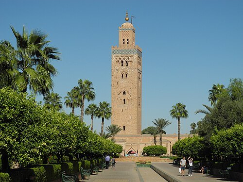 mosque
Koutoubia Mosque
mosque in Marrakesh, Morocco
Getting there Nearest stop or station Horse Drawn Carriages, about 4 min on foot OpenStreetMap
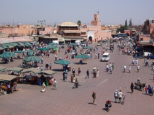
Dániel Csörföly / CC BY-SA 3.0
bazaarJemaa el-Fnaa
urban square and market in Marrakech and Moroccan cultural heritage site
Getting there Nearest stop or station Horse Drawn Carriages, about 3 min on foot OpenStreetMap
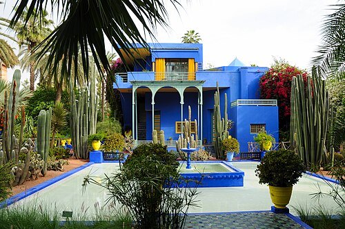 garden
Majorelle Garden
art museum garden in Marrakesh, Morocco
Getting there Nearest stop or station Gare Routière, about 11 min on foot OpenStreetMap
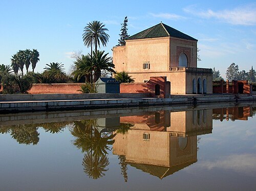 garden
Menara gardens
Moroccan cultural heritage site
Getting there Nearest stop or station CTM Gare Voyage, about 18 min on foot OpenStreetMap
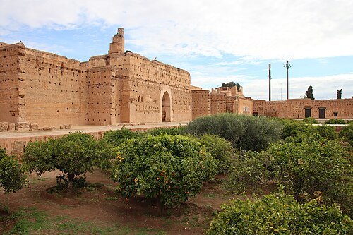 royal palace
El Badi Palace
Moroccan cultural heritage site
Getting there Nearest stop or station Big Taxi, about 9 min on foot OpenStreetMap
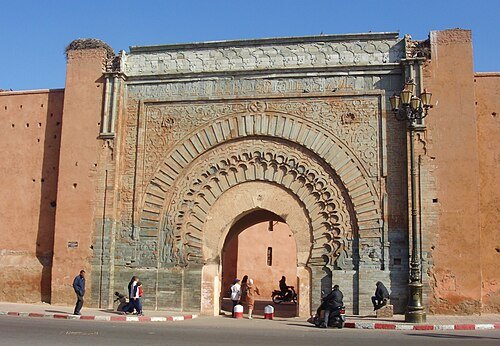
John Doyle doyler79 / CC BY 3.0
city gateBab Agnaou
city gate of Marrakesh, Morocco
Getting there Nearest stop or station Bus to Imlil, about 7 min on foot OpenStreetMap
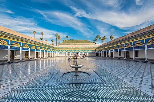 royal palace
Bahia Palace
palace and museum in Marrakesh, Morocco
Getting there Nearest stop or station Big Taxi, about 12 min on foot OpenStreetMap
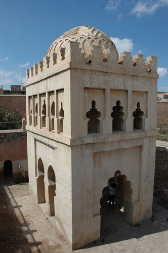 monument
Almoravid Koubba
old water fountain in Marrakesh
Getting there Nearest stop or station Horse Drawn Carriages, about 13 min on foot OpenStreetMap
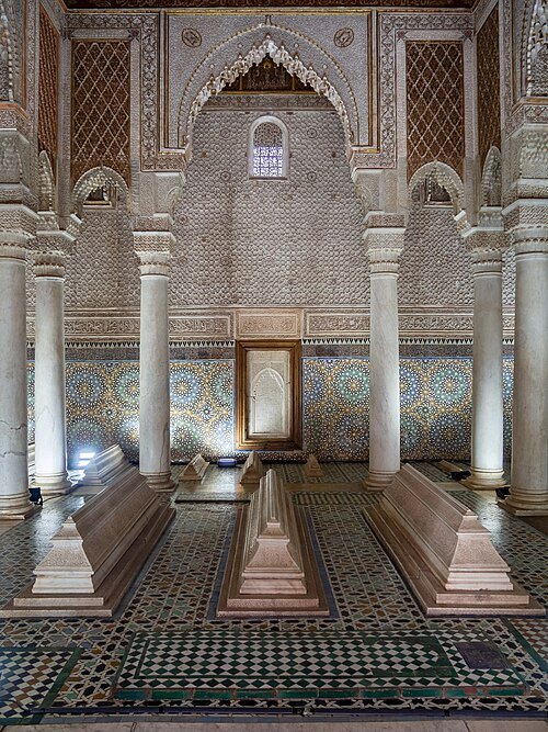 mausoleum
Saadian Tombs
Moroccan cultural heritage site
Getting there Nearest stop or station Big Taxi, about 9 min on foot OpenStreetMap
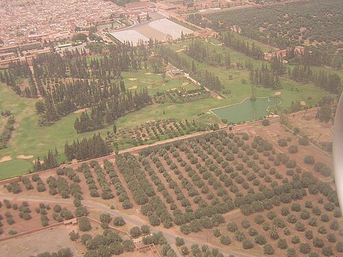
Marrakech,_Agdal_Gardens,_2007-08-01.jpg: Patrice derivative work: Teofilo (talk) / CC BY 2.0
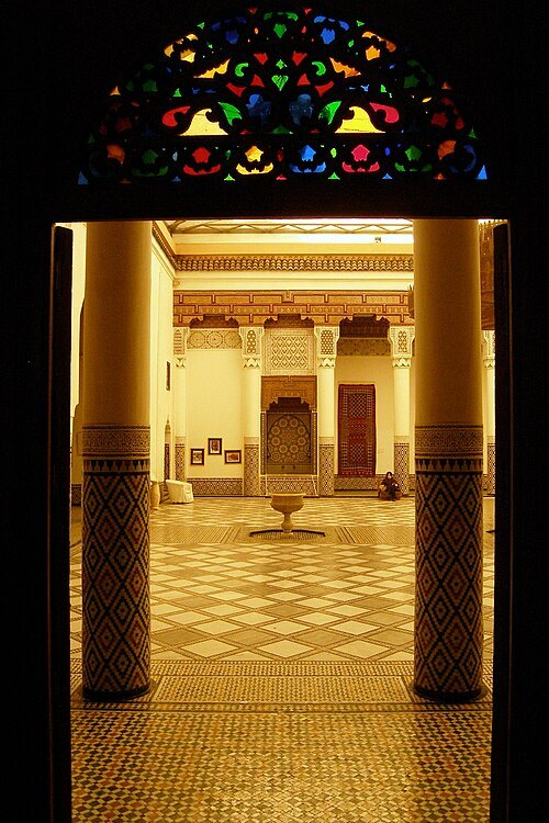
User:China_Crisis / CC BY-SA 2.5
museumMarrakech Museum
art museum in Marrakesh, Morocco
Getting there Nearest stop or station Horse Drawn Carriages, about 13 min on foot OpenStreetMap
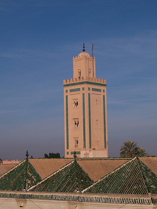
Philip Sheldrake from London, UK / CC BY-SA 2.0
mosqueIbn Yusuf Mosque
Mosque in Marrakesh, Morocco
Getting there Nearest stop or station Horse Drawn Carriages, about 13 min on foot OpenStreetMap
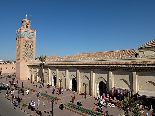 mosque
Al-Mansour Mosque
mosque in Marrakesh, Morocco
Getting there Nearest stop or station Big Taxi, about 8 min on foot OpenStreetMap
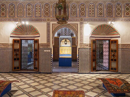 museum
Dar Si Said Museum
museum in Morocco
Getting there Nearest stop or station Big Taxi, about 10 min on foot OpenStreetMap
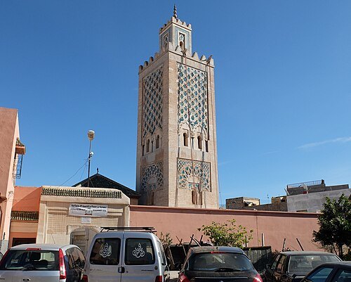 mosque
Ibn Salah Mosque
mosque in Marrakesh, Morocco
Getting there Nearest stop or station Horse Drawn Carriages, about 15 min on foot OpenStreetMap
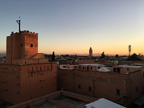
Ty Terrasso from Houston / CC BY 2.0
mosqueAl-Shorafaa Mosque
Mosque in Marrakesh, Morocco
Getting there Nearest stop or station Horse Drawn Carriages, about 8 min on foot OpenStreetMap
David Berkowitz from New York, NY, USA / CC BY 2.0
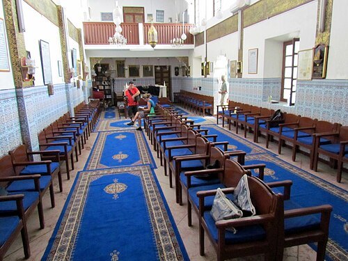
synagogueSlat Al Azama Synagogue
Synagogue in Marrakesh, Morocco
Getting there Nearest stop or station Big Taxi, about 12 min on foot OpenStreetMap
 city gate
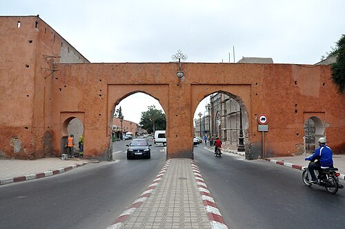
Bab er-Robb
Moroccan cultural heritage site
Getting there Nearest stop or station Bus to Imlil, about 8 min on foot OpenStreetMap
 fountain
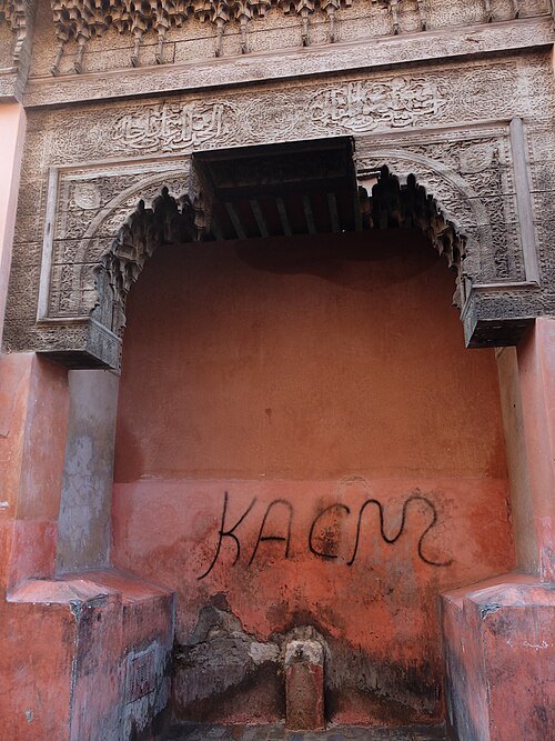
Shrob ou shouf fountain
Moroccan cultural heritage site
Getting there Nearest stop or station Grand Taxis, about 15 min on foot OpenStreetMap
 heritage
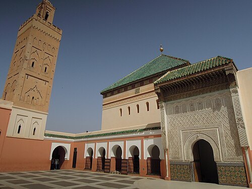
Sidi Bel Abbes Zawiya
building in Africa
Getting there Nearest stop or station Grand Taxis, about 10 min on foot OpenStreetMap
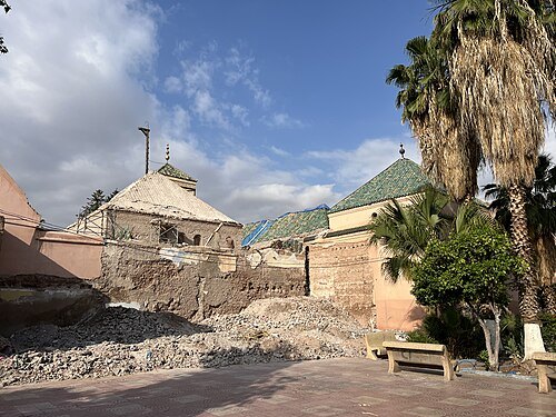 mosque
Buraima Mosque
Mosque in Marrakesh, Morocco
Getting there Nearest stop or station Big Taxi, about 15 min on foot OpenStreetMap
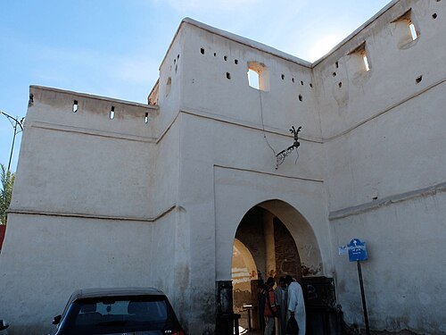
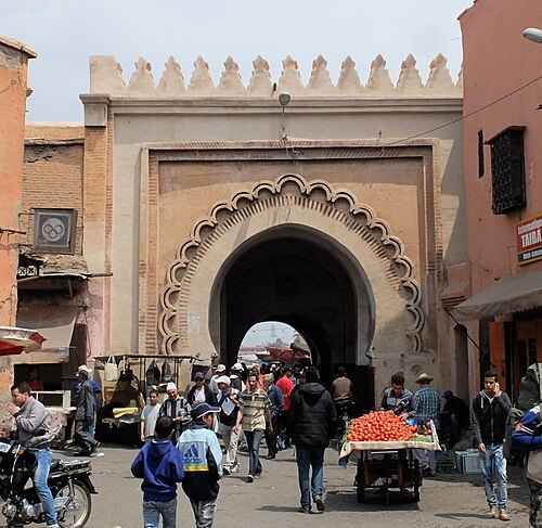
Robert Prazeres / CC BY-SA 4.0
gateBab El Khemis (Marrakech)
Moroccan cultural heritage site
Getting there Nearest stop or station Grand Taxis, about 19 min on foot OpenStreetMap
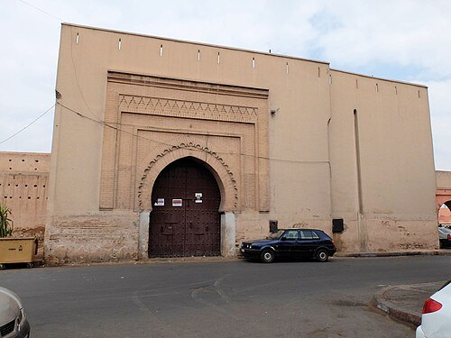
Robert Prazeres / CC BY-SA 4.0
city gateBab Dukkala
gate located northwest of the Medina of Marrakesh
Getting there Nearest stop or station Gare Routière, about 3 min on foot OpenStreetMap
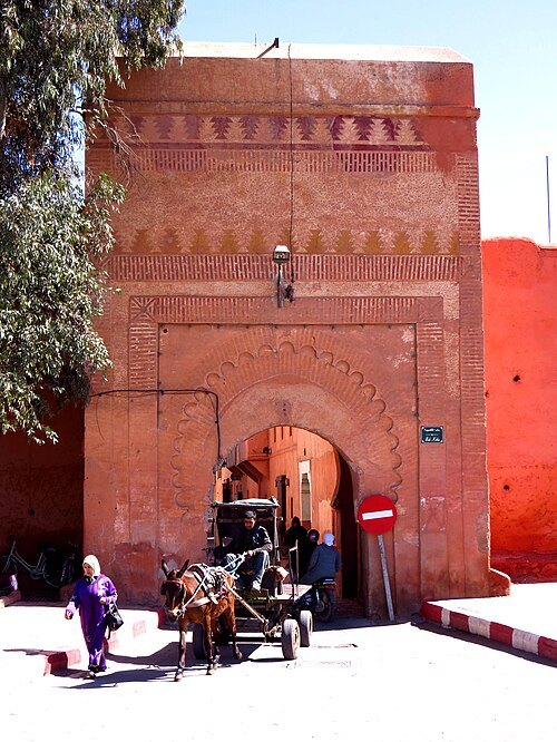
D. Gordon E. Robertson / CC BY-SA 3.0
city gateBab Ksiba
building in Morocco
Getting there Nearest stop or station Bus to Imlil, about 17 min on foot OpenStreetMap
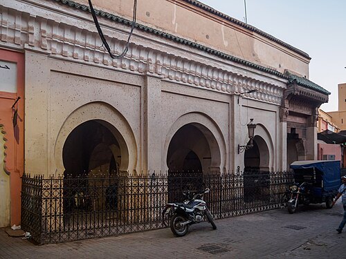 fountain
Mouassine Fountain
Moroccan cultural heritage site
Getting there Nearest stop or station Horse Drawn Carriages, about 9 min on foot OpenStreetMap
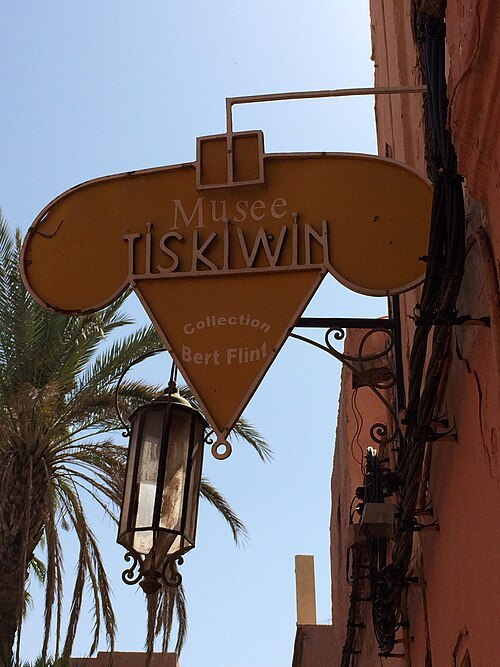 museum
Tiskiwin Museum
Getting there Nearest stop or station Big Taxi, about 9 min on foot OpenStreetMap
 garden
Arsat Moulay Abdessalam Garden
Moroccan cultural heritage site
Getting there Nearest stop or station Horse Drawn Carriages, about 13 min on foot OpenStreetMap
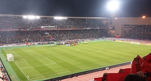 association football venue
Marrakesh Stadium
football stadium in Marrakesh, Morocco, inaugurated in 2011
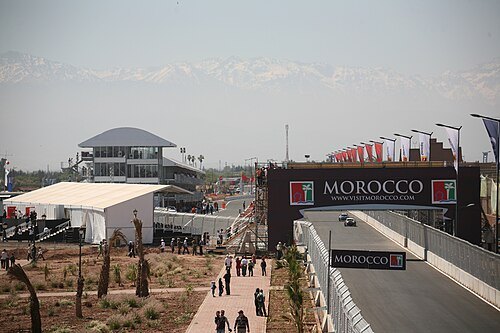
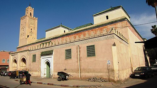
Martin Furtschegger / CC BY 3.0
mosqueBab Doukkala Grand Mosque
Mosque in Marrakesh, Morocco
Getting there Nearest stop or station Gare Routière, about 9 min on foot OpenStreetMap
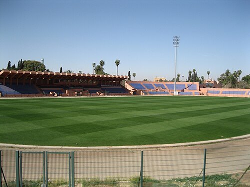 stadium
Stade El Harti
building in Morocco
Getting there Nearest stop or station Marrakech, about 13 min on foot OpenStreetMap
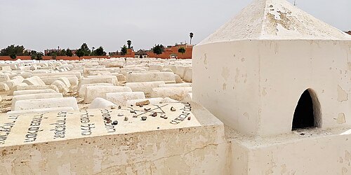 jewish cemetery
Jewish Cemetery of Marrakech
Cemetery in Morocco
Getting there Nearest stop or station Big Taxi, about 17 min on foot OpenStreetMap
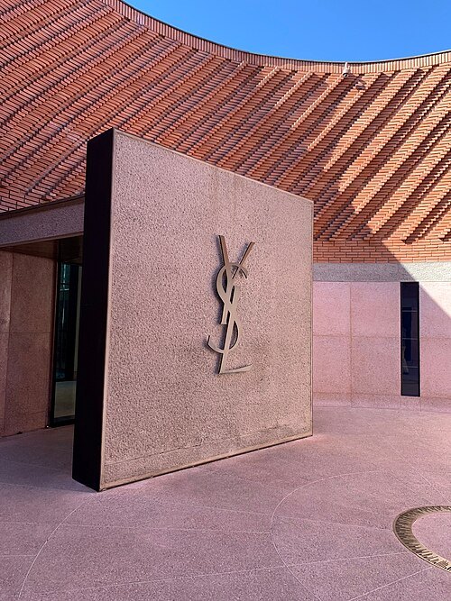 museum
Yves Saint Laurent Museum in Marrakesh
museum dedicated to the fashion designer Yves Saint Laurent
Getting there Nearest stop or station Grand Taxis, about 13 min on foot OpenStreetMap
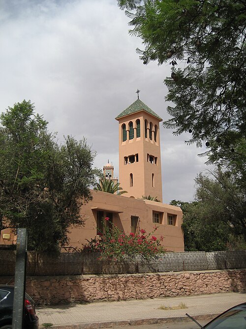 catholic church building
Church of the Saints Martyrs
Marrakech
Getting there Nearest stop or station Gare Routière, about 16 min on foot OpenStreetMap
- mosque
Al-Qita Mosque
mosque in Marrakesh, Morocco
Getting there Nearest stop or station Horse Drawn Carriages, about 5 min on foot OpenStreetMap
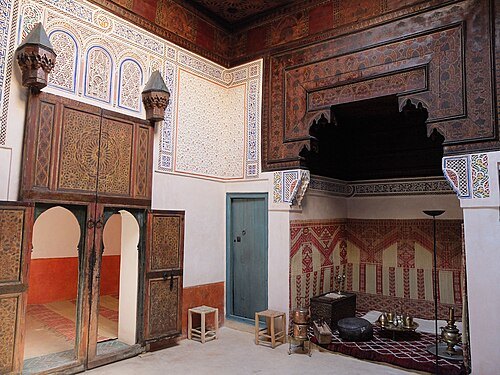
Robert Prazeres / CC BY-SA 4.0
museumMouassine Museum
museum and historic house in Marrakesh, Morocco
Getting there Nearest stop or station Horse Drawn Carriages, about 8 min on foot OpenStreetMap
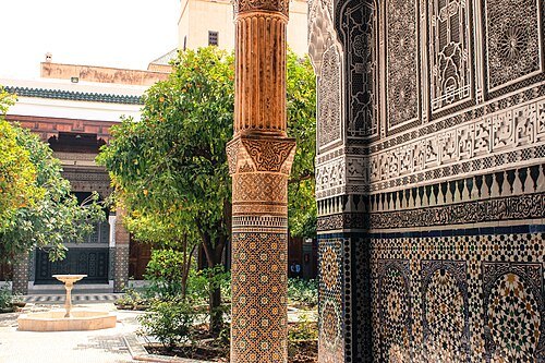 museum
Dar el Bacha
historic house museum in Marrakech, Morocco
Getting there Nearest stop or station Horse Drawn Carriages, about 12 min on foot OpenStreetMap
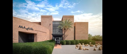
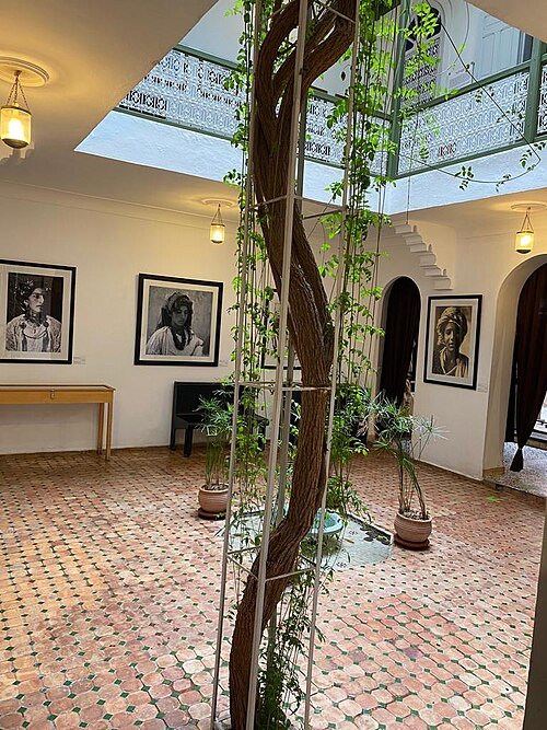 museum
House of photography
museum in Morocco
Getting there Nearest stop or station Horse Drawn Carriages, about 16 min on foot OpenStreetMap
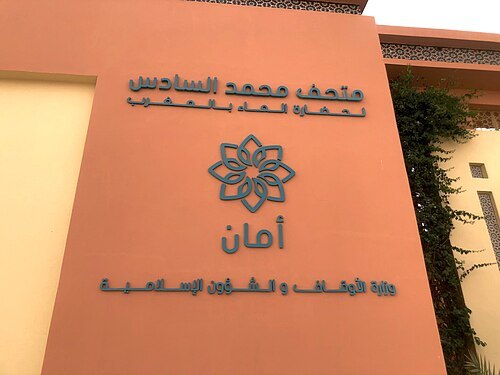
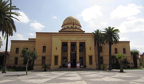
Martin Furtschegger / CC BY 3.0
theatre buildingRoyal Theatre
Theater building in Marrakech, Marrakech-Tensift-El Haouz, Morocco; Marrakech, Marrakech-Tensift-El Haouz, Morocco
Getting there Nearest stop or station Marrakech, about 4 min on foot OpenStreetMap
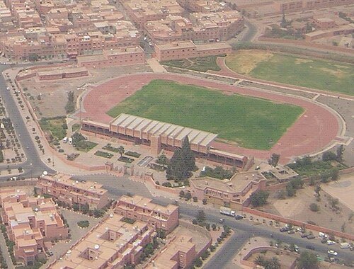
Marrakech,_Sidi_Youssef_Ben_Ali,_2007-08-01.jpg: Patrice derivative work: Teofilo (talk) / CC BY 2.0
stadiumSidi-Youssef-Ben-Ali stadium
stadium in Marrakech
Getting there Nearest stop or station Gare Routière, about 11 min on foot OpenStreetMap
- water park
Oasiria


Places to eat
- cafe
Ayaso Concept Store
Food: coffee shop
- restaurant
Le Trou au Mur
Food: regional, international, moroccan
Nothing here matches that. Clear a filter and try again.
Opening hours and tickets: OpenStreetMap contributors. Each one shows the day a volunteer last wrote it down, so check the official site before you set out.