Monterrey: what to see and where to eat
Everything below comes from open data and each row says where it came from. We have not been to any of these places and we do not rank them.
Filters
Things to see
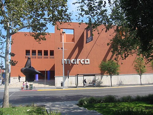 art gallery
Museo de Arte Contemporáneo de Monterrey
Museum of Contemporary Art in Monterrey, Mexico
Getting there Nearest stop or station General I. Zaragoza, about 2 min on foot OpenStreetMap
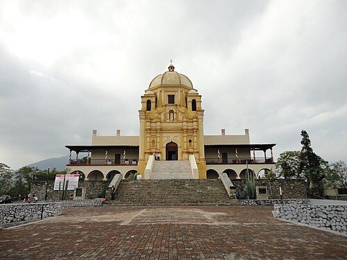
- association football venue
Estadio Monterrey
Football stadium in Monterrey, Nuevo León, Mexico, home venue for CF Monterrey
Getting there Nearest stop or station Tolteca Poniente, about 13 min on foot OpenStreetMap
- association football venue
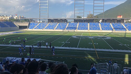
Estadio Universitario
(soccer) stadium at the UANL campus, Monterrey, Nuevo León, Mexico
Getting there Nearest stop or station Universidad, about 7 min on foot OpenStreetMap
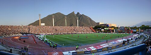
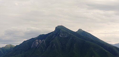
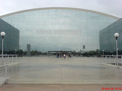
Hector Martínez / CC BY-SA 2.0
arenaMonterrey Arena
arena in Monterrey, Mexico
Getting there Nearest stop or station Parque Fundidora, about 5 min on foot OpenStreetMap
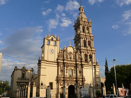 cathedral
Monterrey Cathedral
church in Monterrey, Mexico
Getting there Nearest stop or station General I. Zaragoza, about 4 min on foot OpenStreetMap
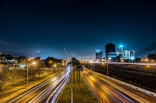
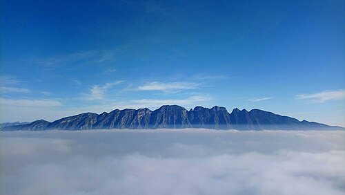
José Javier Reyna Va… / CC BY-SA 3.0
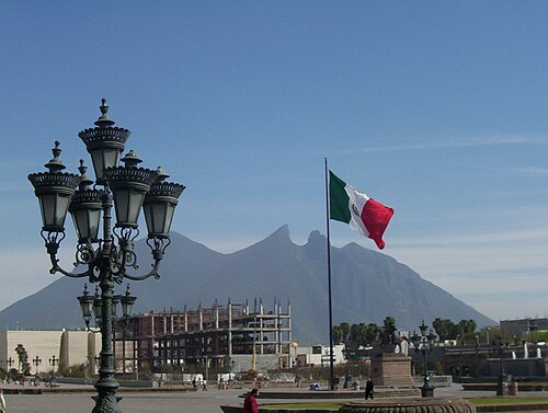
squareMacroplaza
square in Monterrey, Mexico
Getting there Nearest stop or station General I. Zaragoza, about 2 min on foot OpenStreetMap
- stadium
Estadio de Béisbol Monterrey
stadium
Getting there Nearest stop or station Niños Heroes, about 8 min on foot OpenStreetMap
México en Fotos / CC BY-SA 2.0
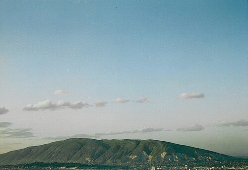
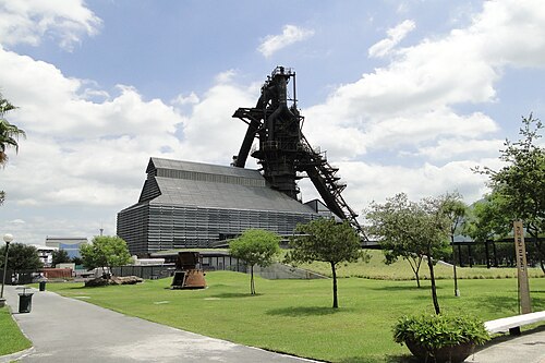
parkFundidora park
public space in Monterrey, México
Getting there Nearest stop or station Embarcadero Santa Lucía, about 9 min on foot OpenStreetMap
- show cave
Grutas de García
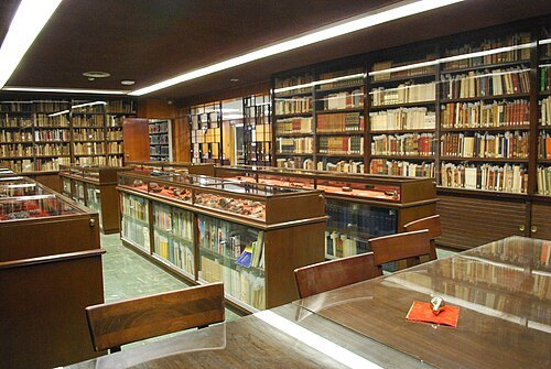 library
Cervantine Library
Special collections of Monterrey Institute of Technology and Higher Studies
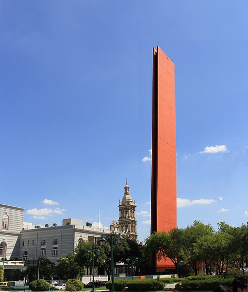 monument
Faro del Comercio
monument in Mexico
Getting there Nearest stop or station General I. Zaragoza, about 3 min on foot OpenStreetMap
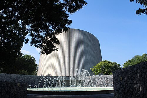
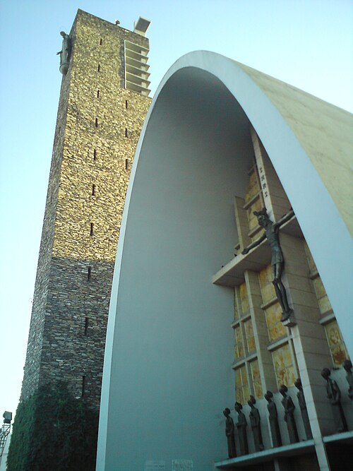 minor basilica
La Purísima
Monterrey
Getting there Nearest stop or station Fundadores, about 12 min on foot OpenStreetMap
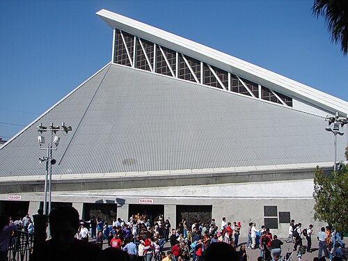 basilica
Basilica of Guadalupe, Monterrey
basilica in Monterrey, Mexico
Getting there Nearest stop or station General I. Zaragoza, about 18 min on foot OpenStreetMap
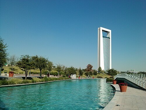 tower block
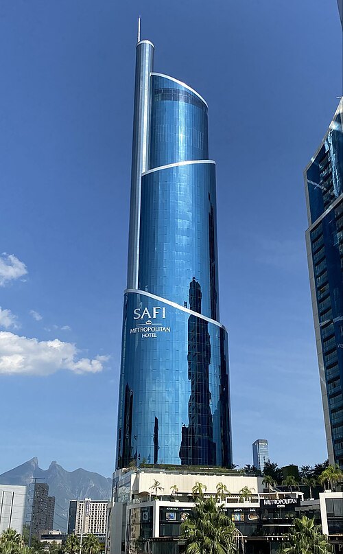
Torre Ciudadana
skyscraper in Monterrey, Mexico
Getting there Nearest stop or station Embarcadero Santa Lucía, about 6 min on foot OpenStreetMap
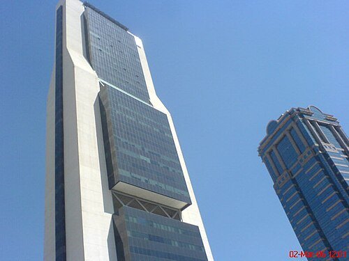
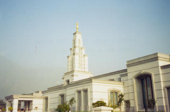
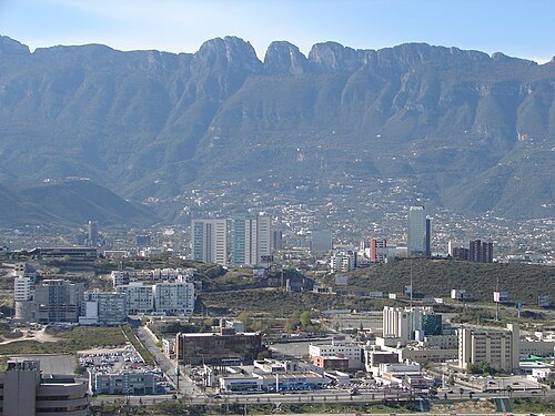
No machine-readable author provided. Valdezlopez assumed (based on copyright claims). / CC BY-SA 3.0
- mountain range
Cerros de Enmedio
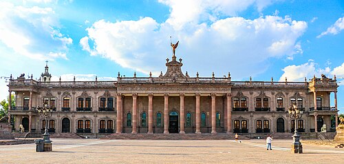
LABNL Lab Cultural Ciudadano / CC BY-SA 2.0
museumGovernment Palace Museum
state government building in Monterrey, Mexico
Getting there Nearest stop or station Embarcadero Inicio del Santa Lucía, about 4 min on foot OpenStreetMap
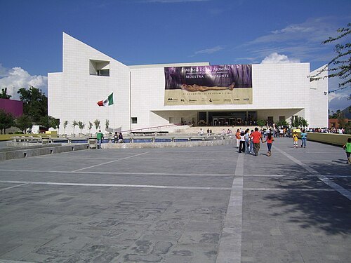 museum
Mexican History Museum, Monterrey
museum in Mexico
Getting there Nearest stop or station Embarcadero Inicio del Santa Lucía, about 1 min on foot OpenStreetMap
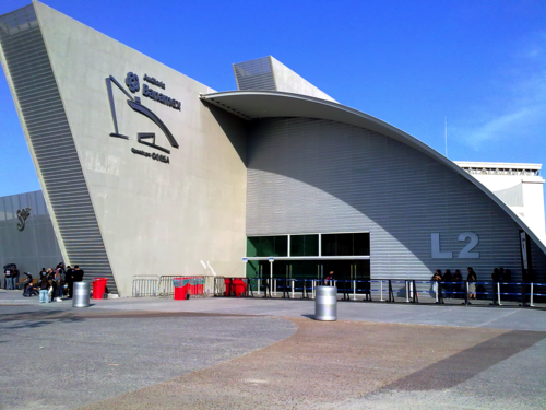 theatre building
Auditorio Banamex
amphitheater in Mexico
Getting there Nearest stop or station Y Griega, about 9 min on foot OpenStreetMap
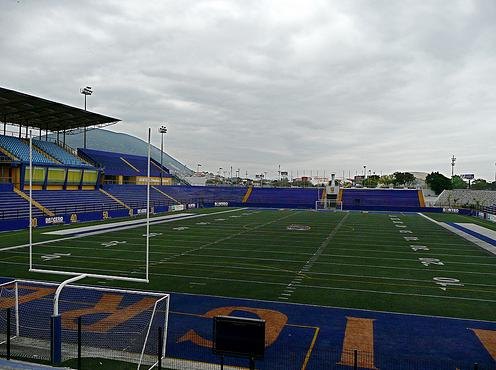 sports venue
Estadio Gaspar Mass
American football stadium in Monterrey, Nuevo León, Mexico
Getting there Nearest stop or station Universidad, about 10 min on foot OpenStreetMap


Places to eat
- restaurant
Comidas Caseras, La Tía Mary
Food: regional
- restaurant
Kød Rustic Deli
Food: sandwich, meat
- restaurant
La Chueca
Food: tacos, mexican, burger
- cafe
El Cafelito
Food: coffee shop
- restaurant
El cabrito
Food: regional
- restaurant
La Candela
Food: regional
- restaurant
Los Generales
Food: regional
- restaurant
Tacos Loncha
Food: regional, tacos
- cafe
Tim Hortons
Food: coffee shop
- restaurant
tacos y gorditas del comal a su boca
Food: mexican
Nothing here matches that. Clear a filter and try again.
Opening hours and tickets: OpenStreetMap contributors. Each one shows the day a volunteer last wrote it down, so check the official site before you set out.