Mexico City: what to see and where to eat
Everything below comes from open data and each row says where it came from. We have not been to any of these places and we do not rank them.
Filters
Things to see
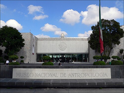 national museum
National Museum of Anthropology
national museum of Mexico
Getting there Nearest stop or station Auditorio, about 10 min on foot OpenStreetMap
- sculpture
Aztec sun stone
16th century Mexica sculpture
Getting there Nearest stop or station Auditorio, about 8 min on foot OpenStreetMap
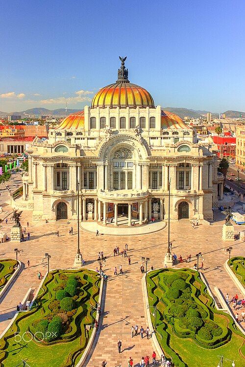
Octavio Alonso Maya Castro / CC BY-SA 3.0
concert hallPalace of Fine arts
cultural centre in Mexico City
Getting there Nearest stop or station Bellas Artes, about 2 min on foot OpenStreetMap
- old town
Historic downtown of Mexico City
original colonial layout of Mexico's capital city
Getting there Nearest stop or station Zócalo/Tenochtitlan, about 1 min on foot OpenStreetMap
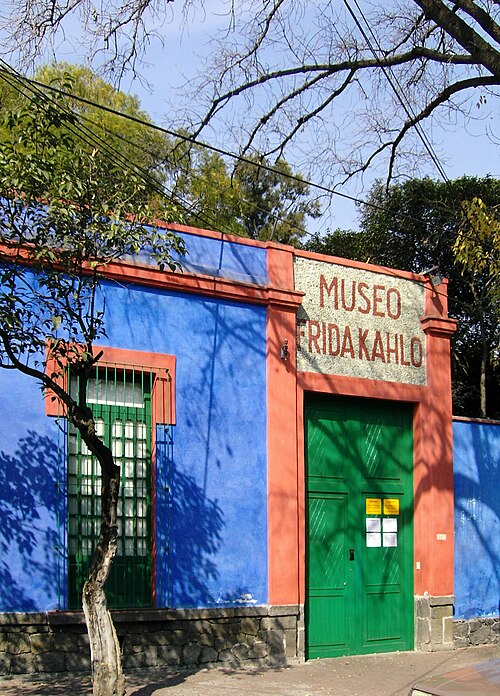 art museum
Frida Kahlo Museum
historic house museum and art museum dedicated to the life and work of Mexican artist Frida Kahlo
Getting there Nearest stop or station Coyoacán, about 17 min on foot OpenStreetMap
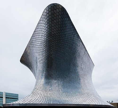 museum network
Museo Soumaya
art museum in Mexico City, Mexico, with two venues: Plaza Carso and Plaza Loreto.
Getting there Nearest stop or station Ebus Antara, about 6 min on foot OpenStreetMap
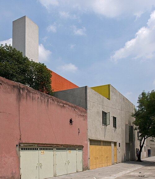 museum
Luis Barragán House and Studio
Mexico City cultural institution
Getting there Nearest stop or station Constituyentes, about 2 min on foot OpenStreetMap
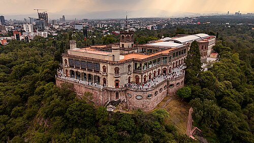
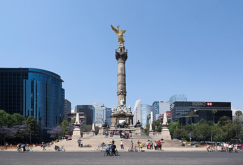
Carlos Valenzuela / CC BY-SA 4.0
monumentAngel of Independence
monument in Mexico City
Getting there Nearest stop or station Terrapuerto El Ángel, about 4 min on foot OpenStreetMap
- catholic parish church
Basilica of Our Lady of Guadalupe
basilica in Mexico City
Getting there Nearest stop or station La Villa-Basílica, about 5 min on foot OpenStreetMap
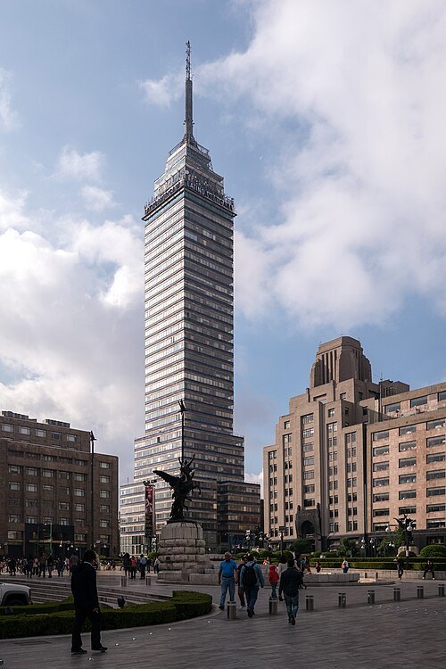 skyscraper
Torre Latinoamericana
tower in Mexico City
Getting there Nearest stop or station Bellas Artes, about 4 min on foot OpenStreetMap
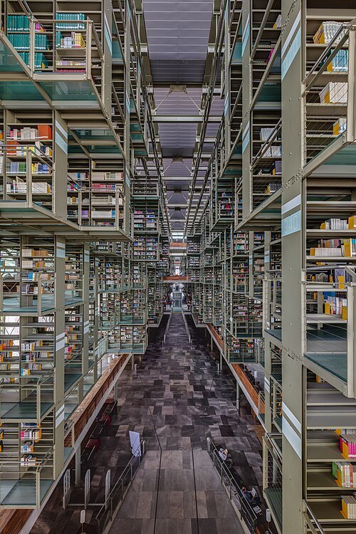 public library
Vasconcelos Library
public library of Mexico City
Getting there Nearest stop or station Buenavista, about 2 min on foot OpenStreetMap
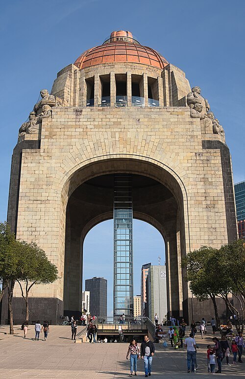
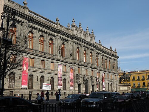 national museum
Museo Nacional de Arte
art museum in Mexico City, Mexico
Getting there Nearest stop or station Bellas Artes, about 2 min on foot OpenStreetMap
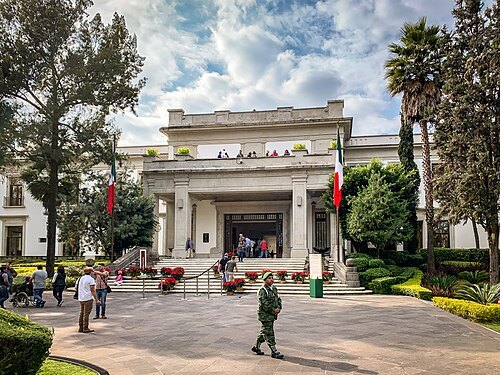 cultural center
Complejo Cultural Los Pinos
Mexico City cultural complex
Getting there Nearest stop or station Los Pinos / Constituyentes, about 4 min on foot OpenStreetMap
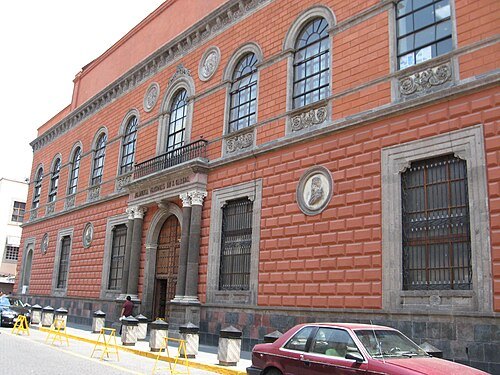 historic building
Academy of San Carlos
first major art academy and the first art museum in the Americas
Getting there Nearest stop or station Zócalo/Tenochtitlan, about 6 min on foot OpenStreetMap
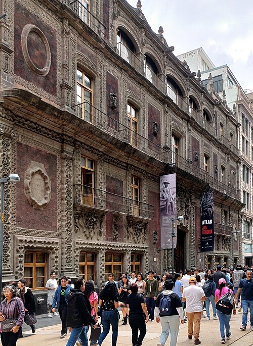 art gallery
Palace of Iturbide
former Imperial Palace of Mexico (1822-1823)
Getting there Nearest stop or station Allende, about 5 min on foot OpenStreetMap
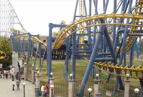
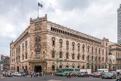 historic building
Palacio de Correos de Mexico
Mexico City historic building
Getting there Nearest stop or station Bellas Artes, about 1 min on foot OpenStreetMap
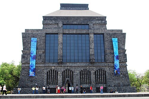
AlejandroLinaresGarcia / CC BY-SA 4.0
museumAnahuacalli Museum
Mexican museum
Getting there Nearest stop or station Nezahualpilli, about 11 min on foot OpenStreetMap
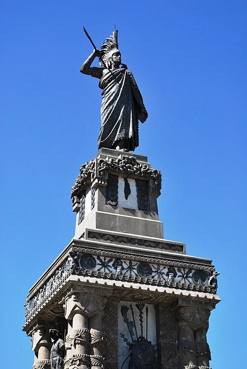
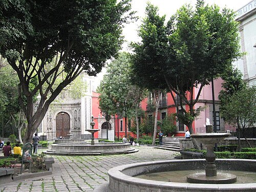 museum
Franz Mayer Museum
art museum
Getting there Nearest stop or station Bellas Artes, about 5 min on foot OpenStreetMap
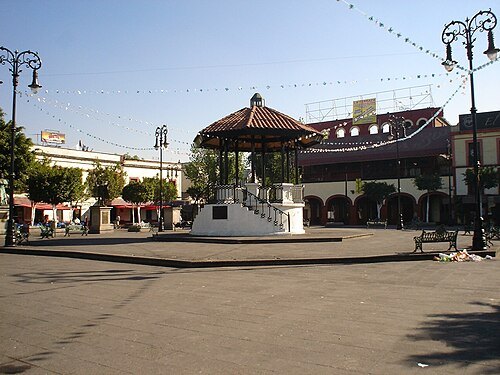 square
plaza Garibaldi
square in Mexico City, Mexico
Getting there Nearest stop or station Garibaldi-Lagunilla, about 6 min on foot OpenStreetMap
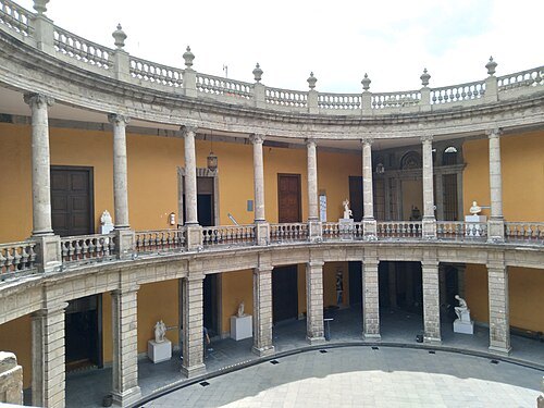
David Moran from Brooklyn / CC BY-SA 2.0
national museumMuseo Nacional de San Carlos
National Museum of Mexico
Getting there Nearest stop or station Revolución, about 4 min on foot OpenStreetMap
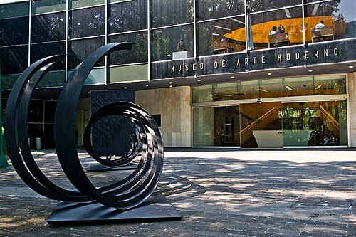 museum of modern art
Museo de Arte Moderno
Art museum in Mexico City, Mexico
Getting there Nearest stop or station Centro de Transferencia Modal Chapultepec, about 6 min on foot OpenStreetMap
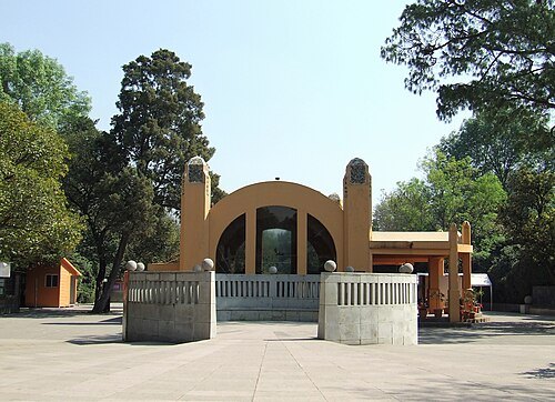
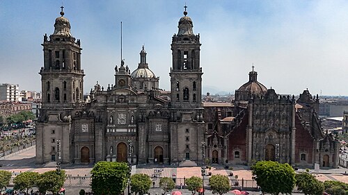 catholic cathedral
Mexico City Metropolitan Cathedral
cathedral in Mexico City
Getting there Nearest stop or station Zócalo/Tenochtitlan, about 4 min on foot OpenStreetMap
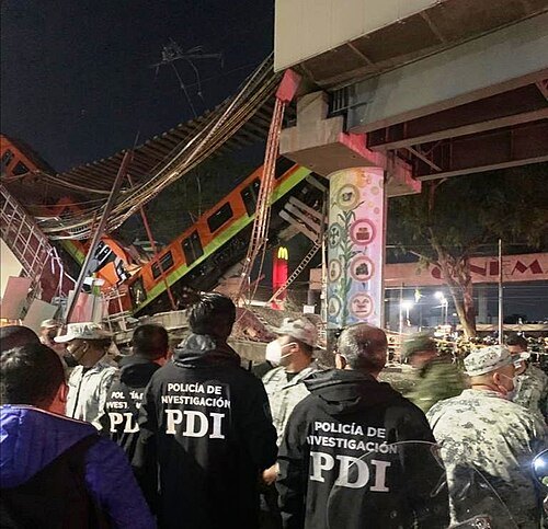
Fiscalía CDMX (Fiscalía General de Justicia de la CDMX) / CC BY 4.0
bridge failure2021 Mexico City Metro overpass collapse
Train accident
Getting there Nearest stop or station Olivos, about 3 min on foot OpenStreetMap
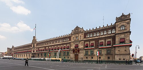 palace
National Palace
Seat of the Executive branch of the Mexican Federal Government in Mexico City
Getting there Nearest stop or station Zócalo/Tenochtitlan, about 1 min on foot OpenStreetMap
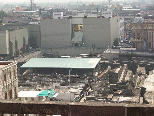 step pyramid
Templo Mayor
main Temple of Tenochtitlan
Getting there Nearest stop or station Zócalo/Tenochtitlan, about 5 min on foot OpenStreetMap
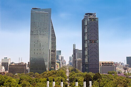
Fernando Flores / CC BY-SA 2.0
avenuePaseo de la Reforma
avenue in Mexico City
Getting there Nearest stop or station Juárez, about 7 min on foot OpenStreetMap
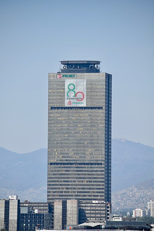
Omar David Sandoval Sida / CC BY-SA 4.0
skyscraperTorre Ejecutiva Pemex
skyscraper in Mexico City
Getting there Nearest stop or station Lago Alberto, about 14 min on foot OpenStreetMap
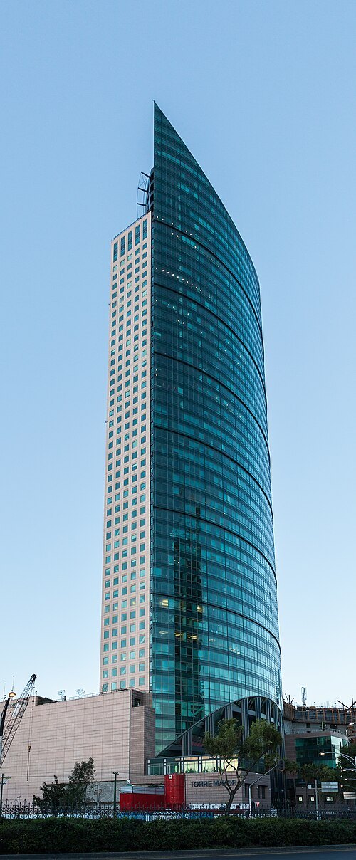 skyscraper
Torre Mayor
skyscraper in Mexico City
Getting there Nearest stop or station Centro de Transferencia Modal Chapultepec, about 4 min on foot OpenStreetMap
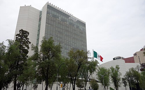
Haakon S. Krohn / CC BY-SA 3.0
parliament buildingSenate of the Republic
upper house of the parliament of Mexico
Getting there Nearest stop or station Cuauhtémoc, about 13 min on foot OpenStreetMap
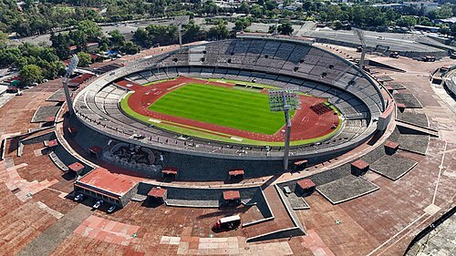
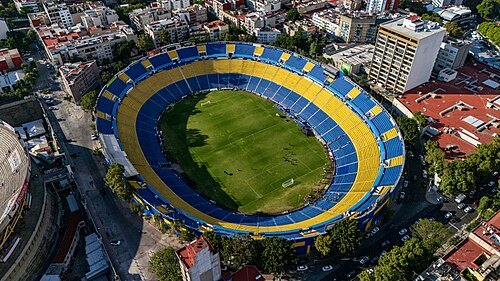 association football venue
Ciudad de los Deportes Stadium
football (soccer) stadium in Ciudad de los Deportes, Mexico City, home venue for Atlante
Getting there Nearest stop or station San Antonio, about 14 min on foot OpenStreetMap
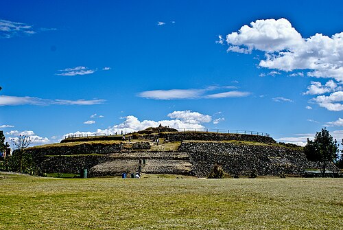

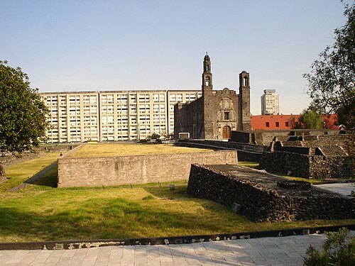
No machine-readable author provided. JEDIKNIGHT1970 assumed (based on copyright claims). / CC BY 2.5
squarePlaza de las Tres Culturas
square in Mexico City
Getting there Nearest stop or station Tlatelolco, about 13 min on foot OpenStreetMap
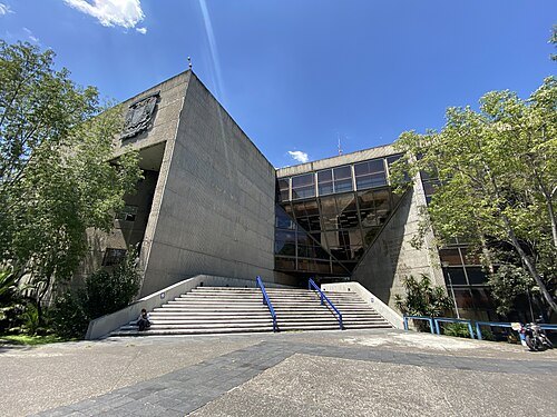 national library
National Library of Mexico
national library
Getting there Nearest stop or station Rutas de transporte interno UNAM, about 17 min on foot OpenStreetMap
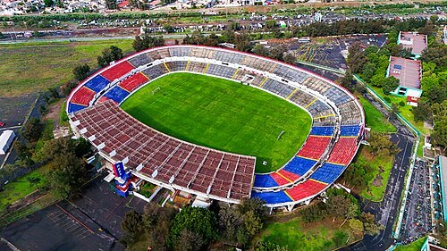 association football venue
Estadio Neza 86
football stadium
Getting there Nearest stop or station Base Toreo- Pantitlan, about 13 min on foot OpenStreetMap
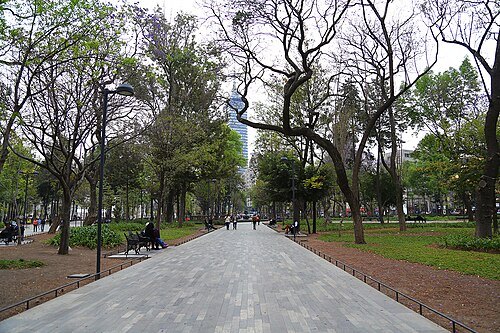 urban park
Alameda Central Park
public park in Mexico City
Getting there Nearest stop or station Bellas Artes, about 5 min on foot OpenStreetMap
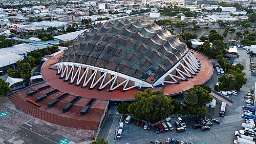 indoor arena
Palacio de los Deportes
indoor arena located in Mexico City
Getting there Nearest stop or station Velódromo, about 8 min on foot OpenStreetMap
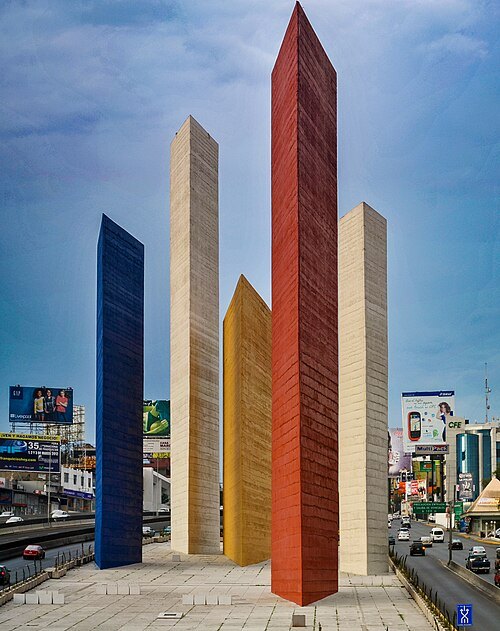
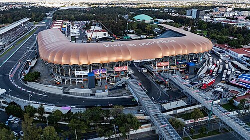 music venue
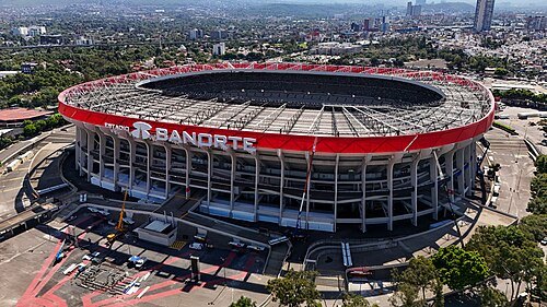
Estadio GNP Seguros
Mexico City multipurpose venue
Getting there Nearest stop or station Ciudad Deportiva, about 10 min on foot OpenStreetMap
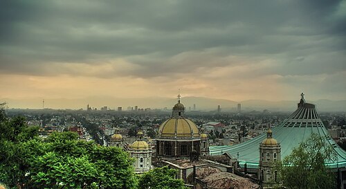
Eneas De Troya from Mexico City, México / CC BY 2.0
mountainTepeyac Hill
mountain in Mexico
Getting there Nearest stop or station La Villa, about 5 min on foot OpenStreetMap
- diocese of the catholic church
Roman Catholic Diocese of Netzahualcóyotl
diocese of the Catholic Church in Mexico
Getting there Nearest stop or station Base Toreo- Pantitlan, about 11 min on foot OpenStreetMap
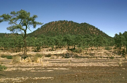
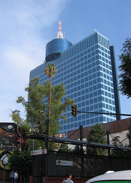
Daniel Manrique (roadmr@entropia.com.mx) / CC BY-SA 3.0
skyscraperWorld Trade Center Mexico City
Office and retail complex in Mexico City
Getting there Nearest stop or station San Pedro de los Pinos, about 20 min on foot OpenStreetMap
- stock market index
S&P/BMV IPC
stock market index
Getting there Nearest stop or station Zócalo/Tenochtitlan, about 2 min on foot OpenStreetMap
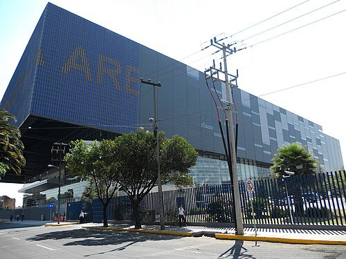 arena
Mexico City Arena
arena in Mexico City, Mexico
Getting there Nearest stop or station Ferrería/Arena Ciudad de México, about 10 min on foot OpenStreetMap
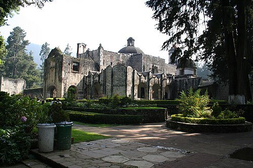
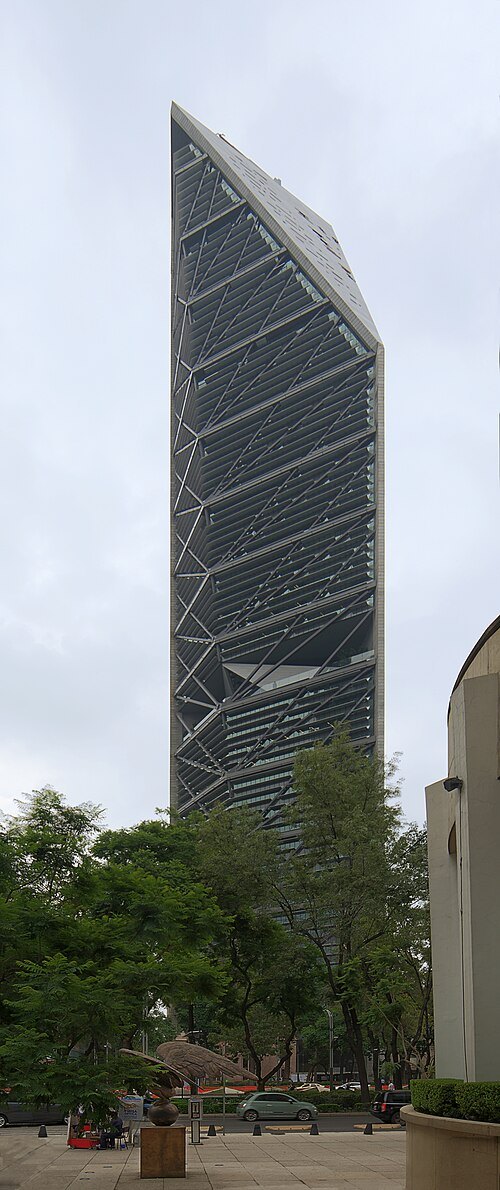 skyscraper
Torre Reforma
Mexico City building
Getting there Nearest stop or station Centro de Transferencia Modal Chapultepec, about 5 min on foot OpenStreetMap
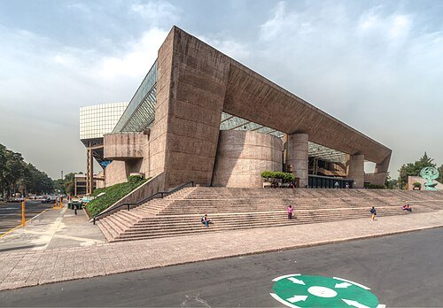
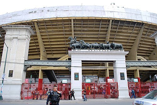
AlejandroLinaresGarcia / CC BY-SA 4.0
first class bullringPlaza México
building in Mexico City, Mexico
Getting there Nearest stop or station San Antonio, about 11 min on foot OpenStreetMap


Places to eat
- cafe
El Café Shabo
Food: coffee shop
- restaurant
El Negrito
Food: mexican
- cafe
El Patio Café
Food: sandwich, breakfast
- restaurant
La Talavera
Food: mexican
- restaurant
La mESILLA
Food: bread
- restaurant
Los Danzantes
Food: mexican
- restaurant
Sushi Itto Playa Regatas
Food: sushi, japanese
- restaurant
Sushi Roll
Food: sushi
- restaurant
TAMALES COYOACÁN
Food: tamalería, mexican
- restaurant
Tamalería Nativitas
Food: tamalería, corn
- cafe
Tkfé
Food: coffee shop
- restaurant
Vege Taco
Food: mexican
- restaurant
hAMBURGUESAS mATIAS
Food: burger
- cafe
Cafetopía
Food: sandwich
- cafe
Café Moreno
Food: cake, coffee shop
- cafe
El Mundo del Café
Food: coffee shop
Nothing here matches that. Clear a filter and try again.
Opening hours and tickets: OpenStreetMap contributors. Each one shows the day a volunteer last wrote it down, so check the official site before you set out.