Valletta: what to see and where to eat
Everything below comes from open data and each row says where it came from. We have not been to any of these places and we do not rank them.
Filters
Things to see
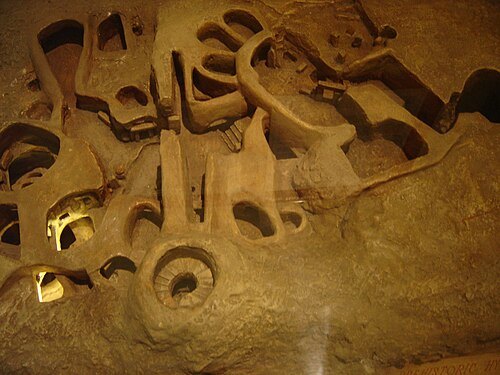
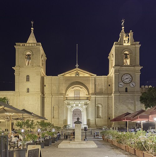 church building
St. John's Co-Cathedral
cathedral in Valletta, Malta
Getting there Nearest stop or station Marsamxett Ferry Terminal, about 6 min on foot OpenStreetMap
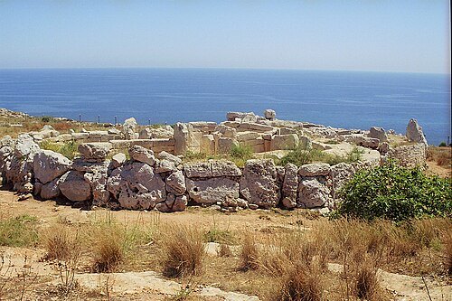
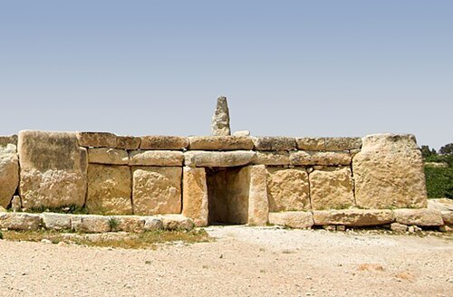
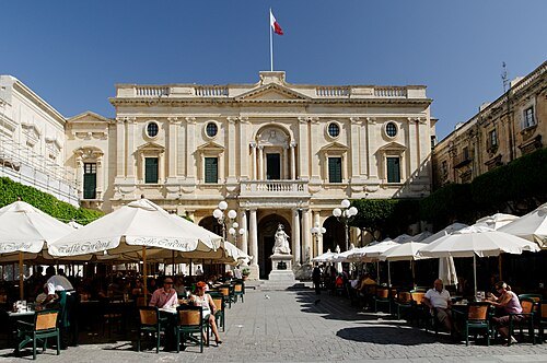 national library
National Library of Malta
national library
Getting there Nearest stop or station Marsamxett Ferry Terminal, about 6 min on foot OpenStreetMap
Continentaleurope / CC BY-SA 4.0
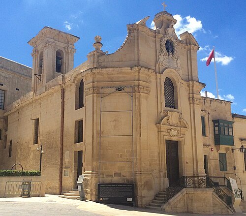
church buildingOur Lady of Victory Church
church in Valletta, Malta
Getting there Nearest stop or station Valletta Bus Terminal, about 3 min on foot OpenStreetMap
 fort
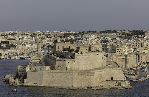
Fort St Angelo
fortification on Malta
Getting there Nearest stop or station Lascaris, about 7 min on foot OpenStreetMap
 star fort
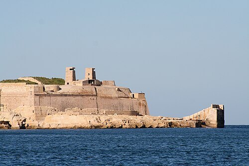
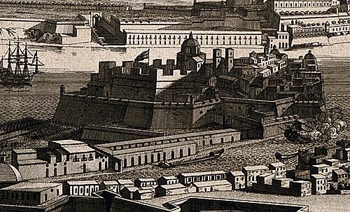
Fort Saint Elmo
fortification in Malta
Getting there Nearest stop or station Marsamxett Ferry Terminal, about 12 min on foot OpenStreetMap
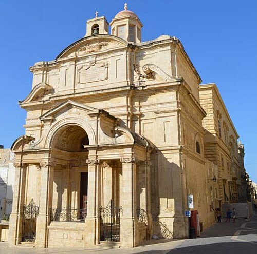
Continentaleurope / CC BY-SA 4.0
church buildingChurch of St Catherine of Italy, Valletta
church building in Valletta, Malta
Getting there Nearest stop or station Valletta Bus Terminal, about 4 min on foot OpenStreetMap
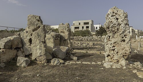
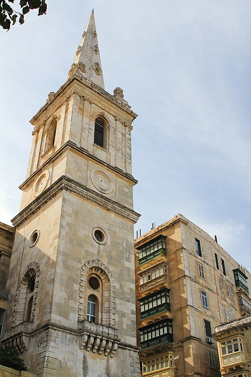 anglican or episcopal cathedral
St Paul's Pro-Cathedral
cathedral
Getting there Nearest stop or station Marsamxett Ferry Terminal, about 2 min on foot OpenStreetMap
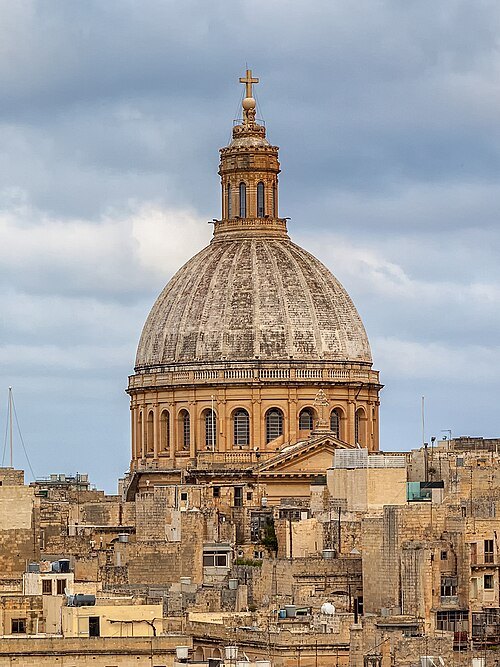 minor basilica
Basilica of Our Lady of Mount Carmel
church in Valletta, Malta
Getting there Nearest stop or station Marsamxett Ferry Terminal, about 3 min on foot OpenStreetMap
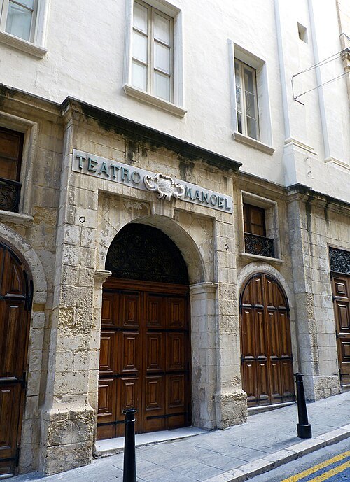 opera house
Manoel Theatre
theatre in Valletta, Malta
Getting there Nearest stop or station Marsamxett Ferry Terminal, about 4 min on foot OpenStreetMap
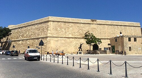
Continentaleurope / CC BY-SA 4.0
movie theaterSaint James Cavalier
16th century fortification in Valletta
Getting there Nearest stop or station Valletta Bus Terminal, about 2 min on foot OpenStreetMap
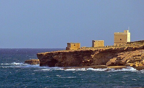
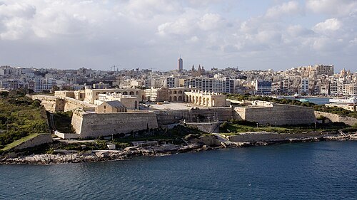 star fort
Fort Manoel
Star fort in Gzira, Malta
Getting there Nearest stop or station Marsamxett Ferry Terminal, about 8 min on foot OpenStreetMap
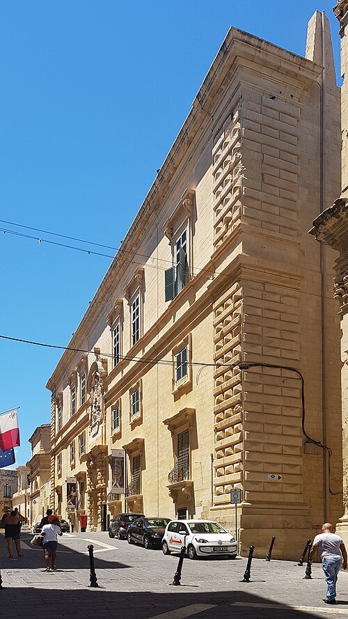 museum building
Auberge d'Italie
Auberge in Valletta, Malta
Getting there Nearest stop or station Valletta Bus Terminal, about 4 min on foot OpenStreetMap
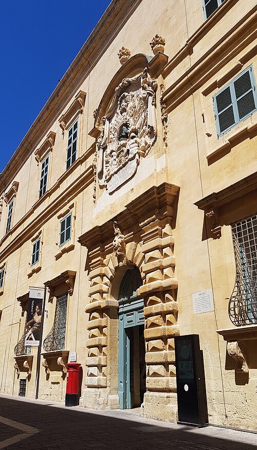 national museum
MUŻA
art museum in Valletta, Malta
Getting there Nearest stop or station Valletta Bus Terminal, about 4 min on foot OpenStreetMap
M-A. Benoist, after J. Goupy / CC BY 4.0
fortFort Saint Michael
Hospitaller fort in Senglea, Malta
Getting there Nearest stop or station Cospicua, about 2 min on foot OpenStreetMap
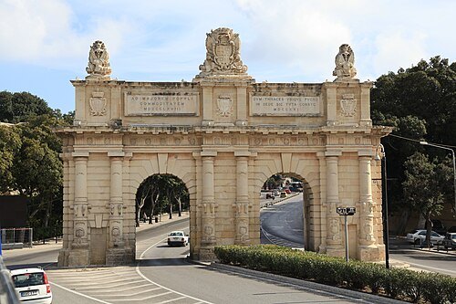 gate
Porte des Bombes
gate in Floriana, Malta
Getting there Nearest stop or station Malta, about 8 min on foot OpenStreetMap
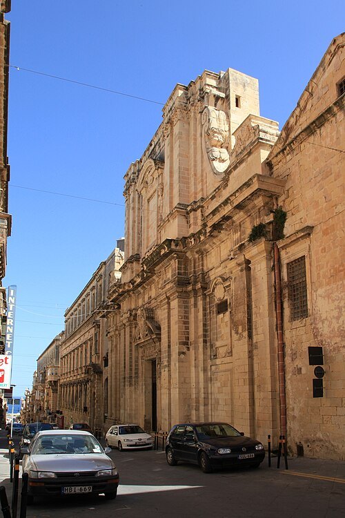 church building
Church of the Jesuits
church in Valletta, Malta
Getting there Nearest stop or station Marsamxett Ferry Terminal, about 9 min on foot OpenStreetMap
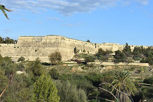
Continentaleurope / CC BY-SA 4.0
fortificationCottonera Lines
line of fortifications in Cospicua and Birgu, Malta
Getting there Nearest stop or station Grand Harbour Marina;Valletta - Three Cities, about 12 min on foot OpenStreetMap
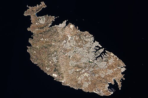
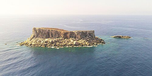
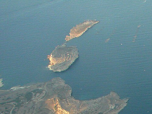
Samuele on English Wikipedia Samuele nella Wikipedia Italiana / Public domain
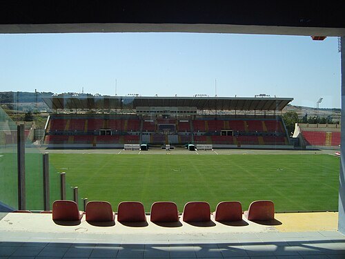
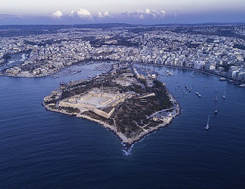 island
Manoel Island
island in Malta
Getting there Nearest stop or station Sliema Ferry Terminal, about 9 min on foot OpenStreetMap
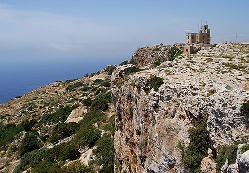
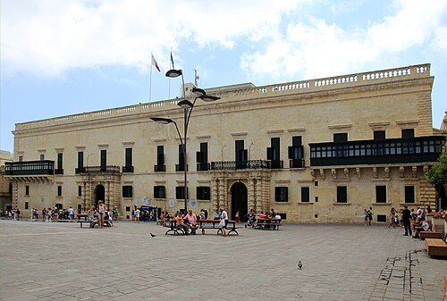 palace
Grandmaster's Palace
palace
Getting there Nearest stop or station Marsamxett Ferry Terminal, about 6 min on foot OpenStreetMap
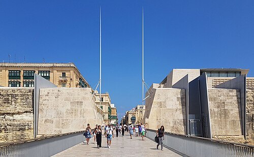 city gate
City Gate
construction in Malta
Getting there Nearest stop or station Valletta Bus Terminal, about 3 min on foot OpenStreetMap
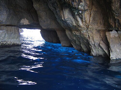
- opera house
Royal Opera House
former opera house in Valletta, Malta
Getting there Nearest stop or station Valletta Bus Terminal, about 3 min on foot OpenStreetMap
- tourist attraction
Popeye Village
 archaeological museum
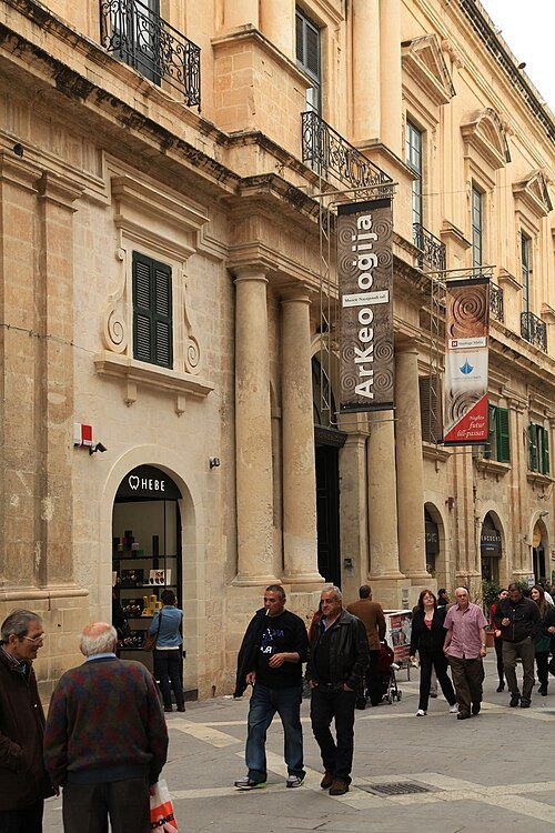
National Museum of Archaeology
archaeology museum in Valletta, Malta
Getting there Nearest stop or station Marsamxett Ferry Terminal, about 5 min on foot OpenStreetMap
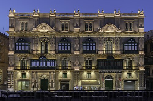 palace
Palazzo Ferreria
palace in Valletta, Malta
Getting there Nearest stop or station Valletta Bus Terminal, about 4 min on foot OpenStreetMap
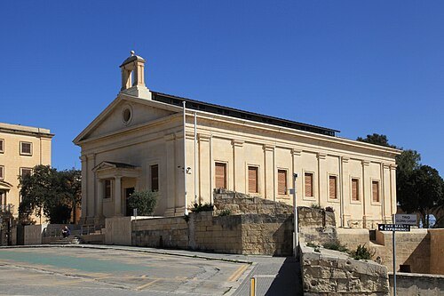 regulated market
Malta Stock Exchange
stock exchange of the Maltese Islands
Getting there Nearest stop or station Lascaris, about 3 min on foot OpenStreetMap
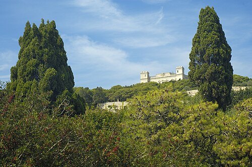
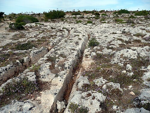
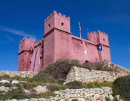
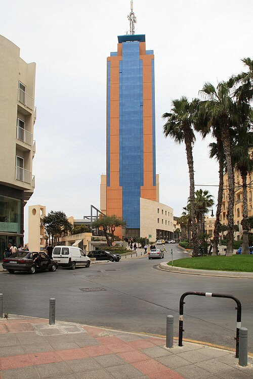 tower block
Portomaso Business Tower
High-rise office building in Malta
Getting there Nearest stop or station Ferry Terminal Spinola (under construction), about 6 min on foot OpenStreetMap
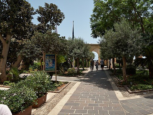 garden
Upper Barrakka Gardens
garden in Valletta, Malta
Getting there Nearest stop or station Lascaris, about 2 min on foot OpenStreetMap
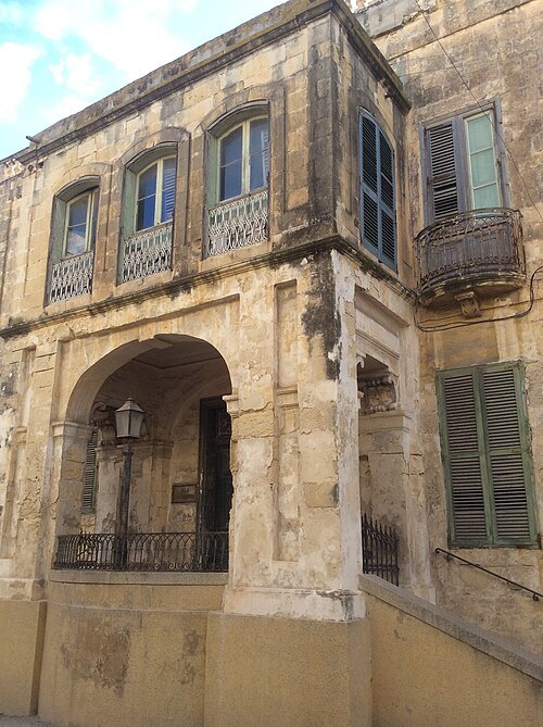
Continentaleurope / CC BY-SA 3.0
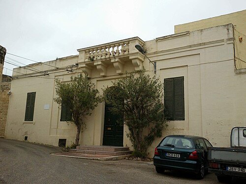
villaVilla Guardamangia
villa in Pietà, Malta
Getting there Nearest stop or station Virtù Ferries, about 15 min on foot OpenStreetMap
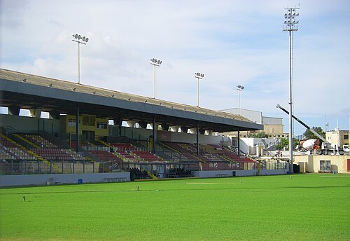 association football venue
Tony Bezzina Stadium
stadium in Paola, Malta
Getting there Nearest stop or station Cospicua, about 10 min on foot OpenStreetMap
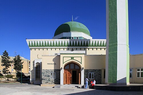 mosque
Mariam Al-Batool Mosque
mosque in Paola, Malta
Getting there Nearest stop or station Virtù Ferries, about 20 min on foot OpenStreetMap
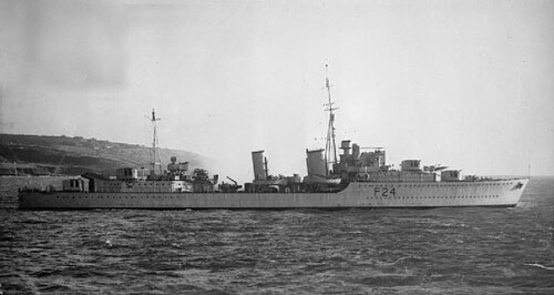
Royal Navy official photographer / Public domain
shipwreckHMS Maori
1937 Tribal-class destroyer
Getting there Nearest stop or station Marsamxett Ferry Terminal, about 15 min on foot OpenStreetMap
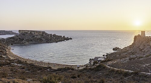
JialiangGao www.peace-on-earth.org / CC BY-SA 3.0
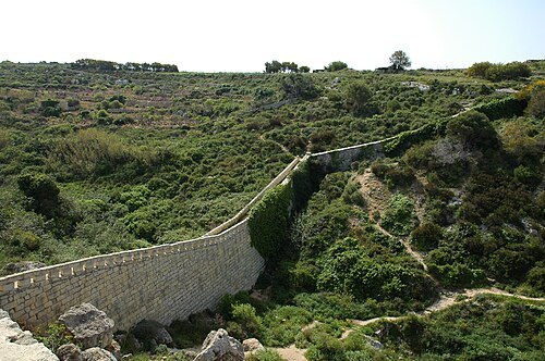
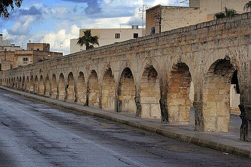
aqueductWignacourt Aqueduct
17th-century aqueduct in Malta
Getting there Nearest stop or station Birkirkara Bus Terminus, about 14 min on foot OpenStreetMap
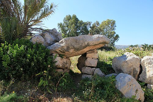
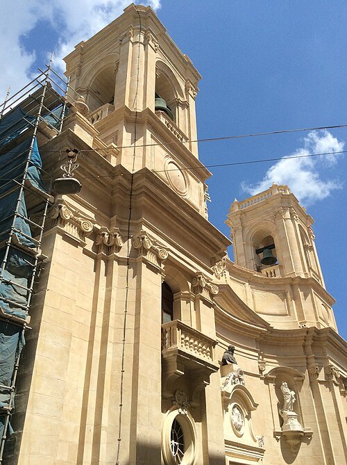
Continentaleurope / CC BY-SA 4.0
minor basilicaBasilica of St Dominic
church in Valletta
Getting there Nearest stop or station Marsamxett Ferry Terminal, about 9 min on foot OpenStreetMap
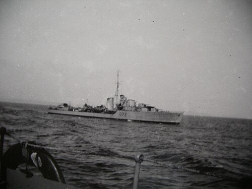
Arthur Conry (digitised and edited by Wiki-Ed) / CC BY-SA 3.0
shipwreckHMS Jersey
1938 K and N-class destroyer
Getting there Nearest stop or station Lascaris, about 17 min on foot OpenStreetMap
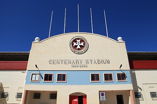
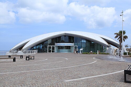 public aquarium
Malta National Aquarium
- heritage trail
Xemxija Heritage Trail


Places to eat
- restaurant
Posh Turkish
Food: balkan, burger, cake, chicken, coffee shop, donut, grill, kebab, pizza, sausage, tea, turkish
- restaurant
Elia Greek Cuisine
Food: greek
- restaurant
Genki
Food: sushi
- restaurant
Sottovento Ristorante Pizzeria
Food: italian
- cafe
Starbucks
Food: coffee shop
Nothing here matches that. Clear a filter and try again.
Opening hours and tickets: OpenStreetMap contributors. Each one shows the day a volunteer last wrote it down, so check the official site before you set out.