Kuala Lumpur: what to see and where to eat
Everything below comes from open data and each row says where it came from. We have not been to any of these places and we do not rank them.
Filters
Things to see
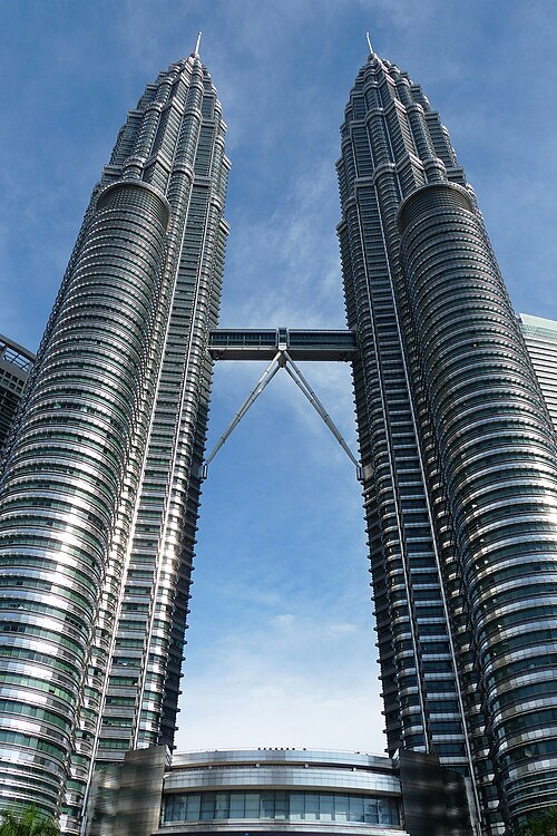
AwOiSoAk KaOsIoWa / CC BY-SA 3.0
skyscraperPetronas Towers
twin skyscrapers in Kuala Lumpur, Malaysia
Getting there Nearest stop or station KLCC, about 4 min on foot OpenStreetMap
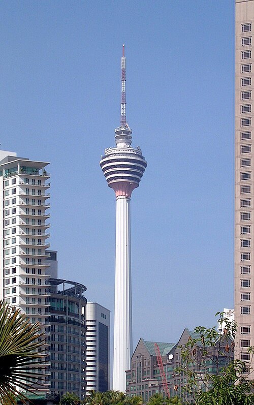 skyscraper
Kuala Lumpur Tower
tower in Kuala Lumpur
Getting there Nearest stop or station Bukit Nanas, about 6 min on foot OpenStreetMap
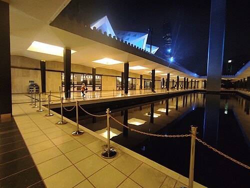 mosque
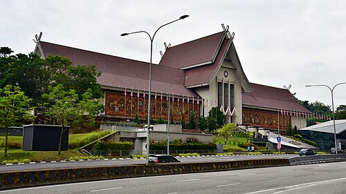
National Mosque of Malaysia
mosque in Kuala Lumpur, Malaysia
Getting there Nearest stop or station Kuala Lumpur, about 4 min on foot OpenStreetMap
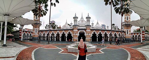 mosque
Sultan Abdul Samad Jamek Mosque
Mosque in Kuala Lumpur, Malaysia
Getting there Nearest stop or station Masjid Jamek, about 1 min on foot OpenStreetMap
Haakon S. Krohn / CC BY-SA 3.0
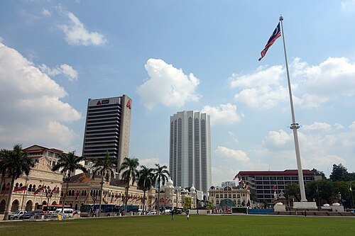
squareIndependence Square
square in Kuala Lumpur, Malaysia
Getting there Nearest stop or station Masjid Jamek, about 5 min on foot OpenStreetMap
 stadium
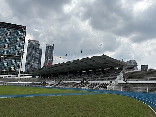
Stadium Merdeka
association football stadium in Kuala Lumpur, Malaysia
Getting there Nearest stop or station Maharajarela, about 2 min on foot OpenStreetMap
 museum
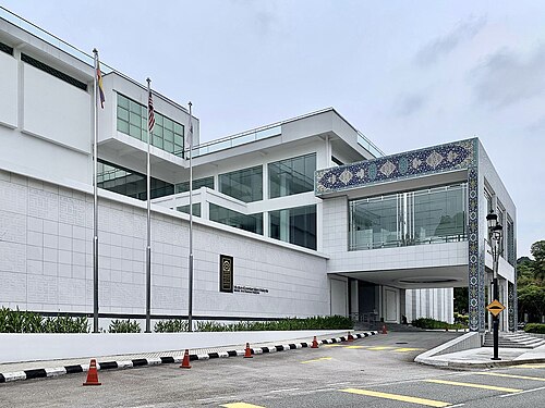
Islamic Arts Museum Malaysia
art museum in Kuala Lumpur
Getting there Nearest stop or station Kuala Lumpur, about 9 min on foot OpenStreetMap
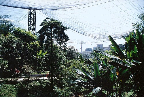
Ural Anonymous / Public domain
zooKuala Lumpur Bird Park
public aviary in Kuala Lumpur, Malaysia
Getting there Nearest stop or station National Museum, about 9 min on foot OpenStreetMap
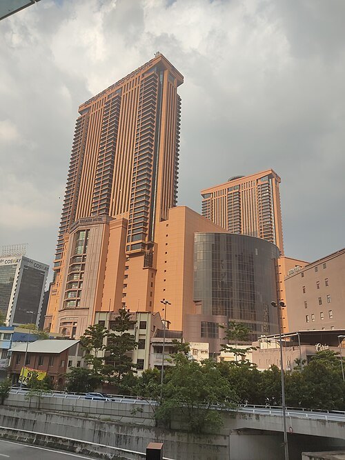 skyscraper
Berjaya Times Square
twin tower complex in Kuala Lumpur, Malaysia
Getting there Nearest stop or station Imbi, about 2 min on foot OpenStreetMap
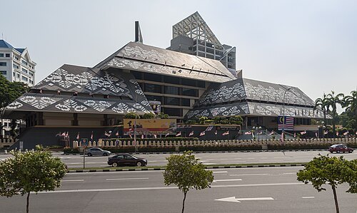
CEphoto, Uwe Aranas / CC BY-SA 3.0
national libraryNational Library of Malaysia
national library in Kuala Lumpur, Malaysia
Getting there Nearest stop or station Raja Uda, about 4 min on foot OpenStreetMap
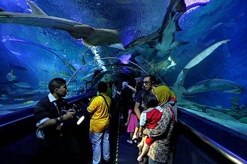
Phalinn Ooi from Kuala Lumpur, Malaysia / CC BY 2.0
public aquariumAquaria KLCC
oceanarium in Kuala Lumpur
Getting there Nearest stop or station Raja Chulan, about 6 min on foot OpenStreetMap
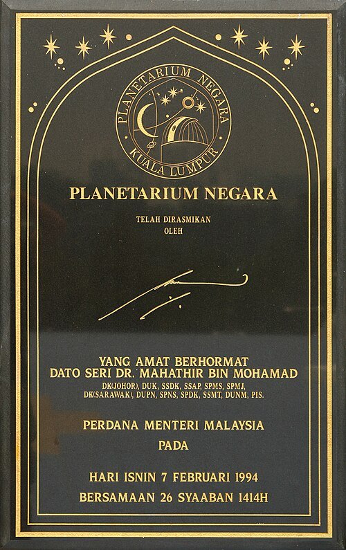
CEphoto, Uwe Aranas / CC BY-SA 3.0
planetariumPlanetarium Negara
planetarium in Kuala Lumpur
Getting there Nearest stop or station National Museum, about 5 min on foot OpenStreetMap
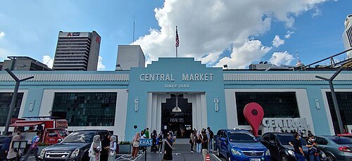 market hall
Central Market
market in Kuala Lumpur
Getting there Nearest stop or station Hab Lebuh Pudu (LP), about 5 min on foot OpenStreetMap
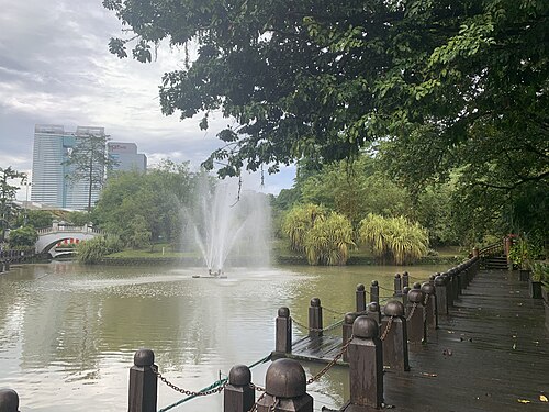 park
Perdana Botanical Gardens
park in Federal Territory of Kuala Lumpur
Getting there Nearest stop or station National Museum, about 11 min on foot OpenStreetMap
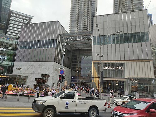 skyscraper
Pavilion Kuala Lumpur
shopping centre in the Bukit Bintang district of Kuala Lumpur
Getting there Nearest stop or station Bukit Bintang, about 5 min on foot OpenStreetMap
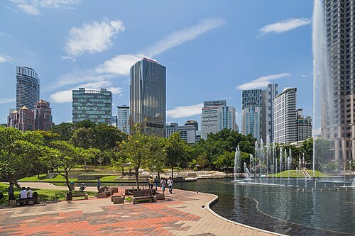 urban park
KLCC Park
Urban park in Kuala Lumpur City Centre
Getting there Nearest stop or station Persiaran KLCC, about 6 min on foot OpenStreetMap
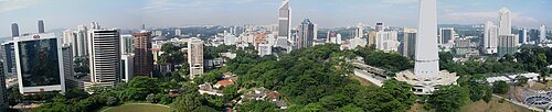 protected area
Bukit Nanas
natural landmark & district in Federal Territory of Kuala Lumpur
Getting there Nearest stop or station Dang Wangi, about 7 min on foot OpenStreetMap
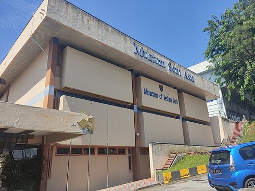 art museum
Museum of Asian Art
art museum of University of Malaya, Kuala Lumpur, Malaysia
Getting there Nearest stop or station Universiti, about 16 min on foot OpenStreetMap
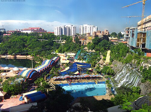
Img by Calvin Teo / CC BY-SA 3.0
theme parkSunway Lagoon
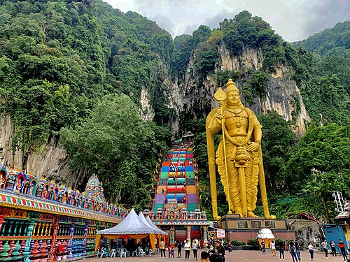 architectural landmark
Batu Caves
limestone hill that has a series of caves and cave temples in Gombak, Selangor, Malaysia
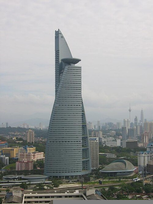
The original uploader was See Hoy Kim at English Wikipedia. / CC BY-SA 3.0
skyscraperTelekom Tower
skyscraper
Getting there Nearest stop or station Kerinchi, about 4 min on foot OpenStreetMap
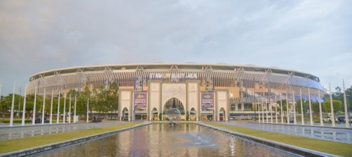
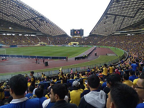 association football venue
Shah Alam Stadium
multi-purpose stadium in Shah Alam, Malaysia
Getting there Nearest stop or station Stadium Shah Alam, about 8 min on foot OpenStreetMap
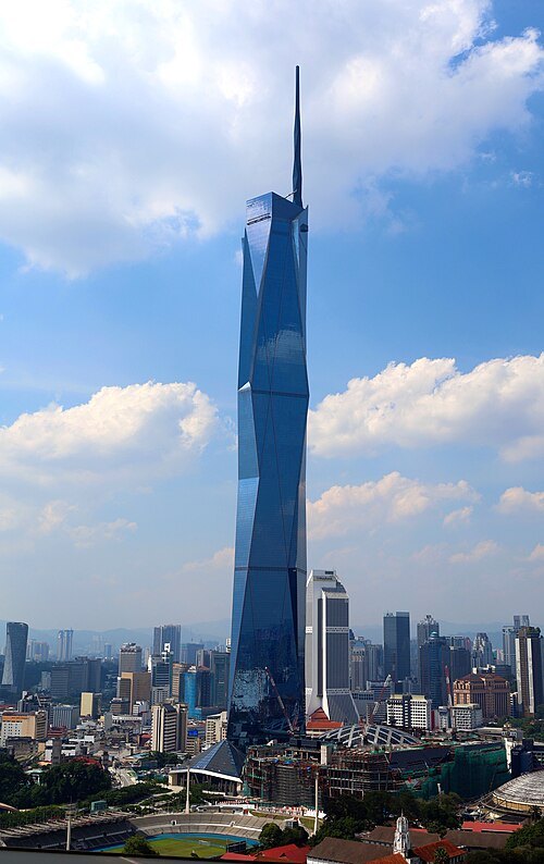
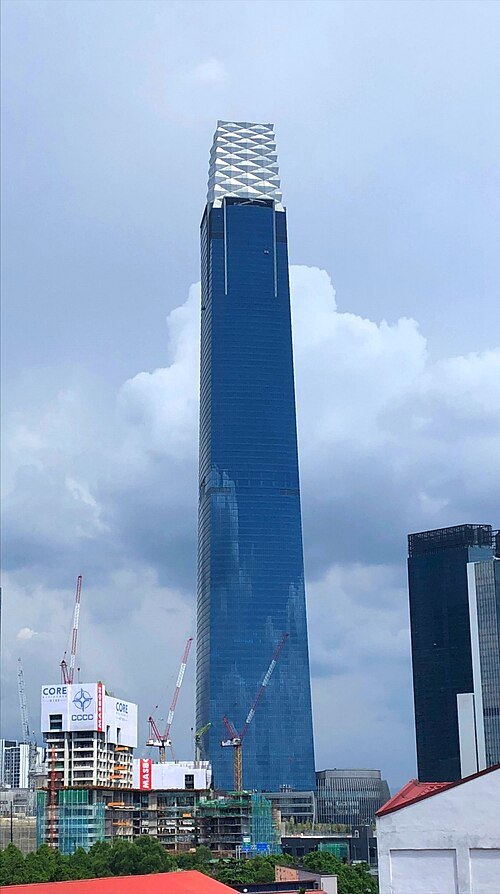 skyscraper
The Exchange 106
Supertall skyscraper in Kuala Lumpur, Malaysia
Getting there Nearest stop or station Tun Razak Exchange, about 3 min on foot OpenStreetMap
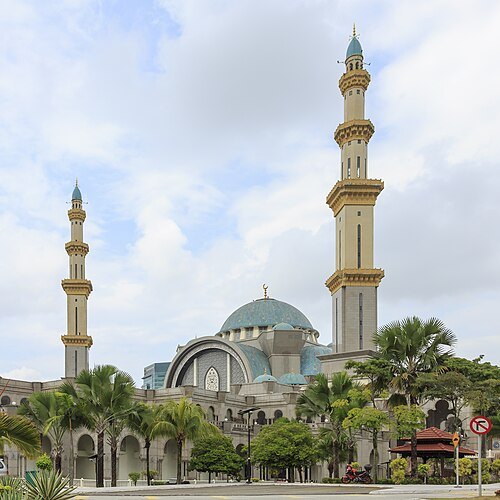
CEphoto, Uwe Aranas / CC BY-SA 3.0
mosqueFederal Territory Mosque
mosque in Kuala Lumpur, Malaysia
Getting there Nearest stop or station Hentian Duta, about 5 min on foot OpenStreetMap
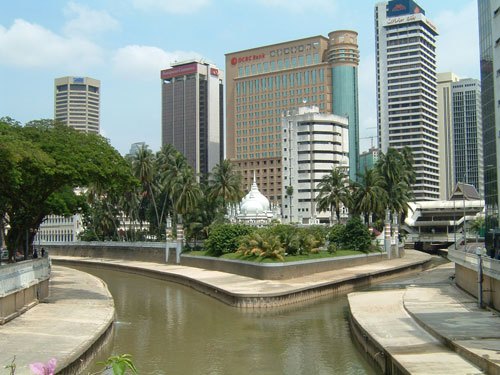
The original uploader was Earth at English Wikipedia. / CC BY 2.5
riverGombak River
river in Malaysia
Getting there Nearest stop or station Masjid Jamek, about 3 min on foot OpenStreetMap
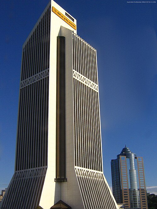
Img by Calvin Teo / CC BY-SA 3.0
skyscraperTun Perak Tower
skyscraper in Kuala Lumpur, Malaysia
Getting there Nearest stop or station Hab Lebuh Pudu (TP), about 2 min on foot OpenStreetMap
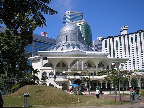
User:Two hundred percent / CC BY-SA 3.0
mosqueAs Syakirin Mosque
mosque in Malaysia
Getting there Nearest stop or station Persiaran KLCC, about 3 min on foot OpenStreetMap
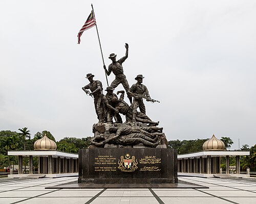
CEphoto, Uwe Aranas / CC BY-SA 3.0
monumentNational Monument
monument in Malaysia
Getting there Nearest stop or station Bank Negara, about 18 min on foot OpenStreetMap
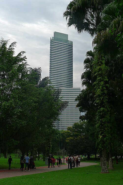 skyscraper
Petronas Tower 3
Skyscraper in Kuala Lumpur, Malaysia
Getting there Nearest stop or station KLCC, about 6 min on foot OpenStreetMap
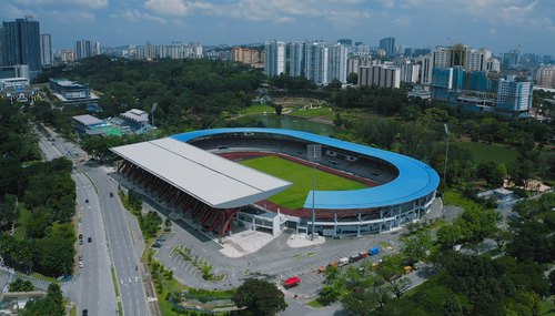 stadium
KLFA Stadium
stadium in Malaysia
Getting there Nearest stop or station Taman Midah, about 20 min on foot OpenStreetMap
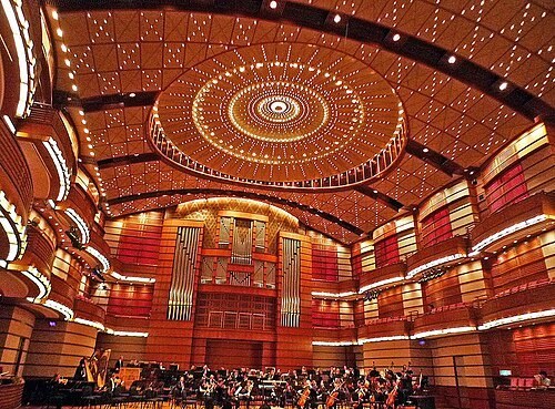 concert hall
Petronas Philharmonic Hall
Concert hall in KLCC, Kuala Lumpur, Malaysia
Getting there Nearest stop or station KLCC, about 4 min on foot OpenStreetMap
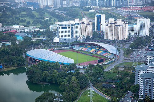 stadium
Petaling Jaya Stadium
stadium in Malaysia
Getting there Nearest stop or station Glenmarie, about 8 min on foot OpenStreetMap
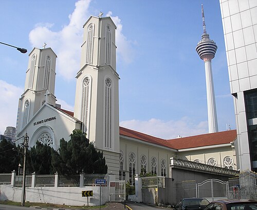
User:Two hundred percent. / CC BY-SA 3.0
cathedralSt. John's Cathedral
cathedral near Kuala Lumpur, Malaysia
Getting there Nearest stop or station Masjid Jamek, about 5 min on foot OpenStreetMap
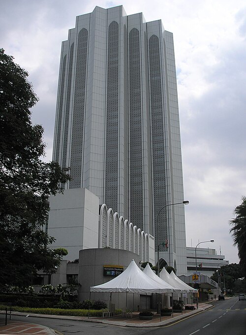
User:Two hundred percent. / CC BY-SA 3.0
skyscraperDayabumi Complex
skyscraper in Kuala Lumpur
Getting there Nearest stop or station Pasar Seni, about 5 min on foot OpenStreetMap
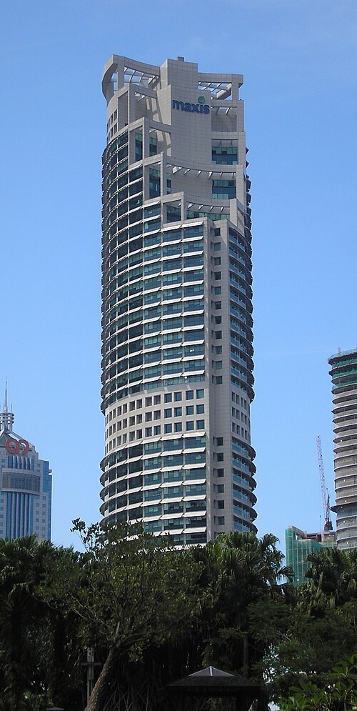
User:Two hundred percent. / CC BY-SA 3.0
skyscraperMaxis Tower
commercial offices in Kuala Lumpur, Malaysia
Getting there Nearest stop or station KLCC, about 2 min on foot OpenStreetMap
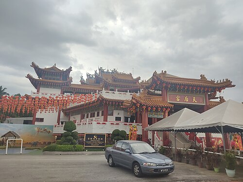 temple
Thean Hou Temple
Chinese temple in Kuala Lumpur
Getting there Nearest stop or station Mid Valley, about 16 min on foot OpenStreetMap
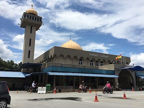 mosque
Al-Amaniah Mosque
mosque in Selangor, Malaysia
Getting there Nearest stop or station Batu Caves, about 12 min on foot OpenStreetMap
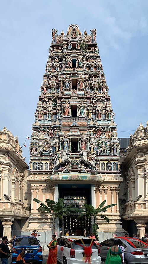 hindu temple
Sri Mahamariamman Temple
Hindu temple in Kuala Lumpur
Getting there Nearest stop or station Pasar Seni, about 2 min on foot OpenStreetMap
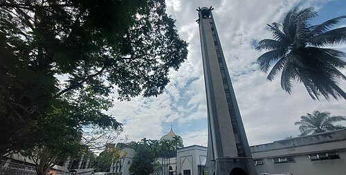 mosque
Al-Rahman Kuala Lumpur Mosque
mosque in Malaysia
Getting there Nearest stop or station Universiti, about 7 min on foot OpenStreetMap
- mosque
Saidina Abu Bakar As Siddiq Mosque
mosque in Malaysia
Getting there Nearest stop or station Bangsar, about 13 min on foot OpenStreetMap
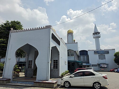 mosque
Al Akram Mosque
mosque in Malaysia
Getting there Nearest stop or station Dato' Keramat, about 5 min on foot OpenStreetMap
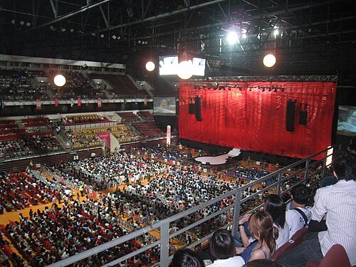 sports venue
Axiata Arena
sports arena in Kuala Lumpur, Malaysia
Getting there Nearest stop or station Bukit Jalil, about 8 min on foot OpenStreetMap
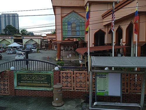 mosque
Abdul Rahman Auf Mosque
mosque in Malaysia
Getting there Nearest stop or station Petaling, about 12 min on foot OpenStreetMap
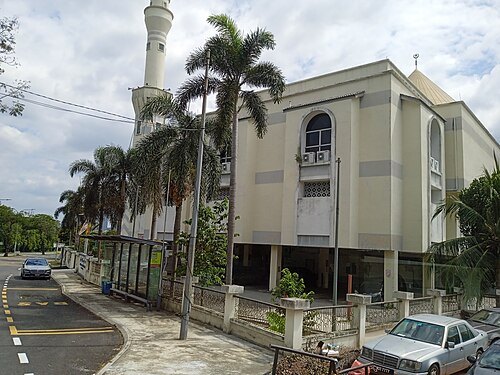 mosque
Sultan Abdul Aziz Shah Jamek Mosque
mosque in Petaling, Selangor, Malaysia
Getting there Nearest stop or station Terminal Bas Jalan Othman, about 8 min on foot OpenStreetMap
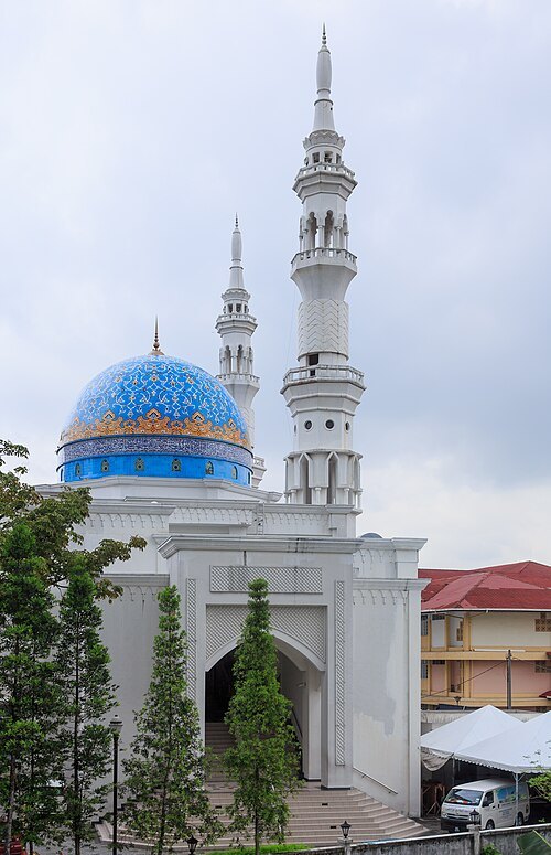
CEphoto, Uwe Aranas / CC BY-SA 3.0
mosqueAl-Bukhary Mosque
mosque in Kuala Lumpur, Malaysia
Getting there Nearest stop or station Hang Tuah, about 3 min on foot OpenStreetMap
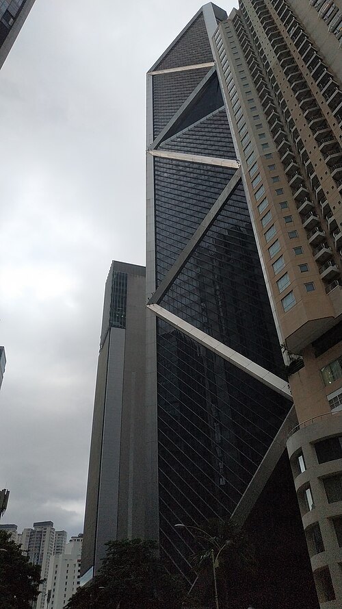 skyscraper
Ilham Tower
Skyscraper in Kuala Lumpur, Malaysia
Getting there Nearest stop or station Ampang Park, about 2 min on foot OpenStreetMap
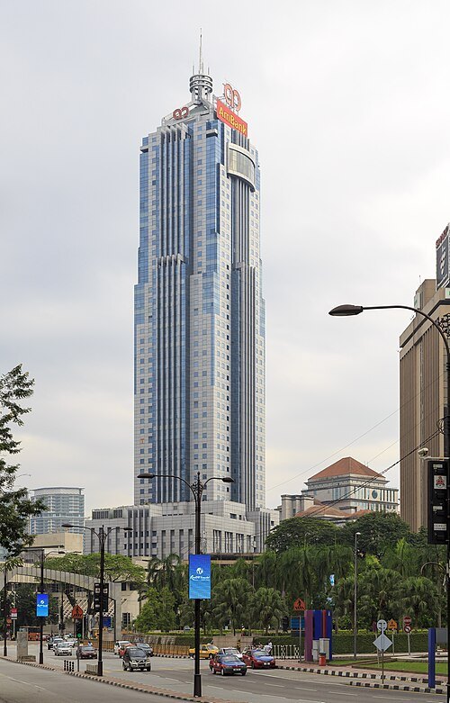
CEphoto, Uwe Aranas / CC BY-SA 3.0
office towerAmBank Tower
skyscraper in Kuala Lumpur, Malaysia
Getting there Nearest stop or station KLCC, about 6 min on foot OpenStreetMap
- mosque
Al Taqwa Mosque
mosque in Malaysia
Getting there Nearest stop or station Taman Tun Dr Ismail, about 18 min on foot OpenStreetMap
- mosque
Imam Al Ghazali Mosque
Mosque in Kuala Lumpur, Malaysia
Getting there Nearest stop or station Sri Damansara Sentral, about 13 min on foot OpenStreetMap
- mosque
Darul Ehsan Mosque
mosque in Subang Jaya, Selangor, Malaysia
Getting there Nearest stop or station Subang Jaya, about 7 min on foot OpenStreetMap
- mosque
Tun Abdul Aziz Mosque
Mosque in Petaling Jaya, Selangor, Malaysia
Getting there Nearest stop or station Asia Jaya, about 14 min on foot OpenStreetMap
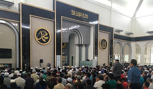
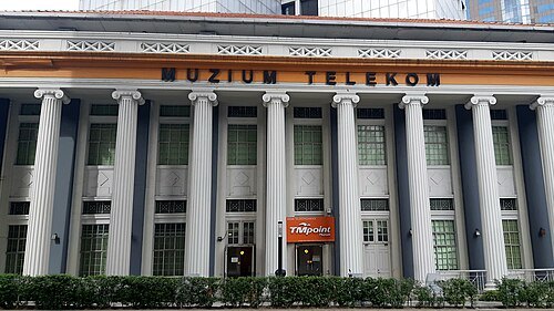 telecommunications museum
Telekom Museum
telecommunications museum in Kuala Lumpur, Malaysia
Getting there Nearest stop or station Hab Lebuh Pudu (LP), about 4 min on foot OpenStreetMap
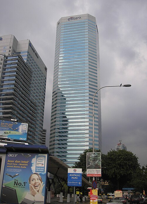
User:Two hundred percent. / CC BY-SA 3.0
skyscraperMenara Citibank
building in Kuala Lumpur
Getting there Nearest stop or station Ampang Park, about 3 min on foot OpenStreetMap
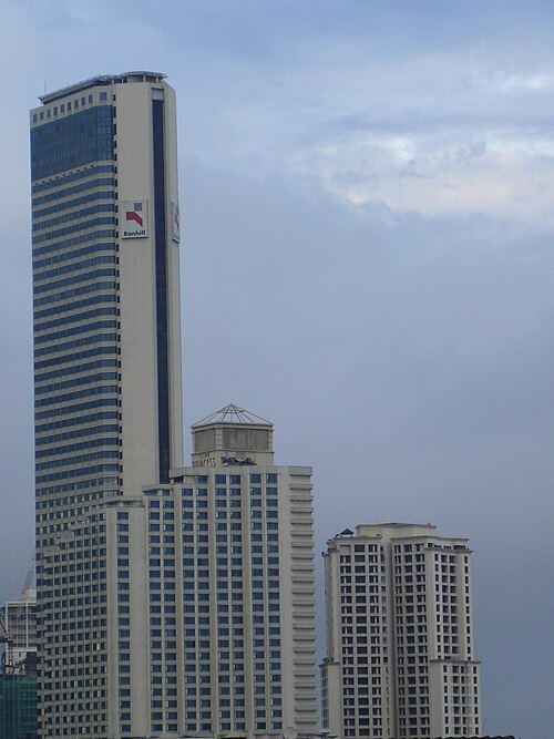 skyscraper
Vista Tower
skyscraper in Kuala Lumpur
Getting there Nearest stop or station Ampang Park, about 4 min on foot OpenStreetMap
- mosque
Saidina Uthman Bin Affan Mosque
mosque in Bandar Tun Razak, Kuala Lumpur, Malaysia
Getting there Nearest stop or station Bandar Tun Razak, about 10 min on foot OpenStreetMap
- butterfly house
Kuala Lumpur Butterfly Park
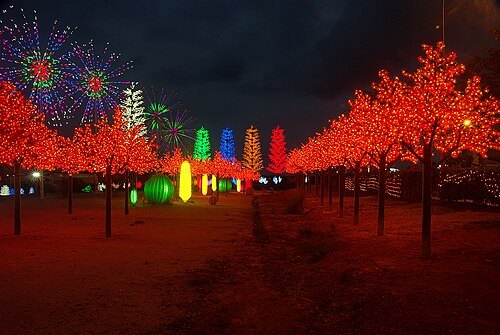 amusement park
i-City


Places to eat
- restaurant
Hội An
Food: vietnamese
- restaurant
Jaya
Food: indian
- restaurant
Manja Old Malaya
Food: international
- restaurant
Orchid
Food: middle eastern
- restaurant
Original Penang Kayu Nasi Kandar
Food: indian
- restaurant
Punjabi Rasoi
Food: indian
- restaurant
Restoran Han Kee
Food: chinese
- restaurant
Restoran Rebung Chef Ismail
Food: malay
- restaurant
Soong Kee Beef Noodle Lao You Ji Porridge
Food: noodle, chinese
- restaurant
Sri Nirwana Maju
Food: indian
- restaurant
ABC Bistro Cafe
Food: indian
- restaurant
Bala's Banana Leaf
Food: malaysian
- restaurant
Barbeque Nation Select
Food: barbecue, korean
Nothing here matches that. Clear a filter and try again.
Opening hours and tickets: OpenStreetMap contributors. Each one shows the day a volunteer last wrote it down, so check the official site before you set out.