Wasserbillig: what to see and where to eat
Everything below comes from open data and each row says where it came from. We have not been to any of these places and we do not rank them.
Filters
Things to see
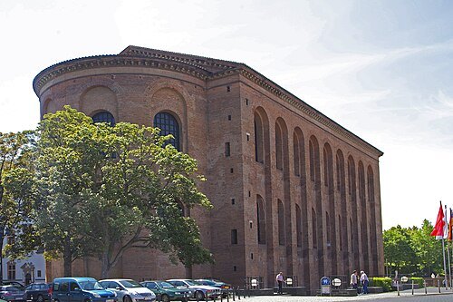 church building
Aula Palatina
ecclesiastical building in Trier, Germany
Getting there Nearest stop or station Trier Hbf, about 12 min on foot OpenStreetMap
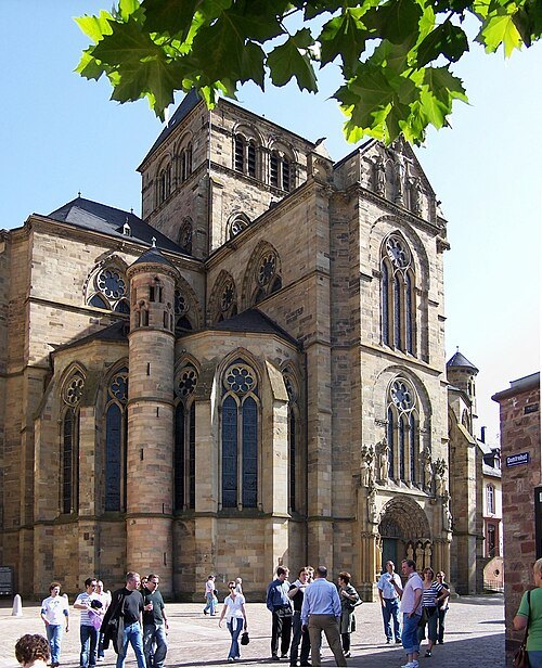
Berthold Werner / Public domain
parish churchLiebfrauenkirche
Parish church in Trier, Germany
Getting there Nearest stop or station Trier Hbf, about 10 min on foot OpenStreetMap
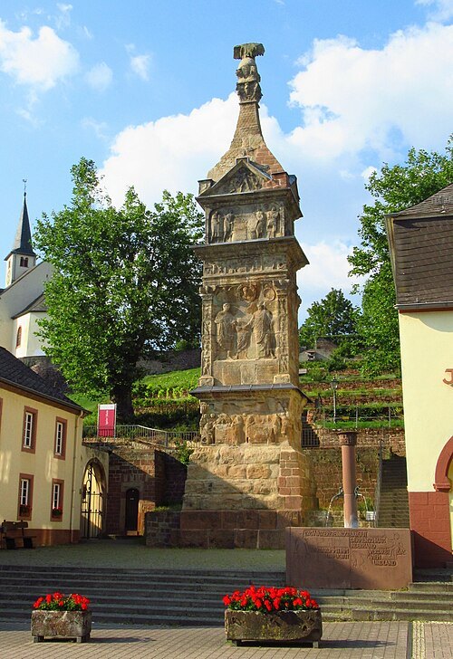
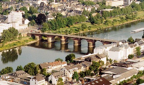 ancient roman structure
Roman Bridge
ancient structure in Trier, Germany
Getting there Nearest stop or station Trier West, about 3 min on foot OpenStreetMap
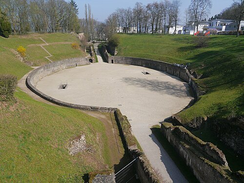 ancient roman structure
Roman amphitheatre of Trier
roman amphitheatre in Trier, Germany
Getting there Nearest stop or station Trier Süd, about 15 min on foot OpenStreetMap
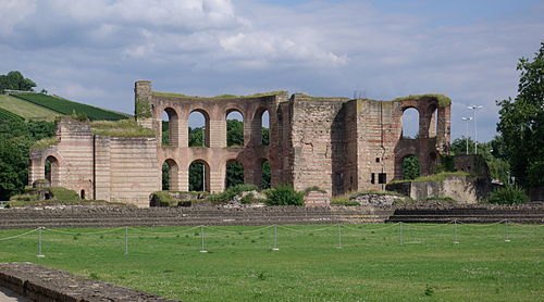
Berthold Werner / Public domain
archaeological siteTrier Imperial Baths
UNESCO World Heritage Site in Rhineland-Palatinate, Germany
Getting there Nearest stop or station Trier Süd, about 11 min on foot OpenStreetMap
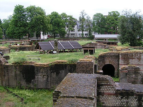 ancient roman structure
Barbara Baths
Roman baths in Trier, Germany
Getting there Nearest stop or station Trier West, about 8 min on foot OpenStreetMap
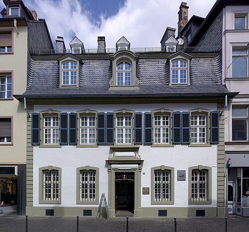
Berthold Werner / CC BY-SA 3.0
museumKarl-Marx-House museum
museum in Trier
Getting there Nearest stop or station Trier West, about 14 min on foot OpenStreetMap
D. Witter-Rieder / CC BY-SA 3.0
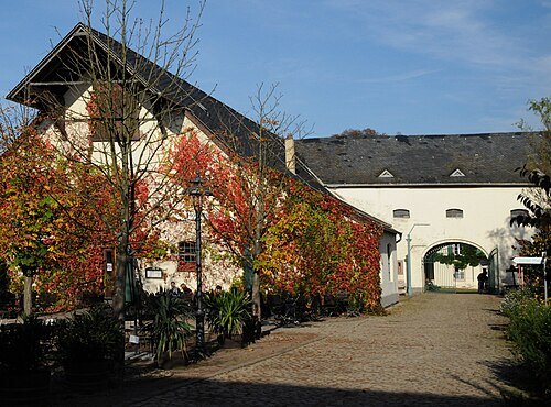
open-air museumRoscheider Hof Open Air Museum
open air- and folklore fuseum of the Greater SaarLorLux Region in Germany
Getting there Nearest stop or station Karthaus, about 10 min on foot OpenStreetMap
Berthold Werner / CC BY-SA 3.0
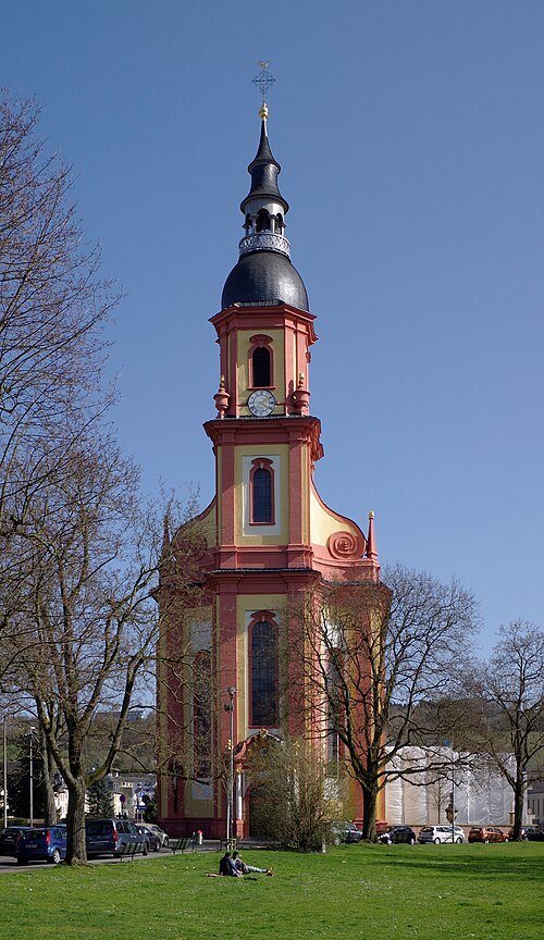
parish churchSaint Paulin Church
parish church
Getting there Nearest stop or station Trier, Hauptbahnhof, about 8 min on foot OpenStreetMap
Berthold Werner / Public domain
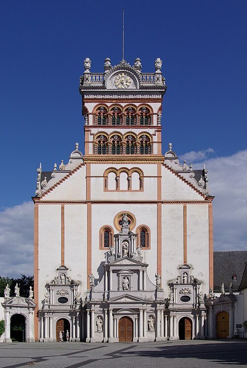
parish churchSt. Matthias' Abbey
benedictine monastery in Trier, Germany
Getting there Nearest stop or station Trier Süd, about 12 min on foot OpenStreetMap
Berthold Werner / Public domain
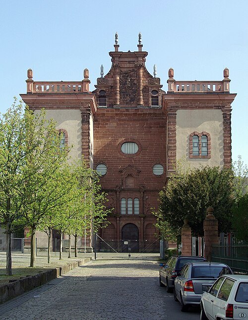
benedictine abbeySt. Maximin's Abbey
former Benedictine monastery in Trier, Germany
Getting there Nearest stop or station Trier, Hauptbahnhof, about 3 min on foot OpenStreetMap
- château
Electoral Palace
Palace in Trier, Germany
Getting there Nearest stop or station Trier Hbf, about 12 min on foot OpenStreetMap
Berthold Werner / Public domain
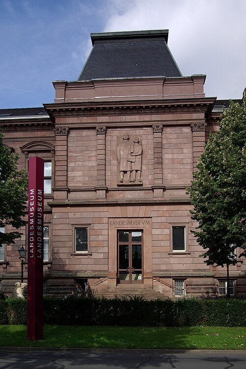
museumRheinisches Landesmuseum Trier
German archaeological museum
Getting there Nearest stop or station Trier Hbf, about 12 min on foot OpenStreetMap
 parish church
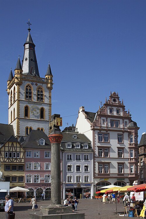
St. Gangolf's church
church building in Trier, Germany
Getting there Nearest stop or station Trier Hbf, about 13 min on foot OpenStreetMap
 church building
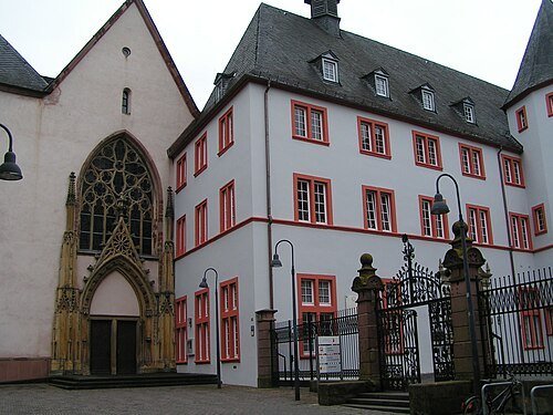
Jesuitenkirche
church building in Trier, Germany
Getting there Nearest stop or station Trier Hbf, about 15 min on foot OpenStreetMap
Berthold Werner / CC BY-SA 3.0
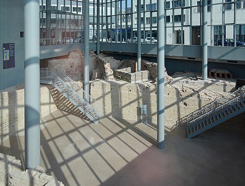
ancient roman structureForum baths
Roman baths in Trier, Germany
Getting there Nearest stop or station Trier Süd, about 14 min on foot OpenStreetMap
- monument
Karl Marx statue in Trier
statue in Trier, Germany
Getting there Nearest stop or station Trier, Hauptbahnhof, about 12 min on foot OpenStreetMap
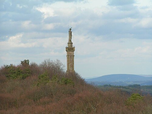
Stefan Kühn at de.wikipedia / CC BY-SA 3.0
monumentMariensäule
monument in Trier, Germany
Getting there Nearest stop or station Trier-Pallien, about 13 min on foot OpenStreetMap
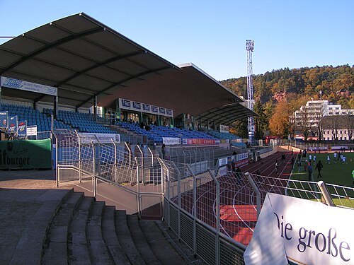 association football venue
Moselstadion
football stadium
Getting there Nearest stop or station Trier, Hauptbahnhof, about 19 min on foot OpenStreetMap
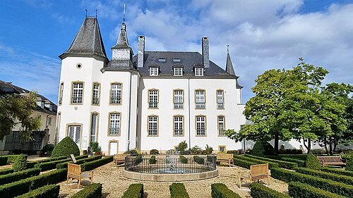 château
Munsbach Castle
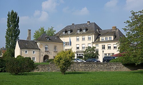 château
Stadtbredimus Castle
building in Stadbredimus, Luxembourg
Getting there Nearest stop or station Palzem, about 4 min on foot OpenStreetMap
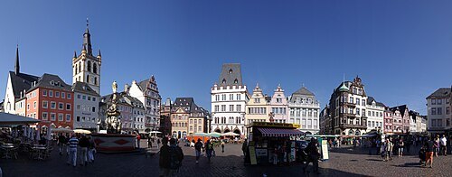
Berthold Werner / CC BY-SA 3.0
squareHauptmarkt
public square in Trier, Germany
Getting there Nearest stop or station Trier Hbf, about 12 min on foot OpenStreetMap
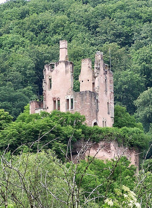
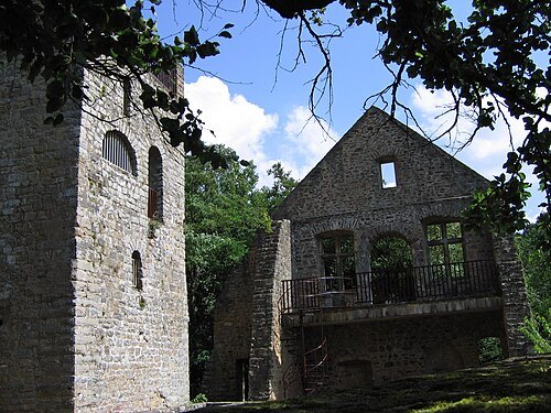 castle ruin
Prümerburg
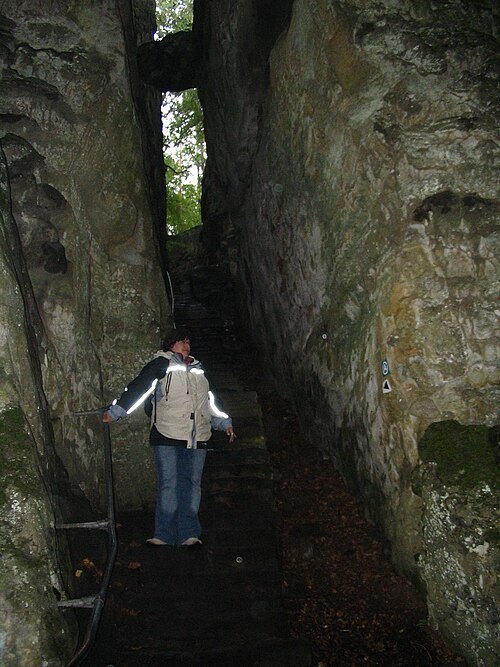
- butterfly house
Butterfly Garden, Grevenmacher
zoo in Grevenmacher, Luxembourg
Getting there Nearest stop or station Wellen (Mosel), about 15 min on foot OpenStreetMap
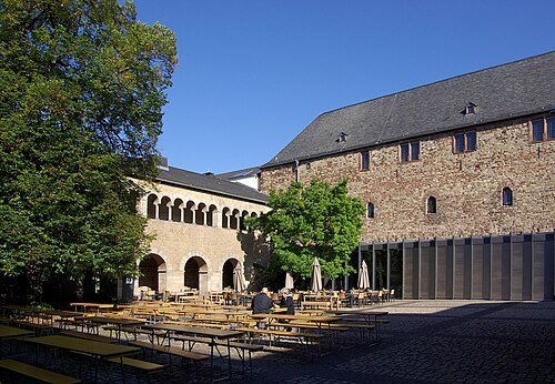
Berthold Werner / CC BY-SA 3.0
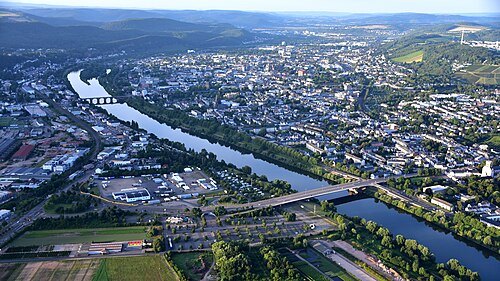
monasterySimeonstift of Trier
Museum in Trier
Getting there Nearest stop or station Trier, Hauptbahnhof, about 11 min on foot OpenStreetMap
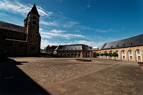 abbey
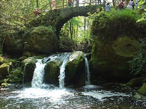
Abbey of Echternach
monastery
Getting there Nearest stop or station Echternach, Gare Centre, about 8 min on foot OpenStreetMap
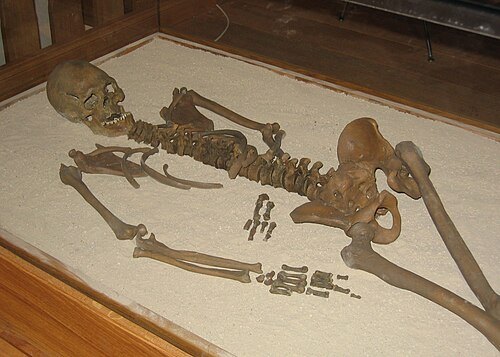
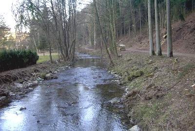
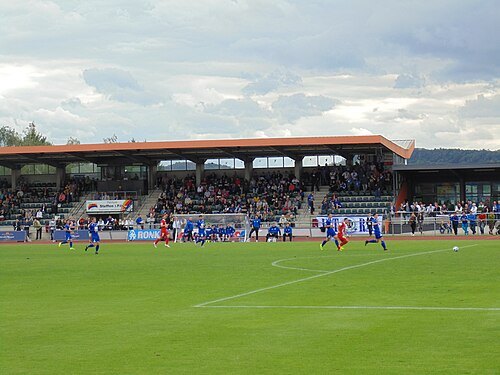 association football venue
Op Flohr Stadion
Luxembourg Stadium
Getting there Nearest stop or station Temmels, about 16 min on foot OpenStreetMap
- château
Betzdorf Castle
former castle in the commune of Betzdorf, in eastern Luxembourg; office building
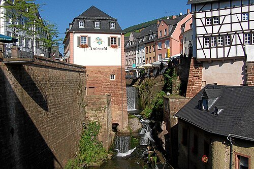
- hill
Widdebierg
mountain in Luxembourg
Getting there Nearest stop or station Roodt, about 15 min on foot OpenStreetMap
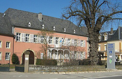
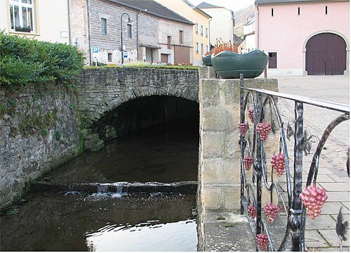
Johnny Chicago at lb.wikipedia / CC BY-SA 3.0
riverDonwerbaach
river in Luxembourg
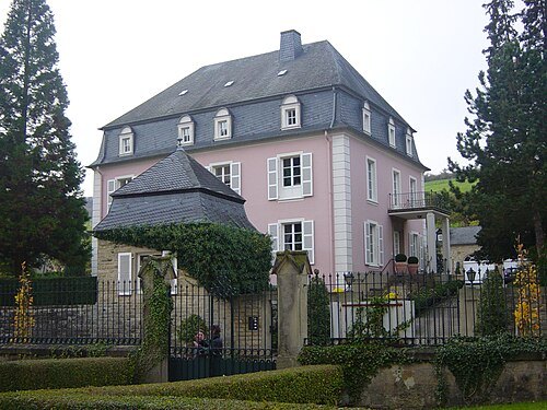
Ipigott at English Wikipedia / Public domain
châteauBorn Castle
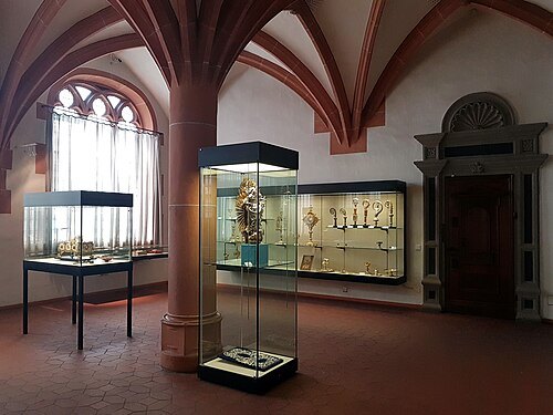 museum
treasury of the Cathedral of Trier
museum of christian art, museum of medieval art in Cathedral of Trier, Mustorstraße
Getting there Nearest stop or station Trier Hbf, about 9 min on foot OpenStreetMap
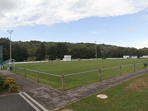
- river
Aalbach
river in France
Getting there Nearest stop or station Wincheringen, about 3 min on foot OpenStreetMap
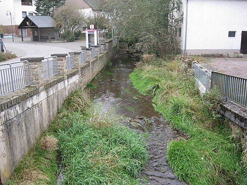
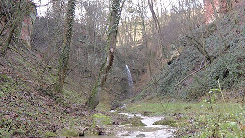
No machine-readable author provided. HelgeRieder assumed (based on copyright claims). / CC BY-SA 4.0
riverGillenbach
river in Rhineland-Palatinate, Germany
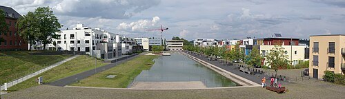
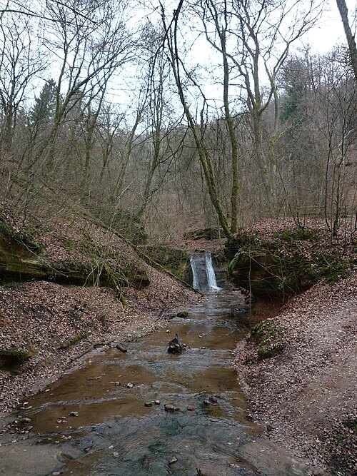 river
Sirzenicher Bach
river in Germany
Getting there Nearest stop or station Trier-Pallien, about 5 min on foot OpenStreetMap
Berthold Werner / CC BY-SA 3.0
hillPetrisberg
mountain in Germany
Getting there Nearest stop or station Trier Hbf, about 15 min on foot OpenStreetMap
- scenic viewpoint
Pfaffenthal Panoramic Elevator
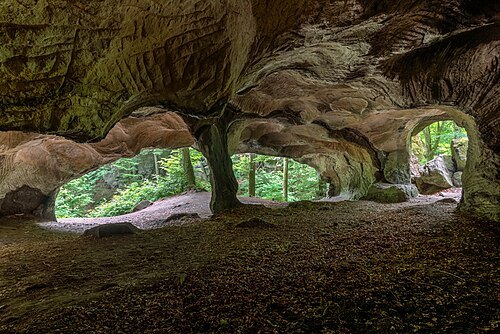
- public aquarium
Wasserbillig Aquarium


Places to eat
Nothing here matches that. Clear a filter and try again.
Opening hours and tickets: OpenStreetMap contributors. Each one shows the day a volunteer last wrote it down, so check the official site before you set out.