Ettelbruck: what to see and where to eat
Everything below comes from open data and each row says where it came from. We have not been to any of these places and we do not rank them.
Filters
Things to see
- castle
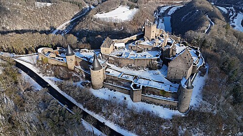
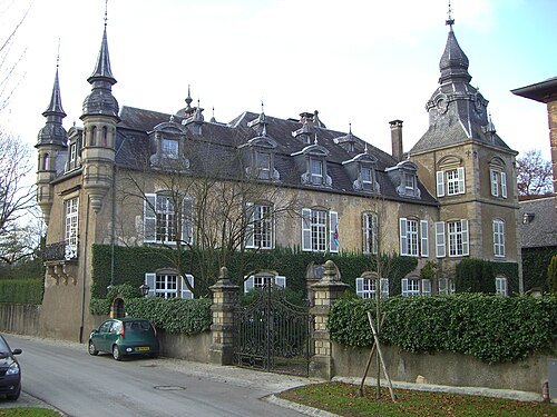
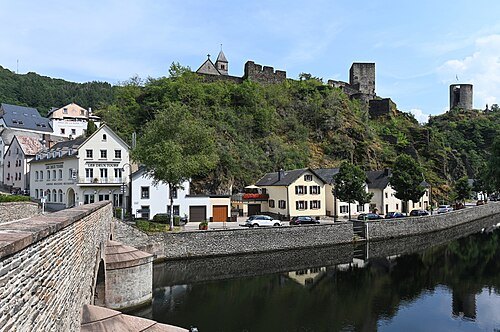
Vianden Castle
castle in Luxembourg
Getting there Nearest stop or station Gare aval du télésiège de Vianden, about 5 min on foot OpenStreetMap
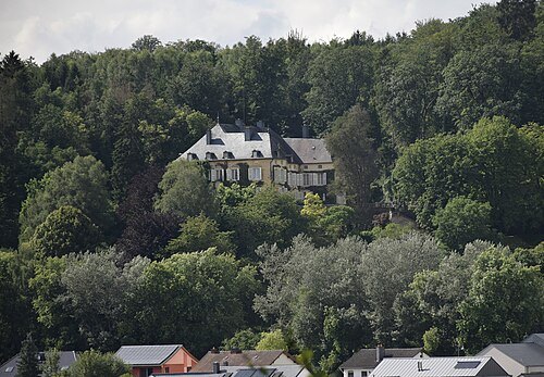
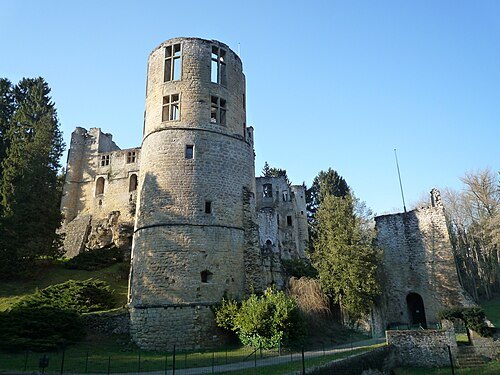
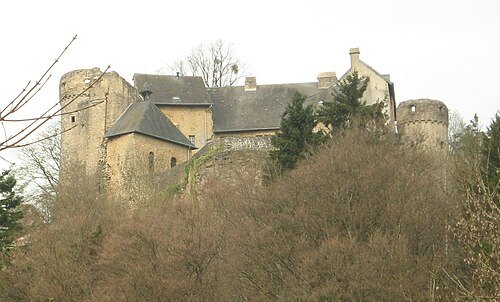
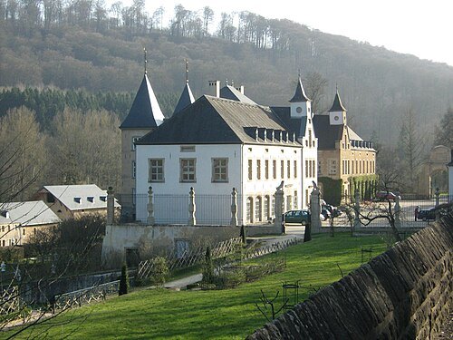
 national museum
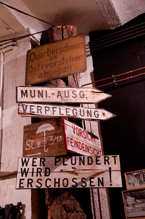
National Museum of Military History
military museum in Diekirch, Luxembourg
Getting there Nearest stop or station Diekirch, about 12 min on foot OpenStreetMap
 castle
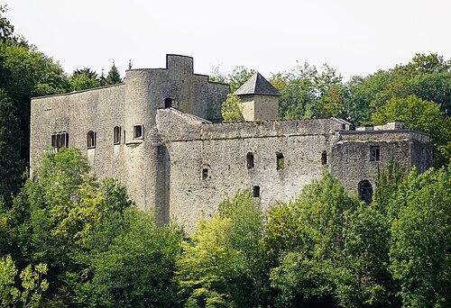
Septfontaines Castle
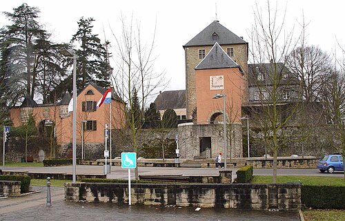
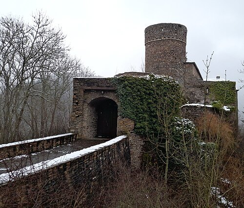
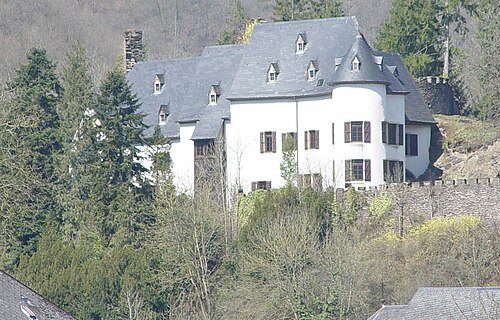
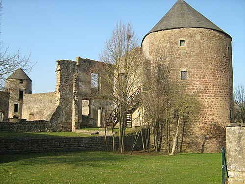 ruins
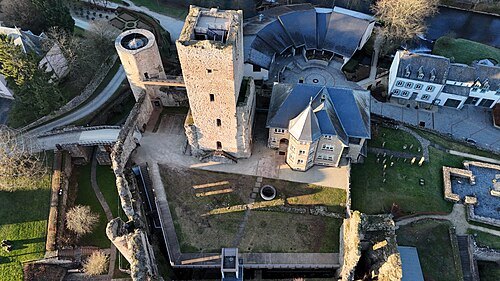
Pettingen Castle
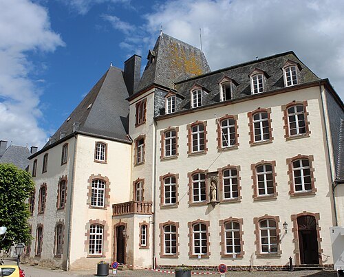
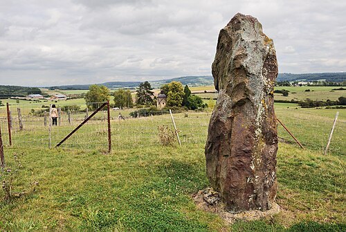
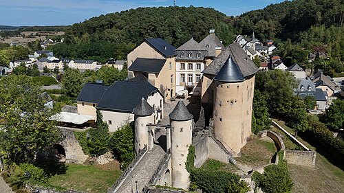
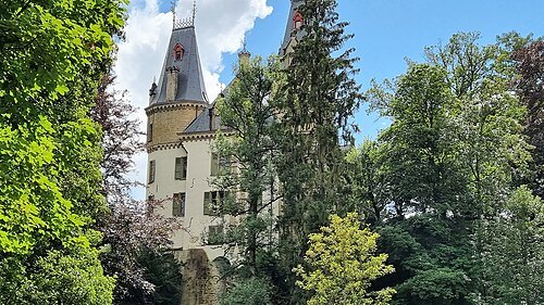 château
Meysembourg Castle
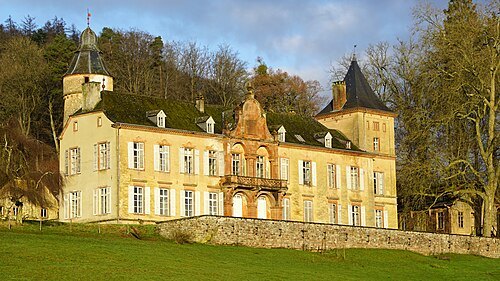 château
Birtrange Castle
Castle in Luxembourg
Getting there Nearest stop or station Schieren, about 9 min on foot OpenStreetMap
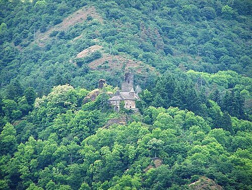 castle
Schloß Falkenstein
castle in Rhineland-Palatinate
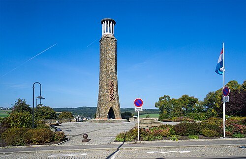 monument
Monument national de la grève
monument in Wiltz, Luxembourg
Getting there Nearest stop or station Wiltz, about 8 min on foot OpenStreetMap
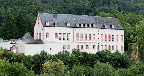 castle
Bollendorf Castle
castle in Germany
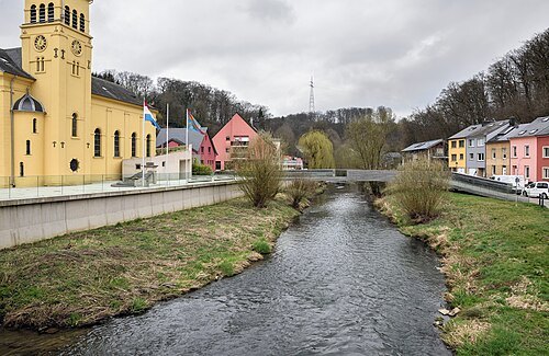
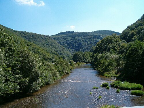
No machine-readable author provided. Tukka assumed (based on copyright claims). / CC BY-SA 3.0
- river
Wiltz
river in Belgium and Luxembourg
Getting there Nearest stop or station Goebelsmühle, about 6 min on foot OpenStreetMap
 château
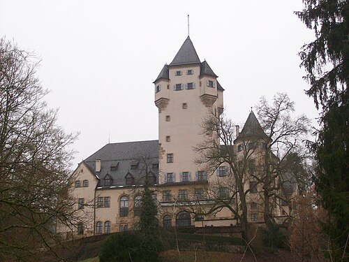
Berg Castle
principal residence of the Grand Duke of Luxembourg
Getting there Nearest stop or station Colmar-Berg, about 16 min on foot OpenStreetMap
- river
Clerve
river in Luxembourg
Getting there Nearest stop or station Kautenbach, about 7 min on foot OpenStreetMap
 mountain range
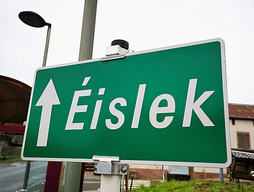
Oesling
region of the Grand Duchy of Luxembourg
Getting there Nearest stop or station Wilwerwiltz, about 20 min on foot OpenStreetMap
- constituency of the european parliament
Luxembourg constituency of the European Parliament
constituency of the European Parliament
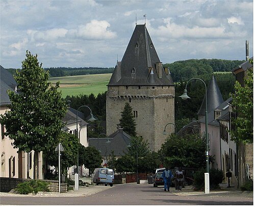
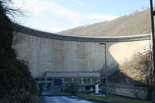
- sports venue
Stade Am Deich
football stadium in Luxembourg
Getting there Nearest stop or station Ettelbruck, about 18 min on foot OpenStreetMap
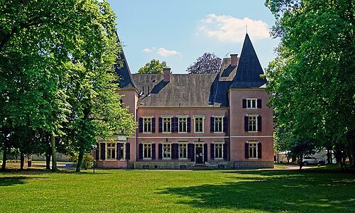
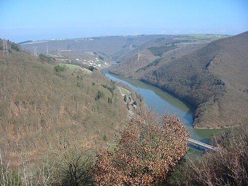
 park
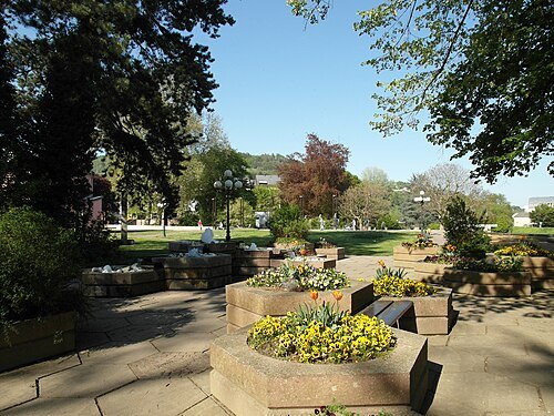
Municipal Park
public urban park in Diekirch
Getting there Nearest stop or station Diekirch, about 5 min on foot OpenStreetMap
 church building
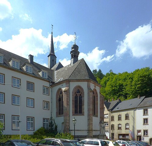
Trinity Church of Vianden
roman catholic church in Vianden, Luxembourg
Getting there Nearest stop or station Gare aval du télésiège de Vianden, about 6 min on foot OpenStreetMap
- scenic viewpoint
Pfaffenthal Panoramic Elevator
- stadium
Stade Géitz
football stadium in Luxembourg
Getting there Nearest stop or station Wiltz, about 2 min on foot OpenStreetMap
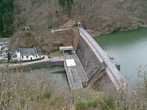 dam
Barrage de Vianden
dam in Luxembourg
Getting there Nearest stop or station Gare aval du télésiège de Vianden, about 8 min on foot OpenStreetMap
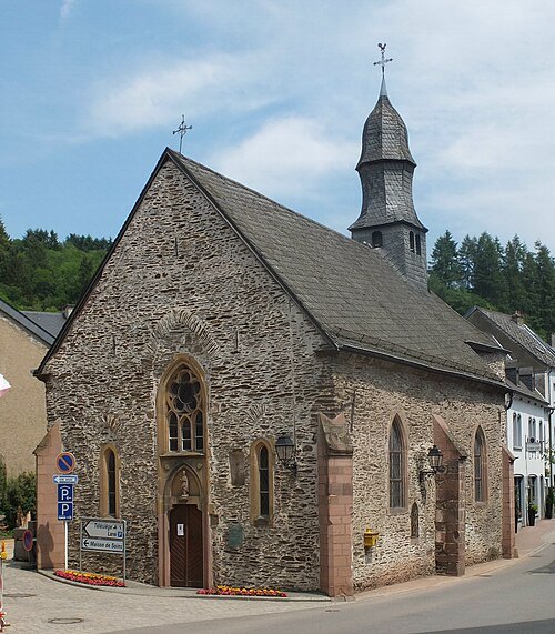 church building
Saint Nicholas Church Vianden
church in Vianden, Luxembourg
Getting there Nearest stop or station Gare aval du télésiège de Vianden, about 4 min on foot OpenStreetMap
- scenic viewpoint
Priedegtstull
- scenic viewpoint
Gringlee
- scenic viewpoint
Reiterlee
- scenic viewpoint
Tempelskamp


Places to eat
- restaurant
Le Nouveau Cygne
Food: chinese
- restaurant
Kim Sushi
Food: sushi
Nothing here matches that. Clear a filter and try again.
Opening hours and tickets: OpenStreetMap contributors. Each one shows the day a volunteer last wrote it down, so check the official site before you set out.