Vilnius: what to see and where to eat
Everything below comes from open data and each row says where it came from. We have not been to any of these places and we do not rank them.
Filters
Things to see
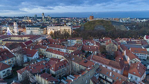
Gytis Grižas https://www.wikidata.org/wiki/Q16452479 / CC BY-SA 4.0
old townVilnius Old Town
UNESCO World Heritage Site in Vilnius, Lithuania
Getting there Nearest stop or station Žaliasis tiltas, about 14 min on foot OpenStreetMap
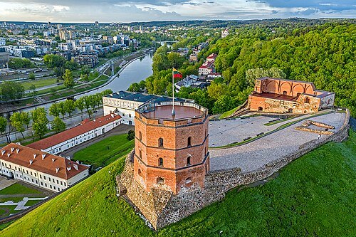 castle
Gediminas' Tower
castle in Vilnius, Lithuania
Getting there Nearest stop or station Žaliasis tiltas, about 14 min on foot OpenStreetMap
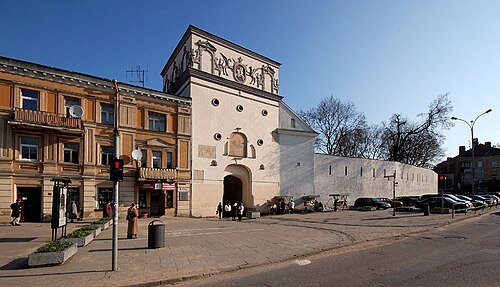
Kontis Šatūnas / Public domain
city gateGate of Dawn
city gate
Getting there Nearest stop or station Vilnius, about 9 min on foot OpenStreetMap
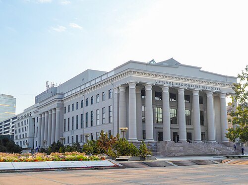
Nacionaline biblioteka / CC BY-SA 4.0
national libraryMartynas Mažvydas National Library of Lithuania
national library
Getting there Nearest stop or station Žaliasis tiltas, about 16 min on foot OpenStreetMap
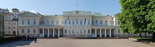 palace
Presidential Palace of Lithuania
building in Vilnius Old Town
Getting there Nearest stop or station Žaliasis tiltas, about 16 min on foot OpenStreetMap
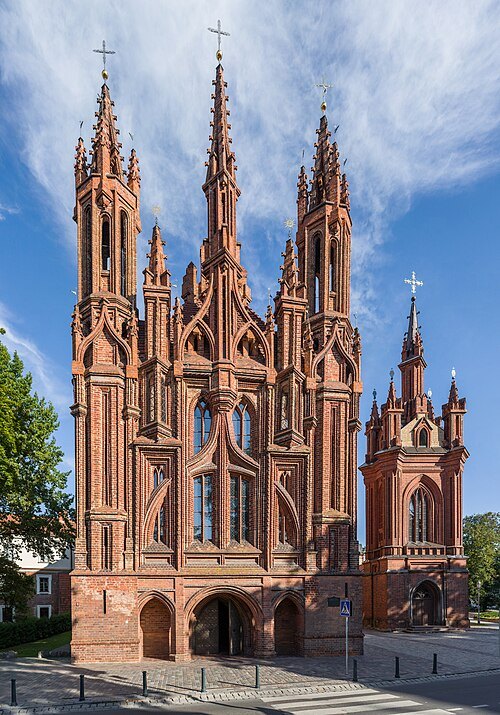 church building
Church of St. Anne, Vilnius
church in Vilnius
Getting there Nearest stop or station Žaliasis tiltas, about 20 min on foot OpenStreetMap
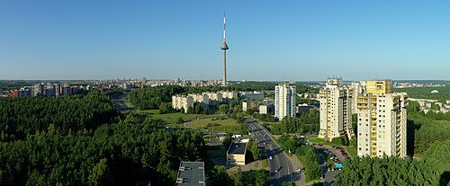
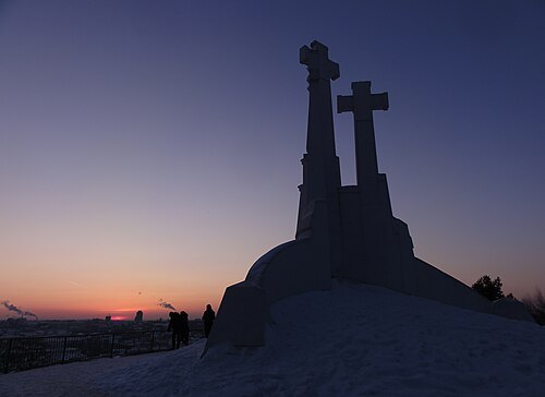
Guillaume Speurt from Vilnius, Lithuania / CC BY-SA 2.0
monumentThree Crosses
monument in Lithuania
Getting there Nearest stop or station Žaliasis tiltas, about 20 min on foot OpenStreetMap
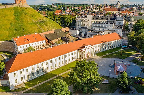
Augustas Didžgalvis / CC BY-SA 4.0
national museumNational Museum of Lithuania
museum in Vilnius, Lithuania
Getting there Nearest stop or station Žaliasis tiltas, about 12 min on foot OpenStreetMap
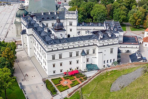
Augustas Didžgalvis / CC BY-SA 4.0
palacePalace of the Grand Dukes of Lithuania
palace in Vilnius, Lithuania
Getting there Nearest stop or station Žaliasis tiltas, about 14 min on foot OpenStreetMap
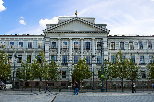 museum
Museum of Occupations and Freedom Fights
museum in Vilnius, Lithuania
Getting there Nearest stop or station Žaliasis tiltas, about 10 min on foot OpenStreetMap
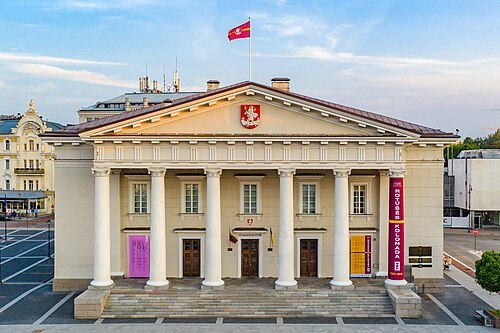
Augustas Didžgalvis / CC BY-SA 4.0
city hallTown Hall, Vilnius
city hall in Vilnius, Lithuania
Getting there Nearest stop or station Vilnius bus station, about 14 min on foot OpenStreetMap
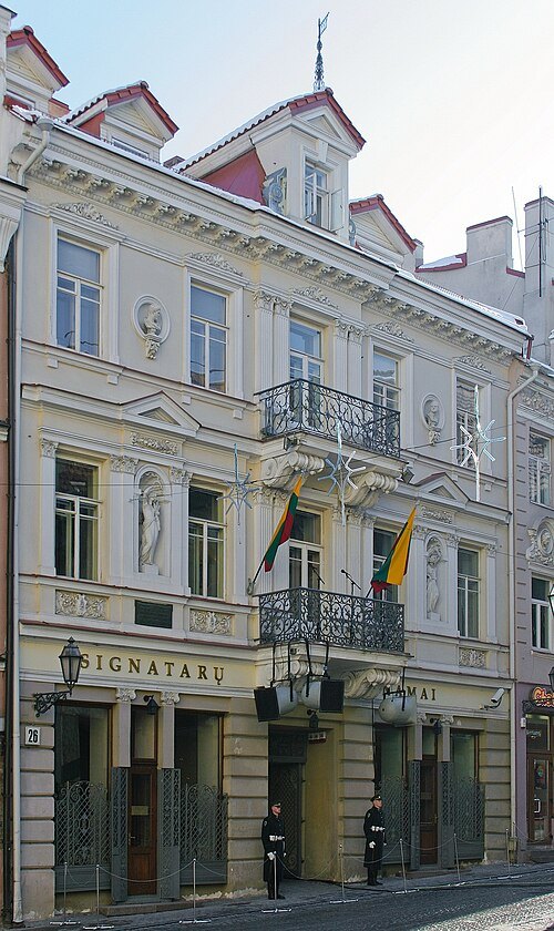 museum
House of the Signatories
memorial museum in Vilnius, Lithuania
Getting there Nearest stop or station Žaliasis tiltas, about 19 min on foot OpenStreetMap
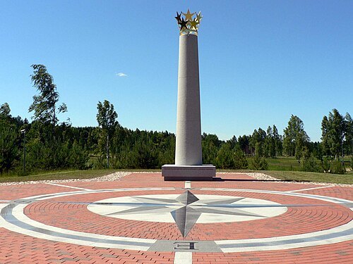
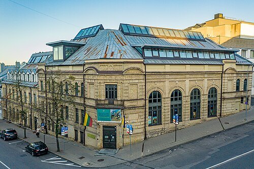
Augustas Didžgalvis / CC BY-SA 4.0
jewish museumVilna Gaon Jewish Museum of Jewish History
museum in Vilnius
Getting there Nearest stop or station Vilnius bus station, about 7 min on foot OpenStreetMap
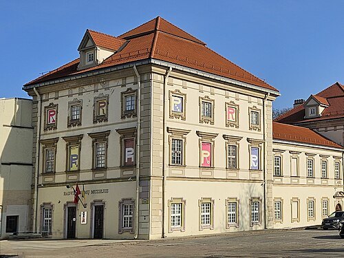 palace
Radvila Palace
Radvila Palace in VIilnius
Getting there Nearest stop or station Žaliasis tiltas, about 13 min on foot OpenStreetMap
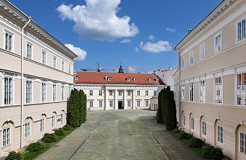
Gintarė Grigėnaite / CC BY-SA 4.0
art museumLithuanian National Museum of Art
museum in Vilnius, Lithuania
Getting there Nearest stop or station Vilnius bus station, about 19 min on foot OpenStreetMap
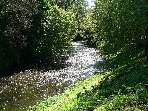 river
Vilnia
river in Lithuania and Belarus
Getting there Nearest stop or station Žaliasis tiltas, about 14 min on foot OpenStreetMap
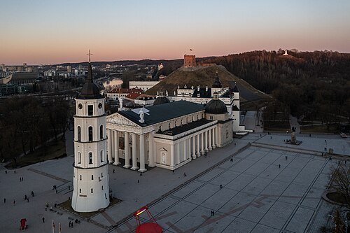
Gytis Grižas https://www.wikidata.org/wiki/Q16452479 / CC BY-SA 4.0
cathedral squareCathedral Square
public square in Vilnius, Lithuania
Getting there Nearest stop or station Žaliasis tiltas, about 13 min on foot OpenStreetMap
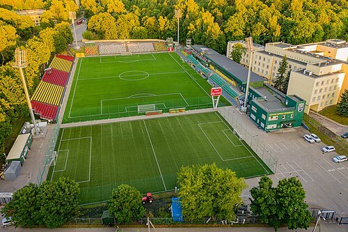
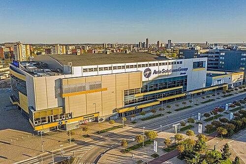
Augustas Didžgalvis / CC BY-SA 4.0
stadiumFK Žalgiris Home Stadium
football stadium in Vilnius, Lithuania
Getting there Nearest stop or station Vilnius, about 10 min on foot OpenStreetMap
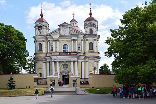 church building
Church of St. Peter and St. Paul, Vilnius
church
Getting there Nearest stop or station Šilo tiltas, about 20 min on foot OpenStreetMap
- skyscraper
Europa Tower
building in Vilnius, tallest skyscraper in the Baltic states
Getting there Nearest stop or station Žaliasis tiltas, about 8 min on foot OpenStreetMap
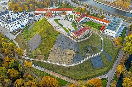 castle
Vilnius Castle Complex
castles in Lithuania
Getting there Nearest stop or station Žaliasis tiltas, about 14 min on foot OpenStreetMap
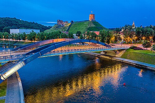 road bridge
Mindaugas Bridge
bridge in Vilnius, Lithuania
Getting there Nearest stop or station Žaliasis tiltas, about 10 min on foot OpenStreetMap
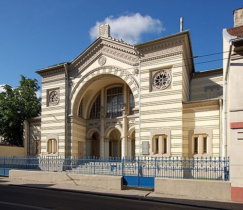
Kontis Šatūnas / Public domain
synagogueChoral Synagogue of Vilnius
synagogue in Vilnius, Lithuania
Getting there Nearest stop or station Vilnius bus station, about 9 min on foot OpenStreetMap
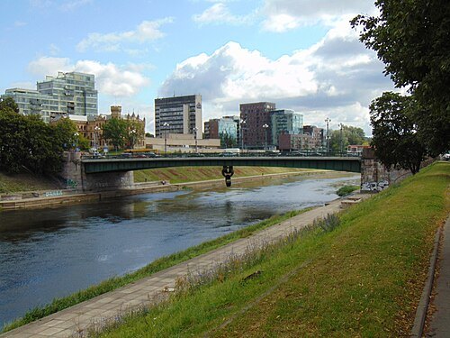 road bridge
Green Bridge
road bridge in Vilnius, Lithuania
Getting there Nearest stop or station Žaliasis tiltas, about 1 min on foot OpenStreetMap
- opera house
Lithuanian National Opera and Ballet Theatre
theatre in Vilnius, Lithuania
Getting there Nearest stop or station Žaliasis tiltas, about 4 min on foot OpenStreetMap
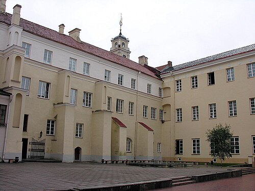
Original uploader was Algirdas at lt.wikipedia / CC BY-SA 3.0
university libraryVilnius University Library
university library in Lithuania
Getting there Nearest stop or station Žaliasis tiltas, about 17 min on foot OpenStreetMap
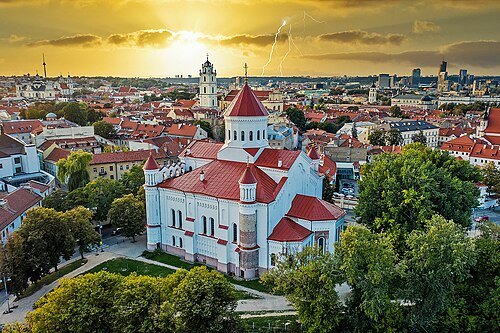 eastern orthodox church building
Cathedral of the Theotokos, Vilnius
eastern Orthodox cathedral in Vilnius, Lithuania
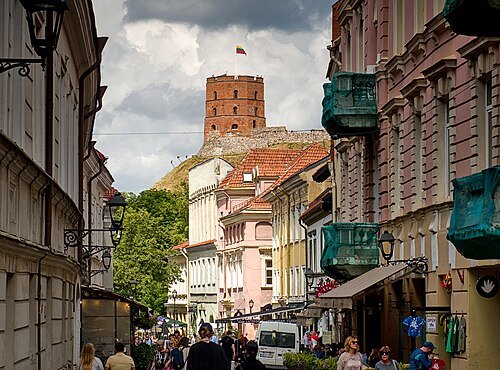
Šarūnas Burdulis / CC BY-SA 2.0
streetPilies Street
street in Vilnius, Lithuania
Getting there Nearest stop or station Žaliasis tiltas, about 15 min on foot OpenStreetMap
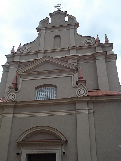 church building
Church of St. Ignatius, Vilnius
church in Vilnius, Lithuania
Getting there Nearest stop or station Žaliasis tiltas, about 15 min on foot OpenStreetMap
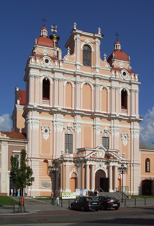
Pudelek (Marcin Szala) / CC BY-SA 3.0
church buildingChurch of St. Casimir, Vilnius
church
Getting there Nearest stop or station Vilnius bus station, about 14 min on foot OpenStreetMap
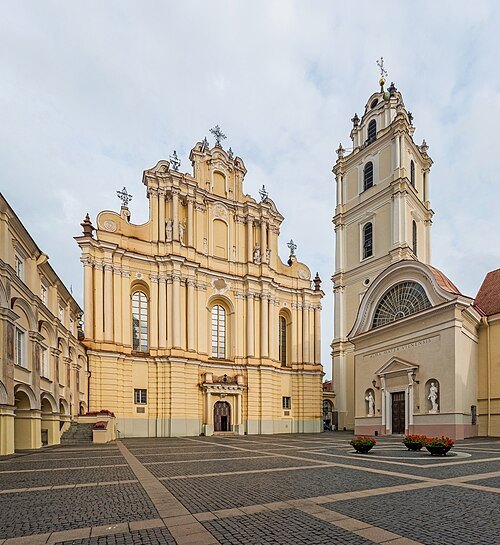 church building
Church of St. Johns, Vilnius
church building in Vilnius, Lithuania
Getting there Nearest stop or station Žaliasis tiltas, about 17 min on foot OpenStreetMap
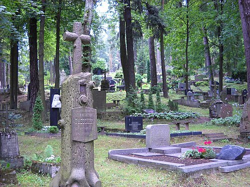 cemetery
Antakalnis Cemetery
cemetery in Vilnius, Lithuania
Getting there Nearest stop or station Šilo tiltas, about 18 min on foot OpenStreetMap
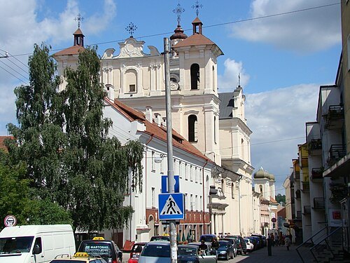 church building
Dominican Church of the Holy Spirit
church in Vilnius
Getting there Nearest stop or station Žaliasis tiltas, about 18 min on foot OpenStreetMap
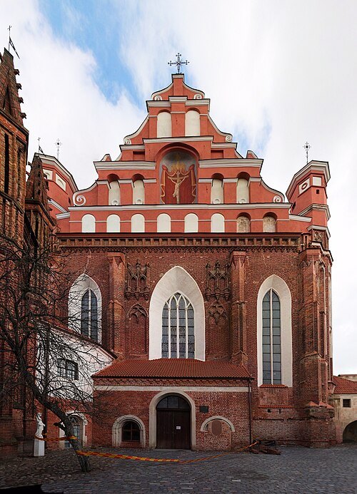
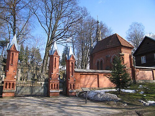 cemetery
Rasos Cemetery
cemetery in Vilnius, Lithuania
Getting there Nearest stop or station Vilnius, about 20 min on foot OpenStreetMap
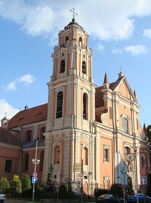 church building
Church of All Saints, Vilnius
church building in Vilnius, Lithuania
Getting there Nearest stop or station Vilnius bus station, about 9 min on foot OpenStreetMap
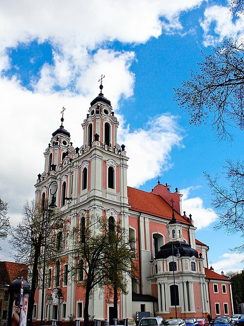 abbey
Church of St. Catherine
church in Vilnius
Getting there Nearest stop or station Žaliasis tiltas, about 16 min on foot OpenStreetMap
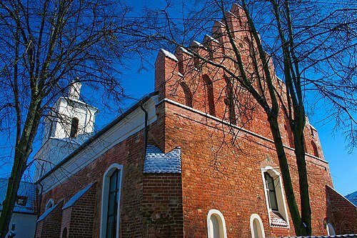 church building
St. Nicholas Church, Vilnius
church
Getting there Nearest stop or station Vilnius bus station, about 13 min on foot OpenStreetMap
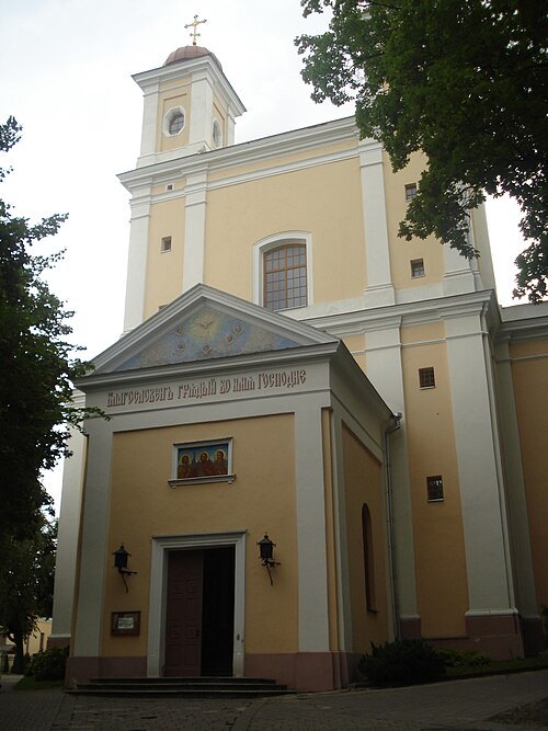 eastern orthodox church building
Orthodox Church of the Holy Spirit, Vilnius
church building in Vilnius, Lithuania
- eastern orthodox church building
Church and monastery of the Holy Trinity, Vilnius
church building in Vilnius, Lithuania
- demolished synagogue
Great Synagogue of Vilna
former synagogue in Vilnius, Lithuania
Getting there Nearest stop or station Vilnius bus station, about 16 min on foot OpenStreetMap
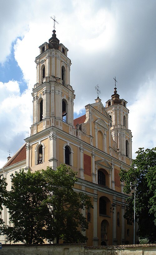 church building
Church of St. Philip and St. Jacob, Vilnius
church building in Vilnius, Lithuania
Getting there Nearest stop or station Žaliasis tiltas, about 7 min on foot OpenStreetMap
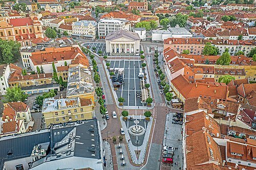 square
Vilnius Town Hall Square
urban square in Vilnius, Lithuania
Getting there Nearest stop or station Vilnius bus station, about 15 min on foot OpenStreetMap
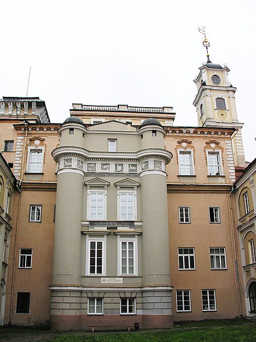
Photograph taken by Algirdas / CC BY-SA 3.0
astronomical observatoryAstronomical Observatory of Vilnius University
observatory in Vilnius, Lithuania
Getting there Nearest stop or station Žaliasis tiltas, about 16 min on foot OpenStreetMap
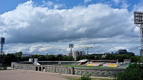 stadium
Žalgiris Stadium, Vilnius
former football stadium in Vilnius
Getting there Nearest stop or station Žaliasis tiltas, about 12 min on foot OpenStreetMap
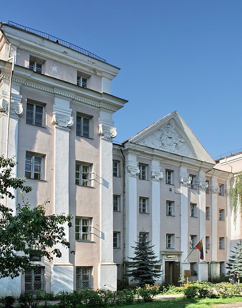 palace
Slushko Palace
palace in Vilnius, Lithuania
Getting there Nearest stop or station Žaliasis tiltas, about 18 min on foot OpenStreetMap
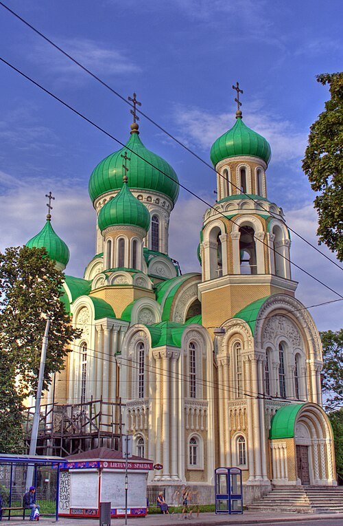 eastern orthodox church building
Orthodox Church of St. Michael and St. Constantine
church building in Vilnius, Lithuania
Getting there Nearest stop or station Žaliasis tiltas, about 19 min on foot OpenStreetMap
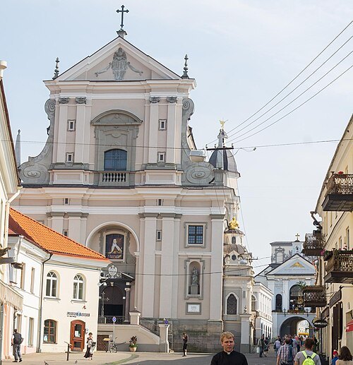
Guillaume Speurt / CC BY-SA 2.0
church buildingChurch of St. Theresa
Catholic church building in Vilnius, Lithuania.
Getting there Nearest stop or station Vilnius, about 10 min on foot OpenStreetMap
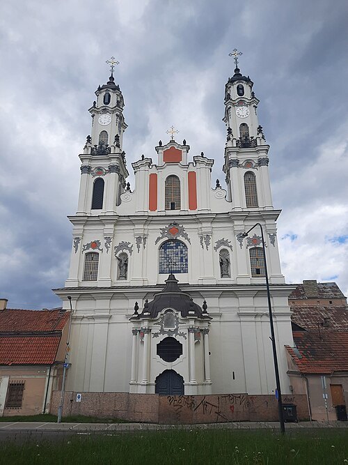
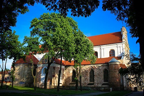 church building
Church of the Assumption of the Blessed Virgin Mary, Vilnius
church building in Vilnius, Lithuania
Getting there Nearest stop or station Vilnius bus station, about 15 min on foot OpenStreetMap
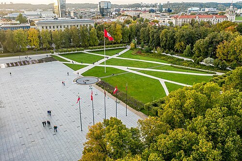 square
Lukiškės Square
square in Vilnius, Lithuania
Getting there Nearest stop or station Žaliasis tiltas, about 9 min on foot OpenStreetMap
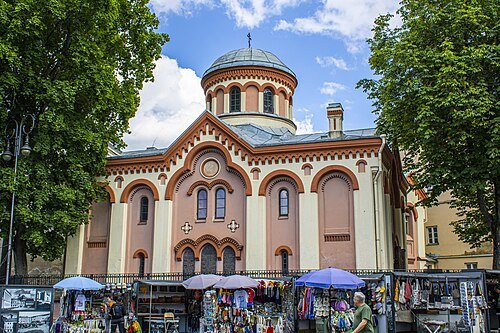 eastern orthodox church building
St. Paraskeva Church
church building in Vilnius, Lithuania
Getting there Nearest stop or station Vilnius bus station, about 19 min on foot OpenStreetMap
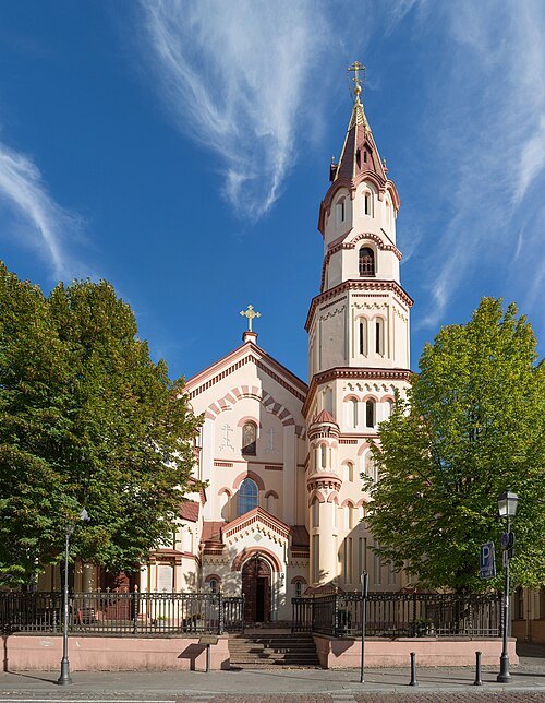 eastern orthodox church building
St. Nicholas Orthodox Church
church building in Vilnius, Lithuania
Getting there Nearest stop or station Vilnius bus station, about 17 min on foot OpenStreetMap
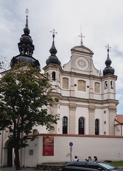
Jerzy Strzelecki / CC BY-SA 3.0
church buildingChurch of St. Michael, Vilnius
church in Lithuania
Getting there Nearest stop or station Žaliasis tiltas, about 20 min on foot OpenStreetMap
- fairy tale amusement park
Pasakų Park
- water park
Vichy Water Park


Places to eat
Nothing here matches that. Clear a filter and try again.
Opening hours and tickets: OpenStreetMap contributors. Each one shows the day a volunteer last wrote it down, so check the official site before you set out.