Benghazi: what to see and where to eat
Everything below comes from open data and each row says where it came from. We have not been to any of these places and we do not rank them.
Filters
Things to see
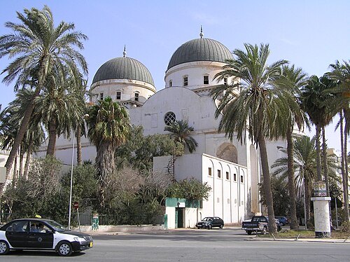
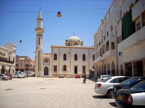 mosque
Atiq Mosque
building in Benghazi, Libya
Getting there Nearest stop or station Bus Station, about 17 min on foot OpenStreetMap

- square
Maydan al Shajara
square in Benghazi, Libya
Getting there Nearest stop or station Bus Station, about 20 min on foot OpenStreetMap
- national library
National Library of Libya
national library
Getting there Nearest stop or station Bus Station, about 8 min on foot OpenStreetMap
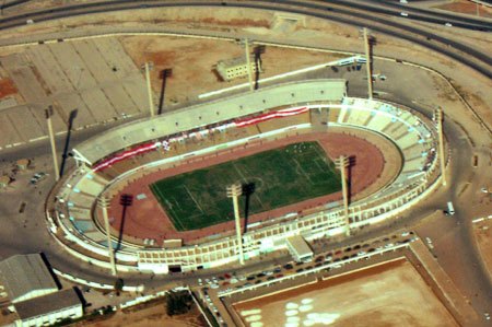
- stadium
Martyrs of February Stadium
building in Libya
Getting there Nearest stop or station Benina, about 18 min on foot OpenStreetMap
- zoo
Benghazi Zoo
zoo in Benghazi, Libya
Getting there Nearest stop or station College, about 15 min on foot OpenStreetMap
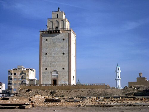
David Stanley from Nanaimo, Canada / CC BY 2.0
lighthouseBenghazi Lighthouse
lighthouse in Benghazi, Libya
Getting there Nearest stop or station Bus Station, about 14 min on foot OpenStreetMap
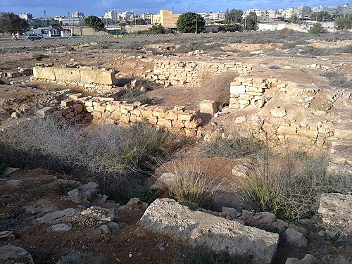 ancient city
Euesperides
ancient city in Cyrenaica
Getting there Nearest stop or station Quick transport, about 17 min on foot OpenStreetMap
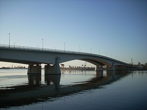
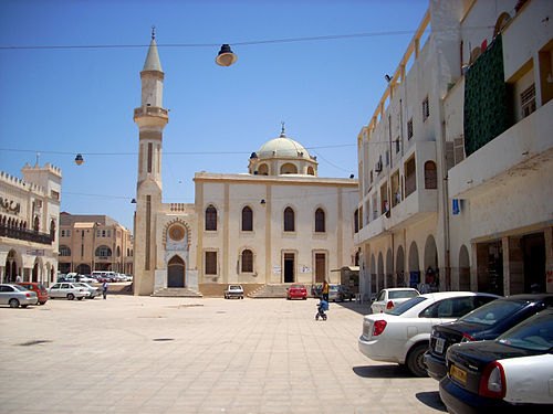 square
Maydan al Baladiya
square in Benghazi, Libya
Getting there Nearest stop or station Bus Station, about 17 min on foot OpenStreetMap
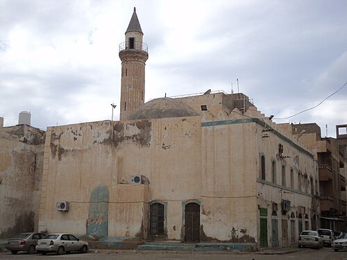
Maher A. A. Abdussalam / Public domain
mosqueOsman Mosque
mosque in Benghazi, Libya
Getting there Nearest stop or station Bus Station, about 17 min on foot OpenStreetMap


Places to eat
No eating place in this city lists its cuisine and opening hours yet.
Nothing here matches that. Clear a filter and try again.
Opening hours and tickets: OpenStreetMap contributors. Each one shows the day a volunteer last wrote it down, so check the official site before you set out.