Monrovia: what to see and where to eat
Everything below comes from open data and each row says where it came from. We have not been to any of these places and we do not rank them.
Filters
Things to see
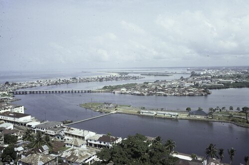
- river island
Providence Island
island in Liberia
Getting there Nearest stop or station bus to Red light, about 13 min on foot OpenStreetMap
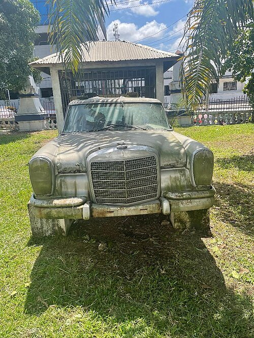 national museum
Liberian National Museum
national museum
Getting there Nearest stop or station bus to Red light, about 10 min on foot OpenStreetMap
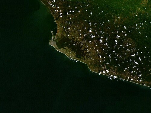
Photograph: NASA / Public domain
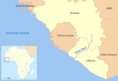
riverMesurado River
river in Liberia
Getting there Nearest stop or station bus to Red light, about 10 min on foot OpenStreetMap
- multi-purpose stadium
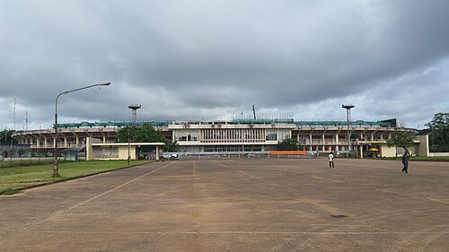
Antoinette Tubman Stadium
multi-purpose stadium
Getting there Nearest stop or station bus to Red light, about 9 min on foot OpenStreetMap
- tower block
Edward J. Roye Building
architectural structure
Getting there Nearest stop or station bus to Red light, about 9 min on foot OpenStreetMap
Fred van der Kraaij / CC BY-SA 4.0
road bridgeGabriel Tucker Bridge
bridge in Liberia
Getting there Nearest stop or station bus to Red light, about 12 min on foot OpenStreetMap
- cemetery
Palm Grove Cemetery
cemetery in Monrovia, Liberia
Getting there Nearest stop or station bus to Red light, about 10 min on foot OpenStreetMap


Places to eat
No eating place in this city lists its cuisine and opening hours yet.
Nothing here matches that. Clear a filter and try again.
Opening hours and tickets: OpenStreetMap contributors. Each one shows the day a volunteer last wrote it down, so check the official site before you set out.