Maseru: what to see and where to eat
Everything below comes from open data and each row says where it came from. We have not been to any of these places and we do not rank them.
Filters
Things to see
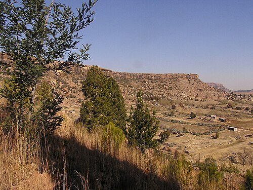
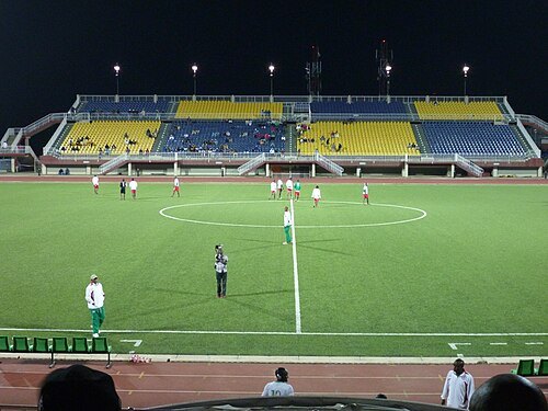
Robert Staudhammer from Earth / CC BY-SA 2.0
stadiumSetsoto Stadium
building in Lesotho
Getting there Nearest stop or station Maseru Bus Station, about 6 min on foot OpenStreetMap
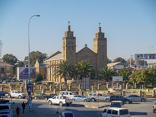 catholic cathedral
Our Lady of Victories Cathedral, Maseru
building in Lesotho
Getting there Nearest stop or station Maseru Bus Station (External), about 6 min on foot OpenStreetMap
- mountain range
Platberg
mountain near Ladybrand in eastern Free State
- mountain
Thaba Bosigo
mountain in Lesotho
- mountain
Makoaneng
mountain in Lesotho
- mountain
Mochawa
mountain in Lesotho
- mountain
Qoaling
mountain in Lesotho
- mountain
Qoatsaneng
mountain in Lesotho
- mountain
Tubati Rock
mountain in Lesotho
- mountain
Thaba Khupa
mountain in Lesotho
- mountain pass
Lancers Gap
- mountain
Likotsi
mountain in Lesotho
- hill
Wolwekop
- hill
Tenniskop
- hill
Platberg
hill near Ladybrand in eastern Free State
- hill
Pampoenkop
- hill
Moordkop
- hill
Langberg
- hill
Beesneus
- mountain
Mabulanyane
mountain in South Africa
- mountain
Wynberg
mountain in South Africa
- river
Appledore Spruit
river in South Africa
- river
Tenniskopspruit
river in South Africa


Places to eat
Nothing here matches that. Clear a filter and try again.
Opening hours and tickets: OpenStreetMap contributors. Each one shows the day a volunteer last wrote it down, so check the official site before you set out.