Beirut: what to see and where to eat
Everything below comes from open data and each row says where it came from. We have not been to any of these places and we do not rank them.
Filters
Things to see
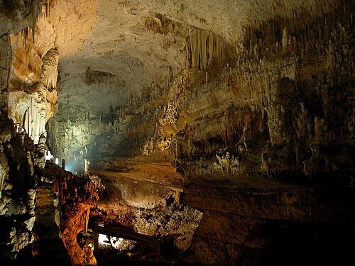 show cave
Jeita Grotto
system of two separate, but interconnected, karstic limestone caves 18 km north of Beirut
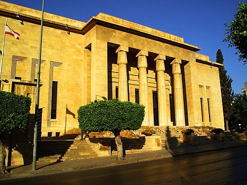
Elie plus (talk) / Public domain
national museumNational Museum of Beirut
museum in Lebanon
Getting there Nearest stop or station Van #4 - towards Laylaki, about 11 min on foot OpenStreetMap
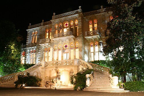 art museum
Sursock Museum
modern art and contemporary art museum in Beirut, Lebanon
Getting there Nearest stop or station Charles Hélou Bus Station, about 8 min on foot OpenStreetMap
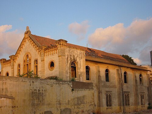 synagogue
Maghen Abraham Synagogue
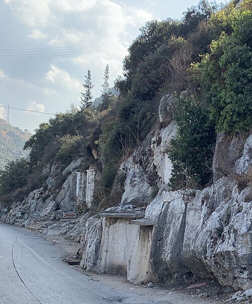
synagogue
Getting there Nearest stop or station Bus 12, 24 to Cola, about 18 min on foot OpenStreetMap
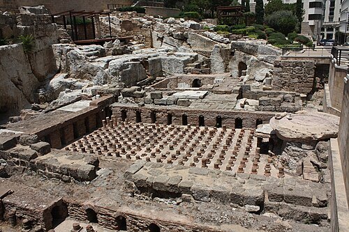 ancient roman structure
Roman Baths, Beirut
historic site in downtown Beirut, Lebanon
Getting there Nearest stop or station Charles Hélou Bus Station, about 16 min on foot OpenStreetMap
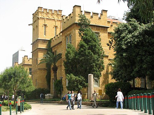
BlingBling10 at English Wikipedia / CC BY-SA 3.0
museumArchaeological Museum of the American University of Beirut
Lebanese-American museum
Getting there Nearest stop or station Bus 12, 24 to Cola, about 9 min on foot OpenStreetMap
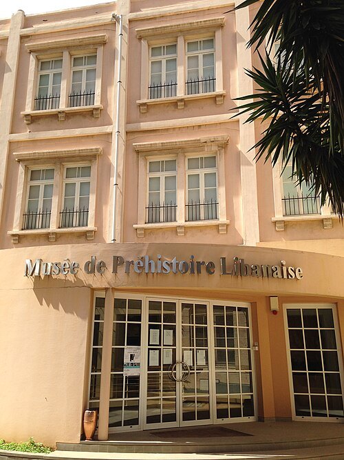 museum
Museum of Lebanese Prehistory
museum in Beirut, Lebanon
Getting there Nearest stop or station Charles Hélou Bus Station, about 12 min on foot OpenStreetMap
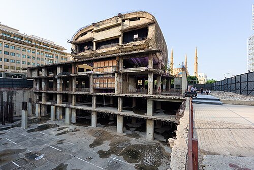 ruins
The Egg, Beirut
unfinished cinema structure in Beirut, Lebanon
Getting there Nearest stop or station Charles Hélou Bus Station, about 12 min on foot OpenStreetMap
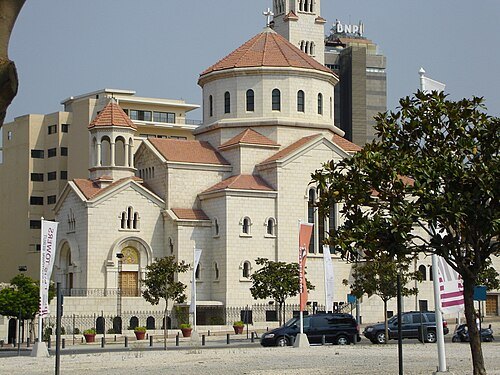
Rachel Ricci from Chicago, US / CC BY 2.0
catholic particular church sui iurisArmenian Catholic Church
one of the Eastern particular churches sui iuris of the Catholic Church
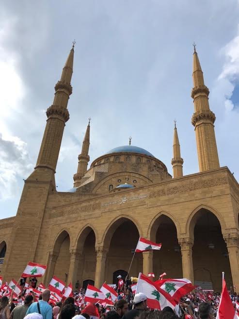 mosque
Mohammad Al-Amin Mosque
Muslim mosque
Getting there Nearest stop or station Charles Hélou Bus Station, about 11 min on foot OpenStreetMap
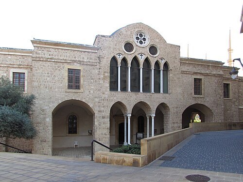 eastern orthodox cathedral
Saint George Greek Orthodox Cathedral
church and museum in Beirut
Getting there Nearest stop or station Charles Hélou Bus Station, about 12 min on foot OpenStreetMap
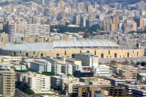 multi-purpose stadium
Camille Chamoun Sports City Stadium
multi-purpose stadium in Beirut
Getting there Nearest stop or station Minivan to Baalbek, about 14 min on foot OpenStreetMap
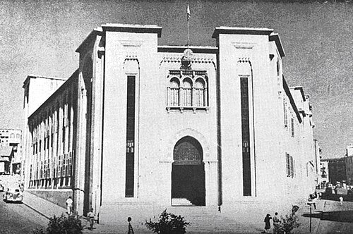
Unknown authorUnknown author / Public domain
national libraryLebanese National Library
Library in Beirut, Lebanon
Getting there Nearest stop or station Bus 12, 24 to Cola, about 3 min on foot OpenStreetMap
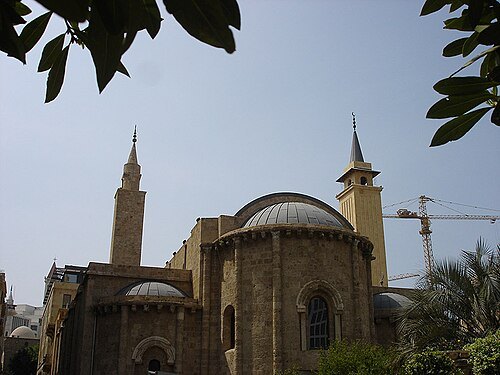 mosque
Al-Omari Grand Mosque
in Beirut, Lebanon
Getting there Nearest stop or station Charles Hélou Bus Station, about 12 min on foot OpenStreetMap
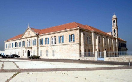
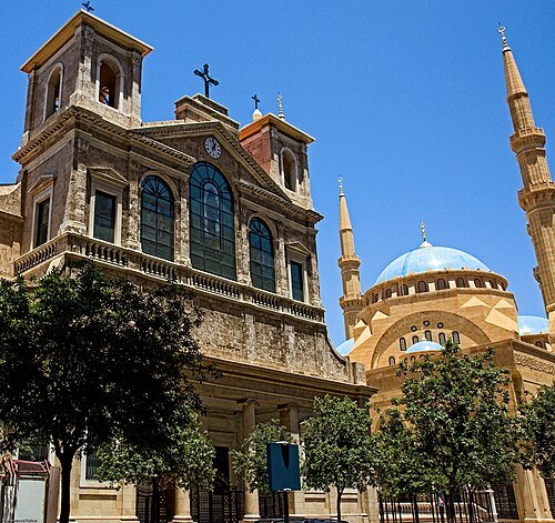 cathedral
Maronite Cathedral of Saint George, Beirut
church in Beirut, Lebanon
Getting there Nearest stop or station Charles Hélou Bus Station, about 12 min on foot OpenStreetMap
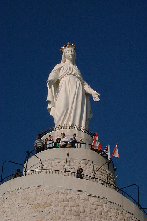
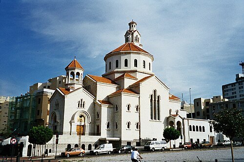 catholic cathedral
St. Elie and St. Gregory the Illuminator Armenian Catholic Cathedral
church in Beirut, Lebanon
Getting there Nearest stop or station Charles Hélou Bus Station, about 11 min on foot OpenStreetMap
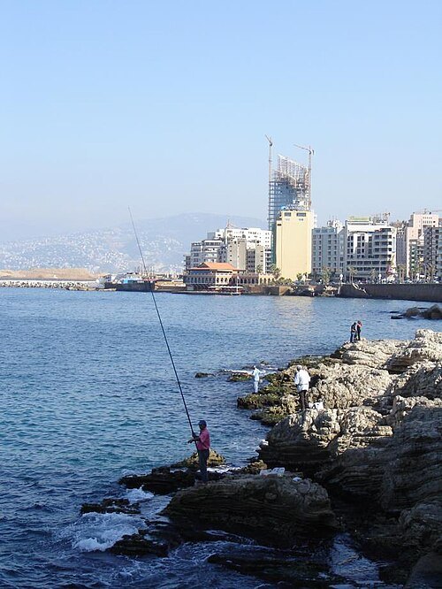
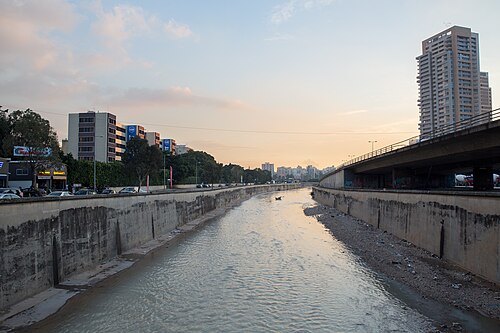 river
Beirut River
river in Lebanon
Getting there Nearest stop or station Mar Mikhaël Bus Station, about 18 min on foot OpenStreetMap
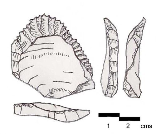
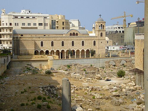 ancient city
Berytus
ancient city of Beirut, Lebanon
Getting there Nearest stop or station Charles Hélou Bus Station, about 12 min on foot OpenStreetMap
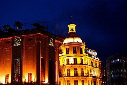
Karan Jain from Washington, DC, USA / CC BY-SA 2.0
squareMartyrs' Square
historical central public square of Beirut, Lebanon
Getting there Nearest stop or station Charles Hélou Bus Station, about 9 min on foot OpenStreetMap
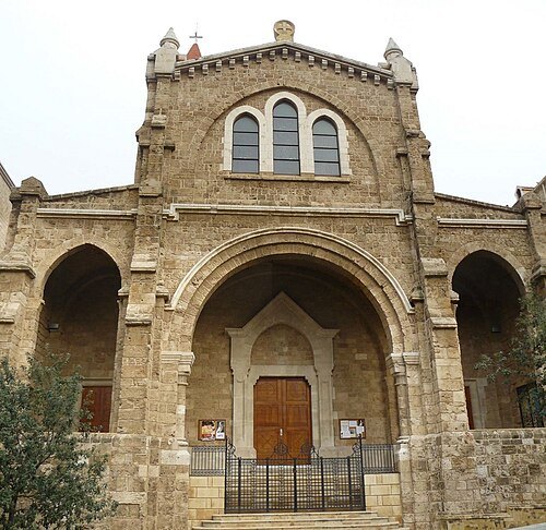 cathedral
St. Louis Cathedral
19th-century church in Beirut, Lebanon
Getting there Nearest stop or station Charles Hélou Bus Station, about 16 min on foot OpenStreetMap
- stadium
Beirut Municipal Stadium
multi-Use Stadium in Lebanon
Getting there Nearest stop or station Minivan to Baalbek, about 5 min on foot OpenStreetMap
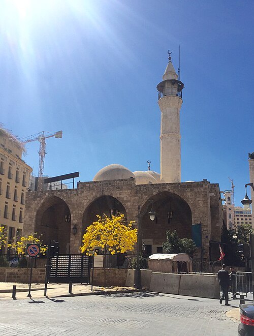 mosque
Emir Assaf Mosque
mosque in Beirut
Getting there Nearest stop or station Charles Hélou Bus Station, about 11 min on foot OpenStreetMap
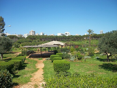 park
Horsh Beirut
park in Beirut, Lebanon
Getting there Nearest stop or station حلاوي, about 11 min on foot OpenStreetMap
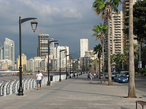
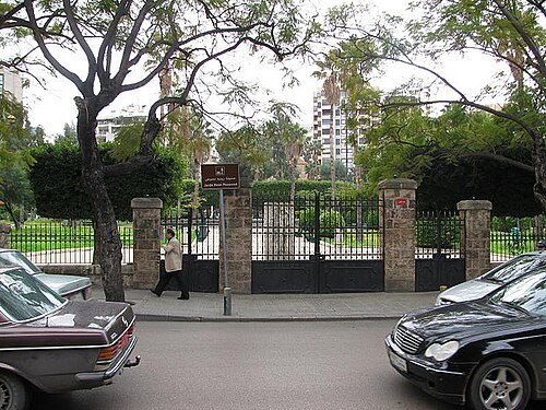
Steven Damron from San Francisco / CC BY 2.0
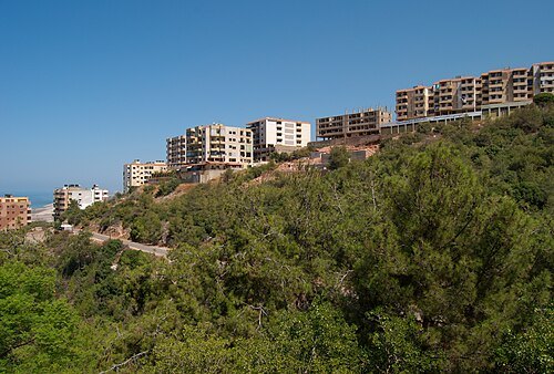
parkRené Moawad Garden
public open-air space in Beirut
Getting there Nearest stop or station Bus 12, 24 to Cola, about 5 min on foot OpenStreetMap
 mineralogical museum
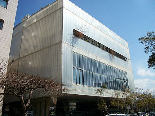
Mim Museum
museum of minerals and fossils in Beirut, Lebanon
Getting there Nearest stop or station Van #4 - towards Laylaki, about 11 min on foot OpenStreetMap
 catholic cathedral
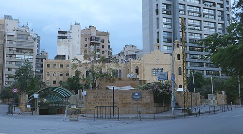
Saint Elias Greek Catholic Cathedral
1849 cathedral in Beirut
Getting there Nearest stop or station Charles Hélou Bus Station, about 12 min on foot OpenStreetMap
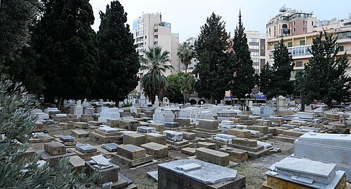 jewish cemetery
Jewish cemetery of Beirut
Cemetery in Lebanon
Getting there Nearest stop or station Van #4 - towards Laylaki, about 16 min on foot OpenStreetMap
- astronomical observatory
Lee Observatory
observatory in Beirut, Lebanon
Getting there Nearest stop or station Bus 12, 24 to Cola, about 14 min on foot OpenStreetMap
- museum
Robert Mouawad Private Museum
museum in Beirut, Lebanon
Getting there Nearest stop or station Bus 12, 24 to Cola, about 16 min on foot OpenStreetMap
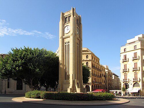 square
Nejmeh Square
Getting there Nearest stop or station Charles Hélou Bus Station, about 13 min on foot OpenStreetMap
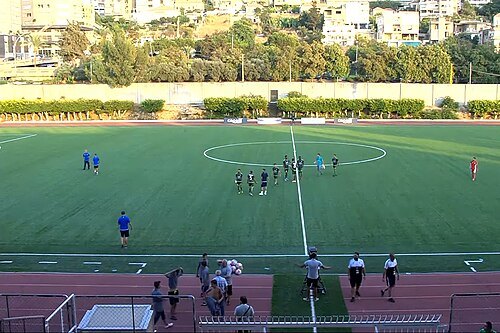
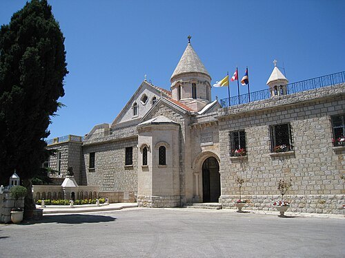
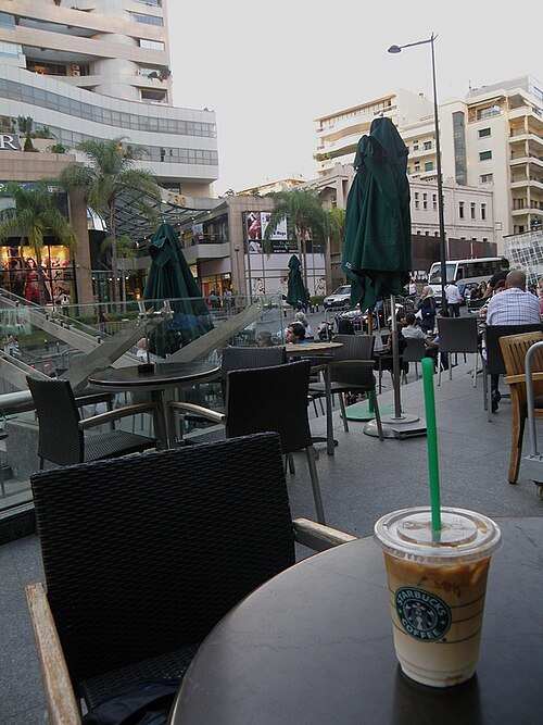 street
Rue Verdun
street in Beirut, Lebanon
Getting there Nearest stop or station Bus 12, 24 to Cola, about 17 min on foot OpenStreetMap
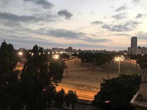 sports venue
Beirut Hippodrome
Roman and modern horse racing venue in Beirut, Lebanon
Getting there Nearest stop or station Van #4 - towards Laylaki, about 6 min on foot OpenStreetMap
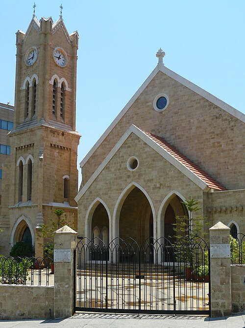 church building
National Evangelical Church of Beirut
Getting there Nearest stop or station Charles Hélou Bus Station, about 18 min on foot OpenStreetMap
- mosque
Emir Munzer Mosque
mosque in Beirut, Lebanon
Getting there Nearest stop or station Charles Hélou Bus Station, about 14 min on foot OpenStreetMap
- historic building
Sursock House
grand residence located in Beirut, Lebanon
Getting there Nearest stop or station Charles Hélou Bus Station, about 8 min on foot OpenStreetMap
- mosque
Al-Majidiyyeh Mosque
mosque in Beirut, Lebanon
Getting there Nearest stop or station Charles Hélou Bus Station, about 15 min on foot OpenStreetMap
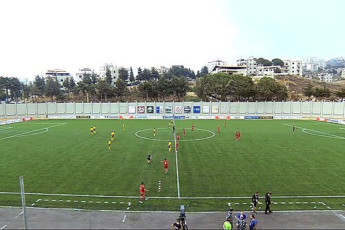
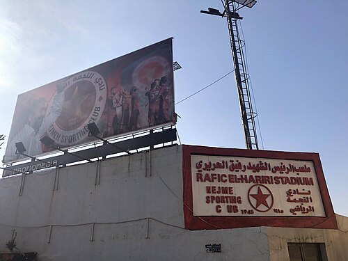
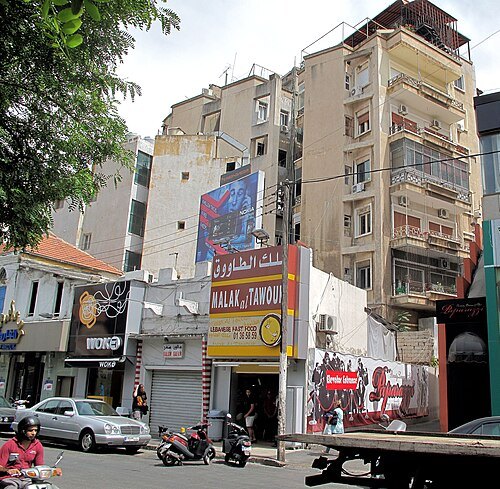 street
Bliss Street
Beirut, Lebanon
Getting there Nearest stop or station Bus 12, 24 to Cola, about 16 min on foot OpenStreetMap
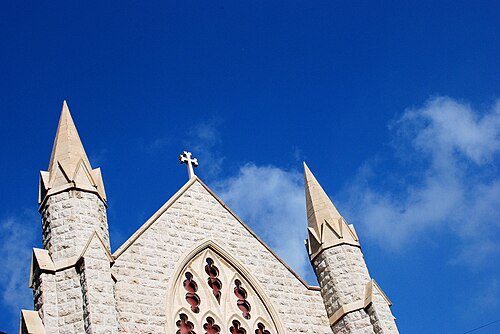
Karan Jain from Washington, DC, USA / CC BY-SA 2.0
church buildingFirst Armenian Evangelical Church
church building in Beirut, Lebanon
Getting there Nearest stop or station Bus 12, 24 to Cola, about 7 min on foot OpenStreetMap
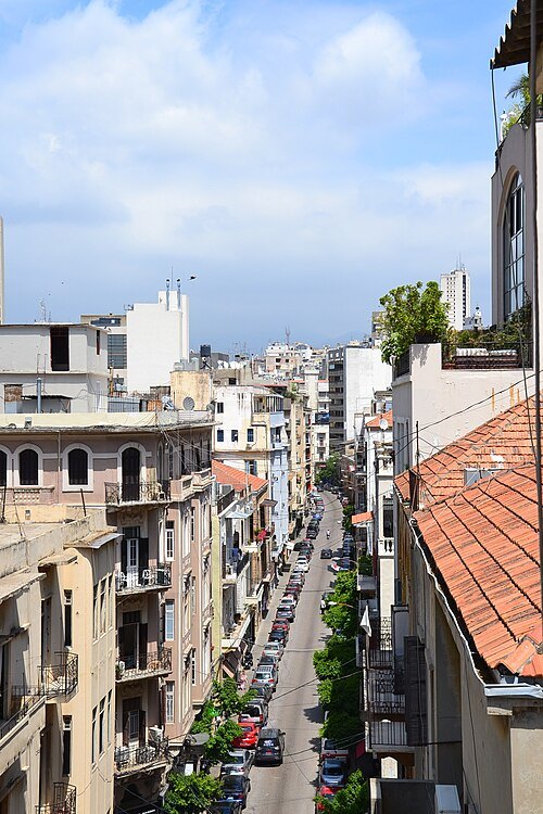 street
Gouraud Street
street in Beirut, Lebanon
Getting there Nearest stop or station Charles Hélou Bus Station, about 5 min on foot OpenStreetMap
- stadium
Safa Stadium
multi-use stadium in Beirut, Lebanon
Getting there Nearest stop or station Minivan to Baalbek, about 4 min on foot OpenStreetMap
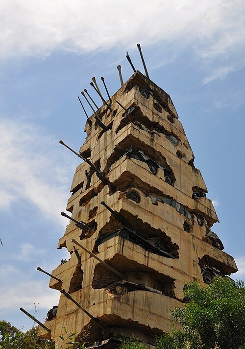
Lolinka (https://www.flickr.com/photos/26474403@N00/) / CC BY 2.0


Places to eat
- cafe
Café عصير صقر
Food: ice cream
- restaurant
رصيف بيروت
Food: regional, traditional lebanese, pub, cafe
- restaurant
مطعم خان بغداد
Food: arab, barbecue, chicken, coffee shop, diner, fish, kebab, lebanese
- restaurant
Restaurant El Hana
Food: lebanese breakfast, foul, hummus
Nothing here matches that. Clear a filter and try again.
Opening hours and tickets: OpenStreetMap contributors. Each one shows the day a volunteer last wrote it down, so check the official site before you set out.