Tokyo: what to see and where to eat
Everything below comes from open data and each row says where it came from. We have not been to any of these places and we do not rank them.
Filters
Things to see
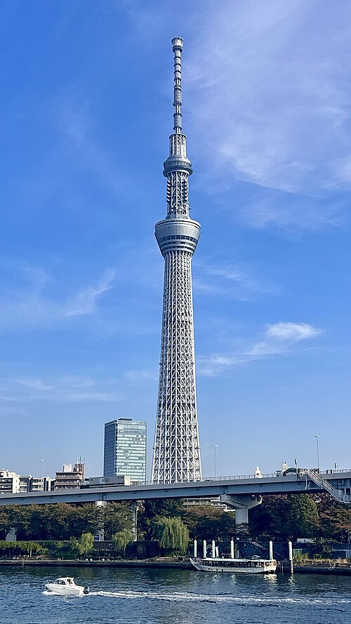
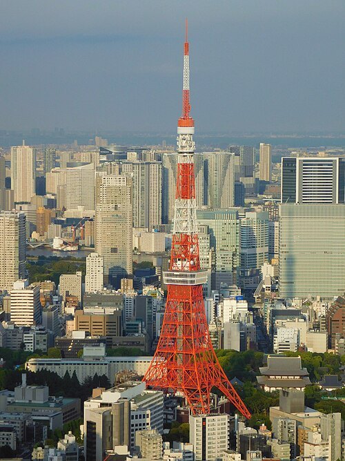 architectural landmark
Tokyo Tower
tower in Tokyo, Japan
Getting there Nearest stop or station Akabanebashi, about 7 min on foot OpenStreetMap
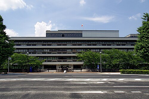 library building
National Diet Library
national library in Japan
Getting there Nearest stop or station Nagatacho, about 4 min on foot OpenStreetMap
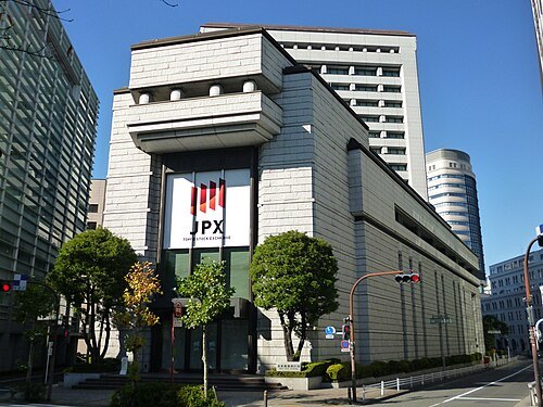 stock market
Tokyo Stock Exchange
stock market based in Tokyo
Getting there Nearest stop or station Kayabacho, about 4 min on foot OpenStreetMap
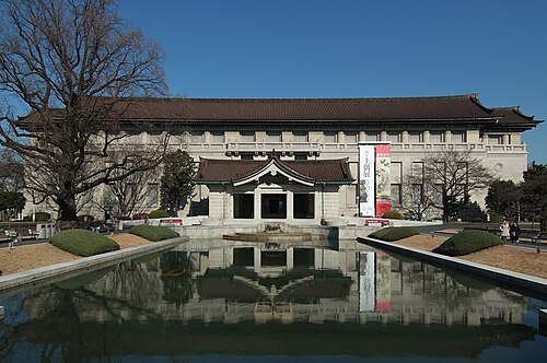 national museum
Tokyo National Museum
art museum in Tokyo, Japan
Getting there Nearest stop or station Uguisudani, about 5 min on foot OpenStreetMap
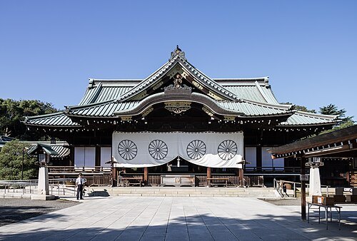 shinto shrine
Yasukuni Shrine
Shinto shrine in Tokyo, Japan
Getting there Nearest stop or station Ichigaya, about 8 min on foot OpenStreetMap
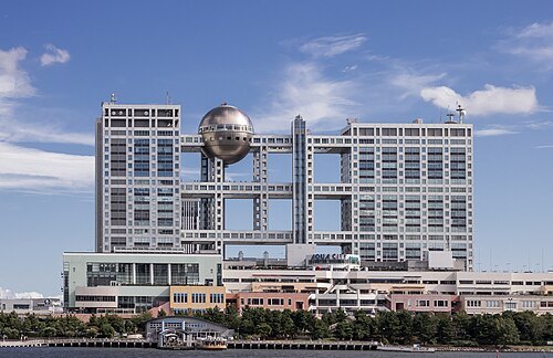 artificial island
Odaiba
town located in Minato-ku, Tokyo
Getting there Nearest stop or station お台場海浜公園船着場, about 3 min on foot OpenStreetMap
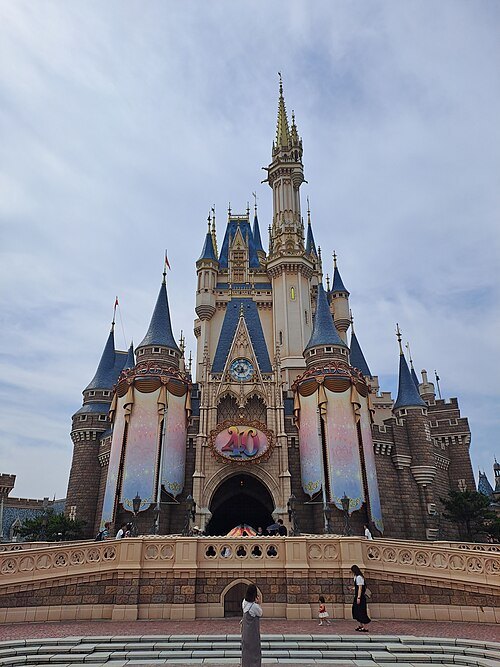 theme park
Tokyo Disneyland
theme park in Japan, owned by The Oriental Land Company
Getting there Nearest stop or station ウエスタンリバー鉄道, about 3 min on foot OpenStreetMap
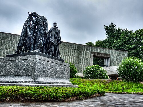 national museum
National Museum of Western Art
art museum in Tokyo, Japan
Getting there Nearest stop or station Ueno, about 4 min on foot OpenStreetMap
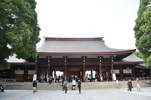
Tokuzo in Edomura / CC BY-SA 4.0
shinto shrineMeiji Jingū
Shinto shrine in Tokyo, Japan
Getting there Nearest stop or station Sangubashi, about 9 min on foot OpenStreetMap
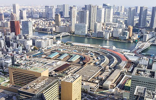 central wholesale market
Tsukiji fish market
building in Tokyo, Japan
Getting there Nearest stop or station Water Bus Station, about 4 min on foot OpenStreetMap
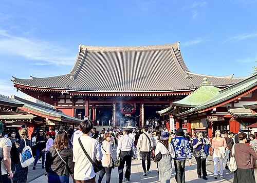 buddhist temple
Sensō-ji Temple
Buddhist temple in Tokyo, Japan
Getting there Nearest stop or station Asakusa, about 5 min on foot OpenStreetMap
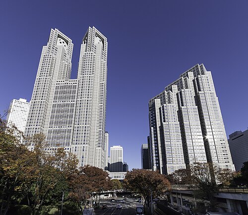 city hall
Tokyo Metropolitan Government Building
building in Nishi-Shinjuku, Tokyo, Japan
Getting there Nearest stop or station Tochomae, about 2 min on foot OpenStreetMap
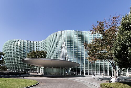 national museum
National Art Center, Tokyo
art museum in Tokyo, Japan
Getting there Nearest stop or station Nogizaka, about 2 min on foot OpenStreetMap
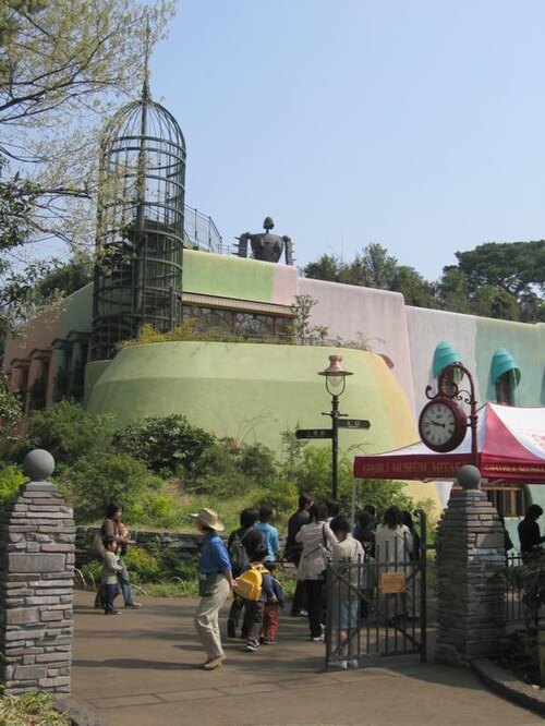 art museum
Ghibli Museum
art museum in Mitaka, Tokyo, Japan
Getting there Nearest stop or station Kichijōji, about 17 min on foot OpenStreetMap
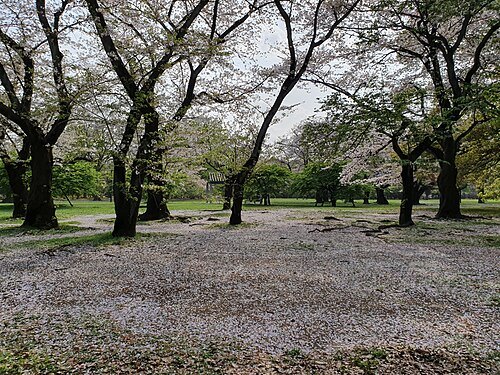 urban park
Yoyogi Park
park
Getting there Nearest stop or station Harajuku, about 7 min on foot OpenStreetMap
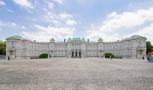 detached palace
Akasaka Palace
state guest house in Japan
Getting there Nearest stop or station Yotsuya, about 8 min on foot OpenStreetMap
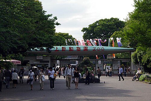 zoo
Ueno Zoo
zoo in Tokyo, Japan
Getting there Nearest stop or station Nezu, about 8 min on foot OpenStreetMap
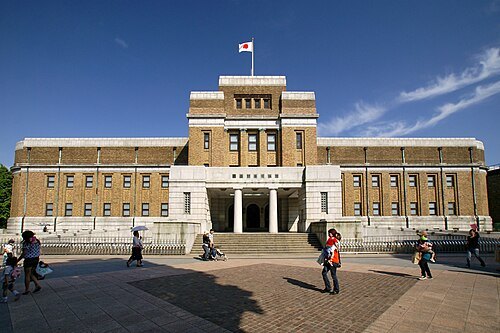 national museum
National Museum of Nature and Science
National Science Museum in Tokyo, Japan
Getting there Nearest stop or station Ueno, about 5 min on foot OpenStreetMap
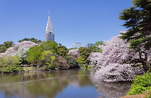 botanical garden
Shinjuku Gyoen
park and garden in Shinjuku and Shibuya, Tokyo, Japan
Getting there Nearest stop or station Shinjuku-gyoemmae, about 2 min on foot OpenStreetMap
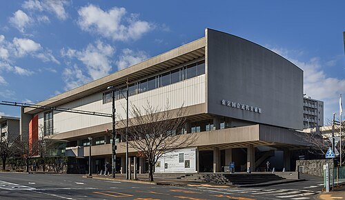 national museum
The National Museum of Modern Art
Art museum in Tokyo, Japan
Getting there Nearest stop or station Takebashi, about 6 min on foot OpenStreetMap
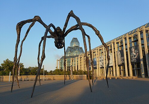
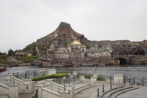 theme park
Tokyo DisneySea
theme park in Japan, owned by The Oriental Land Company
Getting there Nearest stop or station Venetian Gondolas, about 1 min on foot OpenStreetMap
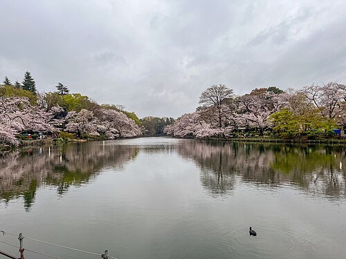 tokyo metropolitan park
Inokashira Park
park in Musashino and Mitaka, Tokyo
Getting there Nearest stop or station Kichijōji, about 14 min on foot OpenStreetMap
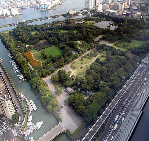 tokyo metropolitan park
Hamarikyu Gardens
park in Chuo, Tokyo, Japan
Getting there Nearest stop or station ウォーターズ竹芝前, about 5 min on foot OpenStreetMap
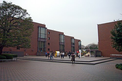 art museum
Tokyo Metropolitan Art Museum
museum in Tokyo, Japan
Getting there Nearest stop or station Ueno, about 8 min on foot OpenStreetMap
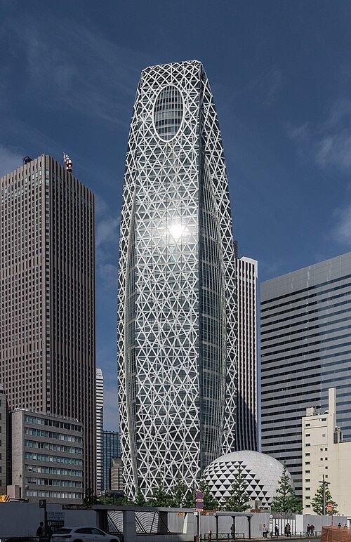 skyscraper
Mode Gakuen Cocoon Tower
building in Tokyo, Japan
Getting there Nearest stop or station Shinjuku, about 4 min on foot OpenStreetMap
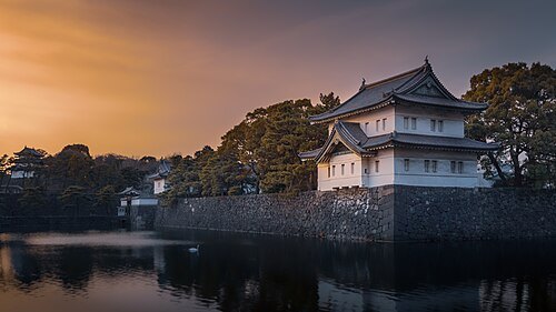
Pierre Blaché from Paris, France / CC0
royal palaceTokyo Imperial Palace
main residence of the Emperor of Japan
Getting there Nearest stop or station Sakuradamon, about 9 min on foot OpenStreetMap
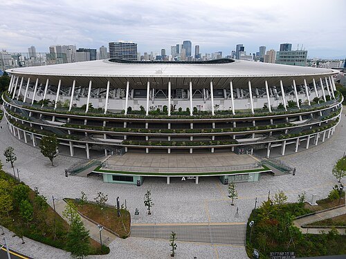 multi-purpose stadium
Japan National Stadium
stadium in Kasumigaoka, Tokyo, Japan
Getting there Nearest stop or station Kokuritsu-kyogijo, about 4 min on foot OpenStreetMap
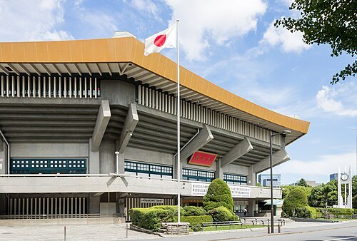 arena
Nippon Budōkan
indoor arena located in Chiyoda, Tokyo, Japan
Getting there Nearest stop or station Kudanshita, about 3 min on foot OpenStreetMap
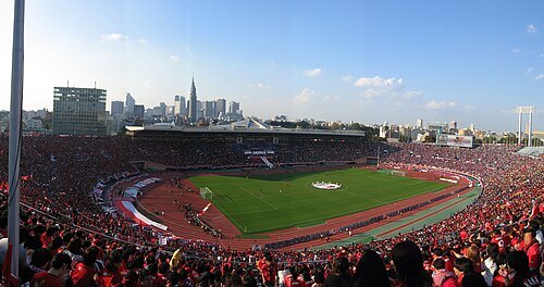 defunct sports venue
National Stadium in Tokyo
defunct multi-purpose stadium in Shinjuku, Tokyo, Japan
Getting there Nearest stop or station Kokuritsu-kyogijo, about 4 min on foot OpenStreetMap
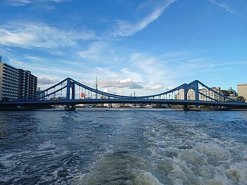
Mauricio V. Genta / CC BY-SA 4.0
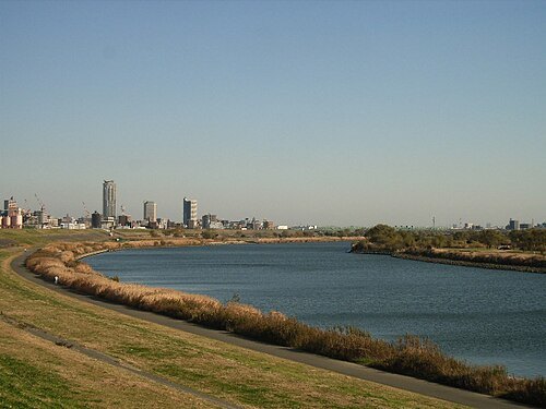
riverSumida River
river in Tokyo, Japan
Getting there Nearest stop or station Takeshiba Passenger Terminal, about 5 min on foot OpenStreetMap
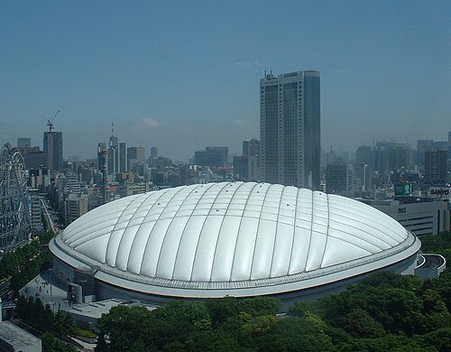
Carpkazu at Japanese Wikipedia / CC BY-SA 3.0
multi-purpose stadiumTokyo Dome
indoor stadium in Bunkyō, Tokyo, Japan
Getting there Nearest stop or station Korakuen, about 3 min on foot OpenStreetMap
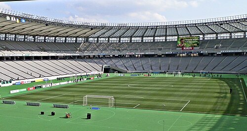 multi-purpose stadium
Ajinomoto Stadium
multi-purpose stadium in Chofu, Tokyo, Japan
Getting there Nearest stop or station Tobitakyu, about 9 min on foot OpenStreetMap
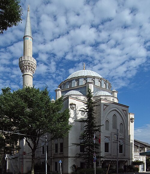 mosque
Tokyo Mosque
mosque in Japan
Getting there Nearest stop or station Yoyogi-Uehara, about 5 min on foot OpenStreetMap
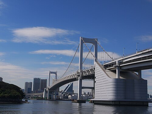 double-decker bridge
Rainbow Bridge
suspension bridge across the Tokyo Bay, Japan
Getting there Nearest stop or station Shibaura-futo, about 12 min on foot OpenStreetMap
 indoor arena
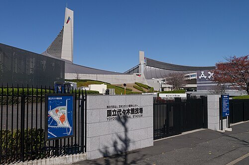
Yoyogi National Gymnasium
arena in Japan
Getting there Nearest stop or station Harajuku, about 6 min on foot OpenStreetMap
 parliament building
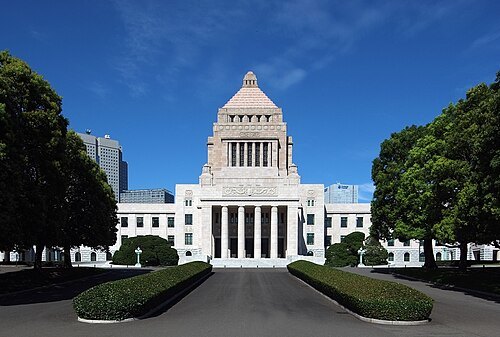
National Diet Building
parliament building of Japan
Getting there Nearest stop or station 丸ノ内線 国会議事堂前駅, about 2 min on foot OpenStreetMap
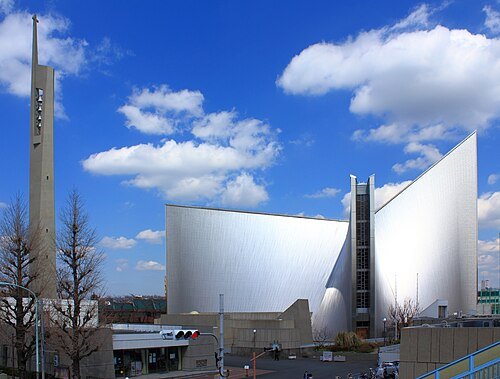 church building
St. Mary's Cathedral
seat of the Roman Catholic Archdiocese of Tokyo
Getting there Nearest stop or station Gokokuji, about 9 min on foot OpenStreetMap
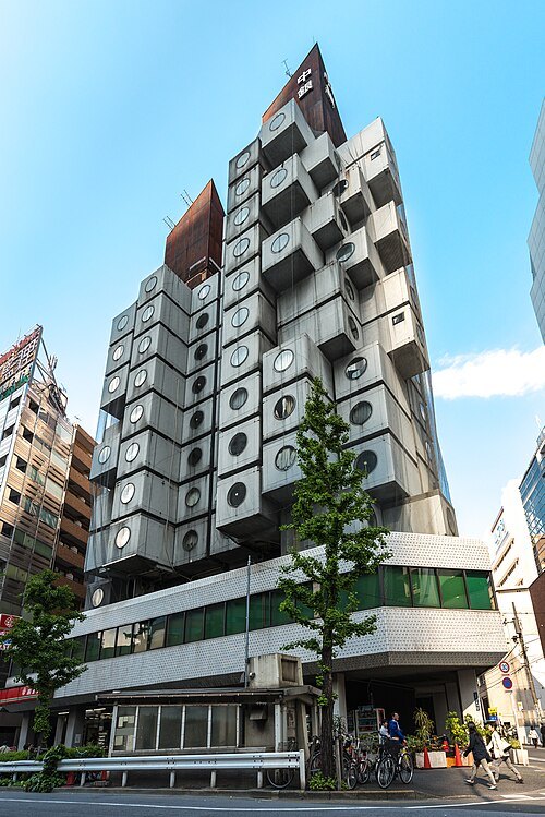 tower block
Nakagin Capsule Tower
former building in Tokyo, Japan (1970-2022)
Getting there Nearest stop or station Tsukijishijo, about 5 min on foot OpenStreetMap
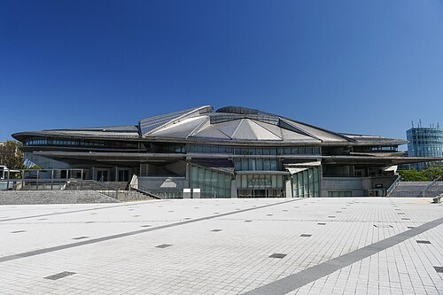 sports venue
Tokyo Metropolitan Gymnasium
sports arena
Getting there Nearest stop or station Kokuritsu-kyogijo, about 2 min on foot OpenStreetMap
- vessel preserved in museum
Daigo Fukuryū Maru
ship
Getting there Nearest stop or station Shin-kiba, about 9 min on foot OpenStreetMap
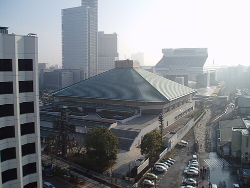 indoor arena
Ryōgoku Kokugikan
sumo indoor arena located in Sumida-ku, Tokyo, Japan
Getting there Nearest stop or station Water Bus Station, about 2 min on foot OpenStreetMap
- arena
Ariake Coliseum
sporting arena
Getting there Nearest stop or station Kokusai-tenjijo, about 4 min on foot OpenStreetMap
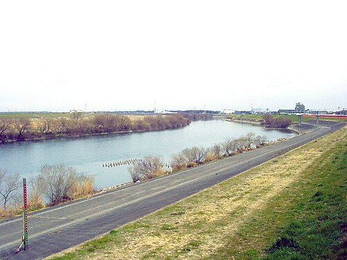
No machine-readable author provided. Kinori assumed (based on copyright claims). / Public domain
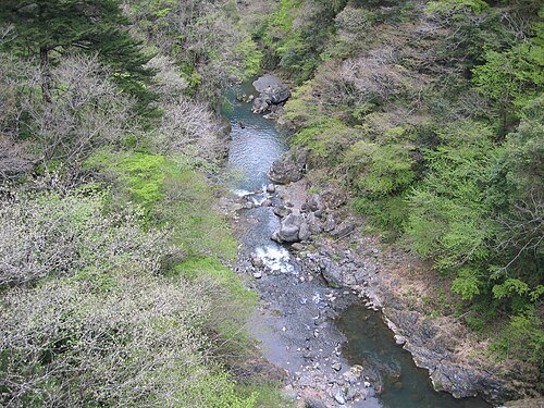
riverEdo River
river in Japan
Getting there Nearest stop or station Tokyo Disneyland Station, about 9 min on foot OpenStreetMap
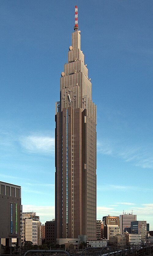
NTT_DoCoMo_Yoyogi_Building_2009.jpg: Wiiii derivative work: 0607crp (talk) / CC BY-SA 3.0
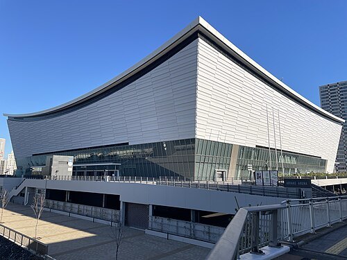 arena
Ariake Arena
Venue of the 2020 Summer Olympics
Getting there Nearest stop or station 有明アリーナ船着場, about 3 min on foot OpenStreetMap
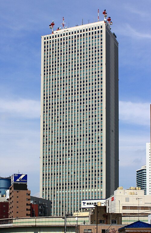 skyscraper
Sunshine 60
skyscraper
Getting there Nearest stop or station Sunshine Bus Terminal, about 5 min on foot OpenStreetMap
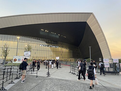 sports venue
Keio Arena Tokyo
multi-sport venue located in Tokyo, Japan.
Getting there Nearest stop or station Tobitakyu, about 9 min on foot OpenStreetMap
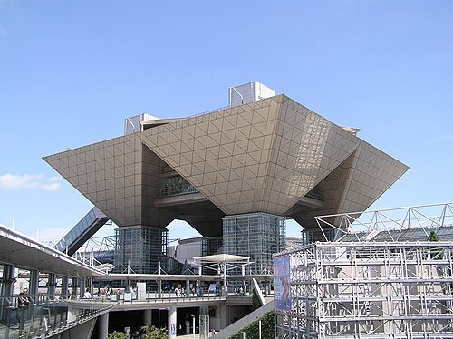 event venue
Tokyo Big Sight
convention center in Tokyo, Japan
Getting there Nearest stop or station Ariake Passenger Terminal, about 2 min on foot OpenStreetMap
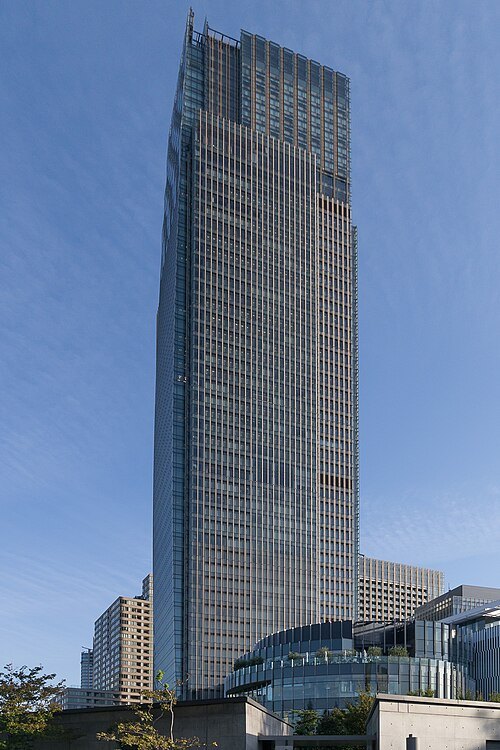 tower block
Midtown Tower
building in Tokyo, Japan
Getting there Nearest stop or station Roppongi, about 5 min on foot OpenStreetMap
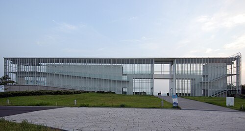 tokyo metropolitan park
Kasai Rinkai Park
park in Edogawa, Tokyo, Japan
Getting there Nearest stop or station Kasai-Rinkai Park, about 3 min on foot OpenStreetMap
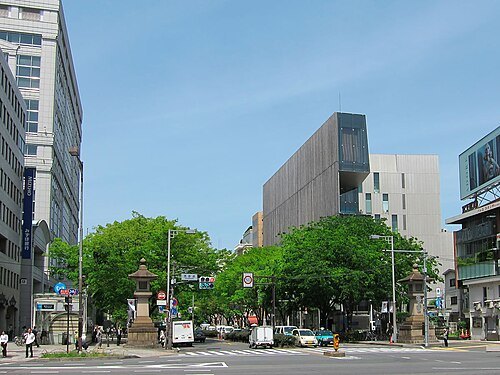 avenue
Omotesandō
human settlement in Japan
Getting there Nearest stop or station Omote-sando, about 1 min on foot OpenStreetMap
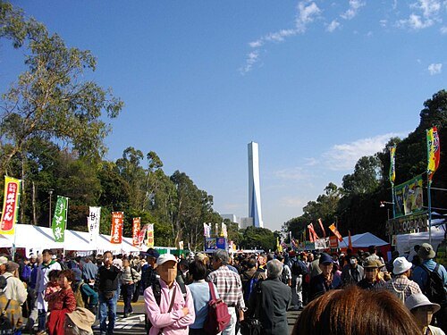 tokyo metropolitan park
Yumenoshima Park
park in Tokyo, Japan
Getting there Nearest stop or station Shin-kiba, about 8 min on foot OpenStreetMap
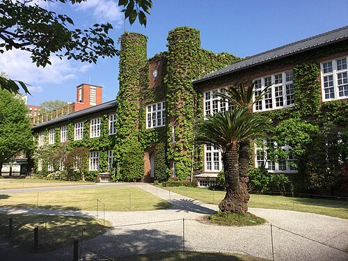 church college
Rikkyo University
private Anglican university in Tokyo, Japan
Getting there Nearest stop or station Ikebukuro, about 7 min on foot OpenStreetMap
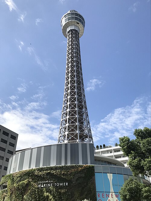 lighthouse
Yokohama Marine Tower


Places to eat
Nothing here matches that. Clear a filter and try again.
Opening hours and tickets: OpenStreetMap contributors. Each one shows the day a volunteer last wrote it down, so check the official site before you set out.