Sendai: what to see and where to eat
Everything below comes from open data and each row says where it came from. We have not been to any of these places and we do not rank them.
Filters
Things to see
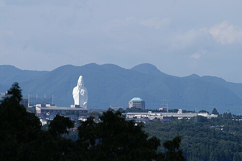
Hideyuki KAMON from Takarazuka / 宝塚市, Hyogo / 兵庫県, Japan / 日本 / CC BY-SA 2.0
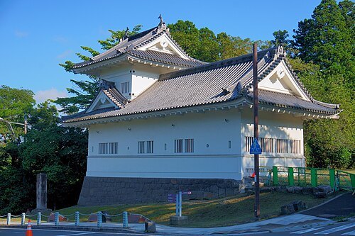 japanese castle
Sendai Castle
castle in Sendai city, Miyagi prefecture, Japan
Getting there Nearest stop or station International Center, about 14 min on foot OpenStreetMap
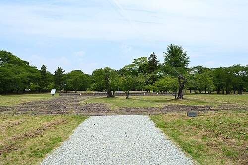 jōsaku castle
Taga Castle
Castle ruins in Miyagi Prefecture, Japan
Getting there Nearest stop or station Kokufu-Tagajo, about 13 min on foot OpenStreetMap
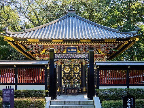 mausoleum
Zuihōden
Shinto shrines in Miyagi Prefecture, Japan
Getting there Nearest stop or station Omachi Nishi-koen, about 15 min on foot OpenStreetMap
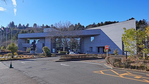 city museum
Sendai City Museum
museum in Sendai, Miyagi, Japan
Getting there Nearest stop or station International Center, about 7 min on foot OpenStreetMap
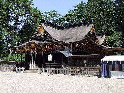 hachiman shrine
Ōsaki Hachimangū
Shinto shrine in Miyagi Prefecture, Japan
Getting there Nearest stop or station Tohoku Fukushi University, about 15 min on foot OpenStreetMap
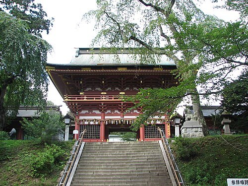 shinto shrine
Shiogama Shrine
Shinto shrine in Shiogama, Miyagi prefecture, Japan
Getting there Nearest stop or station Hon-Shiogama, about 14 min on foot OpenStreetMap
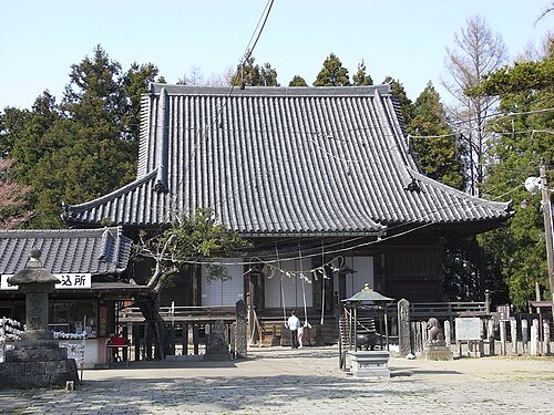 provincial temple
Mutsu Kokubun-ji Temple
Buddhist temple in Miyagi Prefecture, Japan
Getting there Nearest stop or station Yakushido, about 7 min on foot OpenStreetMap
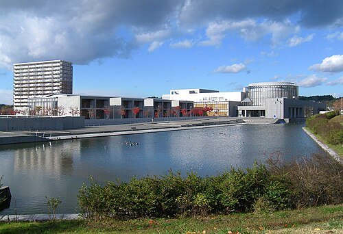 history museum
Tōhoku History Museum
historic museum in Japan
Getting there Nearest stop or station Kokufu-Tagajo, about 2 min on foot OpenStreetMap
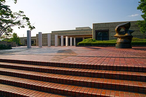 art museum
Miyagi Museum of Art
art museum in Sendai, Miyagi Prefecture, Japan
Getting there Nearest stop or station International Center, about 7 min on foot OpenStreetMap
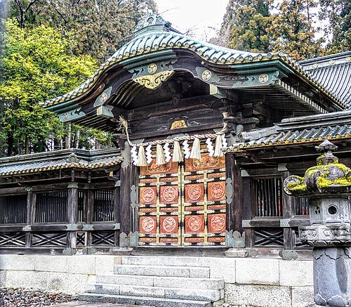 shinto shrine
Sendai Tōshō-gū
Shinto shrine in Miyagi Prefecture, Japan
Getting there Nearest stop or station Toshogu, about 5 min on foot OpenStreetMap
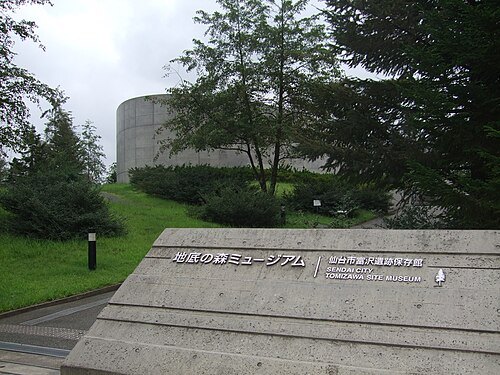
Asenas10 at Japanese Wikipedia / CC BY 3.0
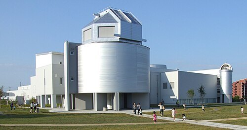
archaeological museumSendai City Tomizawa Site Museum
museum in Sendai, Japan
Getting there Nearest stop or station Nagamachi-Minami, about 7 min on foot OpenStreetMap
 historic building
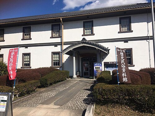
Sendai City Museum of History and Folklore
museum in Sendai, Miyagi, Japan
Getting there Nearest stop or station Tsutsujigaoka, about 7 min on foot OpenStreetMap
 public aquarium
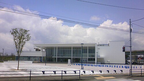
Sendai Umino-Mori Aquarium
aquarium in Miyagi, Japan
Getting there Nearest stop or station Nakanosakae, about 17 min on foot OpenStreetMap
No machine-readable author provided. Kinori assumed (based on copyright claims). / Public domain
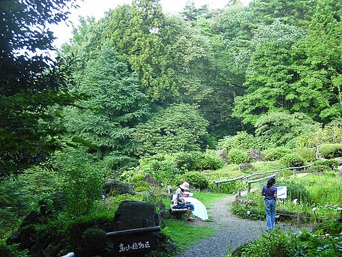
botanical gardenSendai Wild Plants Garden
garden in Sendai, Miyagi, Japan
Getting there Nearest stop or station Atagobashi, about 18 min on foot OpenStreetMap
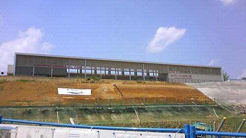
- circular kofun
Raijinyama Kofun
kofun burial mound in Natori, Japan
Getting there Nearest stop or station Tatekoshi, about 14 min on foot OpenStreetMap
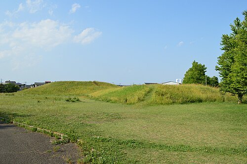 kofun
Tōmizuka Kofun
4th or 5th century Japanese burial mound
Getting there Nearest stop or station 仙台市営バス霞目車庫, about 11 min on foot OpenStreetMap
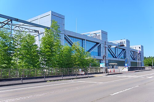 science museum
Sendai City Science Museum
museum in Sendai, Miyagi, Japan
Getting there Nearest stop or station Asahigaoka, about 6 min on foot OpenStreetMap
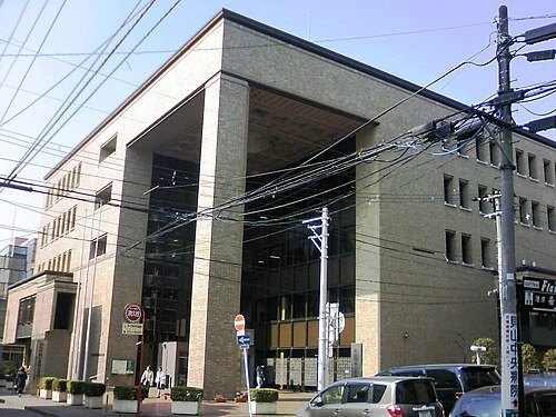 concert hall
Sendai City War Reconstruction Memorial Hall
museum in Sendai, Miyagi, Japan
Getting there Nearest stop or station Omachi Nishi-koen, about 5 min on foot OpenStreetMap
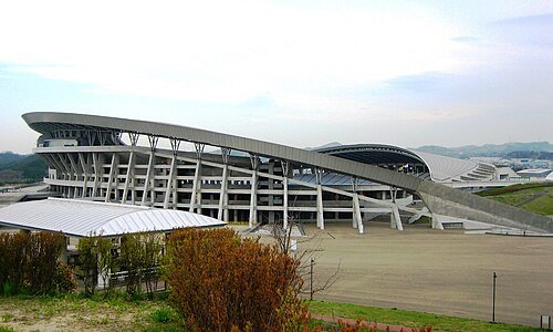
MiyagiStadium2007-4-29.jpg: Kernel derivative work: 0607crp (talk) / CC BY-SA 3.0
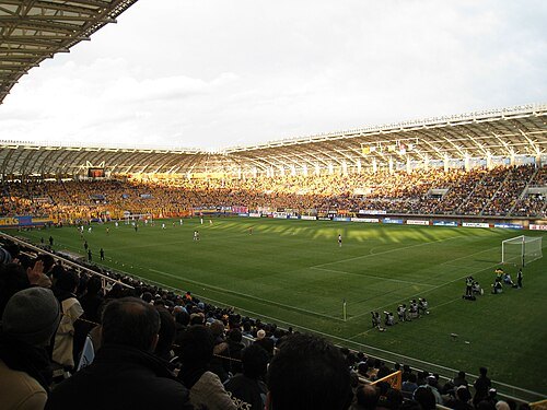 stadium
Yurtec Stadium Sendai
building in Izumi-ku, Miyagi Prefecture, Japan
Getting there Nearest stop or station Izumi-Chuo, about 7 min on foot OpenStreetMap
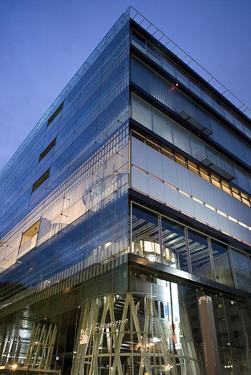
scarletgreen from Japan / CC BY 2.0
media librarySendai Mediatheque
library in Sendai, Miyagi Prefecture, Japan
Getting there Nearest stop or station Kotodai-Koen, about 8 min on foot OpenStreetMap
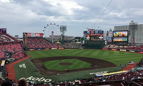 venue
Miyagi Baseball Stadium
baseball stadium in Sendai, Japan
Getting there Nearest stop or station Miyaginohara, about 9 min on foot OpenStreetMap
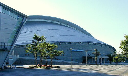
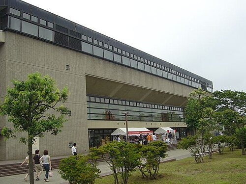 arena
Sendai Gymnasium
building in Sendai, Miyagi Prefecture, Japan
Getting there Nearest stop or station Tomizawa, about 6 min on foot OpenStreetMap
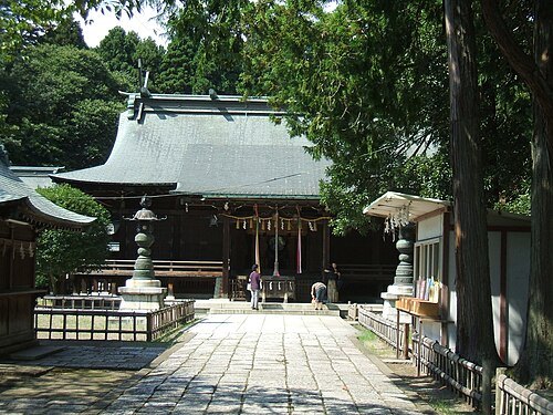 shinto shrine
Aoba Shrine
Shinto shrine in Miyagi Prefecture, Japan
Getting there Nearest stop or station Kita-Sendai, about 8 min on foot OpenStreetMap
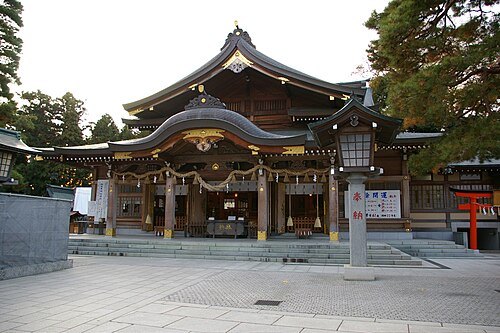 shinto shrine
Takekoma Inari Shrine
Shinto shrine in Miyagi Prefecture, Japan
Getting there Nearest stop or station Iwanuma, about 13 min on foot OpenStreetMap
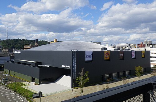
ChampagneFight / Public domain
arenaXebio Arena Sendai
arena in Sendai, Miyagi, Japan
Getting there Nearest stop or station Nagamachi, about 4 min on foot OpenStreetMap
 university museum
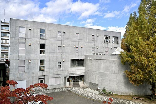
Tohoku University Museum
museum in Sendai, Miyagi, Japan
Getting there Nearest stop or station Aobayama, about 5 min on foot OpenStreetMap
 shinto shrine
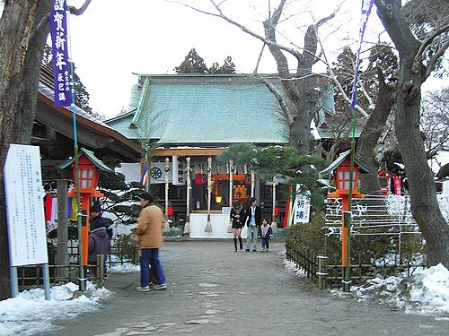
Atago Shrine
building in Taihaku-ku, Miyagi Prefecture, Japan
Getting there Nearest stop or station Atagobashi, about 9 min on foot OpenStreetMap
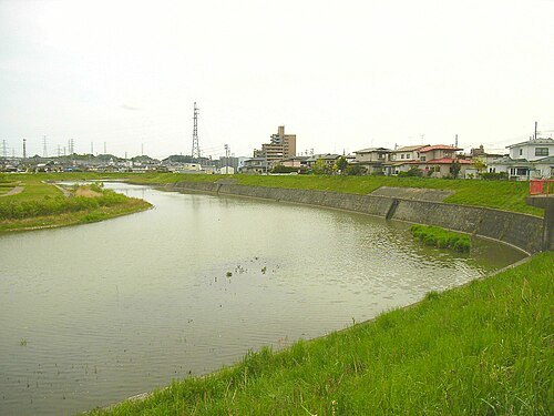
No machine-readable author provided. Kinori assumed (based on copyright claims). / Public domain
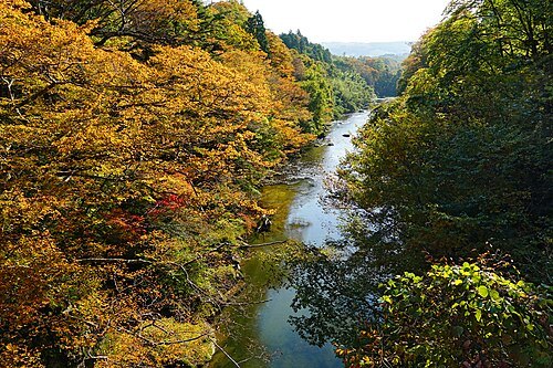
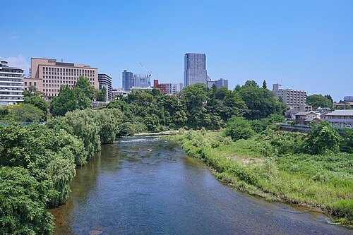
riverNanakita River
river in Japan
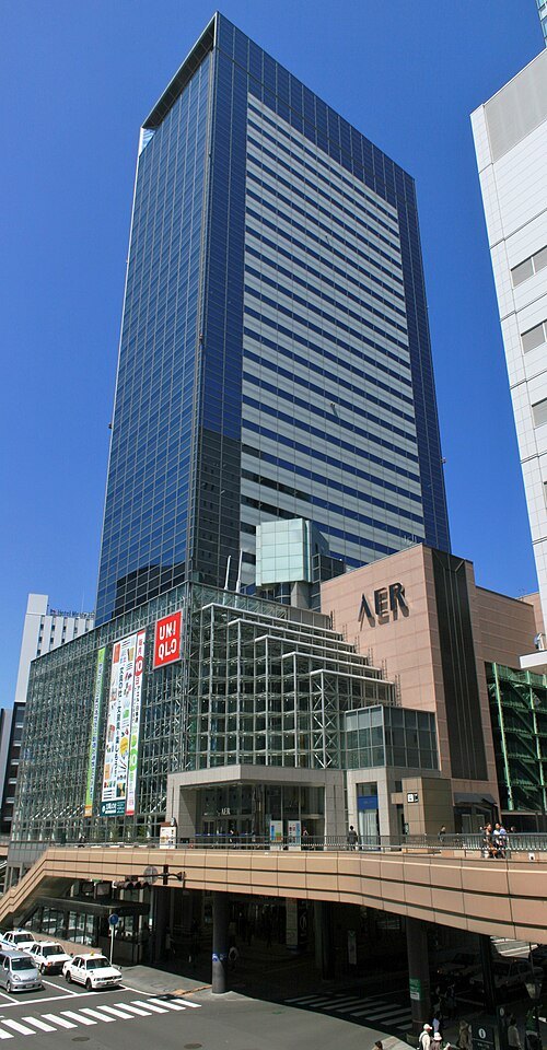 skyscraper
Aer
skyscraper in Japan
Getting there Nearest stop or station Sendai, about 4 min on foot OpenStreetMap
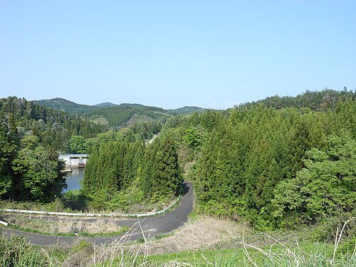
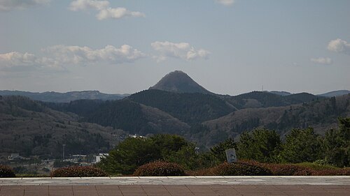
User: Wkatsuhiro / Public domain
mountainMount Taihaku
Getting there Nearest stop or station Miyagi Kōtsū, about 11 min on foot OpenStreetMap
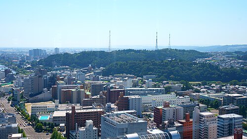 mountain
Mount Dainenji
mountain in Miyagi prefecture, Japan
Getting there Nearest stop or station 仙台市交通局長町営業所, about 19 min on foot OpenStreetMap
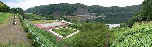
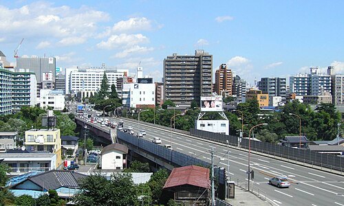
AtagoOhashi2007.jpg: User:Kinori derivative work: 0607crp (talk) / Public domain
bridgeAtago Great Bridge
bridge in Sendai,Miyagi,Japan
Getting there Nearest stop or station Atagobashi, about 3 min on foot OpenStreetMap
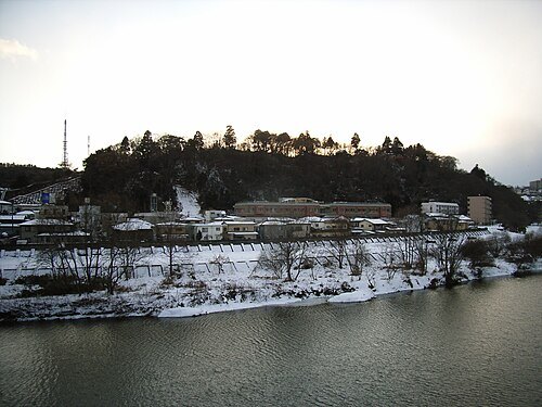
No machine-readable author provided. Kinori assumed (based on copyright claims). / Public domain
mountainMount Atago
Getting there Nearest stop or station Atagobashi, about 8 min on foot OpenStreetMap
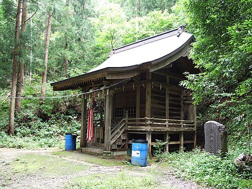
No machine-readable author provided. Kinori assumed (based on copyright claims). / Public domain
shinto shrineEnryū Shrine
Shinto shrine in Miyagi Prefecture, Japan
Getting there Nearest stop or station Kumagane, about 13 min on foot OpenStreetMap
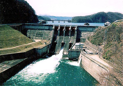
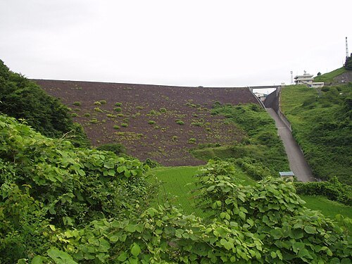
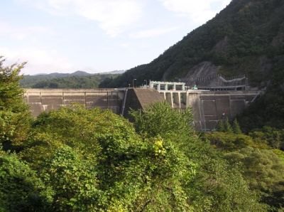 dam
Okura Dam
dam in Miyagi Prefecture, Japan
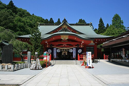 shinto shrine
Miyagi Gokoku Shrine
Shinto shrine in Sendai, Miyagi prefecture, Japan
Getting there Nearest stop or station International Center, about 14 min on foot OpenStreetMap
Overwhetstone1420 / CC BY-SA 4.0
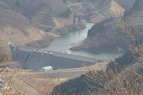
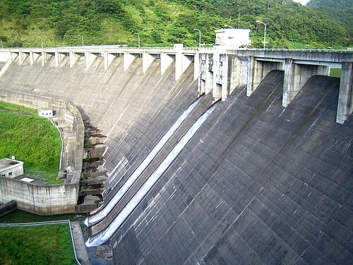
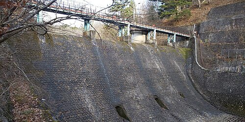
damAoshita No.1 Dam
dam in Miyagi Prefecture, Japan
Getting there Nearest stop or station Kumagane, about 19 min on foot OpenStreetMap
 shinto shrine
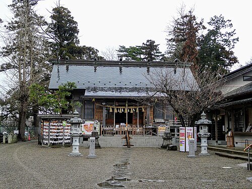
Futahashira Shrine
Shinto shrine in Miyagi Prefecture, Japan
Getting there Nearest stop or station Izumi-Chuo, about 10 min on foot OpenStreetMap
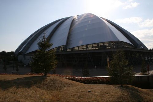
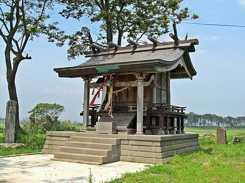 shinto shrine
Shimomasuda Shrine
Shinto shrine in Miyagi Prefecture, Japan
Getting there Nearest stop or station Sendai Airport, about 9 min on foot OpenStreetMap
- river
Sunaoshi River
river in Miyagi prefecture, Japan
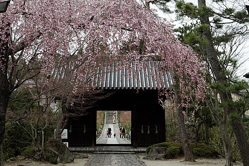 buddhist temple
Rinnō-ji
temple in Sendai, Miyagi, Japan
Getting there Nearest stop or station Kitayama, about 10 min on foot OpenStreetMap
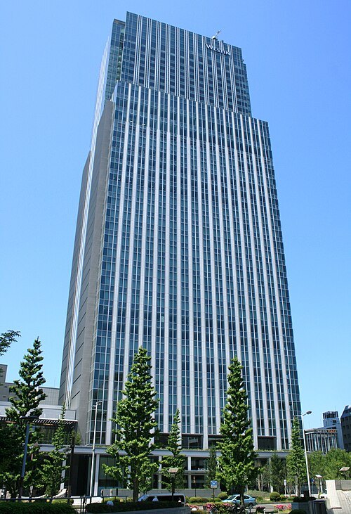 tower block
Sendai Trust Tower
Getting there Nearest stop or station Aoba-dori Ichibancho, about 8 min on foot OpenStreetMap
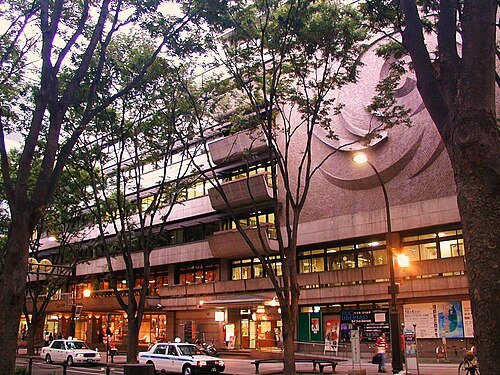 music venue
Miyagi Prefectural Auditorium
performance venue in Sendai, Japan
Getting there Nearest stop or station Kotodai-Koen, about 5 min on foot OpenStreetMap


Places to eat
- restaurant
まるまつ 愛子店
Food: japanese
- restaurant
もちもちの木 仙台愛子店
Food: ラーメン
Nothing here matches that. Clear a filter and try again.
Opening hours and tickets: OpenStreetMap contributors. Each one shows the day a volunteer last wrote it down, so check the official site before you set out.