Sapporo: what to see and where to eat
Everything below comes from open data and each row says where it came from. We have not been to any of these places and we do not rank them.
Filters
Things to see
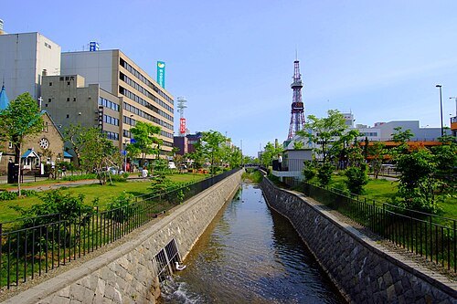
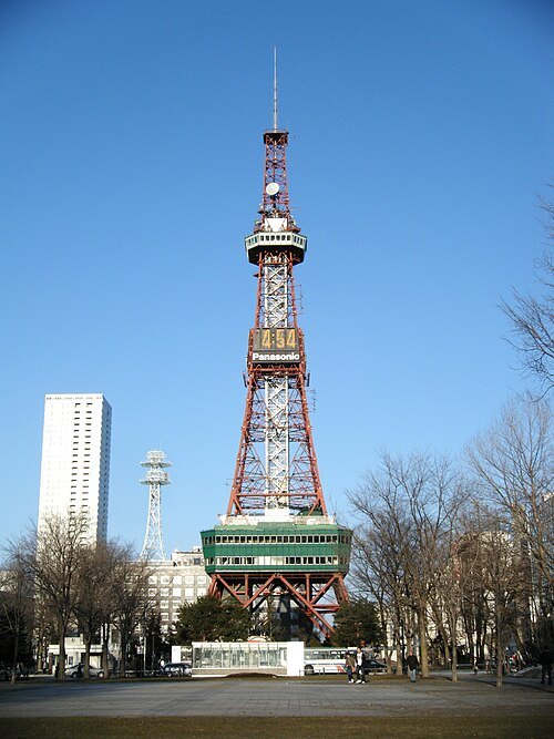 television tower
Sapporo TV Tower
TV tower in Sapporo, Japan
Getting there Nearest stop or station Odori, about 2 min on foot OpenStreetMap
The original uploader was K. Takeda at Japanese Wikipedia. / CC BY-SA 3.0
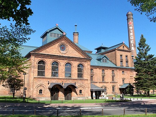
beer museumSapporo Beer Museum
museum in Sapporo, Hokkaido, Japan
Getting there Nearest stop or station Naebo, about 8 min on foot OpenStreetMap
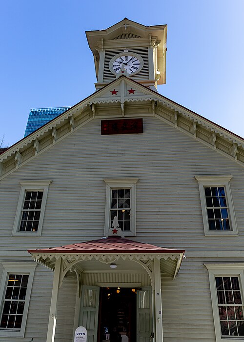 clock tower
Sapporo Clock Tower
building in Chuo-ku, Hokkaido Prefecture, Japan
Getting there Nearest stop or station Odori, about 4 min on foot OpenStreetMap
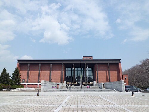 prefectural museum
Hokkaido Museum
museum in Sapporo, Hokkaido, Japan
Getting there Nearest stop or station Shinrin-Kōen, about 20 min on foot OpenStreetMap
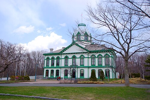
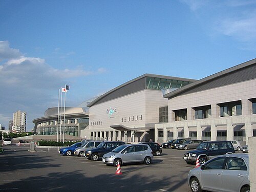
もんもん at Japanese Wikipedia / Public domain
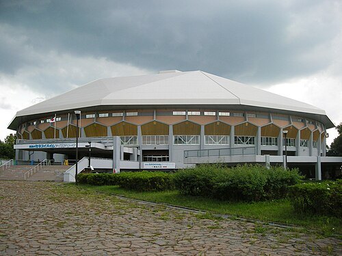
music venueHokkaido Prefectural Sports Center
building in Toyohira-ku, Hokkaido Prefecture, Japan
Getting there Nearest stop or station Toyohira koen, about 4 min on foot OpenStreetMap
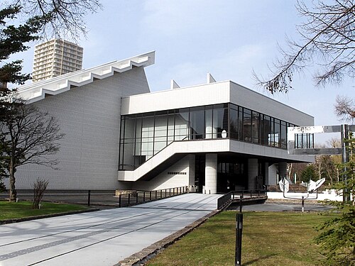
K. Takeda at Japanese Wikipedia / CC BY-SA 3.0
art museumHokkaido Museum of Modern Art
museum in Sapporo, Hokkaido, Japan
Getting there Nearest stop or station Nishi juhatchome, about 5 min on foot OpenStreetMap
 university museum
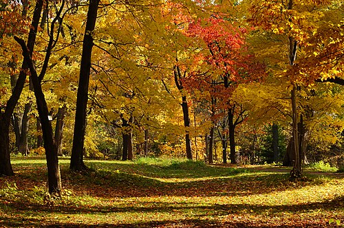
Hokkaido University Botanical Gardens
botanical gardens
Getting there Nearest stop or station Nishi juitchome, about 9 min on foot OpenStreetMap
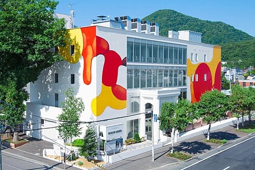 art gallery
Miyanomori International Museum of Art, Sapporo
museum in Japan
Getting there Nearest stop or station Nishi nijuhatchome, about 17 min on foot OpenStreetMap
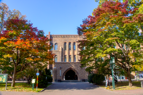 university museum
Hokkaido University Museum
museum in Sapporo, Hokkaido, Japan
Getting there Nearest stop or station Kita juni jo, about 10 min on foot OpenStreetMap
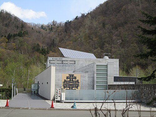
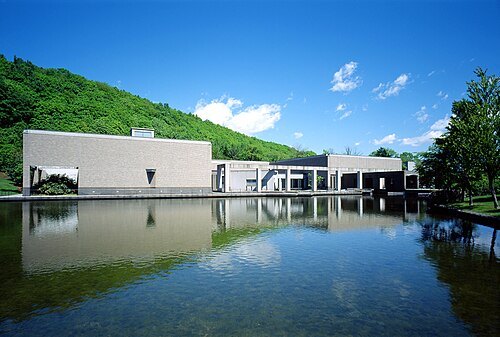
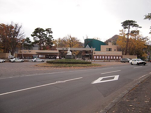 zoo
Sapporo Maruyama Zoo
zoo in Hokkaido, Japan
Getting there Nearest stop or station Maruyama Bus Terminal, about 14 min on foot OpenStreetMap
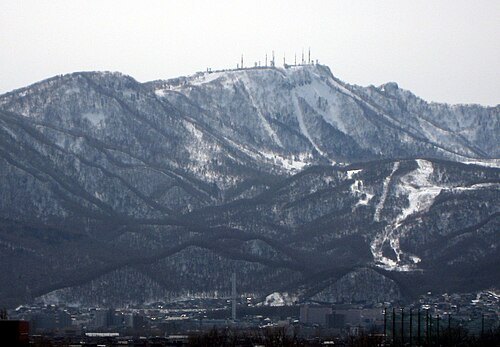
- mountain
Mount Shirahata
mountain in Sapporo, Hokkaido, Japan
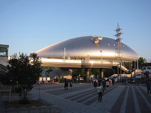 music venue
Sapporo Dome
Multi-purpose stadium in Sapporo, Japan
Getting there Nearest stop or station 札幌ドーム シャトルバスターミナル, about 7 min on foot OpenStreetMap
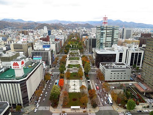 linear park
Odori Park
park in Sapporo, Japan
Getting there Nearest stop or station Nishi hatchome, about 3 min on foot OpenStreetMap
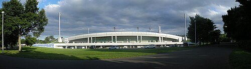
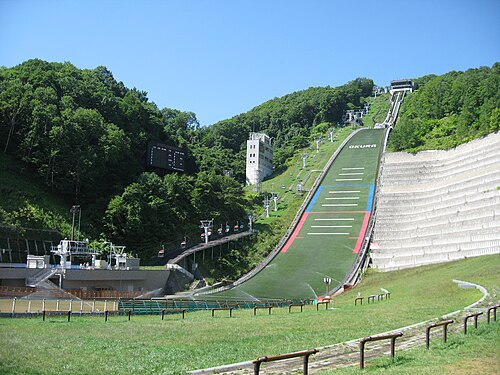
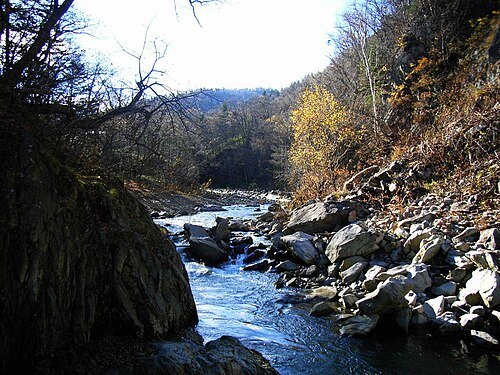
No machine-readable author provided. Kinori assumed (based on copyright claims). / Public domain
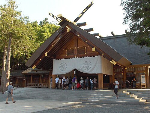 shinto shrine
Hokkaidō Jingū
Shinto shrine in Chūō-ku, Sapporo, Hokkaidō, Japan
Getting there Nearest stop or station Maruyama Bus Terminal, about 12 min on foot OpenStreetMap
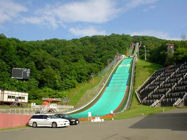
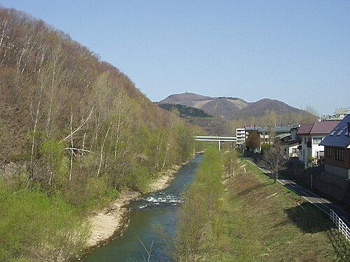
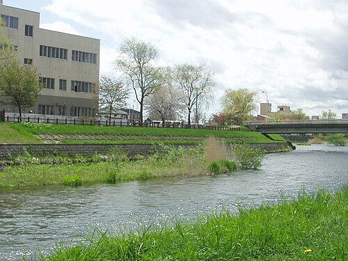
No machine-readable author provided. Kinori assumed (based on copyright claims). / Public domain
riverChitose River
river in Japan
Getting there Nearest stop or station Ebetsu, about 13 min on foot OpenStreetMap
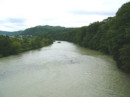
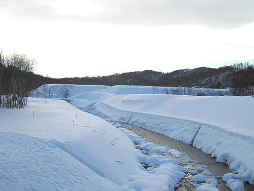
No machine-readable author provided. Kinori assumed (based on copyright claims). / Public domain
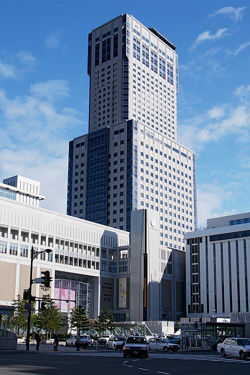 skyscraper
JR Tower
building in Chuo-ku, Hokkaido Prefecture, Japan
Getting there Nearest stop or station Sapporo, about 2 min on foot OpenStreetMap
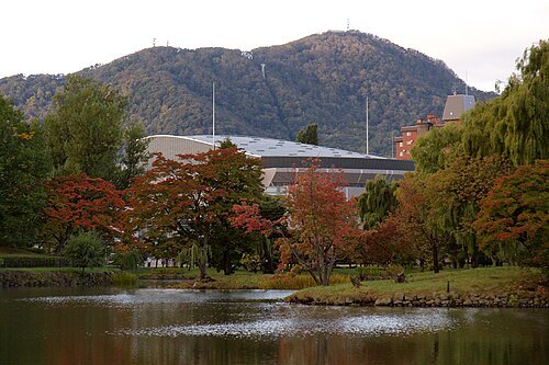 mountain
Mount Moiwa
mountain in Sapporo, Japan
Getting there Nearest stop or station Chufuku, about 4 min on foot OpenStreetMap
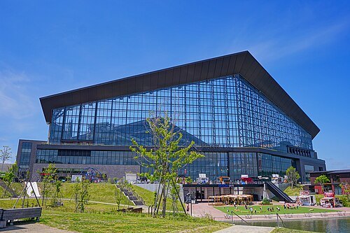
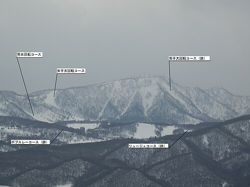 mountain
Mount Teine
mountain in Japan
 horse racing venue
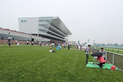
Sapporo Racecourse
racecourse in Sapporo, Hokkaido, Japan
Getting there Nearest stop or station Sōen, about 15 min on foot OpenStreetMap
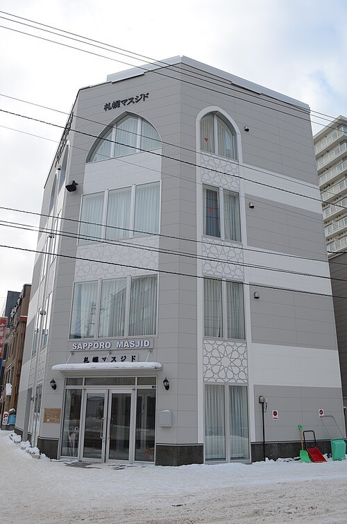 mosque
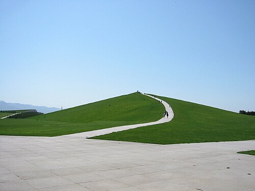
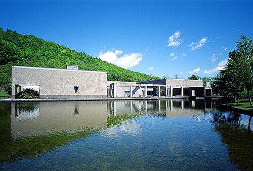
Sapporo Masjid
mosque in Hokkaido, Japan
Getting there Nearest stop or station Kita juni jo, about 5 min on foot OpenStreetMap
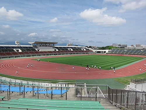 stadium
Sapporo Atsubetsu Park Stadium
building in Atsubetsu-ku, Hokkaido Prefecture, Japan
Getting there Nearest stop or station Oyachi Bus Terminal, about 20 min on foot OpenStreetMap
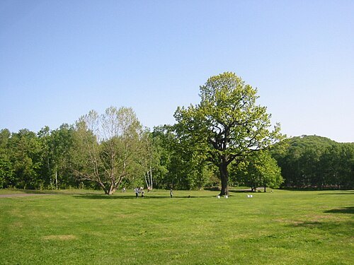
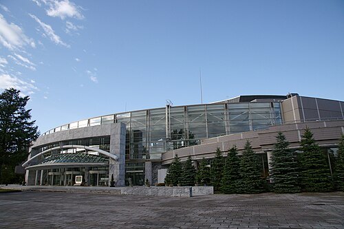 concert hall
Sapporo Concert Hall
building in Sapporo, Hokkaido Prefecture, Japan
Getting there Nearest stop or station Nakajima-Kōen-Dōri, about 4 min on foot OpenStreetMap
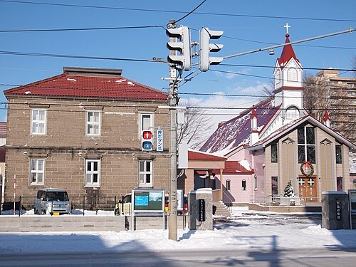 catholic cathedral
Guardian Angels Cathedral, Sapporo
Catholic Church church building in Sapporo, Japan
Getting there Nearest stop or station Bus Center-Mae, about 6 min on foot OpenStreetMap
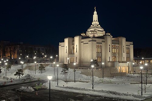
Tomoyuki Miyauchi / CC BY-SA 4.0
templeSapporo Japan Temple
LDS temple in Sapporo, Japan
Getting there Nearest stop or station Oyachi Bus Terminal, about 11 min on foot OpenStreetMap
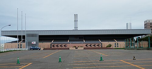 sports venue
Tsukisamu Gymnasium
sports facility in Sapporo, Japan
Getting there Nearest stop or station Tsukisamu-Chuo, about 3 min on foot OpenStreetMap
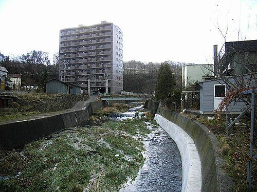
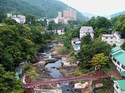
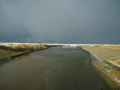 river
Hoshioki River
river in Japan
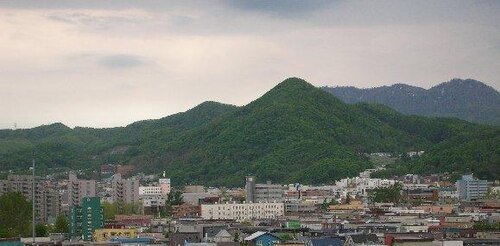 mountain
Mount Sankaku
mountain in Sapporo, Hokkaido, Japan
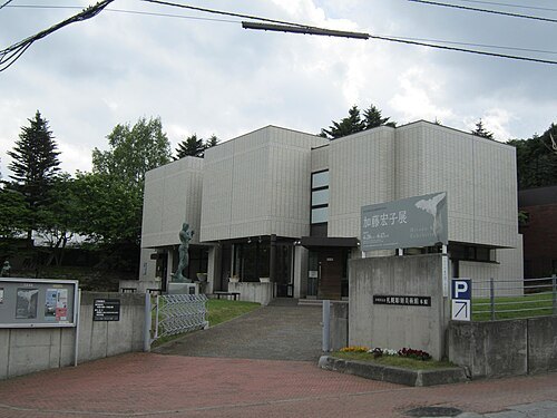 biographical museum
Hongō Shin Memorial Museum of Sculpture, Sapporo
art museum in Sapporo, Hokkaido, Japan
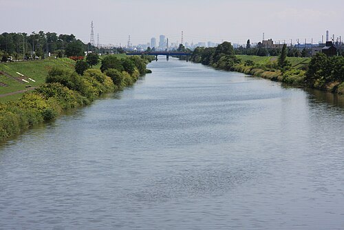 river
Shin River
river in Hokkaido Prefecture, Japan
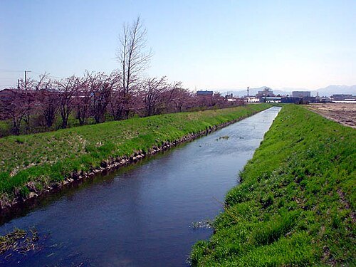 river
Fushiko River
river in Japan
Getting there Nearest stop or station Shinoro, about 9 min on foot OpenStreetMap
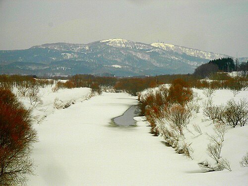 river
Tōbetsu River
river in Japan
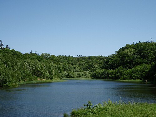
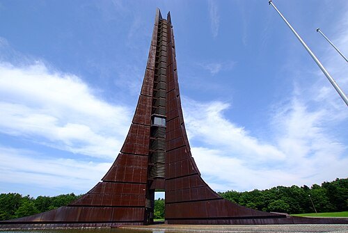 tower
Centennial Memorial Tower
Getting there Nearest stop or station Shinrin-Kōen, about 19 min on foot OpenStreetMap
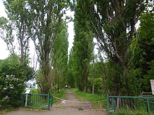 avenue
Hokkaido University poplar avenue
path in Hokkaido University lined with poplar trees
Getting there Nearest stop or station Sōen, about 9 min on foot OpenStreetMap
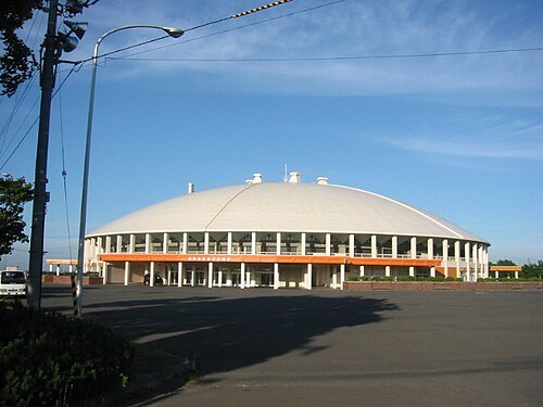 arena
Tsukisamu Dome
building in Sapporo, Hokkaido Prefecture, Japan
Getting there Nearest stop or station Fukuzumi, about 16 min on foot OpenStreetMap
- national government park
Takino Suzuran Hillside National Government Park
national government park in Sapporo, Hokkaido, Japan
- valley
Jōzankei
- mountain
Mount Kannon-iwa
- river
Kitanosawa River
river in Sapporo City, Hokkaido, Japan


Places to eat
- restaurant
海へ
Food: japanese, seafood, fish
- restaurant
mon-ichi
Food: 創作料理
- cafe
Café 倫敦館
Food: coffee shop
Nothing here matches that. Clear a filter and try again.
Opening hours and tickets: OpenStreetMap contributors. Each one shows the day a volunteer last wrote it down, so check the official site before you set out.