Okayama: what to see and where to eat

Everything below comes from open data and each row says where it came from. We have not been to any of these places and we do not rank them.

720,043 people live here

Nearest airport: Okayama Airport (OKJ), about 12.77 km from the centre

Distances are straight-line and the walking time is an estimate, not a route.

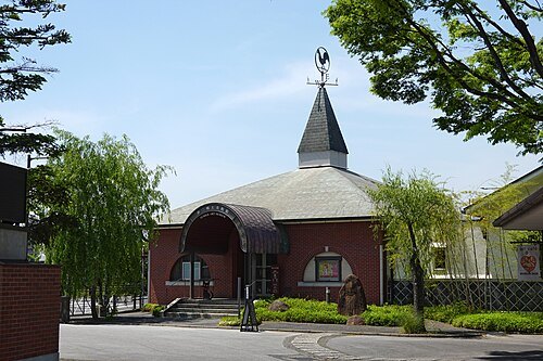
Filters

Things to see

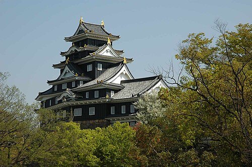
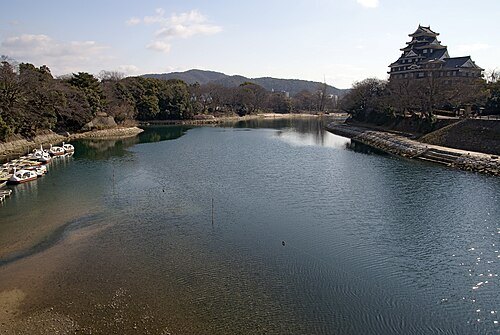
  • Okayama Castle

    by Reggaeman / CC BY-SA 3.0

    japanese castle

    Okayama Castle

    Japanese castle in Kita-ku, Okayama, Japan

    Mo-Su 09:00-17:30; Dec 29-Dec 31 off OpenStreetMap, written 2025-01-22

    Ticket needed OpenStreetMap, written 2025-01-22

    Getting there Nearest stop or station 宇野バス表町バスセンター, about 11 min on foot OpenStreetMap
    Map

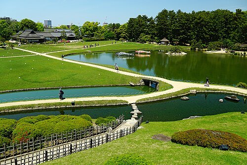
  • Kōraku-en

    663highland / CC BY-SA 4.0

    arts venue

    Kōraku-en

    park

    Mar 20-Sep 30 Mo-Su 07:30-18:00; Oct 01 - Mar 19 Mo-Su 08:00-17:00 OpenStreetMap, written 2025-04-03

    Ticket needed OpenStreetMap, written 2025-04-03

    Getting there Nearest stop or station 宇野バス表町バスセンター, about 13 min on foot OpenStreetMap
    Map

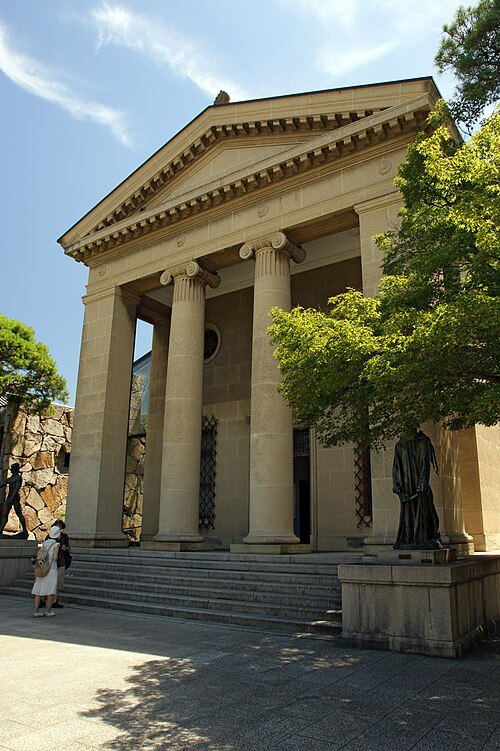
  • Ohara Museum of Art

    663highland / CC BY 2.5

    art museum

    Ohara Museum of Art

    art museum in Kurashiki, Okayama, Japan

    Mo-Su 09:00-17:00 OpenStreetMap, written 2025-01-30

    Admission Not checked

    Getting there Nearest stop or station 倉敷駅バスターミナル, about 11 min on foot OpenStreetMap
    About 15 km from the city centre

    Map

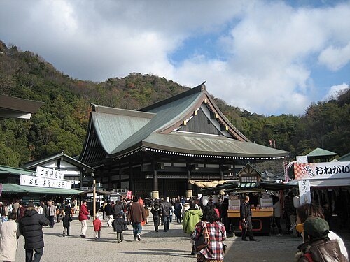
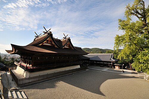
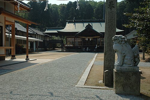
  • Kibitsu Shrine

    Reggaeman / CC BY-SA 3.0

    shinto shrine

    Kibitsu Shrine

    Shinto shrine in Kibitsu, Kita-ku, Okayama, Japan

    Opening hours Not checked

    Admission Not checked

    Getting there Nearest stop or station 吉備津, about 9 min on foot OpenStreetMap
    Map

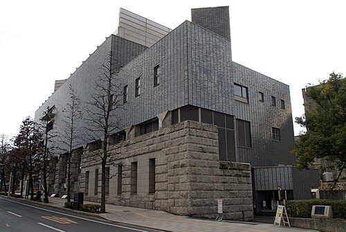
  • Okayama Prefectural Museum of Art

    663highland / CC BY 2.5

    art museum

    Okayama Prefectural Museum of Art

    art museum in Okayama, Okayama, Japan

    Opening hours Not checked

    Admission Not checked

    Getting there Nearest stop or station 天満屋バスステーション, about 11 min on foot OpenStreetMap
    Map

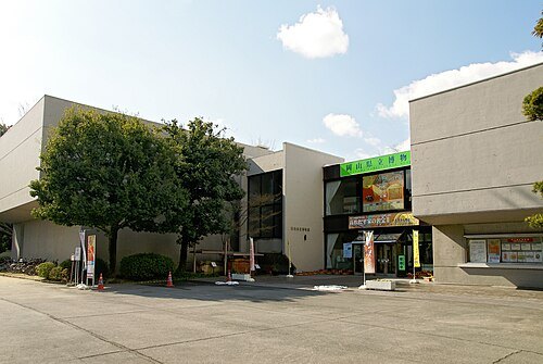
  • Okayama Prefectural Museum

    663highland / CC BY 2.5

    history museum

    Okayama Prefectural Museum

    museum in Okayama, Okayama, Japan

    Opening hours Not checked

    Admission Not checked

    Getting there Nearest stop or station 宇野バス表町バスセンター, about 13 min on foot OpenStreetMap
    Map

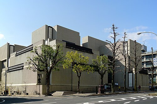
  • Okayama Orient Museum

    663highland / CC BY-SA 4.0

    art museum

    Okayama Orient Museum

    museum in Okayama, Okayama, Japan

    Tu-Su 09:00-17:00; Mo off OpenStreetMap, written 2025-10-16

    Admission Not checked

    Getting there Nearest stop or station 天満屋バスステーション, about 8 min on foot OpenStreetMap
    Map

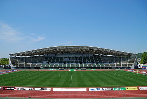
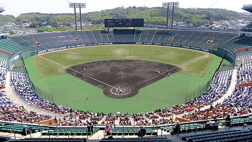
  • Muscat Stadium

    Tatushin / Public domain

    stadium

    Muscat Stadium

    Japanese baseball stadium

    Mo-Su 09:00-21:00 OpenStreetMap, written 2019-06-15

    Admission Not checked

    Getting there Nearest stop or station Nakashō, about 11 min on foot OpenStreetMap
    About 11 km from the city centre

    Map

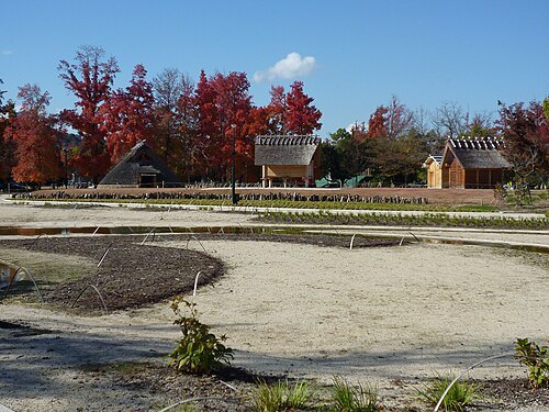
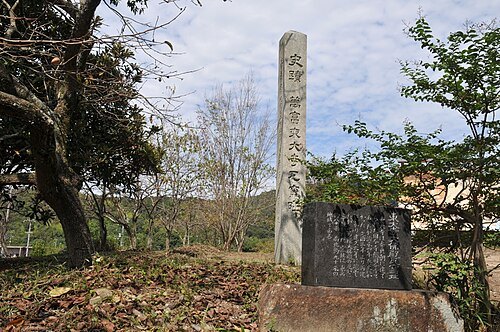
  • Mantomi Todaiji Gayo Site

    Reggaeman / CC BY-SA 3.0

    archaeological site

    Mantomi Todaiji Gayo Site

    archaeological site in Japan

    Opening hours Not checked

    Admission Not checked

    About 19 km from the city centre

    Map

  • Hayashibara Museum of Art

    Daderot / Public domain

    art museum

    Hayashibara Museum of Art

    art museum in Okayama, Okayama, Japan

    Opening hours Not checked

    Admission Not checked

    Getting there Nearest stop or station 宇野バス表町バスセンター, about 6 min on foot OpenStreetMap
    Map

  • Yumeji Art Museum

    663highland / CC BY-SA 4.0

    biographical museum

    Yumeji Art Museum

    museum in Okayama, Okayama, Japan

    Tu-Su 09:00-17:00 OpenStreetMap, written 2025-04-12

    Admission Not checked

    Getting there Nearest stop or station Nishigawara, about 15 min on foot OpenStreetMap
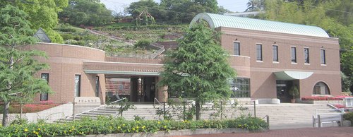
    Map

  • Handayama Botanical Garden

    Mutsumi TOYOTA / CC BY-SA 3.0

    botanical garden

    Handayama Botanical Garden

    botanical garden in Okayama, Japan

    Mo-Su 09:00-16:30 OpenStreetMap, written 2023-12-18

    Admission Not checked

    Getting there Nearest stop or station Hōkaiin, about 15 min on foot OpenStreetMap
    Map

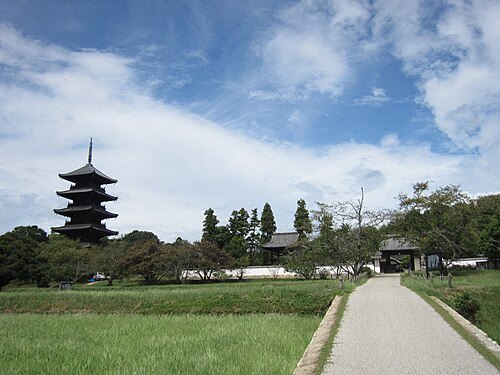
  • Bitchū Kokubun-ji Temple

    Saigen Jiro / CC0

    buddhist temple

    Bitchū Kokubun-ji Temple

    bouddhist temple in Sōja, Japan

    Opening hours Not checked

    Admission Not checked

    About 13 km from the city centre

    Map

  • kofun

    Tsukuriyama Kofun

    kofun in Okayama, Japan

    Opening hours Not checked

    Admission Not checked

    About 14 km from the city centre

    Map

  • sōhō-chūen kofun

    Tatetsuki Site

    Yayoi period burial mound

    Opening hours Not checked

    Admission Not checked

    About 9 km from the city centre

    Map

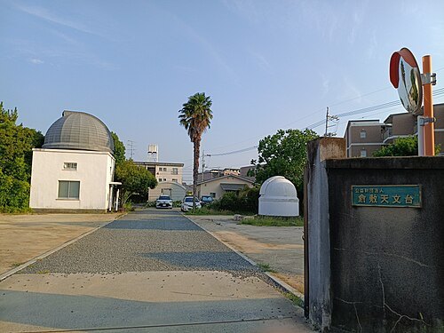
  • Kurashiki Observatory

    あかしょうびん / CC BY-SA 4.0

    astronomical observatory

    Kurashiki Observatory

    Opening hours Not checked

    Admission Not checked

    Getting there Nearest stop or station 倉敷駅バスターミナル, about 14 min on foot OpenStreetMap

    About 15 km from the city centre

    Map

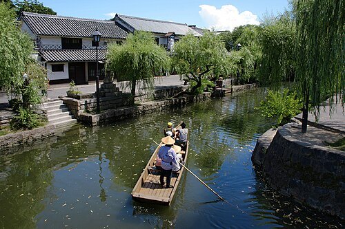
  • Kurashiki Bikan Historical Quarter

    663highland / CC BY-SA 4.0

    historic district

    Kurashiki Bikan Historical Quarter

    Opening hours Not checked

    Admission Not checked

    Getting there Nearest stop or station 倉敷駅バスターミナル, about 11 min on foot OpenStreetMap

    About 15 km from the city centre

    Map

  • scallop-shaped kofun

    Ryoguzan Kofun

    5th century burial mound in Awaiwa, Okayama Prefecture, Japan

    Opening hours Not checked

    Admission Not checked

    About 12 km from the city centre

    Map

  • kofun

    Urama Chausuyama Kofun

    kofun period burial mound in Higashi-ku, Okayama, Japan

    Opening hours Not checked

    Admission Not checked

    About 15 km from the city centre

    Map

  • circular kofun

    Musa Otsuka Kofun

    kofun in Okayama Prefecture, Japan

    Opening hours Not checked

    Admission Not checked

    About 9 km from the city centre

    Map

  • Saijō Inari

    by Reggaeman / CC BY-SA 3.0

    buddhist temple

    Saijō Inari

    bouddhist temple in Okayama, Japan

    Opening hours Not checked

    Admission Not checked

    About 10 km from the city centre

    Map

  • Tsushima Site

    Fjkelfeimvvn / CC BY 3.0

    archaeological site

    Tsushima Site

    archaeological site in Japan

    Opening hours Not checked

    Admission Not checked

    Getting there Nearest stop or station Hōkaiin, about 19 min on foot OpenStreetMap

    Map

  • Asahi River

    663highland / CC BY 2.5

    river

    Asahi River

    river in Japan

    Opening hours Not checked

    Admission Not checked

    Map

  • Kanko Stadium

    Kanko3131 / Public domain

    stadium

    Kanko Stadium

    building in Kita-ku, Okayama Prefecture, Japan

    Opening hours Not checked

    Admission Not checked

    Getting there Nearest stop or station Hōkaiin, about 13 min on foot OpenStreetMap

    Map

  • island

    Inujima

    island in Seto Inland Sea, Japan

    Opening hours Not checked

    Admission Not checked

    About 20 km from the city centre

    Map

  • Yoshii River

    by Reggaeman / CC BY-SA 3.0

    river

    Yoshii River

    river in Japan

    Opening hours Not checked

    Admission Not checked

    About 12 km from the city centre

    Map

  • Takamatsu Castle

    by Reggaeman / CC BY-SA 3.0

    hirajiro

    Takamatsu Castle

    castle in Okayama prefecture, Japan

    Opening hours Not checked

    Admission Not checked

    Getting there Nearest stop or station Bitchū-Takamatsu, about 11 min on foot OpenStreetMap

    About 10 km from the city centre

    Map

  • Ishima

    小池 隆 / CC BY 3.0

    island

    Ishima

    island in Kagawa and Okayama, Japan

    Opening hours Not checked

    Admission Not checked

    About 20 km from the city centre

    Map

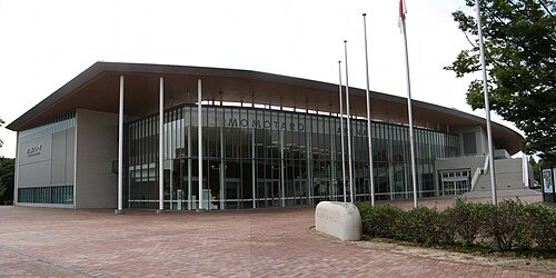
  • Momotaro Arena

    Shinjom / CC BY-SA 3.0

    arena

    Momotaro Arena

    building in Okayama Prefecture, Japan

    Opening hours Not checked

    Admission Not checked

    Getting there Nearest stop or station Hōkaiin, about 15 min on foot OpenStreetMap
    Map

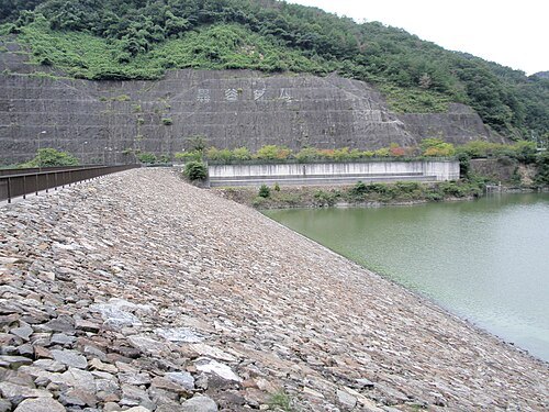
  • Kurodani Dam

    Phronimosx / CC BY-SA 3.0

    dam

    Kurodani Dam

    dam in Okayama Prefecture, Japan

    Opening hours Not checked

    Admission Not checked

    About 19 km from the city centre

    Map

  • Fukuyama Castle (Sōja)

    by Reggaeman / CC BY-SA 3.0

    japanese castle

    Fukuyama Castle (Sōja)

    Japanese castle

    Opening hours Not checked

    Admission Not checked

    About 15 km from the city centre

    Map

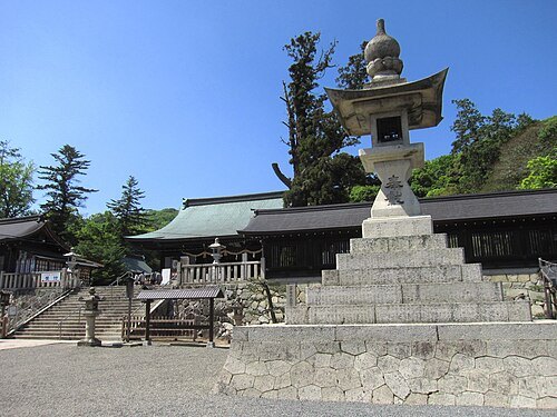
  • Bizen-no-Kuni Sōjagū

    Saigen Jiro / CC0

    shinto shrine

    Bizen-no-Kuni Sōjagū

    Shinto shrine in Naka-ku, Okayama, Japan

    Opening hours Not checked

    Admission Not checked

    Getting there Nearest stop or station Bizen-Hara, about 16 min on foot OpenStreetMap
    Map

  • Kibitsuhiko Shrine

    Saigen Jiro / CC0

    shinto shrine

    Kibitsuhiko Shrine

    Shinto shrine in Kita-ku, Okayama, Japan

    Opening hours Not checked

    Admission Not checked

    Getting there Nearest stop or station Bizen-Ichinomiya, about 4 min on foot OpenStreetMap
    Map

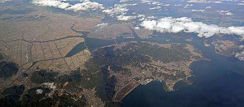
  • Kojima Peninsula

    z tanuki / CC BY 3.0

    peninsula

    Kojima Peninsula

    peninsula in Okayama Prefecture, Japan

    Opening hours Not checked

    Admission Not checked

    About 17 km from the city centre

    Map

  • Kojima Bay

    Bakkai / CC BY-SA 3.0

    bay

    Kojima Bay

    Opening hours Not checked

    Admission Not checked

    Map

  • Okayama Symphony Hall

    663highland / CC BY 2.5

    concert hall

    Okayama Symphony Hall

    building in Kita-ku, Okayama Prefecture, Japan

    Opening hours Not checked

    Admission Not checked

    Getting there Nearest stop or station 天満屋バスステーション, about 6 min on foot OpenStreetMap
    Map

  • kofun

    Tsukuriyama Ancient Burial Mound

    mound in Okayama, Japan

    Opening hours Not checked

    Admission Not checked

    About 11 km from the city centre

    Map

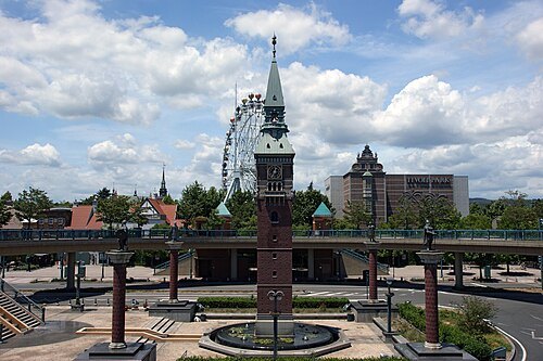
  • Kurashiki Tivoli Park

    663highland / CC BY 2.5

    theme park

    Kurashiki Tivoli Park

    a theme park modeled after Copenhagen's Tivoli Park. Opened in 1997 and closed in 2008.

    Opening hours Not checked

    Admission Not checked

    Getting there Nearest stop or station 倉敷駅北口バスのりば, about 2 min on foot OpenStreetMap
    About 15 km from the city centre

    Map

  • Mount Tsurugata

    Wiki591801 / CC BY-SA 3.0

    mountain

    Mount Tsurugata

    Opening hours Not checked

    Admission Not checked

    Getting there Nearest stop or station 倉敷駅バスターミナル, about 12 min on foot OpenStreetMap
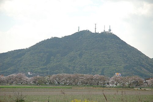
    About 15 km from the city centre

    Map

  • Mount Tsune

    by Reggaeman / CC BY-SA 3.0

    mountain

    Mount Tsune

    mountain in Minami-ku, Okayama and Tamano, Okayama prefecture, Japan

    Opening hours Not checked

    Admission Not checked

    Getting there Nearest stop or station Tsuneyama, about 14 min on foot OpenStreetMap
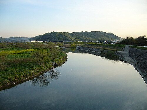
    About 15 km from the city centre

    Map

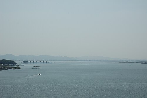
  • Odagawa River

    Bakkai / CC BY-SA 3.0

    river

    Odagawa River

    river in Hiroshima and Okayama, Japan
    Opening hours Not checked

    Admission Not checked

    About 18 km from the city centre

    Map

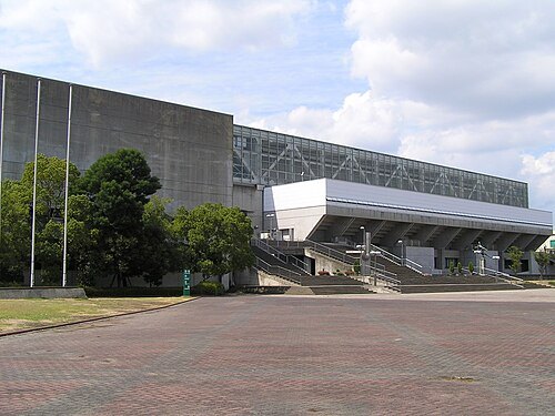
  • Okayama General and Cultural Gymnasium

    Tatushin / CC BY-SA 3.0

    arena

    Okayama General and Cultural Gymnasium

    sporting Arena in Urayasu General Park East Area, Minami-ku, Okayama, Japan
    Opening hours Not checked

    Admission Not checked

    Map

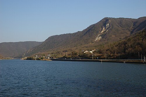
  • Lake Kojima

    by Reggaeman / CC BY-SA 3.0

    artificial lake

    Lake Kojima

    lake in Japan
    Opening hours Not checked

    Admission Not checked

    About 8 km from the city centre

    Map

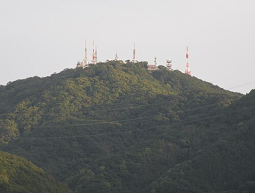
  • Mount Kinkō

    icecake / Public domain

    mountain

    Mount Kinkō

    mountain in Minami-ku, Okayama and Tamano, Okayama prefecture, Japan
    Opening hours Not checked

    Admission Not checked

    About 11 km from the city centre

    Map

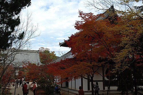
  • Ani Shrine

    by Reggaeman / CC BY-SA 3.0

    shinto shrine

    Ani Shrine

    Shinto shrine in Okayama Prefecture, Japan
    Opening hours Not checked

    Admission Not checked

    About 17 km from the city centre

    Map

  • Iyama Hōfuku-ji Temple

    by Reggaeman / CC BY-SA 3.0

    buddhist temple

    Iyama Hōfuku-ji Temple

    Buddhist temple in Okayama prefecture, Japan

    Opening hours Not checked

    Admission Not checked

    About 17 km from the city centre

    Map

  • Hyakken Gawa

    by Reggaeman / CC BY-SA 3.0

    canal

    Hyakken Gawa

    river in Japan

    Opening hours Not checked

    Admission Not checked

    Map

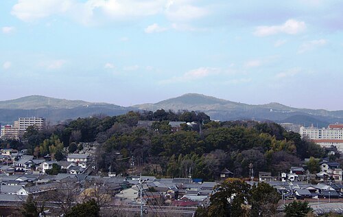
  • Mount Kami

    Kuroshio no Neko / CC BY 4.0

    mountain

    Mount Kami

    sacred mountain in Okayama, Japan

    Opening hours Not checked

    Admission Not checked

    About 16 km from the city centre

    Map

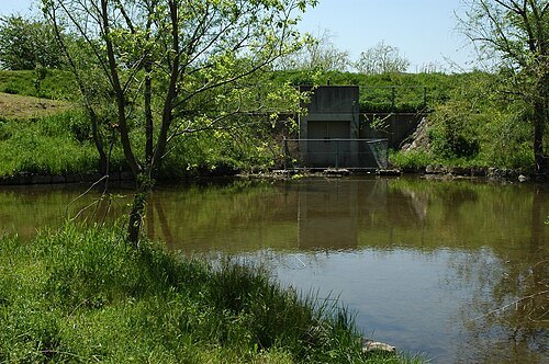
  • historic site

    Odara-Yosemiya site

    Shinto shrine in Okayama Prefecture, Japan
    Opening hours Not checked

    Admission Not checked

    Getting there Nearest stop or station Ōdara, about 7 min on foot OpenStreetMap

    About 8 km from the city centre

    Map

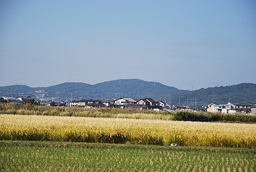
  • historic site

    Hatahaiji Ruins

    temple in Naka-ku, Okayama

    Opening hours Not checked

    Admission Not checked

    Getting there Nearest stop or station Takashima, about 6 min on foot OpenStreetMap
    Map

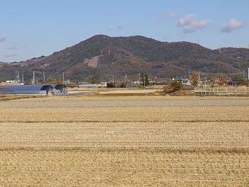
  • Mount Misao

    Reggaeman / CC BY-SA 3.0

    mountain

    Mount Misao

    mountain in Naka-ku, Okayama, Japan
    Opening hours Not checked

    Admission Not checked

    Map

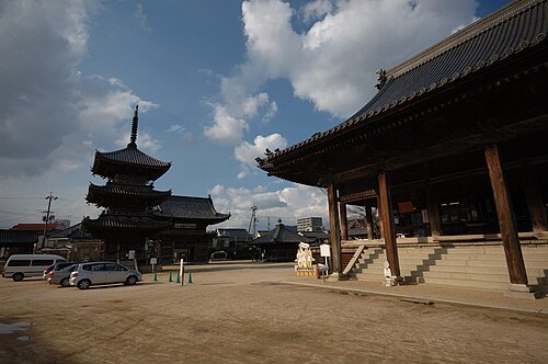
  • Mount Keshigo

    Reggaeman / CC BY-SA 3.0

    mountain

    Mount Keshigo

    mountain in Higashi-ku, Okayama, Okayama prefecture, Japan

    Opening hours Not checked

    Admission Not checked

    Getting there Nearest stop or station Ōdara, about 16 min on foot OpenStreetMap
    About 9 km from the city centre

    Map

  • Saidai-ji Temple

    by Reggaeman / CC BY-SA 3.0

    buddhist temple

    Saidai-ji Temple

    Buddhist temple in Okayama, Japan

    Opening hours Not checked

    Admission Not checked

    Getting there Nearest stop or station 両備バス西大寺バスセンター, about 12 min on foot OpenStreetMap

    About 11 km from the city centre

    Map

  • japanese castle

    Kameyama Castle

    castle in Okayama, Japan

    Opening hours Not checked

    Admission Not checked

    About 12 km from the city centre

    Map

  • historic site

    Bizen Kokubun-ji Temple

    temple in Akaiwa, Okayama

    Opening hours Not checked

    Admission Not checked

    About 12 km from the city centre

    Map

  • archaeological site

    Kadota Shell Mound

    archaeological site in Japan

    Opening hours Not checked

    Admission Not checked

    Getting there Nearest stop or station Oku, about 6 min on foot OpenStreetMap

    About 16 km from the city centre

    Map

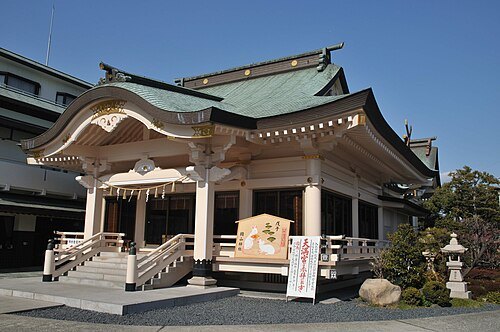
  • buddhist temple

    Yokei-ji Temple

    Buddhist temple dedicated to Thousand-Armed Thousand-Eyed Avalokiteśvara in Setouchi, Japan

    Opening hours Not checked

    Admission Not checked

    Getting there Nearest stop or station Ōdomi, about 18 min on foot OpenStreetMap
    About 13 km from the city centre

    Map

  • japanese castle

    Ōmeguri-Komeguri Mountain Castle

    castle in Japan

    Opening hours Not checked

    Admission Not checked

    About 12 km from the city centre

    Map

  • Okayama Shrine

    by Reggaeman / Public domain

    shinto shrine

    Okayama Shrine

    Shinto shrine in Okayama Prefecture, Japan

    Opening hours Not checked

    Admission Not checked

    Map

  • Okayama-ji Temple

    Reggaeman / CC BY-SA 3.0

    buddhist temple

    Okayama-ji Temple

    temple in Kita-ku, Ōsaka

    Opening hours Not checked

    Admission Not checked

    Map

Places to eat

Opening hours and tickets: OpenStreetMap contributors. Each one shows the day a volunteer last wrote it down, so check the official site before you set out.

Nothing picked yet
    Add a place that is not listed here

    One per line. Pasting a list works too.

    Japan