Nagoya: what to see and where to eat
Everything below comes from open data and each row says where it came from. We have not been to any of these places and we do not rank them.
Filters
Things to see
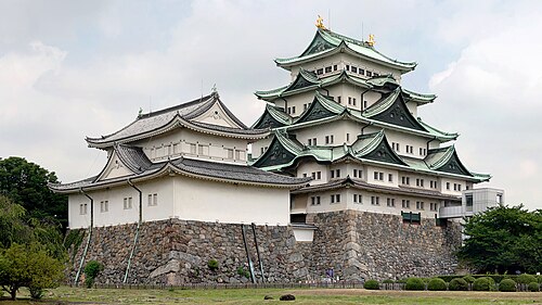 japanese castle
Nagoya Castle
Japanese castle located in Nagoya, central Japan
Getting there Nearest stop or station Nagoyajo, about 12 min on foot OpenStreetMap
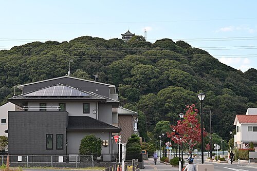
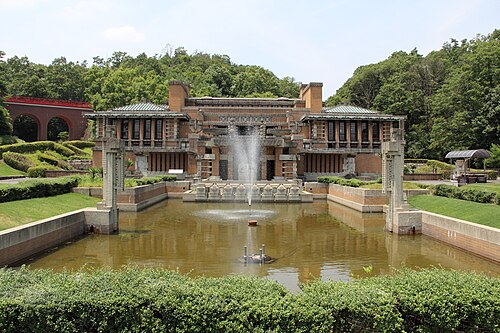 history museum
Museum Meiji-mura
open-air museum in Japan
Getting there Nearest stop or station SL名古屋駅, about 3 min on foot OpenStreetMap
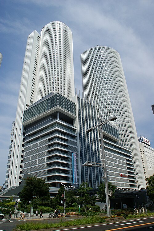 skyscraper
JR Central Towers
building in Nagoya, Aichi Prefecture, Japan
Getting there Nearest stop or station 名古屋駅, about 2 min on foot OpenStreetMap
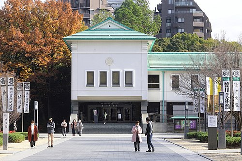 art museum
Tokugawa Art Museum
art museum in Nagoya City, Aichi, Japan
Getting there Nearest stop or station Morishita, about 10 min on foot OpenStreetMap
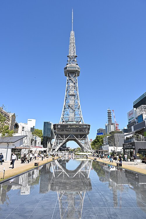 television tower
Nagoya TV Tower
Television tower in Japan
Getting there Nearest stop or station Hisaya-odori, about 2 min on foot OpenStreetMap
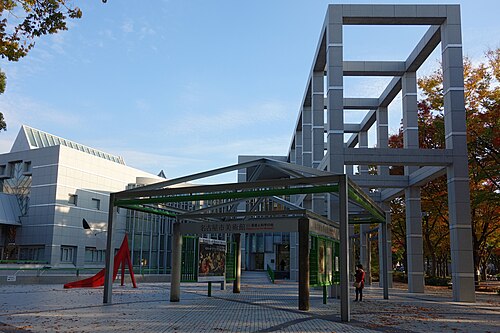
Oilstreet (talk) / CC BY-SA 3.0
art museumNagoya City Art Museum
art museum in Nagoya City, Aichi, Japan
Getting there Nearest stop or station Ōsu Kannon, about 6 min on foot OpenStreetMap
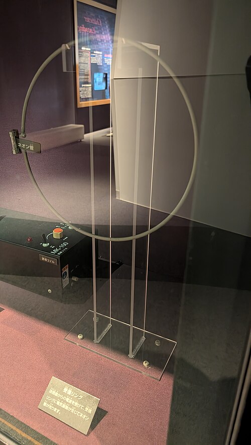 science museum
Nagoya City Science Museum
science museum in Nagoya, Japan
Getting there Nearest stop or station Ōsu Kannon, about 6 min on foot OpenStreetMap
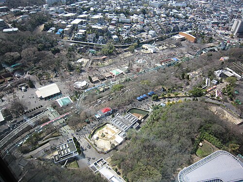 botanical garden
Higashiyama Zoo and Botanical Gardens
municipal zoo and botanical garden in Chikusa-ku, Nagoya
Getting there Nearest stop or station Higashiyama Kōen (Higashiyama Park), about 8 min on foot OpenStreetMap
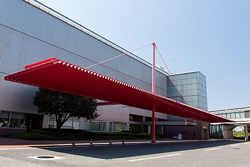 corporate museum
Toyota Automobile Museum
science museum in Aichi, Japan
Getting there Nearest stop or station Geidai-dōri, about 4 min on foot OpenStreetMap
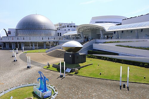 public aquarium
Port of Nagoya Public Aquarium
aquarium in Minato-ku, Nagoya, Aichi Prefecture, Japan
Getting there Nearest stop or station ガーデンふ頭, about 3 min on foot OpenStreetMap
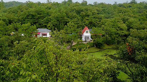 theme park
Ghibli Park
Park facility in Aichi Prefecture, Japan, themed with Studio Ghibli films
Getting there Nearest stop or station Aichikyūhaku-kinen-kōen, about 9 min on foot OpenStreetMap
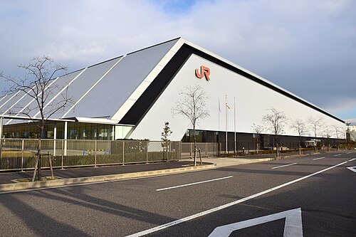 railway museum
SCMaglev and Railway Park
railway museum in Nagoya, Japan
Getting there Nearest stop or station 金城ふ頭, about 2 min on foot OpenStreetMap
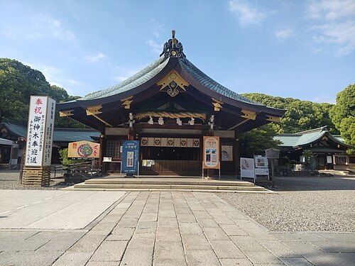 shinto shrine
Masumida Shrine
Shinto shrine in Ichinomiya, Aichi prefecture, Japan
Getting there Nearest stop or station Owari-Ichinomiya, about 11 min on foot OpenStreetMap
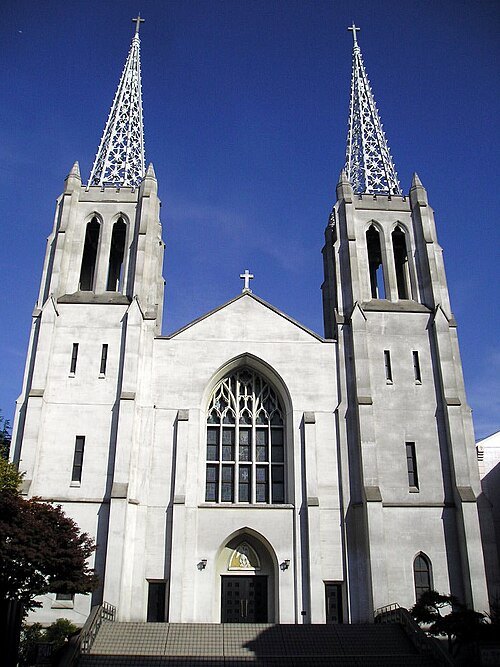 catholic cathedral
Nunoike Church
Roman Catholic cathedral in Japan
Getting there Nearest stop or station Shinsakae-machi, about 6 min on foot OpenStreetMap
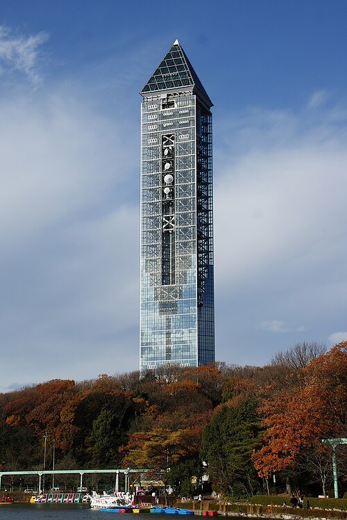 observation tower
Higashiyama Sky Tower
building in Nagoya, Aichi Prefecture, Japan
Getting there Nearest stop or station Higashiyama Kōen (Higashiyama Park), about 11 min on foot OpenStreetMap
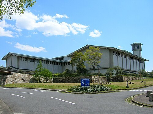 ceramics museum
Aichi Prefectural Ceramic Museum
museum in Seto city, Aichi, Japan
Getting there Nearest stop or station Tōji-shiryōkan-minami, about 11 min on foot OpenStreetMap
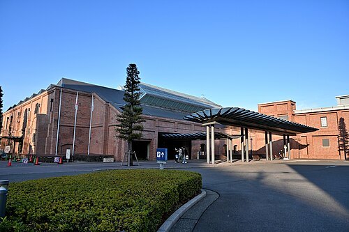 technology museum
Toyota Commemorative Museum of Industry and Technology
technology museum in Nagoya, Japan
Getting there Nearest stop or station Sakō, about 4 min on foot OpenStreetMap
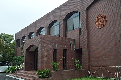
Asturio Cantabrio / CC BY-SA 4.0
art museumShowa Museum of Art
museum in Nagoya City, Aichi, Japan
Getting there Nearest stop or station Irinaka, about 11 min on foot OpenStreetMap
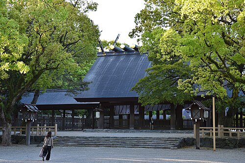 shinto shrine
Atsuta Jingū
Shinto shrine in Aichi Prefecture, Japan
Getting there Nearest stop or station Atsuta Jingu Nishi, about 4 min on foot OpenStreetMap
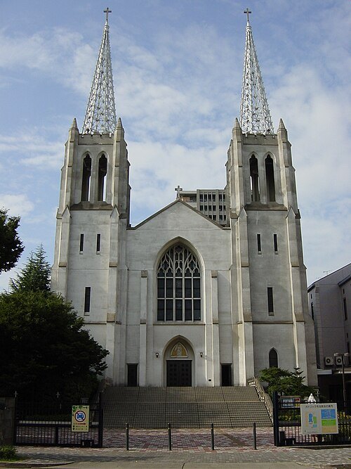
joker in the dark knight / CC BY-SA 3.0
diocese of the catholic churchRoman Catholic Diocese of Nagoya
diocese of the Catholic Church
Getting there Nearest stop or station Shinsakae-machi, about 6 min on foot OpenStreetMap
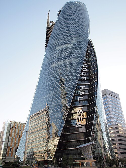 skyscraper
Mode Gakuen Spiral Towers
building in Nagoya, Aichi Prefecture, Japan
Getting there Nearest stop or station Meitetsu bus center, about 3 min on foot OpenStreetMap
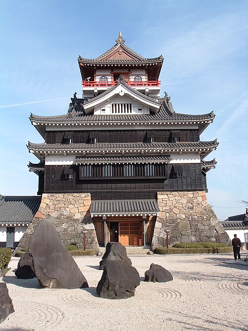
de:Benutzer:Oliver Mayer / CC BY-SA 3.0
japanese castleKiyosu Castle
Japanese castle located in Kiyosu, eastern Aichi Prefecture, Japan
Getting there Nearest stop or station Shin-Kiyosu, about 16 min on foot OpenStreetMap
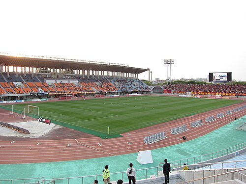 stadium
Mizuho Athletic Stadium
stadium
Getting there Nearest stop or station Mizuho Undojo Higashi, about 6 min on foot OpenStreetMap
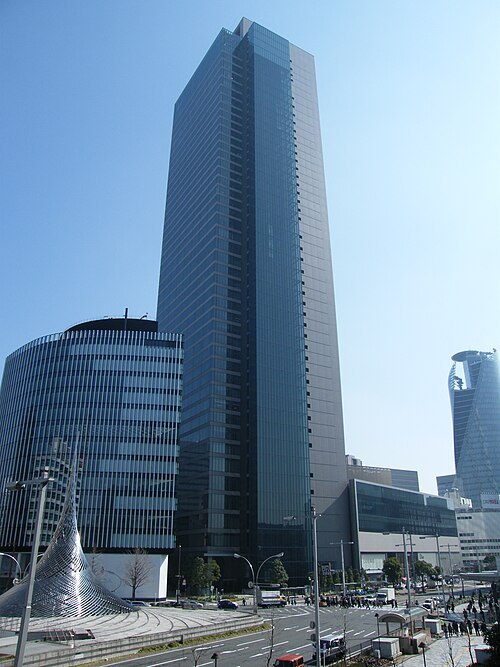
K-star(投稿者自身)による撮影 / CC BY-SA 3.0
skyscraperMidland Square
skyscraper in the Meieki 4-chōme, Nakamura-ku, Nagoya, Japan
Getting there Nearest stop or station Nagoya, about 2 min on foot OpenStreetMap
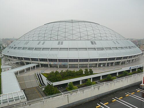
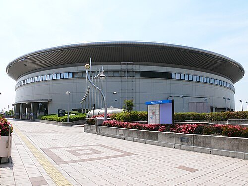 arena
Nippon Gaishi Hall
arena in Nagoya, Aichi Prefecture, Japan
Getting there Nearest stop or station Kasadera, about 4 min on foot OpenStreetMap
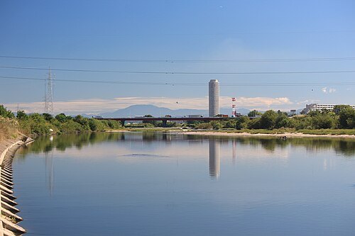
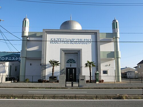
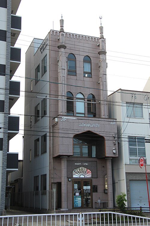 mosque
Nagoya Mosque
mosque in Japan
Getting there Nearest stop or station Honjin, about 6 min on foot OpenStreetMap
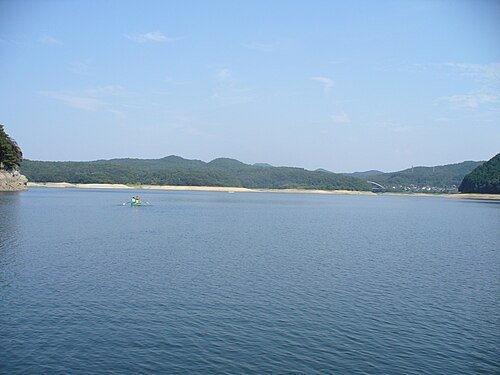 lake
Lake Iruka
lake in Inuyama, Chūbu region, Japan
Getting there Nearest stop or station SL名古屋駅, about 11 min on foot OpenStreetMap
- canal
Hori River
river in Nagoya City, Aichi, Japan
Getting there Nearest stop or station Nagoyakō, about 10 min on foot OpenStreetMap
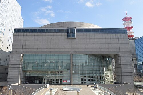
Asturio Cantabrio / CC BY-SA 4.0
cultural centerAichi Arts Center
building in Nagoya City, Aichi, Japan
Getting there Nearest stop or station Oasis 21, about 2 min on foot OpenStreetMap
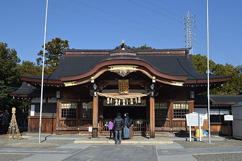
Asturio Cantabrio / CC BY-SA 4.0
shinto shrineTagata Shrine
Shinto shrine in Aichi Prefecture, Japan
Getting there Nearest stop or station Tagatajinja-mae, about 5 min on foot OpenStreetMap
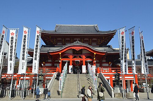
- skyscraper
Nagoya Lucent Tower
Tower
Getting there Nearest stop or station Nagoya Station Bus Terminal, about 5 min on foot OpenStreetMap
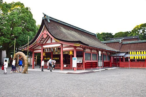
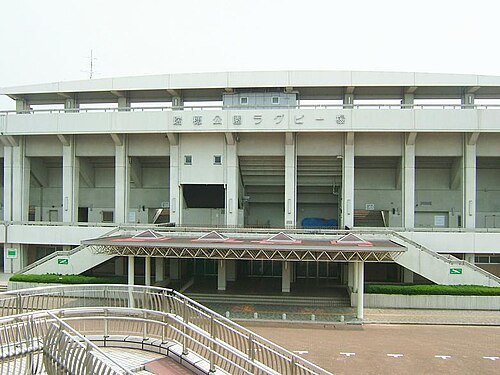 rugby union venue
Mizuho Rugby Stadium
building in Nagoya, Aichi Prefecture, Japan
Getting there Nearest stop or station 新瑞橋バスターミナル, about 9 min on foot OpenStreetMap
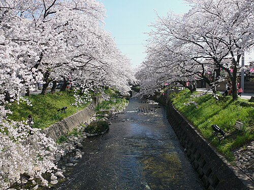 river
Gojō River
river flowing through Gifu and Aichi prefectures in Japan
Getting there Nearest stop or station Shinkawa-Bashi, about 20 min on foot OpenStreetMap
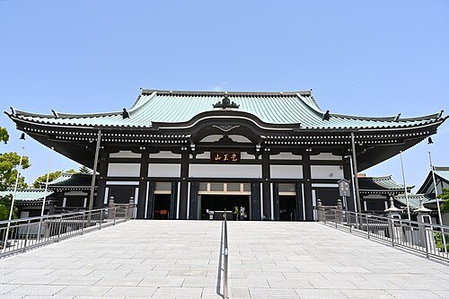 buddhist temple
Nittai-ji Temple
building in Chikusa-ku, Aichi Prefecture, Japan
Getting there Nearest stop or station Kakuōzan, about 9 min on foot OpenStreetMap
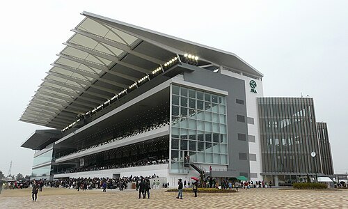 horse racing venue
Chukyo Racecourse
Horse racecourse in Toyoake, Japan
Getting there Nearest stop or station Chūkyō-keibajō-mae, about 15 min on foot OpenStreetMap
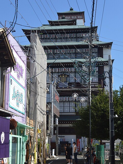
Asturio Cantabrio / CC BY-SA 4.0
buddhist templeBanshō-ji Temple
Buddhist temple in Nagoya, Japan
Getting there Nearest stop or station Kamimaezu, about 4 min on foot OpenStreetMap
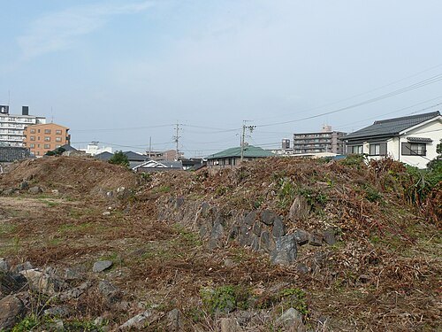 japanese castle
Jōjō Castle
former castle located in Kasugai, Aichi Prefecture, Japan
Getting there Nearest stop or station Kasugai, about 7 min on foot OpenStreetMap
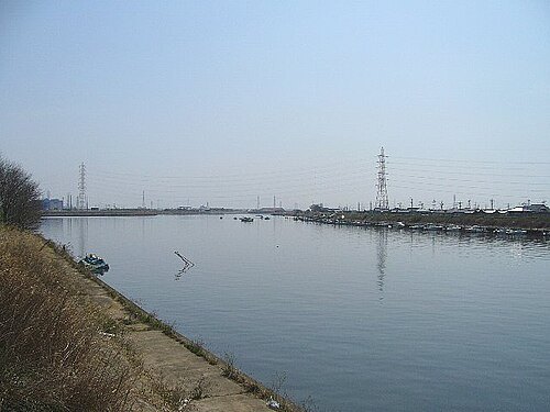
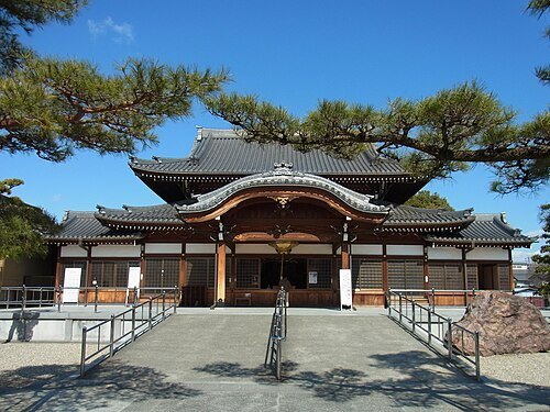
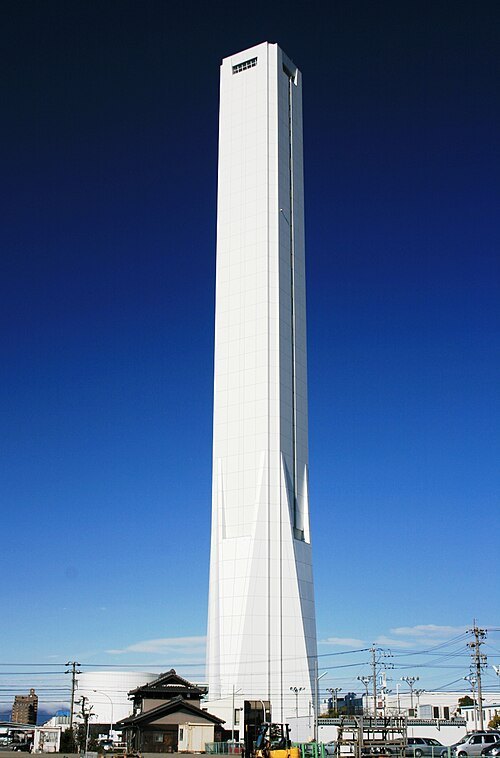 elevator test tower
Solae
elevator test tower in Inazawa, Japan
Getting there Nearest stop or station Inazawa, about 13 min on foot OpenStreetMap
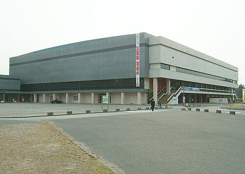 arena
Aichi Prefectural Gymnasium
Gymnasium in Nagoya, Aichi Prefecture, Japan
Getting there Nearest stop or station Nagoyajo, about 5 min on foot OpenStreetMap
- arena
IG Arena
multi-purpose arena in Nagoya, Japan
Getting there Nearest stop or station Meijō Kōen, about 3 min on foot OpenStreetMap
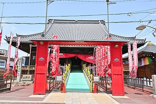 buddhist temple
Kasadera Kannon Temple
temple in Nagoya, Aichi, Japan
Getting there Nearest stop or station Moto-Kasadera, about 5 min on foot OpenStreetMap
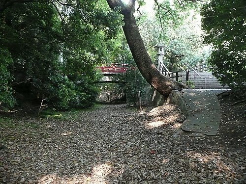 japanese castle
Suemori Castle
building in Nagoya, Aichi Prefecture, Japan
Getting there Nearest stop or station Kakuōzan, about 7 min on foot OpenStreetMap
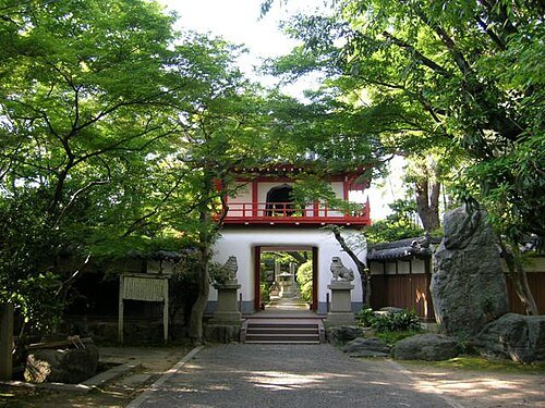 buddhist temple
Tōgan-ji Temple
temple in Chikusa-ku, Nagoya
Getting there Nearest stop or station Motoyama, about 4 min on foot OpenStreetMap


Places to eat
- restaurant
から好し
Food: chicken
Nothing here matches that. Clear a filter and try again.
Opening hours and tickets: OpenStreetMap contributors. Each one shows the day a volunteer last wrote it down, so check the official site before you set out.