Maebashi: what to see and where to eat
Everything below comes from open data and each row says where it came from. We have not been to any of these places and we do not rank them.
Filters
Things to see
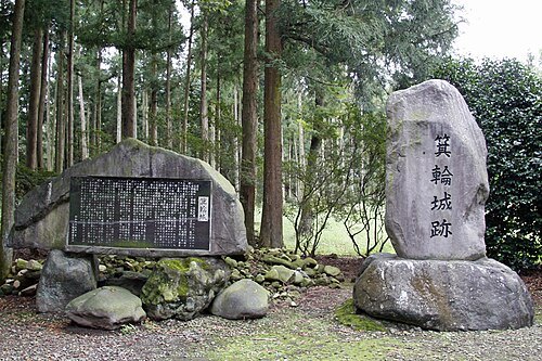
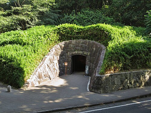
photo: Qurren (talk) Taken with Canon IXY 430F (Digital IXUS 245 HS) / CC BY-SA 3.0
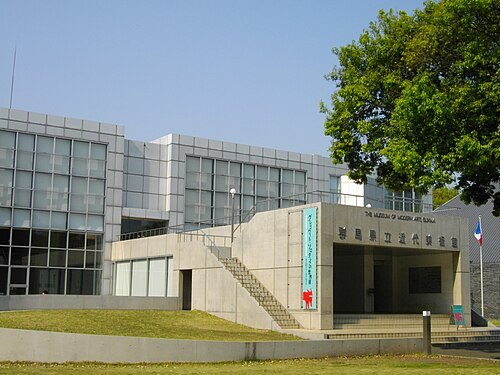
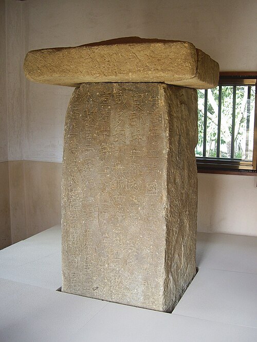 stele
Tago Stele
stone memorial in Japan
Getting there Nearest stop or station Maniwa, about 19 min on foot OpenStreetMap
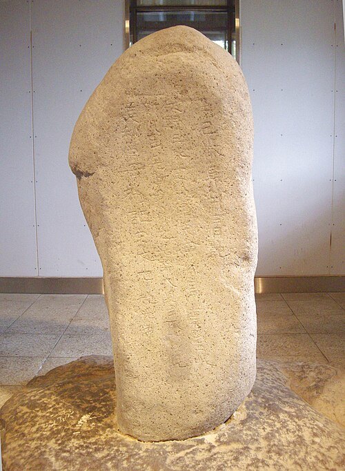 stele
Yamanoue Stele
stele, kofun in Gunma, Japan
Getting there Nearest stop or station Nishi-Yamana, about 12 min on foot OpenStreetMap
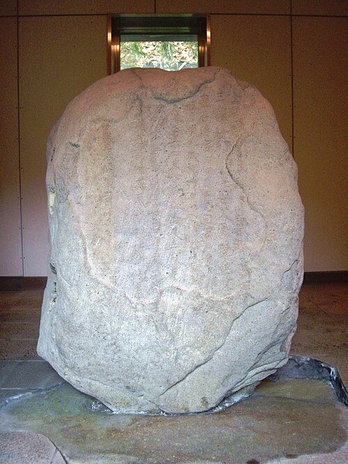 stele
Kanaizawa Stele
8th century Japanese stele
Getting there Nearest stop or station Negoya, about 11 min on foot OpenStreetMap
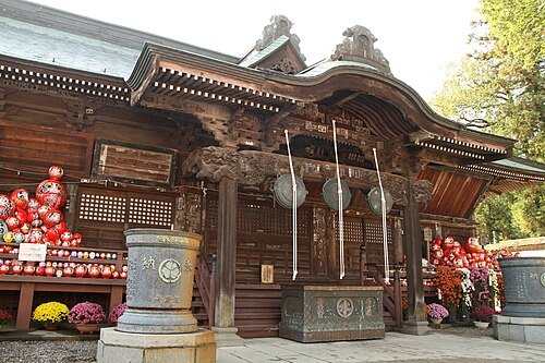 buddhist temple
Daruma-ji Temple
Buddhist temple in Honshu, Japan
Getting there Nearest stop or station Gunma-Yawata, about 12 min on foot OpenStreetMap
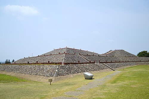
- kofun
Nanakoshiyama Kofun
Japanese historical site
Getting there Nearest stop or station Nishi-Yamana, about 19 min on foot OpenStreetMap
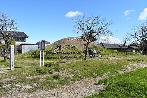 kofun
Isezuka Kofun
kofun in Fujioka, Gunma, Japan
Getting there Nearest stop or station Nishi-Yamana, about 14 min on foot OpenStreetMap
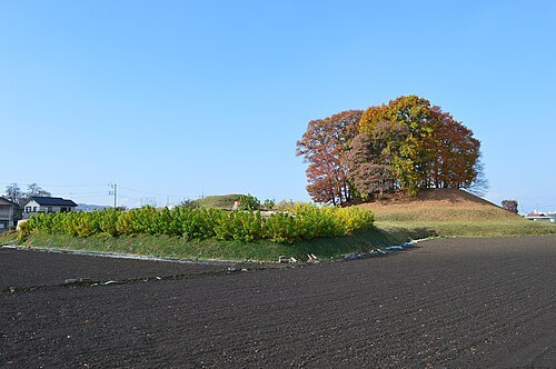 kofun
Otsurumaki-kofun
kofun period burial mound in Japan
Getting there Nearest stop or station Kuragano, about 18 min on foot OpenStreetMap
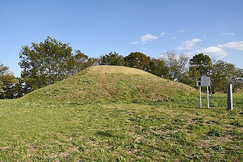
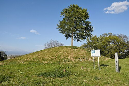
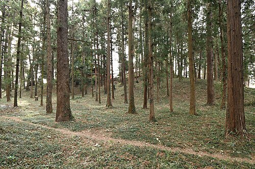 kofun
Sasamori Kofun
kofun in Kanra, Gunma, Japan
Getting there Nearest stop or station Joshu-Fukushima, about 12 min on foot OpenStreetMap
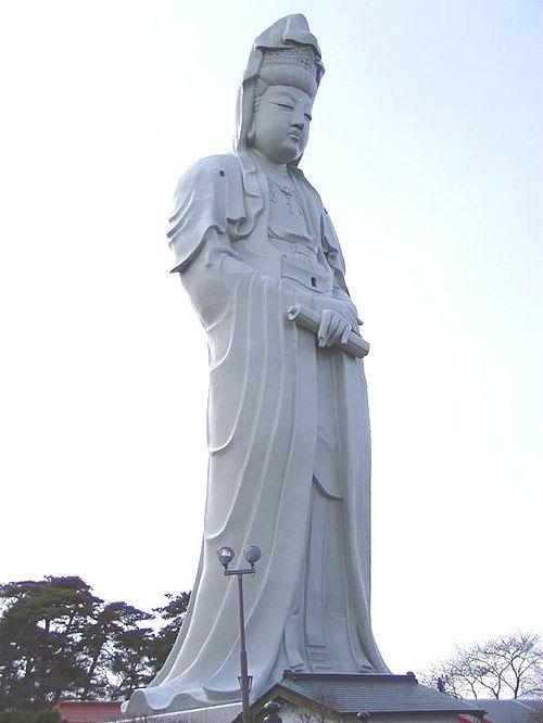
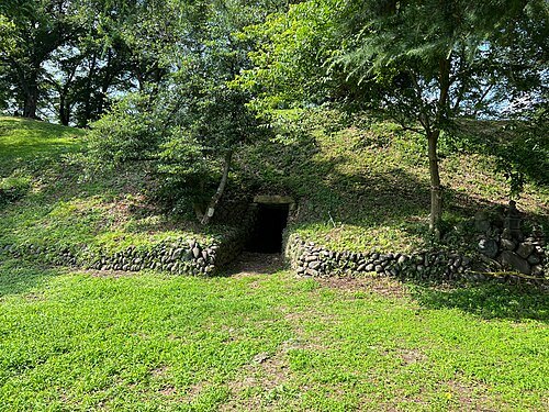
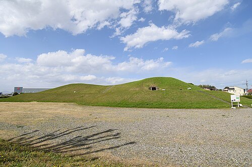
- kofun
Maebashi Tenjinyama Kofun
kofun in Maebashi, Gunma, Japan
Getting there Nearest stop or station Maebashi-Oshima, about 13 min on foot OpenStreetMap
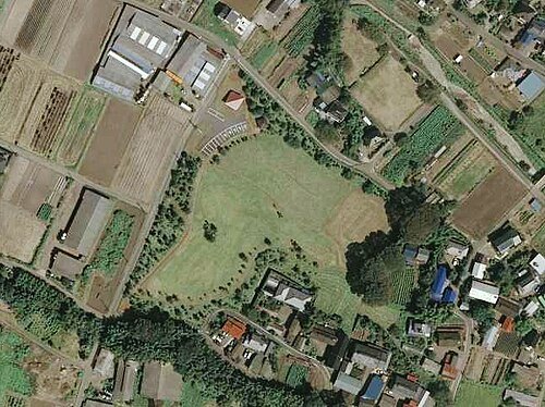
Geospatial Information Authority of JapanRetouch: Qurren (talk) / CC BY 4.0
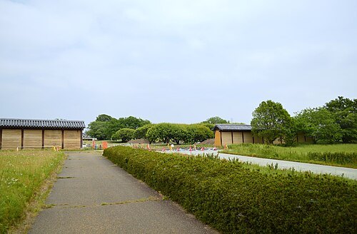
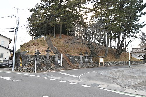
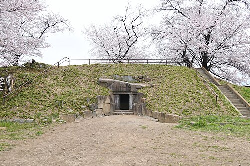 square kofun
Jaketsuzan Kofun
Kofun period burial mound in Maebashi, Kantō, Japan
Getting there Nearest stop or station Gumma-Soja, about 18 min on foot OpenStreetMap
 square kofun
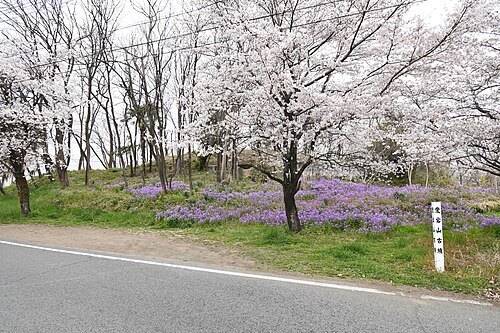
Hōtōzan Kofun
kofun in Maebashi, Gunma, Japan
Getting there Nearest stop or station Gumma-Soja, about 17 min on foot OpenStreetMap
 square kofun
Soja Atagoyama Kofun
kofun in Maebashi, Gunma, Japan
Getting there Nearest stop or station Gumma-Soja, about 11 min on foot OpenStreetMap
- kofun
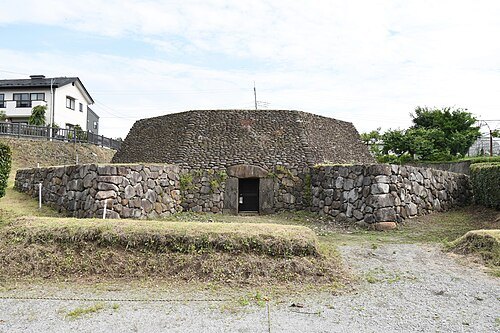
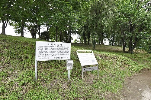
Sōja Futagoyama Kofun
burial mound in Japan
Getting there Nearest stop or station Gumma-Soja, about 8 min on foot OpenStreetMap
 kofun
Tomiyama Kofun
kofun in Maebashi, Gunma, Japan
Getting there Nearest stop or station Gumma-Soja, about 19 min on foot OpenStreetMap
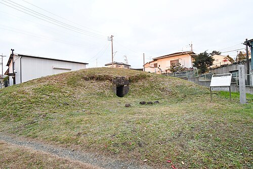 circular kofun
Horikoshi Kofun
kofun period burial mound in Gunma, Japan
Getting there Nearest stop or station Ogo, about 11 min on foot OpenStreetMap
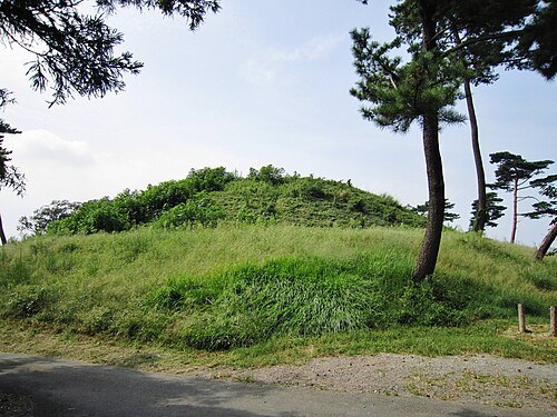
photo: Qurren (talk) Taken with Canon IXY 10S (Digital IXUS 210) / CC BY-SA 3.0
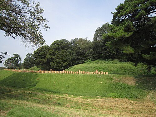
photo: Qurren (talk) Taken with Canon IXY 10S (Digital IXUS 210) / CC BY-SA 3.0
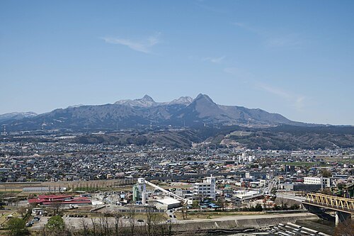
photo: Qurren (talk) Taken with Canon PowerShot G9 X / CC BY-SA 4.0
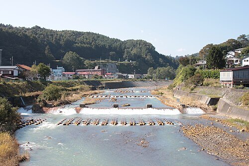
pcs34560 from jawp This photo was taken with Canon EOS 500D / Public domain
riverAgatsuma River
river in Gunma prefecture, Japan
Getting there Nearest stop or station Shibukawa, about 19 min on foot OpenStreetMap
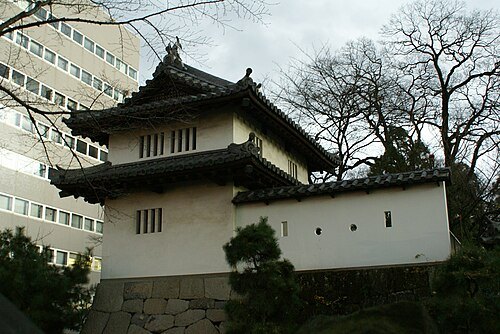
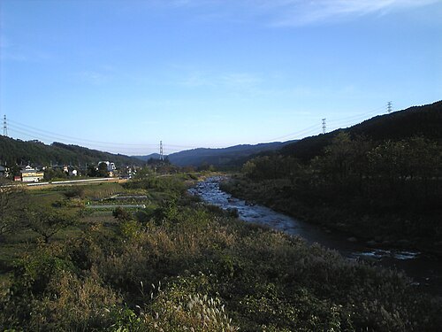
- japanese castle
Maebashi Castle
castle in Maebashi, Gumma prefecture, Japan
Getting there Nearest stop or station Chuo-Maebashi, about 18 min on foot OpenStreetMap
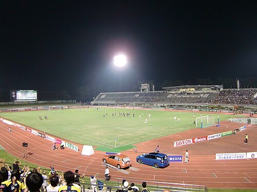
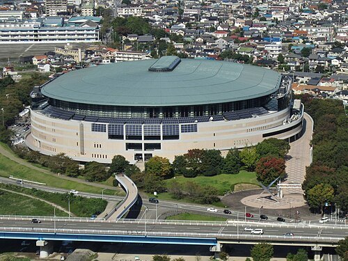
photo: Qurren (talk) Taken with Canon IXY 10S (Digital IXUS 210) / CC BY-SA 3.0
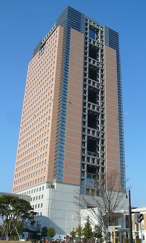 skyscraper
Gunma Prefectural Government Building
building in Maebashi, Gunma Prefecture, Japan
Getting there Nearest stop or station Chuo-Maebashi, about 19 min on foot OpenStreetMap
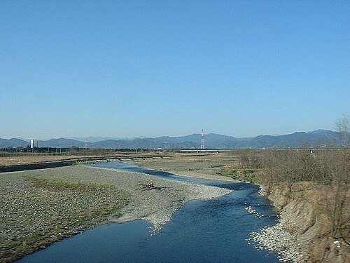 river
Kanna River
river in Gunma and Saitama prefecture, Japan
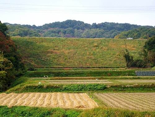
photo: Qurren (talk) Taken with Canon IXY DIGITAL 10 / CC BY-SA 3.0
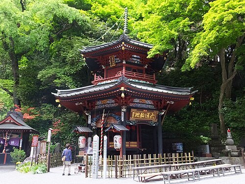
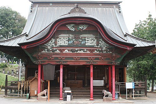 buddhist temple
Chōkoku-ji Temple
Buddhist temple dedicated to Eleven-Faced Avalokiteśvara in Takasaki, Japan
 river
Usui River
river in Japan
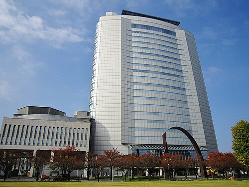
photo: Qurren (talk) Taken with Canon IXY 10S (Digital IXUS 210) / CC BY-SA 3.0
skyscraperTakasaki City Hall
- kofun
Maebashi-hachimanyama-kofun
Kofun period burial mount in Maebashi, Kantō, Japan
Getting there Nearest stop or station Maebashi-Oshima, about 14 min on foot OpenStreetMap
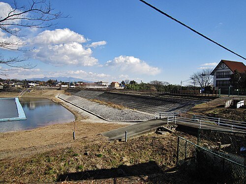
photo: Qurren (talk) Taken with Canon IXY 10S (Digital IXUS 210) / CC BY-SA 3.0
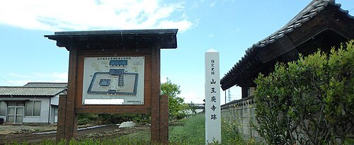 historic site
Sannō temple ruins
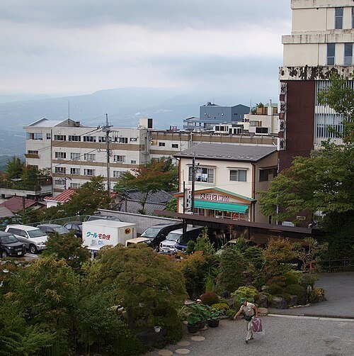 sulphur spring
Ikaho Onsen
building in Gunma Prefecture, Japan
Getting there Nearest stop or station Hototogisu, about 16 min on foot OpenStreetMap
- urban park
Forest of Gunma
- eastern orthodox church building
Maebashi Orthodox Church
building in Maebashi, Gunma Prefecture, Japan
Getting there Nearest stop or station Chuo-Maebashi, about 13 min on foot OpenStreetMap
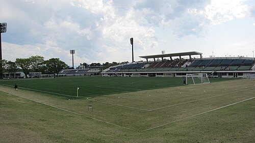 association football venue
Gunma Shikishima Soccer Stadium
building in Maebashi, Gunma Prefecture, Japan
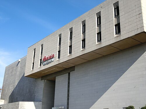 music venue
Gunma Civic Hall
Getting there Nearest stop or station Chuo-Maebashi, about 11 min on foot OpenStreetMap
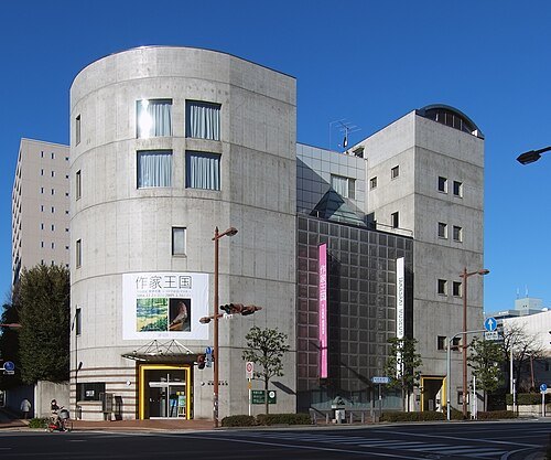
- art museum
Arts Maebashi
museum in Japan
Getting there Nearest stop or station Chuo-Maebashi, about 5 min on foot OpenStreetMap
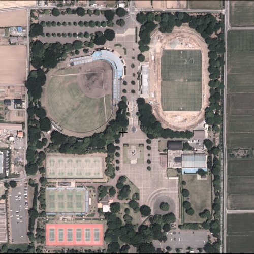
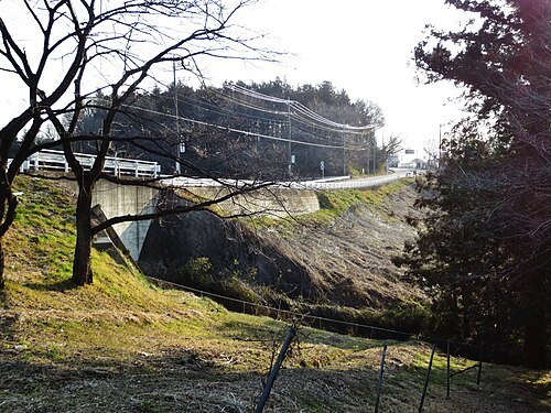
photo: Qurren (talk) Taken with Canon IXY 430F (Digital IXUS 245 HS) / CC BY-SA 3.0


Places to eat
- restaurant
炭櫓すみやぐら
Food: yakiniku, steak house, regional
Nothing here matches that. Clear a filter and try again.
Opening hours and tickets: OpenStreetMap contributors. Each one shows the day a volunteer last wrote it down, so check the official site before you set out.