Hiroshima: what to see and where to eat
Everything below comes from open data and each row says where it came from. We have not been to any of these places and we do not rank them.
Filters
Things to see
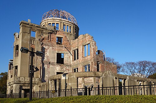 memorial
Hiroshima Peace Memorial
architectural structure
Getting there Nearest stop or station Motoyasu Pier, about 3 min on foot OpenStreetMap
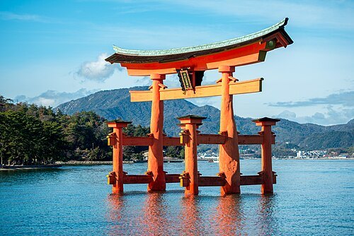 shinto shrine
Itsukushima Shrine
Shinto shrine in Hiroshima Prefecture, Japan
Getting there Nearest stop or station Momijidani, about 10 min on foot OpenStreetMap
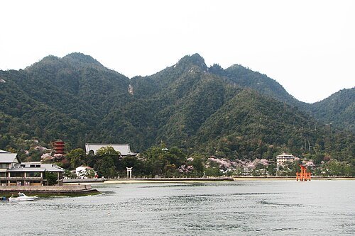
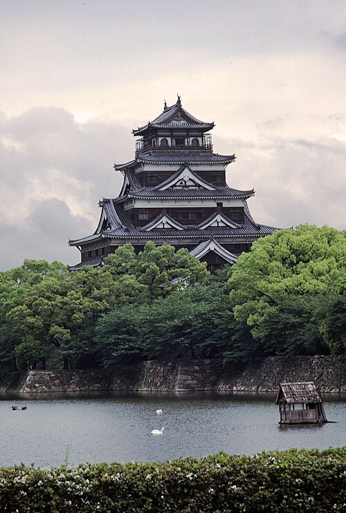 japanese castle
Hiroshima Castle
castle
Getting there Nearest stop or station Jōhoku, about 5 min on foot OpenStreetMap
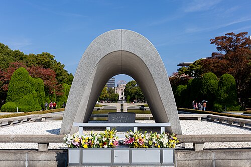 urban park
Hiroshima Peace Memorial Park
memorial park located in Hiroshima, Japan
Getting there Nearest stop or station Motoyasu Pier, about 3 min on foot OpenStreetMap
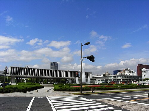 military museum
Hiroshima Peace Memorial Museum
peace museum in Hiroshima, Hiroshima, Japan
Getting there Nearest stop or station Motoyasu Pier, about 4 min on foot OpenStreetMap
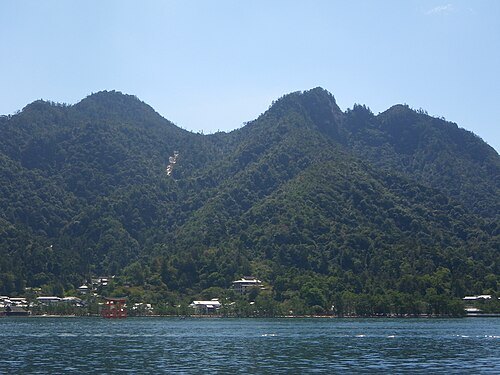 mountain
Mount Misen
mountain in Hiroshima Prefecture, Japan
Getting there Nearest stop or station Shishiiwa, about 8 min on foot OpenStreetMap
No machine-readable author provided. Fg2 assumed (based on copyright claims). / Public domain
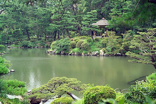
daimyō gardenShukkei-en
garden in Hiroshima, Hiroshima, Japan
Getting there Nearest stop or station Hiroshima, about 12 min on foot OpenStreetMap
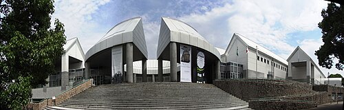
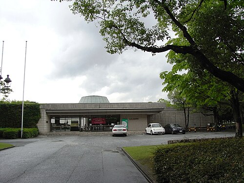
Taisyo at Japanese Wikipedia / CC BY 3.0
art museumHiroshima Museum of Art
art museum in Hiroshima, Hiroshima, Japan
Getting there Nearest stop or station Kenchō-mae, about 3 min on foot OpenStreetMap
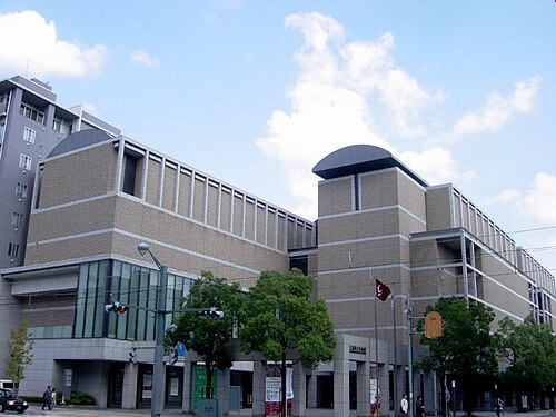
Taisyo at Japanese Wikipedia / CC BY 3.0
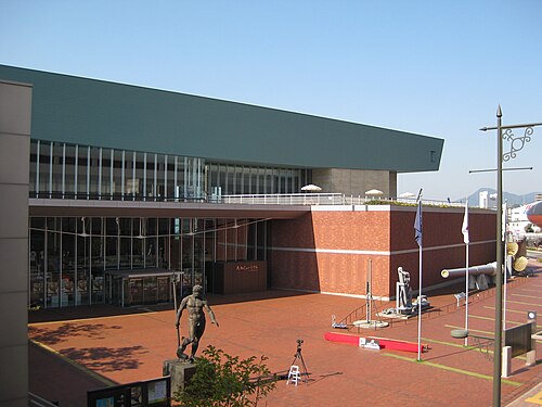
art museumHiroshima Prefectural Art Museum
museum in Japan
Getting there Nearest stop or station Kenchō-mae, about 13 min on foot OpenStreetMap
 history museum
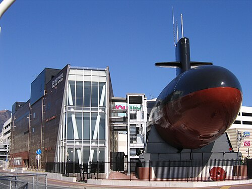
Yamato Museum
maritime museum
Getting there Nearest stop or station Kure Central Pier Terminal, about 1 min on foot OpenStreetMap
 history museum
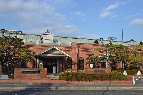
JMSDF Kure Museum
Japanese military museum located in Kure, Hiroshima
Getting there Nearest stop or station Kure Central Pier Terminal, about 3 min on foot OpenStreetMap
 buddhist temple
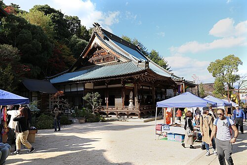
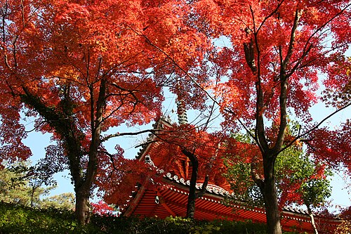
Daishō-in Temple
Buddhist temple in Hiroshima Prefecture, Japan
Getting there Nearest stop or station Momijidani, about 12 min on foot OpenStreetMap
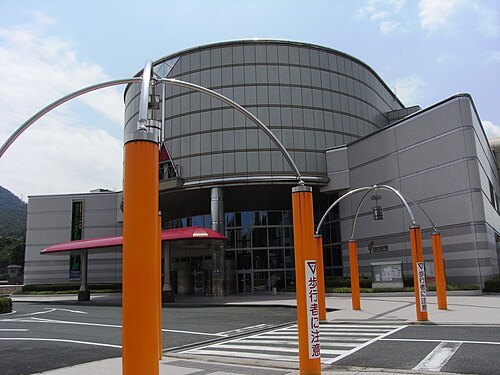 science museum
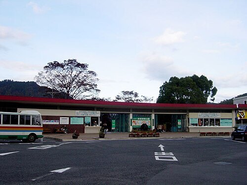
Hiroshima City Transportation Museum
transport museum in Hiroshima, Japan
Getting there Nearest stop or station Chōrakuji, about 5 min on foot OpenStreetMap
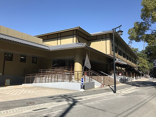 public aquarium
Miyajima Public Aquarium
aquarium on Itsukushima in Hatsukaichi, Hiroshima, Japan
Getting there Nearest stop or station Miyajima Ferry Terminal, about 15 min on foot OpenStreetMap
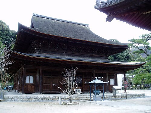 buddhist temple
Fudō-in Temple
Buddhist temple in Hiroshima city, Japan
Getting there Nearest stop or station Fudōin-mae, about 3 min on foot OpenStreetMap
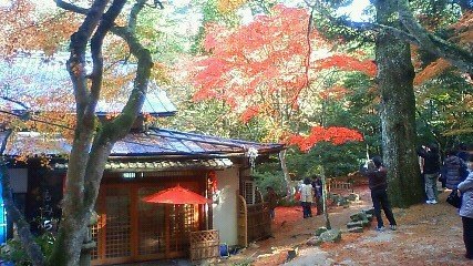
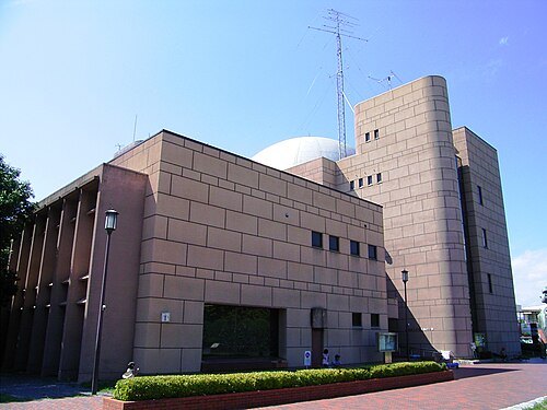
Taisyo at Japanese Wikipedia / CC BY 3.0
science museumHiroshima Children's Museum
science museum for children in Hiroshima, Japan
Getting there Nearest stop or station Hiroshima Bus Center, about 6 min on foot OpenStreetMap
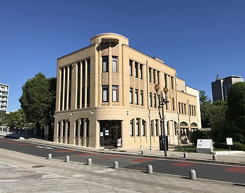 historic building
Rest House
building in Naka-ku, Hiroshima Prefecture, Japan
Getting there Nearest stop or station Motoyasu Pier, about 1 min on foot OpenStreetMap
- monument
Children's Peace Monument
monument
Getting there Nearest stop or station Motoyasu Pier, about 2 min on foot OpenStreetMap
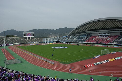 stadium
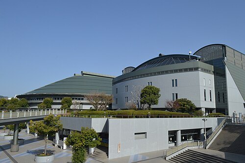
Hiroshima Big Arch
multi-purpose stadium in Hiroshima, Japan
Getting there Nearest stop or station Ōzuka, about 12 min on foot OpenStreetMap
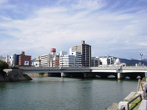 road-rail bridge
Aioi Bridge
bridge in Hiroshima, Japan
Getting there Nearest stop or station Motoyasu Pier, about 5 min on foot OpenStreetMap
Asturio Cantabrio / CC BY-SA 4.0
arenaHiroshima Prefectural Sports Center
architectural structure
Getting there Nearest stop or station Hiroshima Bus Center, about 6 min on foot OpenStreetMap
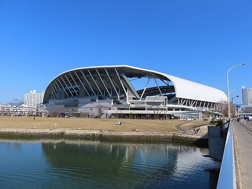 stadium
Edion Peace Wing Hiroshima
Football Stadium in Hiroshima
Getting there Nearest stop or station Jōhoku, about 10 min on foot OpenStreetMap
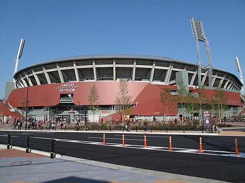
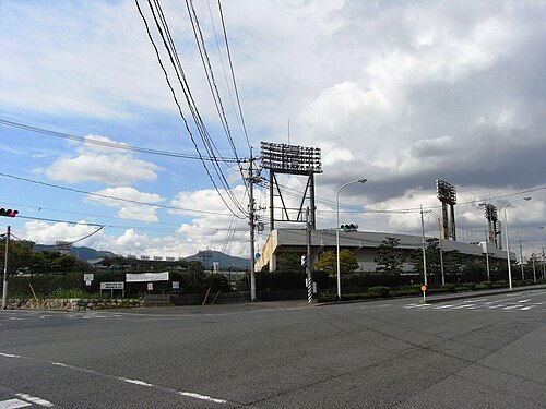
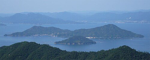
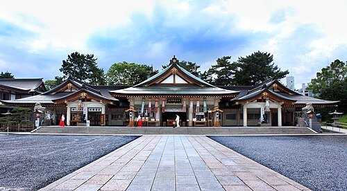 shinto shrine
Hiroshima Gokoku Shrine
Shinto shrine in Naka-ku, Hiroshima, Japan
Getting there Nearest stop or station Jōhoku, about 7 min on foot OpenStreetMap
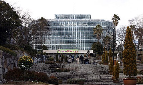
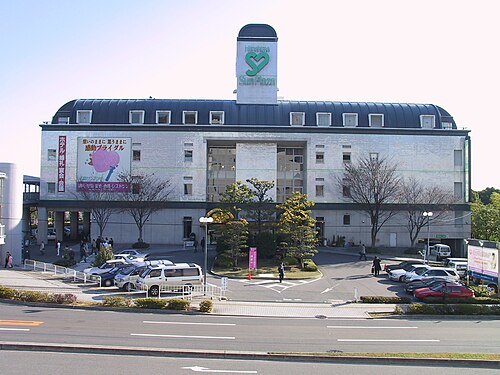
南八尾電車区 at Japanese Wikipedia / CC BY-SA 3.0
arenaHiroshima Sun Plaza
building in Nishi-ku, Hiroshima Prefecture, Japan
Getting there Nearest stop or station Shin-Inokuchi, about 10 min on foot OpenStreetMap
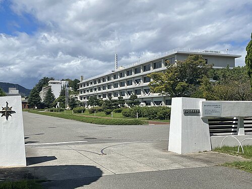
Advance7787645664 / CC BY-SA 4.0
coast guard academyJapan Coast Guard Academy
higher education institution in Hiroshima Prefecture, Japan
Getting there Nearest stop or station Yoshiura, about 20 min on foot OpenStreetMap
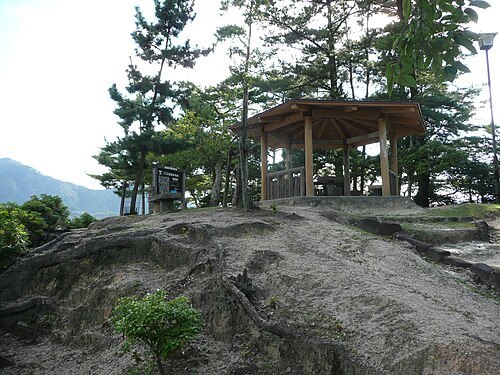 japanese castle
Miyao Castle
Getting there Nearest stop or station Miyajima Ferry Terminal, about 3 min on foot OpenStreetMap
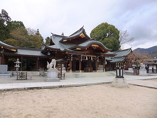
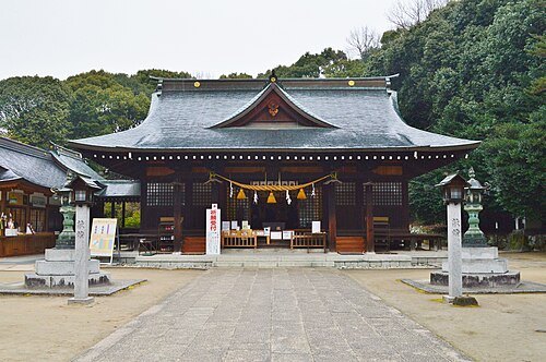 shinto shrine
Take Shrine
Shinto shrine in Hiroshima Prefecture, Japan
Getting there Nearest stop or station Yaga, about 19 min on foot OpenStreetMap
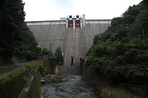
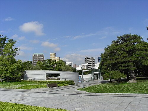 war memorial
Hiroshima National Peace Memorial Hall for the Atomic Bomb Victims
monument
Getting there Nearest stop or station Motoyasu Pier, about 1 min on foot OpenStreetMap
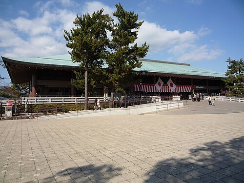 pier
Miyajima Pier
Getting there Nearest stop or station Miyajima Ferry Terminal, about 1 min on foot OpenStreetMap
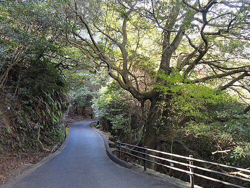
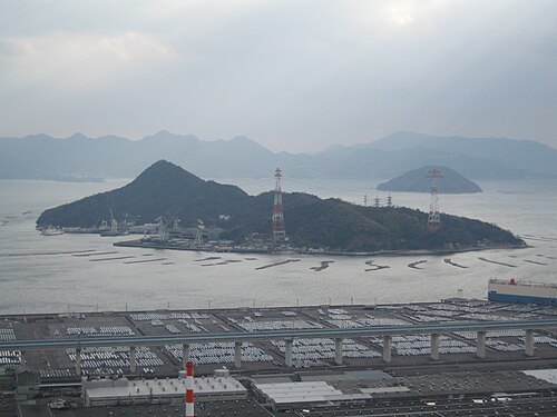 island
Kanawajima
island in Hiroshima, Japan
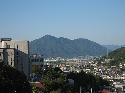 mountain
Mount Abu
mountain in Asakita-ku and Asaminami-ku, Hiroshima, Hiroshima prefecture, Japan
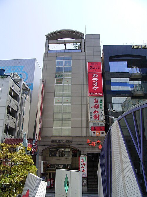
Taisyo; Uploaded to Commons by Nihonjoe / CC BY 3.0
food theme parkOkonomi-mura
building in Naka-ku, Hiroshima Prefecture, Japan
Getting there Nearest stop or station Hondōri, about 8 min on foot OpenStreetMap
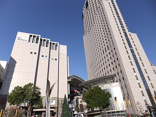 skyscraper
Motomachi Cred
Getting there Nearest stop or station Kenchō-mae, about 2 min on foot OpenStreetMap
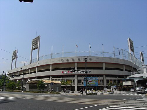 stadium
Hiroshima Municipal Stadium
building in Naka-ku, Hiroshima Prefecture, Japan
Getting there Nearest stop or station Hiroshima Bus Center, about 3 min on foot OpenStreetMap
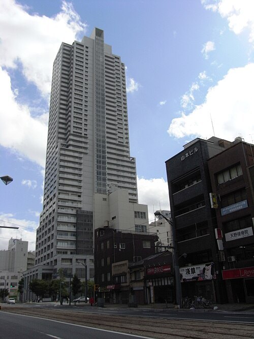 skyscraper
Urban View Grand Tower
Getting there Nearest stop or station Kenchō-mae, about 11 min on foot OpenStreetMap
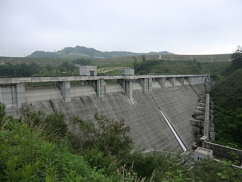
- maritime museum
Japan Coast Guard Museum
museum in Kure, Hiroshima Prefecture, Japan
Getting there Nearest stop or station Yoshiura, about 20 min on foot OpenStreetMap
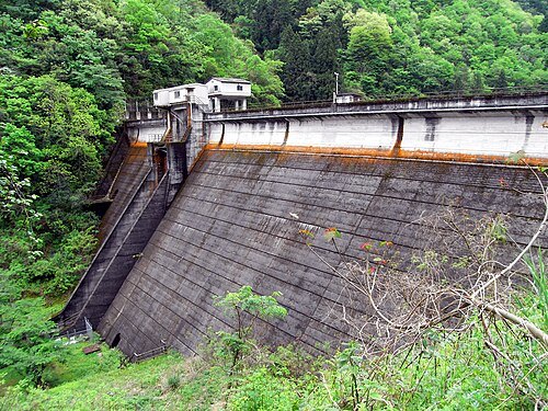
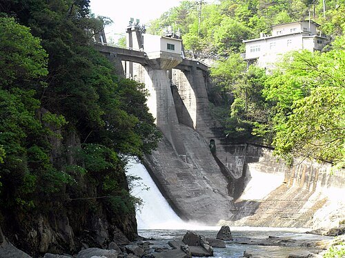 dam
Nikyu Dam
dam in Hiroshima Prefecture, Japan
- bay
Etajima Bay
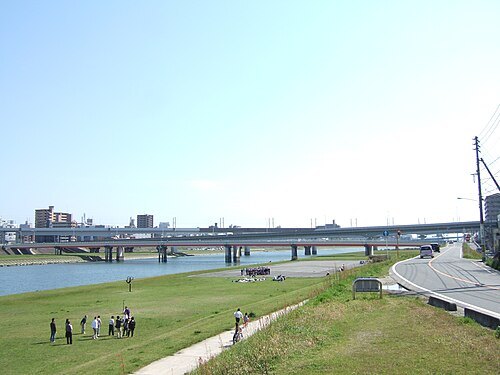
 river
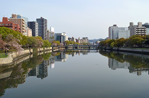
Kyōbashi River
river in Hiroshima


Places to eat
- restaurant
RICK
Food: bistro, french, bar and grill
Nothing here matches that. Clear a filter and try again.
Opening hours and tickets: OpenStreetMap contributors. Each one shows the day a volunteer last wrote it down, so check the official site before you set out.