Tel Aviv: what to see and where to eat
Everything below comes from open data and each row says where it came from. We have not been to any of these places and we do not rank them.
Filters
Things to see
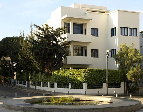
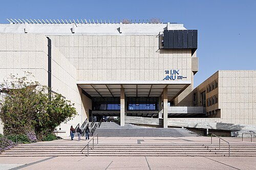 history museum
Museum of the Jewish People at Beit Hatfutsot
museum in Israel
Getting there Nearest stop or station Tel Aviv University Bus Terminal, about 6 min on foot OpenStreetMap
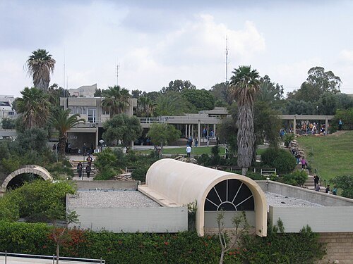 museum
Eretz Israel Museum
historical and archeological museum in Tel Aviv, Israel
Getting there Nearest stop or station Tel Aviv University, about 12 min on foot OpenStreetMap
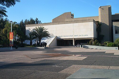
Itayba at Hebrew Wikipedia / Public domain
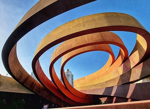
art museumTel Aviv Museum of Art
Art museum
Getting there Nearest stop or station Shaul HaMelech, about 8 min on foot OpenStreetMap
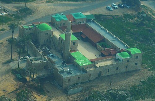
 mosque
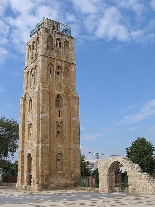
White mosque
mosque in Ramla, Israel
Getting there Nearest stop or station Ramla, about 16 min on foot OpenStreetMap
No machine-readable author provided. Eman assumed (based on copyright claims). / Public domain
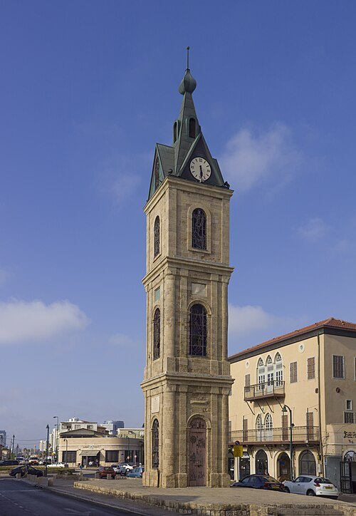 clock tower
Jaffa Clock Tower
building in Jaffa
Getting there Nearest stop or station Shalma, about 5 min on foot OpenStreetMap
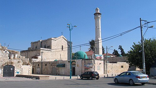 church building
Church of Saint George
church building in Lod, Israel
Getting there Nearest stop or station תחנה מרכזית לוד, about 6 min on foot OpenStreetMap
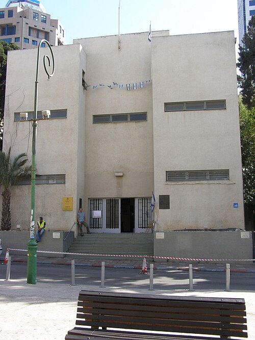 museum building
Independence Hall
building in Tel Aviv, Israel
Getting there Nearest stop or station Allenby, about 6 min on foot OpenStreetMap
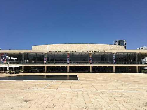 concert hall
Heichal HaTarbut
concert hall in Tel Aviv, Israel
Getting there Nearest stop or station Yehudit, about 14 min on foot OpenStreetMap
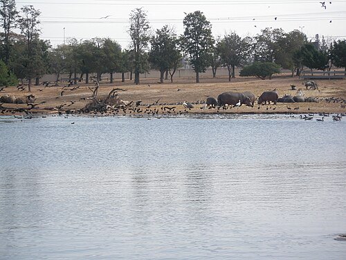
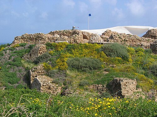
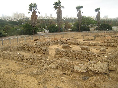 archaeological site
Tell Qasile
archaeological site in Tel Aviv District, Israel
Getting there Nearest stop or station Tel Aviv University, about 16 min on foot OpenStreetMap
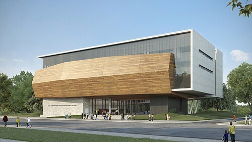
תכנון: קימל אשכולות אדריכלים, הדמייה ממוחשבת – סטודיו בונסאי / CC BY-SA 4.0
museumSteinhardt Museum of Natural History
natural history museum in Tel Aviv, Israel
Getting there Nearest stop or station Tel Aviv University Bus Terminal, about 8 min on foot OpenStreetMap
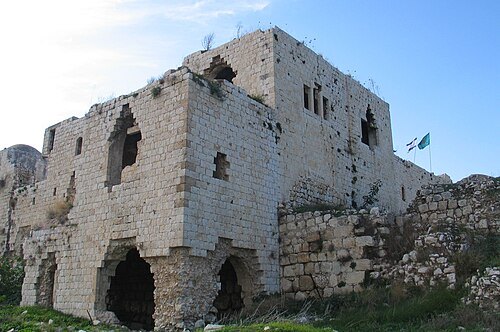 archaeological site
Migdal Afek
National park, Jewish settlement in the land of Israel from the second temple period
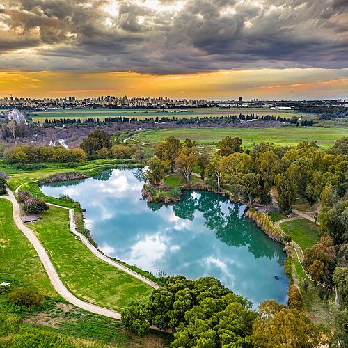
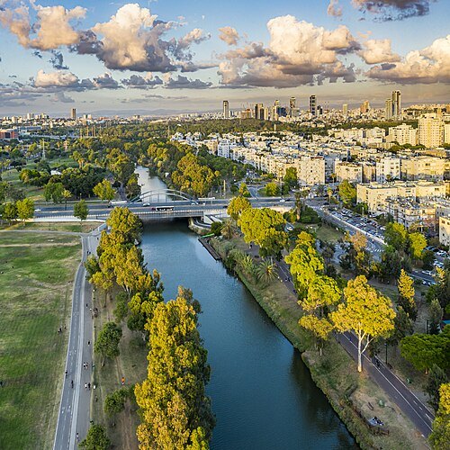 river
Yarkon River
river in central Israel
Getting there Nearest stop or station Reading bus terminal, about 10 min on foot OpenStreetMap
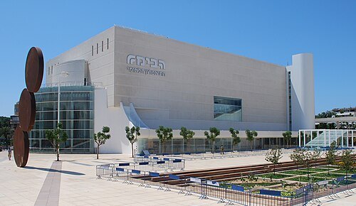 theatre building
Habima Theatre
national theatre of Israel
Getting there Nearest stop or station Carlebach, about 14 min on foot OpenStreetMap
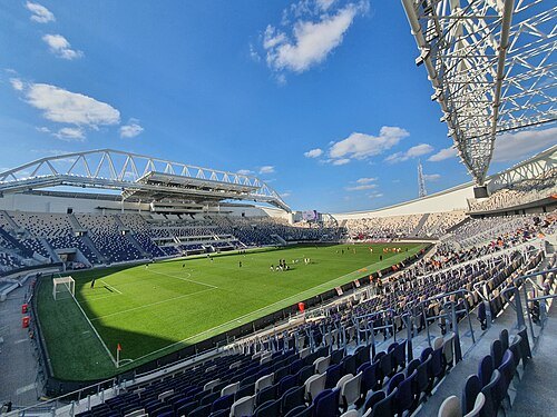
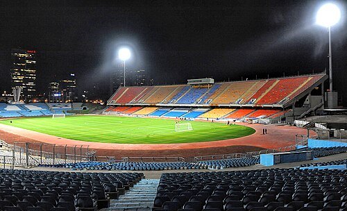 association football venue
Ramat Gan Stadium
football stadium in the Tel Aviv District, Israel
Getting there Nearest stop or station Ayalon Mall Bus Terminal, about 3 min on foot OpenStreetMap
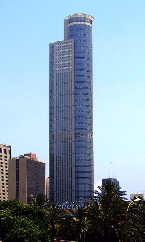 skyscraper
Moshe Aviv Tower
skyscraper in Ramat Gan, Israel
Getting there Nearest stop or station Abba Hillel, about 2 min on foot OpenStreetMap
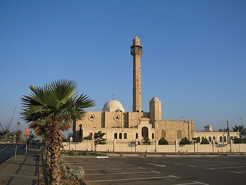
Patrick Jayne and Thomas / CC BY 2.0
mosqueHassan Bek Mosque
mosque in Tel Aviv, Israel
Getting there Nearest stop or station Elifelet, about 14 min on foot OpenStreetMap
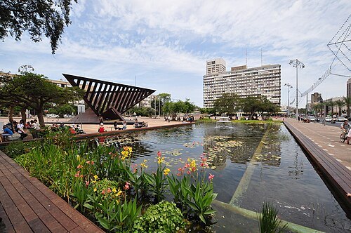 square
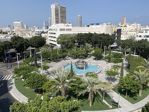
Rabin Square
public city square in the center of Tel Aviv, Israel
Getting there Nearest stop or station Shaul HaMelech, about 18 min on foot OpenStreetMap
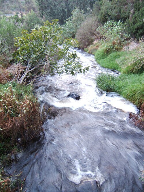
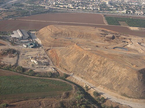
The original uploader was דובב at Hebrew Wikipedia. / CC BY 2.5
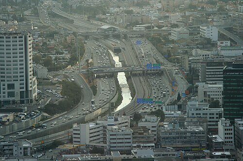
Beivushtang at English Wikipedia / CC BY-SA 3.0
riverAyalon River
river in central Israel
Getting there Nearest stop or station Tel Aviv University, about 8 min on foot OpenStreetMap
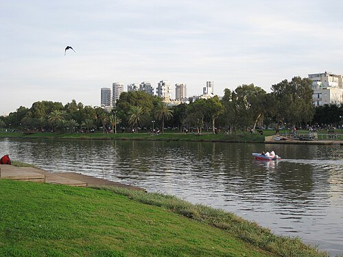 urban park
Yarkon Park
public urban park in Tel Aviv, Israel
Getting there Nearest stop or station Tel Aviv University, about 10 min on foot OpenStreetMap
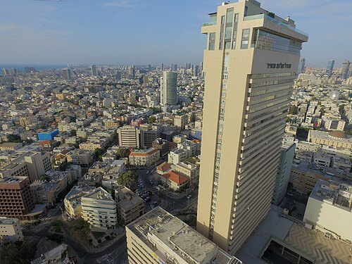 tower block
Shalom Meir Tower
government, Commercial, Residential in Tel Aviv, Israel
Getting there Nearest stop or station Allenby, about 8 min on foot OpenStreetMap
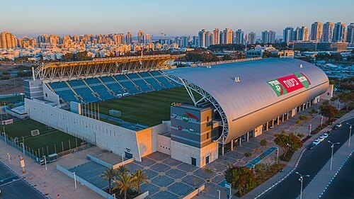 stadium
HaMoshava Stadium
football stadium in Petah Tikva, Israel
Getting there Nearest stop or station Petah Tikva–Kiryat Aryeh, about 5 min on foot OpenStreetMap
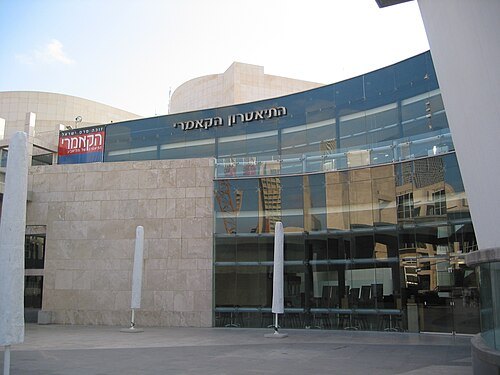 theatre company
Cameri Theater
theatre company in Tel Aviv
Getting there Nearest stop or station Shaul HaMelech, about 11 min on foot OpenStreetMap
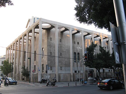 synagogue
Great Synagogue
synagogue in Tel Aviv, Israel
Getting there Nearest stop or station Allenby, about 5 min on foot OpenStreetMap
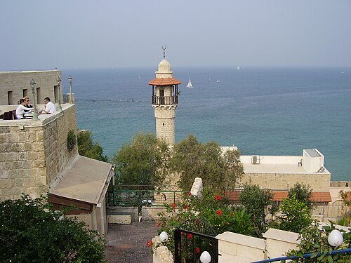
avishai teicher User:Avi1111 / Public domain
mosqueAl-Bahr Mosque
mosque in Jaffa, Tel Aviv, Israel
Getting there Nearest stop or station Jaffa Port, about 5 min on foot OpenStreetMap
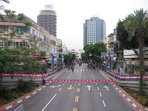
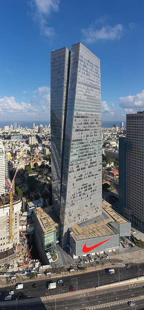
Skypro \ Rothem Rogovsky (סקייפרו / רותם רוגובסקי) / CC BY-SA 4.0
skyscraperAzrieli Sarona Tower
skyscraper in Israel
Getting there Nearest stop or station Yehudit, about 3 min on foot OpenStreetMap
 mosque
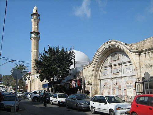
Mahmoudiya Mosque
mosque in Jaffa, Tel Aviv, Israel
Getting there Nearest stop or station Shalma, about 6 min on foot OpenStreetMap
Dr. Avishai Teicher / CC BY 2.5
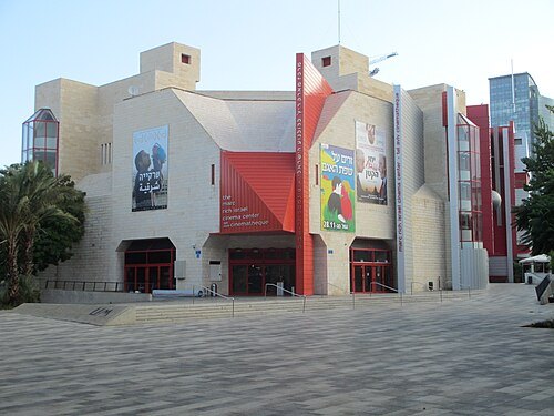
movie theaterTel Aviv Cinematheque
cinema in Tel Aviv, Israel
Getting there Nearest stop or station Yehudit, about 8 min on foot OpenStreetMap
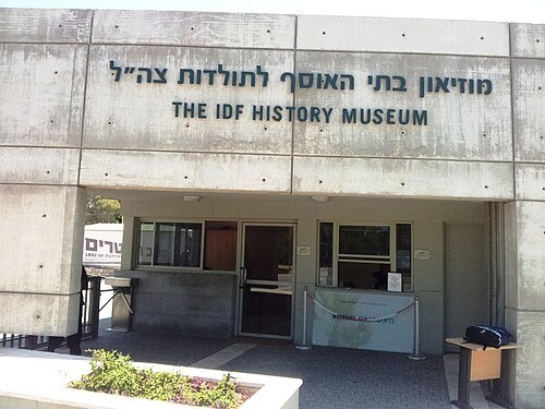
ד"ר יעל ויילר ישראל ,יעל י / CC BY-SA 3.0
military museumIsrael Defense Forces History Museum
military museum
Getting there Nearest stop or station Elifelet, about 2 min on foot OpenStreetMap
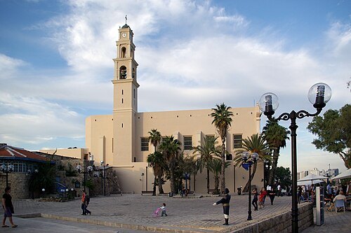
Berthold Werner / Public domain
church buildingSt. Peter's Church
Franciscan Catholic church in Jaffa, Israel
Getting there Nearest stop or station Jaffa Port, about 3 min on foot OpenStreetMap
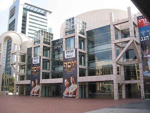 opera house
Tel Aviv Performing Arts Center
opera house in Tel Aviv, Israel
Getting there Nearest stop or station Shaul HaMelech, about 10 min on foot OpenStreetMap
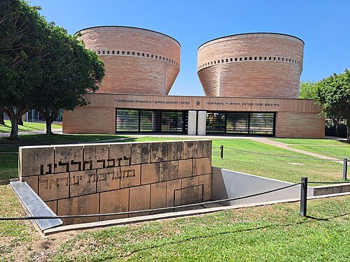 synagogue
Cymbalista Synagogue and Jewish Heritage Center
synagogue of Tel Aviv University
Getting there Nearest stop or station Tel Aviv University Bus Terminal, about 8 min on foot OpenStreetMap
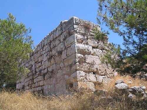
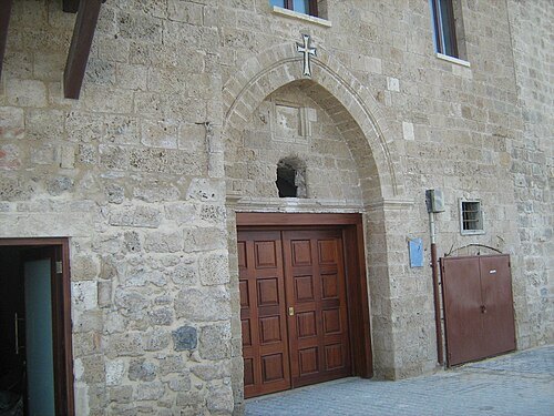 monastery
Saint Nicholas Monastery
Armenian monastery in the old city of Jaffa, Israel
Getting there Nearest stop or station Jaffa Port, about 4 min on foot OpenStreetMap
- square
Kikar Hamedina
plaza in Tel Aviv
Getting there Nearest stop or station Terminal 2000, about 11 min on foot OpenStreetMap
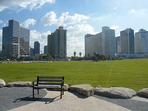 park
Charles Clore Park
park in Tel Aviv, Israel
Getting there Nearest stop or station Elifelet, about 12 min on foot OpenStreetMap
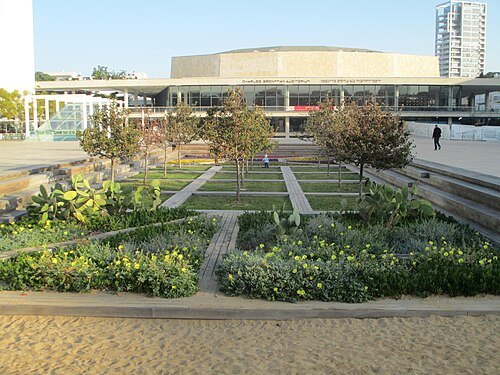
Dr. Avishai Teicher / CC BY 2.5
squareHabima Square
public plaza in Tel Aviv
Getting there Nearest stop or station Carlebach, about 14 min on foot OpenStreetMap
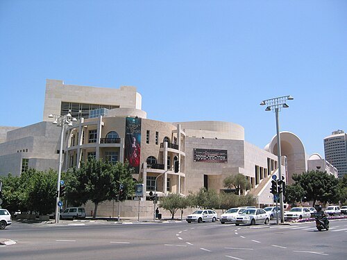 opera company
Israeli Opera
opera company in Israel
Getting there Nearest stop or station Shaul HaMelech, about 10 min on foot OpenStreetMap
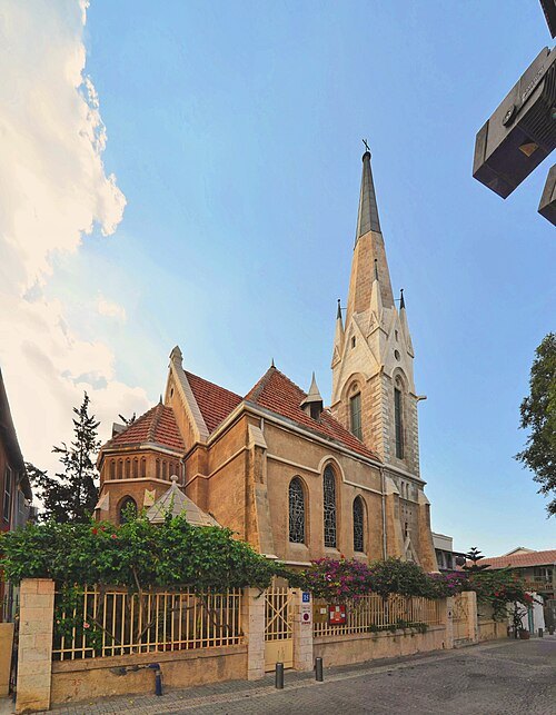 church building
Immanuel Church
Lutheran church in Jaffa, Israel
Getting there Nearest stop or station Elifelet, about 3 min on foot OpenStreetMap
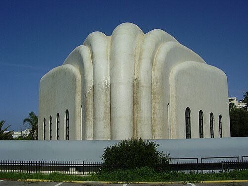 synagogue
Hechal Yehuda Synagogue
synagogue in Tel Aviv, Israel
Getting there Nearest stop or station Terminal 2000, about 20 min on foot OpenStreetMap
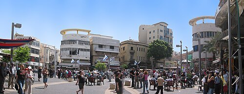 square
Magen David Square
square in Tel Aviv, Israel
Getting there Nearest stop or station Allenby, about 14 min on foot OpenStreetMap
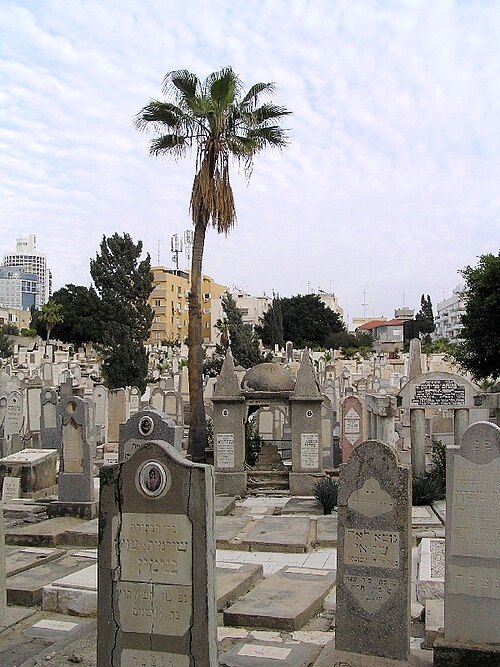
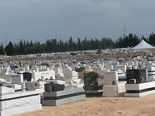 jewish cemetery
Yarkon Cemetery
cemetery in Israel
Getting there Nearest stop or station Kiryat Aryeh light rail station, about 19 min on foot OpenStreetMap
- minor basilica
Great Mosque of Ramla
mosque in Ramla, Central, Israel
Getting there Nearest stop or station Ramla central bus station, about 4 min on foot OpenStreetMap
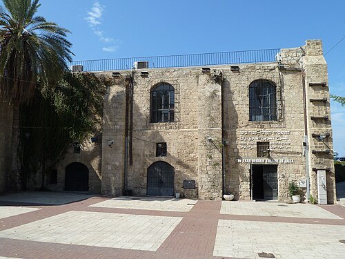 theatre building
The Arab-Hebrew Theater
Arab and hebrew theatre in Tel Aviv
Getting there Nearest stop or station Jaffa Port, about 6 min on foot OpenStreetMap
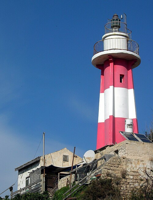 lighthouse
Jaffa Light
lighthouse in Israel
Getting there Nearest stop or station Jaffa Port, about 1 min on foot OpenStreetMap
- amusement park
Superland
- amusement park
Luna Park, Tel Aviv
- architectural landmark
Andromeda Rock
- water park
Memadion


Places to eat
No eating place in this city lists its cuisine and opening hours yet.
Nothing here matches that. Clear a filter and try again.
Opening hours and tickets: OpenStreetMap contributors. Each one shows the day a volunteer last wrote it down, so check the official site before you set out.