Ashdod: what to see and where to eat
Everything below comes from open data and each row says where it came from. We have not been to any of these places and we do not rank them.
Filters
Things to see
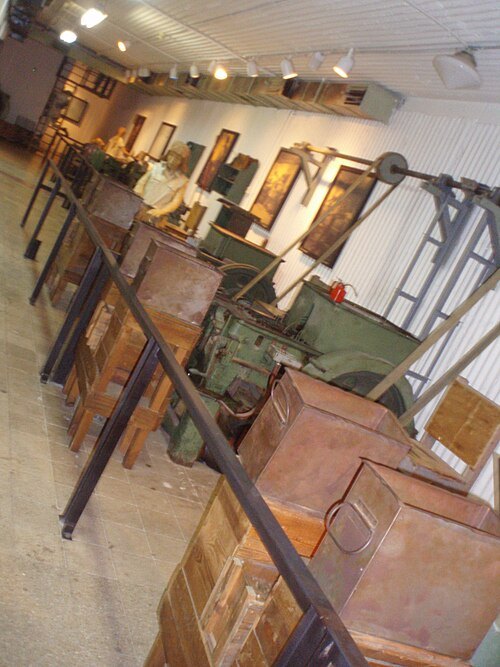 museum
Machon Ayalon
historical site in Rehovot, Israel
Getting there Nearest stop or station Rechovot, about 13 min on foot OpenStreetMap
- synagogue
Yeshurun Central Synagogue
The first Synagogue in Gedera, Israel
Getting there Nearest stop or station Gedera central bus station, about 3 min on foot OpenStreetMap
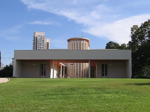
אילנה שקולניק ilana shkolnik / CC BY 2.5
museumWeizmann House
Getting there Nearest stop or station Rechovot, about 18 min on foot OpenStreetMap
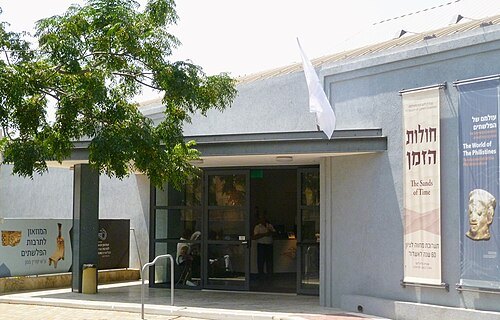 museum
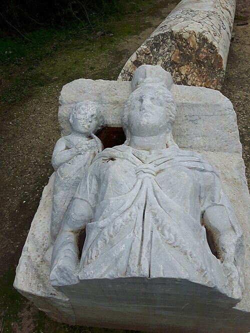
Museum of Philistine Culture
museum in Israel
Getting there Nearest stop or station Ashdod Central Bus Station, about 15 min on foot OpenStreetMap
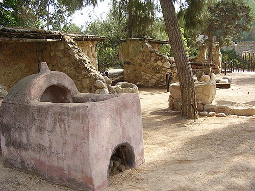
- amusement park
Superland
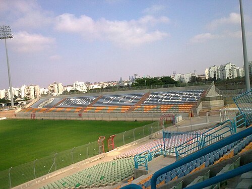 association football venue
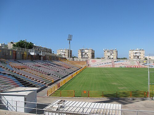
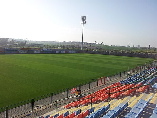
Sala Stadium
football stadium in Ashkelon
Getting there Nearest stop or station Ashkelon Central Bus Station, about 5 min on foot OpenStreetMap
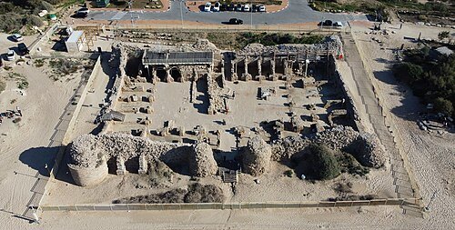
Itay Shoval and Yoram Shoval / CC BY-SA 4.0
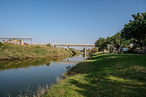
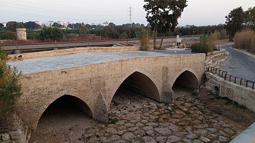
bridgeAd Halom Bridge
bridge in Ashdod, Israel
Getting there Nearest stop or station Ashdod–Ad Halom–Metropol, about 15 min on foot OpenStreetMap
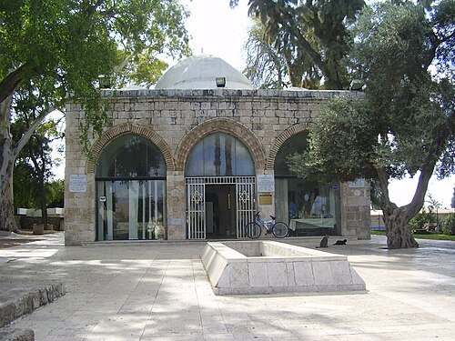 mausoleum
 of Abu Huraira
Tomb and synogogue in Yavne, Israel
Getting there Nearest stop or station Yavne - East, about 11 min on foot OpenStreetMap
- shrine
Shrine of Husayn's Head
former Fatimid-era Shi'a shrine in Palestine
Getting there Nearest stop or station Ashkelon Central Bus Station, about 12 min on foot OpenStreetMap
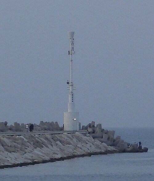
File:Ashkelon Marina Breakwater Light.jpg: bbzz derivative work: Muhandes (talk) / CC BY-SA 3.0
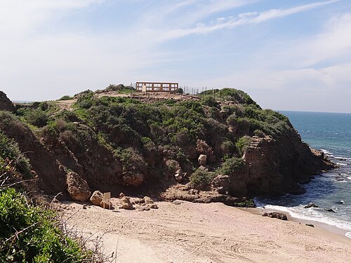
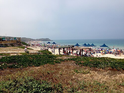 protected area
Palmachim beach
nature park in Israel
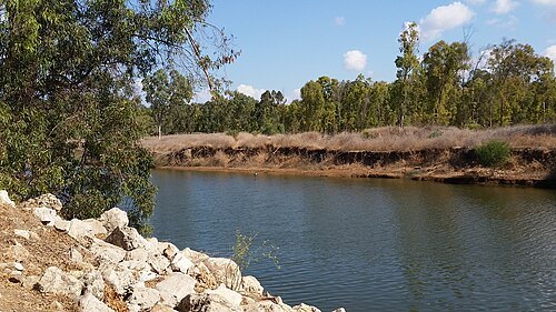
Rachel Pelner (רחל פלנר) / CC BY-SA 3.0
protected areaNahal Rubin
- bridge
Yibna Bridge
bridge in Israel
Getting there Nearest stop or station Yavne - East, about 19 min on foot OpenStreetMap
 square
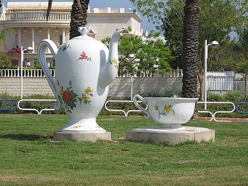
Yanka Kupala square
square in Ashdod, Israel
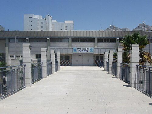 sports venue
HaKiriya Arena
sports arena in Ashdod, Israel
Getting there Nearest stop or station Ashdod Central Bus Station, about 6 min on foot OpenStreetMap
- dune
Ashdod Sand Dune
Getting there Nearest stop or station Ashdod–Ad Halom–Metropol, about 15 min on foot OpenStreetMap
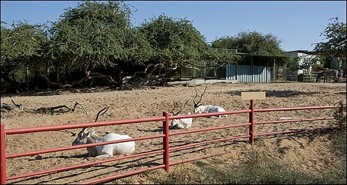 park
Lakhish Park
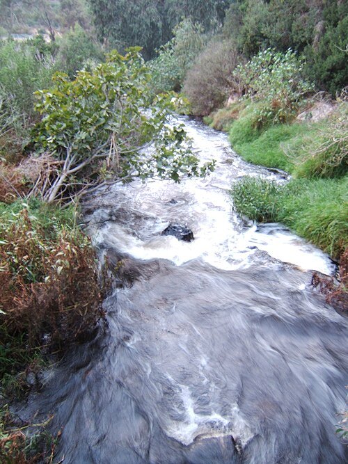
Park in Ashdod, Israel, along the Lakhish River
- hill
Tel Shalaf
hill in Central District, Israel
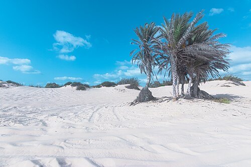
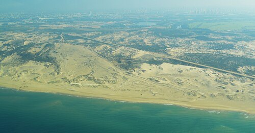 dune
Rishon LeZion-Holon sands
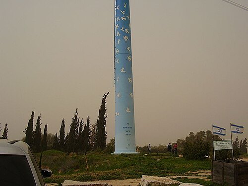
- hill
al-Farānī
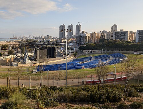 theatre building
Amphi Ashdod
Theatre in Ashdod
Getting there Nearest stop or station Ashdod Central Bus Station, about 14 min on foot OpenStreetMap
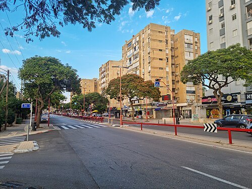 street
Rogosin Street
street in Ashdod, Israel
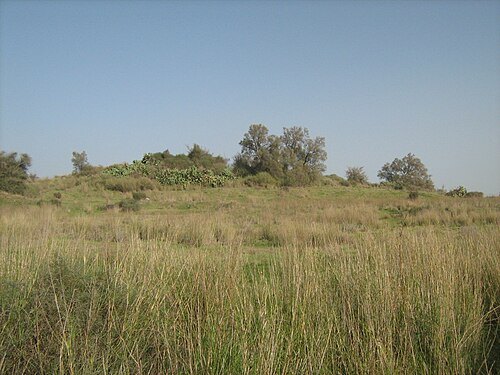 national park
Tel Ashdod
archaeological site in Israel
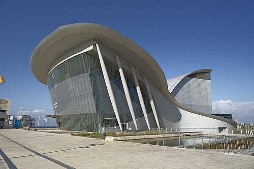 theatre building
Ashdod Performing Arts Center
performing arts center in Ashdod, Israel
Getting there Nearest stop or station Ashdod Central Bus Station, about 3 min on foot OpenStreetMap
- fire lookout tower
Masua Scenic Lookout


Places to eat
- cafe
Texas
Food: steak house
Nothing here matches that. Clear a filter and try again.
Opening hours and tickets: OpenStreetMap contributors. Each one shows the day a volunteer last wrote it down, so check the official site before you set out.