Waterford: what to see and where to eat
Everything below comes from open data and each row says where it came from. We have not been to any of these places and we do not rank them.
Filters
Things to see
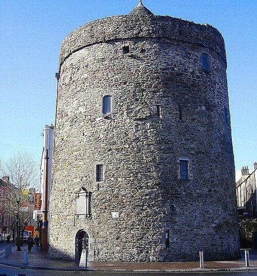 fortified tower
Reginald's Tower
castle in Waterford, Ireland
Getting there Nearest stop or station Waterford Bus Station, about 12 min on foot OpenStreetMap
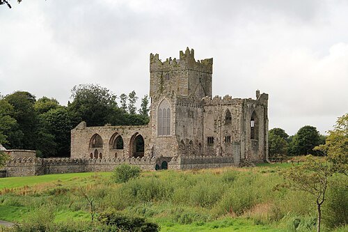
- arboretum
John F. Kennedy Arboretum
arboretum
Getting there Nearest stop or station JFK Memorial Park Miniature Railway, about 11 min on foot OpenStreetMap
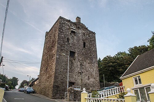
Alanna Milbourne / CC BY-SA 4.0
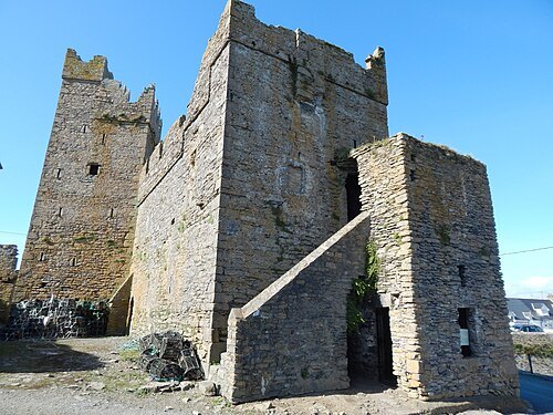
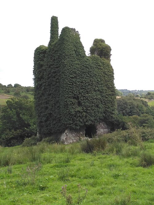
tower houseBallyhack Castle
tower house in County Wexford, Ireland
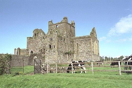
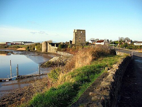 castle
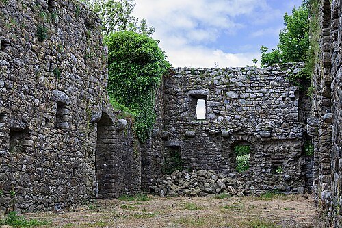
Granagh Castle
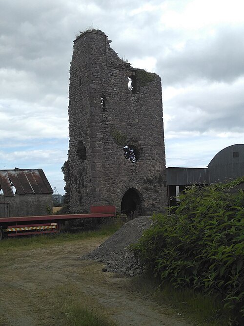
ruin of a castle in Co. Kilkenny, Ireland
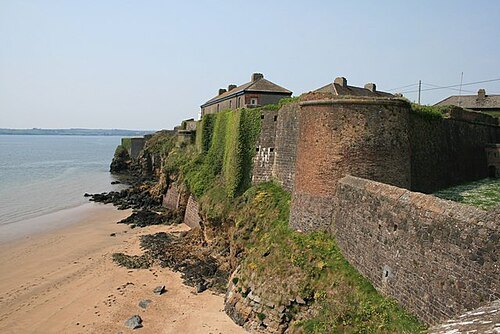
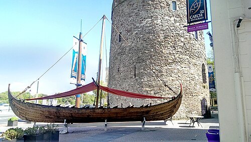 historic district
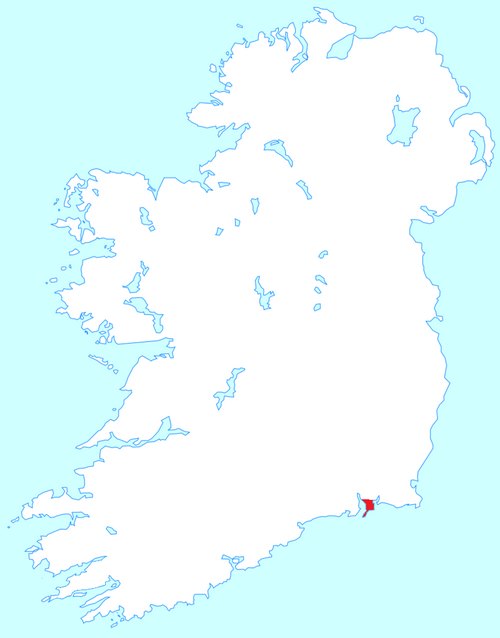
Waterford Viking Triangle
Historical centre of Waterford, Ireland.
Getting there Nearest stop or station Waterford Bus Station, about 14 min on foot OpenStreetMap
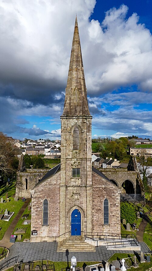
 catholic cathedral
Cathedral of the Most Holy Trinity, Waterford
church in Waterford, Ireland
Getting there Nearest stop or station Waterford Bus Station, about 6 min on foot OpenStreetMap
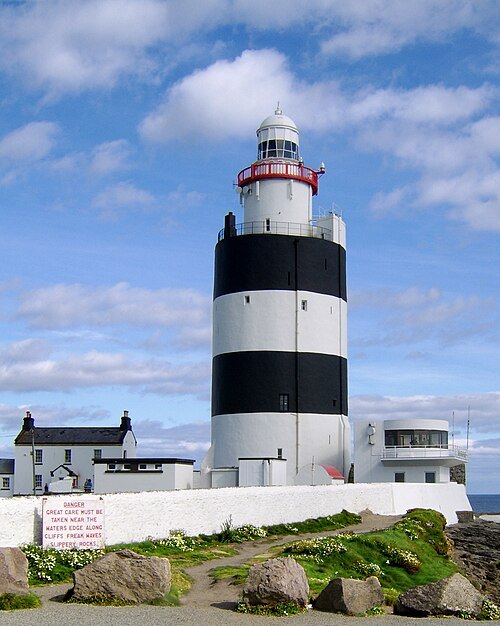
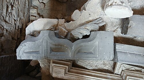 anglican or episcopal cathedral
Christ Church Cathedral, Waterford
church in Ireland
Getting there Nearest stop or station Waterford Bus Station, about 11 min on foot OpenStreetMap
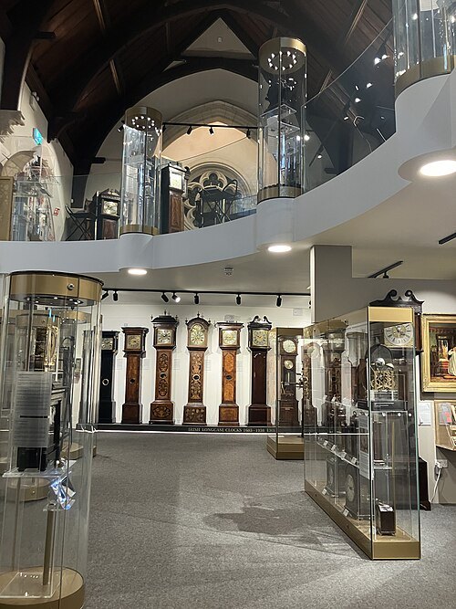 museum
Irish Museum of Time
museum
Getting there Nearest stop or station Waterford Bus Station, about 11 min on foot OpenStreetMap
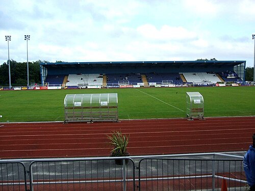
- public library
Waterford City Library
public library
Getting there Nearest stop or station Waterford Bus Station, about 9 min on foot OpenStreetMap
- amusement park
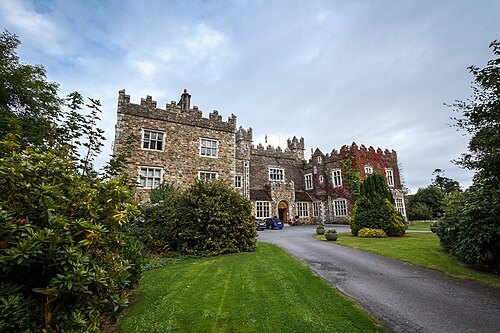
Celtworld
defunct educational amusement park
Getting there Nearest stop or station Tramore Miniature Railway, about 4 min on foot OpenStreetMap
 city hall
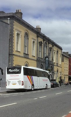
City Hall, Waterford
municipal Building in Ireland
Getting there Nearest stop or station Waterford Bus Station, about 12 min on foot OpenStreetMap
 road bridge
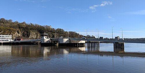
Rice Bridge
bridge in Waterford, County Waterford, Ireland
Getting there Nearest stop or station Waterford Plunkett, about 3 min on foot OpenStreetMap
Sun Ladder's edit of Wikipedia user Lorcan's original image / CC BY-SA 3.0
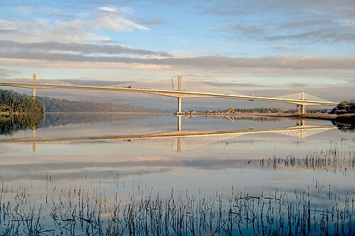
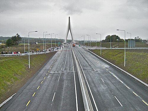
cable-stayed bridgeRiver Suir Bridge
cable-stayed bridge
Getting there Nearest stop or station Bilberry, about 19 min on foot OpenStreetMap
- sports venue
Walsh Park
sports stadium in Waterford, Ireland
Getting there Nearest stop or station Waterford Bus Station, about 19 min on foot OpenStreetMap


Places to eat
- restaurant
L'Atmosphere
Food: french
Nothing here matches that. Clear a filter and try again.
Opening hours and tickets: OpenStreetMap contributors. Each one shows the day a volunteer last wrote it down, so check the official site before you set out.