Galway: what to see and where to eat
Everything below comes from open data and each row says where it came from. We have not been to any of these places and we do not rank them.
Filters
Things to see
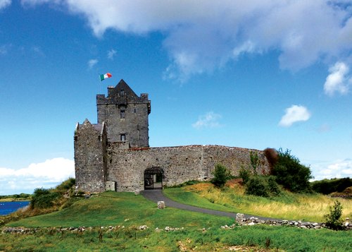
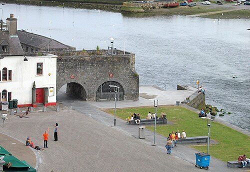 arch
The Spanish Arch
arch and square in Galway city, Ireland
Getting there Nearest stop or station Aran Islands Ferry, about 7 min on foot OpenStreetMap
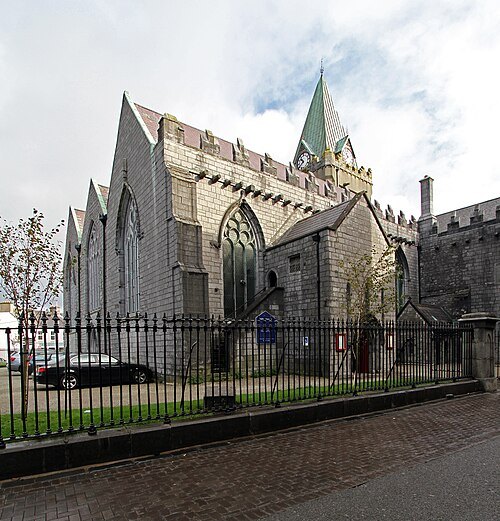 church building
St. Nicholas' Collegiate Church
church in Galway, Ireland
Getting there Nearest stop or station Galway Bus Station, about 7 min on foot OpenStreetMap
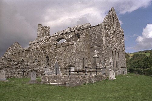
 city museum
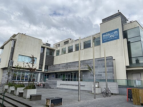
Galway City Museum
local authority museum in Galway City, Ireland
Getting there Nearest stop or station Aran Islands Ferry, about 7 min on foot OpenStreetMap
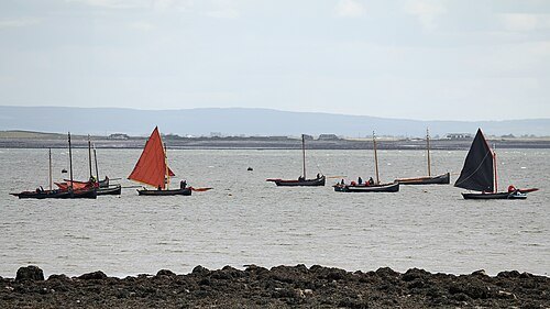
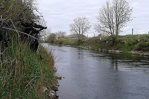
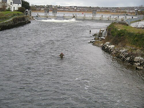 river
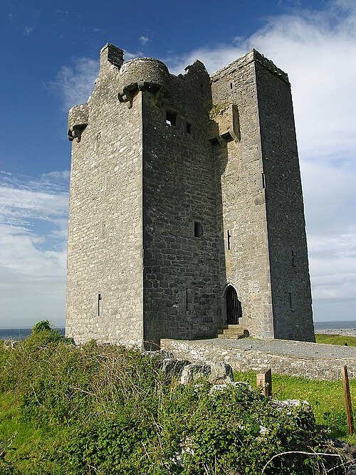
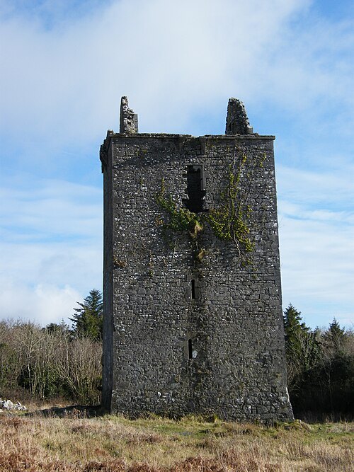
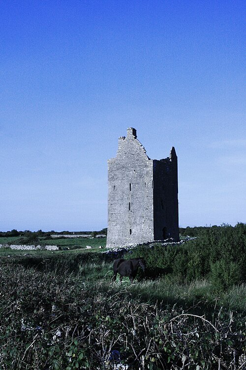
River Corrib
river in Ireland
Getting there Nearest stop or station Aran Islands Ferry, about 6 min on foot OpenStreetMap
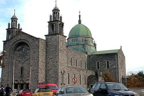
Mohd Fazlin Mohd Effendy Ooi / CC BY 2.0
catholic cathedralCathedral of Our Lady Assumed into Heaven and St Nicholas, Galway
church in County Galway, Ireland
Getting there Nearest stop or station Corrib Princess, about 7 min on foot OpenStreetMap
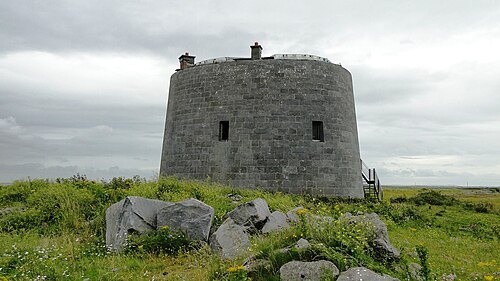
- show cave
Aillwee Cave
James Gallagher from Galway, Ireland / CC BY-SA 2.0
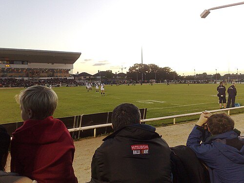
stadiumDexcom Stadium
stadium
Getting there Nearest stop or station Galway Coach Station, about 9 min on foot OpenStreetMap
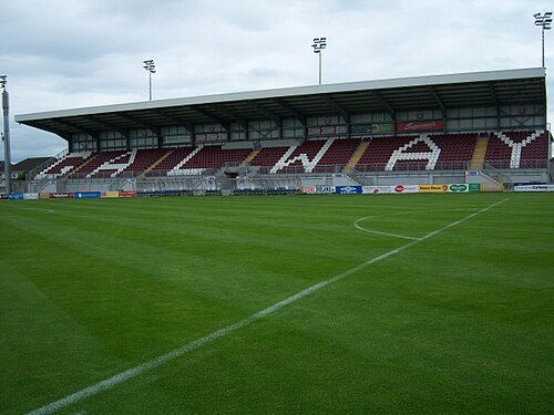 stadium
Eamonn Deacy Park
football stadium in Galway, Ireland
Getting there Nearest stop or station Corrib Princess, about 10 min on foot OpenStreetMap
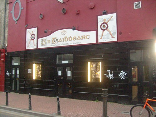 theatre building
An Taibhdhearc - Amharclann Náisiúnta na Gaeilge
National Irish language theatre
Getting there Nearest stop or station Galway Ceannt, about 7 min on foot OpenStreetMap
Arnold Unterholzner from Schlanders, Italy / CC BY 2.0
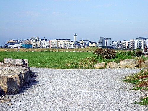
seaside resortSalthill
seaside area in Galway, Ireland
Getting there Nearest stop or station Leisureland Express, about 11 min on foot OpenStreetMap
Sharon Hahn Darlin / CC BY 2.0
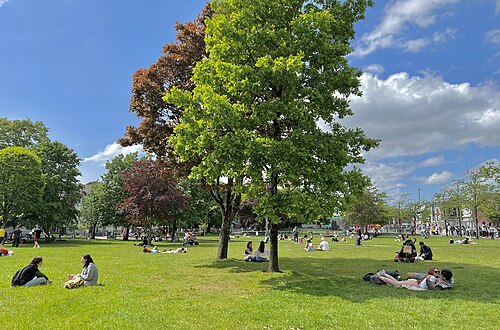
squareEyre Square
public park in Galway, Ireland
Getting there Nearest stop or station Galway Bus Station, about 2 min on foot OpenStreetMap
- stadium
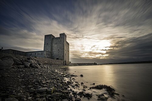
Pearse Stadium
sports venue in Galway, Ireland
Getting there Nearest stop or station Leisureland Express, about 9 min on foot OpenStreetMap
Sulmac at English Wikipedia / Public domain
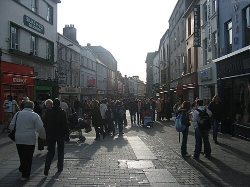
streetShop Street
street in Galway City, Ireland
Getting there Nearest stop or station Galway Bus Station, about 6 min on foot OpenStreetMap
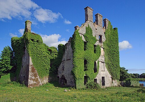
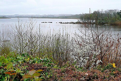
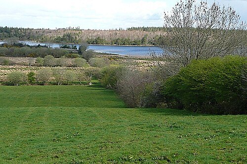
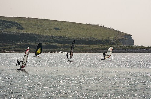
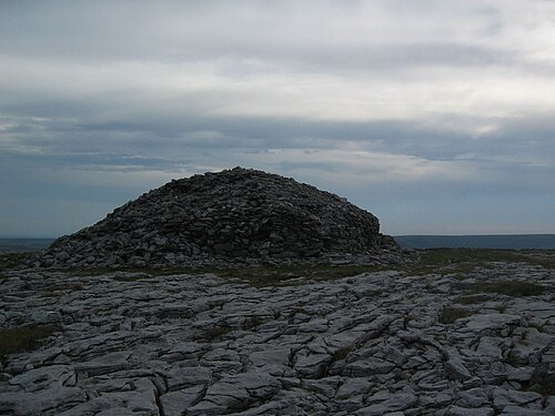 hill
Turlough Hill
hill in County Clare, Ireland
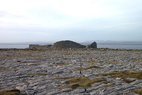 fort
Caherdooneerish Stone Fort
stone fort in County Clare, Ireland
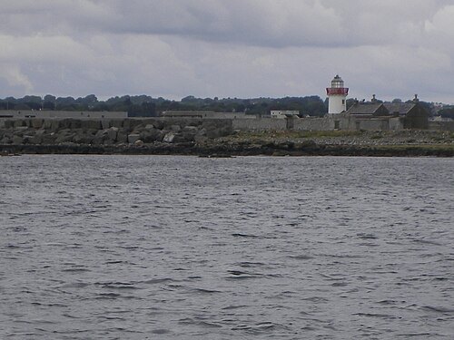
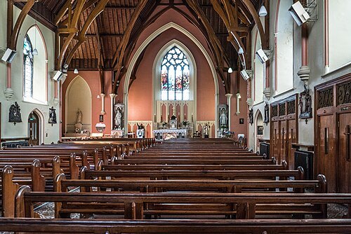 church building
St Ignatius Church, Galway
church building in Galway, Ireland
Getting there Nearest stop or station Aran Islands Ferry, about 15 min on foot OpenStreetMap
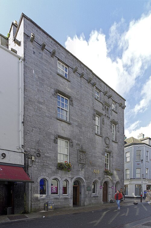
Berthold Werner / CC BY-SA 4.0
castleLynch's Castle
former townhouse, now bank building in Galway
Getting there Nearest stop or station Galway Bus Station, about 6 min on foot OpenStreetMap
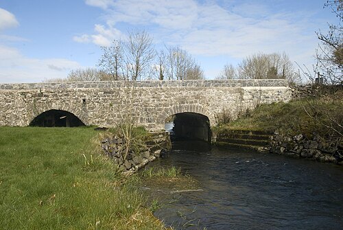
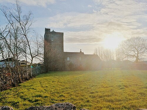
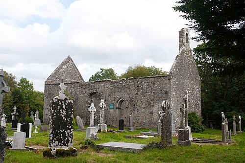
Andreas F. Borchert / CC BY-SA 4.0
cathedralAnnaghdown Cathedral
- public aquarium
Galway Atlantaquaria


Places to eat
- restaurant
Trieste Café & Wine Bar
Food: coffee shop, international
- restaurant
China Town
Food: asian
- restaurant
Olive Tree Bistro
Food: regional, pizza, italian, seasonal, irish, steak house
Nothing here matches that. Clear a filter and try again.
Opening hours and tickets: OpenStreetMap contributors. Each one shows the day a volunteer last wrote it down, so check the official site before you set out.