Dublin: what to see and where to eat
Everything below comes from open data and each row says where it came from. We have not been to any of these places and we do not rank them.
Filters
Things to see
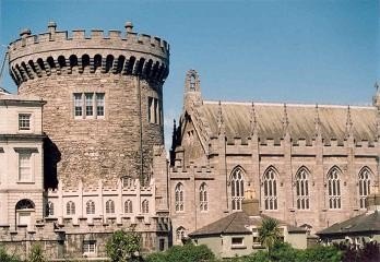 castle
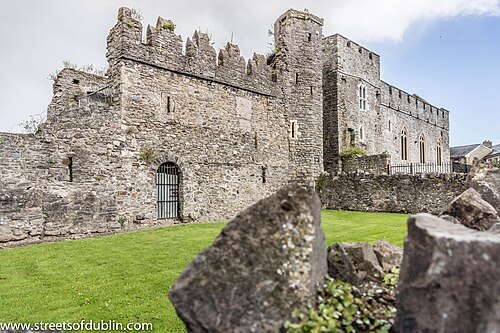
Dublin Castle
castle
Getting there Nearest stop or station Tara Street, about 15 min on foot OpenStreetMap
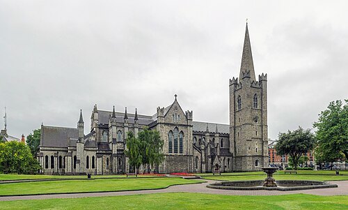
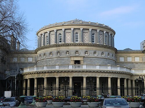 national museum
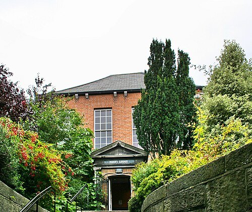
National Library of Ireland
heritage institution
Getting there Nearest stop or station Dublin Pearse, about 7 min on foot OpenStreetMap
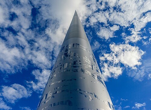 monument
Spire of Dublin
monument in Dublin, Ireland
Getting there Nearest stop or station Tara Street, about 8 min on foot OpenStreetMap
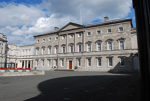 parliament building
Leinster House
building housing the parliament of Ireland
Getting there Nearest stop or station Dublin Pearse, about 8 min on foot OpenStreetMap
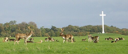
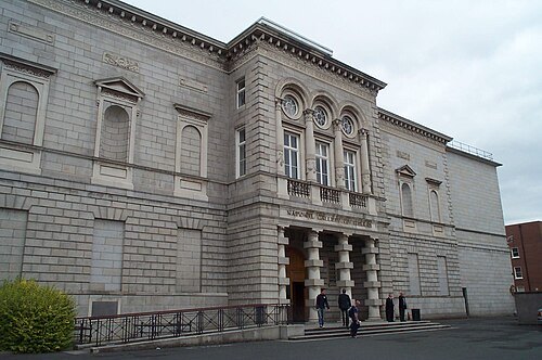
Copyright © 2006 Kaihsu Tai / CC BY-SA 3.0
national museumNational Gallery of Ireland
art museum in Dublin
Getting there Nearest stop or station Dublin Pearse, about 6 min on foot OpenStreetMap
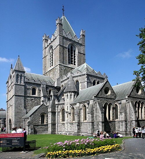 anglican or episcopal cathedral
Christ Church Cathedral, Dublin
Diocesan cathedral of Dublin and Glendalough, Church of Ireland
Getting there Nearest stop or station Tara Street, about 19 min on foot OpenStreetMap
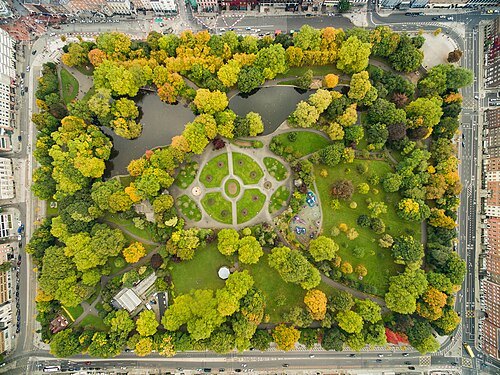
Dronepicr (edited by King of Hearts) Edit corrects CA and sharpens image / CC BY 3.0
urban parkSaint Stephen's Green
public park in central Dublin, Ireland
Getting there Nearest stop or station Dublin Pearse, about 14 min on foot OpenStreetMap
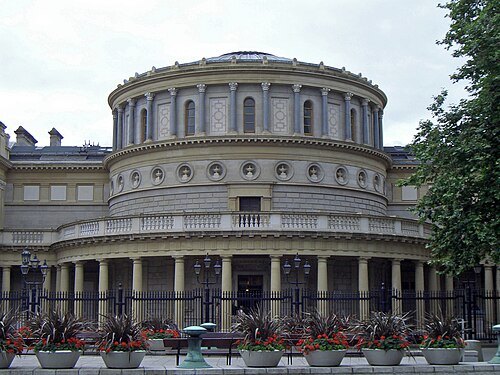
Photograph by Mike Peel (www.mikepeel.net). / CC BY-SA 4.0
military museumNational Museum of Ireland
national museum in Dublin and Castlebar, Ireland
Getting there Nearest stop or station Dublin Pearse, about 8 min on foot OpenStreetMap
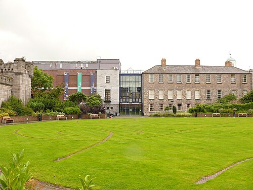 art museum
Chester Beatty Library
Library and museum in Dublin, Ireland
Getting there Nearest stop or station Tara Street, about 16 min on foot OpenStreetMap
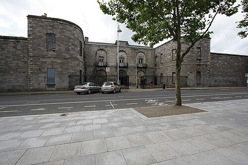 prison museum
Kilmainham Gaol
former prison in Ireland
Getting there Nearest stop or station Dublin Heuston, about 19 min on foot OpenStreetMap
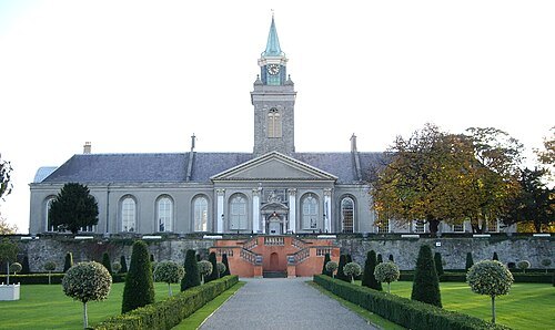 art gallery
Irish Museum of Modern Art
art museum in Dublin
Getting there Nearest stop or station Dublin Heuston, about 10 min on foot OpenStreetMap
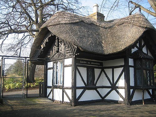 zoo
Dublin Zoo
zoo
Getting there Nearest stop or station Dublin Heuston, about 17 min on foot OpenStreetMap
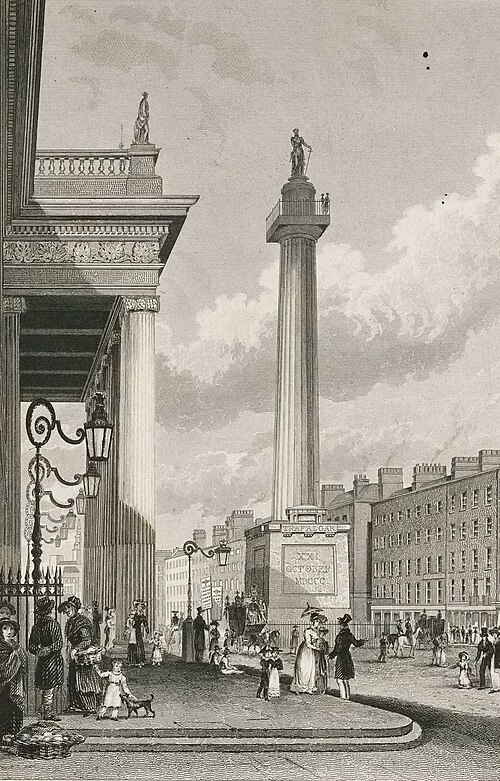
Fisher, H. Son and Co; George Petrie; R. Winkles / Public domain
victory columnNelson's Pillar
former column and statue in Dublin, Ireland
Getting there Nearest stop or station Tara Street, about 8 min on foot OpenStreetMap
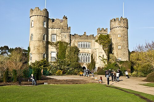
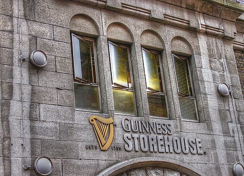 museum
Guinness Storehouse
Museum and visitor attraction in Dublin, Ireland
Getting there Nearest stop or station Dublin Heuston, about 10 min on foot OpenStreetMap
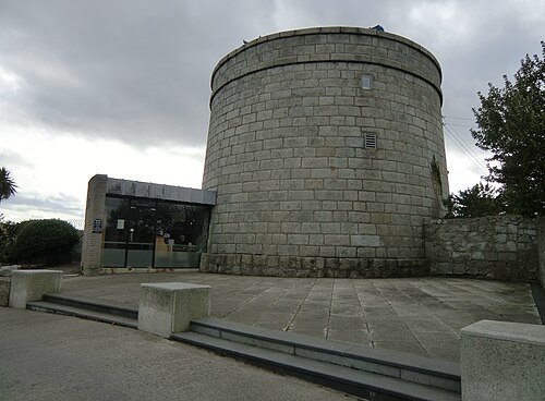 museum
James Joyce Tower and Museum
museum in Dublin, Republic of Ireland
Getting there Nearest stop or station Sandycove and Glasthule, about 14 min on foot OpenStreetMap
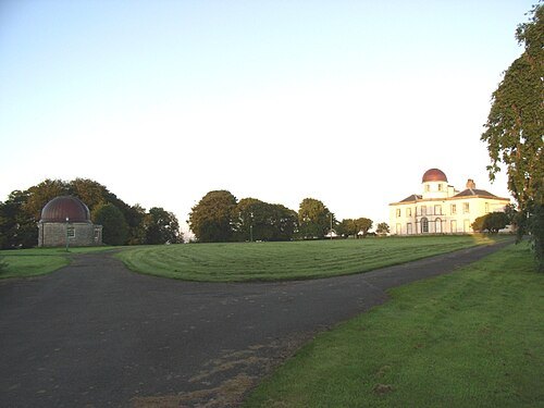 astronomical observatory
Dunsink Observatory
observatory
Getting there Nearest stop or station Navan Road Parkway, about 18 min on foot OpenStreetMap
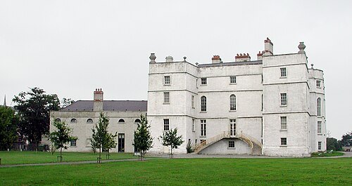
 art gallery
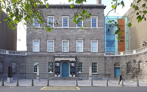
Hugh Lane Gallery
art gallery in Parnell Square North, Dublin
Getting there Nearest stop or station Busáras, about 15 min on foot OpenStreetMap
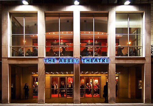
Flickr user bjaglin / CC BY 2.0
theatre companyAbbey Theatre
theatre in Dublin, Ireland
Getting there Nearest stop or station Tara Street, about 4 min on foot OpenStreetMap
- rugby union venue
Aviva Stadium
football and rugby stadium in Dublin
Getting there Nearest stop or station Lansdowne Road, about 2 min on foot OpenStreetMap
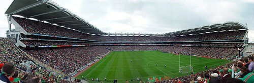
Photograph by John H. Nolan; original uploader was Hetch at en.wikipedia / Public domain
stadiumCroke Park
sports venue in Dublin, Ireland
Getting there Nearest stop or station Drumcondra, about 9 min on foot OpenStreetMap
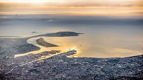
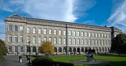
Patrick Theiner / CC BY-SA 3.0
libraryLibrary of Trinity College Dublin
library in Dublin, Ireland
Getting there Nearest stop or station Tara Street, about 6 min on foot OpenStreetMap
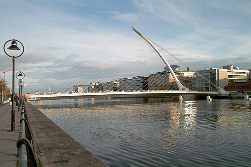 road bridge
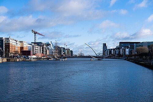
Samuel Beckett Bridge
cable-stayed bridge in Dublin, Ireland
Getting there Nearest stop or station Docklands, about 7 min on foot OpenStreetMap
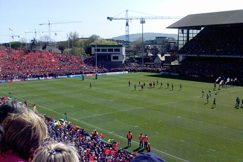
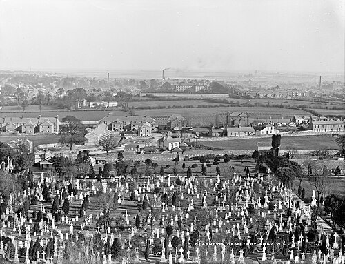
Robert French / No restrictions
cemeteryGlasnevin Cemetery
cemetery in Glasnevin, Dublin, Ireland; largest non-denominational cemetery in the country
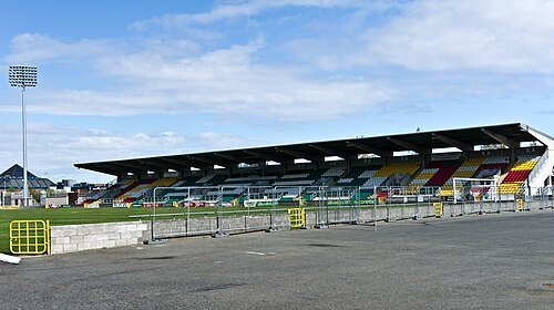
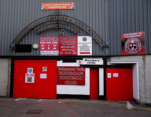
Bjørn Christian Tørrissen / CC BY-SA 3.0
association football venueDalymount Park
football stadium in Dublin, Ireland
Getting there Nearest stop or station Drumcondra, about 17 min on foot OpenStreetMap
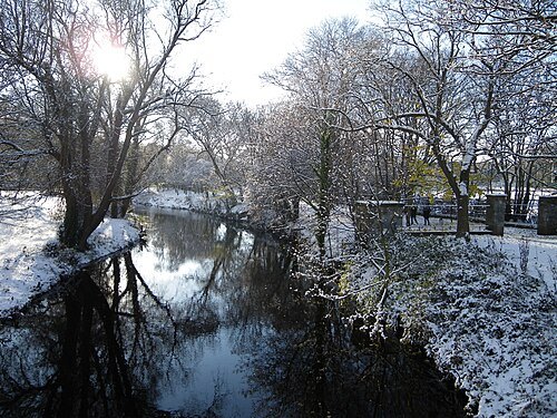
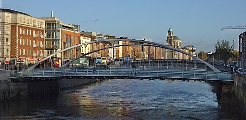 road bridge
James Joyce Bridge
bridge in Dublin, Ireland
Getting there Nearest stop or station Dublin Heuston, about 11 min on foot OpenStreetMap
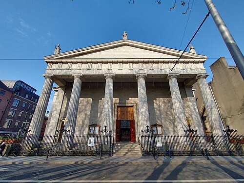 catholic cathedral
St Mary's Cathedral
church in Dublin, Ireland
Getting there Nearest stop or station Busáras, about 8 min on foot OpenStreetMap
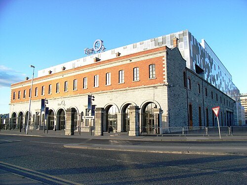 event venue
3Arena
indoor amphitheater in Dublin, Ireland
Getting there Nearest stop or station Cruise Terminal (Berth 18), about 4 min on foot OpenStreetMap
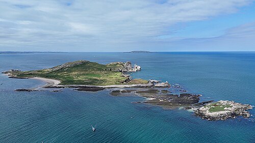
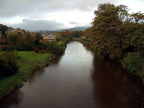
Sarah777 at English Wikipedia / Public domain
riverRiver Dargle
river in Co. Wicklow. Ireland.
Getting there Nearest stop or station Bray Daly, about 8 min on foot OpenStreetMap
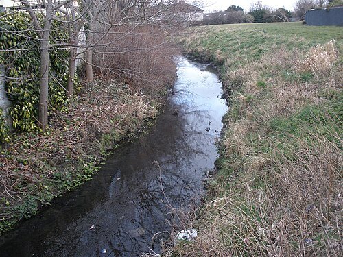
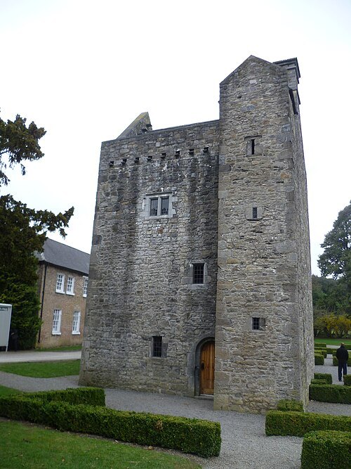
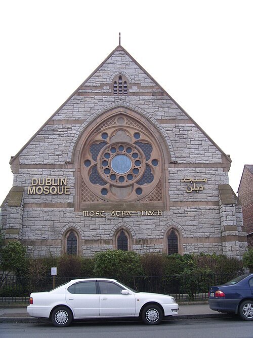
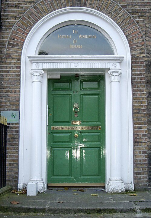
No machine-readable author provided. Jnestorius assumed (based on copyright claims). / Public domain
squareMerrion Square
Georgian garden square on the southside of Dublin city centre
Getting there Nearest stop or station Dublin Pearse, about 6 min on foot OpenStreetMap
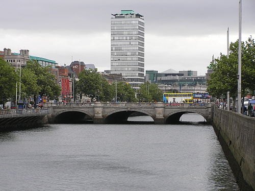 tram bridge
O'Connell Bridge
bridge in Ireland
Getting there Nearest stop or station Tara Street, about 5 min on foot OpenStreetMap
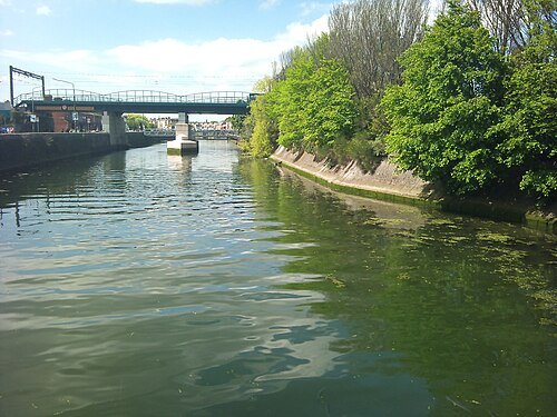
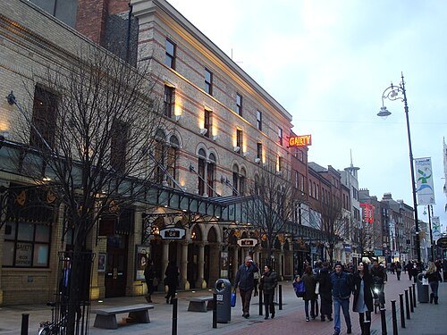 theatre building
Gaiety Theatre
theater building in Dublin, Republic of Ireland
Getting there Nearest stop or station Tara Street, about 14 min on foot OpenStreetMap
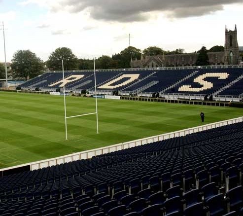 rugby union venue
RDS Arena
stadium in Dublin, Ireland
Getting there Nearest stop or station Sandymount, about 10 min on foot OpenStreetMap
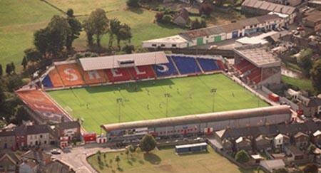 stadium
Tolka Park
football stadium in Dublin, Ireland
Getting there Nearest stop or station Drumcondra, about 10 min on foot OpenStreetMap
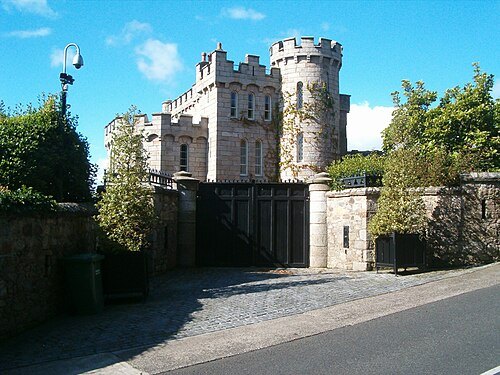 castle
Manderley Castle
castle in Ireland
Getting there Nearest stop or station Killiney, about 13 min on foot OpenStreetMap
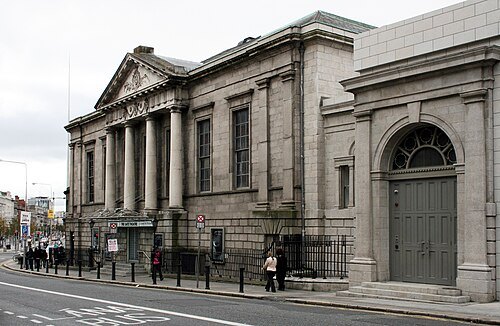 theatre building
Gate Theatre
theatre in Dublin, Ireland
Getting there Nearest stop or station Busáras, about 12 min on foot OpenStreetMap
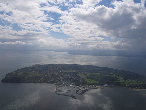
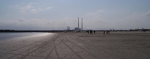
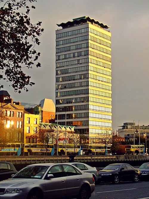
Jaqian at English Wikipedia / CC BY-SA 3.0
skyscraperLiberty Hall
headquarters of the Services, Industrial, Professional, and Technical Union (SIPTU) in Dublin, Ireland
Getting there Nearest stop or station Tara Street, about 2 min on foot OpenStreetMap
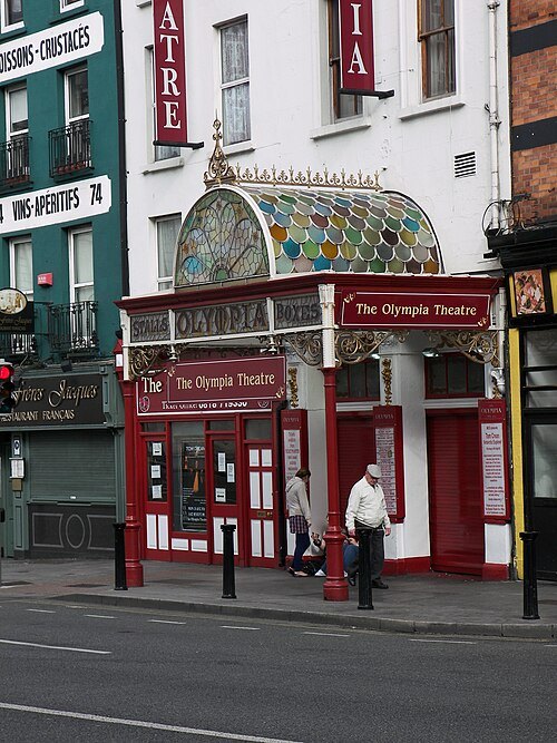 concert hall
Olympia Theatre
concert hall and theatre in Dublin, Ireland
Getting there Nearest stop or station Tara Street, about 13 min on foot OpenStreetMap
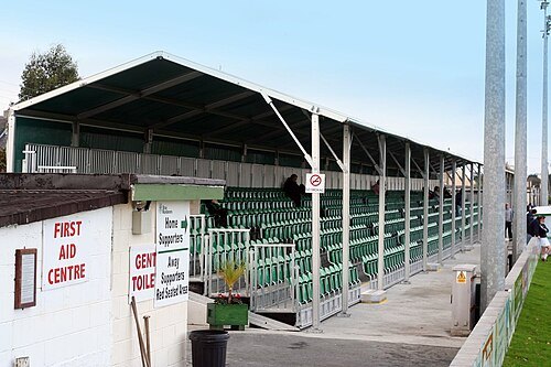
Albert.white at English Wikipedia / Public domain
stadiumCarlisle Grounds
Soccer stadium in Bray, County Wicklow (Ireland)
Getting there Nearest stop or station Bray Daly, about 3 min on foot OpenStreetMap
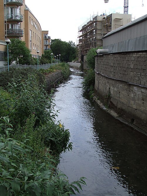
Deitel55 at English Wikipedia / Public domain
riverCamac
river in Ireland
Getting there Nearest stop or station Dublin Heuston, about 1 min on foot OpenStreetMap
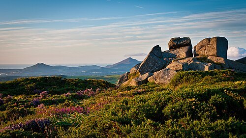
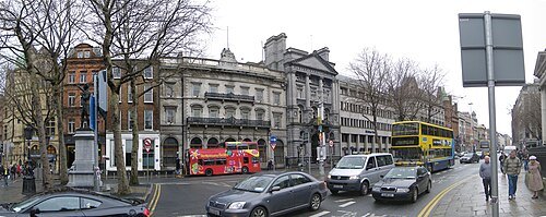 square
College Green
square in the centre of Dublin, Ireland
Getting there Nearest stop or station Tara Street, about 8 min on foot OpenStreetMap
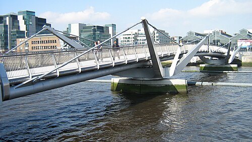 steel bridge
Seán O'Casey Bridge
bridge over the River Liffey in Ireland
Getting there Nearest stop or station Busáras, about 6 min on foot OpenStreetMap
- amusement park
Emerald Park
- ferris wheel
Wheel of Dublin
- water park
Aquazone


Places to eat
- cafe
D2 Bubble Tea
Food: bubble tea, hot dog
- restaurant
Jimmy Chung's
Food: chinese
Nothing here matches that. Clear a filter and try again.
Opening hours and tickets: OpenStreetMap contributors. Each one shows the day a volunteer last wrote it down, so check the official site before you set out.