Tehran: what to see and where to eat
Everything below comes from open data and each row says where it came from. We have not been to any of these places and we do not rank them.
Filters
Things to see
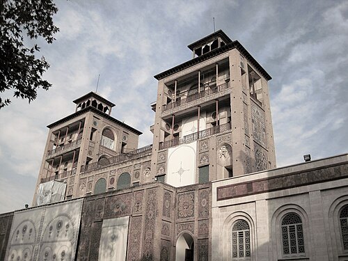 palace
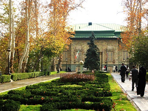
Golestan Palace
palace in Tehran, Iranian national heritage site
Getting there Nearest stop or station Molavi, about 1 min on foot OpenStreetMap
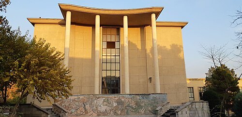 cultural property
University of Tehran
university in Tehran, Iranian national heritage site
Getting there Nearest stop or station Meydan-e Enghelab-e Eslami Metro Station, about 6 min on foot OpenStreetMap
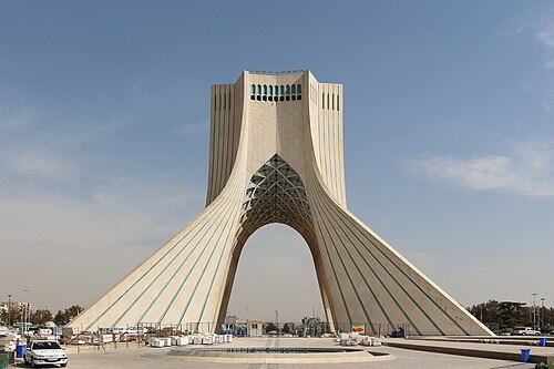 architectural landmark
Azadi Tower
tower in Tehran, Iranian national heritage site
Getting there Nearest stop or station Urban Bus Terminal, about 6 min on foot OpenStreetMap
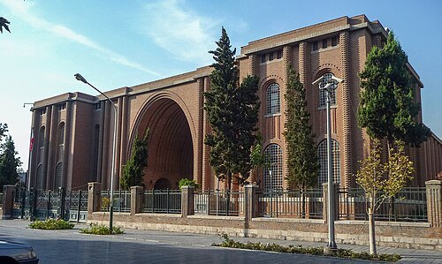 national museum
National Museum of Iran
museum in Tehran, Iran
Getting there Nearest stop or station پایانه اتوبوس فیاض بخش, about 3 min on foot OpenStreetMap
Ninara from Helsinki, Finland / CC BY 2.0
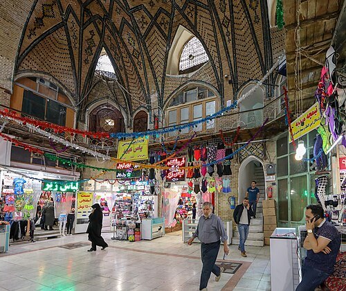
bazaarTehran Grand Bazaar
The historic and grand bazaar in Tehran, Iran's national heritage
Getting there Nearest stop or station Molavi, about 8 min on foot OpenStreetMap
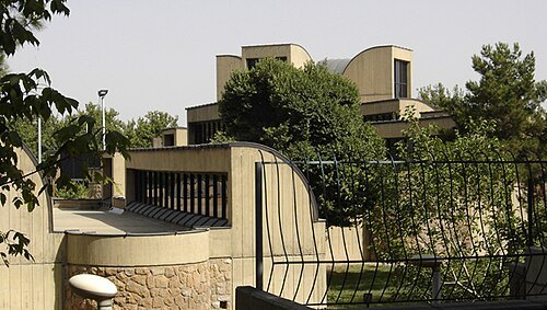
Photo by Zereshk. / CC BY-SA 3.0
contemporary art museumTehran Museum of Contemporary Art
art museum in Tehran, Iran
Getting there Nearest stop or station Kargar Metro Station, about 6 min on foot OpenStreetMap
 national library
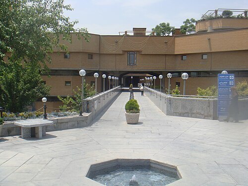
National Library and Archives of Iran
national library in Tehran, Iran
Getting there Nearest stop or station Shahid Hemmat, about 12 min on foot OpenStreetMap
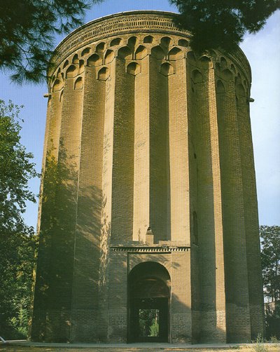
User Zereshk on en.wikipedia / Public domain
mausoleumTughrul Tower
mausoleum tower in Ray, Iranian national heritage site
Getting there Nearest stop or station ایستگاه اتوبوس ورامین, about 10 min on foot OpenStreetMap
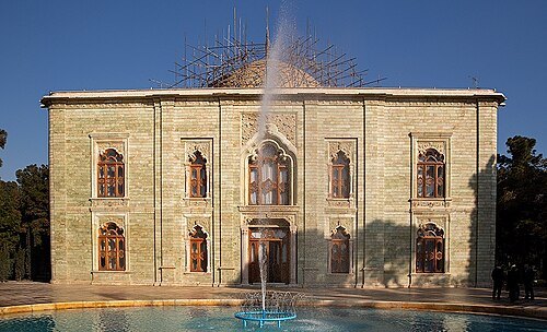 royal palace
Marble Palace
palace in Tehran, Iranian national heritage site
Getting there Nearest stop or station Daneshgah-e Imam Ali metro station, about 5 min on foot OpenStreetMap
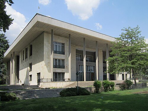 national museum
Niavaran Complex
Iranian national heritage site
Getting there Nearest stop or station ایستگاه جنگلبانی, about 17 min on foot OpenStreetMap
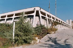 national museum
Carpet Museum of Iran
art museum in Tehran, Iran
Getting there Nearest stop or station Kargar Metro Station, about 2 min on foot OpenStreetMap
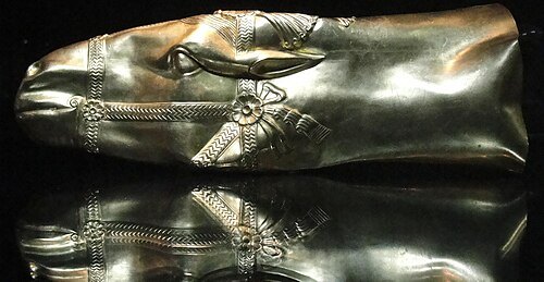 national museum
Reza Abbasi Museum
museum in Tehran, Iran
Getting there Nearest stop or station سیدخندان, about 3 min on foot OpenStreetMap
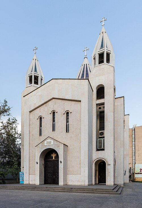 cathedral
Saint Sarkis Cathedral
cathedral in Tehran, Iranian national heritage site
Getting there Nearest stop or station Maryam-e Moghaddas Metro Station, about 1 min on foot OpenStreetMap
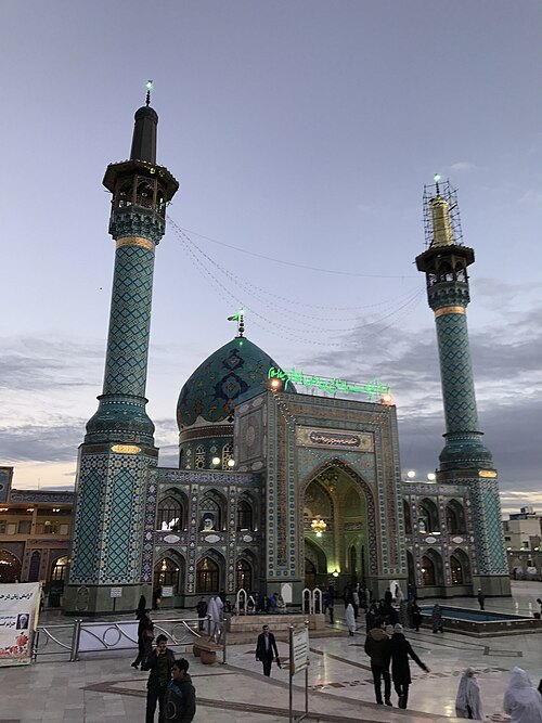 mausoleum
Imamzadeh Saleh
imamzadeh in Tajrish, Iranian national heritage site
Getting there Nearest stop or station Tajrish, about 5 min on foot OpenStreetMap
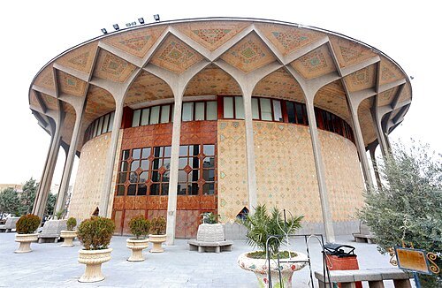 theatre building
City Theater of Tehran
theater in Tehran, Iranian national heritage site
Getting there Nearest stop or station Teatr-e Shahr Metro Station, about 2 min on foot OpenStreetMap
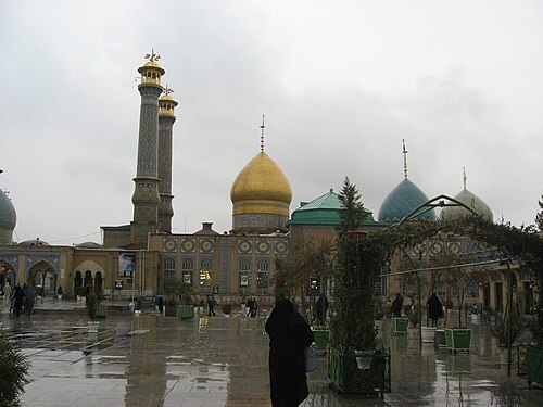
User:Agha Nader / Public domain
mausoleumShah Abdol-Azim Shrine
shrine in Ray, Iranian national heritage site
Getting there Nearest stop or station Rey, about 17 min on foot OpenStreetMap
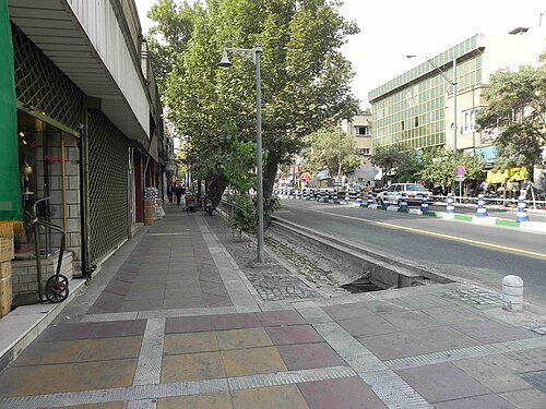 street
Valiasr Street
street in Tehran, Iran
Getting there Nearest stop or station terminal argantin, about 12 min on foot OpenStreetMap
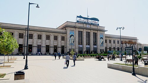 cultural property
Tehran railway station
main railway station & national heritage site in Tehran, Iran
- mausoleum
Reza Shah Mausoleum
destroyed mausoleum in Ray, former Iranian national heritage site
Getting there Nearest stop or station Rey, about 16 min on foot OpenStreetMap
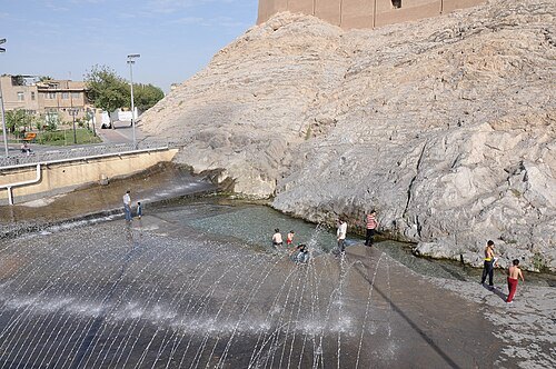
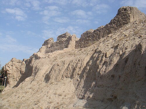 castle
Rashkan Castle
castle in Ray, Iranian national heritage site
Getting there Nearest stop or station ایستگاه اتوبوس ورامین, about 20 min on foot OpenStreetMap
Mmahmoodzadeh photos / CC BY 4.0
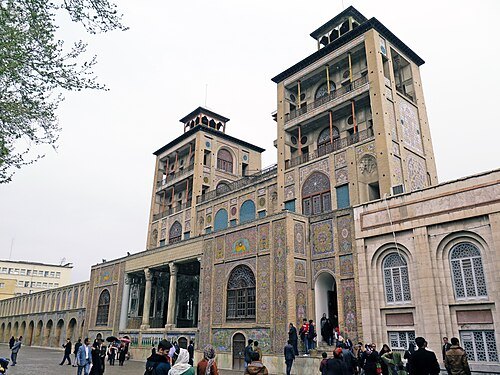
palaceShams-ol-Emareh
palace in Tehran, Iran
Getting there Nearest stop or station Molavi, about 4 min on foot OpenStreetMap
- national museum
Treasury of National Jewels
museum in Tehran, Iran
Getting there Nearest stop or station Sa'di, about 7 min on foot OpenStreetMap
 national museum
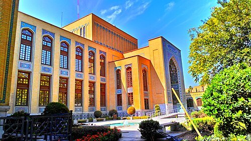
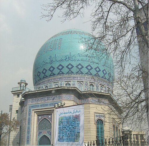
Malek National Library and Museum
national museum and library in Tehran, Iranian national heritage site
Getting there Nearest stop or station پایانه اتوبوس فیاض بخش, about 4 min on foot OpenStreetMap
Agha Nader at English Wikipedia / CC BY-SA 3.0
mosqueErshad Hussainiya
hussainiya and mosque in Tehran, Iranian national heritage site
Getting there Nearest stop or station Bas Station - Shariati, Chitgar Subway, about 9 min on foot OpenStreetMap
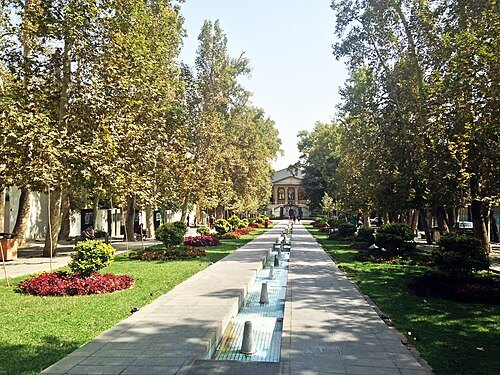
Mahmoodreza Mohajerani / CC BY-SA 4.0
cultural propertyFerdows Garden
garden in Tehran, Iranian national heritage site
Getting there Nearest stop or station Tajrish, about 17 min on foot OpenStreetMap
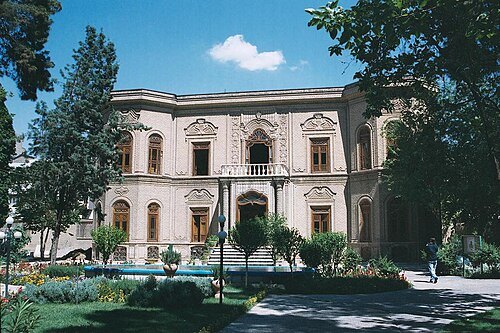
Philippe Chavin (Simorg) / CC BY-SA 3.0
art museumAbgineh Museum of Tehran
museum in Tehran, Iranian national heritage site
Getting there Nearest stop or station Sa'di, about 13 min on foot OpenStreetMap
- mosque
Sepahsalar Mosque
mosque in Tehran, Iranian national heritage site
Getting there Nearest stop or station بهارستان, about 2 min on foot OpenStreetMap
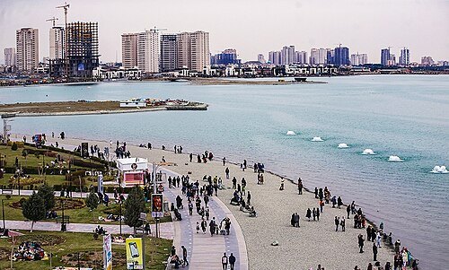 artificial lake
Chitgar Lake
lake in Tehran, Iran
Getting there Nearest stop or station Daryache Terminal, about 19 min on foot OpenStreetMap
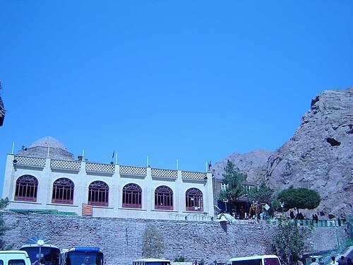
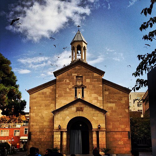
sepideh.sadafi@gmail.com / CC BY-SA 4.0
church buildingSaint Mary Armenian Church
church in Tehran, Iranian national heritage site
Getting there Nearest stop or station Ferdowsi metro station, about 12 min on foot OpenStreetMap
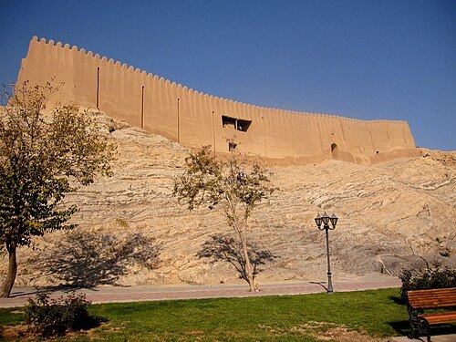 castle
Ray Castle
castle in Ray, Iranian national heritage site
Getting there Nearest stop or station ایستگاه اتوبوس ورامین, about 20 min on foot OpenStreetMap
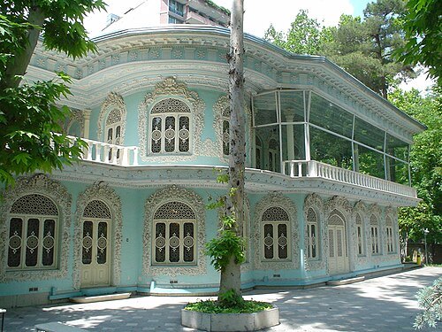 mansion
Hossein Khodadad House
mansion in Tehran, Iranian national heritage site
Getting there Nearest stop or station Tajrish, about 20 min on foot OpenStreetMap
- summit
Tehran Conference
strategy meeting of the leaders of the USSR, the USA, and the UK in Tehran in 1943 during World War 2
Getting there Nearest stop or station Ferdowsi metro station, about 8 min on foot OpenStreetMap
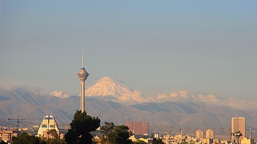
سید محمود جوادی / CC BY 3.0
observation towerMilad Tower
tower in Tehran, Iran
Getting there Nearest stop or station Borj-e Milad-e Tehran metro station, about 7 min on foot OpenStreetMap
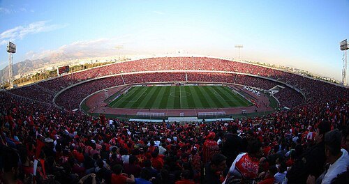
Mahdi Zare/Fars News Agency / CC BY 4.0
association football venueAzadi Stadium
football stadium in Tehran, Iran
Getting there Nearest stop or station Varzeshgah-e Azadi, about 16 min on foot OpenStreetMap
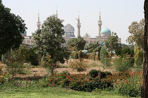
Ninara from Helsinki, Finland / CC BY 2.0
mausoleumimam Khomeini Mausoleum
mausoleum in metropolitan Tehran, Iran
Getting there Nearest stop or station Haram-e Motahar-e Imam Khomeini, about 12 min on foot OpenStreetMap
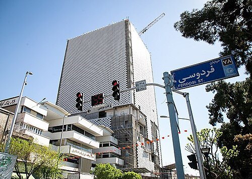 skyscraper
Plasco Building
office building in Tehran, Iran
Getting there Nearest stop or station Sa'di, about 6 min on foot OpenStreetMap
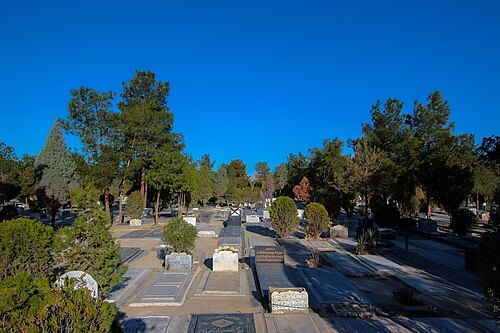 cemetery
Behesht-e Zahra
cemetery in metropolitan Tehran, Iran
Getting there Nearest stop or station Haram-e Motahar-e Imam Khomeini, about 16 min on foot OpenStreetMap
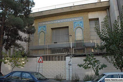 synagogue
Yusef Abad Synagogue
synagogue in Tehran, Iran
Getting there Nearest stop or station Mirza-ye Shirazi Metro Station, about 11 min on foot OpenStreetMap
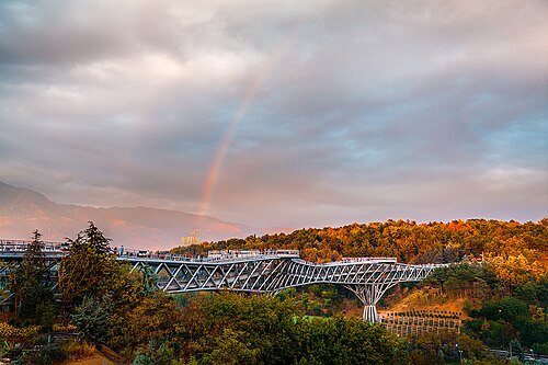
Diba Tensile Architecture / CC BY-SA 4.0
steel bridgeTabiat Bridge
bridge in Tehran, Iran
Getting there Nearest stop or station Shahid Haghani, about 9 min on foot OpenStreetMap
- stadium
Shahid Shiroudi Stadium
sports venue
Getting there Nearest stop or station Ayatollah Taleghani, about 6 min on foot OpenStreetMap
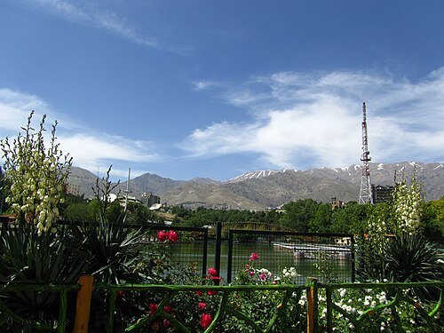
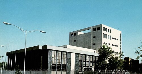
Tehran Pariroz / Public domain
concert hallVahdat Hall
concert hall In Tehran, Iran
Getting there Nearest stop or station Teatr-e Shahr Metro Station, about 9 min on foot OpenStreetMap
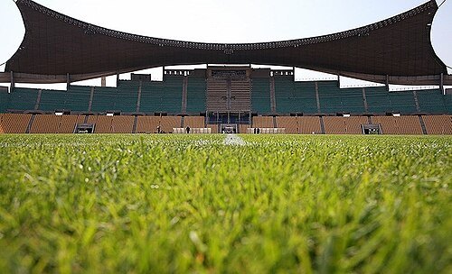
Mahmood Hosseini/Tasnim News Agency / CC BY 4.0
stadiumTakhti Stadium (Tehran)
stadium in Tehran, Iranian national heritage site
Getting there Nearest stop or station Varzeshgah-e Takhti, about 10 min on foot OpenStreetMap
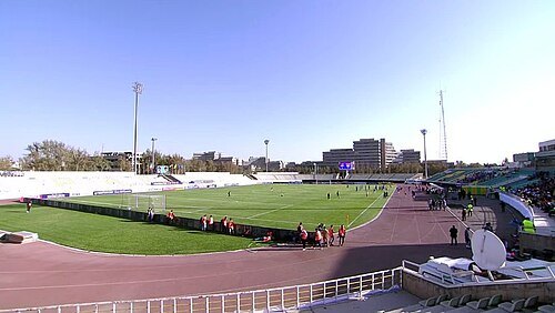
AmirForoozan7030 / CC BY-SA 4.0
stadiumShahid Dastgerdi Stadium
stadium in Tehran, Iran
Getting there Nearest stop or station Sharak-e Ekbatan Metro Station, about 7 min on foot OpenStreetMap
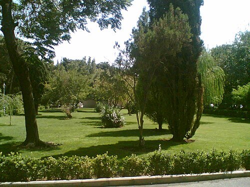
http://fa.wikipedia.org/wiki/User:Iroony / CC BY-SA 3.0
urban parkCity Park
park in Tehran, Iran
Getting there Nearest stop or station پایانه اتوبوس فیاض بخش, about 4 min on foot OpenStreetMap
- stadium
Rah Ahan Stadium
stadium in Tehran, Iran
Getting there Nearest stop or station Sharak-e Ekbatan Metro Station, about 11 min on foot OpenStreetMap
- square
Imam Khomeini Square
square in Tehran, Iran
Getting there Nearest stop or station Imam Khomeini Metro Station, about 1 min on foot OpenStreetMap
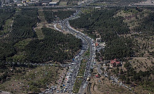 urban park
Chitgar Park
forest park in Tehran, Iran
Getting there Nearest stop or station Iran Khodro metro station, about 18 min on foot OpenStreetMap
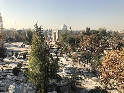 cemetery
Ibn Babawayh Cemetery
cemetery in Ray, Iran
Getting there Nearest stop or station ایستگاه اتوبوس ورامین, about 12 min on foot OpenStreetMap


Places to eat
- cafe
کافه عربی A&M
Food: coffee shop
- cafe
کافه پریش
Food: pizza, coffee shop, burger, asian, juice, pasta, cake, salad, chocolate, dessert, pancake
- restaurant
رستوران ایرانشهر
Food: regional, kebab, chicken, international
- restaurant
رستوران مسینه
Food: خورشت خلال, لقمه سماقی
- restaurant
پیتزا لایف
Food: pasta
- cafe
کافه تاریخ
Food: persian
- cafe
کافه دیسفان
Food: pizza, regional, burger, coffee shop, sandwich, kebab, ice cream, international, fish and chips, vietnamese
- restaurant
رستوران ایتالیایی-ایرانی گیلیار
Food: pizza, italian, burger, sandwich, kebab, american, coffee shop
- restaurant
رستوران فرد جوان
Food: iranian, regional, kebab, kabab, کباب, چلوکباب, جوجه کباب
- cafe
قهوه مارکو
Food: coffee shop
- cafe
محفل جانان
Food: coffee shop
- cafe
کافه دایمند
Food: pizza, pasta, meals, coffee shop, sandwich
- cafe
کافه رستوران دنج
Food: coffee shop, pizza, burger, sandwich, french, ice cream, steak house
Nothing here matches that. Clear a filter and try again.
Opening hours and tickets: OpenStreetMap contributors. Each one shows the day a volunteer last wrote it down, so check the official site before you set out.