Kermanshah: what to see and where to eat

Everything below comes from open data and each row says where it came from. We have not been to any of these places and we do not rank them.

946,651 people live here

Nearest airport: Shahid Ashrafi Esfahani International Airport (KSH), about 9.62 km from the centre

Distances are straight-line and the walking time is an estimate, not a route.

Filters

Things to see

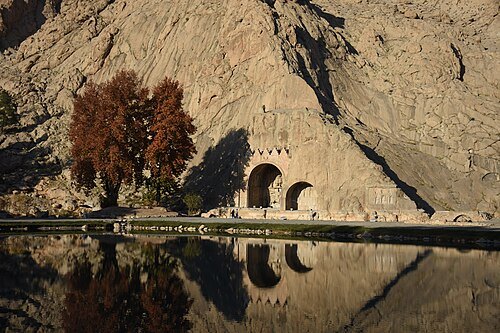
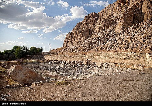
  • Taq-e Bostan

    Ali Heidari - علی حیدری / CC BY-SA 4.0

    archaeological site

    Taq-e Bostan

    archaeological site in Kermanshah, Iranian national heritage site

    Opening hours Not checked

    Admission Not checked

    About 10 km from the city centre

    Map

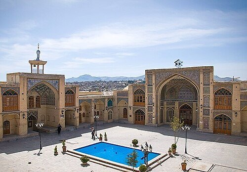
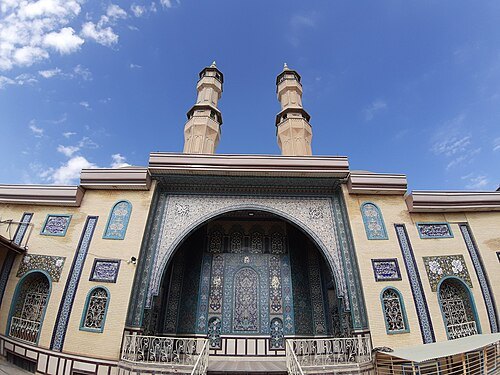
  • Imad al-Dawla Mosque

    Farzad Menati / CC BY 4.0

    mosque

    Imad al-Dawla Mosque

    mosque in Kermanshah, Iranian national heritage site

    Opening hours Not checked

    Admission Not checked

    Getting there Nearest stop or station Bazar, about 1 min on foot OpenStreetMap
    Map

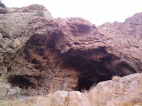
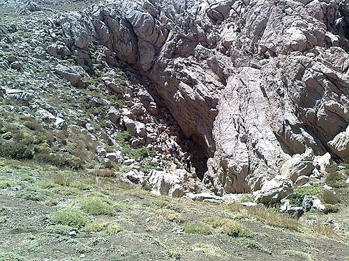
  • Do-Ashkaft Cave

    MyName (Coffeetalkh (talk)) / CC BY-SA 3.0

    archaeological site

    Do-Ashkaft Cave

    cave in Iran

    Opening hours Not checked

    Admission Not checked

    About 11 km from the city centre

    Map

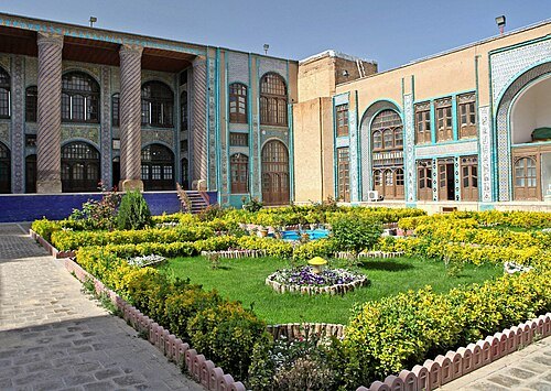
  • Haj Shahbazkhan Mosque

    Arshida 2018 / CC BY-SA 4.0

    mosque

    Haj Shahbazkhan Mosque

    mosque in Kermanshah, Iranian national heritage site

    Opening hours Not checked

    Admission Not checked

    Getting there Nearest stop or station چهار راه مدرس, about 5 min on foot OpenStreetMap
    Map

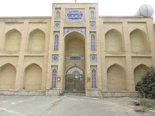
  • Moaven al-Molk Tekiyeh

    Ninara from Helsinki, Finland / CC BY 2.0

    cultural property

    Moaven al-Molk Tekiyeh

    tekiyeh in Kermanshah, Iranian national heritage site

    Opening hours Not checked

    Admission Not checked

    Getting there Nearest stop or station چهار راه مدرس, about 5 min on foot OpenStreetMap
    Map

  • Paraw Cave

    Rezaafsharniakan / CC BY-SA 4.0

    cave

    Paraw Cave

    cave in Kermanshah County, Iran

    Opening hours Not checked

    Admission Not checked

    About 19 km from the city centre

    Map

  • Biglarbeigi Tekiyeh

    IsoGFX / CC BY-SA 4.0

    cultural property

    Biglarbeigi Tekiyeh

    tekiyeh in Kermanshah, Iranian national heritage site

    Opening hours Not checked

    Admission Not checked

    Getting there Nearest stop or station Bazar, about 3 min on foot OpenStreetMap
    Map

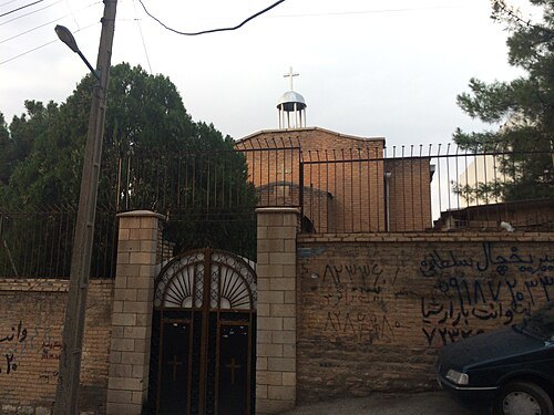
  • Assyrian Pentecostal Church

    Hosseiniran / CC BY-SA 4.0

    church building

    Assyrian Pentecostal Church

    church in Kermanshah, Iranian national heritage site

    Opening hours Not checked

    Admission Not checked

    Getting there Nearest stop or station Meydan-e Jahad, about 5 min on foot OpenStreetMap

    Map

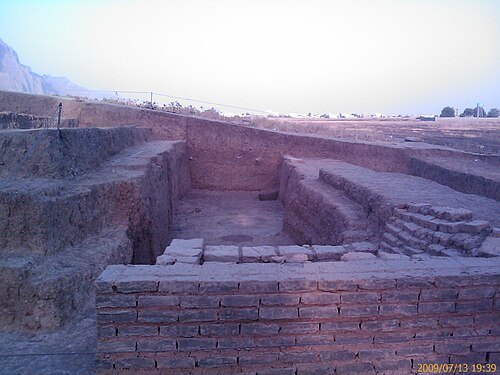
  • archaeological site

    Chogha Gavaneh

    Iranian national heritage site

    Opening hours Not checked

    Admission Not checked

    Getting there Nearest stop or station Se-rah-e Bist-o do-ye Bahman, about 4 min on foot OpenStreetMap
    Map

  • Khosrow Parviz Hunting Ground

    MyName (Coffeetalkh (talk)) / CC BY-SA 3.0

    archaeological site

    Khosrow Parviz Hunting Ground

    hunting ground in Kermanshah, Iranian national heritage site

    Opening hours Not checked

    Admission Not checked

    Getting there Nearest stop or station Karmandad, about 11 min on foot OpenStreetMap
    About 8 km from the city centre

    Map

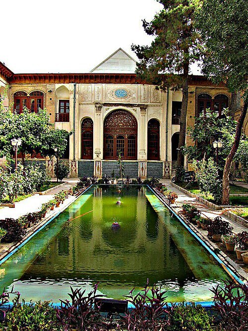
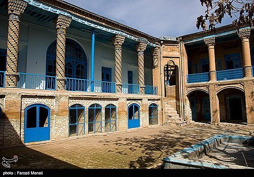
  • Randehkesh House

    Farzad Menati / CC BY 4.0

    mansion

    Randehkesh House

    mansion in Kermanshah, Iranian national heritage site

    Opening hours Not checked

    Admission Not checked

    Getting there Nearest stop or station Bazar, about 6 min on foot OpenStreetMap
    Map

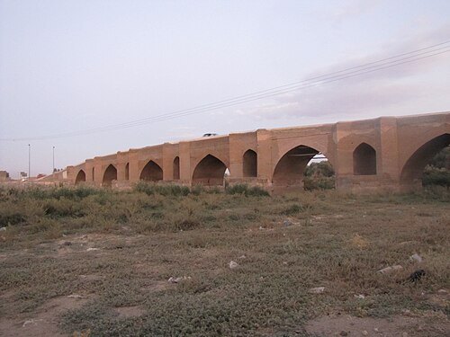
  • Qarasu Old Bridge

    مینا علی پناه / CC BY-SA 4.0

    road bridge

    Qarasu Old Bridge

    bridge in Kermanshah, Iranian national heritage site

    Opening hours Not checked

    Admission Not checked

    Map

  • cultural property

    Malaverd

    Iranian national heritage site

    Opening hours Not checked

    Admission Not checked

    About 10 km from the city centre

    Map

  • archaeological site

    Tappeh Asiab 2

    Iranian national heritage site
    Opening hours Not checked

    Admission Not checked

    Map

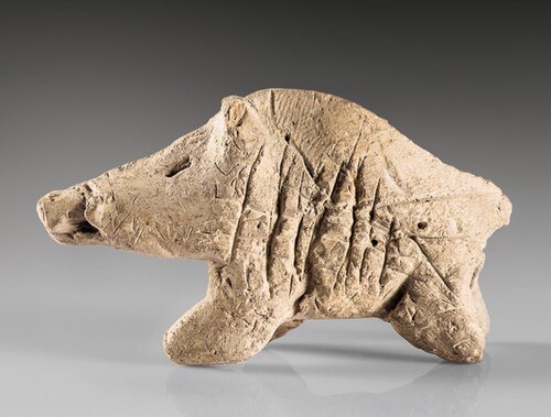
  • Tepe Sarab

    Nationalmuseumofiran / CC BY-SA 4.0

    archaeological site

    Tepe Sarab

    mound in Kermanshah County, Iranian national heritage site

    Opening hours Not checked

    Admission Not checked

    Getting there Nearest stop or station Kermanshah, about 2 min on foot OpenStreetMap
    Map

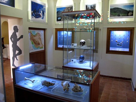
  • Zagros Paleolithic Museum

    User:Biglari / Public domain

    archaeological museum

    Zagros Paleolithic Museum

    museum in Kermanshah, Iran

    Opening hours Not checked

    Admission Not checked

    Getting there Nearest stop or station Bazar, about 3 min on foot OpenStreetMap
    Map

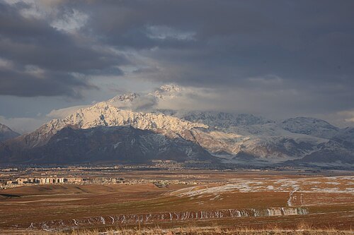
  • Mount Paraw

    Ali Heidari - علی حیدری / CC BY-SA 4.0

    mountain

    Mount Paraw

    mountain in Kermanshah and Harsin County, Iran

    Opening hours Not checked

    Admission Not checked

    About 20 km from the city centre

    Map

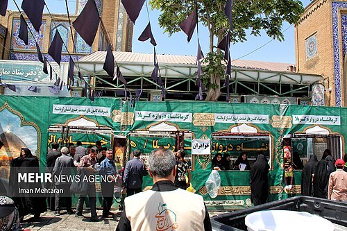
  • Jameh Mosque of Shafei

    Hosseinronaghi / CC BY-SA 4.0

    mosque

    Jameh Mosque of Shafei

    mosque in Kermanshah, Iran

    Opening hours Not checked

    Admission Not checked

    Getting there Nearest stop or station Bazar, about 5 min on foot OpenStreetMap
    Map

  • mountain

    Sefid Kooh

    mountain in Iran

    Opening hours Not checked

    Admission Not checked

    About 15 km from the city centre

    Map

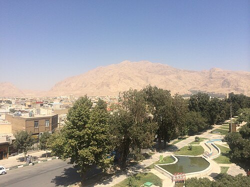
  • Jameh Mosque of Kermanshah

    Iman Mehtaran / CC BY 4.0

    mosque

    Jameh Mosque of Kermanshah

    mosque in Kermanshah, Iran

    Opening hours Not checked

    Admission Not checked

    Getting there Nearest stop or station Bazar, about 2 min on foot OpenStreetMap
    Map

  • archaeological site

    Warwasi

    cave and archaeological site in Iran

    Opening hours Not checked

    Admission Not checked

    About 16 km from the city centre

    Map

  • Mount Farrokhshad

    Hosseiniran / CC BY-SA 4.0

    mountain

    Mount Farrokhshad

    mountain in Kermanshah County, Iran

    Opening hours Not checked

    Admission Not checked

    About 12 km from the city centre

    Map

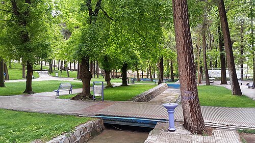
  • Khezr-e Elyas Spring

    Farzad Menati / CC BY 4.0

    spring

    Khezr-e Elyas Spring

    spring in Kermanshah County, Iran
    Opening hours Not checked

    Admission Not checked

    About 19 km from the city centre

    Map

  • Laleh Park

    Ahmad kp73 / CC BY-SA 4.0

    urban park

    Laleh Park

    park in Kermanshah, Iran

    Opening hours Not checked

    Admission Not checked

    Getting there Nearest stop or station Meydan-e Ferdowsi, about 5 min on foot OpenStreetMap

    Map

  • cemetery

    Kermanshah Christian Cemetery

    cemetery in Kermanshah, Iran

    Opening hours Not checked

    Admission Not checked

    Getting there Nearest stop or station Chahar-rah-e Basij, about 2 min on foot OpenStreetMap
    Map

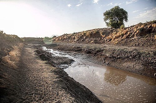
  • Razavar River

    Farzad Menati / CC BY 4.0

    river

    Razavar River

    river in Kermanshah County, Iran

    Opening hours Not checked

    Admission Not checked

    About 13 km from the city centre

    Map

Places to eat

Opening hours and tickets: OpenStreetMap contributors. Each one shows the day a volunteer last wrote it down, so check the official site before you set out.

Nothing picked yet
    Add a place that is not listed here

    One per line. Pasting a list works too.

    Iran