Makassar: what to see and where to eat
Everything below comes from open data and each row says where it came from. We have not been to any of these places and we do not rank them.
Filters
Things to see
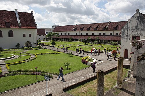 military museum
Fort Rotterdam
Dutch fort built in Makassar on the island of Sulawesi in Indonesia during the 1670s
Getting there Nearest stop or station Dermaga Kayu Bangkoa, about 6 min on foot OpenStreetMap
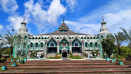
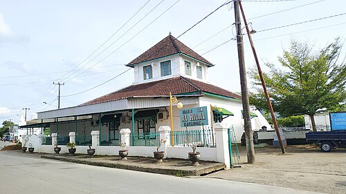 mosque
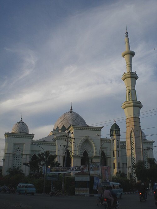
Katangka Mosque
mosque in Indonesia
Getting there Nearest stop or station Bus Terminal Mallengkeri, about 20 min on foot OpenStreetMap
 cathedral
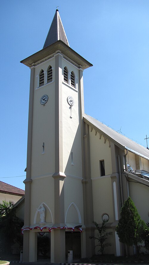
Sacred Heart Cathedral
church in Makassar, Indonesia
Getting there Nearest stop or station Dermaga Kayu Bangkoa, about 10 min on foot OpenStreetMap
- river
Tallo River
river in South Sulawesi, Indonesia
 mosque
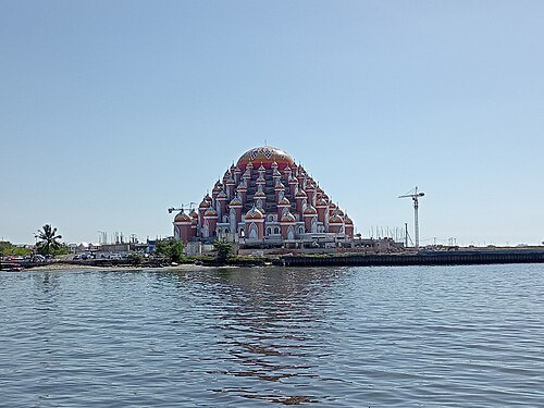
99 Domes Mosque
mosque in Indonesia
Getting there Nearest stop or station Dermaga Kayu Bangkoa, about 11 min on foot OpenStreetMap
- stadium
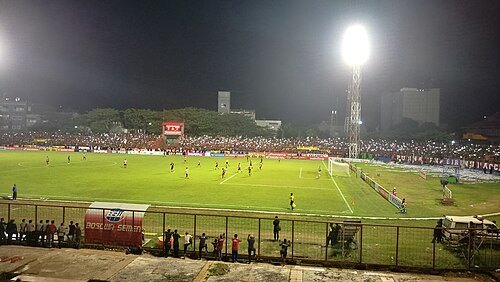
Kalegowa Stadium
sports stadium in Indonesia
Getting there Nearest stop or station Terminal Cappa Bunga, about 12 min on foot OpenStreetMap
- beach
Losari Beach
beach in Makassar, Indonesia
Getting there Nearest stop or station Dermaga Kayu Bangkoa, about 13 min on foot OpenStreetMap
- church building
Makassar Immanuel Church
church in Indonesia
Getting there Nearest stop or station Dermaga Kayu Bangkoa, about 10 min on foot OpenStreetMap
- lake
Danau Mawang
lagoon in Indonesia
- river
Salo Pute
river in South Sulawesi, Indonesia


Places to eat
- cafe
Kedai Kopi Asia by Sija
Food: coffee shop
- restaurant
ayam goreng sulawesi ibu tini
Food: asian
Nothing here matches that. Clear a filter and try again.
Opening hours and tickets: OpenStreetMap contributors. Each one shows the day a volunteer last wrote it down, so check the official site before you set out.