Srinagar: what to see and where to eat
Everything below comes from open data and each row says where it came from. We have not been to any of these places and we do not rank them.
Filters
Things to see
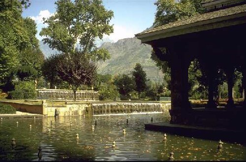
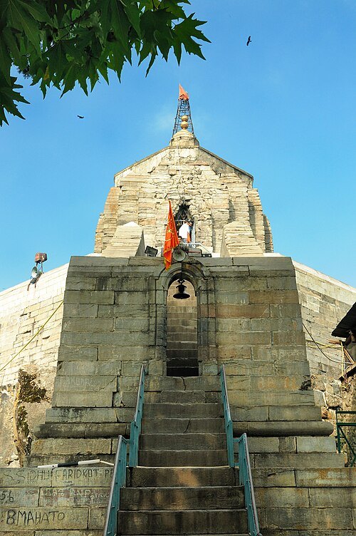 hindu temple
Shankaracharya Temple, Srinagar
7th century hilltop Hindu temple in Jammu and Kashmir
Getting there Nearest stop or station Lhasa Lane Auto Stand, about 14 min on foot OpenStreetMap
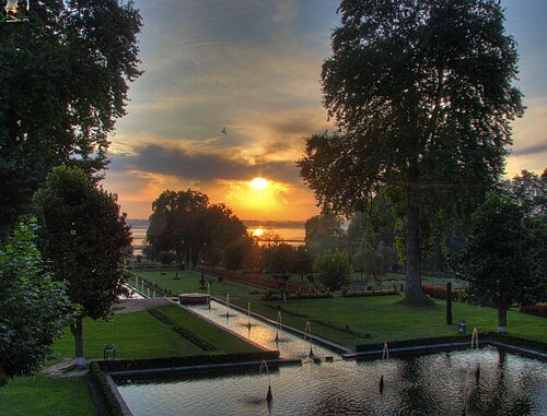
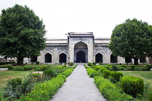
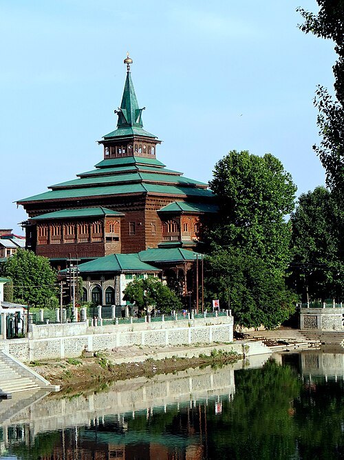
 mosque
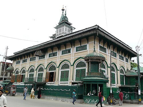
Akhund Mulla Shah's Mosque
Mosque in Kashmir
Getting there Nearest stop or station Cable Car Station, about 2 min on foot OpenStreetMap
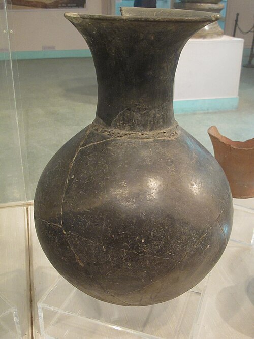
Ismoon (talk) 22:04, 21 February 2012 (UTC) / CC0
archaeological siteBurzahom archaeological site
archaeological site located in the Kashmir Valley of the Indian union territory of Jammu and Kashmir
 tomb
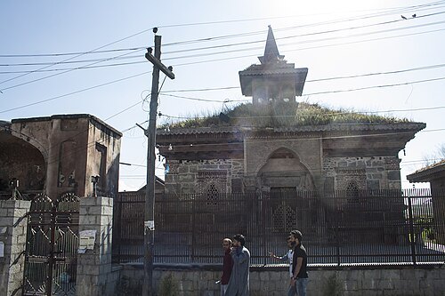
Madin Sahib
15th-century mosque and tomb in Srinagar, Jammu and Kashmir
Getting there Nearest stop or station Welcome Auto Stand, about 14 min on foot OpenStreetMap
 square
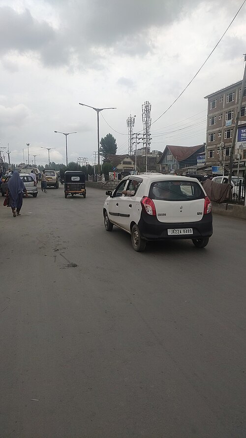
Lal Chowk
place in Jammu and Kashmir, India
Getting there Nearest stop or station Jahangir Chowk Bus Stop, about 9 min on foot OpenStreetMap
 museum
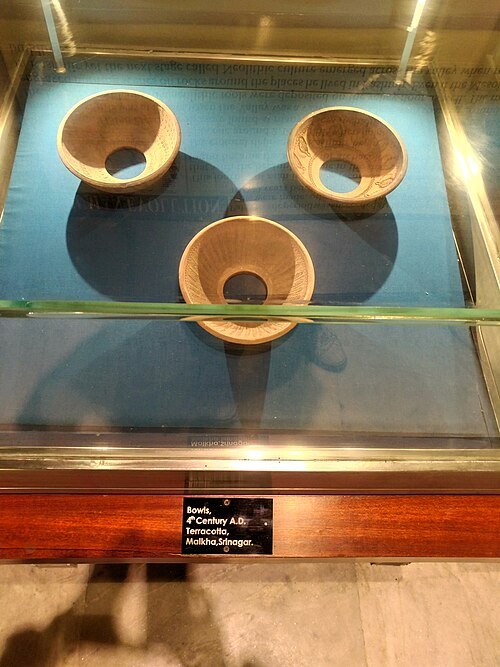
SPS Museum
a museum in Srinagar, Jammu and Kashmir, India
Getting there Nearest stop or station Jahangir Chowk Bus Stop, about 15 min on foot OpenStreetMap
Mohamad Talib Bhat / CC BY-SA 3.0
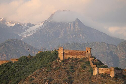
fortHari Parbat Fort
fort on Hari Parbat hill in Srinagar, India
Getting there Nearest stop or station Cable Car Station, about 4 min on foot OpenStreetMap
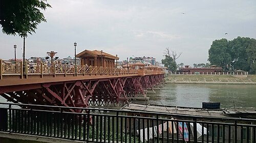 bridge
Zero Bridge
bridge in Srinagar, India
Getting there Nearest stop or station TRC bus stand, about 8 min on foot OpenStreetMap
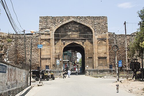 monument
Kathi Darwaza
Historic gateway to citadel on Hari Parbat, Srinagar, built in 16th century
Getting there Nearest stop or station Cable Car Station, about 5 min on foot OpenStreetMap
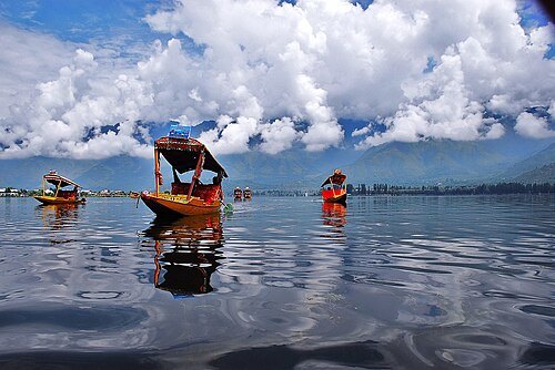 valley
Kashmir Valley
intermontane valley in Jammu and Kashmir, bounded on the southwest by the Pir Panjal Range and on the northeast by the main Himalayas
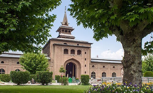
Mike Prince from Bangalore, India / CC BY 2.0
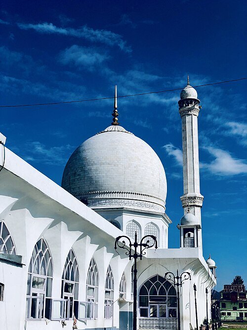
architectural landmarkJamia Masjid
historic mosque in Srinagar, India
Getting there Nearest stop or station Cable Car Station, about 14 min on foot OpenStreetMap
 shrine
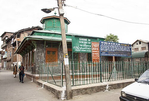
Roza Bal
holy site in Srinagar, India
Getting there Nearest stop or station Auto Stand Rainawari Hospital, about 9 min on foot OpenStreetMap
 national park
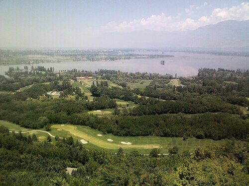
Salim Ali National Park
national park in India
Getting there Nearest stop or station Jahangir Chowk Bus Stop, about 16 min on foot OpenStreetMap
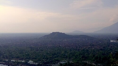 hill
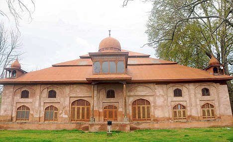
Koh-i-Maran
hill overlooking Srinagar, India
Getting there Nearest stop or station Cable Car Station, about 4 min on foot OpenStreetMap
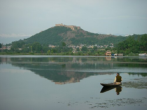
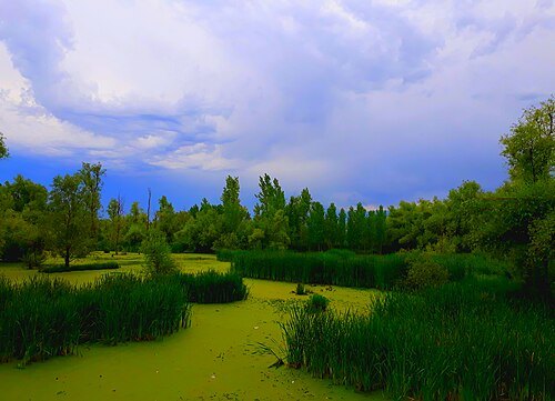
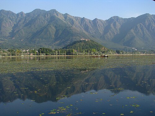
Demonkiller (talk) (Uploads) / CC BY-SA 3.0
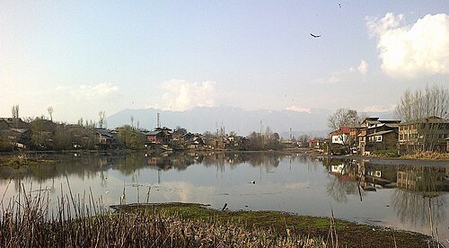
lagoonGil Sar
lake in India
Getting there Nearest stop or station Welcome Auto Stand, about 20 min on foot OpenStreetMap
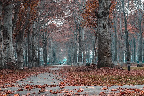
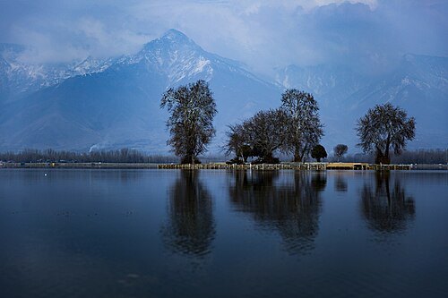
Varun Shiv Kapur from New Delhi, India / CC BY 2.0
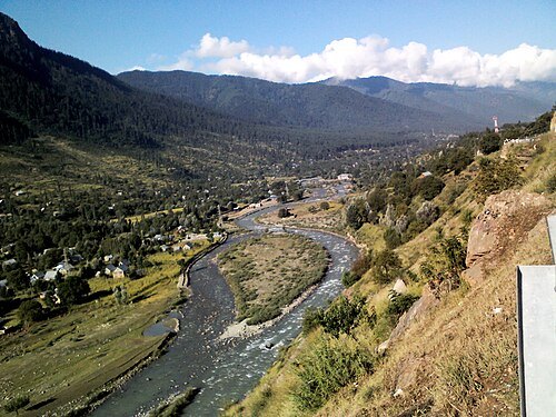
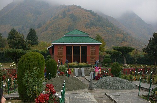
shrineDastgeer Sahib
shrine in Jammu and Kashmir, India
Getting there Nearest stop or station Auto Stand Rainawari Hospital, about 9 min on foot OpenStreetMap
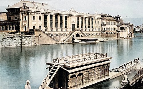
Unknown authorUnknown author / Public domain
ruinsSher Garhi Palace
former palace in Srinagar, India
Getting there Nearest stop or station Jahangir Chowk Bus Stop, about 3 min on foot OpenStreetMap
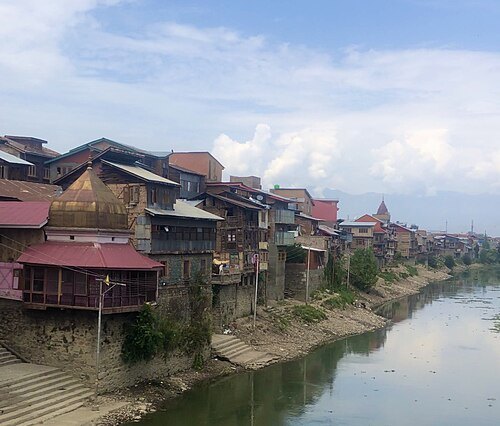 bridge
Habba Kadal
bridge in India
Getting there Nearest stop or station Jahangir Chowk Bus Stop, about 18 min on foot OpenStreetMap
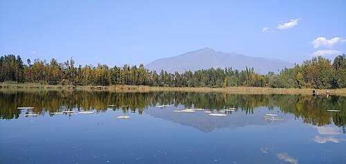
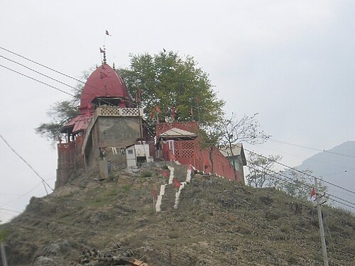
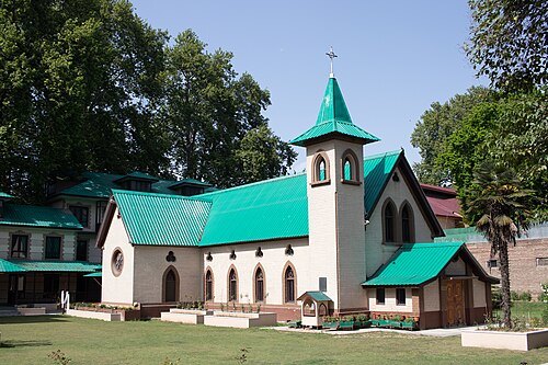 catholic church building
Holy Family Catholic Church
Catholic church in Srinagar, India
Getting there Nearest stop or station TRC bus stand, about 14 min on foot OpenStreetMap
- bridge
Abdullah Bridge
bridge in India
Getting there Nearest stop or station TRC bus stand, about 8 min on foot OpenStreetMap
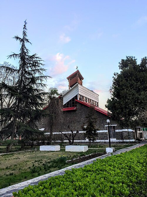 anglican or episcopal cathedral
All Saints Church, Srinagar
building in India
Getting there Nearest stop or station TRC bus stand, about 6 min on foot OpenStreetMap
- church building
St. Luke's Church, Srinagar
church in Jammu and Kashmir, India
Getting there Nearest stop or station TRC bus stand, about 6 min on foot OpenStreetMap
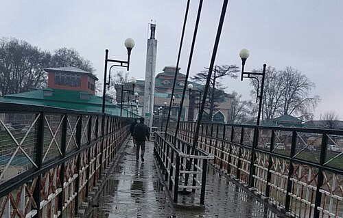 bridge
Lal Mandi Footbridge
bridge in India
Getting there Nearest stop or station Jahangir Chowk Bus Stop, about 13 min on foot OpenStreetMap
- venue
TRC Turf Ground
Football stadium located in Srinagar, Jammu and Kashmir, India
Getting there Nearest stop or station TRC bus stand, about 5 min on foot OpenStreetMap


Places to eat
- restaurant
Rattan's veg & non veg
Food: indian
Nothing here matches that. Clear a filter and try again.
Opening hours and tickets: OpenStreetMap contributors. Each one shows the day a volunteer last wrote it down, so check the official site before you set out.