New Delhi: what to see and where to eat
Everything below comes from open data and each row says where it came from. We have not been to any of these places and we do not rank them.
Filters
Things to see
- fort
Red Fort
historic fortress in Delhi, India
Getting there Nearest stop or station Lal Quila, about 6 min on foot OpenStreetMap
 tomb
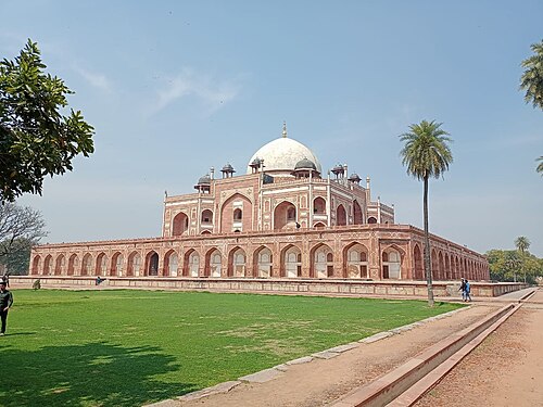
Humayun's Tomb
tomb of the Mughal Emperor Humayun in Delhi, India
Getting there Nearest stop or station Hazrat Nizamuddin Junction, about 9 min on foot OpenStreetMap
- temple
Lotus Temple
Bahá'í House of Worship in Delhi, India
Getting there Nearest stop or station Kalkaji Mandir, about 6 min on foot OpenStreetMap
- triumphal arch
India Gate
Triumphal arch in New Delhi
Getting there Nearest stop or station Bikaner Bus Depot, about 7 min on foot OpenStreetMap
 victory column
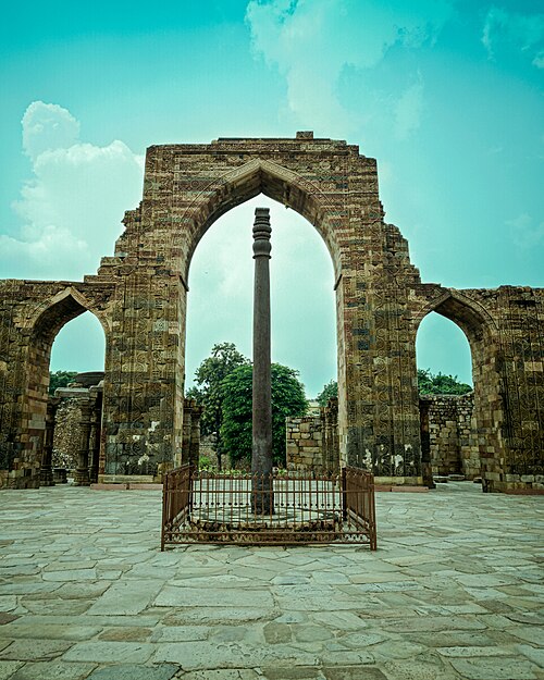
iron pillar of Delhi
7.2 m pillar in the Qutb complex, Mehrauli, Delhi, India, erected in the 5th century CE
Getting there Nearest stop or station Mehrauli Bus Terminal, about 6 min on foot OpenStreetMap
 mausoleum
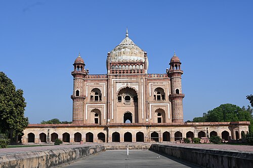
Tomb of Safdar Jang
sandstone and marble mausoleum in Delhi
Getting there Nearest stop or station Jor Bagh, about 6 min on foot OpenStreetMap
 national museum
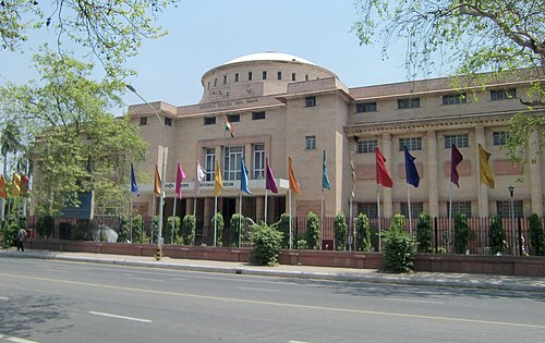
National Museum
National and art museum in New Delhi, India
Getting there Nearest stop or station Seva Teerth, about 12 min on foot OpenStreetMap
Gaurav Vaidya (User:Gaurav) / CC BY 3.0
museumGandhi Smriti
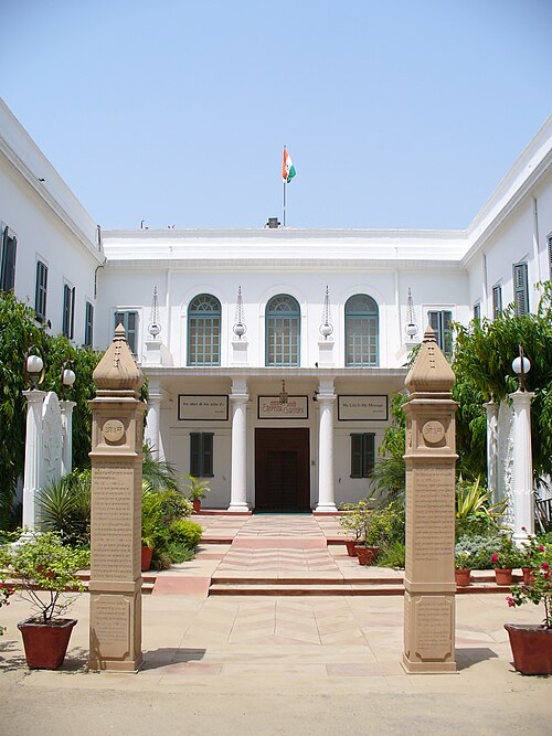
museum and death place of Mahatma Gandhi, in New Delhi, India
Getting there Nearest stop or station Lok Kalyan Marg, about 9 min on foot OpenStreetMap
- parliament building
Old Parliament House
former seat of the Parliament of India
Getting there Nearest stop or station Central Secretariat, about 7 min on foot OpenStreetMap
 fortification
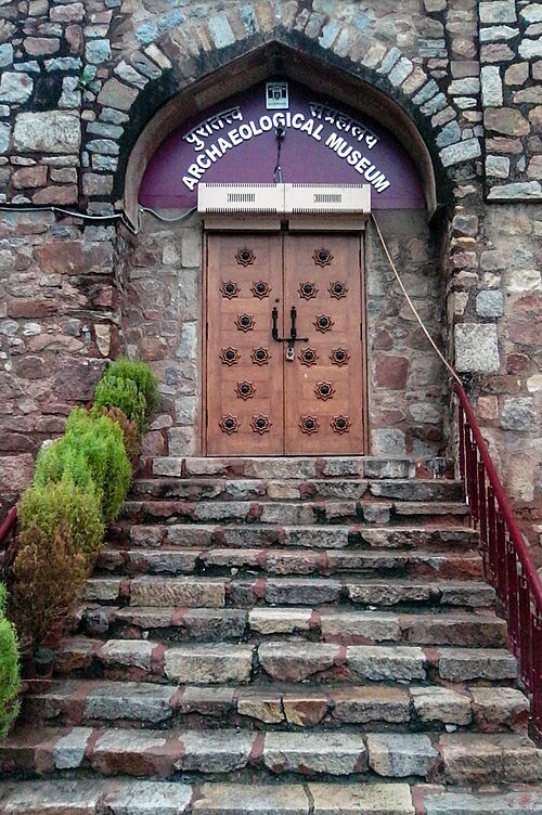
Purana Qila
building in India
Getting there Nearest stop or station Pragati Maidan, about 12 min on foot OpenStreetMap
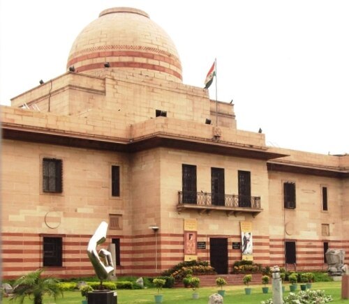 national museum
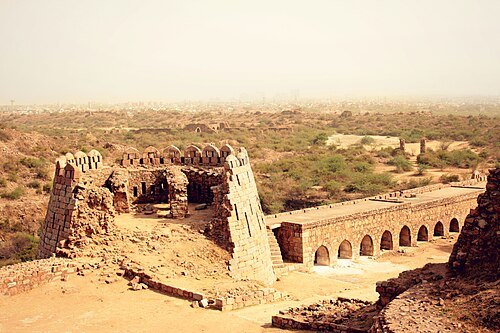
National Gallery of Modern Art
premier art gallery under Ministry of Culture, Government of India
Getting there Nearest stop or station Bikaner Bus Depot, about 7 min on foot OpenStreetMap
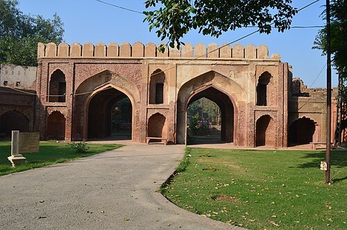 historic site
Kashmiri Gate
historic site
Getting there Nearest stop or station DTC Kashmere Gate Bus Station, about 1 min on foot OpenStreetMap
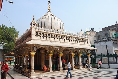
Farzan Kermaninejad (بحث) / Public domain
shrineHazrat Nizamuddin Dargah
Dargah (mausoleum) of the Sufi saint Khwaja Nizamuddin Auliya
Getting there Nearest stop or station Jawaharlal Nehru Stadium, about 13 min on foot OpenStreetMap
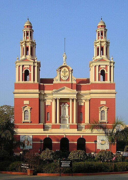 cathedral
Sacred Heart Cathedral, New Delhi
cathedral
Getting there Nearest stop or station Shivaji Stadium, about 7 min on foot OpenStreetMap
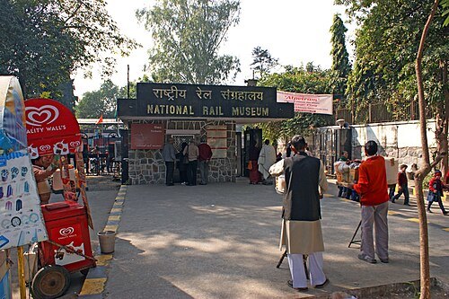
Bruno Corpet (Quoique) / CC BY-SA 3.0
railway museumNational Rail Museum
rail museum in Chanakyapuri, New Delhi
Getting there Nearest stop or station Delhi Safdarjang, about 9 min on foot OpenStreetMap
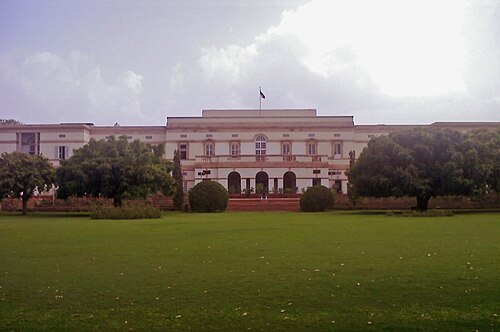
User:आशीष भटनागर / Public domain
museumTeen Murti Bhavan
former residence of the first Prime Minister of India, Jawaharlal Nehru, in New Delhi
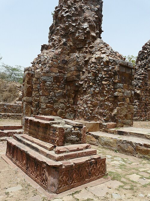 tomb
Tomb of Balban
Mamluk ruler
Getting there Nearest stop or station Lado Sarai Bus Terminal, about 8 min on foot OpenStreetMap
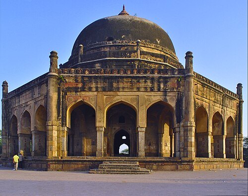 mausoleum
Tomb of Adham Khan
tomb to the north of the Qutub Minar, Mehrauli, Delhi
Getting there Nearest stop or station Mehrauli Bus Terminal, about 1 min on foot OpenStreetMap
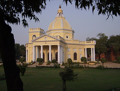 church building
St. James' Church, Delhi
church in Delhi, India
Getting there Nearest stop or station DTC Kashmere Gate Bus Station, about 4 min on foot OpenStreetMap
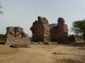 fort
Siri Fort
fort in New Dehli, India
Getting there Nearest stop or station Panchsheel Park, about 18 min on foot OpenStreetMap
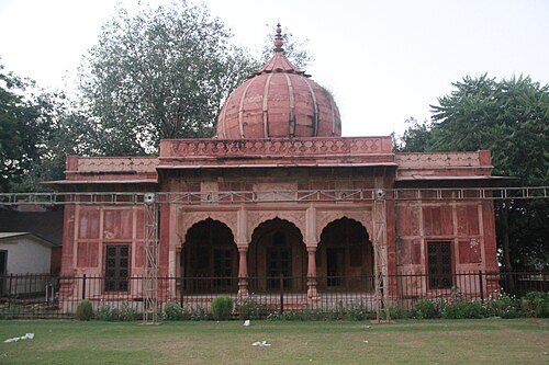 mausoleum
Lal Bangla
building in India
Getting there Nearest stop or station Khan Market, about 14 min on foot OpenStreetMap
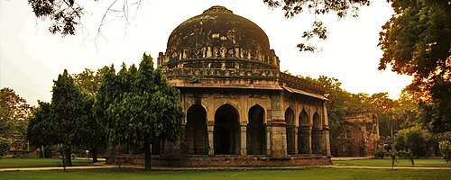 tomb
Tomb of Sikandar Lodi
Tomb
Getting there Nearest stop or station Khan Market, about 16 min on foot OpenStreetMap
 mosque
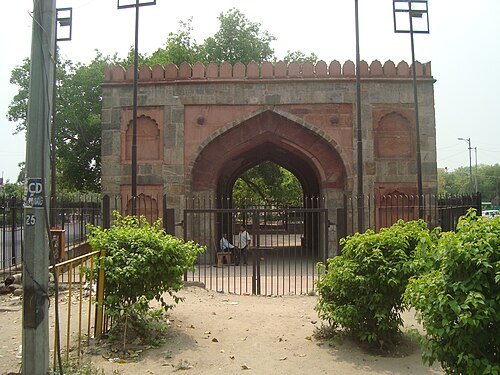
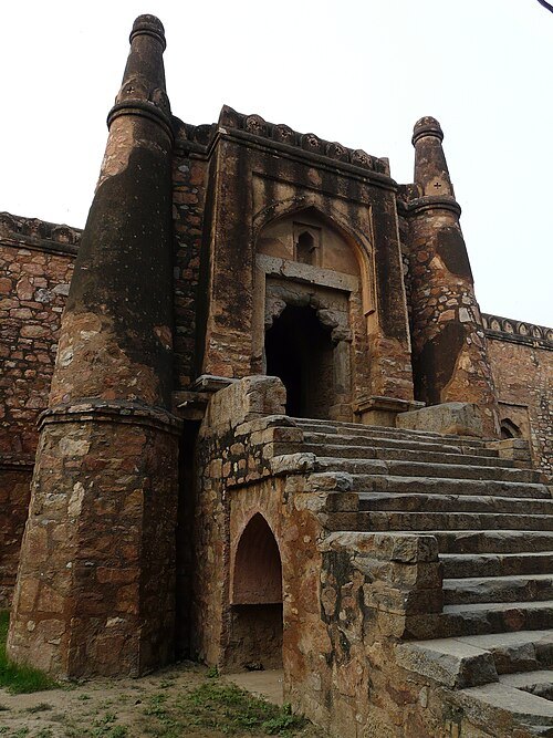
Khirki Masjid
mosque in India
Getting there Nearest stop or station Panchsheel Park, about 19 min on foot OpenStreetMap
 mosque
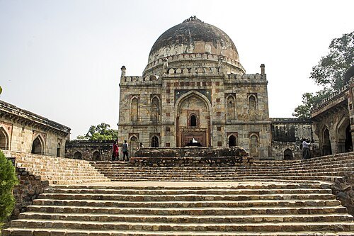
Bara Gumbad
mosque in India
Getting there Nearest stop or station Lok Kalyan Marg, about 16 min on foot OpenStreetMap
 association football venue
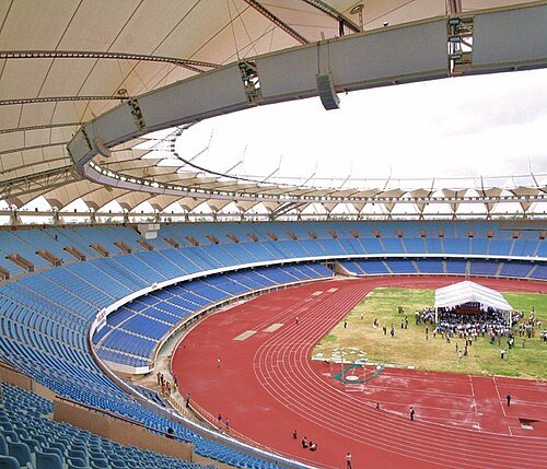
Jawaharlal Nehru Stadium
building in India
Getting there Nearest stop or station Jangpura, about 8 min on foot OpenStreetMap
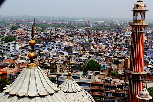 fortified town
Old Delhi
walled city of Delhi, India
Getting there Nearest stop or station Chandni Chowk, about 3 min on foot OpenStreetMap
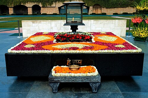
Humayunn Niaz Ahmed Peerzaada from Mumbai, India / CC BY-SA 2.0
memorialRaj Ghat and associated memorials
memorial dedicated to Mahatma Gandhi in Delhi, India
Getting there Nearest stop or station Doctor Ambedkar Terminal (Dilli Gate), about 9 min on foot OpenStreetMap
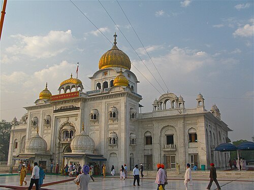
Ken Wieland from Philadelphia, USA / CC BY-SA 2.0
gurdwaraGurudwara Bangla Sahib
gurdwara in Delhi, India
Getting there Nearest stop or station Shivaji Stadium, about 5 min on foot OpenStreetMap
- hindu temple
Laxminarayan Temple
Hindu temple in Delhi
Getting there Nearest stop or station Ramakrishna Ashram Marg, about 19 min on foot OpenStreetMap
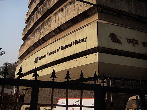 natural history museum
National Museum of Natural History
museum in New Delhi, India
Getting there Nearest stop or station Himachal Pradesh Road Transport Corporation Bus Parking, about 2 min on foot OpenStreetMap
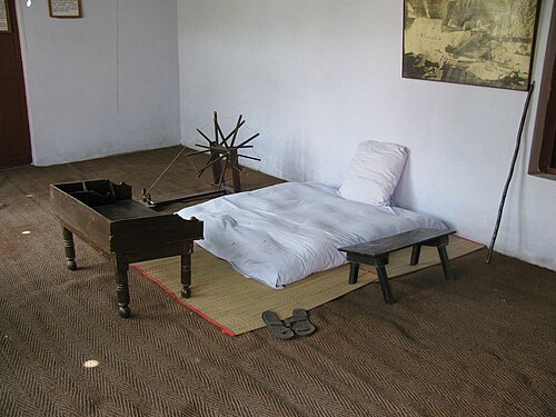 national museum
National Gandhi Museum
museum located in New Delhi, India showcasing the life and principles of Mahatma Gandhi
Getting there Nearest stop or station Doctor Ambedkar Terminal (Dilli Gate), about 3 min on foot OpenStreetMap
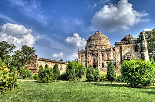 park
Lodi Gardens
city park in India
Getting there Nearest stop or station Lok Kalyan Marg, about 14 min on foot OpenStreetMap
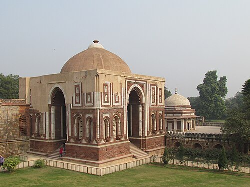 gate
Alai Darwaza
mosque gateway in Delhi, India
Getting there Nearest stop or station Mehrauli Bus Terminal, about 6 min on foot OpenStreetMap
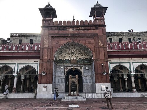 mosque
Fatehpuri Masjid
mosque in India
Getting there Nearest stop or station Sadar Bazar, about 9 min on foot OpenStreetMap
- hill
Raisina Hill
exclusive area of the Indian government in New Delhi
Getting there Nearest stop or station Central Secretariat, about 12 min on foot OpenStreetMap
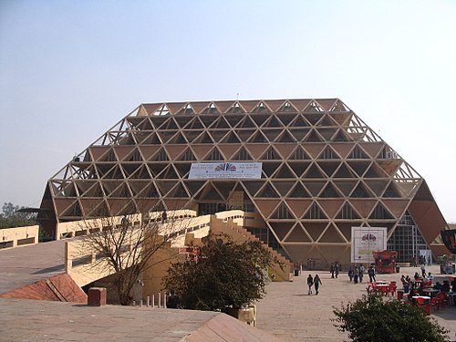 square
Bharat Mandapam
Venue for exhibitions and conventions, located at Delhi, India.
Getting there Nearest stop or station Pragati Maidan, about 6 min on foot OpenStreetMap
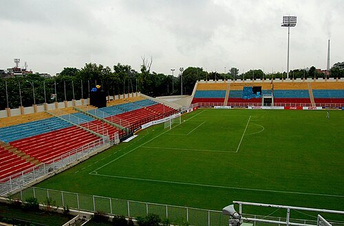
Bill william compton at en.wikipedia / CC BY-SA 3.0
multi-purpose stadiumAmbedkar Stadium
multi-purpose stadium
Getting there Nearest stop or station Doctor Ambedkar Terminal (Dilli Gate), about 2 min on foot OpenStreetMap
- arena
Indira Gandhi Indoor Stadium
indoor arena in India
Getting there Nearest stop or station ITO, about 14 min on foot OpenStreetMap
- mosque
Akbarabadi Mosque
mosque in India
Getting there Nearest stop or station Jama Masjid, about 1 min on foot OpenStreetMap
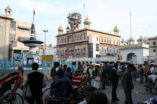
Supreet Sethi http://supreetsethi.net / CC BY-SA 3.0
gurdwaraGurdwara Sis Ganj Sahib
place of martyrdom of 9th Sikh guru, Guru Tek Bahadur, built in 1783
Getting there Nearest stop or station Chandni Chowk, about 6 min on foot OpenStreetMap
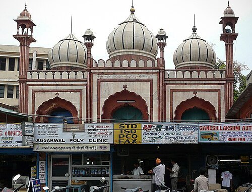
varunshiv (Varun Shiv Kapur) / CC BY 2.0
mosqueLal Masjid, Delhi
mosque in India
Getting there Nearest stop or station DTC Kashmere Gate Bus Station, about 3 min on foot OpenStreetMap
- hindu temple
Kalka Mandir
temple in Delhi, India
Getting there Nearest stop or station Kalkaji Mandir, about 3 min on foot OpenStreetMap
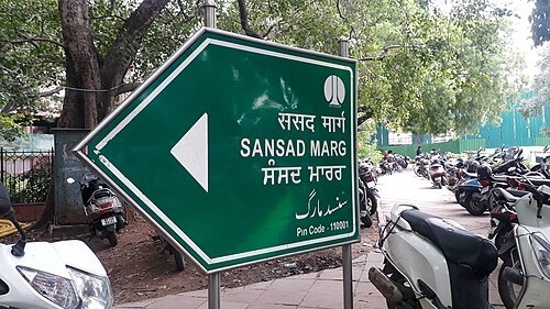 street
Sansad Marg
street in New Delhi, India
Getting there Nearest stop or station Patel Chowk, about 4 min on foot OpenStreetMap
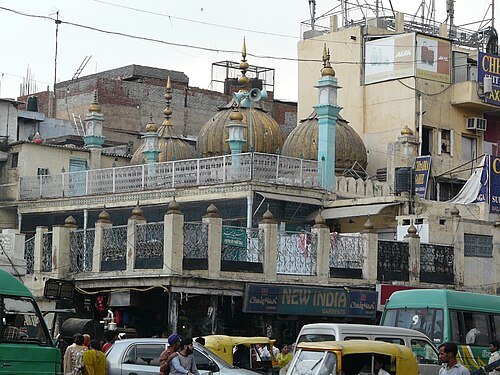
Varun Shiv Kapur from Berkeley, United States / CC BY 2.0
mosqueSunehri Masjid
mosque in India
Getting there Nearest stop or station Chandni Chowk, about 5 min on foot OpenStreetMap
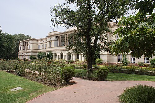
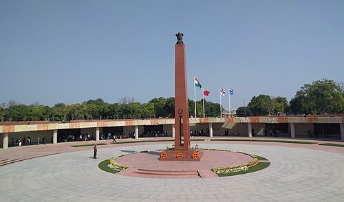
DiplomatTesterMan / CC BY-SA 4.0
national museumNational War Memorial
war memorial in New Delhi, India
Getting there Nearest stop or station Bikaner Bus Depot, about 8 min on foot OpenStreetMap
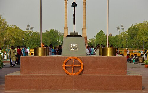 war memorial
Amar Jawan Jyoti
Flame of our Immortal Soldiers
Getting there Nearest stop or station Bikaner Bus Depot, about 7 min on foot OpenStreetMap
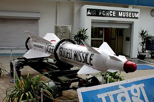 aviation museum
Indian Air Force Museum Palam
aviation museum in Palam, Delhi
Getting there Nearest stop or station Sadar Bazar Cantonment, about 10 min on foot OpenStreetMap
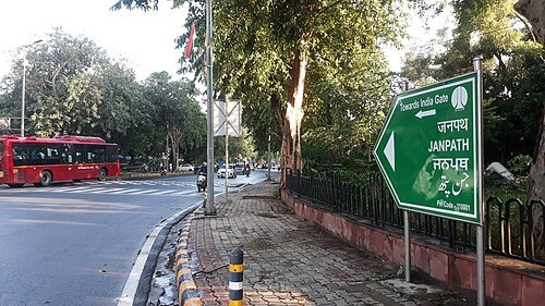
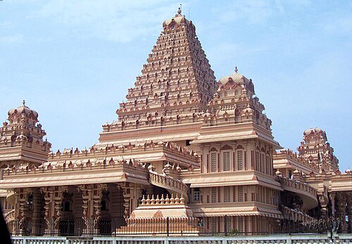


Places to eat
- cafe
Blue Tokai Coffee Roasters
Food: coffee shop
- restaurant
Sorento
Food: italian
- restaurant
Nando's
Food: chicken, portuguese
- cafe
Starbucks
Food: coffee shop
Nothing here matches that. Clear a filter and try again.
Opening hours and tickets: OpenStreetMap contributors. Each one shows the day a volunteer last wrote it down, so check the official site before you set out.