Mumbai: what to see and where to eat

Everything below comes from open data and each row says where it came from. We have not been to any of these places and we do not rank them.

15,414,288 people live here

Nearest airport: Chhatrapati Shivaji Maharaj International Airport (BOM), about 2.21 km from the centre

Distances are straight-line and the walking time is an estimate, not a route.

Filters

Things to see

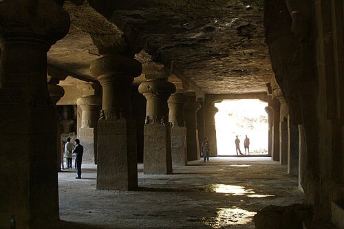
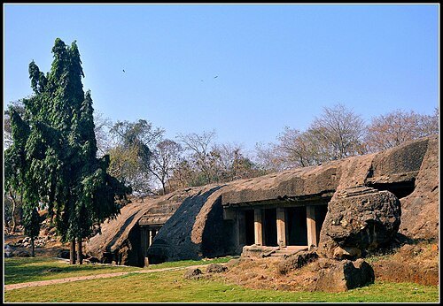
  • Elephanta Caves

    Vyacheslav Argenberg / CC BY 4.0

    cave

    Elephanta Caves

    Shiva cave temples and UNESCO world heritage site on a Mumbai harbor island

    Opening hours Not checked

    Admission Not checked

    About 14 km from the city centre

    Map

  • triumphal arch

    Gateway of India

    monument in Mumbai, India

    Opening hours Not checked

    Admission Not checked

    About 18 km from the city centre

    Map

  • cave

    Kanheri Caves

    ancient caves in Mumbai, India

    Opening hours Not checked

    Ticket needed OpenStreetMap, written 2019-02-20

    About 15 km from the city centre

    Map

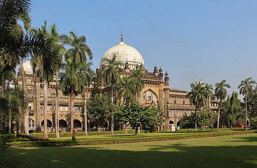
  • Chhatrapati Shivaji Maharaj Vastu Sangrahalaya

    Bernard Gagnon / CC BY-SA 4.0

    museum building

    Chhatrapati Shivaji Maharaj Vastu Sangrahalaya

    museum in Mumbai, India

    Tu-Su 10:15-18:00 OpenStreetMap, written 2026-03-12

    Ticket needed OpenStreetMap, written 2026-03-12

    Getting there Nearest stop or station Gateway of India - Mandwa Rewas Ferry Terminal, about 8 min on foot OpenStreetMap

    About 17 km from the city centre

    Map

  • promenade

    Marine Drive

    scenic road and promenade in Mumbai, India

    Opening hours Not checked

    Admission Not checked

    Getting there Nearest stop or station Marine Lines, about 3 min on foot OpenStreetMap
    About 16 km from the city centre

    Map

  • Mahakali Caves

    Milind13 / CC BY-SA 3.0

    cave

    Mahakali Caves

    Caves in Maharashtra state of India

    Opening hours Not checked

    Admission Not checked

    Getting there Nearest stop or station SEEPZ, about 8 min on foot OpenStreetMap
    Map

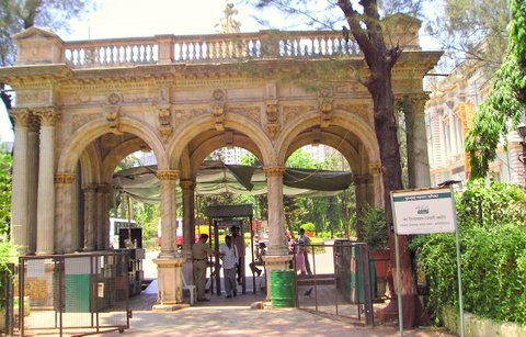
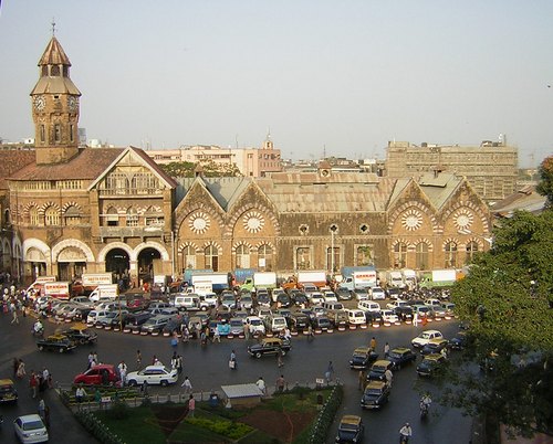
  • Crawford Market

    Unknown / Public domain

    market hall

    Crawford Market

    historic market building in Mumbai, India

    Opening hours Not checked

    Admission Not checked

    Getting there Nearest stop or station Masjid, about 10 min on foot OpenStreetMap
    About 15 km from the city centre

    Map

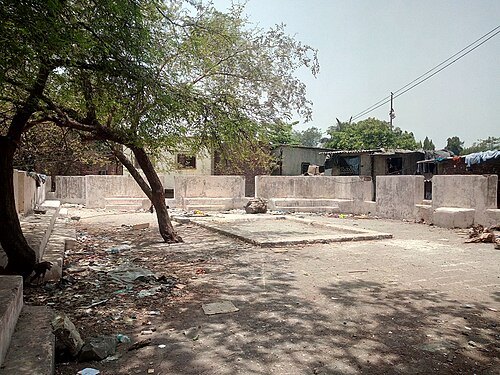
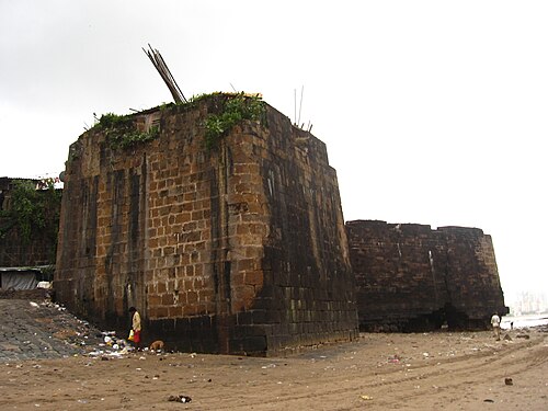
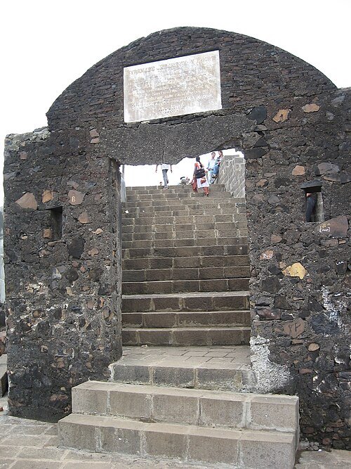
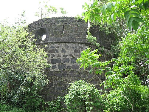
  • Mahim Fort

    Nicholas (Nichalp) / CC BY-SA 3.0

    fortress

    Mahim Fort

    building in India

    Opening hours Not checked

    Admission Not checked

    Getting there Nearest stop or station Mahim Bus Depot, about 7 min on foot OpenStreetMap
    Map

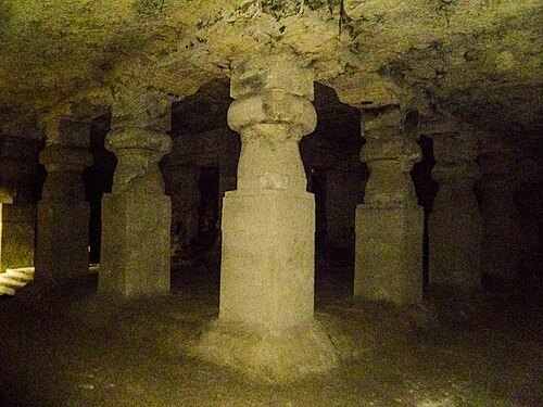
  • Jogeshwari Caves

    Vks0009 / CC BY-SA 3.0

    cave

    Jogeshwari Caves

    Caves in Mumbai, India

    Opening hours Not checked

    Admission Not checked

    Getting there Nearest stop or station Jogeshwari (East), about 8 min on foot OpenStreetMap
    Map

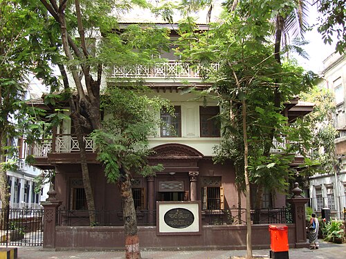
  • Mani Bhavan

    Jorge Láscar / CC BY-SA 2.0

    museum

    Mani Bhavan

    museum in Mumbai, India

    Opening hours Not checked

    Admission Not checked

    Getting there Nearest stop or station Grant Road, about 9 min on foot OpenStreetMap
    About 15 km from the city centre

    Map

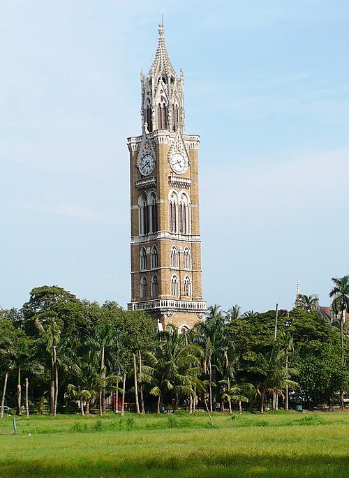
  • Rajabai Clock Tower

    Nikkul (talk) / CC BY-SA 3.0

    clock tower

    Rajabai Clock Tower

    building in Mumbai, India

    Opening hours Not checked

    Admission Not checked

    Getting there Nearest stop or station Churchgate, about 6 min on foot OpenStreetMap
    About 17 km from the city centre

    Map

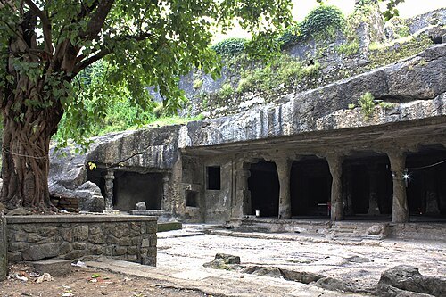
  • Mandapeshwar Caves

    Kartik Chandramouli / CC BY-SA 3.0

    cave

    Mandapeshwar Caves

    cave in Mumbai, India

    Opening hours Not checked

    Admission Not checked

    Getting there Nearest stop or station IC colony, about 10 min on foot OpenStreetMap
    About 19 km from the city centre

    Map

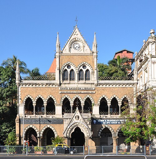
  • David Sassoon Library

    Joe Ravi / CC BY-SA 3.0

    library

    David Sassoon Library

    library in Mumbai, India

    Opening hours Not checked

    Admission Not checked

    Getting there Nearest stop or station Churchgate, about 9 min on foot OpenStreetMap

    About 17 km from the city centre

    Map

  • museum

    Asiatic Society of Mumbai

    town hall in Fort, Mumbai.

    Mo-Fr 08:00-17:00 OpenStreetMap, written 2025-06-24

    Admission Not checked

    Getting there Nearest stop or station Hutatma Chowk/Siddharth College, about 7 min on foot OpenStreetMap
    About 17 km from the city centre

    Map

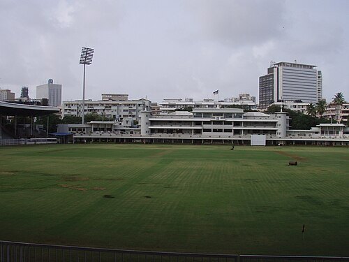
  • Cricket Club of India

    Ajay Goyal / CC BY 2.0

    sports venue

    Cricket Club of India

    sports club and venue in Mumbai, India

    Opening hours Not checked

    Admission Not checked

    Getting there Nearest stop or station Churchgate, about 4 min on foot OpenStreetMap
    About 17 km from the city centre

    Map

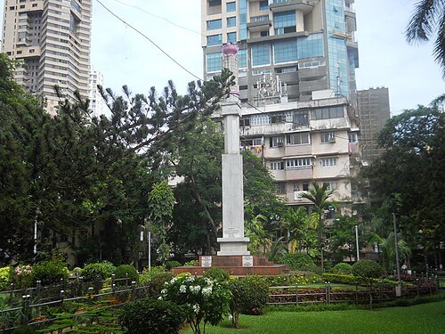
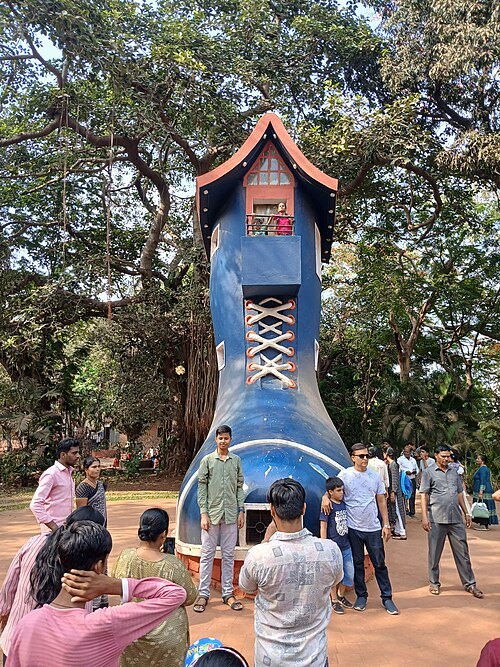
  • Gowalia Tank

    Karthik Nadar / CC BY-SA 3.0

    square

    Gowalia Tank

    park in Mumbai

    Opening hours Not checked

    Admission Not checked

    Getting there Nearest stop or station Grant Road, about 10 min on foot OpenStreetMap
    About 14 km from the city centre

    Map

  • Kamala Nehru Park

    Shishirdasika / CC BY-SA 4.0

    park

    Kamala Nehru Park

    park in Hanging Gardens Complex, Mumbai

    05:00-21:00 OpenStreetMap, written 2022-07-01

    Admission Not checked

    About 15 km from the city centre

    Map

  • Castella de Aguada

    Nicholas (Nichalp) / CC BY-SA 3.0

    fortress

    Castella de Aguada

    building in India

    Opening hours Not checked

    Admission Not checked

    Getting there Nearest stop or station Bandra Reclamation Bus Station, about 17 min on foot OpenStreetMap

    Map

  • Riwa Fort

    सावंत योगेश ९७ / CC BY-SA 4.0

    fort

    Riwa Fort

    fort in Mumbai, India

    Opening hours Not checked

    Admission Not checked

    Getting there Nearest stop or station Sion, about 10 min on foot OpenStreetMap

    Map

  • Jijamata Udyaan

    Rangakuvara / CC BY-SA 3.0

    zoo

    Jijamata Udyaan

    zoo in Mumbai, India

    Th-Tu 09:30-18:00 OpenStreetMap, written 2025-03-16

    Ticket needed OpenStreetMap, written 2025-03-16

    Getting there Nearest stop or station Byculla, about 7 min on foot OpenStreetMap

    About 12 km from the city centre

    Map

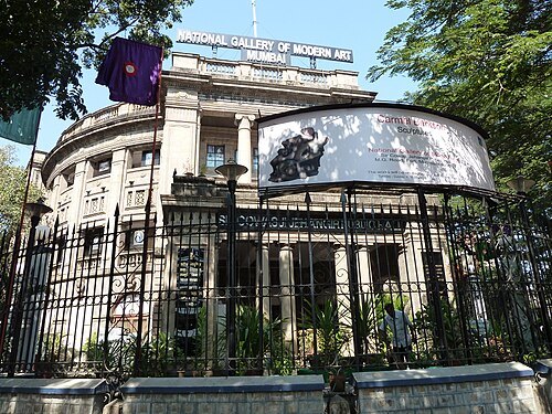
  • National Gallery of Modern Art, Mumbai

    Balajijagadesh / CC BY-SA 3.0

    national museum

    National Gallery of Modern Art, Mumbai

    museum in Mumbai, India

    Opening hours Not checked

    Admission Not checked

    Getting there Nearest stop or station Gateway of India - Mandwa Rewas Ferry Terminal, about 7 min on foot OpenStreetMap

    About 17 km from the city centre

    Map

  • temple tank

    Banganga Tank

    ancient water tank in Mumbai

    Opening hours Not checked

    Admission Not checked

    About 17 km from the city centre

    Map

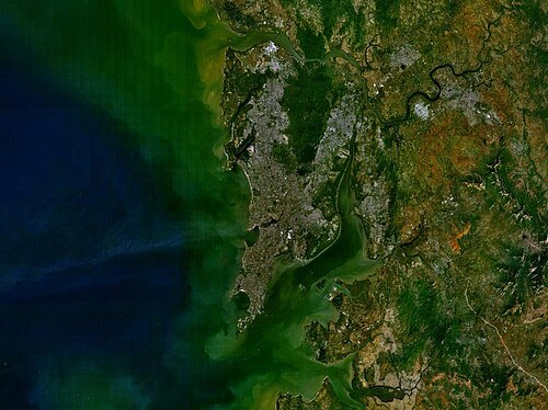
  • Salsette

    NASA / Public domain

    island

    Salsette

    island in India; home to Mumbai

    Opening hours Not checked

    Admission Not checked

    About 14 km from the city centre

    Map

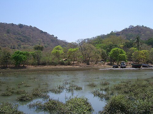
  • Elephanta Island

    Unknown / Public domain

    island

    Elephanta Island

    island of the Mumbai Harbour, India, containing historic caves

    Opening hours Not checked

    Admission Not checked

    Getting there Nearest stop or station Elephanta Caves Jetty, about 18 min on foot OpenStreetMap

    About 14 km from the city centre

    Map

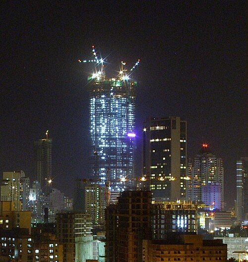
  • Lodha World One

    Jackedi07 / CC0

    skyscraper

    Lodha World One

    skyscraper in Mumbai, India

    Opening hours Not checked

    Admission Not checked

    Getting there Nearest stop or station Lower Parel, about 13 min on foot OpenStreetMap

    About 10 km from the city centre

    Map

  • island group

    Seven Islands of Bombay

    island group in India

    Opening hours Not checked

    Admission Not checked

    Map

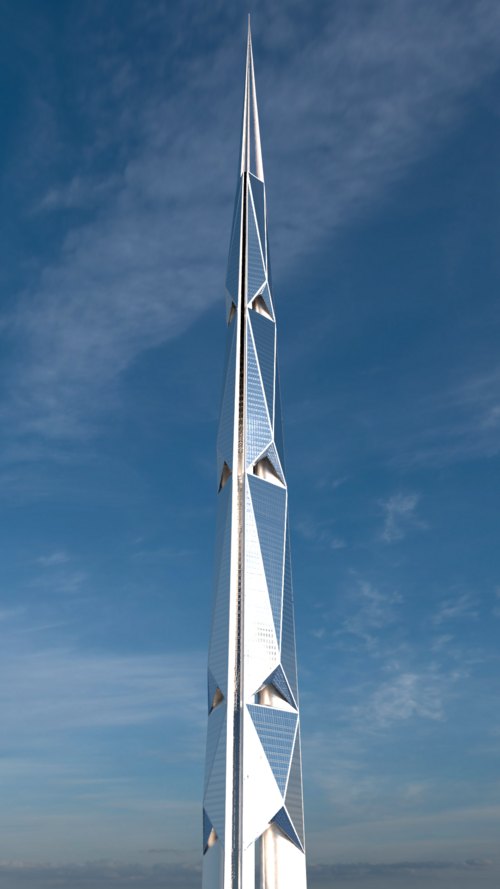
  • India Tower

    Milkomède / CC BY-SA 4.0

    skyscraper

    India Tower

    skyscraper in Mumbai, India

    Opening hours Not checked

    Admission Not checked

    Getting there Nearest stop or station Girgaon, about 4 min on foot OpenStreetMap

    About 15 km from the city centre

    Map

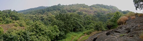
  • Sanjay Gandhi National Park

    Patrice78500 / CC BY-SA 3.0

    national park

    Sanjay Gandhi National Park

    national park in Mumbai, India

    Opening hours Not checked

    Admission Not checked

    About 20 km from the city centre

    Map

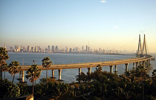
  • Bandra–Worli Sea Link

    Woodysworldtv / CC BY 2.0

    road bridge

    Bandra–Worli Sea Link

    bridge connecting Bandra and Worli, Mumbai, India

    Opening hours Not checked

    Admission Not checked

    Map

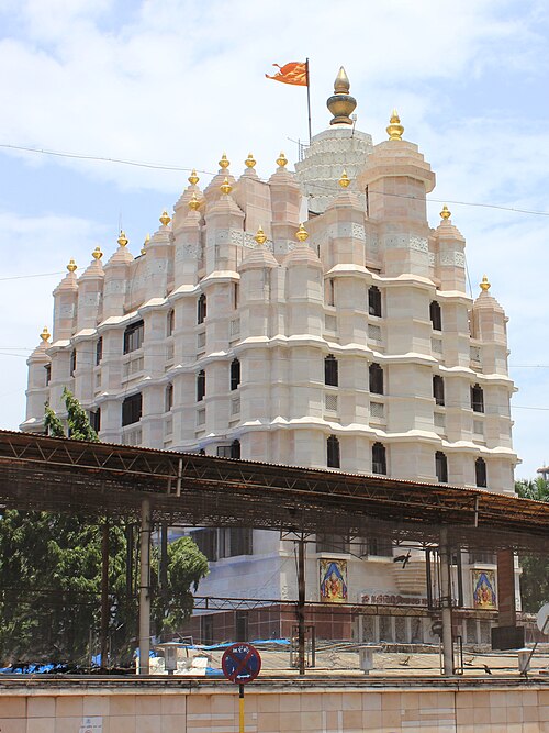
  • Siddhivinayak Temple, Mumbai

    Darwininan / CC BY-SA 3.0

    hindu temple

    Siddhivinayak Temple, Mumbai

    Hindu temple in Prabhadevi, Mumbai, Maharashtra, India

    Opening hours Not checked

    Admission Not checked

    About 8 km from the city centre

    Map

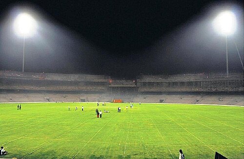
  • DY Patil Stadium

    Metasur at English Wikipedia / Public domain

    association football venue

    DY Patil Stadium

    cricket and football stadium

    Opening hours Not checked

    Admission Not checked

    Getting there Nearest stop or station Nerul L.P, about 8 min on foot OpenStreetMap

    About 16 km from the city centre

    Map

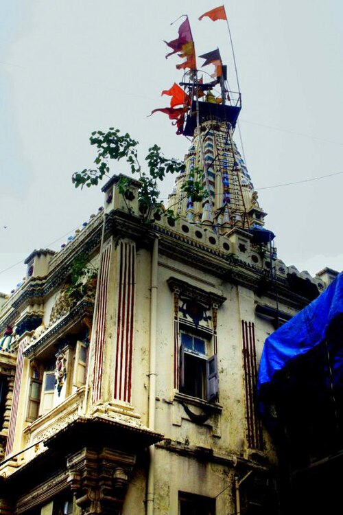
  • Mumba Devi Temple

    Magiceye / CC BY-SA 2.0

    hindu temple

    Mumba Devi Temple

    temple in India

    Opening hours Not checked

    Admission Not checked

    Getting there Nearest stop or station Kalbadevi, about 8 min on foot OpenStreetMap

    About 15 km from the city centre

    Map

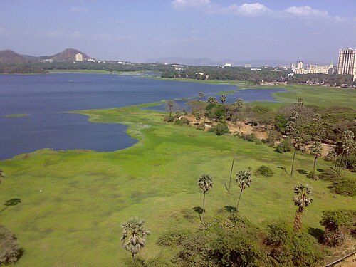
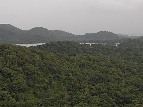
  • Powai Lake

    Packerworld at English Wikipedia / CC BY-SA 3.0

    lake

    Powai Lake

    lake in Mumbai

    Opening hours Not checked

    Admission Not checked

    Map

  • Palais Royale

    Tejas Itraj / CC BY-SA 3.0

    skyscraper

    Palais Royale

    Supertall skyscraper in Mumbai, India

    Opening hours Not checked

    Admission Not checked

    Getting there Nearest stop or station Acharya Atre Chowk, about 5 min on foot OpenStreetMap

    About 10 km from the city centre

    Map

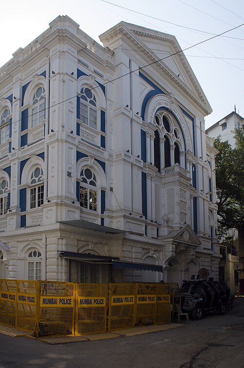
  • Knesset Eliyahoo

    Rangan Datta Wiki / CC BY-SA 4.0

    synagogue

    Knesset Eliyahoo

    Sephardic synagogue in Mumbai

    Opening hours Not checked

    Admission Not checked

    Getting there Nearest stop or station Gateway of India - Mandwa Rewas Ferry Terminal, about 10 min on foot OpenStreetMap

    About 17 km from the city centre

    Map

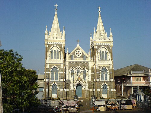
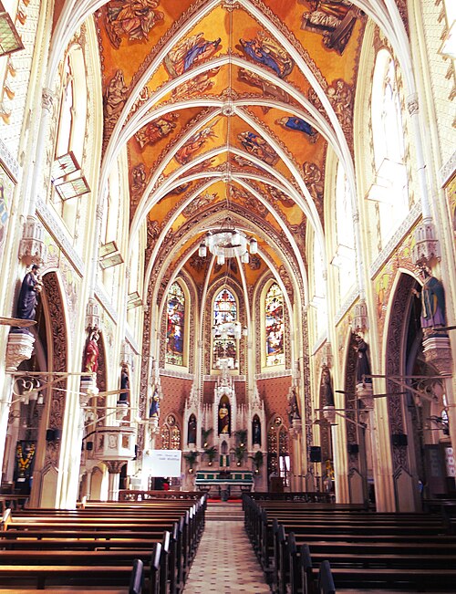
  • Mount Mary Church

    Rakesh Krishna Kumar / CC BY-SA 2.0

    minor basilica

    Mount Mary Church

    Roman Catholic basilica in Bandra, Mumbai, India

    Opening hours Not checked

    Admission Not checked

    Getting there Nearest stop or station Bandra Reclamation Bus Station, about 7 min on foot OpenStreetMap

    Map

  • amusement park

    EsselWorld

    Amusement park in Mumbai

    Opening hours Not checked

    Admission Not checked

    About 19 km from the city centre

    Map

  • Tulsi Lake

    Nicholas (Nichalp) / CC BY-SA 2.5

    lake

    Tulsi Lake

    lake in India

    Opening hours Not checked

    Admission Not checked

    About 13 km from the city centre

    Map

  • proposed tower

    Namaste Tower

    skyscraper

    Opening hours Not checked

    Admission Not checked

    Getting there Nearest stop or station Science Centre, about 3 min on foot OpenStreetMap

    About 11 km from the city centre

    Map

  • island

    Mazagaon

    locality in Mumbai

    Opening hours Not checked

    Admission Not checked

    Getting there Nearest stop or station Dockyard Road, about 10 min on foot OpenStreetMap
    About 12 km from the city centre

    Map

  • Cathedral of the Holy Name

    Ronakshah1990 / CC BY-SA 4.0

    church building

    Cathedral of the Holy Name

    Catholic cathedral in Mumbai, India

    Opening hours Not checked

    Admission Not checked

    Getting there Nearest stop or station Colaba Bus Depot, about 3 min on foot OpenStreetMap
    About 18 km from the city centre

    Map

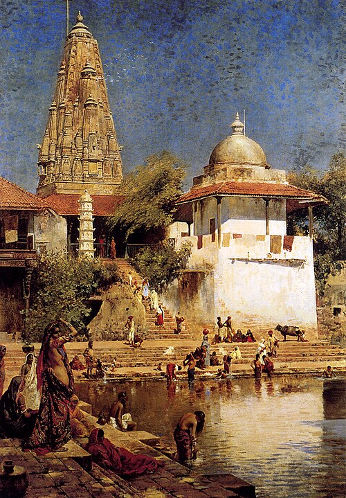
  • Walkeshwar Temple

    Edwin Lord Weeks / Public domain

    hindu temple

    Walkeshwar Temple

    building in India

    Opening hours Not checked

    Admission Not checked

    About 17 km from the city centre

    Map

  • bridge

    Mumbai Trans Harbour Link

    bridge in India

    Opening hours Not checked

    Admission Not checked

    About 13 km from the city centre

    Map

  • Aksa Beach

    Sobarwiki / Public domain

    beach

    Aksa Beach

    beach in Mumbai

    Opening hours Not checked

    Admission Not checked

    About 14 km from the city centre

    Map

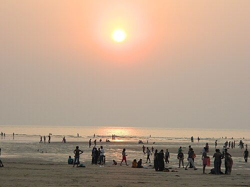
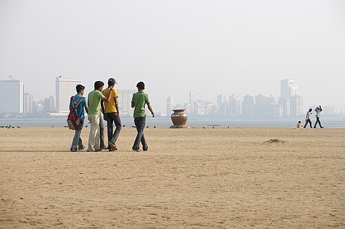
  • Girgaum Chowpatty

    Vyacheslav Argenberg / CC BY 4.0

    beach

    Girgaum Chowpatty

    beach in Girgaum, Mumbai, Maharashtra, India

    Opening hours Not checked

    Admission Not checked

    Getting there Nearest stop or station Charni Road, about 12 min on foot OpenStreetMap
    About 16 km from the city centre

    Map

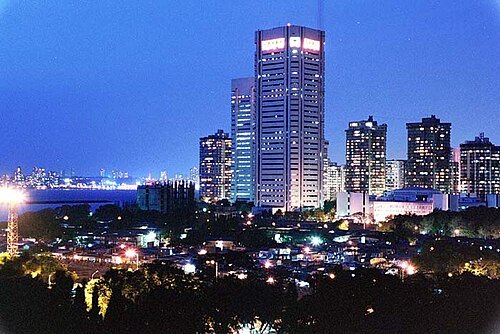
  • World Trade Centre

    Mark0687 at en.wikipedia / Public domain

    skyscraper

    World Trade Centre

    building in India

    Opening hours Not checked

    Admission Not checked

    Getting there Nearest stop or station Cuffe Parade, about 5 min on foot OpenStreetMap

    About 19 km from the city centre

    Map

  • opera house

    Royal Opera House

    opera house and former cinema in Mumbai, India

    Opening hours Not checked

    Admission Not checked

    Getting there Nearest stop or station Charni Road, about 9 min on foot OpenStreetMap

    About 15 km from the city centre

    Map

  • mosque

    Jama Masjid, Mumbai

    mosque in India

    Opening hours Not checked

    Admission Not checked

    Getting there Nearest stop or station Kalbadevi, about 10 min on foot OpenStreetMap

    About 15 km from the city centre

    Map

  • fort

    Worli Fort

    fort in Mumbai

    Opening hours Not checked

    Admission Not checked

    Getting there Nearest stop or station Worli Village, about 13 min on foot OpenStreetMap
    About 9 km from the city centre

    Map

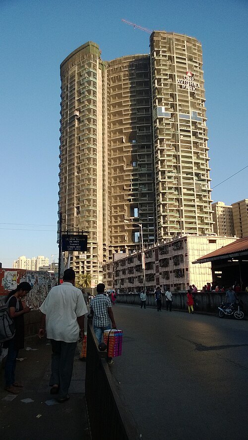
  • One Avighna Park

    Smokingsingh / CC BY-SA 3.0

    skyscraper

    One Avighna Park

    building in India

    Opening hours Not checked

    Admission Not checked

    Getting there Nearest stop or station Currey Road, about 4 min on foot OpenStreetMap
    About 10 km from the city centre

    Map

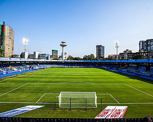
  • Mumbai Football Arena

    Varunkhanna245 / CC BY-SA 4.0

    venue

    Mumbai Football Arena

    multipurpose stadium located in Mumbai, India

    Opening hours Not checked

    Admission Not checked

    Getting there Nearest stop or station Azad Nagar, about 5 min on foot OpenStreetMap
    Map

  • Belapur Fort

    Nicholas (Nichalp) / CC BY-SA 3.0

    fort

    Belapur Fort

    medieval coastal fort near Mumbai

    Opening hours Not checked

    Admission Not checked

    Getting there Nearest stop or station Belapur Jetty, about 9 min on foot OpenStreetMap
    About 18 km from the city centre

    Map

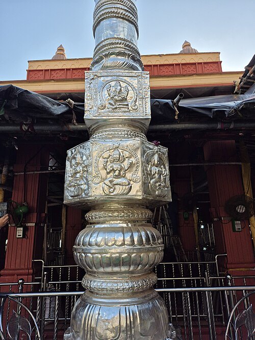
  • Mahalakshmi Temple, Mumbai

    Suraj Digrase / CC0

    hindu temple

    Mahalakshmi Temple, Mumbai

    temple in India

    Opening hours Not checked

    Admission Not checked

    Getting there Nearest stop or station Vasantrao Naik Chowk Tardeo Bus Station, about 20 min on foot OpenStreetMap

    About 13 km from the city centre

    Map

  • fort

    Bombay Castle

    fort in Bombay

    Opening hours Not checked

    Admission Not checked

    Getting there Nearest stop or station Hutatma Chowk/Siddharth College, about 9 min on foot OpenStreetMap
    About 17 km from the city centre

    Map

  • bay

    Mahim Bay

    bay in Mumbai, India

    Opening hours Not checked

    Admission Not checked

    Map

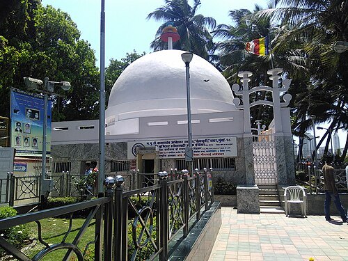
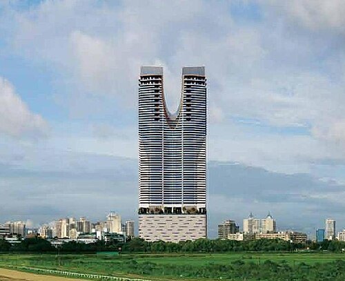
  • Chaitya Bhoomi

    संदेश हिवाळे / CC BY-SA 4.0

    memorial

    Chaitya Bhoomi

    Buddhist shrine and resting place of Babasaheb Ambedkar

    Opening hours Not checked

    Admission Not checked

    Getting there Nearest stop or station Dadar, about 9 min on foot OpenStreetMap
    Map

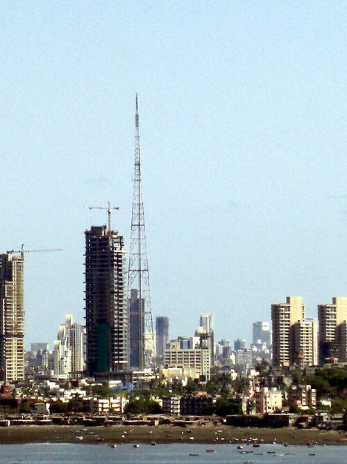
  • Lokhandwala Minerva

    Sania Lokhandwala / CC BY-SA 4.0

    skyscraper

    Lokhandwala Minerva

    building in India

    Opening hours Not checked

    Admission Not checked

    Getting there Nearest stop or station Sant Gadge Maharaj Chowk, about 7 min on foot OpenStreetMap
    About 11 km from the city centre

    Map

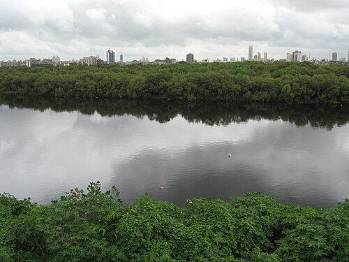
  • Mumbai Television Tower

    Swaminathan from Gurgaon, India / CC BY 2.0

    television tower

    Mumbai Television Tower

    steel lattice television tower in Mumbai

    Opening hours Not checked

    Admission Not checked

    Getting there Nearest stop or station Acharya Atre Chowk, about 4 min on foot OpenStreetMap
    About 11 km from the city centre

    Map

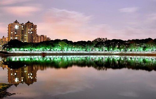
  • Mithi River

    Nicholas (Nichalp) / CC BY-SA 3.0

    river

    Mithi River

    river in India

    Opening hours Not checked

    Admission Not checked

    Getting there Nearest stop or station CSMI Airport International T2, about 15 min on foot OpenStreetMap
    Map

  • Upvan Lake

    Mandar Dewalkar / CC BY 3.0

    lake

    Upvan Lake

    lake in India

    Opening hours Not checked

    Admission Not checked

    Getting there Nearest stop or station Neelkanth Terminal, about 6 min on foot OpenStreetMap

    About 18 km from the city centre

    Map

Places to eat

  • restaurant

    Bharat Cafe

    Food: coffee shop, pizza, sandwich, western

    Mo-Su 10:00-22:00

    Mumbai

    Map

  • restaurant

    Triospice Restaurant (Roof Top)

    Food: indian, mexican, italian, jain

    Mo-Su 12:00-02:00

    Mumbai

    Map

  • restaurant

    Burn Bar and Kitchen

    Food: mexican, italian, chinese, indian

    Mo-Su 11:30-02:30

    Mumabi

    Map

  • restaurant

    Chembur Adda

    Food: chicken, american, chinese, seafood, indian

    Mo-Su 08:00-22:00

    Mumbai

    Map

  • restaurant

    Gracias Granny

    Food: mexican

    10:00-23:00

    Map

  • restaurant

    Mani's

    Food: south indian

    Tu-Su 07:30-22:00

    Chembur East

    Map

  • restaurant

    Amar Fast Food And Juice Center

    Food: pizza, burger, sandwich, chicken, kebab

    Mo-Su 10:00-24:00

    Mumbai

    Map

  • cafe

    Cafe Coffee Day

    Food: coffee shop

    Mo-Su 10:00-23:00

    Mumbai

    Map

  • cafe

    Cafe Coffee Day

    Food: coffee shop

    Mo-Su 09:00-21:00

    mumbai

    Map

  • cafe

    Cafe Gulshan

    Food: coffee shop, irani

    Mo-Su 09:00-20:00

    Mumbai

    Map

  • cafe

    Cafe Montana

    Food: coffee shop, burger, pizza, sandwich, mexican, italian, indian, breakfast

    Mo-Su 09:00-22:00

    Mumbai

    Map

  • restaurant

    Deep Punjab Dhaba

    Food: chicken, kebab, indian

    Mo-Su 10:00-21:00

    Mumbai

    Map

  • restaurant

    Domino's

    Food: pizza

    Mo-Su 09:00-21:00

    mumbai

    Map

  • cafe

    Fries.com

    Food: burger, american

    Mo-Su 09:00-21:00

    Mumbai

    Map

  • restaurant

    Hotel Radhakrishna

    Food: regional, soup, western

    Mo-Su 10:00-22:00

    Mumbai

    Map

  • cafe

    POPULAR CAFE

    Food: indian

    Tu-Sa 10:00-19:00

    Mumbai

    Map

  • restaurant

    Saheel Restaurant

    Food: chinese, moghlai

    Mo 07:00 - 00:30 Tu - Su 07:30 - 00:30

    Dharavi

    Map

  • restaurant

    Saroj

    Food: indian

    Mo-Su 10:00-22:00

    Mumbai

    Map

  • cafe

    barista

    Food: coffee shop, pizza

    Mo-Su 09:00-21:00

    mumbai

    Map

  • restaurant

    bhagat tarachand

    Food: indian

    Mo-Su 09:00-21:00

    Mumbai

    Map

  • restaurant

    blossom

    Food: indian, western

    Mo-Su 10:00-22:00

    mumbai suburban

    Map

  • restaurant

    gupta sandwich

    Food: pizza, sandwich

    Mo-Su 09:00-21:00

    mumbai

    Map

  • cafe

    radha krushma

    Food: coffee shop, indian

    Mo-Su 08:00-21:00

    Mumbai

    Map

  • cafe

    silverbeach

    Food: german

    24/7

    Mumbai

    Map

  • cafe

    starbucks

    Food: coffee shop

    Mo-Su 07:00-22:00

    mumbai

    Map

  • cafe

    the belgian waffle

    Food: waffle

    Mo-Su 09:00-21:00

    Mumbai

    Map

Opening hours and tickets: OpenStreetMap contributors. Each one shows the day a volunteer last wrote it down, so check the official site before you set out.

Nothing picked yet
    Add a place that is not listed here

    One per line. Pasting a list works too.

    India