Kolkata: what to see and where to eat
Everything below comes from open data and each row says where it came from. We have not been to any of these places and we do not rank them.
Filters
Things to see
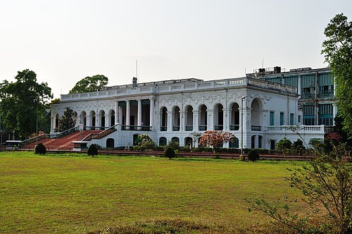 national library
National Library of India
national library located in Kolkata
Getting there Nearest stop or station Netaji Bhavan, about 20 min on foot OpenStreetMap
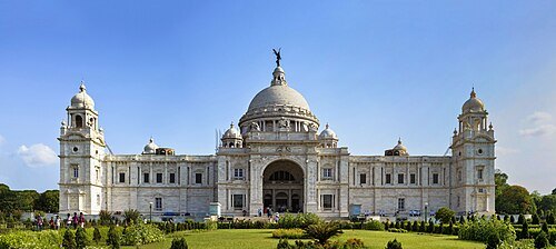 memorial
Victoria Memorial
memorial dedicated to the memory of Queen Victoria in Kolkata
Getting there Nearest stop or station Rabindra Sadan, about 10 min on foot OpenStreetMap
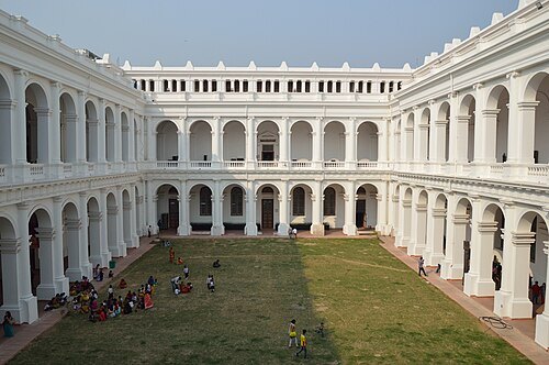 national museum
Indian Museum
museum in India
Getting there Nearest stop or station Park Street, about 5 min on foot OpenStreetMap
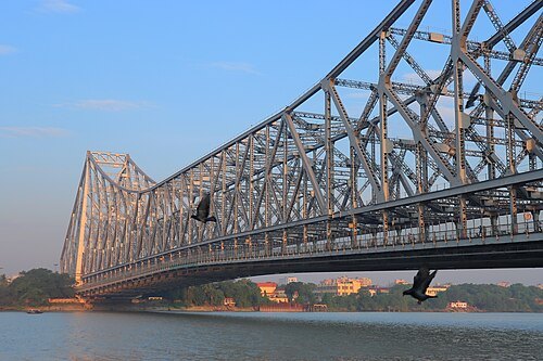 steel bridge
Howrah Bridge
cantilever bridge in Kolkata, India
Getting there Nearest stop or station Armenian Ghat, about 5 min on foot OpenStreetMap
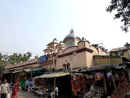
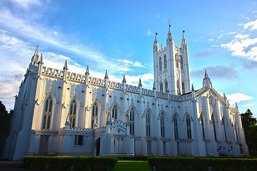 cathedral
St. Paul's Cathedral
cathedral in Kolkata
Getting there Nearest stop or station Rabindra Sadan, about 5 min on foot OpenStreetMap
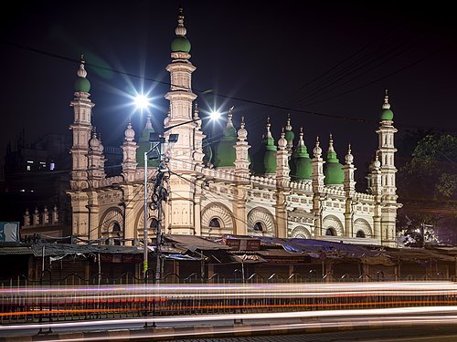 mosque
Tipu Sultan Mosque
mosque in Kolkata
Getting there Nearest stop or station Esplanade, about 2 min on foot OpenStreetMap
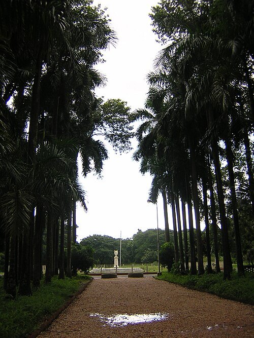
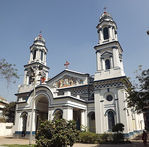 cathedral
Cathedral of the Most Holy Rosary
cathedral in India
Getting there Nearest stop or station Armenian Ghat, about 10 min on foot OpenStreetMap
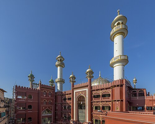 mosque
Nakhoda Masjid
mosque in India
Getting there Nearest stop or station Central, about 8 min on foot OpenStreetMap
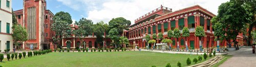 palace
Jorasanko Thakur Bari
ancestral home of the Tagore family in Kolkata, West Bengal, India
Getting there Nearest stop or station Girish Park, about 7 min on foot OpenStreetMap
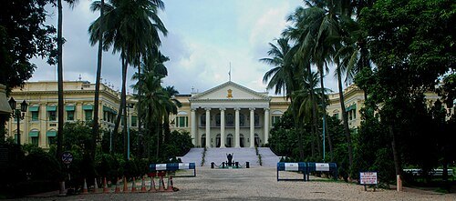
Rangan Datta Wiki / CC BY-SA 3.0
palaceLok Bhavan
official residence of the Governor of West Bengal
Getting there Nearest stop or station Esplanade, about 5 min on foot OpenStreetMap
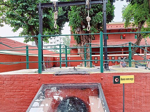
Gopa.bkduttaroy / CC BY-SA 4.0
museumAlipore Central Jail
former jail converted to museum located in Kolkata
Getting there Nearest stop or station Jatin Das Park, about 11 min on foot OpenStreetMap
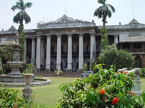
en:User:Mjanich / CC BY-SA 3.0
museumMarble Palace
historic building in Kolkata
Getting there Nearest stop or station Mahatma Gandhi Road, about 3 min on foot OpenStreetMap
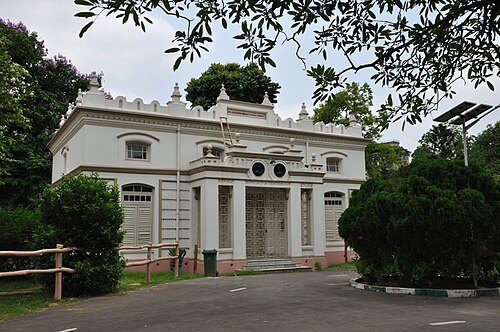
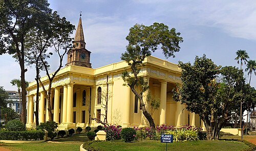 church building
St. John's Church
church in Kolkata, India
Getting there Nearest stop or station B.B.D. Bag, about 8 min on foot OpenStreetMap
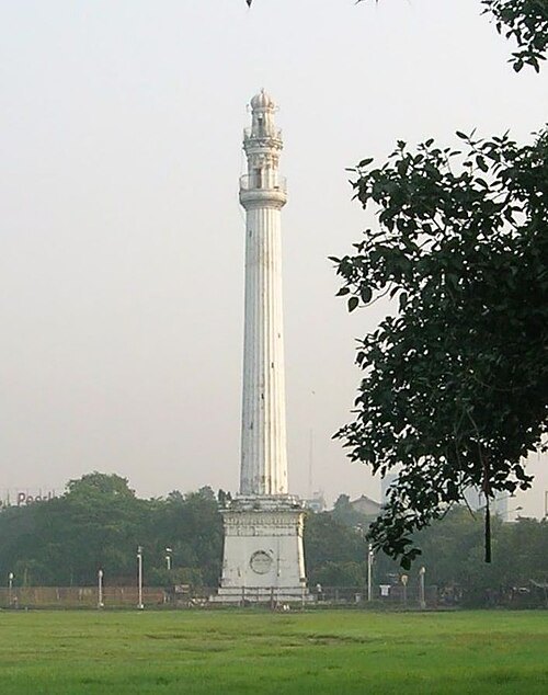 monument
Shaheed Minar
monument in Kolkata
Getting there Nearest stop or station Esplanade Bus Stand to Airport (line VS2), about 1 min on foot OpenStreetMap
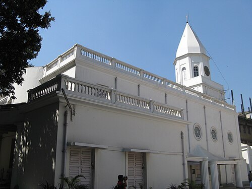 cemetery
Armenian Church of the Holy Nazareth
building in India
Getting there Nearest stop or station Armenian Ghat, about 8 min on foot OpenStreetMap
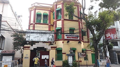 museum
Netaji Bhawan
historic building in India
Getting there Nearest stop or station Rabindra Sadan, about 9 min on foot OpenStreetMap
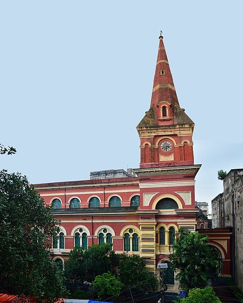 synagogue
Magen David Synagogue
synagogue in Kolkata
Getting there Nearest stop or station BBD Bagh, about 9 min on foot OpenStreetMap
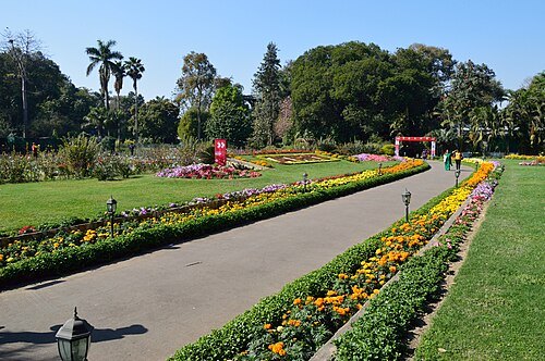 botanical garden
Agri-Horticultural Society of India
horticultural society and flower garden in Kolkata, India
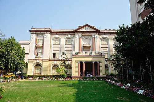 science museum
Birla Industrial & Technological Museum
Industrial & Technological Museum in Kolkata
Getting there Nearest stop or station Park Circus Tram Depot, about 13 min on foot OpenStreetMap
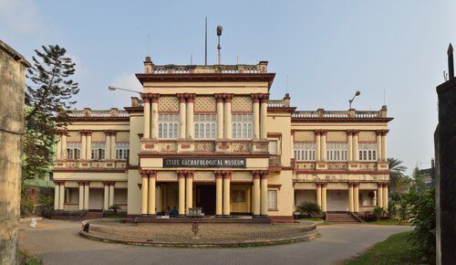 museum
State Archaeological Museum
museum in Kolkata
Getting there Nearest stop or station Behala Bazar, about 1 min on foot OpenStreetMap
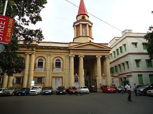 church building
St. Thomas Church
church in Kolkata
Getting there Nearest stop or station Maidan, about 6 min on foot OpenStreetMap
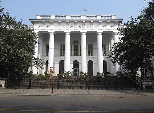 city hall
Kolkata Town Hall
building in India
Getting there Nearest stop or station Babughat Ferry to Howrah, about 7 min on foot OpenStreetMap
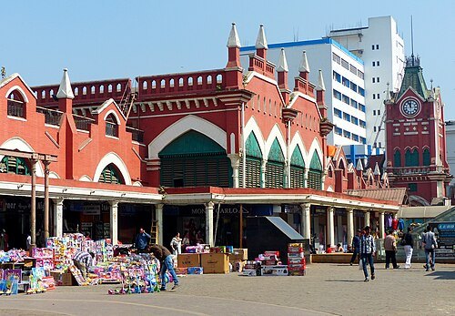 market
New Market
shopping mall in Kolkata, India
Getting there Nearest stop or station Esplanade (Line 1), about 6 min on foot OpenStreetMap
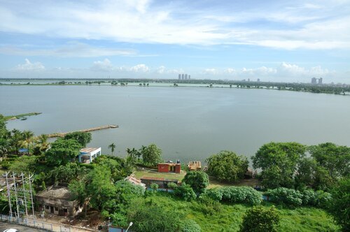 wetland
East Kolkata Wetlands
complex of natural and human-made wetlands lying east of Kolkata, West Bengal, India
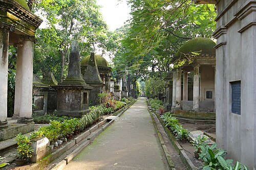
Ankur P from Pune, India / CC BY 2.0
cemeterySouth Park Street Cemetery
cemetery of Kolkata, West Bengal, India (1767–)
Getting there Nearest stop or station Park Circus Tram Depot, about 13 min on foot OpenStreetMap
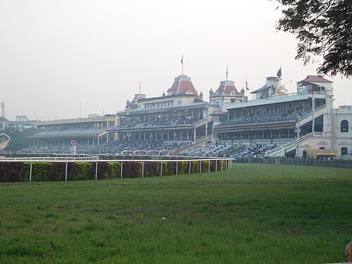 horse racing venue
Kolkata Race Course
race course in Kolkata
Getting there Nearest stop or station Rabindra Sadan, about 18 min on foot OpenStreetMap
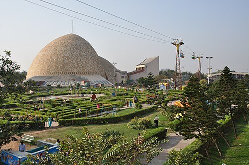
Biswarup Ganguly / CC BY-SA 3.0
science museumScience City
Science museum in Kolkata
Getting there Nearest stop or station Barun Sengupta, about 8 min on foot OpenStreetMap
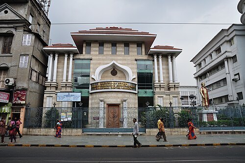 museum
Swami Vivekananda's Ancestral House & Cultural Centre
museum and cultural centre in Kolkata, West Bengal
Getting there Nearest stop or station Girish Park, about 7 min on foot OpenStreetMap
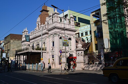 movie theater
Star Theatre, Kolkata
building in India
Getting there Nearest stop or station Shobhabazar Sutanuti, about 9 min on foot OpenStreetMap
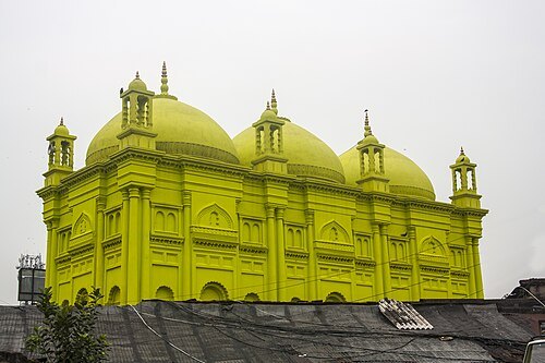 mosque
Basri Shah Mosque
Mosque in India
Getting there Nearest stop or station Bagbazar, about 8 min on foot OpenStreetMap
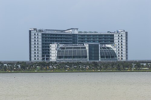
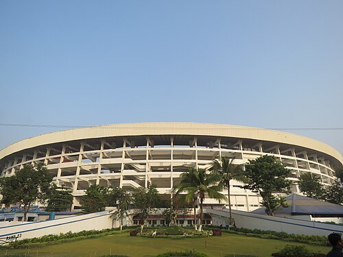 association football venue
Salt Lake Stadium
Multipurpose stadium in Bidhannagar, India
Getting there Nearest stop or station Gujarat Co-operative Milk Marketing Federation, about 7 min on foot OpenStreetMap
William Wood (fl. 1827–1833) / Public domain
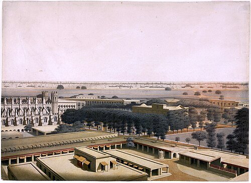
fortFort William
fort in Kolkata, India
Getting there Nearest stop or station Eden Gardens, about 11 min on foot OpenStreetMap
Abhijit Kar Gupta from Kolkata, India / CC BY 2.0
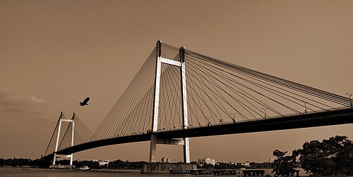
cable-stayed bridgeVidyasagar Setu
toll bridge in West Bengal, India
Getting there Nearest stop or station Prinsep Ghat, about 6 min on foot OpenStreetMap
 skyscraper
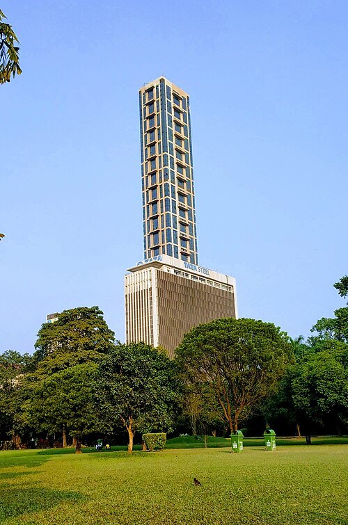
The 42
building in India
Getting there Nearest stop or station Maidan, about 2 min on foot OpenStreetMap
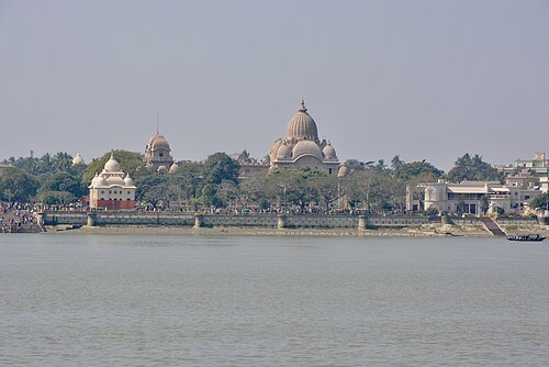
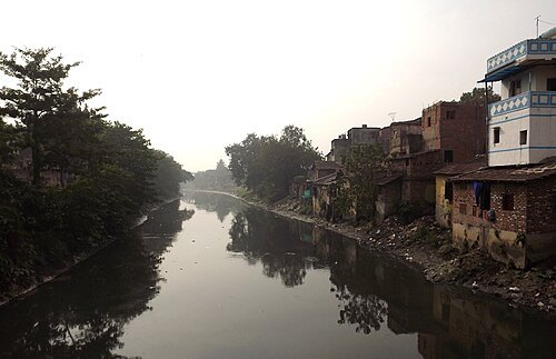 river
Adi Ganga
river in India
Getting there Nearest stop or station Prinsep Ghat, about 15 min on foot OpenStreetMap
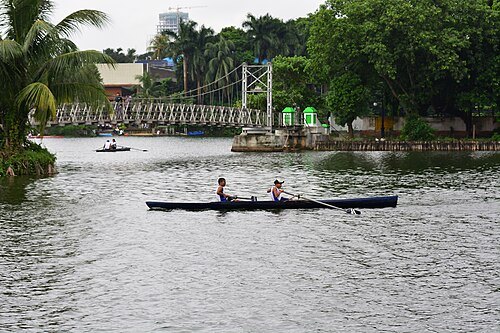 artificial lake
Rabindra Sarobar
artificial lake in Kolkata
Getting there Nearest stop or station Lake Gardens, about 11 min on foot OpenStreetMap
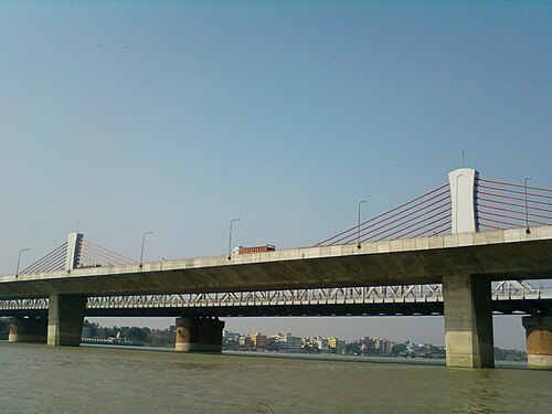 bridge
Nivedita Setu
multi-span extradosed bridge completed 2007 across Hooghly River linking the twin cities of Howrah and Kolkata in West Bengal, India
Getting there Nearest stop or station Dakshineswar, about 7 min on foot OpenStreetMap
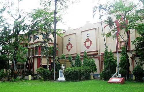
Salil Kumar Mukherjee / CC BY-SA 4.0
museumGurusaday Museum
Folk arts and crafts museum in Kolkata, India
Getting there Nearest stop or station 3A bus stand, about 3 min on foot OpenStreetMap
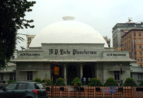
Avrajyoti Mitra / CC BY-SA 2.0
planetariumM. P. Birla Planetarium
planetarium museum in Kolkata, India
Getting there Nearest stop or station Rabindra Sadan, about 8 min on foot OpenStreetMap
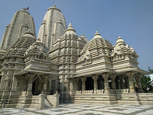
Ankur P from Pune, India / CC BY 2.0
templeBirla Mandir
temple in Kolkata
Getting there Nearest stop or station Park Circus Tram Depot, about 20 min on foot OpenStreetMap
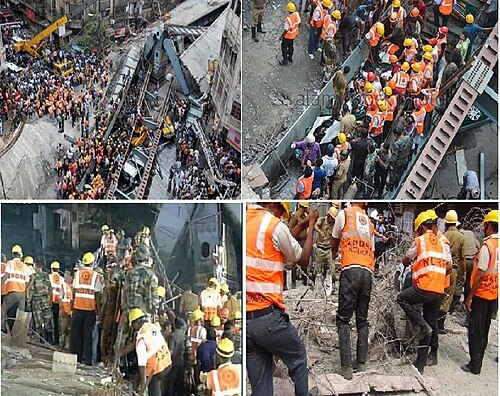 bridge failure
Kolkata flyover collapse
Disaster in Kolkata which occurred on 31 March 2016
Getting there Nearest stop or station Girish Park, about 8 min on foot OpenStreetMap
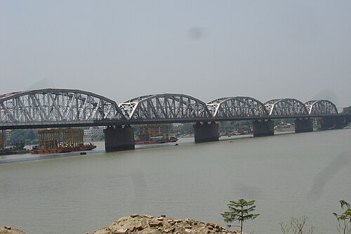
Palrana at en.wikipedia / Public domain
railway bridgeVivekananda Setu
steel multi-span road and railway bridge opened 1930 across the Hooghly River linking the twin cities of Howrah and Kolkata in West Bengal, India
Getting there Nearest stop or station Dakshineswar, about 7 min on foot OpenStreetMap
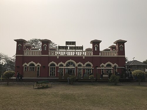 railway museum
Regional Railway Museum
rail museum in Howrah
Getting there Nearest stop or station Howrah Ghat, about 8 min on foot OpenStreetMap
- museum
Asutosh Museum of Indian Art
an art museum of University of Calcutta
Getting there Nearest stop or station Central, about 6 min on foot OpenStreetMap
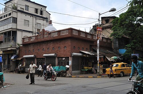 temple
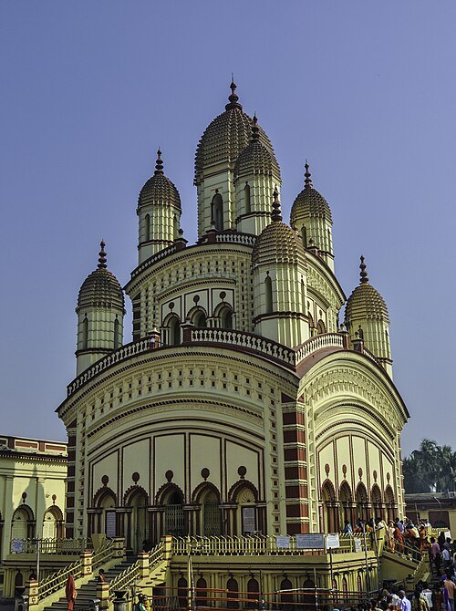
Thanthania Kalibari
temple in Kolkata
Getting there Nearest stop or station Mahatma Gandhi Road, about 7 min on foot OpenStreetMap
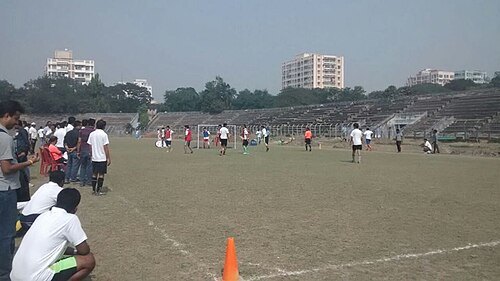 stadium
Rabindra Sarobar Stadium
stadium of West Bengal
Getting there Nearest stop or station Lake Gardens, about 7 min on foot OpenStreetMap
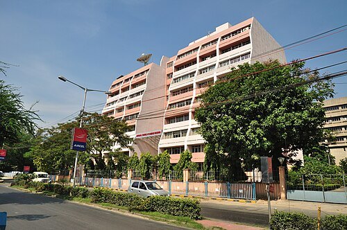
Biswarup Ganguly / CC BY-SA 3.0
museum councilNational Council of Science Museums
government organization under the Indian Ministry of Culture
Getting there Nearest stop or station Nalban Metro Station, about 13 min on foot OpenStreetMap
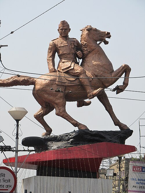 sculpture
Subhas Chandra Bose statue
statue by Nagesh Yoglekar in Kolkata, India
Getting there Nearest stop or station Shyambazar, about 2 min on foot OpenStreetMap
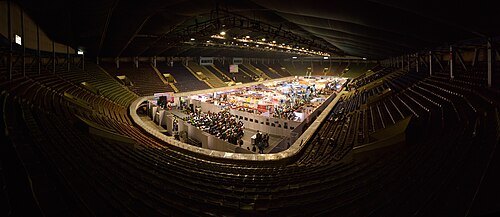 stadium
Netaji Indoor Stadium
event venue in Kolkata, West Bengal, India
Getting there Nearest stop or station Babu Ghat, about 3 min on foot OpenStreetMap
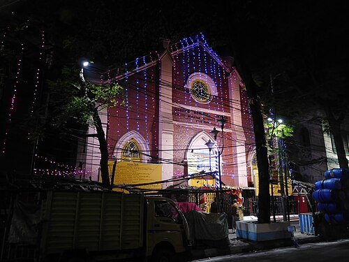 church building
Osmond Memorial Church
building in India
Getting there Nearest stop or station Sealdah, about 15 min on foot OpenStreetMap
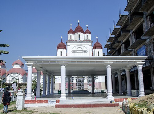 hindu temple
Kripamayee Kali Temple
Temple in Baranagar, Kolkata
Getting there Nearest stop or station Dakshineswar, about 2 min on foot OpenStreetMap
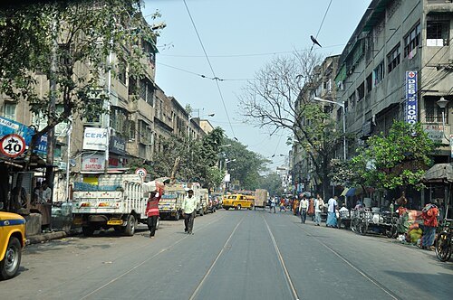 street
College Street
street in Kolkata, India
Getting there Nearest stop or station Central, about 9 min on foot OpenStreetMap


Places to eat
- restaurant
Shamshiji Restaurant & Caterer
Food: indian, mughlai, regional, curry, sandwich, kebab, biryani
- cafe
Kulture - Specialty Coffee & Bistro
Food: coffee shop, breakfast, pizza, steak house, pasta, specialty coffee, italian, mocktail, zero proof cocktail, pancake, smoothie bowl
- cafe
Burger Bite
Food: coffee shop, sandwich, breakfast, tea
- restaurant
Ilish
Food: indian, bengali
Nothing here matches that. Clear a filter and try again.
Opening hours and tickets: OpenStreetMap contributors. Each one shows the day a volunteer last wrote it down, so check the official site before you set out.