Ahmedabad: what to see and where to eat
Everything below comes from open data and each row says where it came from. We have not been to any of these places and we do not rank them.
Filters
Things to see
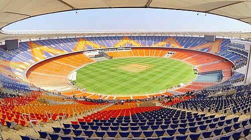
A Cricket Premi / CC BY-SA 4.0
stadiumNarendra Modi Stadium
cricket stadium in Ahmedabad, Gujarat, India
Getting there Nearest stop or station Motera Stadium, about 9 min on foot OpenStreetMap
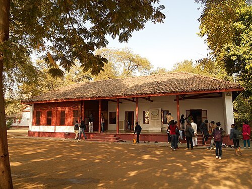 museum
Sabarmati Ashram
residence of Mahatma Gandhi (1917–1930)
Getting there Nearest stop or station Ranip, about 17 min on foot OpenStreetMap
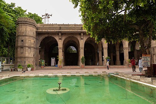
Amarjitchaudhary / CC BY-SA 4.0
mosqueSidi Saiyyed Mosque
mosque in Gujarat, India
Getting there Nearest stop or station Lal Darwaja AMTS Bus Stop, about 6 min on foot OpenStreetMap
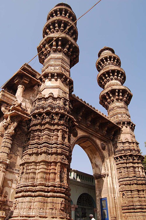
Palak gajrawala / CC BY-SA 3.0
mosqueSidi Bashir Mosque
mosque in India
Getting there Nearest stop or station Ahmedabad Junction, about 2 min on foot OpenStreetMap
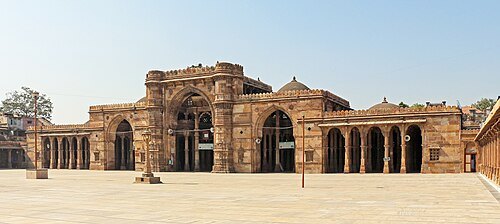 mosque
Jama Masjid, Ahmedabad
mosque of Gujarat, India
Getting there Nearest stop or station Gheekanta, about 9 min on foot OpenStreetMap
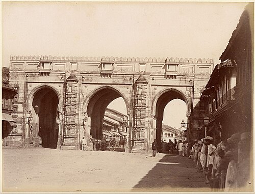
Charles Lickfold / Public domain
gateTeen Darwaza
historical gateway in Ahmedabad, India
Getting there Nearest stop or station Gheekanta, about 9 min on foot OpenStreetMap
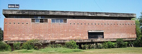 museum
Sanskar Kendra
museum and architectural site at Ahmedabad, India
Getting there Nearest stop or station Paldi, about 15 min on foot OpenStreetMap
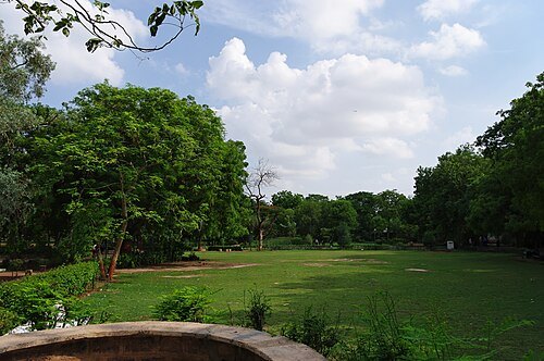
Emmanuel DYAN from Paris, France / CC BY 2.0
parkLaw garden
public garden in Ahmedabad, India
Getting there Nearest stop or station Gandhigram, about 13 min on foot OpenStreetMap
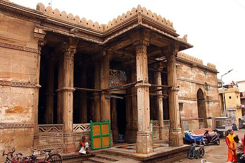 mausoleum
Ahmad Shah's Tomb
medieval mosque and the group of tombs in Ahmedabad, India.
Getting there Nearest stop or station Gheekanta, about 9 min on foot OpenStreetMap
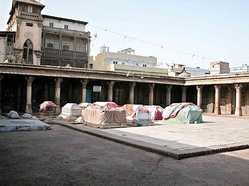 mausoleum
Rani no Hajiro
tomb complex near Manek Chowk, Ahmedabad, India
Getting there Nearest stop or station Gheekanta, about 9 min on foot OpenStreetMap
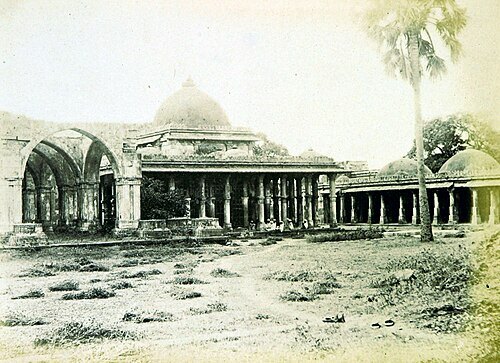
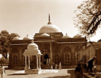 tomb
Shah-e-Alam's Roza
mosque and tomb complex in Gujarat, India
Getting there Nearest stop or station Kankaria Telephone exchange, about 15 min on foot OpenStreetMap
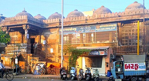
AhmedabadMuslims / CC BY-SA 3.0
mosqueDastur Khan's Mosque
mosque in Ahmedabad, Gujarat, India
Getting there Nearest stop or station Gujarat State Road Transport Corporation | Bus Station | Gita Mandir, about 8 min on foot OpenStreetMap
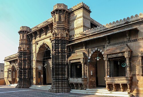 mosque
Rani Rupamati's Mosque
mosque in Gujarat, India
Getting there Nearest stop or station Gheekanta, about 7 min on foot OpenStreetMap
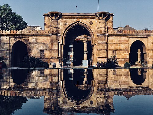 mosque
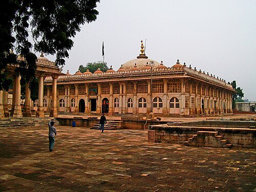
Ahmad Shah's Mosque
mosque in Gujarat, India
Getting there Nearest stop or station Lal Darwaja AMTS Bus Stop, about 3 min on foot OpenStreetMap
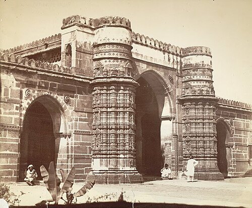
Charles Lickfold / Public domain
mosqueQutbuddin Mosque
mosque in Gujarat, India
Getting there Nearest stop or station Gheekanta, about 11 min on foot OpenStreetMap
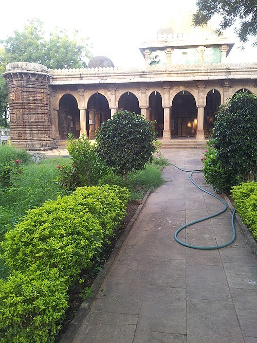
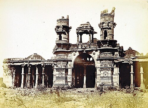
The British Library / No restrictions
mosqueMalik Alam's Mosque
mosque in Ahmedabad, India
Getting there Nearest stop or station Kankaria Telephone exchange, about 10 min on foot OpenStreetMap
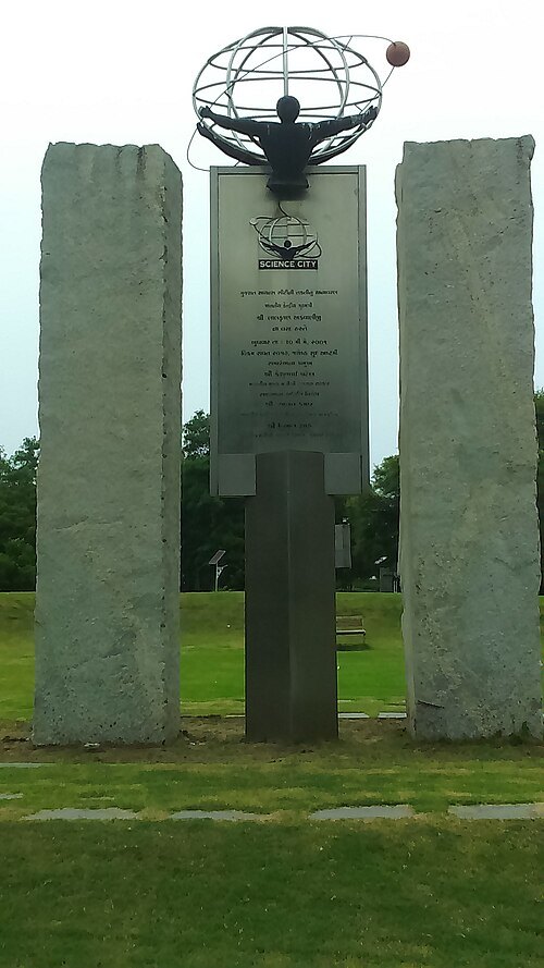
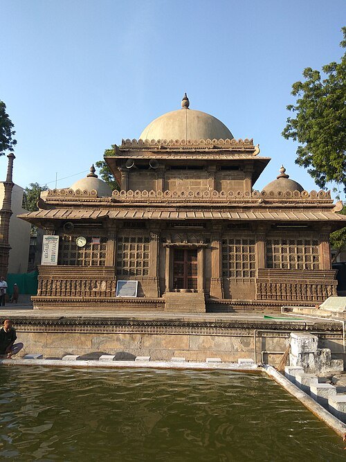
Shahabuddin Shaikh / CC BY-SA 4.0
tombRani Sipri's Mosque and Tomb
mosque and tomb complex in Ahmedabad, India
Getting there Nearest stop or station Gujarat State Road Transport Corporation | Bus Station | Gita Mandir, about 6 min on foot OpenStreetMap
- mosque
Muhafiz Khan Mosque
mosque in Gujarat, India
Getting there Nearest stop or station Gujarat State Road Transport Corporation | Bus Station | Gita Mandir, about 8 min on foot OpenStreetMap
- tomb
Saiyad Usman Mosque and Tomb
mosque and tomb in Gujarat, India
Getting there Nearest stop or station Usmanpura, about 8 min on foot OpenStreetMap
- tomb
Sardar Khan's Roza
mosque and tomb complex in Ahmedabad, India
Getting there Nearest stop or station Lal Darwaja AMTS Bus Stop, about 7 min on foot OpenStreetMap
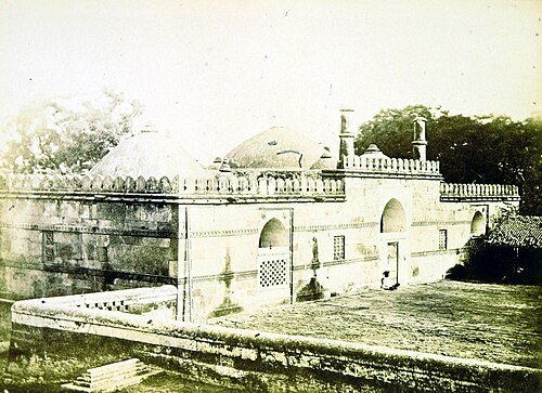
The British Library / No restrictions
mosqueHaibat Khan's Mosque
mosque in Ahmedabad, India
Getting there Nearest stop or station Gujarat State Road Transport Corporation | Bus Station | Gita Mandir, about 14 min on foot OpenStreetMap
 park
Parimal Garden
Public park in Ahmedabad, Gujarat, India
Getting there Nearest stop or station Paldi, about 11 min on foot OpenStreetMap
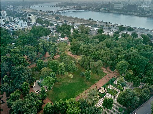
VAIDEHI BHAGWAT / CC BY-SA 4.0
urban parkLokmanya Tilak Garden
public park in Ahmedabad, India
Getting there Nearest stop or station Lal Darwaja AMTS Bus Stop, about 5 min on foot OpenStreetMap
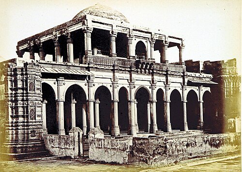
The British Library / No restrictions
mosqueShahpur Mosque
mosque in Gujarat, India
Getting there Nearest stop or station Shahpur Station, about 3 min on foot OpenStreetMap
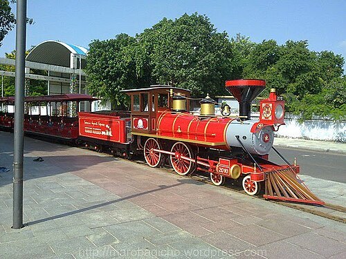 artificial lake
Kankaria Lake
tourist place and lake in Ahmedabad, India
Getting there Nearest stop or station Kankaria Telephone exchange, about 15 min on foot OpenStreetMap
- diocese of the catholic church
Roman Catholic Diocese of Ahmedabad
Roman Catholic diocese in India
Getting there Nearest stop or station Gheekanta, about 5 min on foot OpenStreetMap
 lake
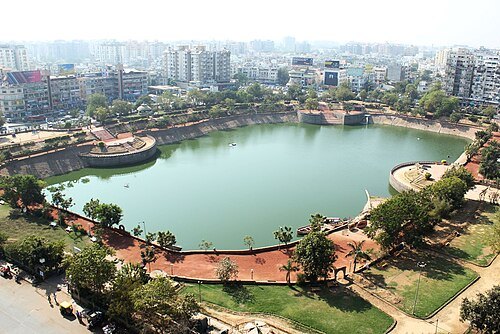
Vastrapur Lake
lake in India
Getting there Nearest stop or station Gurukul Road, about 16 min on foot OpenStreetMap
 hindu temple
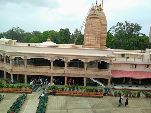
Jagannath Temple, Ahmedabad
Temple in Ahmedabad
Getting there Nearest stop or station Gujarat State Road Transport Corporation | Bus Station | Gita Mandir, about 19 min on foot OpenStreetMap
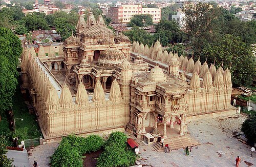 jain temple
Hutheesing Jain Temple
temple in Ahmedabad, Gujarat, India
Getting there Nearest stop or station Shahpur Station, about 14 min on foot OpenStreetMap
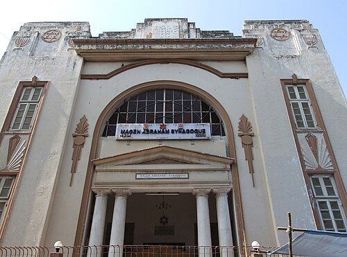 synagogue
Magen Abraham Synagogue
Synagogue in Ahmedabad, India
Getting there Nearest stop or station Lal Darwaja AMTS Bus Stop, about 9 min on foot OpenStreetMap
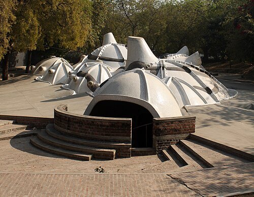 art museum
Amdavad ni Gufa
underground art gallery in Ahmedabad, India
Getting there Nearest stop or station Commerce Sixth Road, about 10 min on foot OpenStreetMap
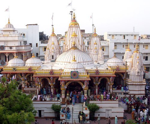
The original uploader was Bhudiya2 at English Wikipedia. / CC BY-SA 3.0
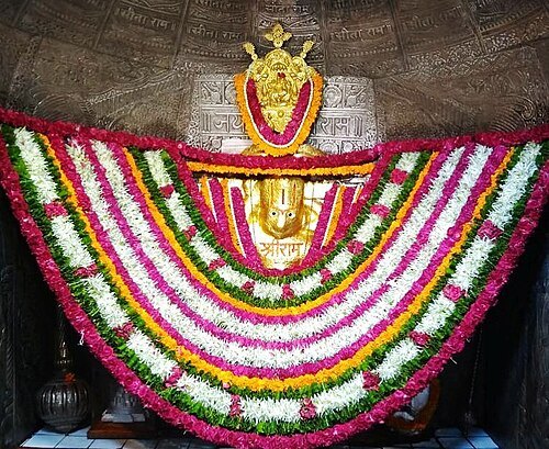
hindu templeKalupur Swaminarayan Mandir
temple in India
Getting there Nearest stop or station Gheekanta, about 7 min on foot OpenStreetMap
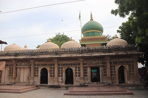 tomb
Wajihuddin's Tomb
tomb in Ahmedabad, India
Getting there Nearest stop or station Lal Darwaja AMTS Bus Stop, about 7 min on foot OpenStreetMap
Akshat and Umar / CC BY-SA 3.0
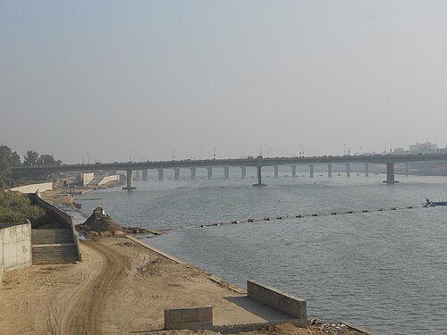
bridgeNehru Bridge
bridge in India
Getting there Nearest stop or station Lal Darwaja AMTS Bus Stop, about 7 min on foot OpenStreetMap
 square
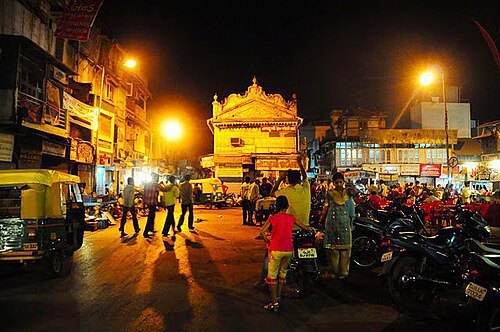
Manek Chowk (Ahmedabad)
prominent city square in Ahmedabad, India
Getting there Nearest stop or station Gheekanta, about 9 min on foot OpenStreetMap
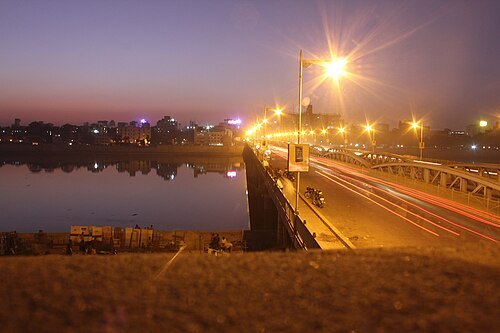 truss bridge
Ellis Bridge
river bridge in Ahmedabad, India
Getting there Nearest stop or station Lal Darwaja AMTS Bus Stop, about 6 min on foot OpenStreetMap
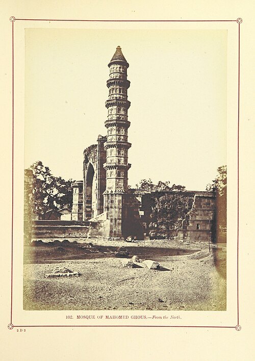
The British Library / No restrictions
mosqueMohammed Ghous Mosque
mosque in India
Getting there Nearest stop or station Kalupur Bus stop, about 3 min on foot OpenStreetMap
- bridge
Subhash Bridge
bridge in India
Getting there Nearest stop or station Sabarmati Junction, about 18 min on foot OpenStreetMap
- mosque
Miya Khan Chishti's Mosque
mosque in India
Getting there Nearest stop or station Sabarmati Junction, about 19 min on foot OpenStreetMap
- urban park
Ecology Park
urban park in Ahmedabad, Gujarat, India
Getting there Nearest stop or station Gora Ghuma, about 14 min on foot OpenStreetMap
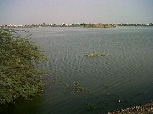
Jayshukla2006 / Jayshukla2006 at English Wikipedia / CC BY-SA 3.0
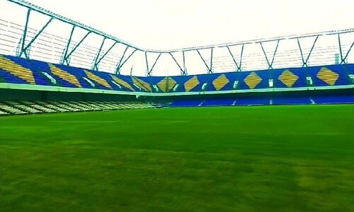 stadium
The Arena
building in India
Getting there Nearest stop or station Gujarat State Road Transport Corporation | Bus Station | Gita Mandir, about 12 min on foot OpenStreetMap
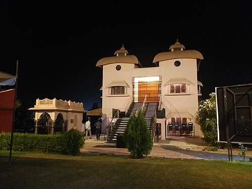 hindu temple
Ahmedabad Kali Bari
Hindu temple
Getting there Nearest stop or station Swagat Bunglows BRTS, about 15 min on foot OpenStreetMap
- theatre building
Premabhai Hall
building in Ahmedabad
Getting there Nearest stop or station Lal Darwaja AMTS Bus Stop, about 6 min on foot OpenStreetMap


Places to eat
- cafe
Coffee Stand-CG Road
Food: pizza, coffee shop, sandwich, italian, ice cream, regional, mexican
- restaurant
Green House Restaurant
Food: regional
- cafe
The Cafe Baraco
Food: multi cuisine
Nothing here matches that. Clear a filter and try again.
Opening hours and tickets: OpenStreetMap contributors. Each one shows the day a volunteer last wrote it down, so check the official site before you set out.