Egilsstaðir: what to see and where to eat
Everything below comes from open data and each row says where it came from. We have not been to any of these places and we do not rank them.
Filters
Things to see
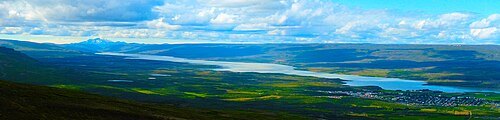
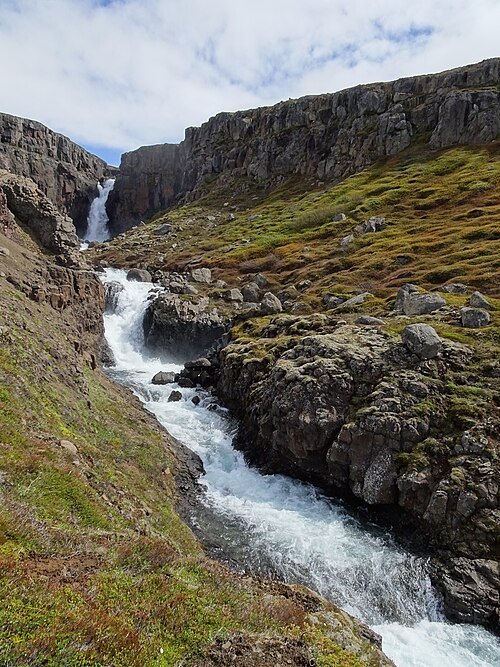 waterfall
Fardagafoss
waterfall in Iceland
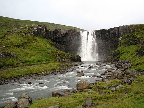 waterfall
Gufufoss
waterfall in Iceland
- waterfall
Klifbrekkufossar
- museum
Technical Museum of East Iceland
Museum in Iceland
Getting there Nearest stop or station Norröna (Smyril Line), about 9 min on foot OpenStreetMap
- mountain
Stafdalsfell
mountain in Iceland
- lake
Eiðavatn
lake in Iceland
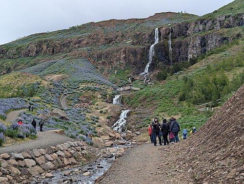 waterfall
Búðareyrarfoss
Getting there Nearest stop or station Norröna (Smyril Line), about 16 min on foot OpenStreetMap
- mountain
Staffell
mountain in Iceland
- mountain
Slenjufjall
mountain in Iceland
- mountain
Skagafell
mountain in Iceland
- mountain
Ófeigsfjall
mountain in Iceland
- mountain
Kleppur
mountain in Iceland
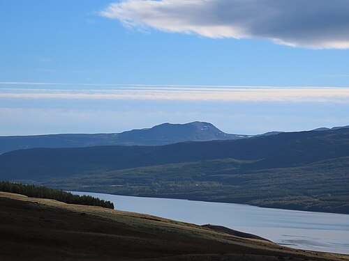 mountain
Höttur
mountain in Iceland
- mountain
Heiðarhnjúkur
mountain in Iceland
- mountain
Fannartindur
mountain in Iceland
- valley
Vestdalur
- mountain
Dragafjall
mountain in Iceland
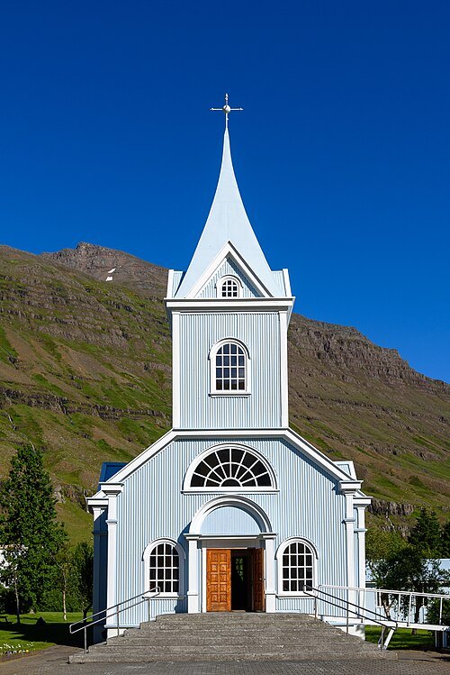 church building
Seyðisfjardar Church
Lutheran church in Seyðisfjardar, Iceland
Getting there Nearest stop or station Norröna (Smyril Line), about 6 min on foot OpenStreetMap
- church building
Eiðakirkja
church building in Iceland
- valley
Slenjudalur
- mountain
Prestakleif
mountain in Iceland
- mountain
Ekkjufell
mountain in Iceland
- mountain
Birnufell
mountain in Iceland
- river
Svínalækur
river in Iceland
- river
Teigará
river in Iceland; GeoNames ID = 2626112


Places to eat
Nothing here matches that. Clear a filter and try again.
Opening hours and tickets: OpenStreetMap contributors. Each one shows the day a volunteer last wrote it down, so check the official site before you set out.