Vác: what to see and where to eat
Everything below comes from open data and each row says where it came from. We have not been to any of these places and we do not rank them.
Filters
Things to see
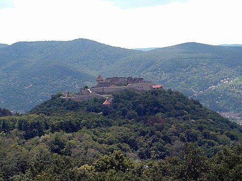 castle
Visegrád Castle
royal castle at Visegrád, Hungary
Getting there Nearest stop or station Visegrád hajóállomás, about 7 min on foot OpenStreetMap
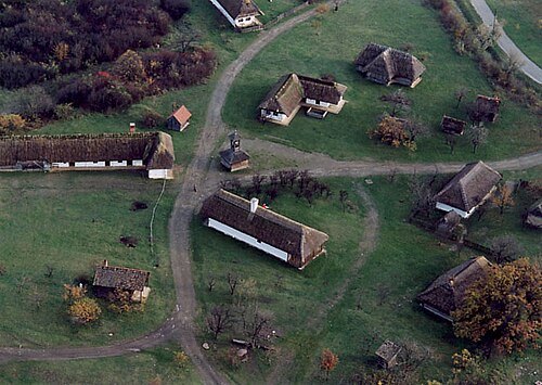
Unknown authorUnknown author / CC BY-SA 2.5
open-air museumOpen-air Ethnographic Museum
open-air museum
Getting there Nearest stop or station Vízimalom, about 1 min on foot OpenStreetMap
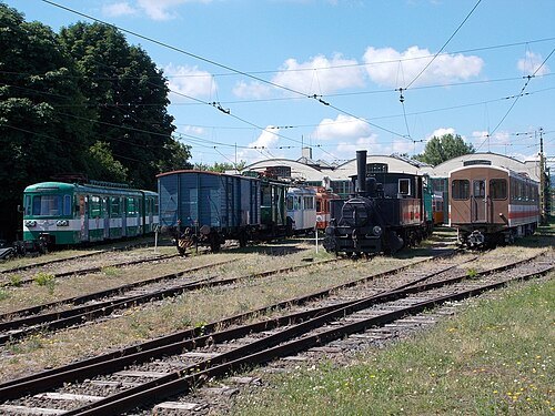 transport museum
Urban Public Transport Museum
transport museum in Szentendre, Hungary
Getting there Nearest stop or station Szentendre, autóbusz-állomás, about 2 min on foot OpenStreetMap
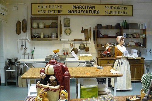 food museum
Szentendre marzipan museum
- château
Károlyi Mansion, Fót
former castle in Pest County, Hungary
Getting there Nearest stop or station Fótújfalu, about 14 min on foot OpenStreetMap
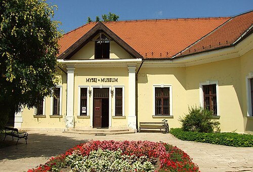 museum
Serbian Orthodox Museum
museum in Szentendre, Hungary
Getting there Nearest stop or station Szentendre, about 12 min on foot OpenStreetMap
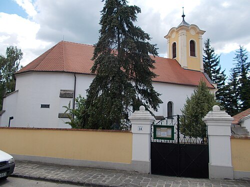 reformed christianity church
Reformed church, Szentendre
former Serbian orthodox church
The original uploader was Stipkovits7 at Hungarian Wikipedia. / CC BY-SA 3.0
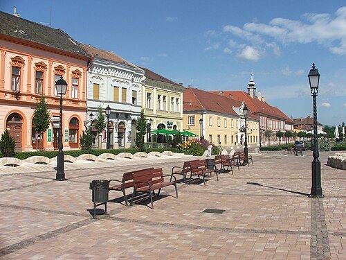
city hallVác Town Hall
building in Vác, Hungary
Getting there Nearest stop or station Vác, rév, about 3 min on foot OpenStreetMap
Unknown authorUnknown author / CC BY-SA 2.5
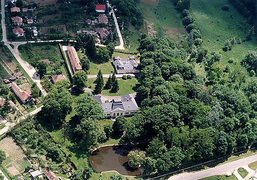
châteauPrónay Mansion, Alsópetény
Martin Belam (currybet) from Niederalm, Austria / CC BY-SA 2.0
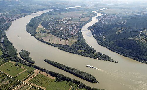
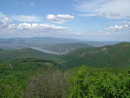
The original uploader was Kaboldy at Hungarian Wikipedia. / CC BY-SA 3.0
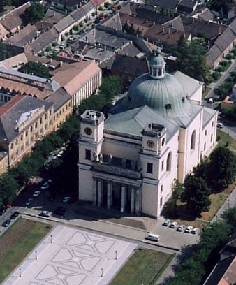
Catedral_of_Vác.jpg: Civertan derivative work: Rabanus Flavus / CC BY-SA 2.5
catholic church buildingVác Cathedral
church in Vác, Hungary
Getting there Nearest stop or station Vác, rév, about 8 min on foot OpenStreetMap
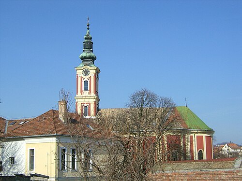
- eastern orthodox church building
Annunciation Church
church in Szentendre, Hungary
Getting there Nearest stop or station Szentendre, about 12 min on foot OpenStreetMap
- serbian orthodox church
Pozsarevacska Church
church building in Szentendre, Hungary
Getting there Nearest stop or station Szentendre, about 7 min on foot OpenStreetMap
- serbian orthodox church
Transfiguration Church
church building in Szentendre, Hungary
Getting there Nearest stop or station Szentendre, about 19 min on foot OpenStreetMap
- palace
royal palace of Visegrád
Getting there Nearest stop or station Visegrád hajóállomás, about 6 min on foot OpenStreetMap
- cave
Pál-völgy Cave
 lutheran church
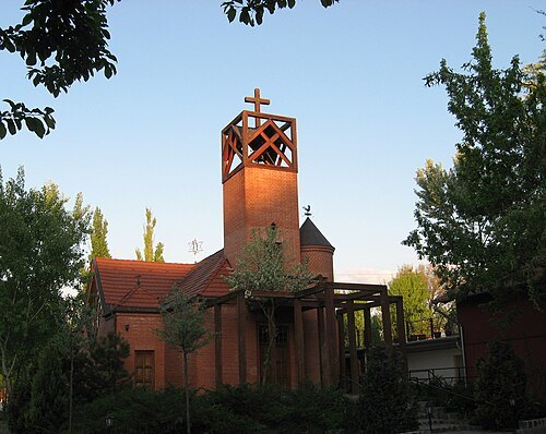
House of Reconciliation
church building in Budapest District III, Hungary
Getting there Nearest stop or station Békásmegyer-Pünkösdfürdő, about 15 min on foot OpenStreetMap
 ancient roman structure
Castra Ulcisia
Roman fort
Getting there Nearest stop or station Szentendre, about 8 min on foot OpenStreetMap
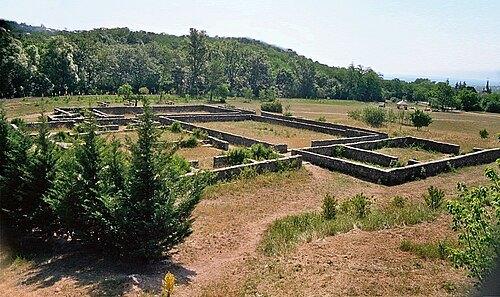 villa rustica
Villa rustica of Szentendre-Skanzen
Roman rural estate at zentendre-Skanzen
Getting there Nearest stop or station Vízimalom, about 1 min on foot OpenStreetMap
- mountain
Urak asztala
a mountain in Hungary
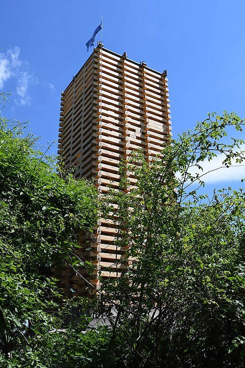
Pasztilla aka Attila Terbócs / CC BY-SA 4.0
mountainBölcső-hegy
mountain in Hungary
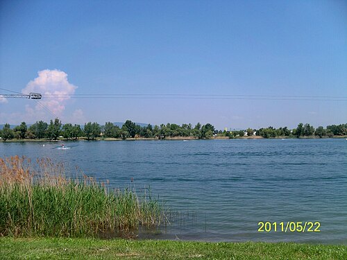 quarry lake
Omszk-tó
Getting there Nearest stop or station Budakalász, about 8 min on foot OpenStreetMap
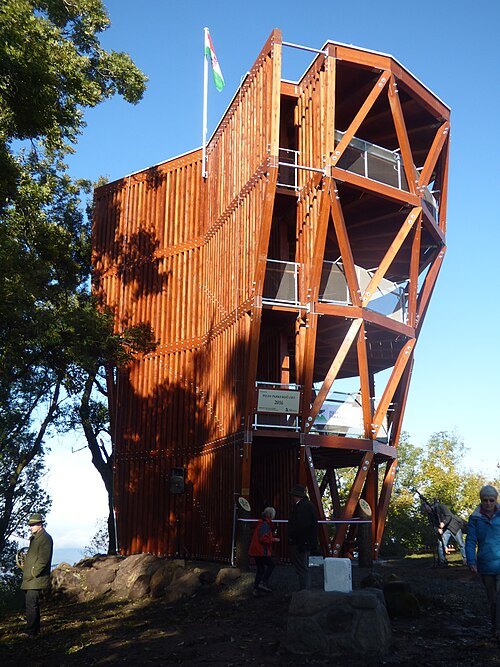 mountain
Prédikálószék
hilltop in Visegrád Mountains
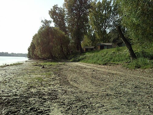 island
Pap Island
island in Pest County, Hungary
Getting there Nearest stop or station Szentendre, about 14 min on foot OpenStreetMap
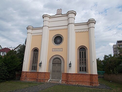 synagogue
Vác Synagogue
Getting there Nearest stop or station Vác, autóbusz-állomás, about 2 min on foot OpenStreetMap
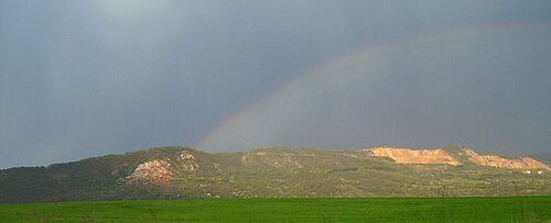 mountain
Naszály
mount in Hungary
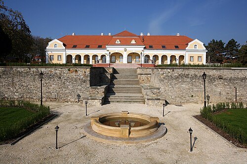
Magyar Kóruskastély / Public domain
châteauHungarian Choral Castle
building in Pomáz, Hungary
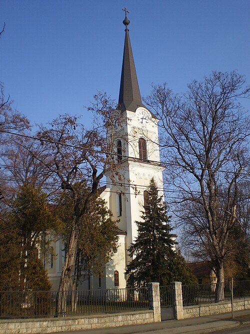 catholic church building
Exaltation of the Cross church, Budakalász
- catholic church building
Castle church in Szentendre
- catholic church building
Roman Catholic Church, Fót
Getting there Nearest stop or station Fótújfalu, about 15 min on foot OpenStreetMap
- catholic church building
Saints Peter and Paul Church, Szentendre
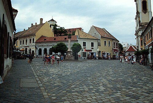
The original uploader was Mkesmarki at Hungarian Wikipedia. / CC BY-SA 3.0
squareFő tér
Getting there Nearest stop or station Szentendre, about 12 min on foot OpenStreetMap
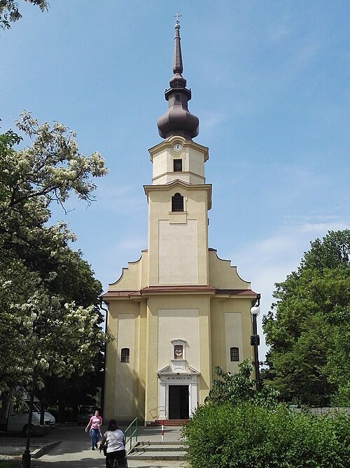 church building
Sacred Heart Church
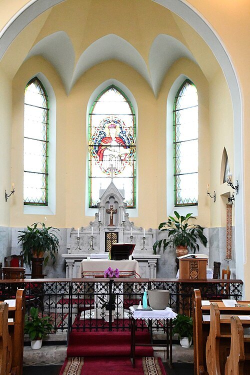
Pasztilla aka Attila Terbócs / CC BY-SA 4.0
catholic church buildingSaint John of Nepomuk chapel in Dunakeszi-Alag
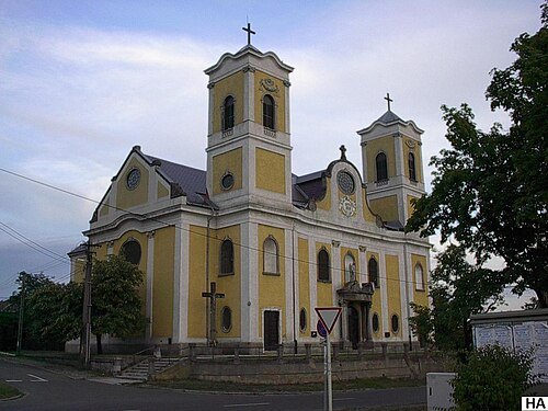 catholic church building
Saint Michael Church
Getting there Nearest stop or station Dunakeszi, about 12 min on foot OpenStreetMap
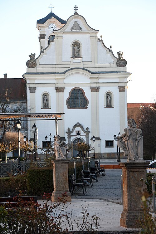
Pasztilla aka Attila Terbócs / CC BY-SA 4.0
catholic church buildingChurch of the Whites
church in Vác, Hungary
Getting there Nearest stop or station Vác, rév, about 3 min on foot OpenStreetMap
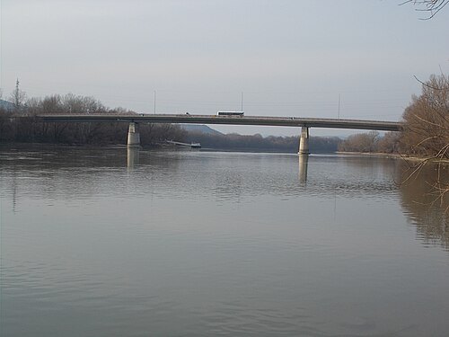 road bridge
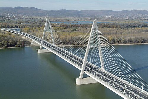
Tildy bridge
bridge in Hungary
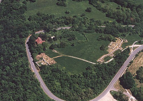 ancient roman structure
Castra Ponte Navata
Roman fort
Getting there Nearest stop or station Visegrád hajóállomás, about 7 min on foot OpenStreetMap
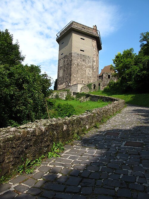 museum
Solomon Tower, Visegrád
Getting there Nearest stop or station Visegrád hajóállomás, about 2 min on foot OpenStreetMap
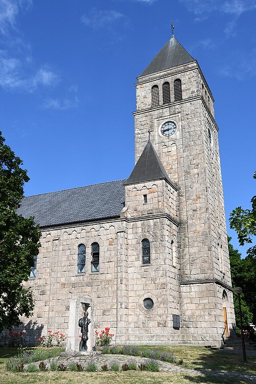
Pasztilla aka Attila Terbócs / CC BY-SA 4.0
catholic church buildingSaint John of Nepomuk Church, Dunabogdány
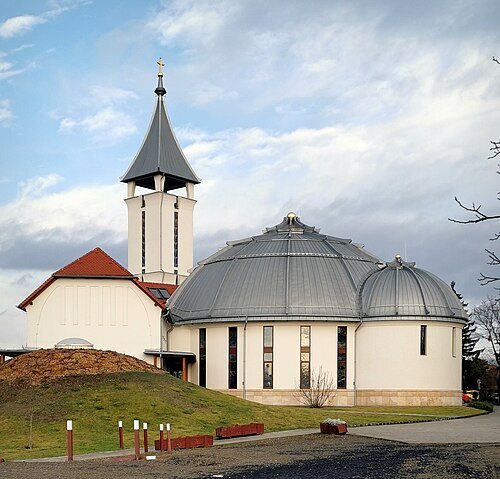 catholic church building
Holy Spirit Church (Veresegyház)
Getting there Nearest stop or station Erdőkertes, about 16 min on foot OpenStreetMap
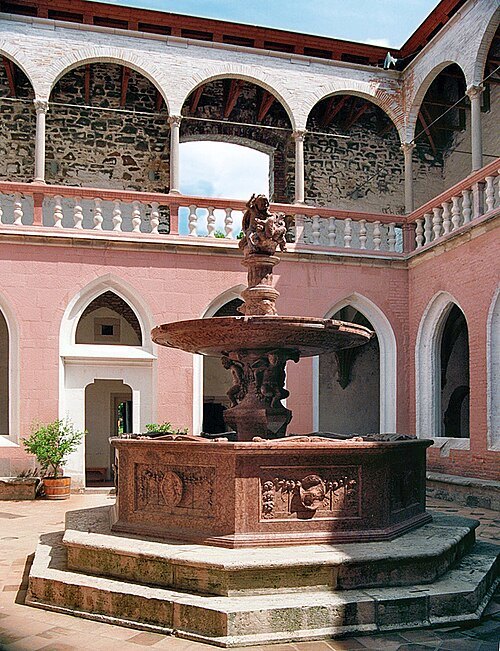 fountain
Hercules Fountain in Visegrád
Getting there Nearest stop or station Visegrád hajóállomás, about 6 min on foot OpenStreetMap
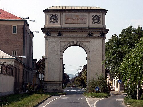
Original uploader was Bmagyarkuti at hu.wikipedia / CC BY-SA 3.0
triumphal archTriumphal Arch of Vác
the only triumphal arch in Hungary
Getting there Nearest stop or station Vác, autóbusz-állomás, about 10 min on foot OpenStreetMap
- château
Migazzi Mansion, Verőce
Getting there Nearest stop or station Kismaros, about 8 min on foot OpenStreetMap
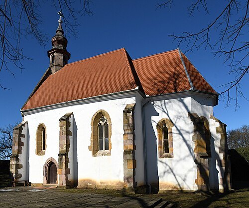
Pasztilla aka Attila Terbócs / CC BY-SA 4.0
catholic church buildingCatholic church in Nógrádsáp
church
- cave
Szemlő-hegy Cave


Places to eat
- restaurant
Piccadilly pizzéria
Food: pizza
Nothing here matches that. Clear a filter and try again.
Opening hours and tickets: OpenStreetMap contributors. Each one shows the day a volunteer last wrote it down, so check the official site before you set out.