Sopron: what to see and where to eat
Everything below comes from open data and each row says where it came from. We have not been to any of these places and we do not rank them.
Filters
Things to see
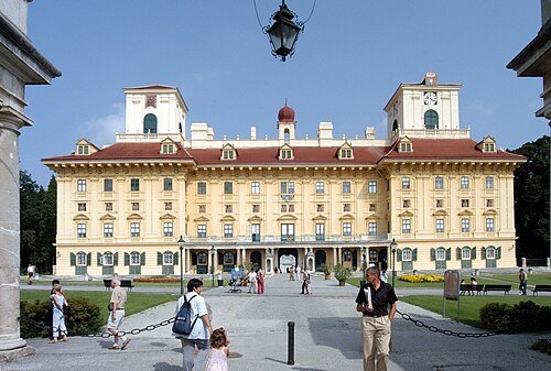 château
Schloss Esterházy
château in Eisenstadt, Austria
Getting there Nearest stop or station Eisenstadt Domplatz, about 7 min on foot OpenStreetMap
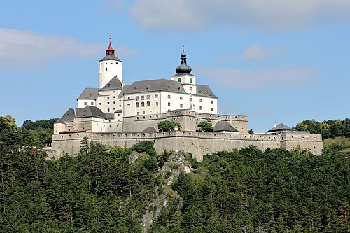
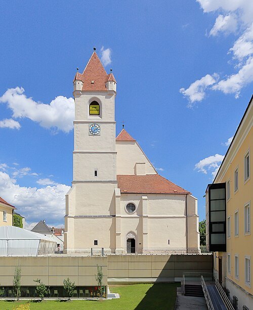 parish church
Eisenstadt Cathedral
church building in Burgenland, Austria
Getting there Nearest stop or station Eisenstadt Domplatz, about 1 min on foot OpenStreetMap
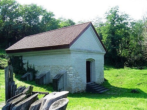
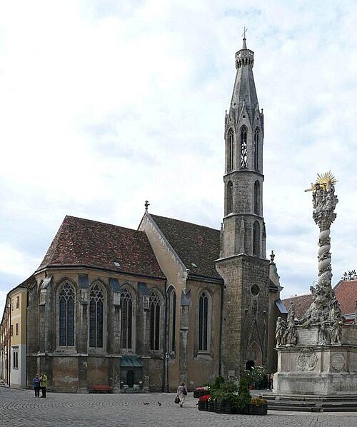
Kecske-templom_01.jpg: Zyance derivative work: Rabanus Flavus / CC BY 3.0
catholic church buildingGoat Church, Sopron
church
Getting there Nearest stop or station Autóbusz-állomás, about 6 min on foot OpenStreetMap
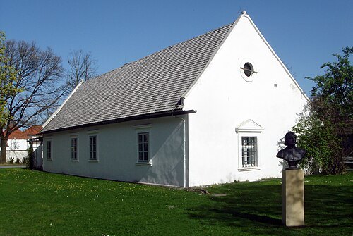
- jewish museum
Österreichisches Jüdisches Museum
museum in Eisenstadt, Austria dedicated to Jewish history and culture
Getting there Nearest stop or station Eisenstadt Domplatz, about 10 min on foot OpenStreetMap
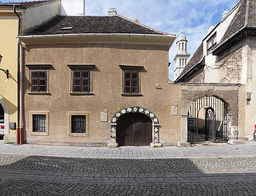
Francesco vecchio / CC BY-SA 3.0
synagogueOld Synagogue (Sopron)
Getting there Nearest stop or station Autóbusz-állomás, about 8 min on foot OpenStreetMap
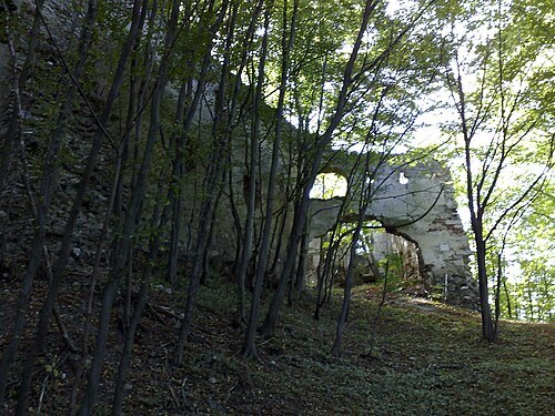 ruins
Burgruine Schwarzenbach
castle
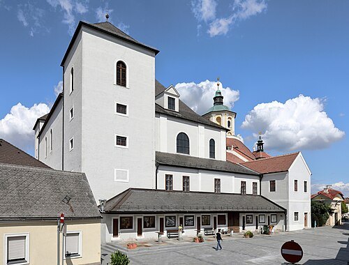 church building
Bergkirche
church in Eisenstadt, Austria
Getting there Nearest stop or station Eisenstadt Domplatz, about 16 min on foot OpenStreetMap
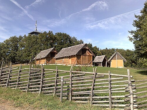 archaeological site
Keltendorf Schwarzenbach
museum in Austria
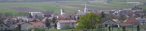
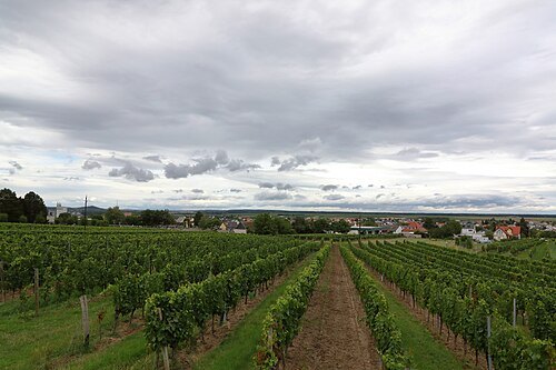
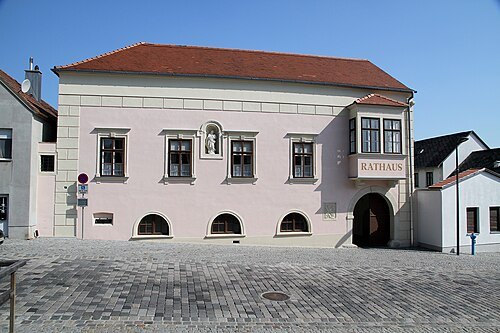
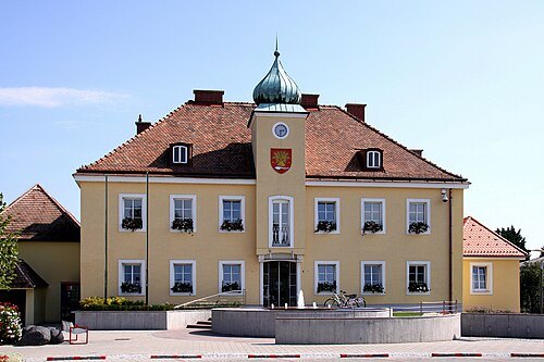
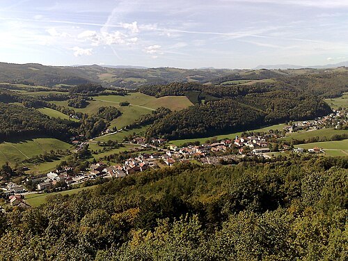
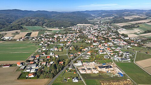
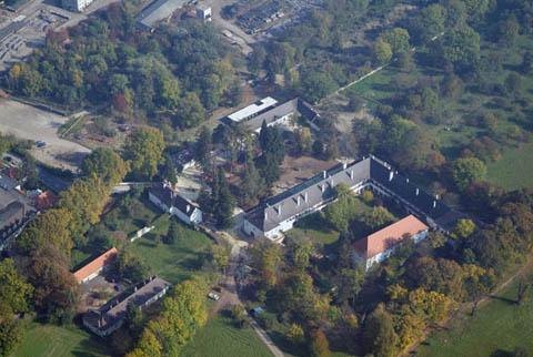
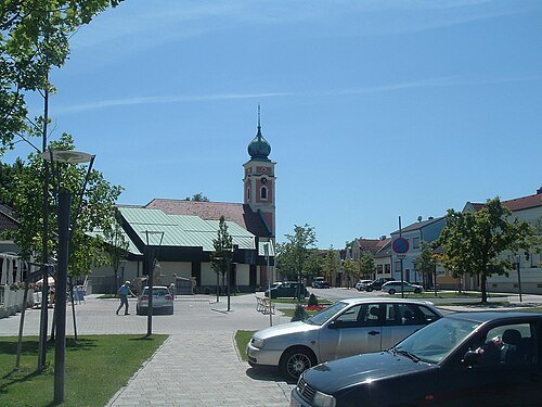
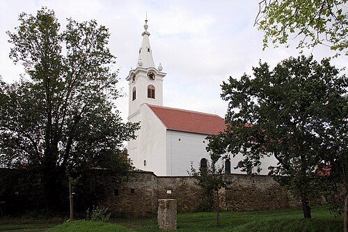
Steindy (talk) 08:46, 20 March 2012 (UTC) / CC BY-SA 3.0
market municipalityWulkaprodersdorf
municipality in Eisenstadt-Umgebung District, Burgenland, Austria
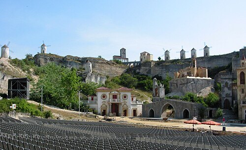
Dralon at German Wikipedia / CC BY 2.0
market municipalitySankt Margarethen im Burgenland
municipality in Eisenstadt-Umgebung District, Burgenland, Austria
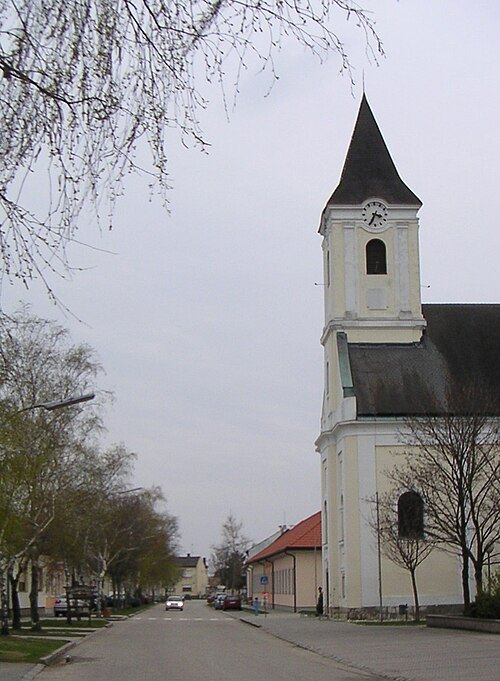
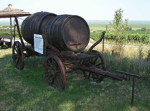 market municipality
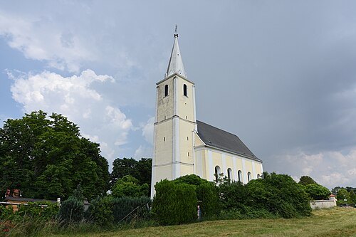
Oggau am Neusiedler See
municipality in Eisenstadt-Umgebung District, Burgenland, Austria
- market municipality
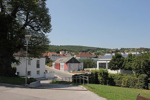
Rohrbach bei Mattersburg
municipality in Mattersburg District, Burgenland, Austria
- association football venue
Pappelstadion
football stadium
Getting there Nearest stop or station Mattersburg, about 7 min on foot OpenStreetMap
Roman Klementschitz (talk · contribs), Wien / CC BY-SA 3.0
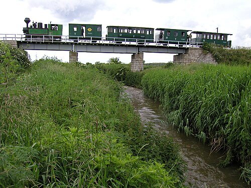
riverIkva
river in Austria and Hungary
Both Előd at Hungarian Wikipedia / CC BY-SA 3.0
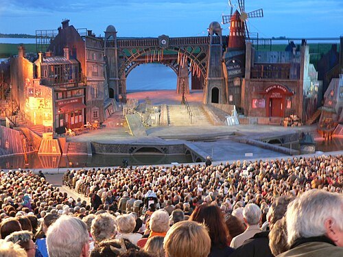
lake stageSeefestspiele Mörbisch
music festival on a lake stage in Mörbisch, Austria
Getting there Nearest stop or station Drescher Line, about 1 min on foot OpenStreetMap
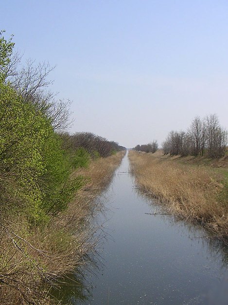 canal
Einser-Kanal
canal
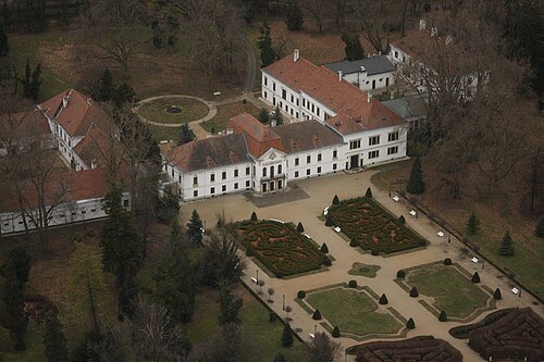 château
Széchenyi Mansion
château
Getting there Nearest stop or station Kastély (Nagycenk), about 6 min on foot OpenStreetMap
- mountain
Greimkogel
mountain
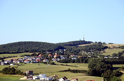 mountain
Brenntenriegel
mountain in the Ödenburger Gebirge in Burgenland
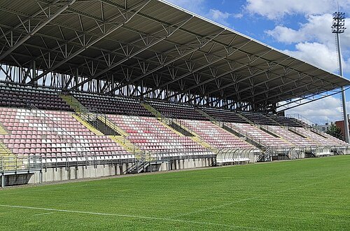 stadium
Káposztás Street Stadium
sports venue in Sopron, Hungary
Getting there Nearest stop or station Autóbusz-állomás, about 7 min on foot OpenStreetMap
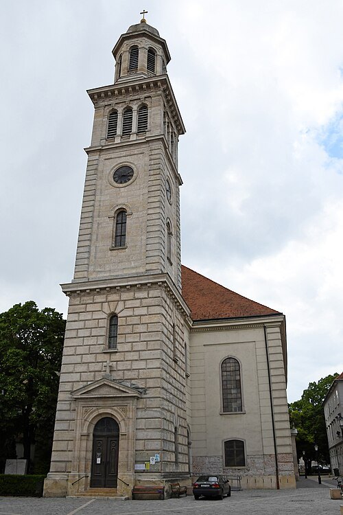
Pasztilla aka Attila Terbócs / CC BY-SA 4.0
lutheran churchLutheran Church
church building in Sopron, Hungary
Getting there Nearest stop or station Autóbusz-állomás, about 6 min on foot OpenStreetMap
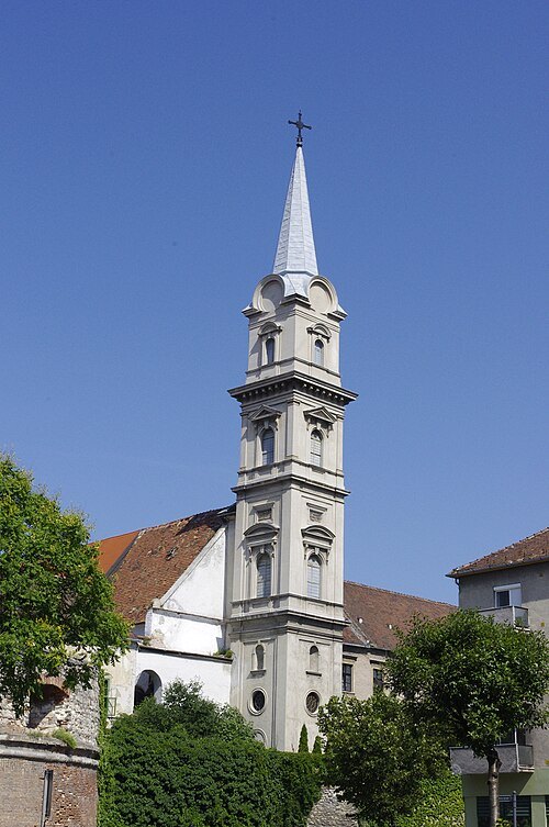 catholic church building
Saint George Church, Sopron
church
Getting there Nearest stop or station Autóbusz-állomás, about 9 min on foot OpenStreetMap
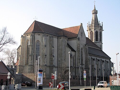 catholic church building
Saint Michael Church, Sopron
church
Getting there Nearest stop or station Autóbusz-állomás, about 14 min on foot OpenStreetMap
- mountain
Reisnerkogel
mountain
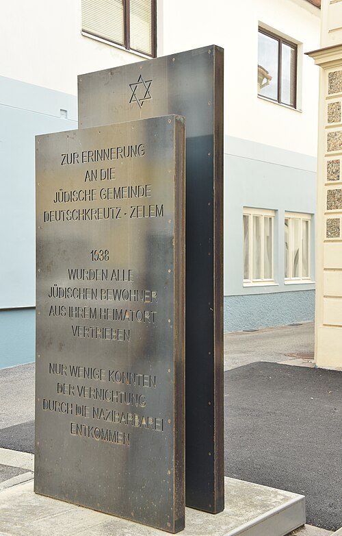
Christian Michelides / CC BY-SA 4.0
monumentDenkmal für die Juden von Zelem
holocaust memorial
Getting there Nearest stop or station Deutschkreutz, about 11 min on foot OpenStreetMap
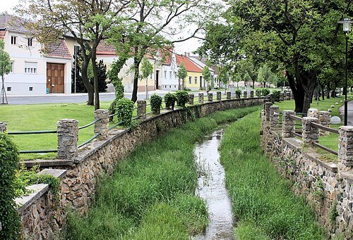 river
Raidingbach
river in Austria
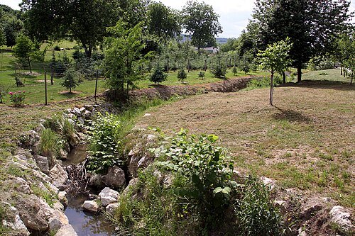
Steindy (talk) 01:12, 8 March 2012 (UTC) / CC BY-SA 3.0
riverTauscherbach
river in Austria
- soda lake
Zicklacke
pond in Austria
- mountain
Föllik
mountain in Austria
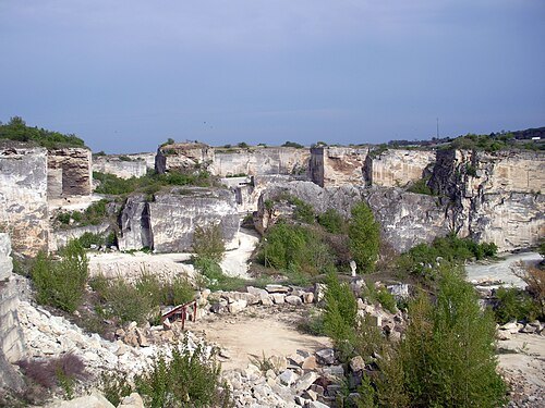 sylvan theater
Römersteinbruch Sankt Margarethen
building in Sankt Margarethen im Burgenland, Austria
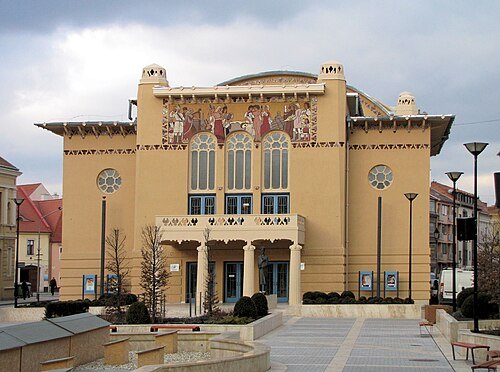 theatre building
Petőfi Theatre
theatre building in Sopron, Hungary
Getting there Nearest stop or station Autóbusz-állomás, about 7 min on foot OpenStreetMap
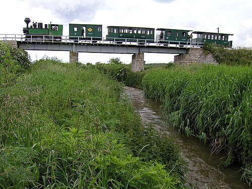
Roman Klementschitz (talk · contribs), Wien / CC BY-SA 3.0
railway museumSzéchenyi Railway Museum
narrow-gauge railway line in Hungary
Getting there Nearest stop or station Kastély (Nagycenk), about 1 min on foot OpenStreetMap
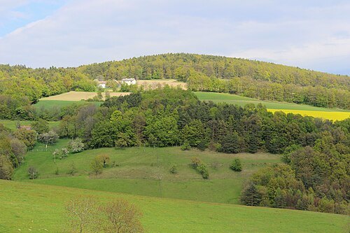 mountain
Königsbichl
mountain in Lower Austria
- mountain
Marriegel
mountain in Lower Austria
- mountain
Schlossberg
mountain in the Bucklige Welt in Lower Austria


Places to eat
- restaurant
Aranyfácán
Food: regional
- restaurant
Bella Italia
Food: pizza
- cafe
Segafredo
Food: coffee shop
- restaurant
Patrick's Pizza
Food: pizza
Nothing here matches that. Clear a filter and try again.
Opening hours and tickets: OpenStreetMap contributors. Each one shows the day a volunteer last wrote it down, so check the official site before you set out.