Gödöllő: what to see and where to eat
Everything below comes from open data and each row says where it came from. We have not been to any of these places and we do not rank them.
Filters
Things to see
- royal palace
Gödöllő Palace
imperial and royal Hungarian palace located in the municipality of Gödöllő in Pest county
Getting there Nearest stop or station Gödöllő, Szabadság tér, about 3 min on foot OpenStreetMap
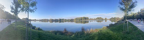
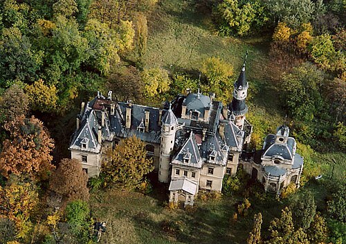
Unknown authorUnknown author / CC BY-SA 2.5
châteauSchossberger Castle
Hunting Lodge
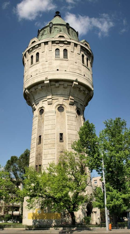
Misibacsi at Hungarian Wikipedia / CC BY-SA 3.0
water towerÚjpest Water Tower
water tower in Budapest, Hungary
Getting there Nearest stop or station Rákospalota-Újpest, about 9 min on foot OpenStreetMap
- château
Károlyi Mansion, Fót
former castle in Pest County, Hungary
Getting there Nearest stop or station Fótújfalu, about 14 min on foot OpenStreetMap
- château
Ráday Mansion, Pécel
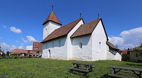 parish church
Saint Martin Church, Hévízgyörk
church building in Hévízgyörk, Hungary
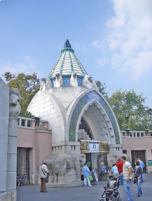
Martin Belam (currybet) from Niederalm, Austria / CC BY-SA 2.0
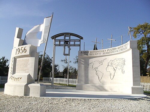 memorial
Gloria Victis Memorial
memorial
Getting there Nearest stop or station Csömör, about 5 min on foot OpenStreetMap
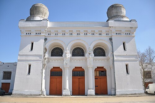
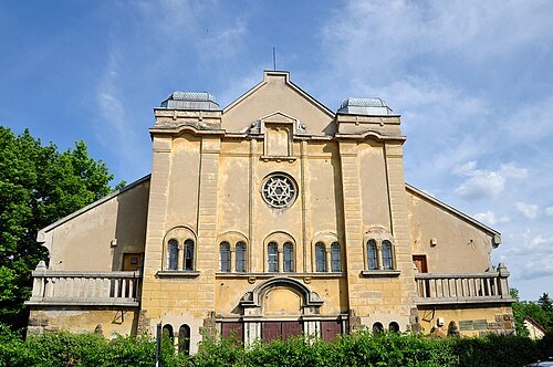 synagogue
Synagogue (Rákospalota)
former synagogue in Budapest, Hungary
Getting there Nearest stop or station Rákospalota-Újpest, about 15 min on foot OpenStreetMap
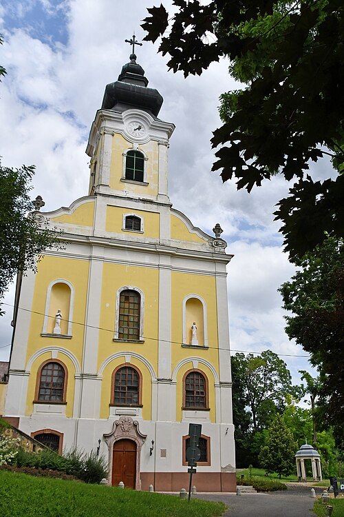
Pasztilla aka Attila Terbócs / CC BY-SA 4.0
parish churchOur Lady Basilica, Máriabesnyő
- cave
Pál-völgy Cave
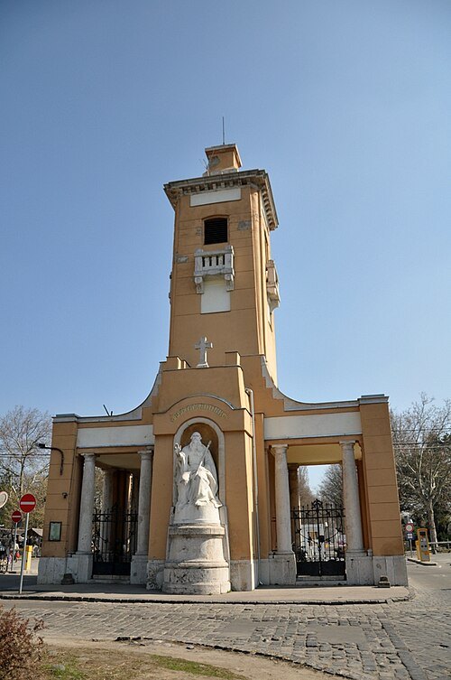
- jewish cemetery
Old jewish cemetery, Rákoskeresztúr
Getting there Nearest stop or station Rákoshegy, about 15 min on foot OpenStreetMap
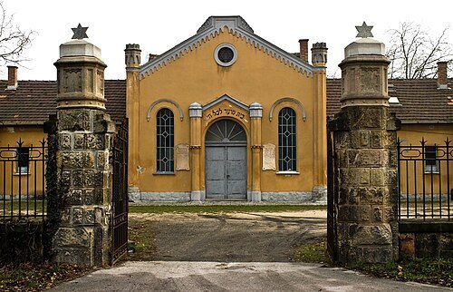 jewish cemetery
Gránátos Street Cemetery
Getting there Nearest stop or station Rákos, about 13 min on foot OpenStreetMap
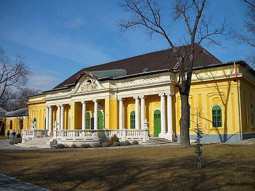 château
Podmaniczky–Vigyázó mansion, Budapest
Getting there Nearest stop or station Rákosliget, about 14 min on foot OpenStreetMap
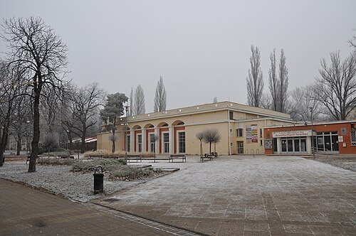 venue
Erzsébetliget Theatre
Theatre in Budapest
Getting there Nearest stop or station Mátyásföld, Imre utca, about 8 min on foot OpenStreetMap
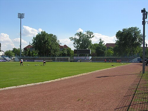 sports venue
Stadion Budai II. Laszló
sports venue
Getting there Nearest stop or station Rákospalota-Újpest, about 13 min on foot OpenStreetMap
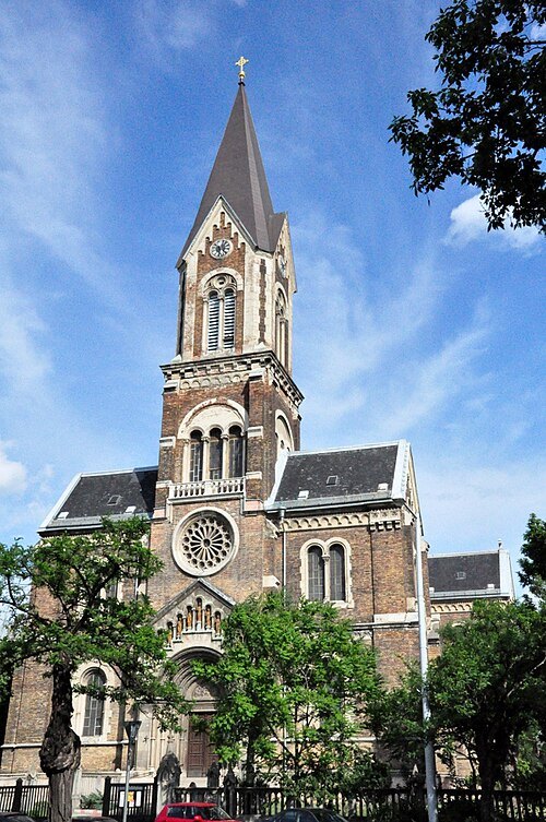 catholic church building
Our Lady of Hungary Church, Rákospalota
church building in Budapest, Hungary
Getting there Nearest stop or station Rákospalota-Újpest, about 10 min on foot OpenStreetMap
- ferris wheel
Budapest Eye
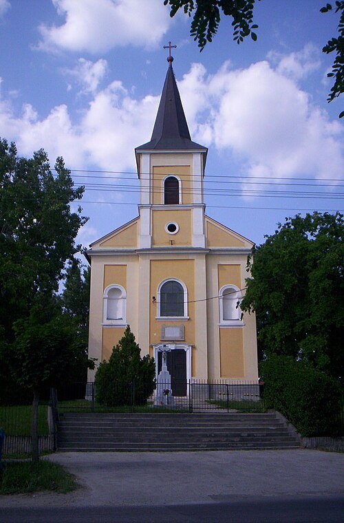 church building
Roman Catholic church, Ecser
church building in Ecser, Hungary
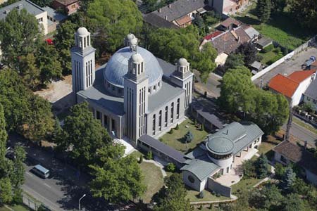 lutheran church
Lutheran Grand Church, Rákospalota
church
Getting there Nearest stop or station Rákospalota-Újpest, about 15 min on foot OpenStreetMap
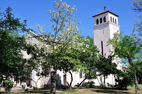 catholic church building
Roman Catholic church in Pestújhely
church
Getting there Nearest stop or station Újpalota, about 6 min on foot OpenStreetMap
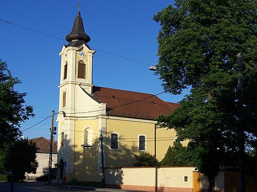 catholic church building
Saint John of Nepomuk church in Rákoscsaba
church
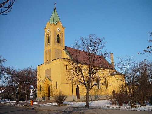 parish church
Our Lady of Hungary Church, Rákosliget
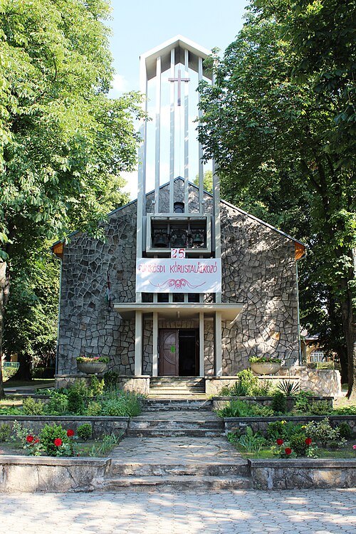 catholic church building
Saint Elisabeth of Hungary church in Rákoscsaba
Getting there Nearest stop or station Rákoscsaba-Újtelep, about 13 min on foot OpenStreetMap
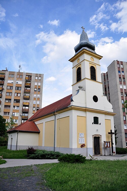 filial church
Holy Trinity church in Rákospalota
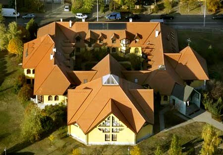
Civertan Grafikai Stúdió / CC BY-SA 3.0
catholic church buildingHoly Trinity Church in Káposztásmegyer
- lutheran church
Lutheran church in Cinkota
Getting there Nearest stop or station Ilonatelep, about 6 min on foot OpenStreetMap
- catholic church building
Roman Catholic Church, Fót
Getting there Nearest stop or station Fótújfalu, about 15 min on foot OpenStreetMap
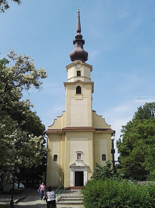 church building
Sacred Heart Church
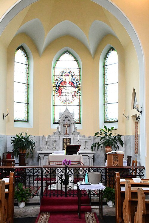
Pasztilla aka Attila Terbócs / CC BY-SA 4.0
catholic church buildingSaint John of Nepomuk chapel in Dunakeszi-Alag
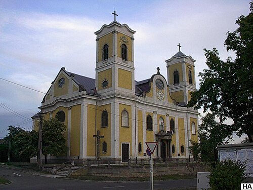 catholic church building
Saint Michael Church
Getting there Nearest stop or station Dunakeszi, about 12 min on foot OpenStreetMap
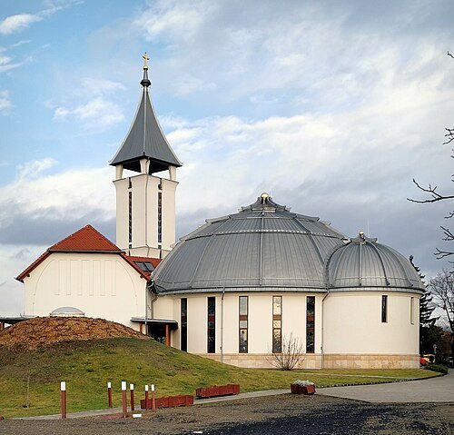 parish church
Holy Spirit Church (Veresegyház)
Getting there Nearest stop or station Erdőkertes, about 16 min on foot OpenStreetMap
- château
Podmaniczky mansion, Verseg-Fenyőharaszt
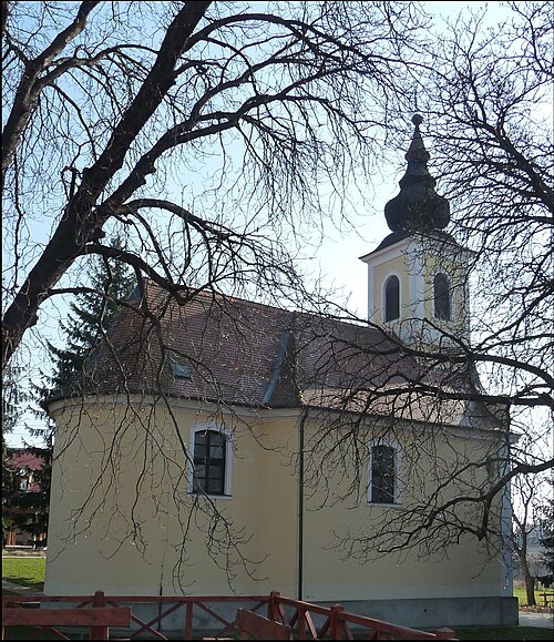
Fügedi Ubul (Pásztörperc at Hungarian Wikipedia) / CC BY-SA 3.0
parish churchHoly Trinity Church, Aszód
church
- château
Podmaniczky Mansion, Aszód
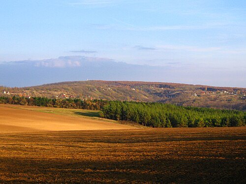 protected area
Gödöllő Hills Protected Landscape Area
protected area
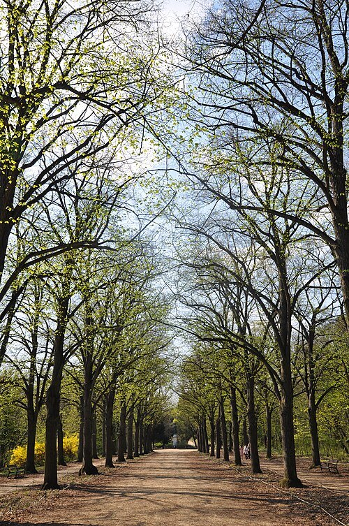 park
Queen Elisabeth Park, Gödöllő
park in Gödöllő, Hungary
Getting there Nearest stop or station Gödöllő, Szabadság tér, about 6 min on foot OpenStreetMap
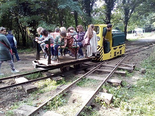 railway museum
Gödöllő Forest Railway
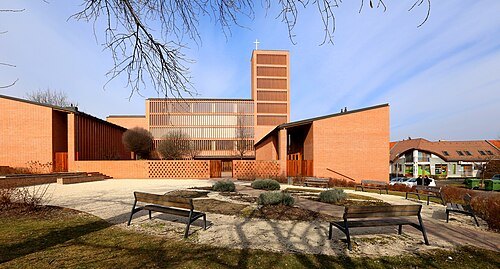 catholic church building
Holy Trinity Church, Gödöllő
church in Gödöllő
Getting there Nearest stop or station Gödöllő, Erzsébet park, about 6 min on foot OpenStreetMap
- cave
Szemlő-hegy Cave


Places to eat
No eating place in this city lists its cuisine and opening hours yet.
Nothing here matches that. Clear a filter and try again.
Opening hours and tickets: OpenStreetMap contributors. Each one shows the day a volunteer last wrote it down, so check the official site before you set out.