Esztergom: what to see and where to eat
Everything below comes from open data and each row says where it came from. We have not been to any of these places and we do not rank them.
Filters
Things to see
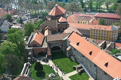 castle ruin
Esztergom Castle
castle in Esztergom, Hungary
Getting there Nearest stop or station Erzsébet park, about 5 min on foot OpenStreetMap
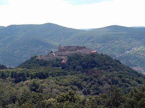 palace
Visegrád Castle
royal castle at Visegrád, Hungary
Getting there Nearest stop or station Visegrád hajóállomás, about 7 min on foot OpenStreetMap
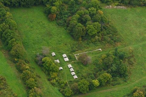 church ruin
Pilis Abbey
 river island
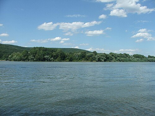
Helemba Island
island in Hungary
 cave
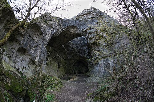
Jankovich Cave
cave in Hungary
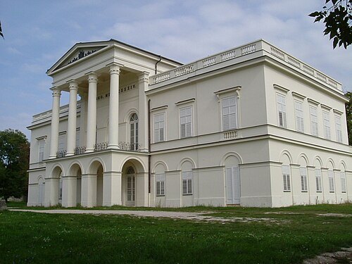
Original uploader was Kaboldy at hu.wikipedia / CC BY-SA 3.0
 observation tower
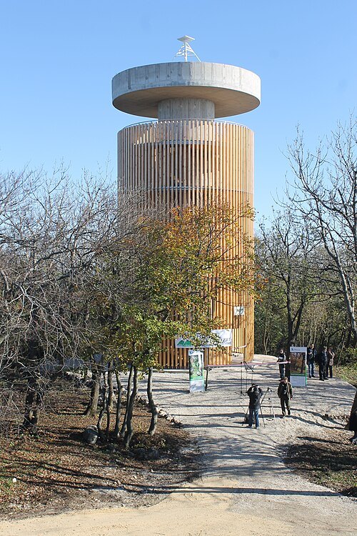
Boldog Özséb Observation Tower
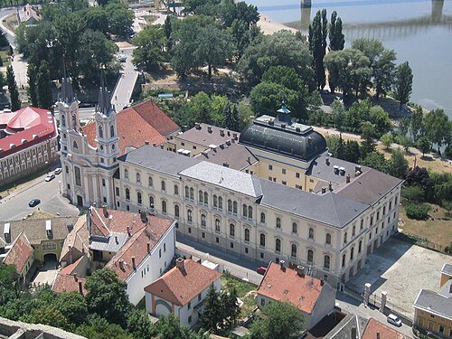 christian museum
Christian Museum
art museum in Esztergom, Hungary
Getting there Nearest stop or station Erzsébet park, about 3 min on foot OpenStreetMap
- catholic church building
Chapel of Saint Thomas Becket in Szenttamás
chapel in Esztergom, Hungary
Getting there Nearest stop or station Erzsébet park, about 10 min on foot OpenStreetMap
 river
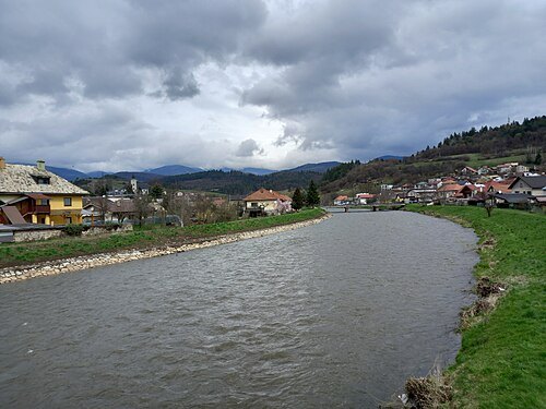
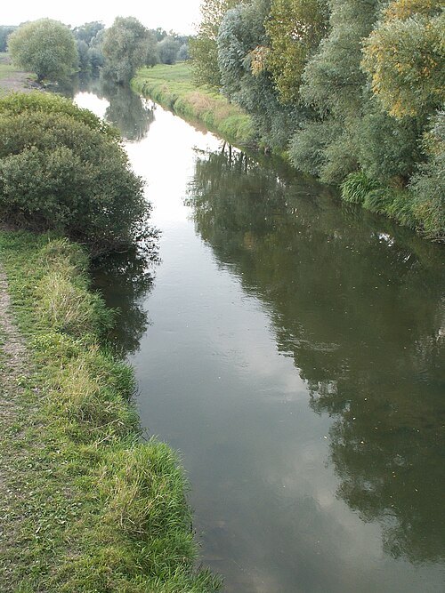
Ipoly
river in Slovakia and Hungary
Getting there Nearest stop or station Szob, about 16 min on foot OpenStreetMap
 international bridge
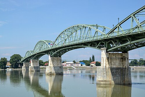
Mária Valéria Bridge
bridge across the Danube
Getting there Nearest stop or station Erzsébet park, about 7 min on foot OpenStreetMap
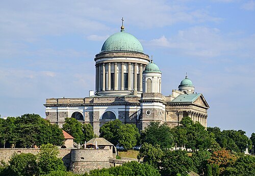 catholic church building
Esztergom Basilica
minor basilica
Getting there Nearest stop or station Erzsébet park, about 4 min on foot OpenStreetMap
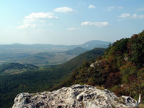
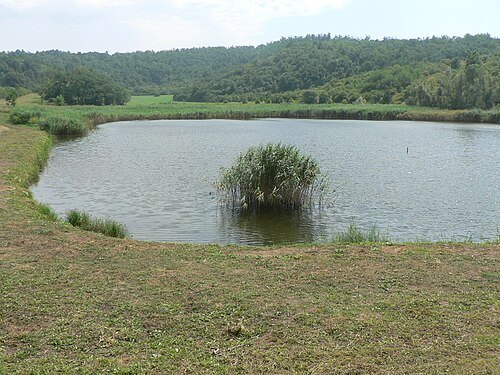
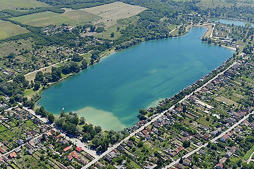 lake
Lake Palatinus
lake in Esztergom, Komárom-Esztergom County, Hungary
Getting there Nearest stop or station Dorog, about 12 min on foot OpenStreetMap
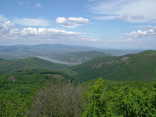
The original uploader was Kaboldy at Hungarian Wikipedia. / CC BY-SA 3.0
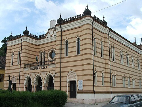 synagogue
Esztergom Synagogue
former synagogue in Esztergom, Hungary
Getting there Nearest stop or station Erzsébet park, about 13 min on foot OpenStreetMap
- parish church
Our Lady of Hungary Basilica
Roman Catholic parish church in Hungary
Getting there Nearest stop or station Márianosztra, about 5 min on foot OpenStreetMap
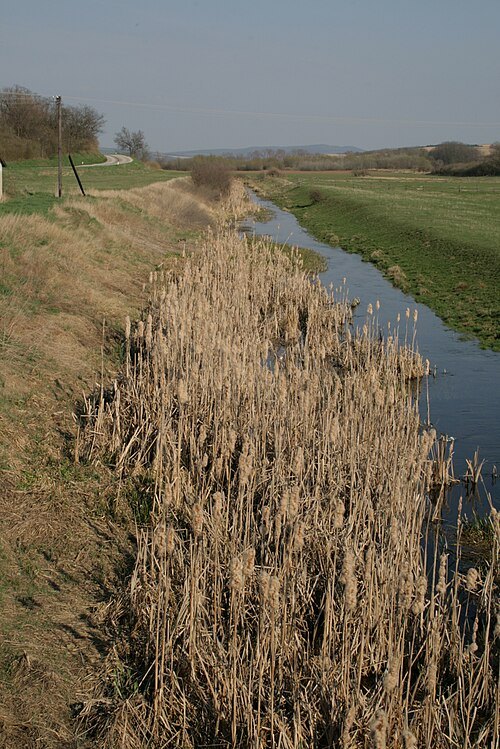 river
Paríž River
river in Slovakia
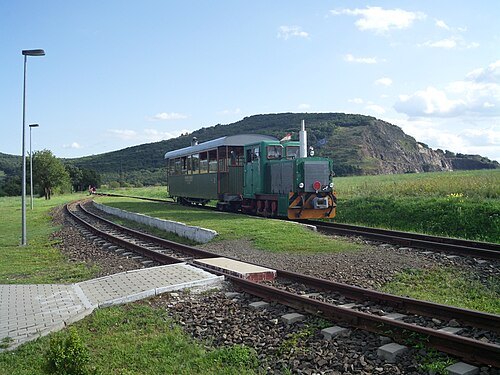
- palace
royal palace of Visegrád
Getting there Nearest stop or station Visegrád hajóállomás, about 6 min on foot OpenStreetMap
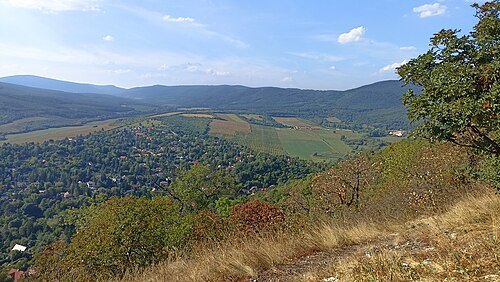
- ancient roman structure
Solva
early name for what is now Esztergom, Hungary
Getting there Nearest stop or station Erzsébet park, about 12 min on foot OpenStreetMap
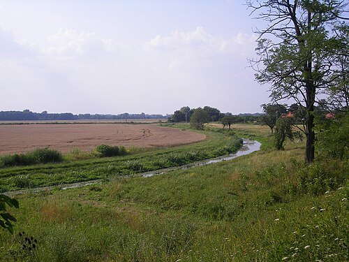 canal
Perec
river in Slovakia
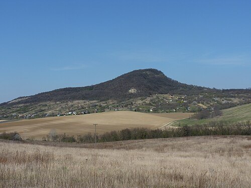 hill
Öreg-kő
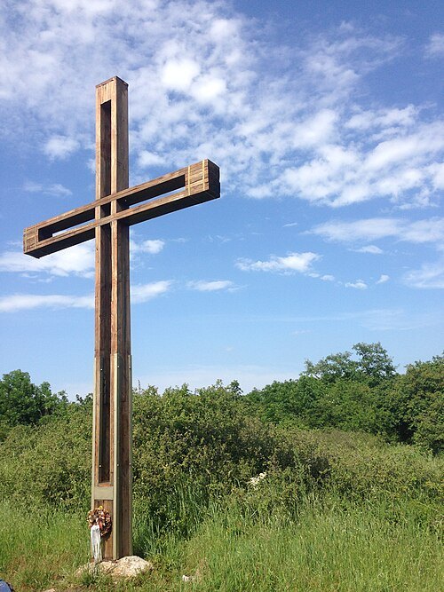 mountain
Nagy-Gete
mountain in Hungary
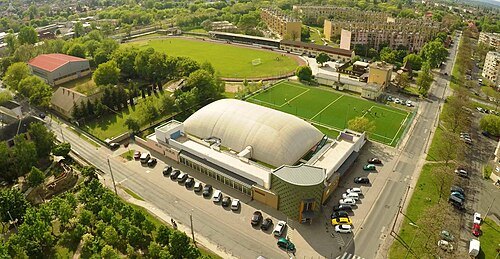
Dorogifc with Krisztian Toth / CC BY-SA 3.0
stadiumBuzánszky Jenő Stadion
Soccer stadium in Hungary
Getting there Nearest stop or station Dorog, about 12 min on foot OpenStreetMap
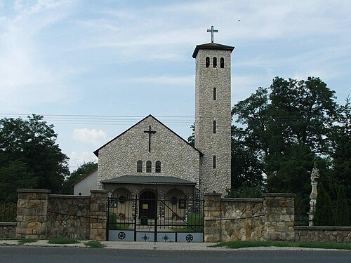 catholic church building
Saint Stephen of Hungary Church in Esztergom-Kertváros
church
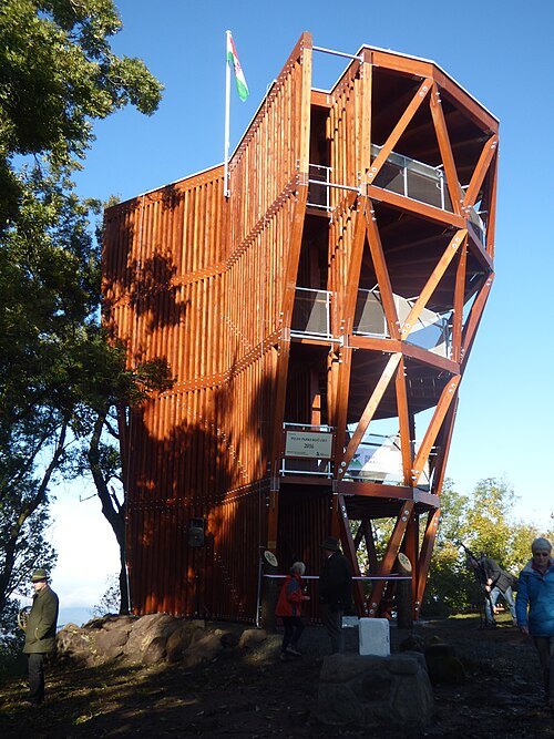 mountain
Prédikálószék
hilltop in Visegrád Mountains
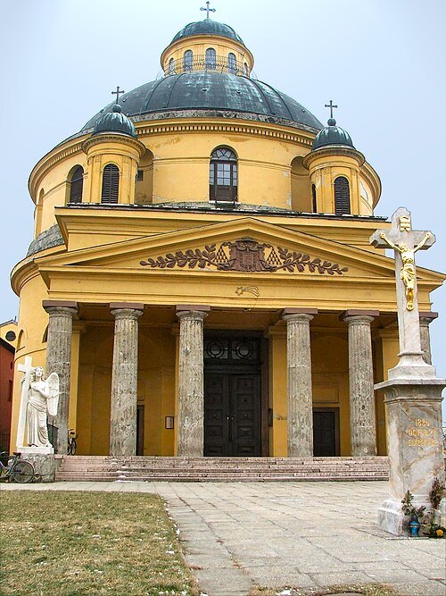 catholic church building
Saint Anne Church
church in Esztergom, Hungary
Getting there Nearest stop or station Esztergom, vasútállomás, about 10 min on foot OpenStreetMap
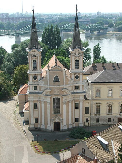
No machine-readable author provided. Villy assumed (based on copyright claims). / Public domain
catholic church buildingSaint Ignatius of Loyola Church, Esztergom-Víziváros
Getting there Nearest stop or station Erzsébet park, about 4 min on foot OpenStreetMap
- river
Ketský potok
river in Slovakia
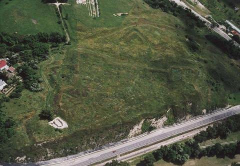 ancient roman structure
Castrum Crumerum
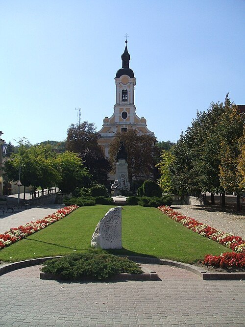
The original uploader was Rovi at Hungarian Wikipedia. / CC BY-SA 3.0
catholic church buildingSaint Joseph church in Dorog
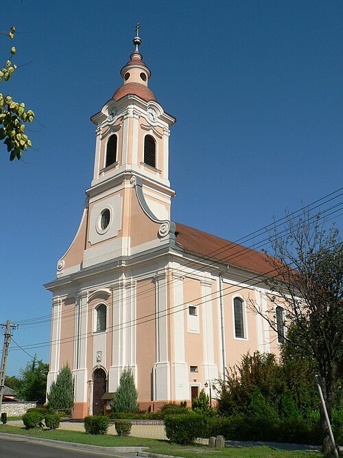 catholic church building
Saint Michael Church in Nyergesújfalu
- hill
Körtvélyes
hill in Komárom-Esztergom County, Hungary, lat 47.68°, long 18.65°
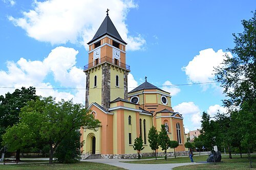 catholic church building
Saint Barbara church in Dorog
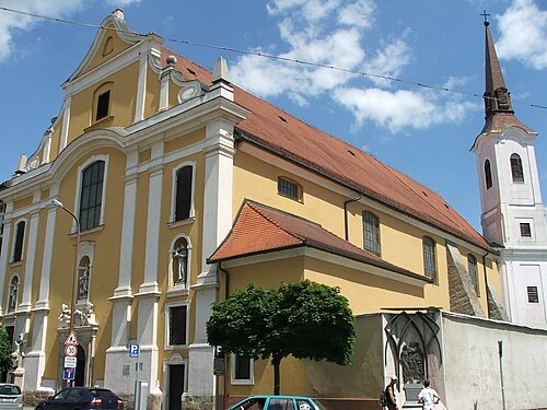
No machine-readable author provided. Villy assumed (based on copyright claims). / Public domain
catholic church buildingInner City Franciscan Church
church building in Esztergom, Hungary
Getting there Nearest stop or station Erzsébet park, about 18 min on foot OpenStreetMap
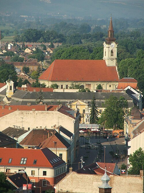 catholic church building
Saints Peter and Paul church in Esztergom
church
Getting there Nearest stop or station Erzsébet park, about 16 min on foot OpenStreetMap
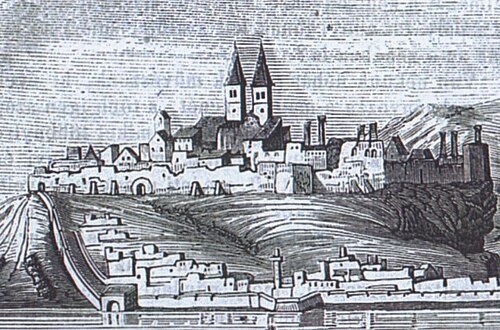
Unknown authorUnknown author / Public domain
minor basilicaMedieval Saint Adalbertus Achcathedral (Esztergom)
demolished cathedral in Esztergom, Hungary
Getting there Nearest stop or station Erzsébet park, about 5 min on foot OpenStreetMap
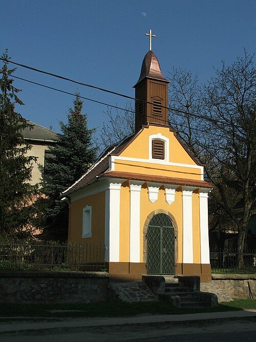 chapel
Saint Rosalia chapel in Esztergom
Getting there Nearest stop or station Esztergom, vasútállomás, about 11 min on foot OpenStreetMap
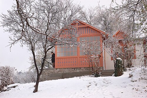 memorial museum
Mihály Babits Museum
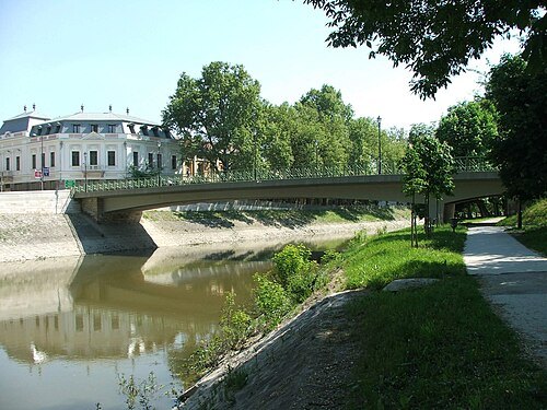
No machine-readable author provided. Villy assumed (based on copyright claims). / Public domain
road bridgeBottyán Bridge
road bridge in Esztergom, Hungary
Getting there Nearest stop or station Erzsébet park, about 11 min on foot OpenStreetMap
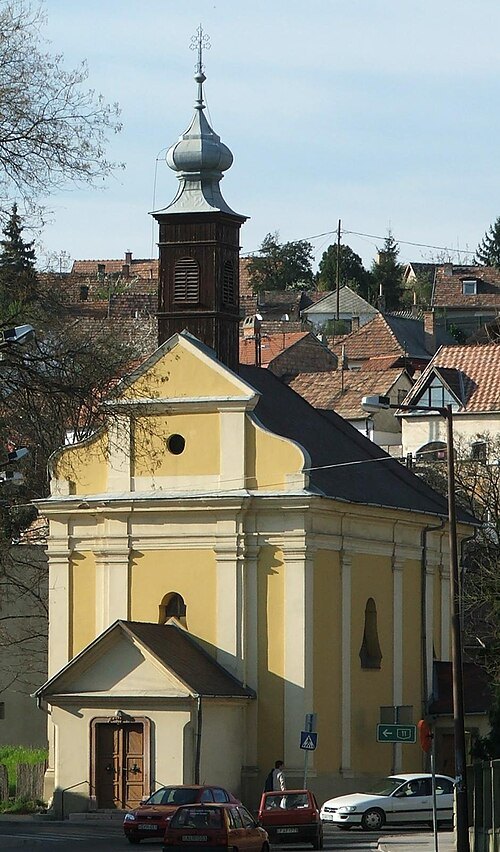 chapel
Saint Stephen chapel
chapel in Esztergom, Hungary
Getting there Nearest stop or station Erzsébet park, about 14 min on foot OpenStreetMap
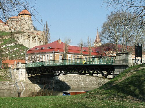 road bridge
Kossuth Bridge
bridge in Esztergom, Hungary
Getting there Nearest stop or station Erzsébet park, about 5 min on foot OpenStreetMap
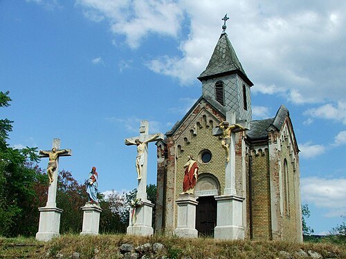 chapel
Calvary chapel in Esztergom
Getting there Nearest stop or station Esztergom, vasútállomás, about 16 min on foot OpenStreetMap
- palace
Primate's Palace, Esztergom-Víziváros
palace in Esztergom, Hungary
Getting there Nearest stop or station Erzsébet park, about 4 min on foot OpenStreetMap
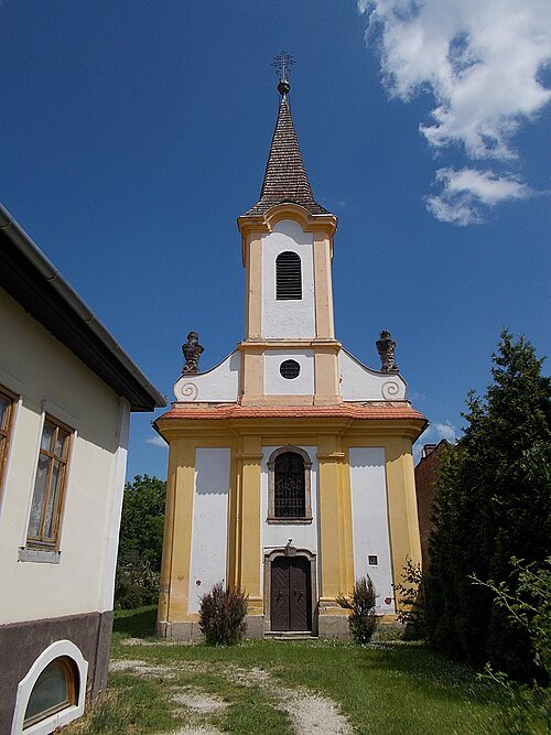 catholic church building
Saint Michael church in Esztergom
Getting there Nearest stop or station Esztergom, vasútállomás, about 15 min on foot OpenStreetMap
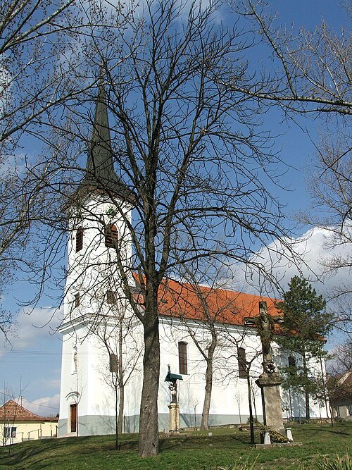 catholic church building
Saint George Church (Szentgyörgymező)
church
Getting there Nearest stop or station Erzsébet park, about 12 min on foot OpenStreetMap
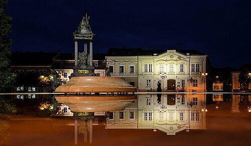 square
Széchenyi square, Esztergom
public square of Esztergom, Hungary
Getting there Nearest stop or station Erzsébet park, about 15 min on foot OpenStreetMap
- valley
Búbánatvölgy
valley in Esztergom, Hungary
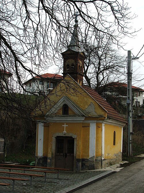 catholic church building
Saint John the Baptist chapel in Esztergom
- hill
Sípoló-hegy
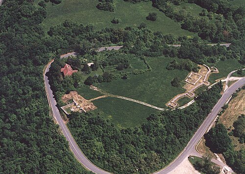 ancient roman structure
Castra Ponte Navata
Roman fort
Getting there Nearest stop or station Visegrád hajóállomás, about 7 min on foot OpenStreetMap
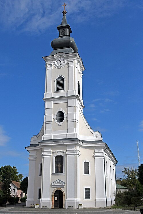
Pasztilla aka Attila Terbócs / CC BY-SA 4.0
catholic church buildingRoman Catholic Church in Szob
church
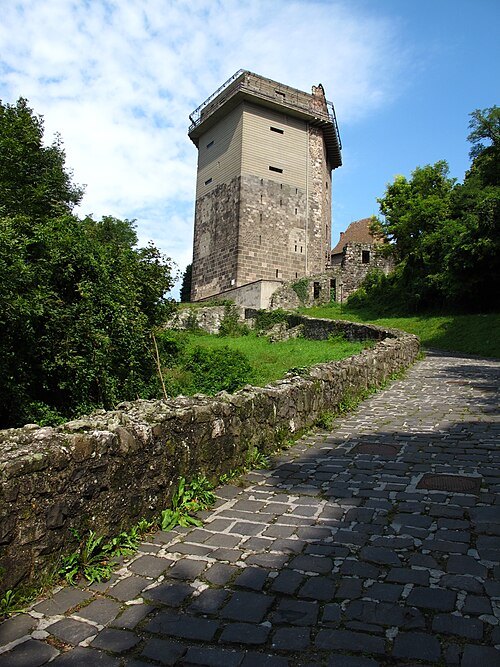 museum
Solomon Tower, Visegrád
Getting there Nearest stop or station Visegrád hajóállomás, about 2 min on foot OpenStreetMap
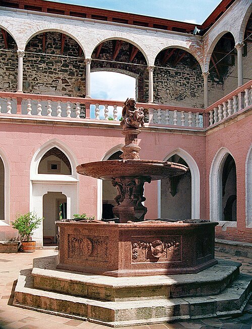 fountain
Hercules Fountain in Visegrád
Getting there Nearest stop or station Visegrád hajóállomás, about 6 min on foot OpenStreetMap
- catholic church building
Saint Stephen of Hungary Church
church in Nagybörzsöny, Hungary


Places to eat
- restaurant
Gatto Rosso Pizzeria & Cafe
Food: italian
Nothing here matches that. Clear a filter and try again.
Opening hours and tickets: OpenStreetMap contributors. Each one shows the day a volunteer last wrote it down, so check the official site before you set out.