Panajachel: what to see and where to eat

Everything below comes from open data and each row says where it came from. We have not been to any of these places and we do not rank them.

16,101 people live here

Distances are straight-line and the walking time is an estimate, not a route.

Filters

Things to see

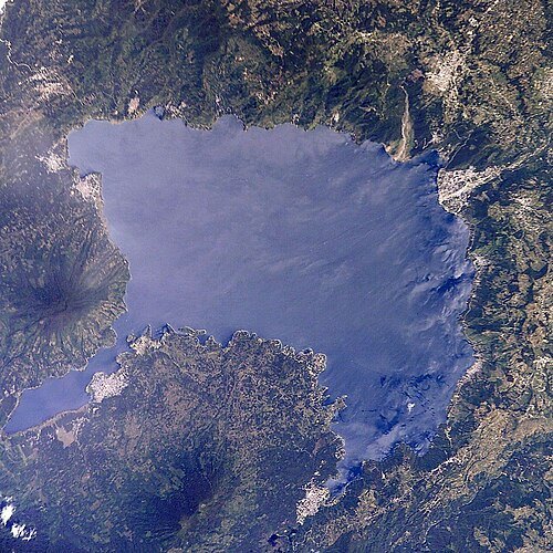
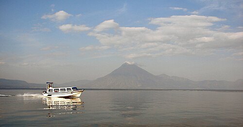
  • Lago de Atitlán

    NASA / Public domain

    volcanic crater lake

    Lago de Atitlán

    crater lake in the Western Highlands of Guatemala

    Opening hours Not checked

    Admission Not checked

    Map

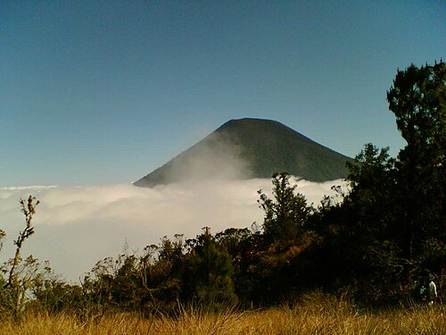
  • Volcán Atitlán

    Sergio Ovalle / CC BY-SA 2.5

    mountain

    Volcán Atitlán

    mountain

    Opening hours Not checked

    Admission Not checked

    About 17 km from the city centre

    Map

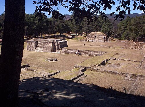
  • Iximche

    Colocho / Public domain

    archaeological site

    Iximche

    human settlement

    Opening hours Not checked

    Admission Not checked

    About 17 km from the city centre

    Map

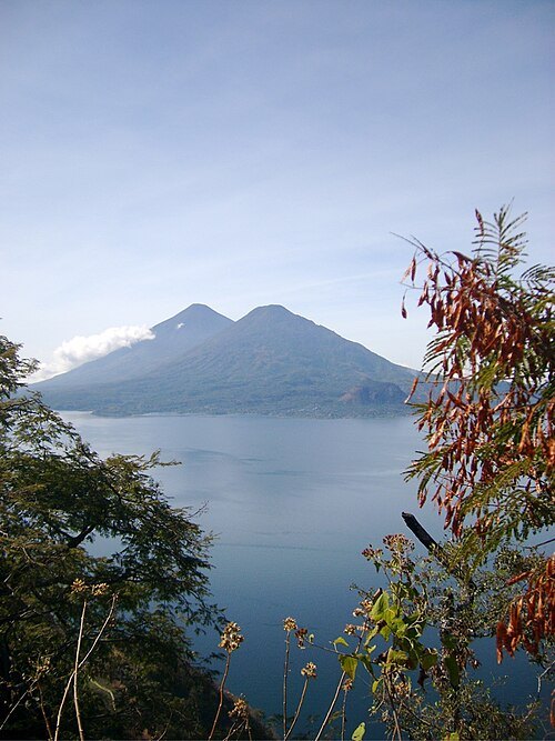
  • Volcán Tolimán

    gringologue from Antigua, Guatemala / CC BY-SA 2.0

    volcano

    Volcán Tolimán

    mountain in Sololá, Guatemala

    Opening hours Not checked

    Admission Not checked

    About 14 km from the city centre

    Map

  • Volcán San Pedro

    Uspn / CC BY-SA 3.0

    volcano

    Volcán San Pedro

    volcano in Guatemala

    Opening hours Not checked

    Admission Not checked

    About 15 km from the city centre

    Map

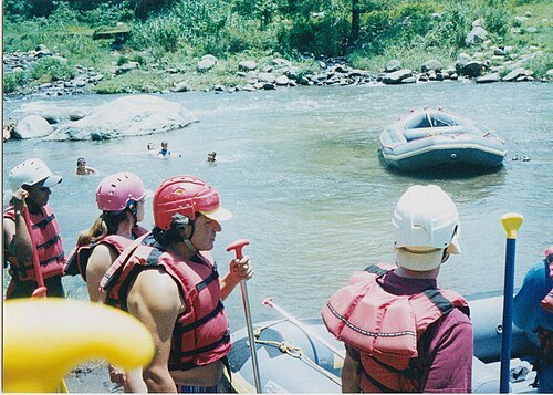
  • Nahualate River

    Ken Mayer. Guatemala. / CC BY 2.0

    river

    Nahualate River

    river in Guatemala

    Opening hours Not checked

    Admission Not checked

    About 87 km from the city centre

    Map

  • island

    Isla de Los Gatos

    Opening hours Not checked

    Admission Not checked

    Getting there Nearest stop or station Santiago Atitlán Dock, about 12 min on foot OpenStreetMap

    About 13 km from the city centre

    Map

  • river

    Tzalá River

    river in Guatemala

    Opening hours Not checked

    Admission Not checked

    Getting there Nearest stop or station Dock, about 7 min on foot OpenStreetMap

    Map

  • seasonal river

    Quebrada Tzentzec

    Opening hours Not checked

    Admission Not checked

    About 20 km from the city centre

    Map

  • mountain

    Cerro Mucubaltzib

    mountain in Guatemala

    Opening hours Not checked

    Admission Not checked

    About 18 km from the city centre

    Map

  • mountain

    Cerro Tzampual

    mountain in Guatemala

    Opening hours Not checked

    Admission Not checked

    About 17 km from the city centre

    Map

  • mountain

    Cerro Tzancuil

    mountain in Guatemala

    Opening hours Not checked

    Admission Not checked

    Getting there Nearest stop or station Tzununa Dock, about 14 min on foot OpenStreetMap

    About 10 km from the city centre

    Map

  • island

    Isla Tzilinabaj

    island in Sololá Department, Guatemala

    Opening hours Not checked

    Admission Not checked

    About 8 km from the city centre

    Map

  • mountain

    Cerro Tamalaj

    mountain in Guatemala

    Opening hours Not checked

    Admission Not checked

    About 17 km from the city centre

    Map

  • island group

    Islas Pachitulul

    Opening hours Not checked

    Admission Not checked

    About 10 km from the city centre

    Map

  • island

    Isla Pajaibal

    island in Sololá Department, Guatemala

    Opening hours Not checked

    Admission Not checked

    About 10 km from the city centre

    Map

  • mountain

    Cerro Chicul

    mountain in Guatemala

    Opening hours Not checked

    Admission Not checked

    About 16 km from the city centre

    Map

  • mountain

    Cerro Chuichich

    mountain in Guatemala

    Opening hours Not checked

    Admission Not checked

    About 16 km from the city centre

    Map

  • mountain

    Cerro Chuichimuch

    mountain in Guatemala

    Opening hours Not checked

    Admission Not checked

    About 9 km from the city centre

    Map

  • mountain

    Cerro Chuichumil

    mountain in Guatemala

    Opening hours Not checked

    Admission Not checked

    About 17 km from the city centre

    Map

  • mountain

    Cerro Chuicinivit

    mountain in Guatemala

    Opening hours Not checked

    Admission Not checked

    Getting there Nearest stop or station Santiago Atitlán Dock, about 12 min on foot OpenStreetMap

    About 13 km from the city centre

    Map

  • mountain

    Cerro El Cristalino

    mountain in Guatemala

    Opening hours Not checked

    Admission Not checked

    Getting there Nearest stop or station Transport to towns Panyebar y Pasajqim, about 15 min on foot OpenStreetMap
    About 16 km from the city centre

    Map

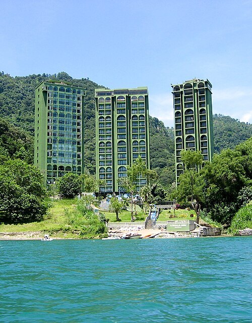
  • Riviera de Atitlan

    Elcatracho100 / CC BY-SA 4.0

    tower block

    Riviera de Atitlan

    High-rise in Guatemala

    Opening hours Not checked

    Admission Not checked

    Getting there Nearest stop or station Bus to Sololá, about 15 min on foot OpenStreetMap

    Map

  • seasonal river

    Quebrada Xelamac

    Opening hours Not checked

    Admission Not checked

    About 15 km from the city centre

    Map

Places to eat

  • restaurant

    PanaDely Food traditional

    Food: american, argentinian, asian, barbecue, beef bowl, breakfast, burger

    24/7

    Map

  • restaurant

    The Little Spoon

    Food: breakfast, cake, coffee shop, international, local, seafood

    08:00-21:00

    Map

  • restaurant

    Hana

    Food: japanese

    Mo-Su 10:00-22:00

    Panajachel

    Map

  • restaurant

    Valentino's Pizza & Steak House

    Food: pizza

    07:00-22:00

    Panajachel

    Map

Opening hours and tickets: OpenStreetMap contributors. Each one shows the day a volunteer last wrote it down, so check the official site before you set out.

Nothing picked yet
    Add a place that is not listed here

    One per line. Pasting a list works too.

    Guatemala