Melchor de Mencos: what to see and where to eat

Everything below comes from open data and each row says where it came from. We have not been to any of these places and we do not rank them.

30,682 people live here

Nearest airport: Maya Flats Airpark (CYD), about 6.68 km from the centre

Distances are straight-line and the walking time is an estimate, not a route.

Filters

Things to see

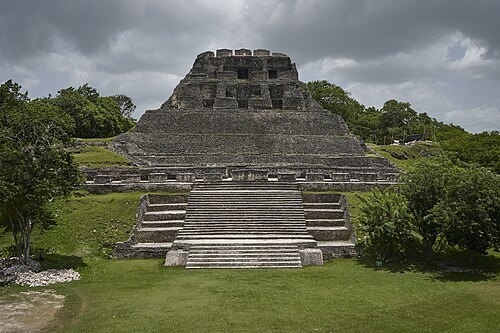
  • Xunantunich

    Denis Barthel / CC BY-SA 4.0

    archaeological site

    Xunantunich

    Ancient Maya archaeological site in western Belize

    Opening hours Not checked

    Admission Not checked

    Map

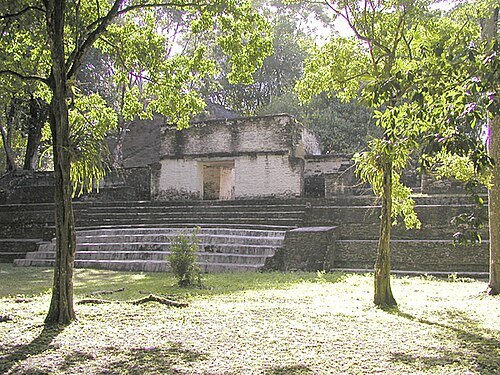
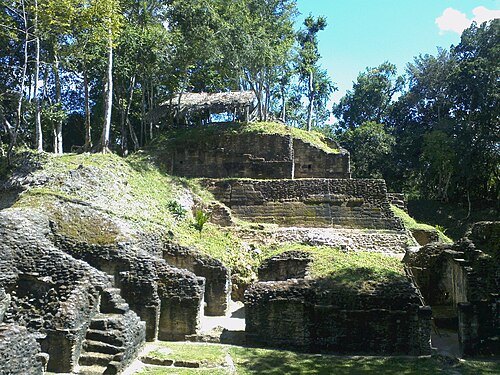
  • Cahal Pech

    The original uploader was Aquaimages at English Wikipedia. / CC BY-SA 2.5

    archaeological site

    Cahal Pech

    Maya archaeological site in western Belize

    Mo-Su 08:00-17:00 OpenStreetMap, written 2023-12-22

    Admission Not checked

    Getting there Nearest stop or station Bus Station, about 15 min on foot OpenStreetMap
    About 14 km from the city centre

    Map

  • Naranjo

    Rudy Canales / CC BY-SA 3.0

    archaeological site

    Naranjo

    archaeological site in Petén Department, Guatemala

    Opening hours Not checked

    Admission Not checked

    About 14 km from the city centre

    Map

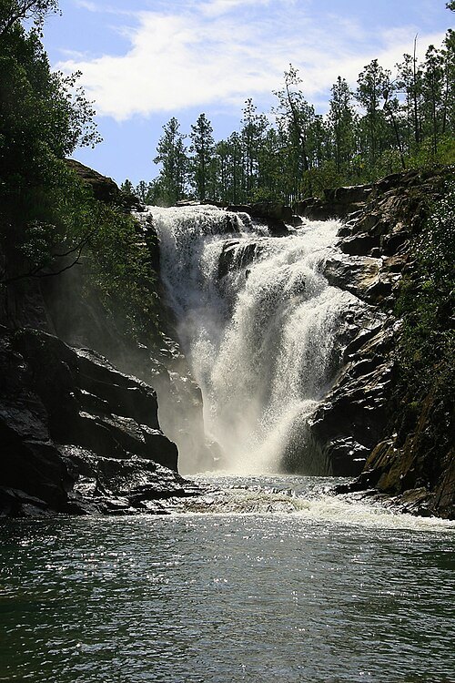
  • Big Rock Falls

    Michael Lazarev (Asmadeus) / CC BY-SA 2.0

    waterfall

    Big Rock Falls

    waterfall in Belize

    Opening hours Not checked

    Admission Not checked

    About 18 km from the city centre

    Map

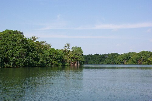
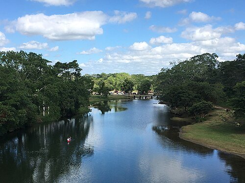
  • Belize River

    1000Faces at en.wikipedia / Public domain

    river

    Belize River

    river in Belize

    Opening hours Not checked

    Admission Not checked

    Getting there Nearest stop or station Humes Bus Service, about 14 min on foot OpenStreetMap
    About 14 km from the city centre

    Map

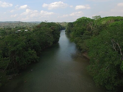
  • Macal River

    Kaldari / CC0

    river

    Macal River

    river in Belize

    Opening hours Not checked

    Admission Not checked

    Getting there Nearest stop or station Humes Bus Service, about 15 min on foot OpenStreetMap
    About 14 km from the city centre

    Map

  • Mopan River

    Benedict Kim, Esoteric Vision Photography / CC BY 4.0

    river

    Mopan River

    river in Guatemala and Belize

    Opening hours Not checked

    Admission Not checked

    About 13 km from the city centre

    Map

  • botanical garden

    Belize Botanic Gardens

    botanical garden in Belize

    Opening hours Not checked

    Admission Not checked

    About 9 km from the city centre

    Map

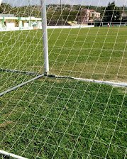
  • Norman Broaster Stadium

    Belize72 / CC BY-SA 4.0

    stadium

    Norman Broaster Stadium

    stadium in San Ignacio, Belize

    Opening hours Not checked

    Admission Not checked

    Getting there Nearest stop or station Bus Station, about 2 min on foot OpenStreetMap

    About 13 km from the city centre

    Map

  • archaeological site

    Pacbitun

    Maya archaeological site

    Opening hours Not checked

    Admission Not checked

    About 17 km from the city centre

    Map

  • stadium

    Marshalleck Stadium

    football stadium located in Belize

    Opening hours Not checked

    Admission Not checked

    Getting there Nearest stop or station Benque Bus Terminal, about 9 min on foot OpenStreetMap

    Map

  • river

    Rio Frio, Belize

    river in Belize

    Opening hours Not checked

    Admission Not checked

    About 14 km from the city centre

    Map

  • river

    Chiquibul Branch

    river in Guatemala

    Opening hours Not checked

    Admission Not checked

    About 13 km from the city centre

    Map

  • river

    Billy White Creek

    river in Belize
    Opening hours Not checked

    Admission Not checked

    About 19 km from the city centre

    Map

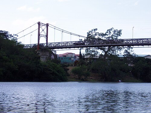
  • Hawkesworth Bridge

    DavidLey / Public domain

    bridge

    Hawkesworth Bridge

    bridge in Belize

    Opening hours Not checked

    Admission Not checked

    Getting there Nearest stop or station Bus Station, about 4 min on foot OpenStreetMap
    About 13 km from the city centre

    Map

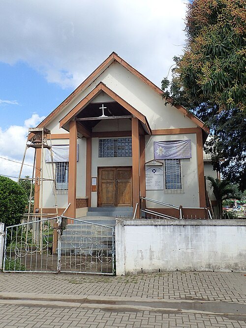
  • St. Andrew's Anglican Church

    Kaldari / CC0

    church building

    St. Andrew's Anglican Church

    Anglican church in San Ignacio, Belize

    Opening hours Not checked

    Admission Not checked

    Getting there Nearest stop or station Bus Station, about 2 min on foot OpenStreetMap

    About 13 km from the city centre

    Map

  • river

    Mollejon Creek

    river in Belize

    Opening hours Not checked

    Admission Not checked

    About 17 km from the city centre

    Map

  • river

    Rio On

    river in Belize

    Opening hours Not checked

    Admission Not checked

    About 14 km from the city centre

    Map

  • river

    Privassion Creek

    river in Belize

    Opening hours Not checked

    Admission Not checked

    About 15 km from the city centre

    Map

  • archaeological site

    Actuncan

    Maya site in western Belize

    Opening hours Not checked

    Admission Not checked

    Map

  • national park

    Elijio Panti National Park

    national park in Belize

    Opening hours Not checked

    Admission Not checked

    About 11 km from the city centre

    Map

  • waterfall

    Raudales de Garbutt

    Opening hours Not checked

    Admission Not checked

    Getting there Nearest stop or station Colectivo a Flores, about 6 min on foot OpenStreetMap

    Map

Places to eat

  • restaurant

    Tracy's Restaurant

    Food: chinese

    Mo-Su 010:00-22:00

    Benque Viejo del Carmen

    Map

Opening hours and tickets: OpenStreetMap contributors. Each one shows the day a volunteer last wrote it down, so check the official site before you set out.

Nothing picked yet
    Add a place that is not listed here

    One per line. Pasting a list works too.

    Guatemala