Tripoli: what to see and where to eat
Everything below comes from open data and each row says where it came from. We have not been to any of these places and we do not rank them.
Filters
Things to see
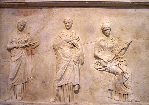
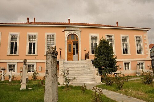
Apostolos Papageorgiou / CC BY-SA 3.0
archaeological museumArchaeological museum of Tripoli
museum in Greece
Getting there Nearest stop or station KTEL - Bus Station Terminal of Arkadia, about 16 min on foot OpenStreetMap
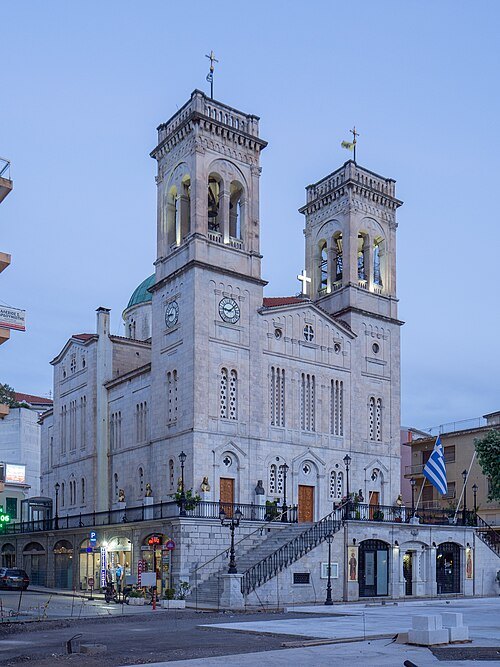 eastern orthodox cathedral
Saint Basil Cathedral (Tripoli)
Orthodox cathedral in Tripoli Municipality, Greece
Getting there Nearest stop or station KTEL - Bus Station Terminal of Arkadia, about 18 min on foot OpenStreetMap
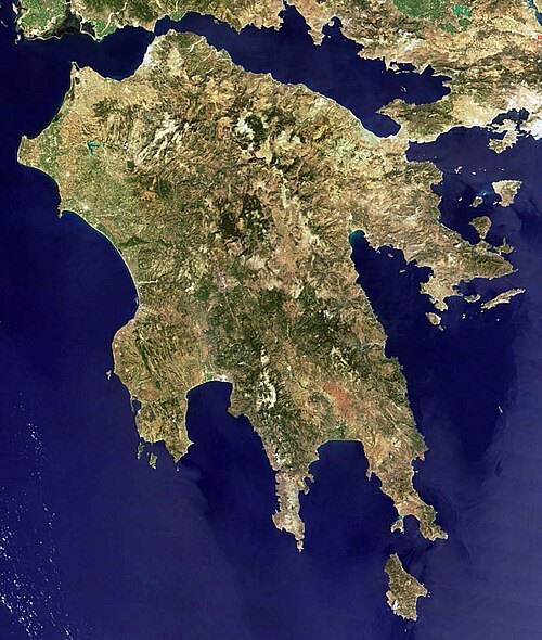
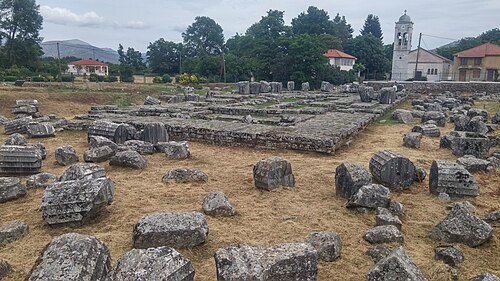
- peninsula
Morea
name of the Peloponnese peninsula in southern Greece during the Middle Ages and the early modern period
Apostolos Papageorgiou / CC BY-SA 3.0
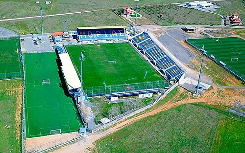
stadiumTheodoros Kolokotronis Stadium
stadium in Tripoli, Peloponnese Region, Greece
Getting there Nearest stop or station KTEL - Bus Station Terminal of Arkadia, about 10 min on foot OpenStreetMap
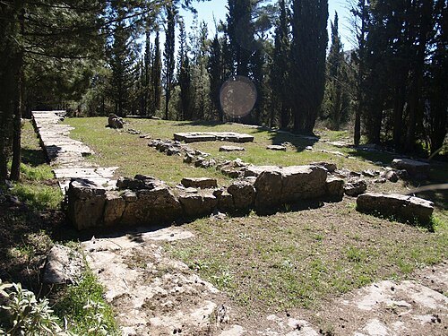
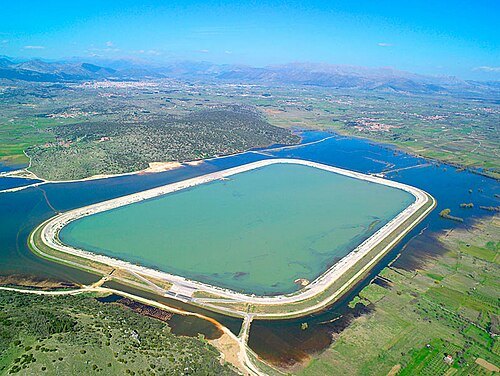
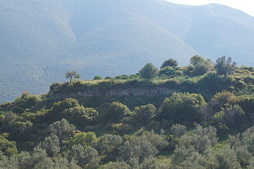
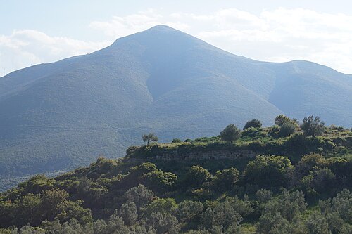
- mountain
Artemisio
mountain in Peloponnese Region, Greece
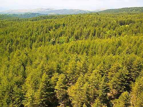
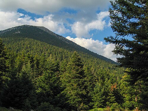
- mountain
Ktenias
mountain of Peloponnese, Greece
- river
Helisson
river of Arcadia, Greece, flowing near Megalopolis
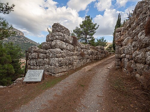
- mountain
Mainalion
ancient mountain of Arcadia, possibly modern Profitis Ilias or Rezenikos above Asea


Places to eat
No eating place in this city lists its cuisine and opening hours yet.
Nothing here matches that. Clear a filter and try again.
Opening hours and tickets: OpenStreetMap contributors. Each one shows the day a volunteer last wrote it down, so check the official site before you set out.