Wiesbaden: what to see and where to eat
Everything below comes from open data and each row says where it came from. We have not been to any of these places and we do not rank them.
Filters
Things to see
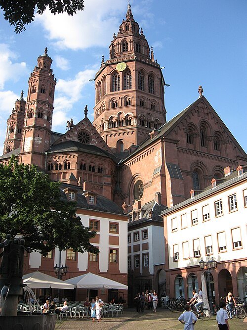 catholic cathedral
Mainz Cathedral
cathedral in Germany
Getting there Nearest stop or station Mainz Römisches Theater, about 11 min on foot OpenStreetMap
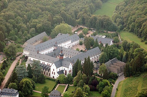
- water-powered funicular railway
Nerobergbahn
funicular railway in the city of Wiesbaden, Germany
Getting there Nearest stop or station Nerotal, about 1 min on foot OpenStreetMap
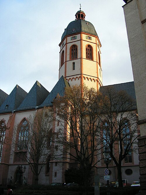 parish church
St. Stephen's Church
church in Mainz
Getting there Nearest stop or station Mainz Römisches Theater, about 11 min on foot OpenStreetMap
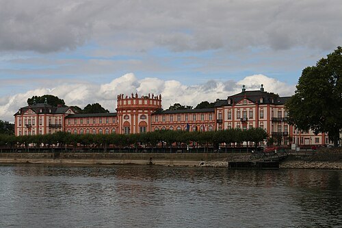 royal palace
Biebrich Palace
Baroque residence in Hesse, Germany built in 1702
Getting there Nearest stop or station Biebrich (Schloss), about 2 min on foot OpenStreetMap
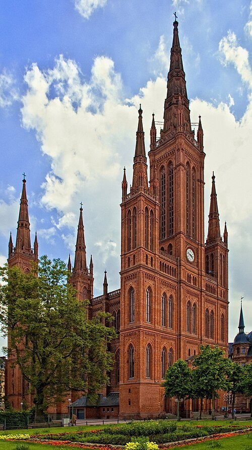
asspixx.de selbst fotografiert und bearbeitet, nachbearbeitet Regi51 / CC BY-SA 2.0
church buildingMarktkirche
church building in Wiesbaden, Hesse, Germany
Getting there Nearest stop or station Dernsches Gelände, about 3 min on foot OpenStreetMap
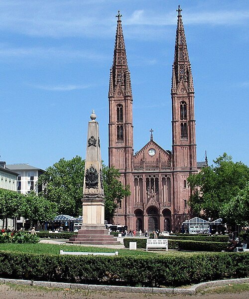 church building
St. Bonifatius
church building in Wiesbaden, Hesse, Germany
Getting there Nearest stop or station Dernsches Gelände, about 4 min on foot OpenStreetMap
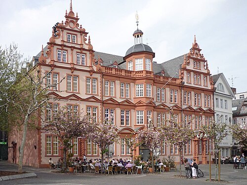 museum
Gutenberg Museum
museum in Mainz, Germany
Getting there Nearest stop or station Hauptbahnhof, about 13 min on foot OpenStreetMap
- ancient roman structure
Roman theater at Mainz
Roman theater
Getting there Nearest stop or station Mainz Römisches Theater, about 1 min on foot OpenStreetMap
- opera house
Hessisches Staatstheater Wiesbaden
theatre and opera house in Wiesbaden, Germany
Getting there Nearest stop or station Dernsches Gelände, about 6 min on foot OpenStreetMap
- church building
Protestant Christ Church, Mainz
church building in Mainz, Germany
Getting there Nearest stop or station Hauptbahnhof, about 12 min on foot OpenStreetMap
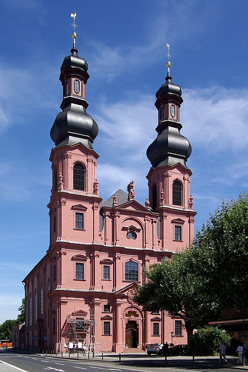
Berthold Werner / CC BY-SA 3.0
church buildingSt. Peter's Church
most important rococo building in Mainz
Getting there Nearest stop or station Hauptbahnhof, about 13 min on foot OpenStreetMap
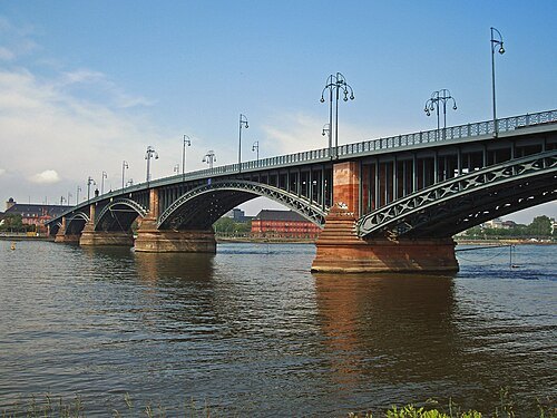 road bridge
Theodor Heuss Bridge
bridge between Mainz and Wiesbaden
Getting there Nearest stop or station Kastel/Brückenkopf, about 5 min on foot OpenStreetMap
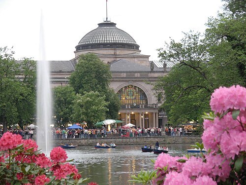 park
Kurpark
park in Wiesbaden, Germany
Getting there Nearest stop or station Dernsches Gelände, about 12 min on foot OpenStreetMap
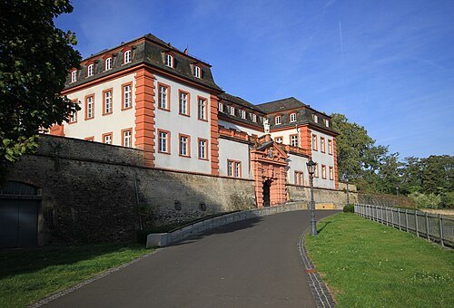
User:Matthias Süßen / CC BY-SA 3.0
citadelMainz Citadel
was built in its present form around 1660 and was the important part of the Fortress of Mainz
Getting there Nearest stop or station Mainz Römisches Theater, about 5 min on foot OpenStreetMap
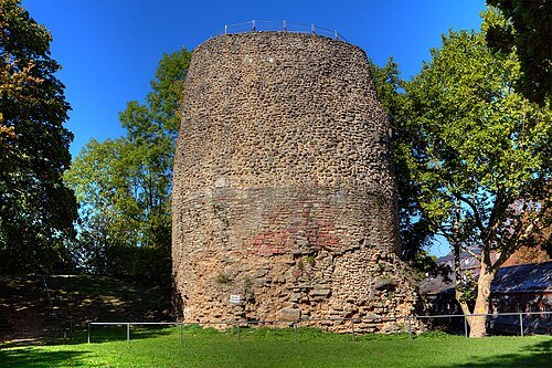 archaeological site
Drususstein
an ancient marble building in Germany
Getting there Nearest stop or station Mainz Römisches Theater, about 5 min on foot OpenStreetMap
- palace
Electoral Palace
Palace in Mainz, Germany
Getting there Nearest stop or station Kastel/Brückenkopf, about 11 min on foot OpenStreetMap
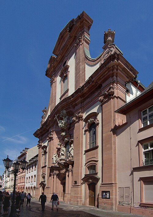
Berthold Werner / CC BY-SA 3.0
church buildingSt. Augustine's church (Mainz)
church in Germany
Getting there Nearest stop or station Mainz Römisches Theater, about 8 min on foot OpenStreetMap
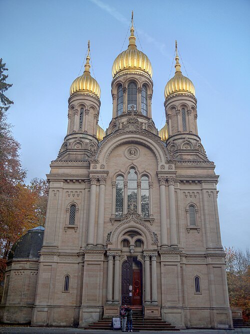 church building
St. Elizabeth's Church Wiesbaden
Russian Orthodox church
Getting there Nearest stop or station Neroberg, about 6 min on foot OpenStreetMap
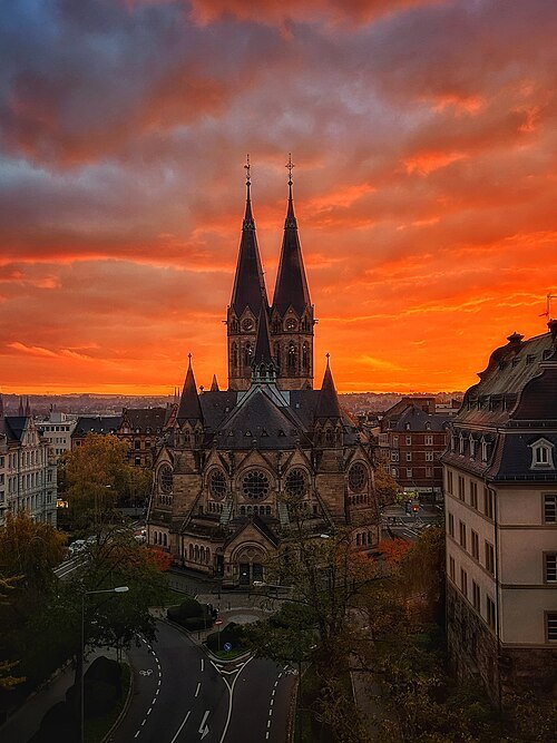 church building
Ringkirche
church building in Wiesbaden, Germany
Getting there Nearest stop or station Dernsches Gelände, about 16 min on foot OpenStreetMap
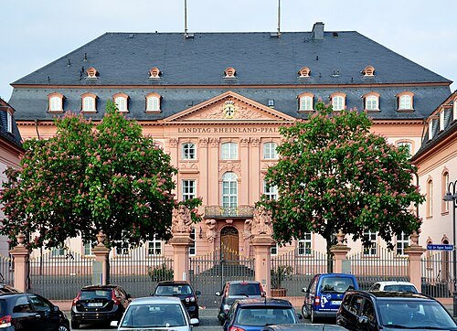
Photo: Andreas Praefcke / CC BY 4.0
parliament buildingDeutschhaus Mainz
historical building in Mainz, Germany
Getting there Nearest stop or station Kastel/Brückenkopf, about 11 min on foot OpenStreetMap
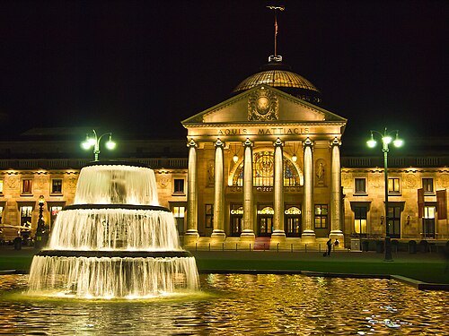 concert hall
Kurhaus Wiesbaden
building in Wiesbaden
Getting there Nearest stop or station Dernsches Gelände, about 9 min on foot OpenStreetMap
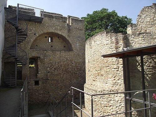 museum
Imperial Palace Ingelheim
an important Imperial Palace erected in the second half of the 8th century in Germany
Getting there Nearest stop or station Ingelheim, Bahnhof, about 19 min on foot OpenStreetMap
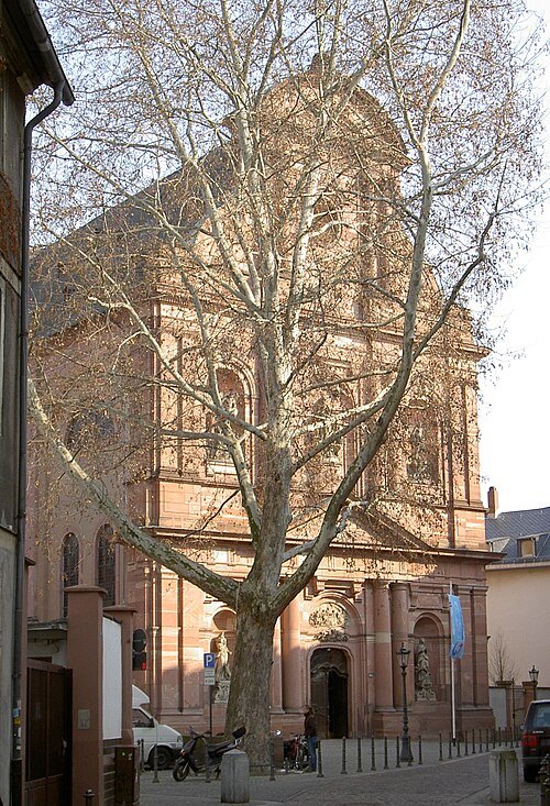
The original uploader was Falense at German Wikipedia. / CC BY-SA 3.0
church buildingCatholic St. Ignaz' Church, Mainz
church building in Rhineland-Palatinate, Germany
Getting there Nearest stop or station Mainz Römisches Theater, about 4 min on foot OpenStreetMap
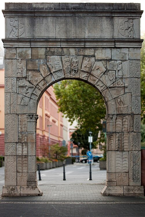 triumphal arch
Arch of Dativius Victor
triumphal arch in Mainz, Germany
Getting there Nearest stop or station Kastel/Brückenkopf, about 12 min on foot OpenStreetMap
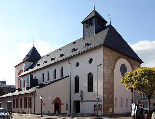 church building
St. John' Church, Mainz
church building in Rhineland-Palatinate, Germany
Getting there Nearest stop or station Mainz Römisches Theater, about 11 min on foot OpenStreetMap
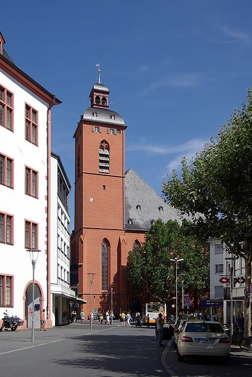
Berthold Werner / CC BY-SA 3.0
parish churchCatholic St. Quentin's Church, Mainz
church in Rhineland-Palatinate, Germany
Getting there Nearest stop or station Hauptbahnhof, about 14 min on foot OpenStreetMap
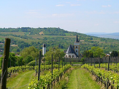 church building
Protestant Castle Church, Ingelheim
church in Rhineland-Palatinate, Germany
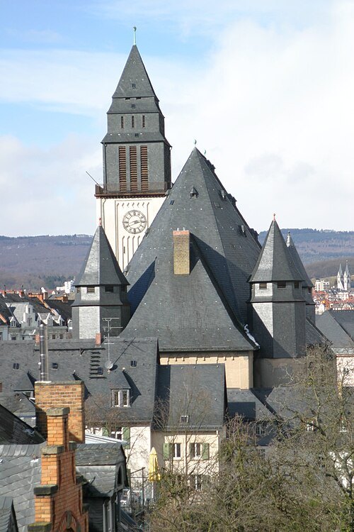 church building
Luther Church
Protestant church in Wiesbaden
Getting there Nearest stop or station Wiesbaden Hauptbahnhof, about 7 min on foot OpenStreetMap
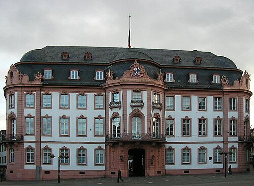 city palace
Osteiner Hof
palace
Getting there Nearest stop or station Hauptbahnhof, about 12 min on foot OpenStreetMap
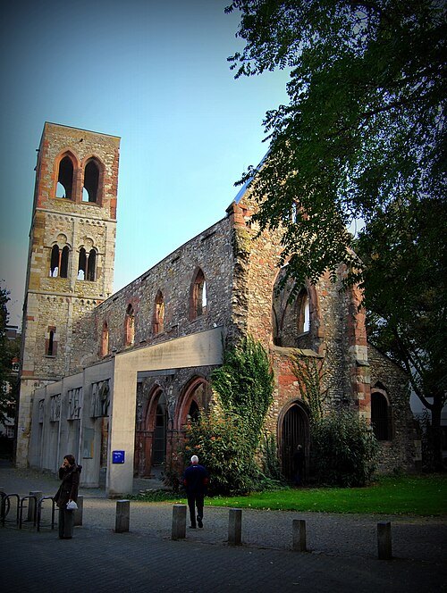 church building
St. Christoph's Church, Mainz
church ruin in Rhineland-Palatinate, Germany
Getting there Nearest stop or station Hauptbahnhof, about 14 min on foot OpenStreetMap
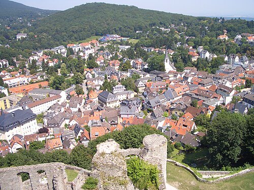 climatic health resort
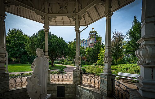
Königstein im Taunus
spa town in Hochtaunuskreis district in Hesse, Germany
Getting there Nearest stop or station Königstein (Taunus), about 11 min on foot OpenStreetMap
- designated spa town
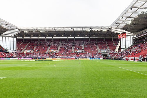
Bad Schwalbach
seat of Rheingau-Taunus-Kreis and town in Hesse, Germany
Getting there Nearest stop or station Kurhaus, about 2 min on foot OpenStreetMap
 diocese of the catholic church
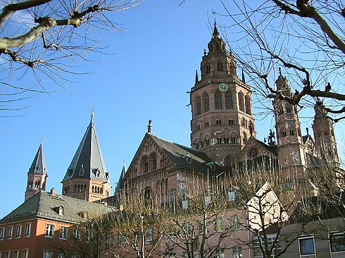
Roman Catholic Diocese of Mainz
latin Catholic ecclesiastical territory in Germany
Getting there Nearest stop or station Mainz Römisches Theater, about 11 min on foot OpenStreetMap
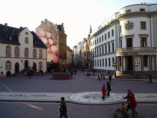 square
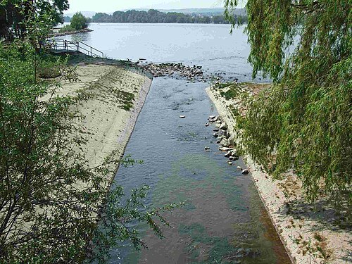
Schlossplatz
square in Wiesbaden, Germany
Getting there Nearest stop or station Dernsches Gelände, about 3 min on foot OpenStreetMap
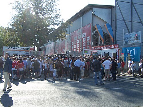 association football venue
Stadion am Bruchweg
football stadium
Getting there Nearest stop or station Mainz Hauptbahnhof, about 15 min on foot OpenStreetMap
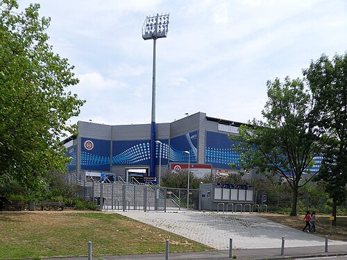 association football venue
BRITA-Arena
football stadium
Getting there Nearest stop or station Wiesbaden Hauptbahnhof, about 14 min on foot OpenStreetMap
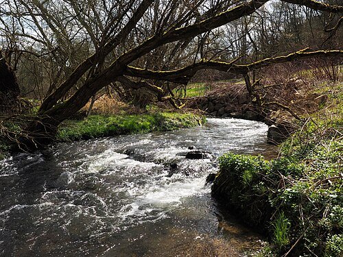
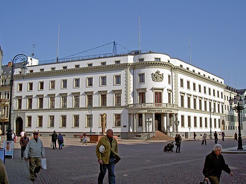
Heidas Wikipedia account All pictures please use this discussion page / CC BY-SA 3.0
parliament buildingStadtschloss
building
Getting there Nearest stop or station Dernsches Gelände, about 3 min on foot OpenStreetMap
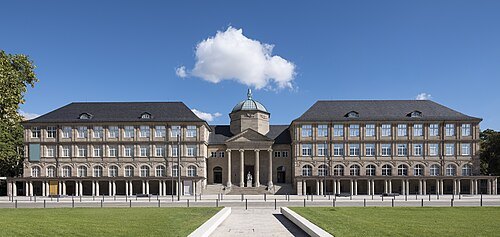
Museumwiesbaden / CC BY-SA 4.0
natural history museumMuseum Wiesbaden
museum in Germany
Getting there Nearest stop or station Dernsches Gelände, about 6 min on foot OpenStreetMap
- ancient city
Mogontiacum
the Roman fort at the present location of the German city of Mainz
Getting there Nearest stop or station Hauptbahnhof, about 13 min on foot OpenStreetMap
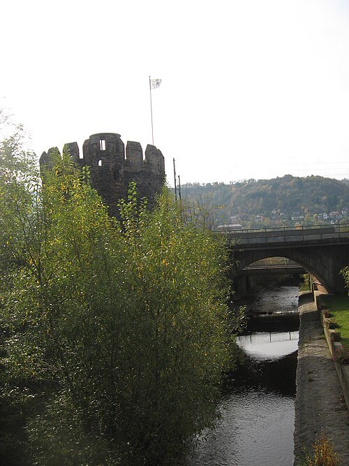
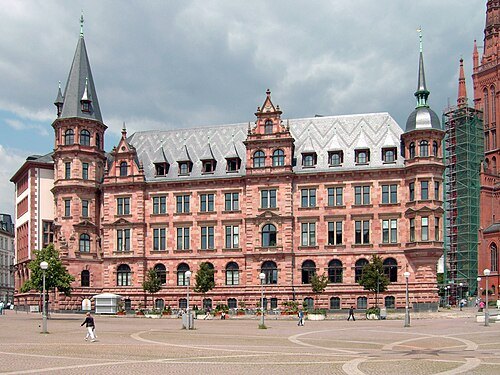 old town
Mitte
borough of the city of Wiesbaden in Hesse, Germany
Getting there Nearest stop or station Dernsches Gelände, about 3 min on foot OpenStreetMap
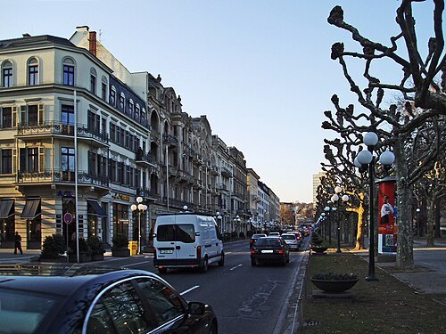
Querido at German Wikipedia / CC BY-SA 3.0
streetWilhelmstraße
thoroughfare in Wiesbaden, Germany
Getting there Nearest stop or station Dernsches Gelände, about 3 min on foot OpenStreetMap
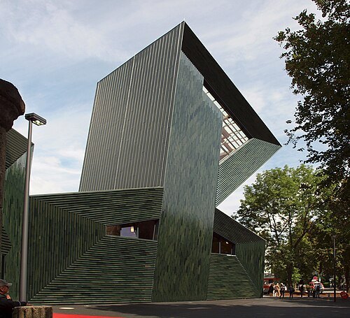 synagogue
New synagogue Mainz
synagogue
Getting there Nearest stop or station Hauptbahnhof, about 12 min on foot OpenStreetMap
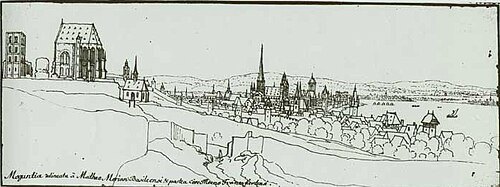
Upload von Martin Bahmann / Public domain
abbeySt. Alban's Abbey
former abbey in Mainz, Germany
Getting there Nearest stop or station Mainz Römisches Theater, about 6 min on foot OpenStreetMap
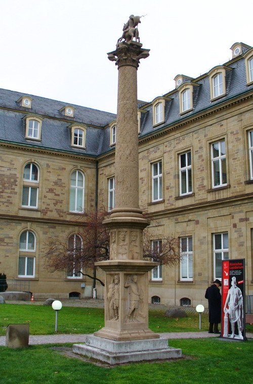 monument
The Big Jupiter column
monument in Mainz, Germany
Getting there Nearest stop or station Kastel/Brückenkopf, about 12 min on foot OpenStreetMap


Places to eat
Nothing here matches that. Clear a filter and try again.
Opening hours and tickets: OpenStreetMap contributors. Each one shows the day a volunteer last wrote it down, so check the official site before you set out.