Stuttgart: what to see and where to eat
Everything below comes from open data and each row says where it came from. We have not been to any of these places and we do not rank them.
Filters
Things to see
- automobile museum
Nunos porsche Museum
automobile museum in Germany
Getting there Nearest stop or station Stuttgart Neuwirtshaus (Porscheplatz), about 1 min on foot OpenStreetMap
Julian Herzog (Website) / CC BY 4.0
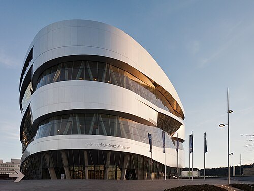
automobile museumMercedes-Benz Museum
automobile museum in Stuttgart, Germany
Getting there Nearest stop or station NeckarPark/Mercedes-Benz-Welt, about 6 min on foot OpenStreetMap
Julian Herzog (Website) / CC BY 4.0
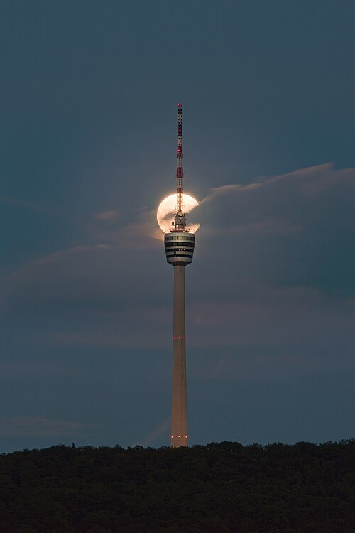
television towerFernsehturm Stuttgart
TV tower
Getting there Nearest stop or station Ruhbank (Fernsehturm), about 7 min on foot OpenStreetMap
Julian Herzog (Website) / CC BY 4.0
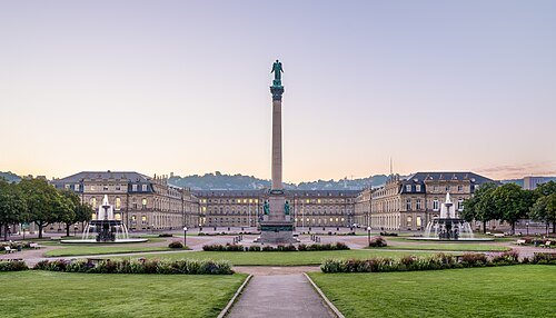
music venueSchloßplatz
square in Stuttgart
Getting there Nearest stop or station Schlossplatz, about 1 min on foot OpenStreetMap
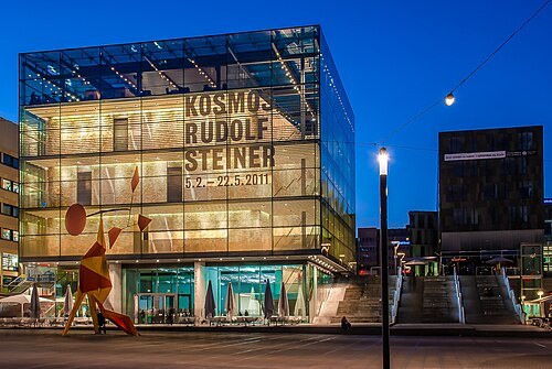 art museum
Kunstmuseum Stuttgart
contemporary and modern art museum in Stuttgart, Germany
Getting there Nearest stop or station Schlossplatz, about 2 min on foot OpenStreetMap
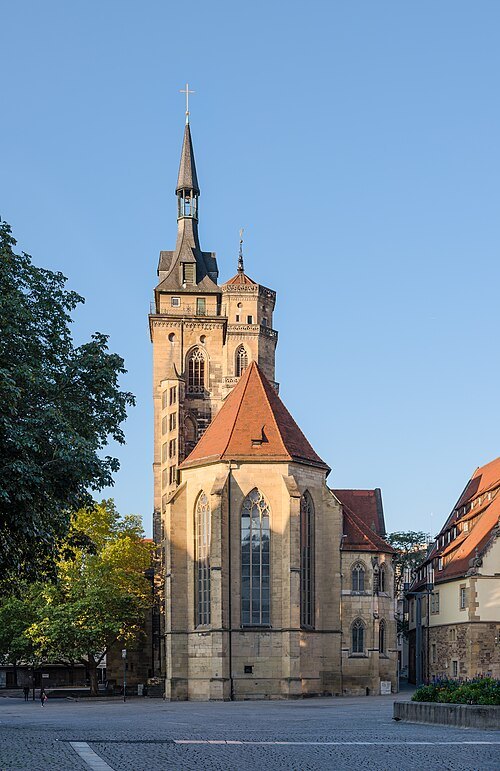
Julian Herzog (Website) / CC BY 4.0
church buildingStuttgart Collegiate Church
collegiate church in Stuttgart, Germany
Getting there Nearest stop or station Schlossplatz, about 4 min on foot OpenStreetMap
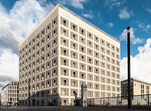
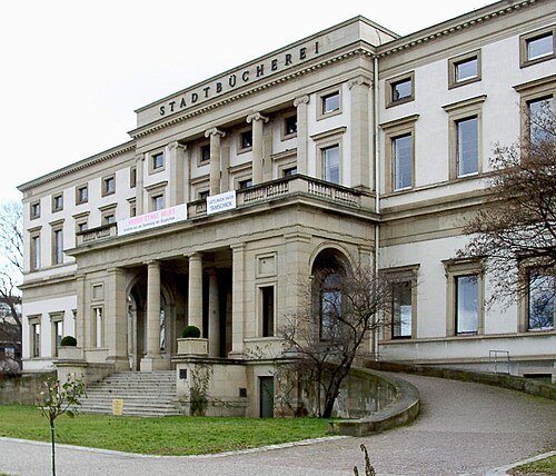
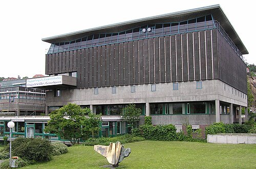 library building
State Library of Württemberg
library in Germany
Getting there Nearest stop or station Charlottenplatz, about 3 min on foot OpenStreetMap
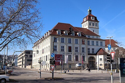
Till Westermayer from Freiburg, Germany / CC BY-SA 2.0
ethnographic museumLinden Museum
ethnographic museum in Stuttgart
Getting there Nearest stop or station Rosenberg-/Seidenstraße, about 6 min on foot OpenStreetMap
 château
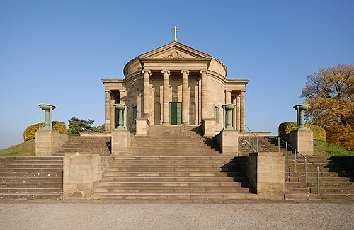
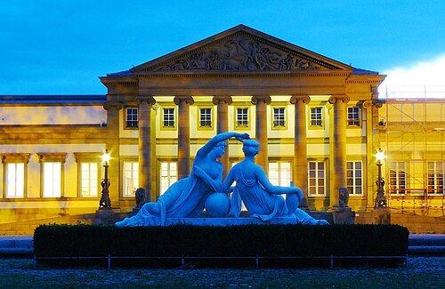
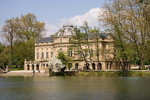
Rosenstein Castle
château
Getting there Nearest stop or station Wilhelma, about 5 min on foot OpenStreetMap
 tower block
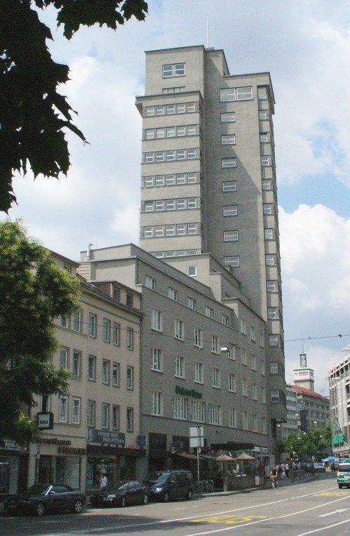
Tagblatt-Turm
high-rise building in Stuttgart, Germany
Getting there Nearest stop or station Österreichischer Platz, about 4 min on foot OpenStreetMap
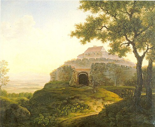
Franz Xaver Odo Müller / Public domain
castleWirtemberg Castle
building in Stuttgart, Stuttgart Government Region, Bade-Württemberg, Germany
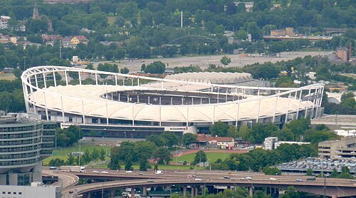
Xocolatl (talk) 09:17, 21 June 2011 (UTC) / CC0
association football venueMHPArena
football stadium in Stuttgart, Germany
Getting there Nearest stop or station NeckarPark (Stadion), about 8 min on foot OpenStreetMap
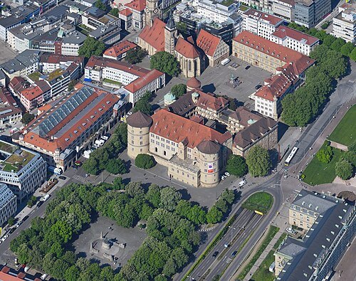 castle
Old Castle
Renaissance castle in Stuttgart, Germany, seat of the Landesmuseum Württemberg
Getting there Nearest stop or station Schlossplatz, about 3 min on foot OpenStreetMap
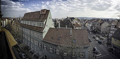
Kostas Koufogiorgos / CC BY-SA 4.0
spa townBad Cannstatt
quarter of Stuttgart, Germany
Getting there Nearest stop or station Mühlgrün, about 2 min on foot OpenStreetMap
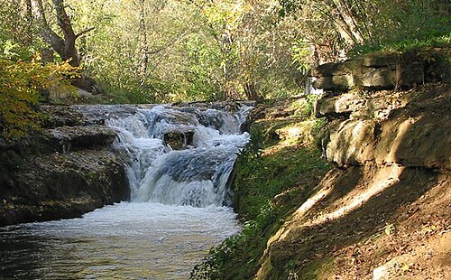
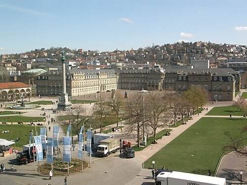 château
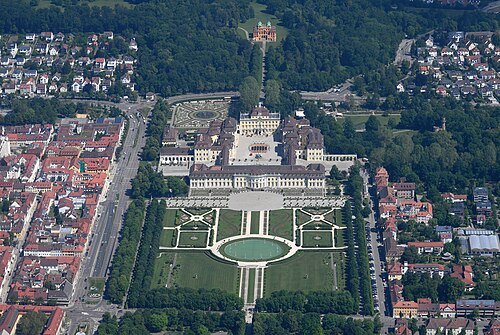
New Palace
palace in Stuttgart
Getting there Nearest stop or station Schlossplatz, about 4 min on foot OpenStreetMap
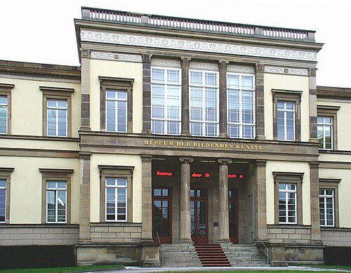
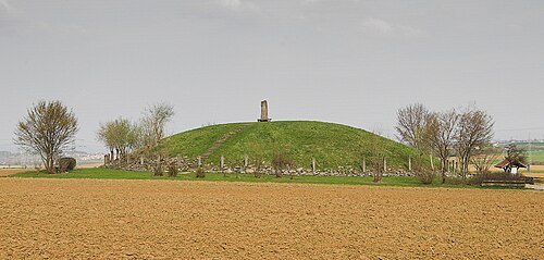
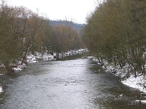
The original uploader was Mussklprozz at German Wikipedia. / CC BY-SA 3.0
riverMurr
river in Germany
Getting there Nearest stop or station Benningen (Neckar), about 9 min on foot OpenStreetMap
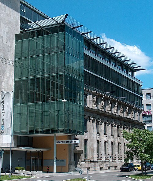
User:MarkusHagenlocher / CC BY-SA 3.0
stock marketBoerse Stuttgart
Stock exchange located in Stuttgart, Germany
Getting there Nearest stop or station Börsenplatz, about 1 min on foot OpenStreetMap
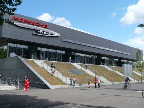 stadium
Porsche-Arena
architectural structure
Getting there Nearest stop or station NeckarPark (Stadion), about 3 min on foot OpenStreetMap
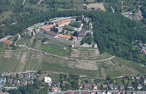
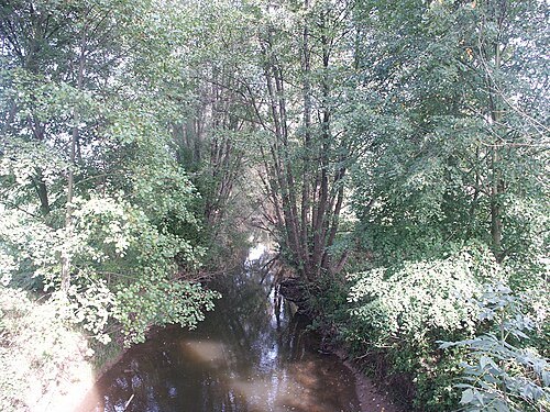 river
Aich
river in Germany
Getting there Nearest stop or station Holzgerlingen Hülben, about 17 min on foot OpenStreetMap
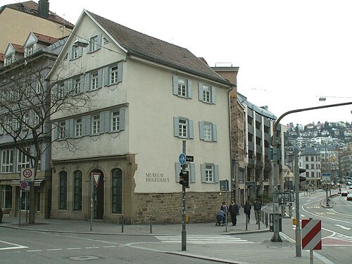 museum
Hegel House
museum in Germany
Getting there Nearest stop or station Rathaus, about 3 min on foot OpenStreetMap
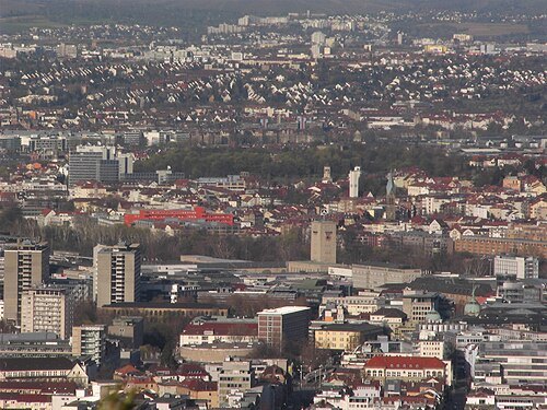
Roger Kreja, Stuttgart / CC BY-SA 3.0
old townStuttgart-Mitte
human settlement in Germany
Getting there Nearest stop or station Schlossplatz, about 4 min on foot OpenStreetMap
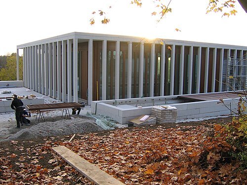 literary museum
Museum of Modern Literature
museum in Germany
Getting there Nearest stop or station Marbach (Neckar), about 16 min on foot OpenStreetMap
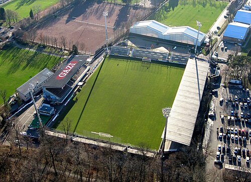
No machine-readable author provided. Karlo assumed (based on copyright claims). / Public domain
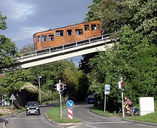 funicular
Standseilbahn Stuttgart
funicular railway in the city of Stuttgart, Germany
Getting there Nearest stop or station Talstation, about 1 min on foot OpenStreetMap
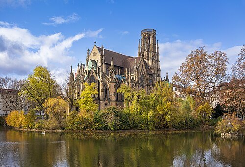 church building
Johanneskirche
Stuttgart
Getting there Nearest stop or station Stuttgart Feuersee, about 2 min on foot OpenStreetMap
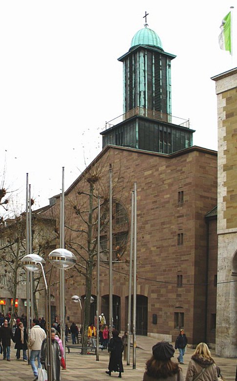 co-cathedral
Stuttgart Cathedral
cathedral in Stuttgart
Getting there Nearest stop or station Schlossplatz, about 2 min on foot OpenStreetMap
Mark.hirtenmacher / CC BY-SA 4.0
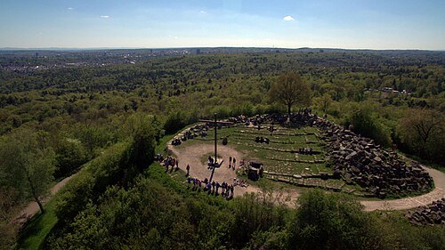
parkBirkenkopf
mountain
Getting there Nearest stop or station Lindpaintnerstraße, about 15 min on foot OpenStreetMap
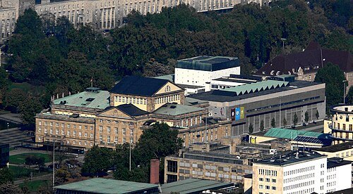
Photo: Andreas Praefcke / CC BY 3.0
theatre companyStaatstheater Stuttgart
theatre company in Stuttgart, Germany
Getting there Nearest stop or station Staatsgalerie, about 6 min on foot OpenStreetMap
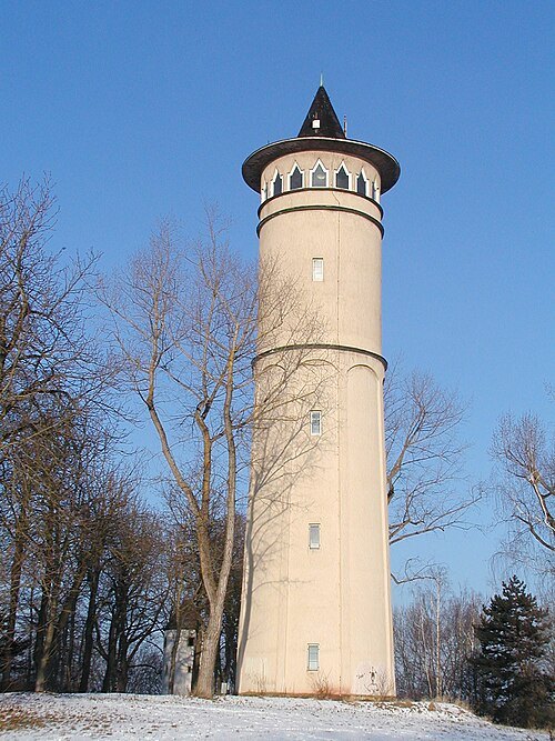
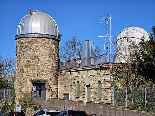 astronomical observatory
Stuttgart Observatory
observatory in Stuttgart
Getting there Nearest stop or station Heidehofstraße, about 8 min on foot OpenStreetMap
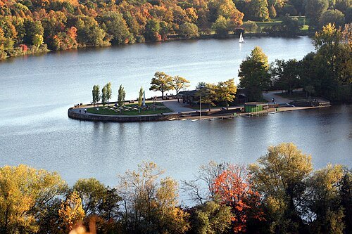
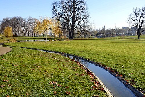
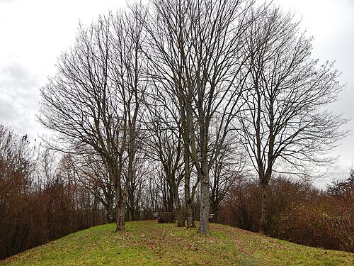
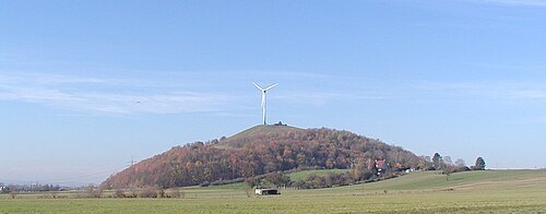 park
Grüner Heiner
mountain
Getting there Nearest stop or station Weilimdorf, about 16 min on foot OpenStreetMap
 palace
Wilhelm Palais
building in Stuttgart-Mitte, Stuttgart Government Region, Bade-Württemberg, Germany
Getting there Nearest stop or station Charlottenplatz, about 1 min on foot OpenStreetMap
- theatre company
Staatsoper Stuttgart
theatre company in Germany
Getting there Nearest stop or station Schlossplatz, about 7 min on foot OpenStreetMap
 library
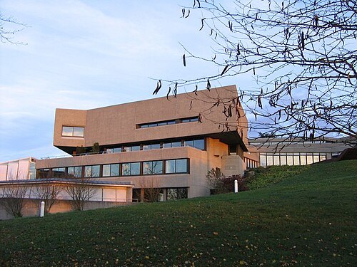
German Literature Archive Marbach
literature archive in Marbach am Neckar, Baden-Württemberg, Germany (1955–)
Getting there Nearest stop or station Marbach (Neckar), about 17 min on foot OpenStreetMap
- mountain
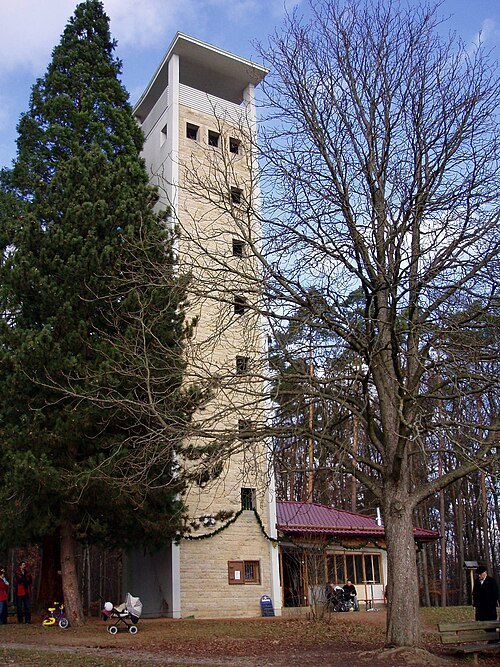
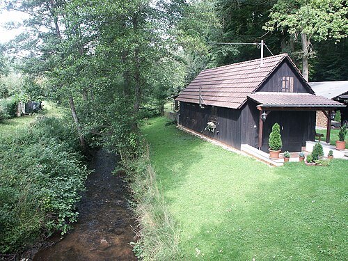
Bopser
mountain
Getting there Nearest stop or station Weinsteige, about 8 min on foot OpenStreetMap
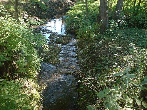
 river
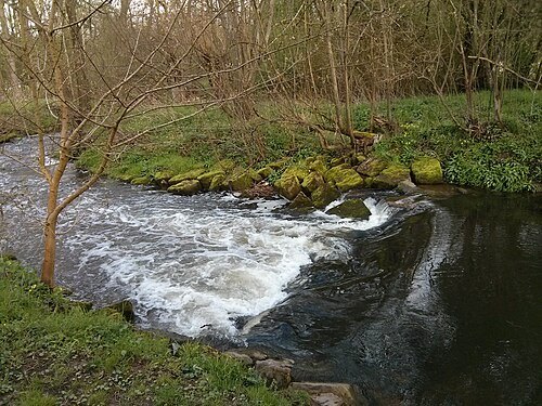
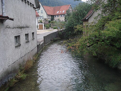
Körsch
river in Germany
Getting there Nearest stop or station Esslingen-Zell, about 14 min on foot OpenStreetMap


Places to eat
Nothing here matches that. Clear a filter and try again.
Opening hours and tickets: OpenStreetMap contributors. Each one shows the day a volunteer last wrote it down, so check the official site before you set out.