Nuremberg: what to see and where to eat
Everything below comes from open data and each row says where it came from. We have not been to any of these places and we do not rank them.
Filters
Things to see
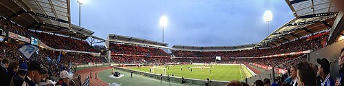 association football venue
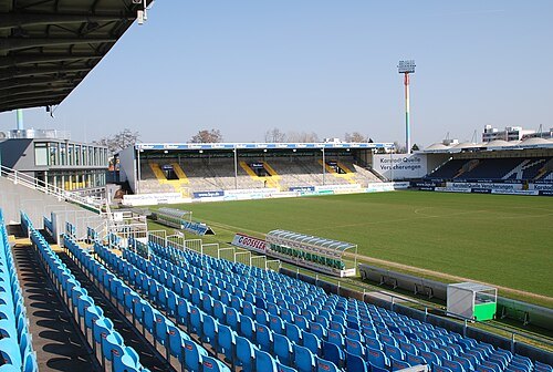
Max-Morlock-Stadion
multi-use stadium in Nürnberg, Germany
Getting there Nearest stop or station Nürnberg Frankenstadion, about 9 min on foot OpenStreetMap
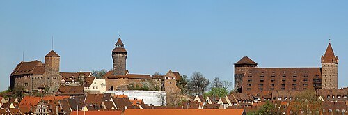 castle
Nuremberg Castle
fortification
Getting there Nearest stop or station Friedrich-Ebert-Platz, about 9 min on foot OpenStreetMap
The original uploader was Keichwa at German Wikipedia. / CC BY-SA 3.0
art museumGermanisches Nationalmuseum
museum about German National cultural history in Nuremberg, Germany
Getting there Nearest stop or station Opernhaus, about 3 min on foot OpenStreetMap
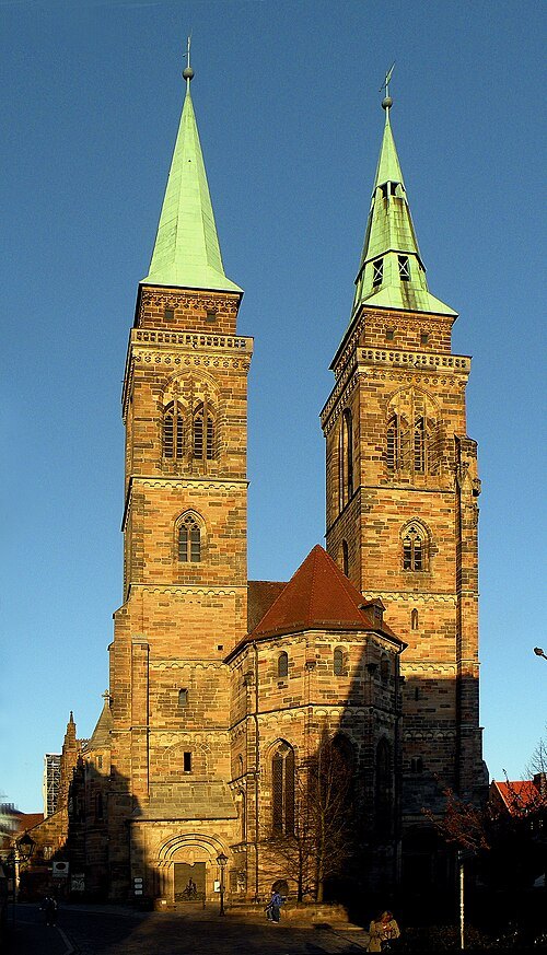 church building
St. Sebaldus
church building in Nuremberg, Germany
Getting there Nearest stop or station Lorenzkirche, about 8 min on foot OpenStreetMap
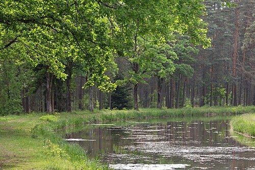 canal
Ludwig Canal
canal
Getting there Nearest stop or station Am Rangierbahnhof, about 19 min on foot OpenStreetMap
- church building
St. Lawrence
church building in Nuremberg, Germany
Getting there Nearest stop or station Lorenzkirche, about 1 min on foot OpenStreetMap
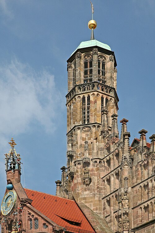 parish church
Frauenkirche
parish church in Nuremberg, Germany
Getting there Nearest stop or station Lorenzkirche, about 5 min on foot OpenStreetMap
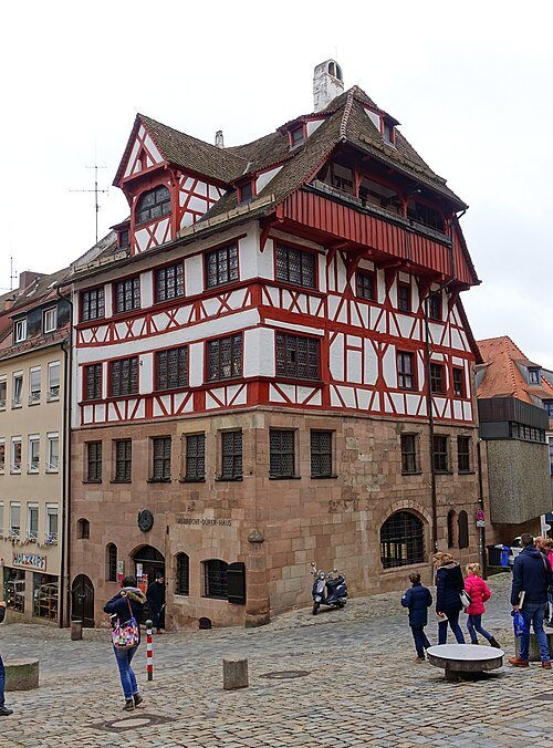 art museum
Albrecht Dürer's House
preserved artist's house and art museum
Getting there Nearest stop or station Friedrich-Ebert-Platz, about 10 min on foot OpenStreetMap
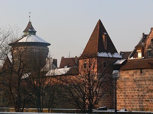
Photo: Andreas Praefcke / CC BY 3.0
city wallsCity walls of Nuremberg
Historic wall built around the city of Nuremberg, Germany
Getting there Nearest stop or station Rathenauplatz, about 2 min on foot OpenStreetMap
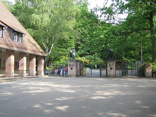
- railway museum
Nuremberg Transport Museum
museum
Getting there Nearest stop or station Opernhaus, about 2 min on foot OpenStreetMap
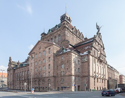 opera house
Staatstheater Nürnberg
theatre and opera house in Nuremberg, Germany
Getting there Nearest stop or station Opernhaus, about 1 min on foot OpenStreetMap
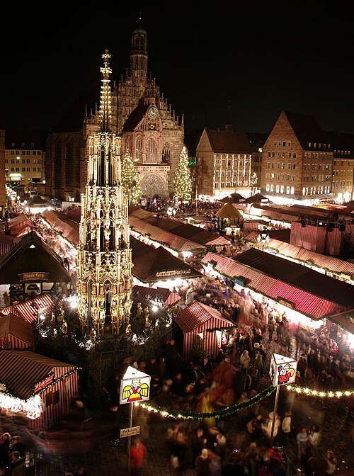 christmas market
Christkindlesmarkt
annual Christmas market in Nuremberg, Bavaria, Germany
Getting there Nearest stop or station Lorenzkirche, about 5 min on foot OpenStreetMap
- stone bridge
Fleischbrücke (Nürnberg)
late Renaissance bridge in Nuremberg, Germany
Getting there Nearest stop or station Lorenzkirche, about 4 min on foot OpenStreetMap
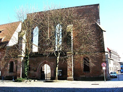 ruins
Katharinenkirche, Nuremberg
church building in Nuremberg, Middle Franconia, Germany
Getting there Nearest stop or station Lorenzkirche, about 5 min on foot OpenStreetMap
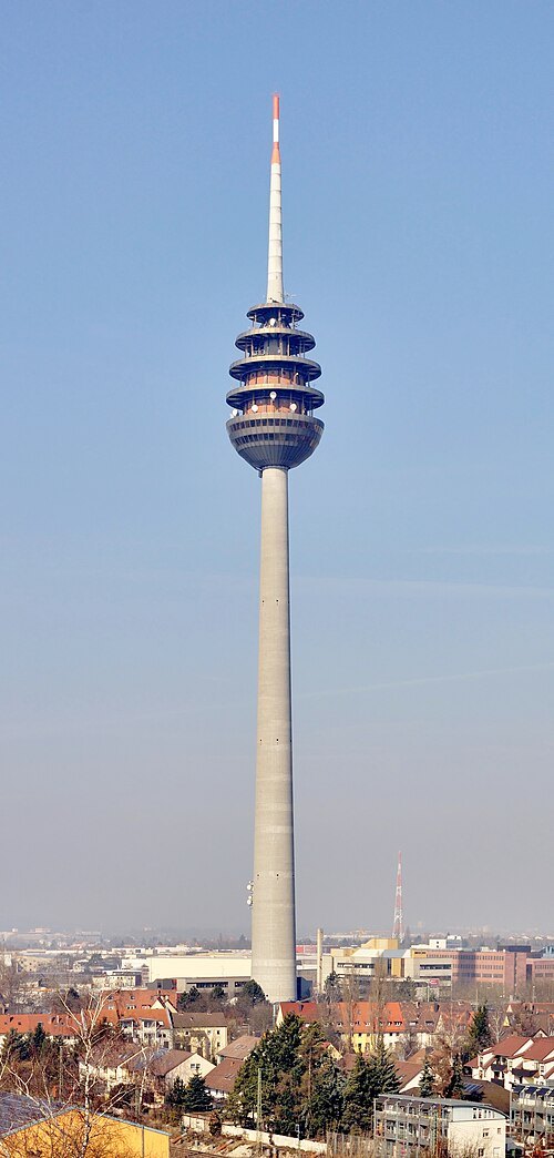 television tower
Fernmeldeturm Nürnberg
television tower in the city of Nuremberg, Bavaria, Germany
Getting there Nearest stop or station Hohe Marter, about 8 min on foot OpenStreetMap
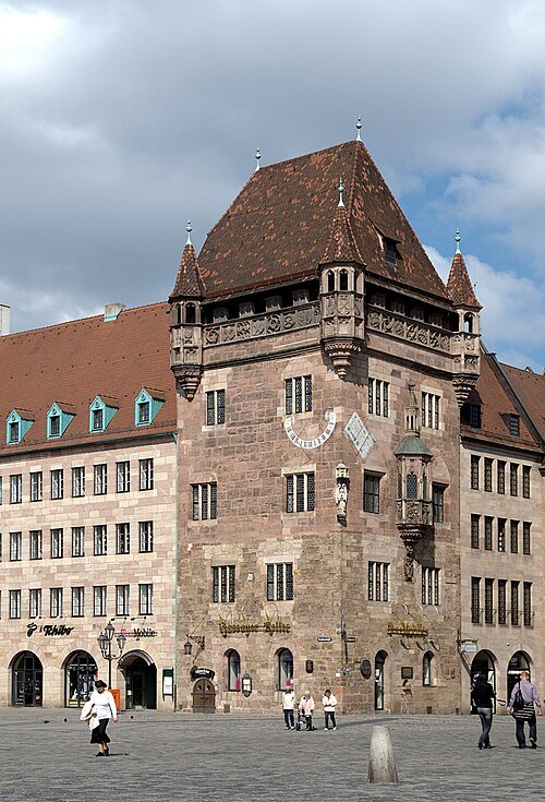 tower
Nassauer Haus
tower
Getting there Nearest stop or station Lorenzkirche, about 1 min on foot OpenStreetMap
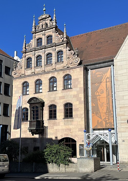 toy museum
Nuremberg Toy Museum
toy museum in Nuremberg
Getting there Nearest stop or station Lorenzkirche, about 7 min on foot OpenStreetMap
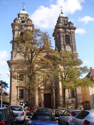 church building
St. Egidien
church building in Nuremberg, Middle Franconia, Germany
Getting there Nearest stop or station Rathenauplatz, about 9 min on foot OpenStreetMap
- botanical garden
Botanischer Garten Erlangen
botanical garden
Getting there Nearest stop or station Hugenottenplatz, about 6 min on foot OpenStreetMap
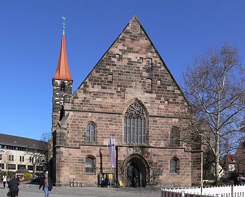
Photo: Andreas Praefcke / CC BY 3.0
parish churchSt. Jakob
church
Getting there Nearest stop or station Weißer Turm, about 1 min on foot OpenStreetMap
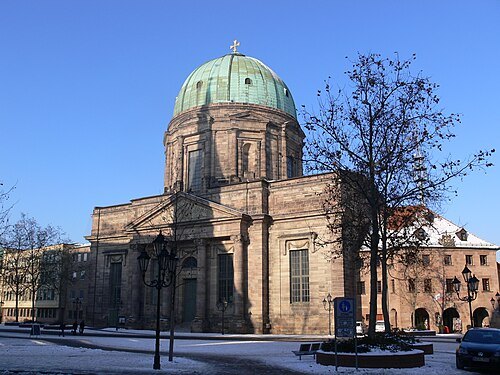
Photo: Andreas Praefcke / CC BY 3.0
parish churchSt. Elizabeth
parish church
Getting there Nearest stop or station Weißer Turm, about 1 min on foot OpenStreetMap
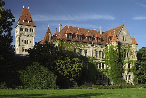
Press-office.fc.de / CC BY-SA 3.0
châteauFaber-Castell-Schloss
architectural structure
Getting there Nearest stop or station Röthenbach, about 13 min on foot OpenStreetMap
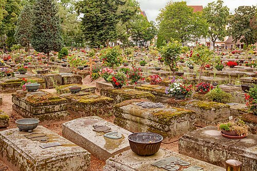 cemetery
St. Rochus Cemetery
cemetery in Nuremberg, Germany
Getting there Nearest stop or station Plärrer, about 6 min on foot OpenStreetMap
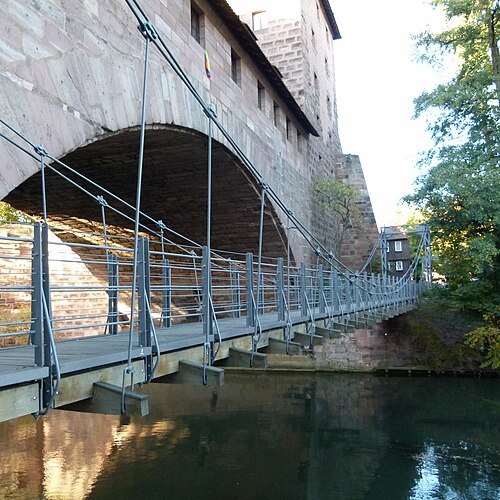
Dr. Bernd Gross / CC BY-SA 3.0
steel bridgeChain Bridge
bridge in Nuremberg, Germany
Getting there Nearest stop or station Weißer Turm, about 7 min on foot OpenStreetMap
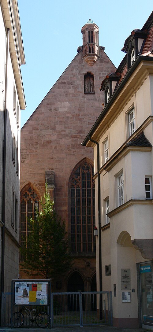
Photo: Andreas Praefcke / Public domain
church buildingSt. Martha
church building in Nuremberg, Middle Franconia, Germany
Getting there Nearest stop or station Nürnberg Hauptbahnhof, about 3 min on foot OpenStreetMap
- stone bridge
Karlsbrücke (Nuremberg)
pair of medieval bridges in Nuremberg, Germany
Getting there Nearest stop or station Lorenzkirche, about 5 min on foot OpenStreetMap
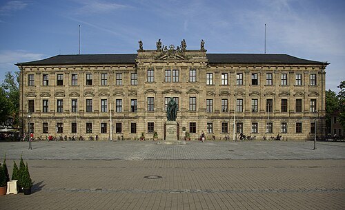 château
Margravial Palace Erlangen
château in Erlangen, Franconia
Getting there Nearest stop or station Hugenottenplatz, about 3 min on foot OpenStreetMap
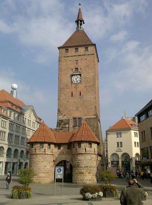 tower
Weißer Turm
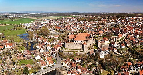
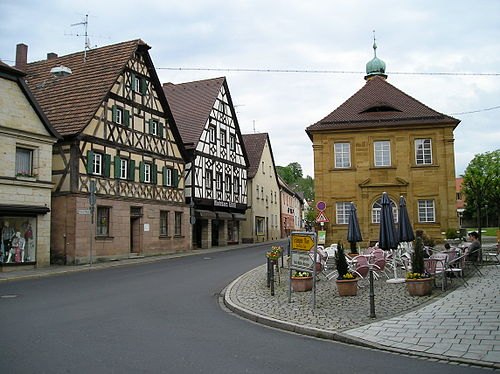 market municipality of germany
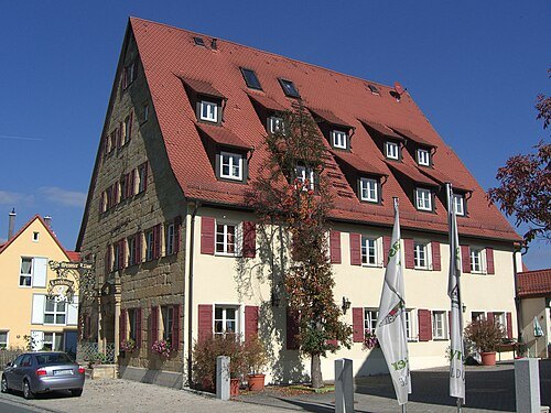
Neunkirchen am Brand
market municipality in the district of Forchheim, Bavaria, Germany
Getting there Nearest stop or station Neunkirchen/Busbf, about 10 min on foot OpenStreetMap
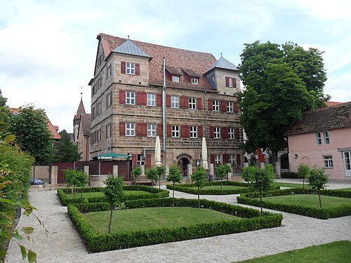
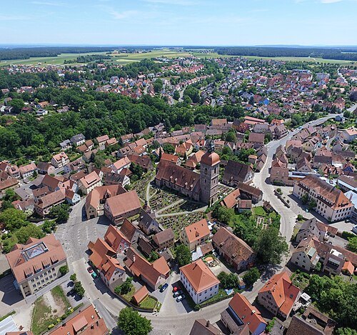
 market municipality of germany
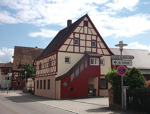
Eckental
market municipality of Germany
Getting there Nearest stop or station Eschenau Bahnhof, about 5 min on foot OpenStreetMap
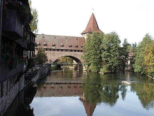
The original uploader was Keichwa at German Wikipedia. / CC BY-SA 3.0
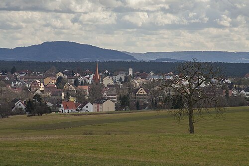
riverPegnitz
natural watercourse in Germany
Getting there Nearest stop or station Fürth-Stadthalle, about 13 min on foot OpenStreetMap
 river
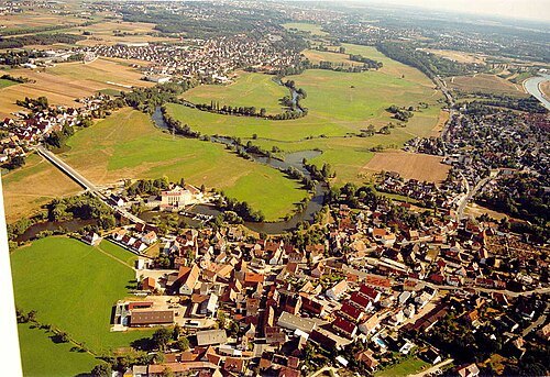
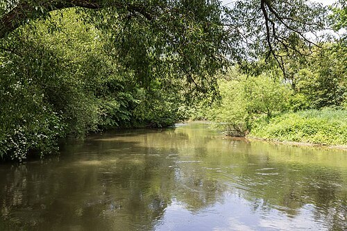
Regnitz
river in Germany
Getting there Nearest stop or station Fürth-Stadthalle, about 13 min on foot OpenStreetMap
 street circuit
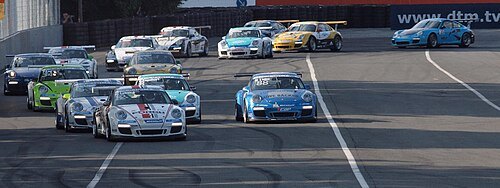
Norisring
race track
Getting there Nearest stop or station Nürnberg Frankenstadion, about 6 min on foot OpenStreetMap
- stadium
Deutsches Stadion
never built stadium in Nuremberg, Germany
Getting there Nearest stop or station Messe, about 11 min on foot OpenStreetMap
 river
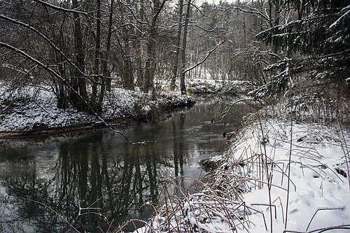
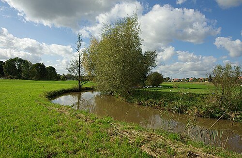
Aurach
river in Germany
Getting there Nearest stop or station Erlangen-Bruck, about 16 min on foot OpenStreetMap
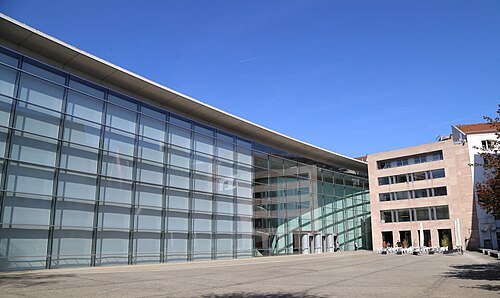 art museum
Neues Museum Nürnberg
art and design museum in Nuremberg, Bavaria, Germany
Getting there Nearest stop or station Nürnberg Hauptbahnhof, about 3 min on foot OpenStreetMap
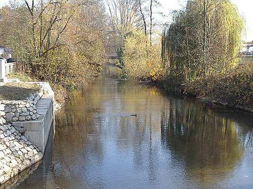
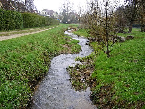
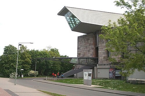 history museum
Documentation Center Nazi Party Rally Grounds
museum about causes, connections, and consequences of Nazi Germany
Getting there Nearest stop or station Nürnberg-Dutzendteich, about 7 min on foot OpenStreetMap
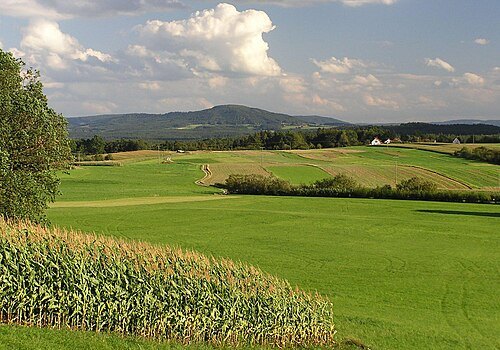
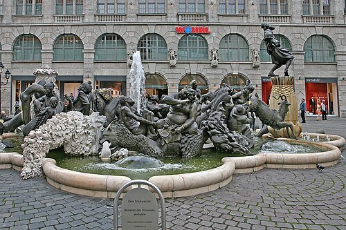 fountain
Ehekarussell
fountain (Nuremberg, Germany)
Getting there Nearest stop or station Weißer Turm, about 1 min on foot OpenStreetMap
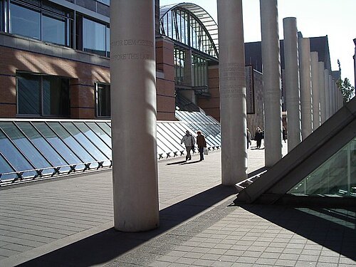
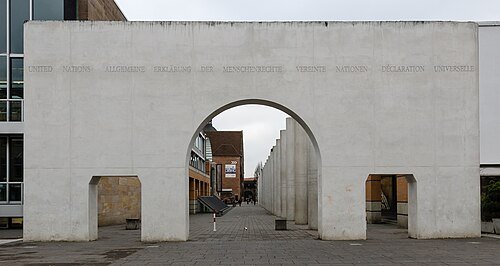 sculpture
Way of Human Rights
sculpture by Dani Karavan
Getting there Nearest stop or station Opernhaus, about 2 min on foot OpenStreetMap
- synagogue
Grand Synagogue of Nuremberg
former synagogue in Nuremberg
Getting there Nearest stop or station Lorenzkirche, about 5 min on foot OpenStreetMap
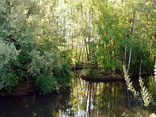 river
Goldbach
river of Pegnitz, Bavaria, Germany
Getting there Nearest stop or station Nürnberg Frankenstadion, about 14 min on foot OpenStreetMap
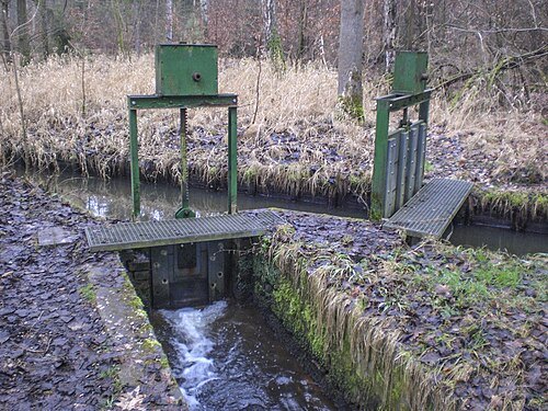 river
Fischbach
natural watercourse in Germany
Getting there Nearest stop or station Nürnberg Frankenstadion, about 4 min on foot OpenStreetMap
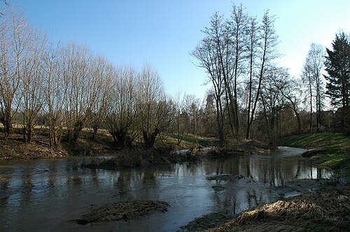
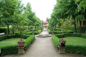
Jhempel at de.wikipedia / CC BY-SA 3.0
gardenHesperidengärten
park in Germany
Getting there Nearest stop or station Klinikum Nord, about 11 min on foot OpenStreetMap
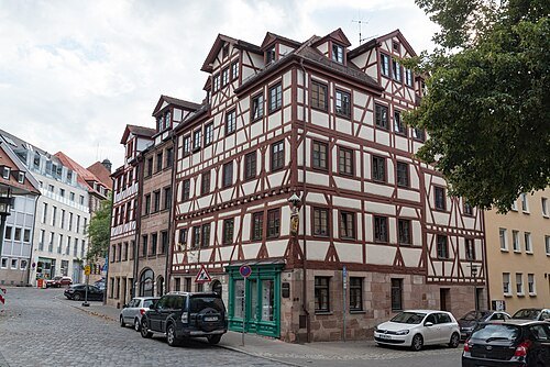 square
Unschlittplatz
street in Nürnberg, Bavaria, Germany
Getting there Nearest stop or station Weißer Turm, about 5 min on foot OpenStreetMap


Places to eat
- restaurant
Café Ladida
Food: pizza, coffee shop, italian, international, dessert, salad, cake, chocolate
Nothing here matches that. Clear a filter and try again.
Opening hours and tickets: OpenStreetMap contributors. Each one shows the day a volunteer last wrote it down, so check the official site before you set out.