Karlsruhe: what to see and where to eat
Everything below comes from open data and each row says where it came from. We have not been to any of these places and we do not rank them.
Filters
Things to see
- château
Karlsruhe Palace
Palace built by count Karl Wilhelm von Baden-Durlach
Getting there Nearest stop or station Marktplatz (Kaiserstraße U), about 7 min on foot OpenStreetMap
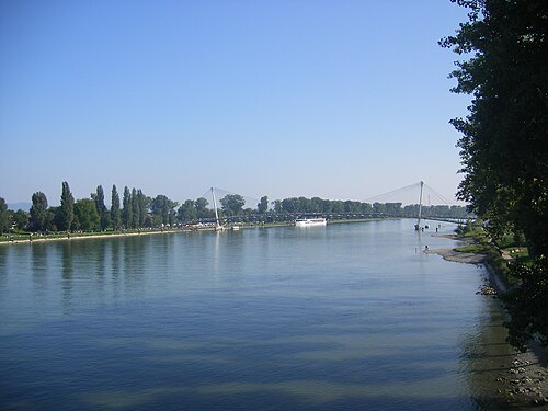
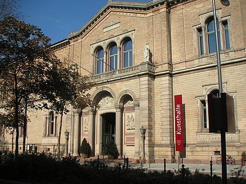 art museum
Staatliche Kunsthalle Karlsruhe
museum in Karlsruhe, Germany
Getting there Nearest stop or station Marktplatz (Kaiserstraße U), about 5 min on foot OpenStreetMap
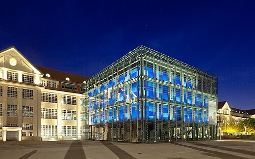
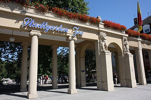 zoo
Karlsruhe Zoo
zoo in Karlsruhe, Germany
Getting there Nearest stop or station Augartenstraße, about 3 min on foot OpenStreetMap
 château
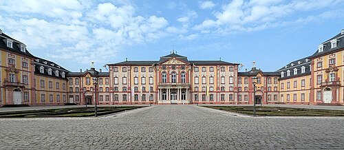
Bruchsal Palace
château in Bruchsal, Baden-Württemberg, Germany
Getting there Nearest stop or station Bruchsal Schlossgarten, about 2 min on foot OpenStreetMap
- architectural landmark
Karlsruhe Pyramid
tomb in Germany
Getting there Nearest stop or station Marktplatz (Kaiserstraße U), about 2 min on foot OpenStreetMap
- castle
Karlsburg Castle
castle
Getting there Nearest stop or station Schlossplatz, about 1 min on foot OpenStreetMap
- natural history museum
State Museum of Natural History Karlsruhe
natural history museum in Karlsruhe, Germany
Getting there Nearest stop or station Ettlinger Tor/Staatstheater, about 4 min on foot OpenStreetMap
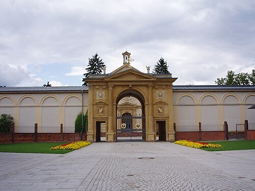
--Xocolatl 18:38, 12 August 2006 (UTC) / Public domain
rural cemeteryHauptfriedhof Karlsruhe
cemetery in Karlsruhe, Karlsruhe Government Region, Bade-Württemberg, Germany
Getting there Nearest stop or station Hirtenweg - Technologiepark, about 4 min on foot OpenStreetMap
 botanical garden
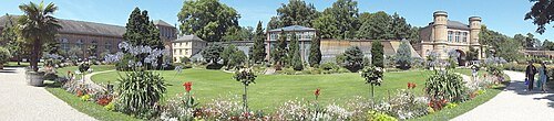
Botanischer Garten Karlsruhe
municipal botanical garden located in Karlsruhe, Baden-Württemberg, Germany
Getting there Nearest stop or station Marktplatz (Kaiserstraße U), about 6 min on foot OpenStreetMap
- cultural center
Prinz-Max-Palais
cultural center in a former villa in Karlsruhe, Germany
Getting there Nearest stop or station Europaplatz (Kaiserstraße), about 2 min on foot OpenStreetMap
 museum
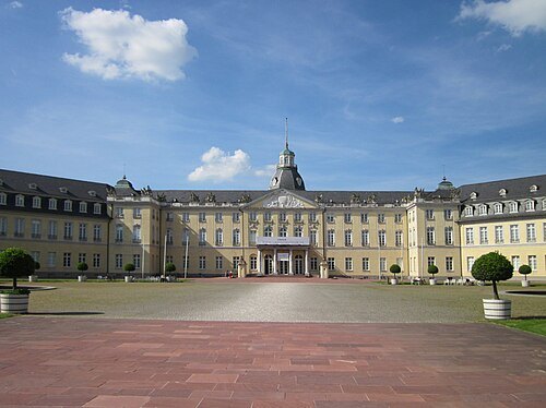
The Badisches Landesmuseum
museum in Germany
Getting there Nearest stop or station Marktplatz (Kaiserstraße U), about 7 min on foot OpenStreetMap
- palace
Hereditary Grand Ducal Palace
building in Karlsruhe, Germany
Getting there Nearest stop or station Karlstor/Bundesgerichtshof, about 1 min on foot OpenStreetMap
- sepulchral chapel
Grabkapelle
church in Karlsruhe, Germany
Getting there Nearest stop or station Pastor-Felke-Straße, about 8 min on foot OpenStreetMap
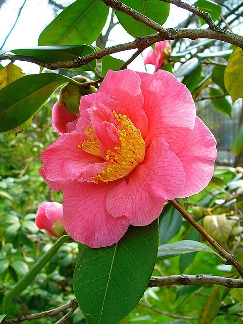 botanical garden
Botanical Garden of the KIT
Garden in Germany
Getting there Nearest stop or station Karl-Wilhelm-Platz, about 5 min on foot OpenStreetMap
- library
Baden State Library
library in Germany
Getting there Nearest stop or station Marktplatz (Kaiserstraße U), about 5 min on foot OpenStreetMap
- jewish cemetery
Grötzingen Jewish Cemetery
building in Karlsruhe, Karlsruhe Government Region, Bade-Württemberg, Germany
 château
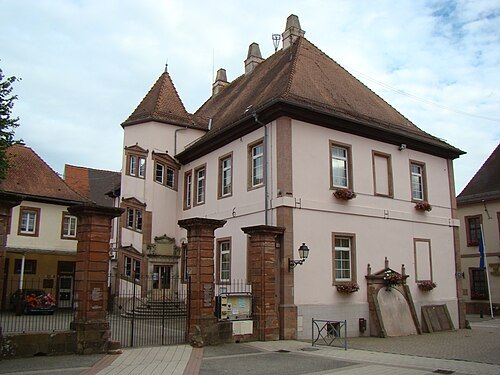
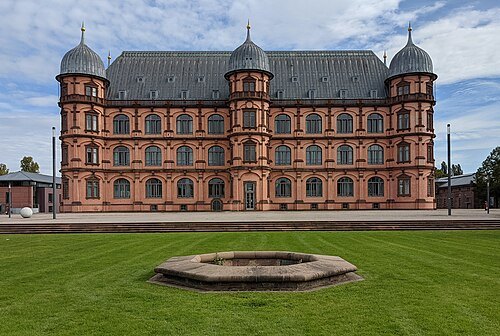
Schloss Gottesaue
building in Oststadt, Karlsruhe Government Region, Bade-Württemberg, Germany
- church building
Christuskirche
church in Karlsruhe
Getting there Nearest stop or station Mühlburger Tor (Grashofstraße), about 3 min on foot OpenStreetMap
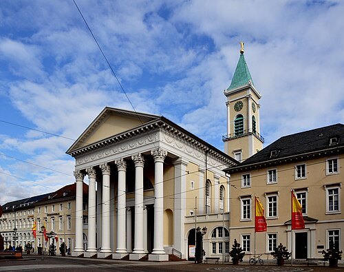
Photo: Andreas Praefcke / CC BY 3.0
church buildingProtestant Town Church
church in Karlsruhe, Germany
Getting there Nearest stop or station Marktplatz (Kaiserstraße U), about 3 min on foot OpenStreetMap
No machine-readable author provided. Martin-D assumed (based on copyright claims). / CC BY-SA 2.5
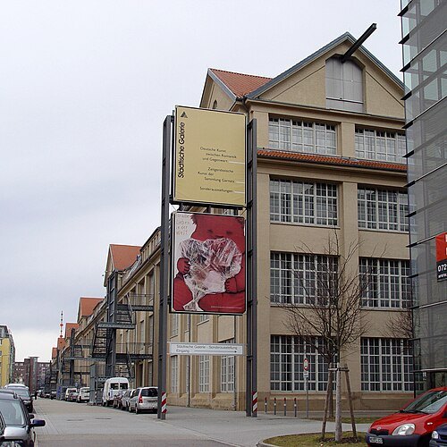
museumKarlsruhe Art Museum
museum
Getting there Nearest stop or station ZKM, about 3 min on foot OpenStreetMap
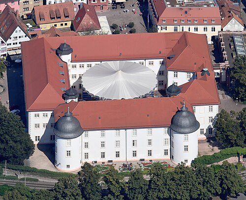 château
Ettlingen Palace
Palace in Germany
Getting there Nearest stop or station Ettlingen Erbprinz, about 2 min on foot OpenStreetMap
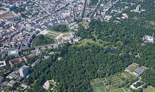 english garden
Schlossgarten Karlsruhe
Park in Karlsruhe
Getting there Nearest stop or station Marktplatz (Kaiserstraße U), about 9 min on foot OpenStreetMap
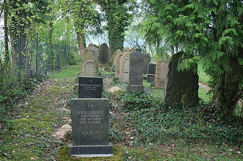 jewish cemetery
Jüdischer Friedhof Jöhlingen
building in Walzbachtal, Karlsruhe Government Region, Bade-Württemberg, Germany
Getting there Nearest stop or station Wössingen Bahnhof, about 16 min on foot OpenStreetMap
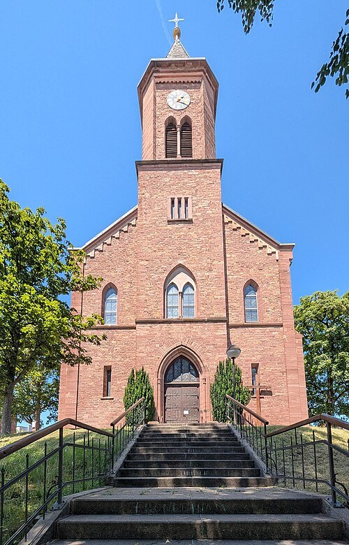 spa town
Waldbronn
municipality in Karlsruhe county in Germany
Getting there Nearest stop or station Reichenbach (b. Ettlingen), about 8 min on foot OpenStreetMap
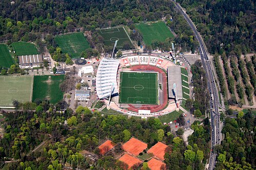 association football venue
Wildparkstadion
football stadium located in Karlsruhe, Germany
Getting there Nearest stop or station Pastor-Felke-Straße, about 13 min on foot OpenStreetMap
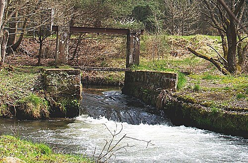
Engelberger at German Wikipedia (Original text: Ralf Engelberger) / CC BY-SA 3.0
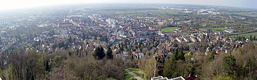
User Martin-D1 (Martin Dürrschnabel) on de.wikipedia / Public domain
ancient cityDurlach
borough of the German city of Karlsruhe
Getting there Nearest stop or station Friedrichschule, about 3 min on foot OpenStreetMap
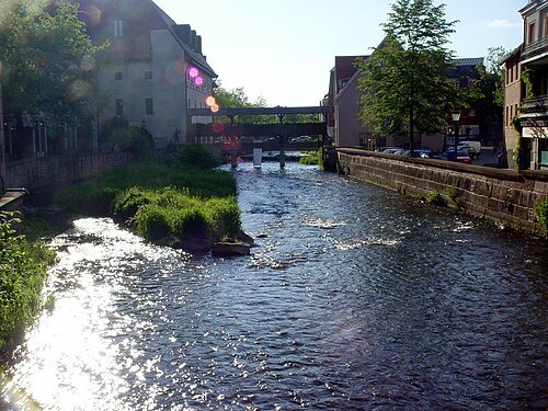
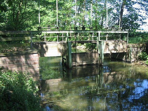
Harald Kucharek / CC BY-SA 2.0
riverPfinz
river in Germany
Getting there Nearest stop or station Ittersbach Rathaus, about 13 min on foot OpenStreetMap
- theatre company
Badisches Staatstheater Karlsruhe
theatre and opera company in Karlsruhe, Germany
Getting there Nearest stop or station Ettlinger Tor/Staatstheater (U), about 4 min on foot OpenStreetMap
No machine-readable author provided. Martin-D assumed (based on copyright claims). / CC BY-SA 2.5
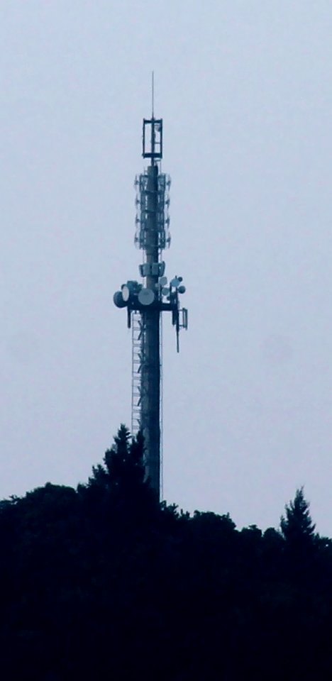 mountain
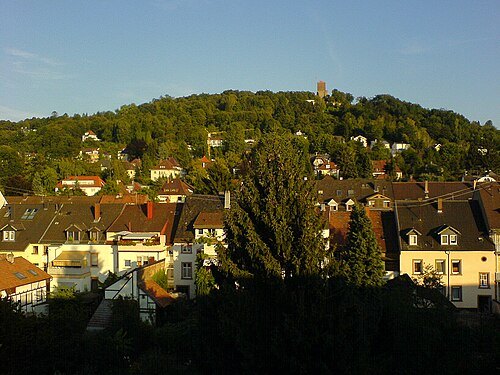
Wattkopf
mountain
Getting there Nearest stop or station Ettlingen Albgaubad, about 15 min on foot OpenStreetMap
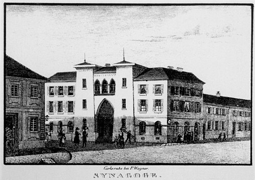
Unknown authorUnknown author / Public domain
synagogueKarlsruhe Synagogue
synagogue
Getting there Nearest stop or station Kronenplatz (U), about 2 min on foot OpenStreetMap
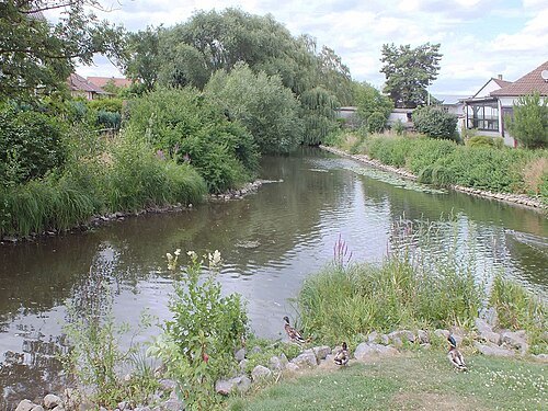
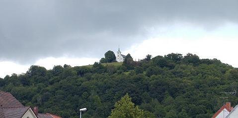
The original uploader was Thomas Ihle at German Wikipedia. / CC BY-SA 3.0
mountainMichaelsberg
mountain in Germany
Getting there Nearest stop or station Untergrombach, about 15 min on foot OpenStreetMap
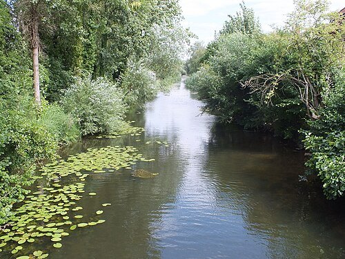
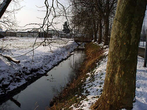
 river
Kämpfelbach
river in Germany
Getting there Nearest stop or station Wilferdingen-Singen, about 7 min on foot OpenStreetMap
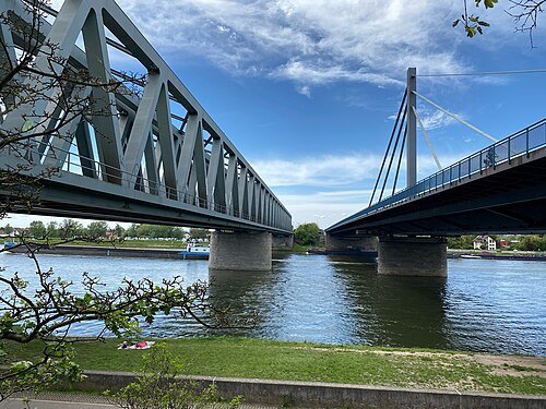
- square
Marktplatz
public square in Karlsruhe, Germany
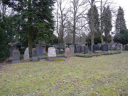
- cemetery
Friedhof Rüppurr
cemetery in Rüppurr, Karlsruhe Government Region, Bade-Württemberg, Germany
Getting there Nearest stop or station Tulpenstraße, about 4 min on foot OpenStreetMap
Frank C. Müller / CC BY-SA 3.0
jewish cemeteryJüdischer Friedhof Bruchsal
building in Bruchsal, Karlsruhe Government Region, Bade-Württemberg, Germany
Getting there Nearest stop or station Bruchsal Tunnelstraße, about 9 min on foot OpenStreetMap
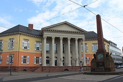
photography taken by Christophe.Finot / CC BY-SA 3.0
squareRondellplatz
public square in Karlsruhe, Germany
Getting there Nearest stop or station Ettlinger Tor/Staatstheater (U), about 2 min on foot OpenStreetMap
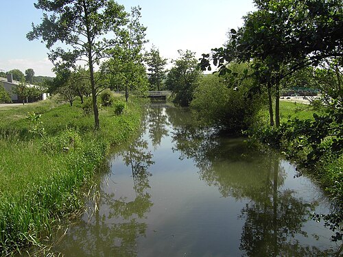
 river
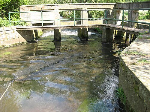
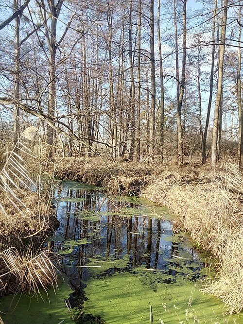
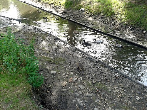
Malscher Landgraben
river in Germany
Getting there Nearest stop or station Badeniaplatz, about 17 min on foot OpenStreetMap
 church building
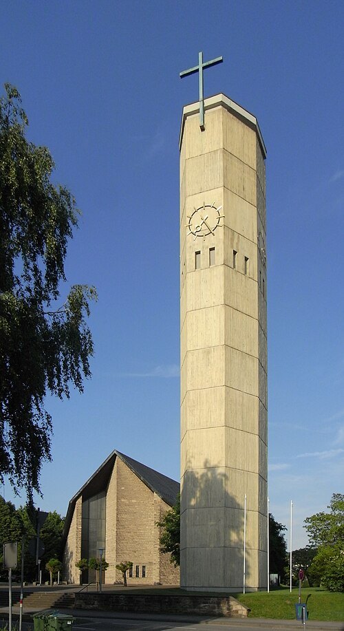
Our Lady Church
church building in Ettlingen, Karlsruhe Government Region, Bade-Württemberg, Germany
Getting there Nearest stop or station Ettlingen West, about 4 min on foot OpenStreetMap
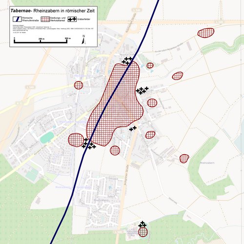
Contributors of the relevant openstreetmap.org data + Haselburg-müller / CC BY-SA 2.0
roman archaeological siteTabernae
archaeological site in Germany
Getting there Nearest stop or station Rheinzabern Bf, about 5 min on foot OpenStreetMap


Places to eat
- restaurant
Trattoria Da Franco
Food: italian
Nothing here matches that. Clear a filter and try again.
Opening hours and tickets: OpenStreetMap contributors. Each one shows the day a volunteer last wrote it down, so check the official site before you set out.