Heidelberg: what to see and where to eat
Everything below comes from open data and each row says where it came from. We have not been to any of these places and we do not rank them.
Filters
Things to see
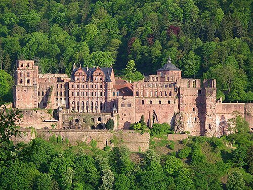
Pumuckel42 (Reinhard Wolf) at de:Wikipedia / CC BY-SA 3.0
museumHeidelberg Castle
castle in Germany
Getting there Nearest stop or station Alte Brücke, about 9 min on foot OpenStreetMap
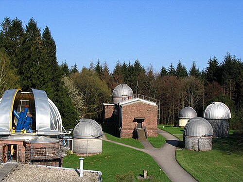
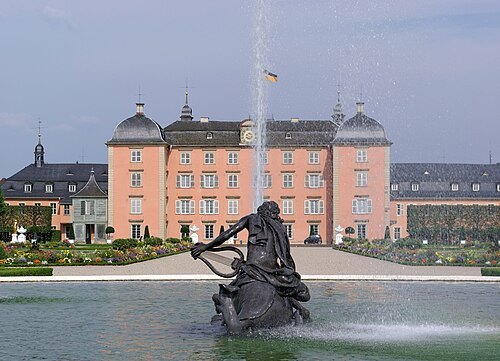
Berthold Werner / CC BY-SA 3.0
châteauSchwetzingen Palace
palace in Schwetzingen, Germany, formerly the summer residence of the Electors Palatine
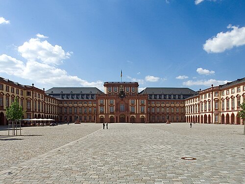
Quadratestadt Mannheim Bernhard Kunz / Stadtmarketing Mannheim GmbH / CC BY-SA 2.0
royal palaceMannheim Palace
historic castle in Mannheim, Germany
Getting there Nearest stop or station Mannheim Hauptbahnhof, about 11 min on foot OpenStreetMap
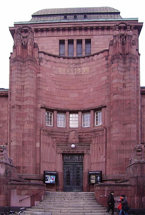 art museum
Kunsthalle Mannheim
art museum in Mannheim, Germany
Getting there Nearest stop or station Mannheim ZOB, about 9 min on foot OpenStreetMap
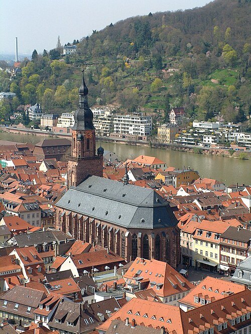
No machine-readable author provided. Hlohning assumed (based on copyright claims). / CC BY 2.5
church buildingChurch of the Holy Spirit, Heidelberg
church in Heidelberg
Getting there Nearest stop or station Alte Brücke, about 3 min on foot OpenStreetMap
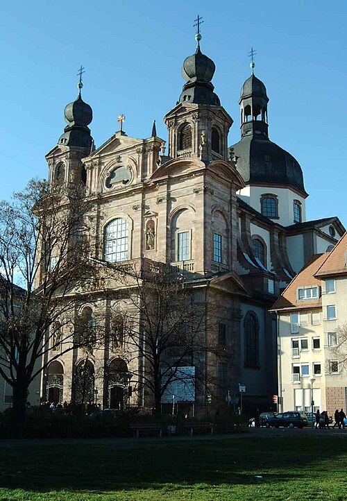 church building
Jesuit Church
church in Mannheim, Germany
Getting there Nearest stop or station Mannheim Handelshafen/Jungbusch, about 14 min on foot OpenStreetMap
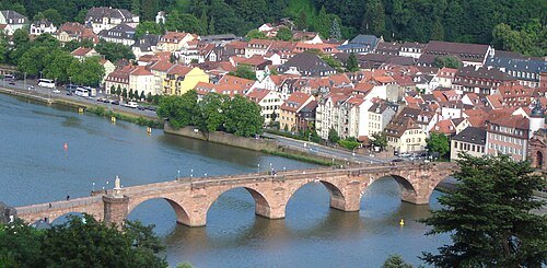 stone bridge
Old Bridge
bridge over the Neckar in Heidelberg, Germany
Getting there Nearest stop or station Alte Brücke, about 1 min on foot OpenStreetMap
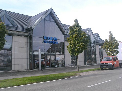
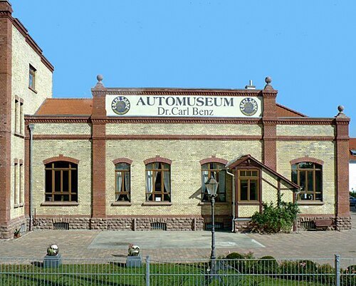 automobile museum
Automuseum Dr. Carl Benz
automobile museum
Getting there Nearest stop or station Ladenburg, about 7 min on foot OpenStreetMap
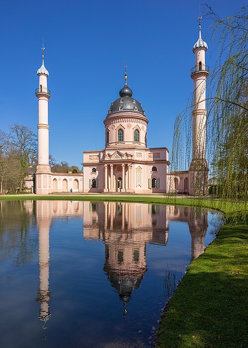
- astronomical observatory
Mannheim Observatory
former observatory in Mannheim, Germany
Getting there Nearest stop or station Mannheim Handelshafen/Jungbusch, about 13 min on foot OpenStreetMap
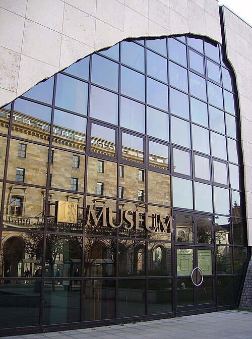 museum
Reiss-Engelhorn Museums
public institution for museums and cultural institutions in Mannheim, Germany
Getting there Nearest stop or station Mannheim Handelshafen/Jungbusch, about 11 min on foot OpenStreetMap
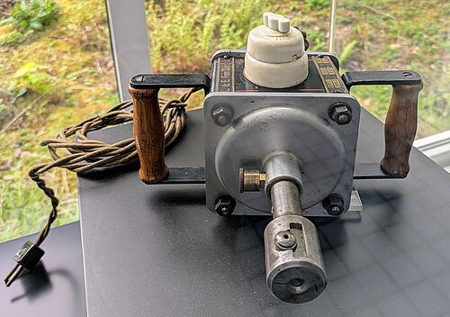 technology museum
Technoseum
museum in Mannheim
Getting there Nearest stop or station Gondoletta, about 9 min on foot OpenStreetMap
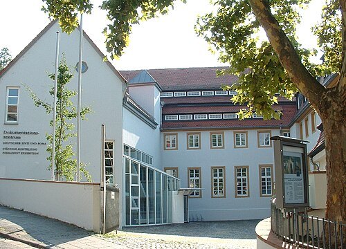
Dokumentations- und Kulturzentrum Deutscher Sinti und Roma / Public domain
military museumDocumentation and Cultural Centre of German Sinti and Roma
military museum
Getting there Nearest stop or station Alte Brücke, about 6 min on foot OpenStreetMap
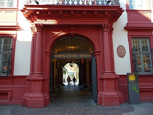 history museum
Kurpfälzisches Museum
museum in Heidelberg, Germany
Getting there Nearest stop or station Stadthalle, about 3 min on foot OpenStreetMap
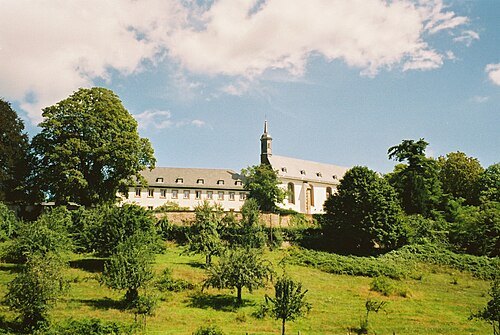
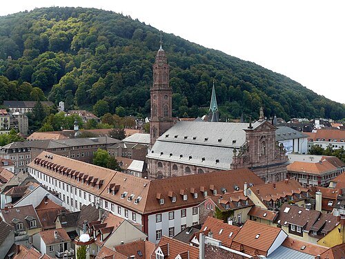 church building
Jesuitenkirche (Heidelberg)
church
Getting there Nearest stop or station Alte Brücke, about 5 min on foot OpenStreetMap
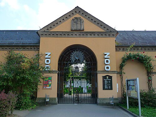 zoo
Heidelberg Zoo
zoo in Germany
Getting there Nearest stop or station Berufsschule, about 12 min on foot OpenStreetMap
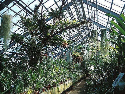 botanical garden
Botanischer Garten der Universität Heidelberg
botanical garden
Getting there Nearest stop or station Berufsschule, about 13 min on foot OpenStreetMap
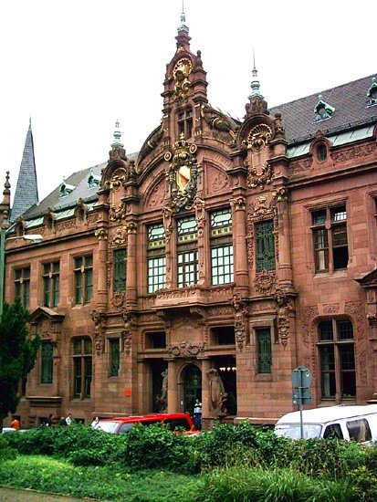
Stateofthings. Original uploader was Stateofthings at de.wikipedia / CC BY-SA 3.0
academic libraryHeidelberg University Library
central scientific library providing literature and information for the whole University of Heidelberg, Germany
Getting there Nearest stop or station Stadthalle, about 7 min on foot OpenStreetMap
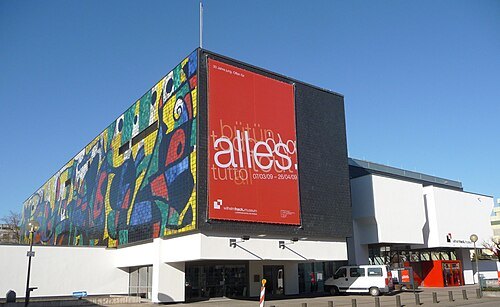 museum
Wilhelm-Hack-Museum
art museum in Ludwigshafen, Germany
Getting there Nearest stop or station Berliner Platz, about 8 min on foot OpenStreetMap
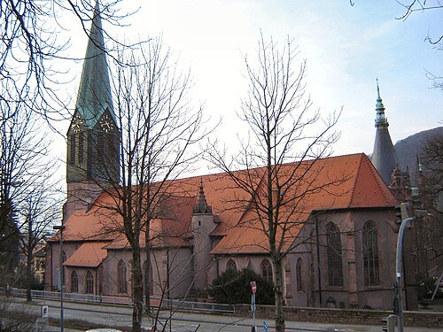 church building
Peterskirche
church building in Heidelberg, Karlsruhe Government Region, Bade-Württemberg, Germany
Getting there Nearest stop or station Stadthalle, about 7 min on foot OpenStreetMap
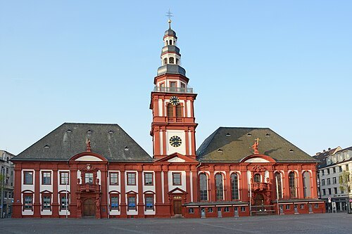
Hubert Berberich (HubiB) / CC BY 3.0
parish churchSt. Sebastian
church building in Mannheim
Getting there Nearest stop or station Kurpfalzbrücke, about 9 min on foot OpenStreetMap
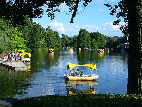
Andromeda Altair / Public domain
botanical gardenLuisenpark
garden in Mannheim
Getting there Nearest stop or station Gondoletta, about 2 min on foot OpenStreetMap
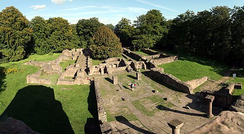
Kuebi = Armin Kübelbeck / CC BY-SA 3.0
monasteryMonastery of St. Michael
building in Heidelberg, Karlsruhe Government Region, Bade-Württemberg, Germany
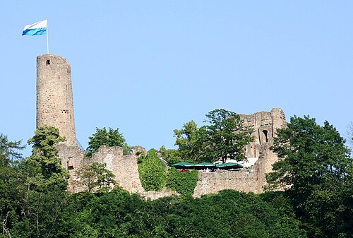 castle
Windeck Castle
building in Weinheim, Karlsruhe Government Region, Bade-Württemberg, Germany
Getting there Nearest stop or station Weinheim Alter OEG-Bf, about 15 min on foot OpenStreetMap
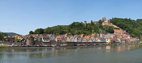
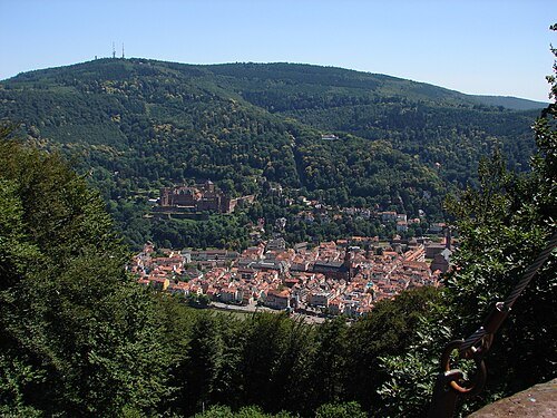
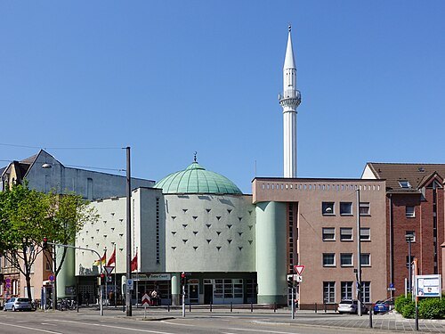
Hubert Berberich (HubiB) / CC BY-SA 3.0
mosqueYavuz Sultan Selim Mosque
Mosque in Mannheim-Jungbusch (Germany)
Getting there Nearest stop or station Mannheim Handelshafen/Jungbusch, about 9 min on foot OpenStreetMap
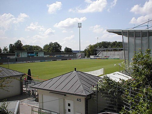
- association football venue
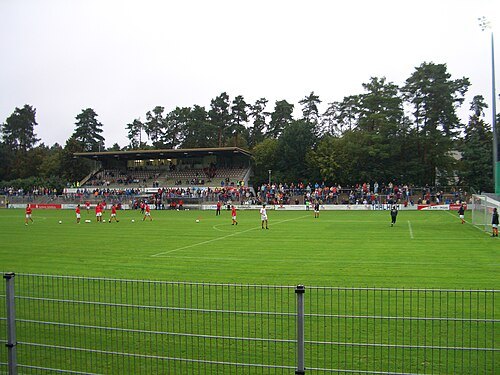
Carl-Benz-Stadion
Stadium in Mannheim, Germany
Getting there Nearest stop or station Gondoletta, about 7 min on foot OpenStreetMap
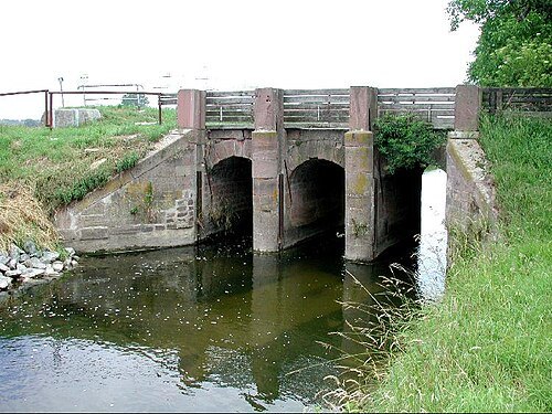
 association football venue
Dietmar-Hopp-Stadion
Football venue in Hoffenheim, Germany
Getting there Nearest stop or station Hoffenheim, about 11 min on foot OpenStreetMap
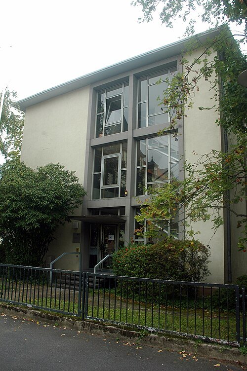
Radosław Drożdżewski (Zwiadowca21) / CC BY-SA 4.0
astronomical observatoryAstronomical Calculation Institute
German astronomical research center
Getting there Nearest stop or station Neuenheim, about 10 min on foot OpenStreetMap
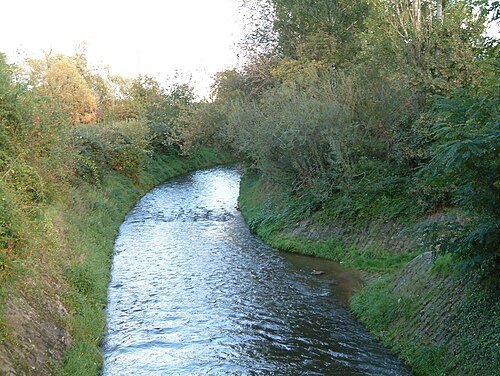
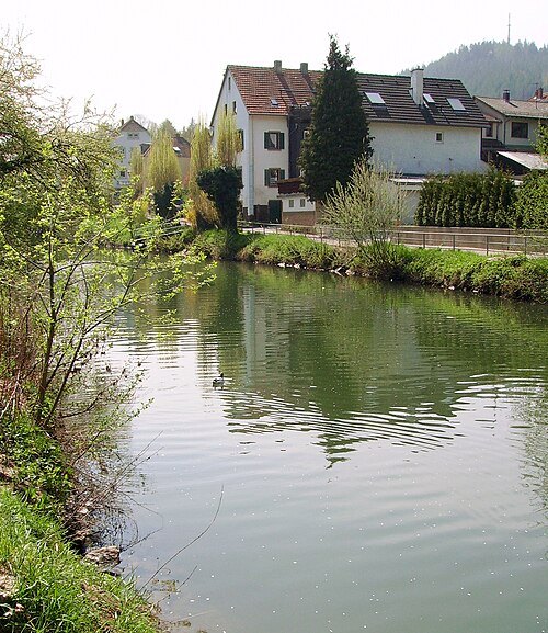
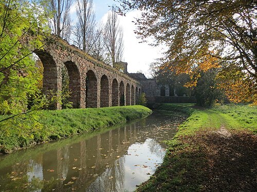 river
Leimbach
river
Getting there Nearest stop or station Kollerfähre, about 8 min on foot OpenStreetMap
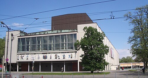
Photo: Andreas Praefcke / CC BY 3.0
theatre companyNational Theatre Mannheim
theatre and opera company in Mannheim, Germany, with a variety of performance spaces
Getting there Nearest stop or station Collini-Center, about 6 min on foot OpenStreetMap
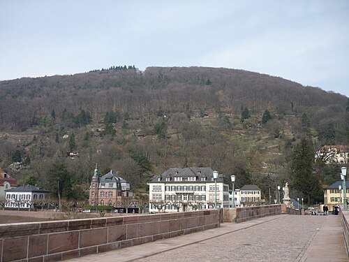 street
Philosophenweg
road in Heidelberg, Germany
Getting there Nearest stop or station Stadthalle, about 4 min on foot OpenStreetMap
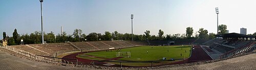 association football venue
Südweststadion
football stadium
Getting there Nearest stop or station Ludwigshafen Hauptbahnhof, about 17 min on foot OpenStreetMap
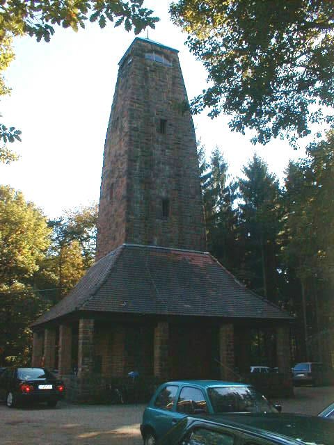
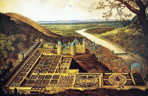
Jacques Fouquier / Public domain
gardenHortus Palatinus
Castle garden in Heidelberg, Germany
Getting there Nearest stop or station Heidelberg-Altstadt, about 8 min on foot OpenStreetMap
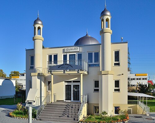 mosque
Ehsaan Mosque
mosque in Mannheim, Baden-Württemberg, Germany
Getting there Nearest stop or station Mannheim-Neckarau, about 17 min on foot OpenStreetMap
- university library
Library of Ludwigshafen University of Applied Sciences
university library
Getting there Nearest stop or station Berliner Platz, about 6 min on foot OpenStreetMap
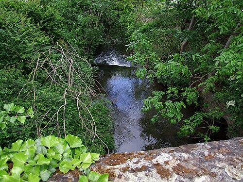
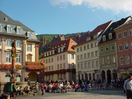
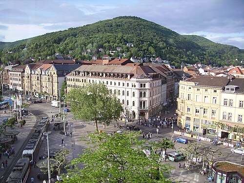
Reinhard Kraasch / CC BY-SA 3.0
squareMarktplatz
public square in Heidelberg, Germany
Getting there Nearest stop or station Alte Brücke, about 3 min on foot OpenStreetMap
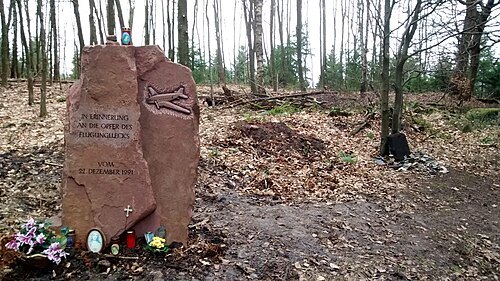
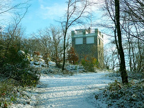
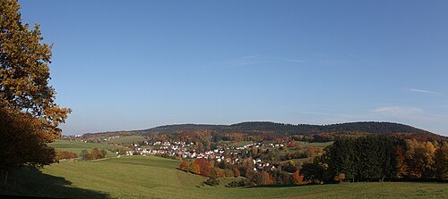
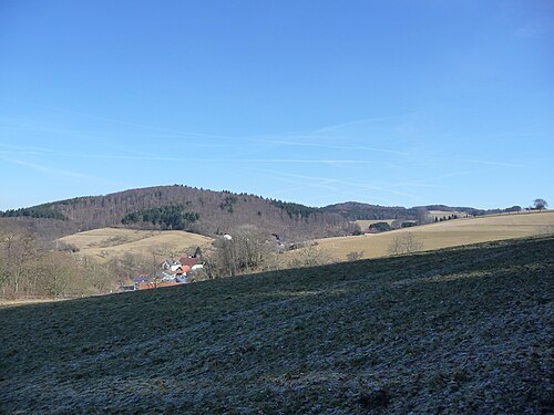
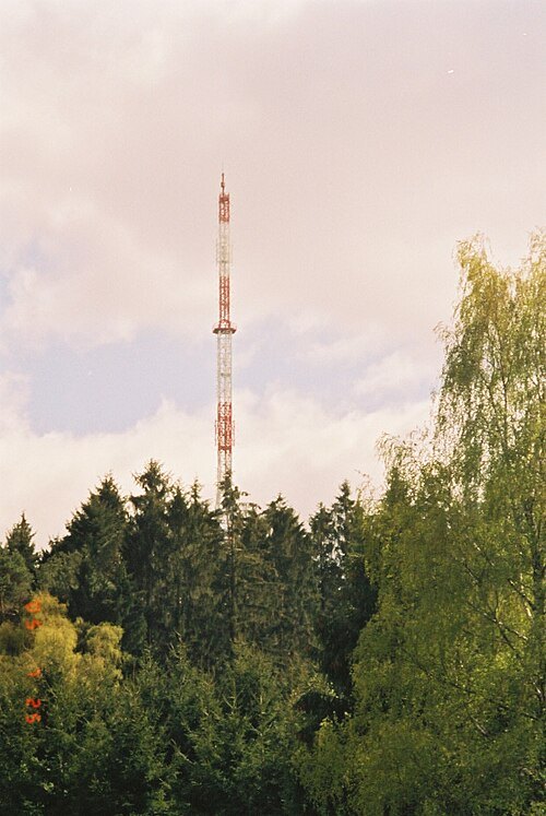
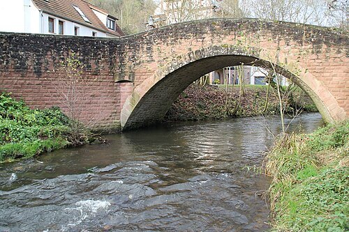
Freak-Line-Community / CC BY-SA 3.0
riverLaxbach
river in Germany
Getting there Nearest stop or station Hirschhorn (Neckar), about 4 min on foot OpenStreetMap
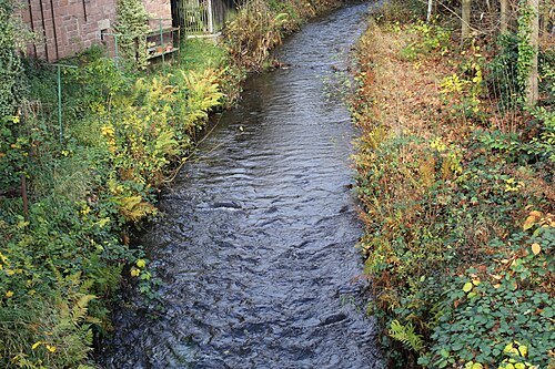
Freak-Line-Community / CC BY-SA 3.0
riverFinkenbach
river in Germany
Getting there Nearest stop or station Hirschhorn (Neckar), about 8 min on foot OpenStreetMap
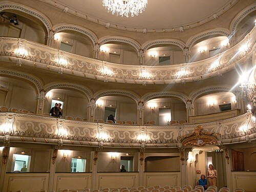
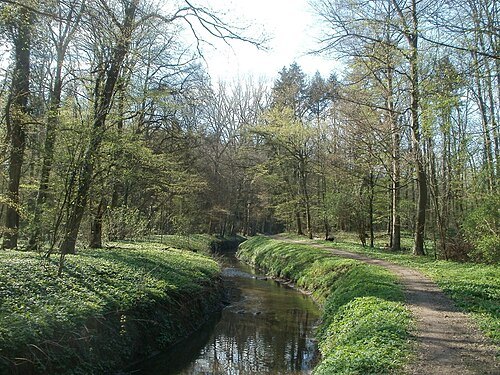
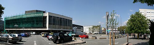 concert hall
Pfalzbau
theatre in Ludwigshafen, Germany
Getting there Nearest stop or station Berliner Platz, about 6 min on foot OpenStreetMap
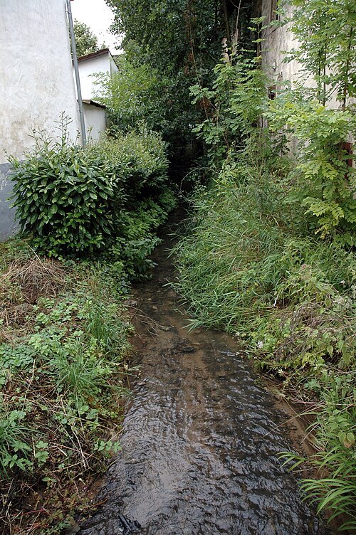


Places to eat
Nothing here matches that. Clear a filter and try again.
Opening hours and tickets: OpenStreetMap contributors. Each one shows the day a volunteer last wrote it down, so check the official site before you set out.