Frankfurt: what to see and where to eat
Everything below comes from open data and each row says where it came from. We have not been to any of these places and we do not rank them.
Filters
Things to see
- association football venue
Waldstadion
stadium in Frankfurt am Main, Germany
Getting there Nearest stop or station Frankfurt am Main Stadion, about 14 min on foot OpenStreetMap
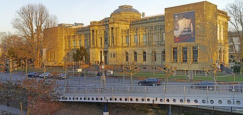 art museum
Städel Museum
art museum in Frankfurt, Germany
Getting there Nearest stop or station Bootshaus, about 4 min on foot OpenStreetMap
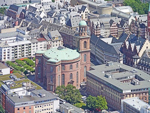 parliament building
St. Paul's Church, Frankfurt am Main
church in Frankfurt/Main, Germany
Getting there Nearest stop or station Dom/Römer, about 3 min on foot OpenStreetMap
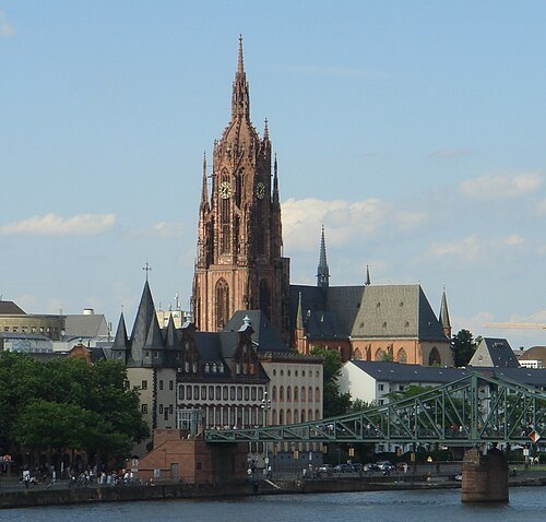 church building
Frankfurt Cathedral
Gothic church located in the centre of Frankfurt am Main, Germany
Getting there Nearest stop or station Dom/Römer, about 2 min on foot OpenStreetMap
- natural history museum
Senckenberg Museum
museum of natural history in Frankfurt
Getting there Nearest stop or station Bockenheimer Warte, about 4 min on foot OpenStreetMap
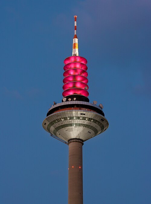
Thomas Wolf (Der Wolf im Wald) / CC BY-SA 3.0
television towerEuropaturm
television tower in Frankfurt, Germany
Getting there Nearest stop or station Ginnheim Mitte, about 13 min on foot OpenStreetMap
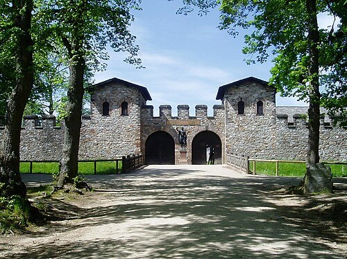 ancient roman structure
Saalburg Roman Fort
cohort castrum, part of the Limes Germanicus, and is the most completely reconstructed Roman fort in Germany
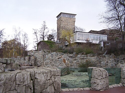
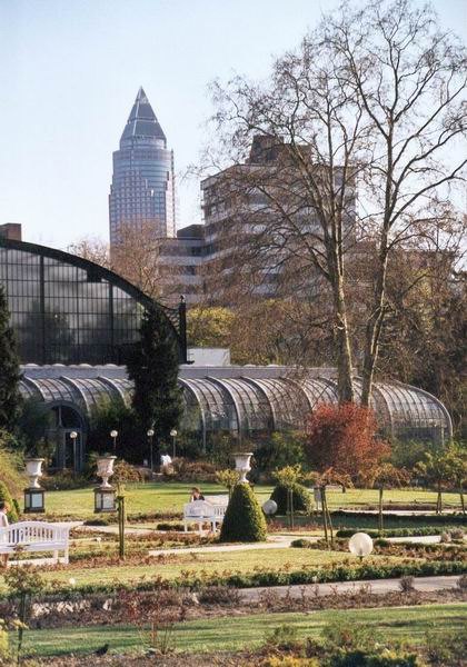 botanical garden
Palmengarten
botanical garden in Frankfurt, Hesse, Germany
Getting there Nearest stop or station Bockenheimer Warte, about 7 min on foot OpenStreetMap
- church building
St. Catherine's Church
First new Protestant church in Frankfurt after the Reformation
Getting there Nearest stop or station Hauptwache, about 1 min on foot OpenStreetMap
- museum building
Museum für Moderne Kunst
art museum in Frankfurt, Germany
Getting there Nearest stop or station Dom/Römer, about 3 min on foot OpenStreetMap
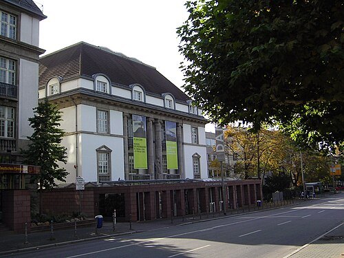 museum building
German Architecture Museum
museum
Getting there Nearest stop or station Schweizer Platz, about 5 min on foot OpenStreetMap
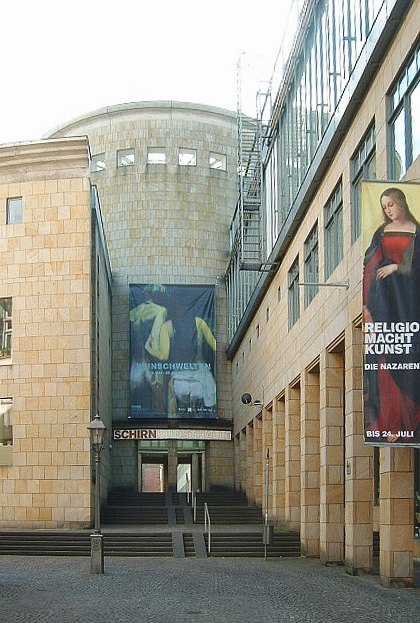 art museum
Schirn Kunsthalle Frankfurt
art museum in Frankfurt, Germany
Getting there Nearest stop or station Dom/Römer, about 1 min on foot OpenStreetMap
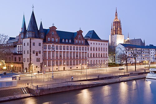 history museum
Historical Museum Frankfurt
museum in Germany
Getting there Nearest stop or station Dom/Römer, about 2 min on foot OpenStreetMap
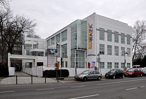 museum of decorative arts
Museum für angewandte Kunst Frankfurt
museum in Germany
Getting there Nearest stop or station Schweizer Platz, about 7 min on foot OpenStreetMap
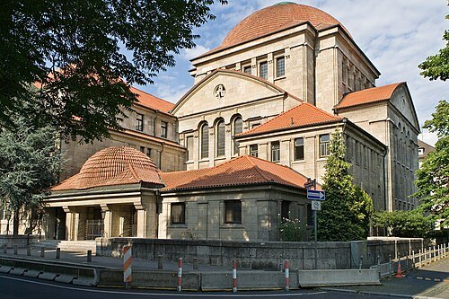
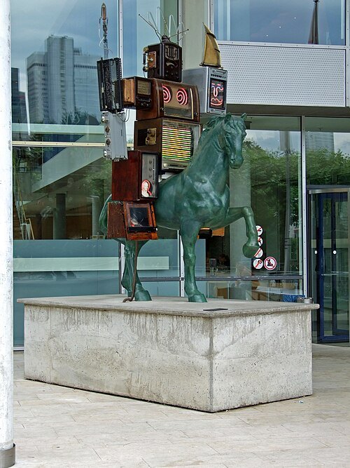 history museum
Museum for Communication Frankfurt
museum in Frankfurt, Germany
Getting there Nearest stop or station Schweizer Platz, about 6 min on foot OpenStreetMap
- history museum
Jewish Museum Frankfurt
museum in Frankfurt am Main, Germany dedicated to Jewish history and culture
Getting there Nearest stop or station Willy-Brandt-Platz, about 4 min on foot OpenStreetMap
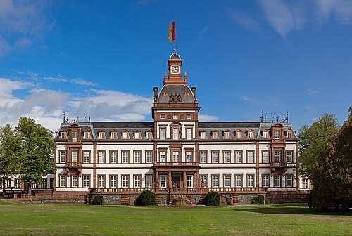 château
Philippsruhe Castle
castle in Hanau (Germany)
Getting there Nearest stop or station Steinheim/Main (Hanau), about 19 min on foot OpenStreetMap
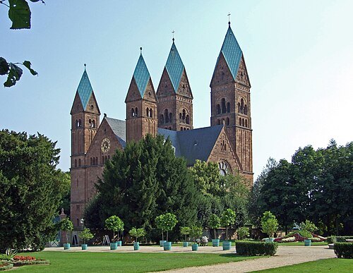 church building
Church of the Redeemer, Bad Homburg
church building in Bad Homburg vor der Höhe, Hesse, Germany
Getting there Nearest stop or station Bad Homburg Bahnhof, about 14 min on foot OpenStreetMap
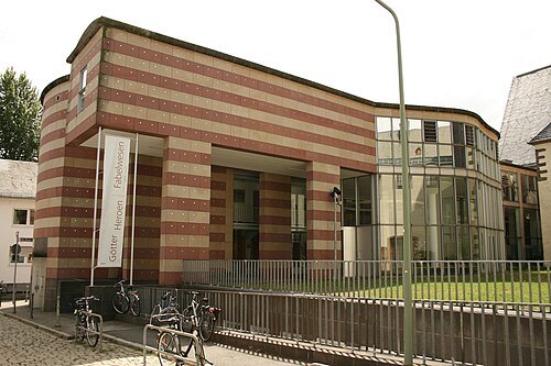
Haselburg-müller / CC BY-SA 3.0
archaeological museumFrankfurt Archaeological Museum
museum of Archaeology in Hesse
Getting there Nearest stop or station Willy-Brandt-Platz, about 4 min on foot OpenStreetMap
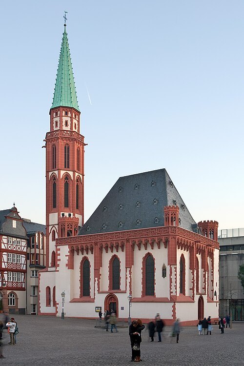 church building
Old St. Nicholas church
church building in Altstadt (Frankfurt/Main), Germany
Getting there Nearest stop or station Dom/Römer, about 2 min on foot OpenStreetMap
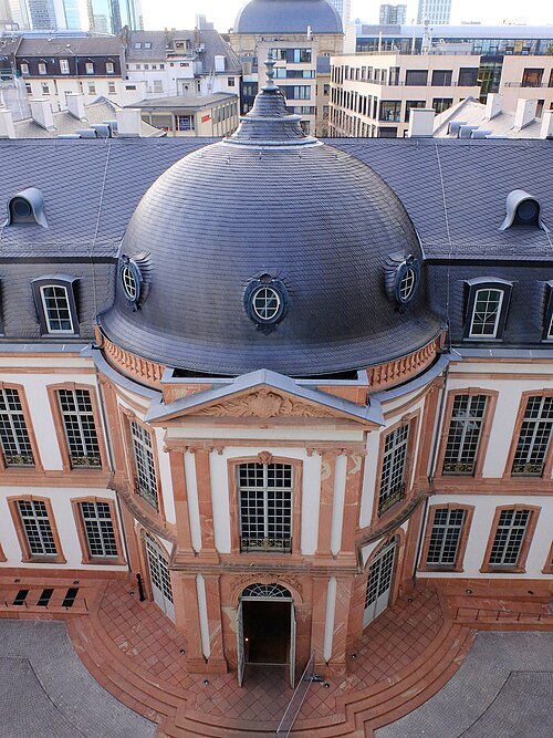 palace
Palais Thurn und Taxis
building
Getting there Nearest stop or station Hauptwache, about 2 min on foot OpenStreetMap
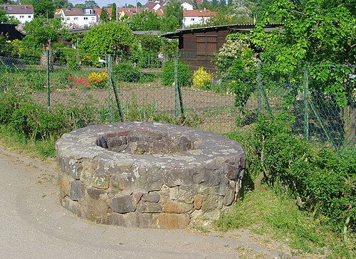 archaeological site
Nida
ancient Roman town in the northwestern suburbs of Frankfurt, Germany
Getting there Nearest stop or station Römerstadt, about 1 min on foot OpenStreetMap
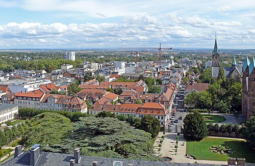 designated spa town
Bad Homburg vor der Höhe
seat of Hochtaunuskreis and city in Hesse, Germany
Getting there Nearest stop or station Bad Homburg Bahnhof, about 18 min on foot OpenStreetMap
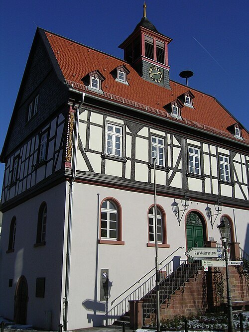
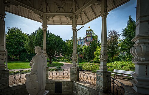
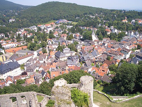 climatic health resort
Königstein im Taunus
spa town in Hochtaunuskreis district in Hesse, Germany
Getting there Nearest stop or station Königstein (Taunus), about 11 min on foot OpenStreetMap
- skyscraper
Commerzbank Tower
skyscraper in Frankfurt, Germany
Getting there Nearest stop or station Willy-Brandt-Platz, about 3 min on foot OpenStreetMap
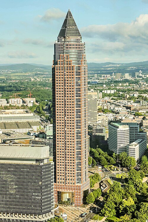
Dr. Thomas Liptak / CC BY-SA 4.0
skyscraperMesseturm
skyscraper in Frankfurt, Germany
Getting there Nearest stop or station Festhalle/Messe, about 3 min on foot OpenStreetMap
- skyscraper
Main Tower
skyscraper in Frankfurt, Germany
Getting there Nearest stop or station Taunusanlage, about 4 min on foot OpenStreetMap
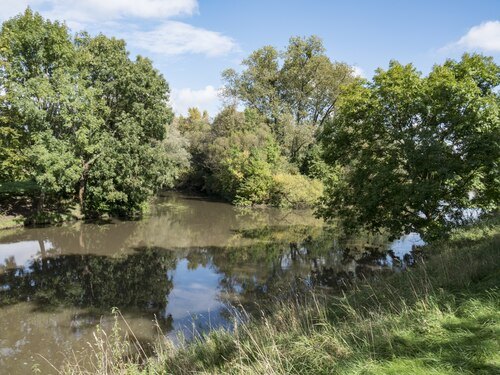 river
Nidda
river in Germany
Getting there Nearest stop or station Fähre Höchst, about 2 min on foot OpenStreetMap
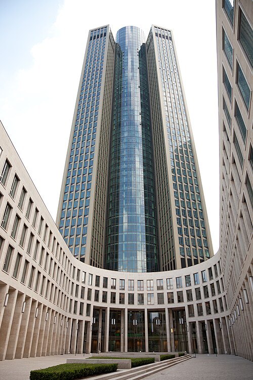
Thomas Wolf (Der Wolf im Wald) / CC BY-SA 3.0
skyscraperTower 185
skyscraper in Frankfurt, Germany
Getting there Nearest stop or station Festhalle/Messe, about 2 min on foot OpenStreetMap
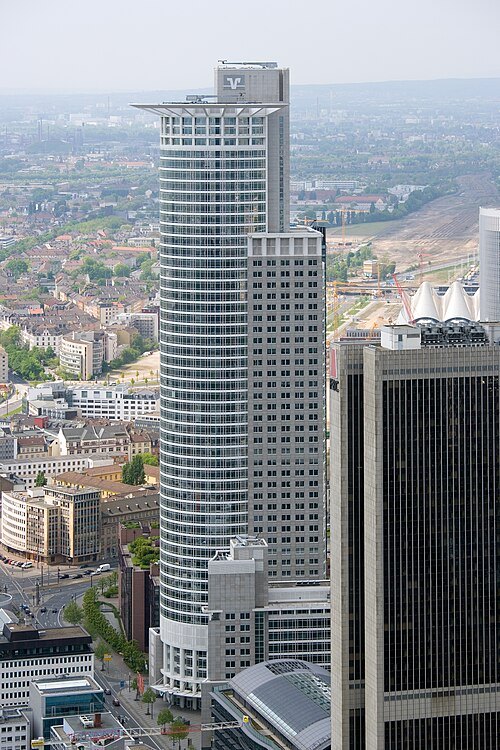 skyscraper
Westendstrasse 1
skyscraper in Frankfurt, Germany
Getting there Nearest stop or station Central Station, about 5 min on foot OpenStreetMap
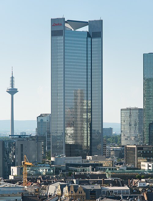 skyscraper
Trianon
skyscraper in Frankfurt, Germany
Getting there Nearest stop or station Taunusanlage, about 3 min on foot OpenStreetMap
- skyscraper
Eurotower
skyscraper in Frankfurt, Germany
Getting there Nearest stop or station Willy-Brandt-Platz, about 1 min on foot OpenStreetMap
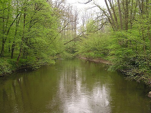 river
Kinzig
right tributary of the Main in Hesse, Germany
Getting there Nearest stop or station Hanau West, about 9 min on foot OpenStreetMap
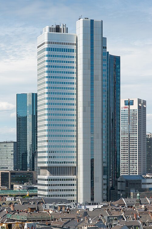 skyscraper
Silberturm
"Silver Tower", skyscraper in Frankfurt, Germany
Getting there Nearest stop or station Willy-Brandt-Platz, about 6 min on foot OpenStreetMap
Michael König (User:Magadan) → Message. / CC BY-SA 3.0
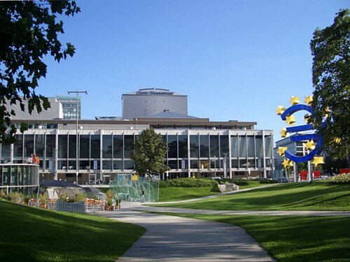
opera houseOper Frankfurt
Opera company in Frankfurt am Main
Getting there Nearest stop or station Willy-Brandt-Platz, about 2 min on foot OpenStreetMap
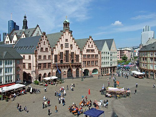 square
Römerberg
square in Frankfurt, Germany
Getting there Nearest stop or station Dom/Römer, about 2 min on foot OpenStreetMap
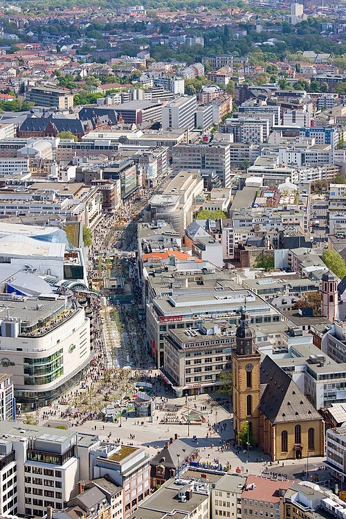 shopping street
Zeil
shopping street in Frankfurt, Germany
Getting there Nearest stop or station Konstablerwache, about 4 min on foot OpenStreetMap
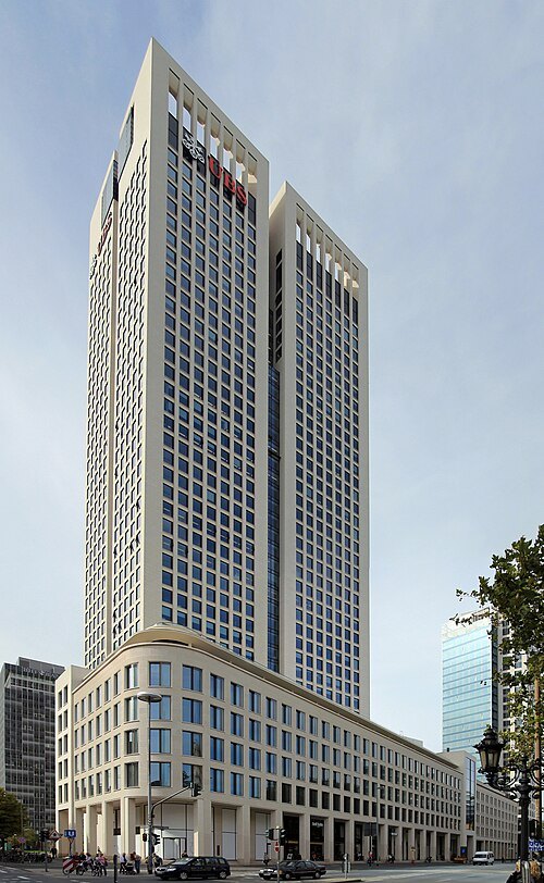
OpernturmVoll.jpg: Adornix derivative work: Dontworry / Public domain
skyscraperOpernTurm
skyscraper in Frankfurt, Germany
Getting there Nearest stop or station Alte Oper, about 2 min on foot OpenStreetMap
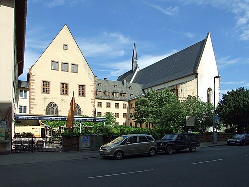 old town
Altstadt
quarter of Frankfurt am Main
Getting there Nearest stop or station Konstablerwache, about 3 min on foot OpenStreetMap
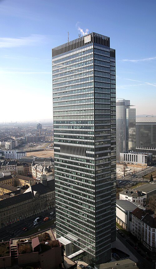
Dzbank-kmmo at German Wikipedia / Public domain
tower blockCity-Haus
high-rise in Frankfurt, Germany
Getting there Nearest stop or station Festhalle/Messe, about 5 min on foot OpenStreetMap
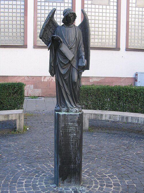
Reinhard Dietrich / CC BY-SA 3.0
sculptureFrankfurter Engel
sculpture
Getting there Nearest stop or station Konstablerwache, about 4 min on foot OpenStreetMap
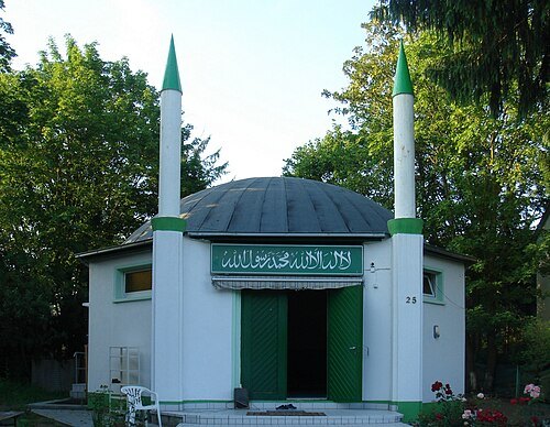
- association football venue
Stadion am Bornheimer Hang
multi-use stadium in Frankfurt am Main, Hesse, Germany
Getting there Nearest stop or station Johanna-Tesch-Platz, about 3 min on foot OpenStreetMap
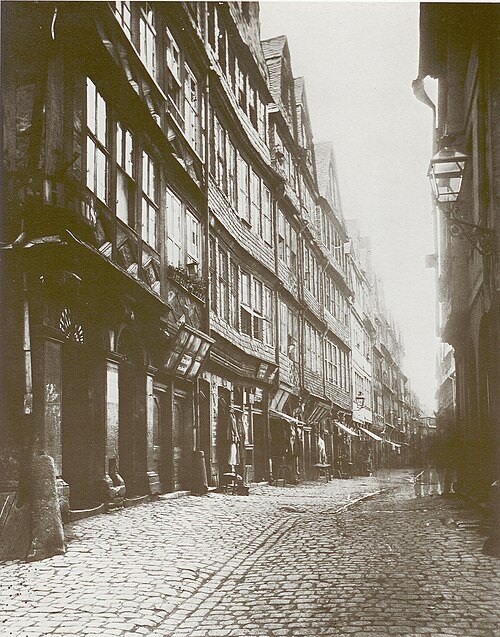 museum
Frankfurter Judengasse
Historical Jewish ghetto in Frankfurt, Germany
Getting there Nearest stop or station Konstablerwache, about 2 min on foot OpenStreetMap
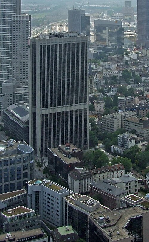 skyscraper
Frankfurter Büro Center
architectural structure
Getting there Nearest stop or station Taunusanlage, about 6 min on foot OpenStreetMap
- association football venue
Stadion am Bieberer Berg
football stadium
Getting there Nearest stop or station Offenbach-Bieber, about 13 min on foot OpenStreetMap
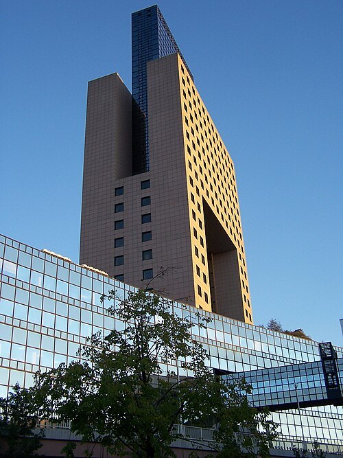 tower block
Messe Torhaus
highrise in Frankfurt, Germany
Getting there Nearest stop or station Frankfurt am Main Messe, about 1 min on foot OpenStreetMap
- tower block
Japan Center
highrise in Frankfurt, Germany
Getting there Nearest stop or station Willy-Brandt-Platz, about 4 min on foot OpenStreetMap
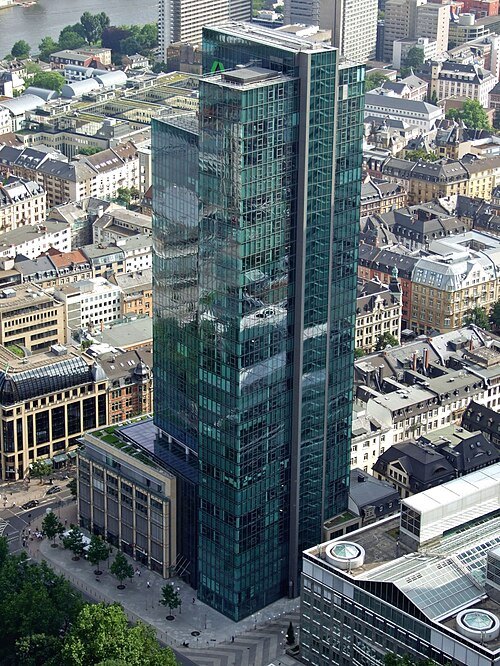 tower block
Gallileo
highrise in Frankfurt, Germany
Getting there Nearest stop or station Willy-Brandt-Platz, about 4 min on foot OpenStreetMap
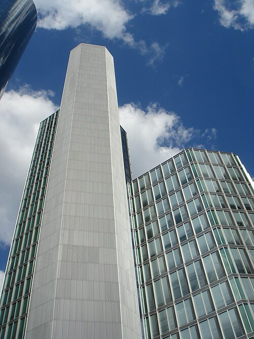 skyscraper
Garden Tower
architectural structure
Getting there Nearest stop or station Willy-Brandt-Platz, about 5 min on foot OpenStreetMap
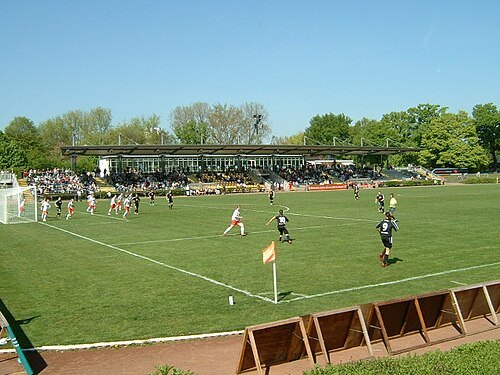
Peng 11:57, 23 April 2007 (UTC) / CC BY-SA 3.0
association football venueStadion am Brentanobad
football stadium
Getting there Nearest stop or station Fischstein, about 10 min on foot OpenStreetMap
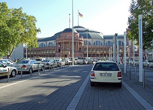 music venue
Festhalle Frankfurt
multi-purpose arena located in Frankfurt, Germany
Getting there Nearest stop or station Festhalle/Messe, about 6 min on foot OpenStreetMap
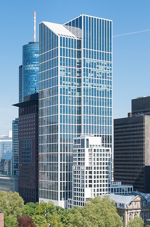 skyscraper
TaunusTurm
skyscraper in Frankfurt, Germany
Getting there Nearest stop or station Willy-Brandt-Platz, about 3 min on foot OpenStreetMap
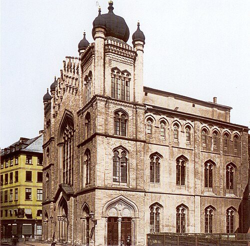 synagogue
Hauptsynagoge
in Frankfurt
Getting there Nearest stop or station Konstablerwache, about 2 min on foot OpenStreetMap


Places to eat
Nothing here matches that. Clear a filter and try again.
Opening hours and tickets: OpenStreetMap contributors. Each one shows the day a volunteer last wrote it down, so check the official site before you set out.