Erfurt: what to see and where to eat
Everything below comes from open data and each row says where it came from. We have not been to any of these places and we do not rank them.
Filters
Things to see
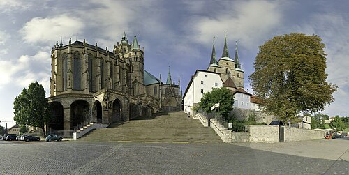
User:MatthiasKabel / CC BY-SA 3.0
catholic cathedralErfurt Cathedral
church in Thuringia, Germany
Getting there Nearest stop or station Erfurt, Busbahnhof, about 17 min on foot OpenStreetMap
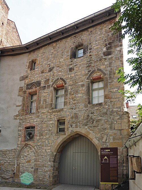
Heinrich Stürzl / CC BY-SA 4.0
synagogueOld Synagogue (Erfurt)
medieval synagogue building
Getting there Nearest stop or station Erfurt, Busbahnhof, about 13 min on foot OpenStreetMap
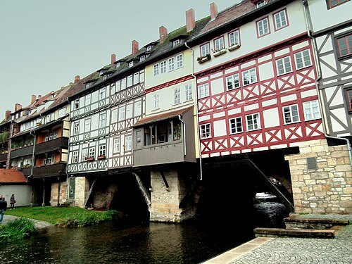 deck arch bridge
Krämerbrücke
bridge in Erfurt, Germany
Getting there Nearest stop or station Erfurt, Busbahnhof, about 12 min on foot OpenStreetMap
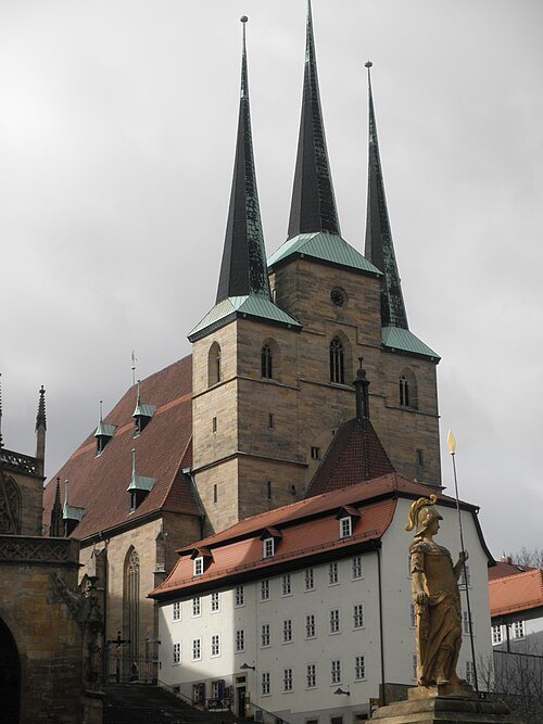 parish church
St. Severi (Erfurt)
church in Thuringia, Germany
Getting there Nearest stop or station Erfurt, Busbahnhof, about 18 min on foot OpenStreetMap
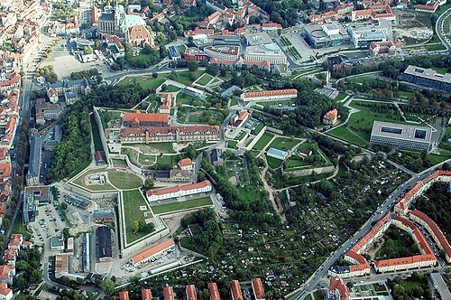
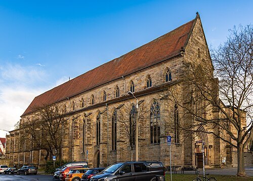 church building
Preacher's Church
church building in the Old Town of Erfurt, Germany
Getting there Nearest stop or station Erfurt, Busbahnhof, about 11 min on foot OpenStreetMap
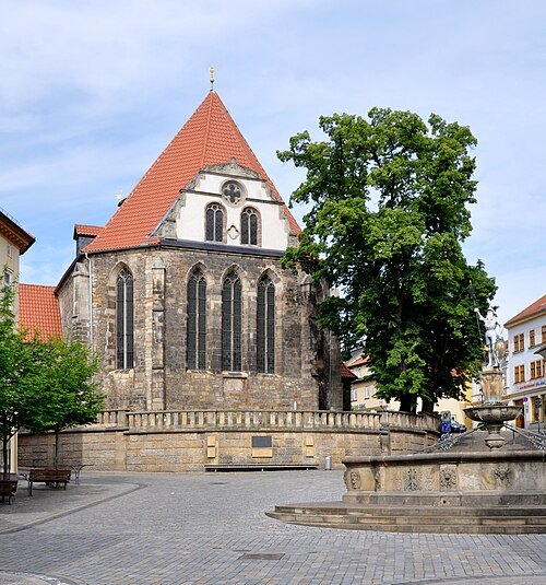
Photo: Andreas Praefcke / Public domain
church buildingBachkirche Arnstadt
Protestant church in Germany
Getting there Nearest stop or station Arnstadt, Bustreff, about 2 min on foot OpenStreetMap
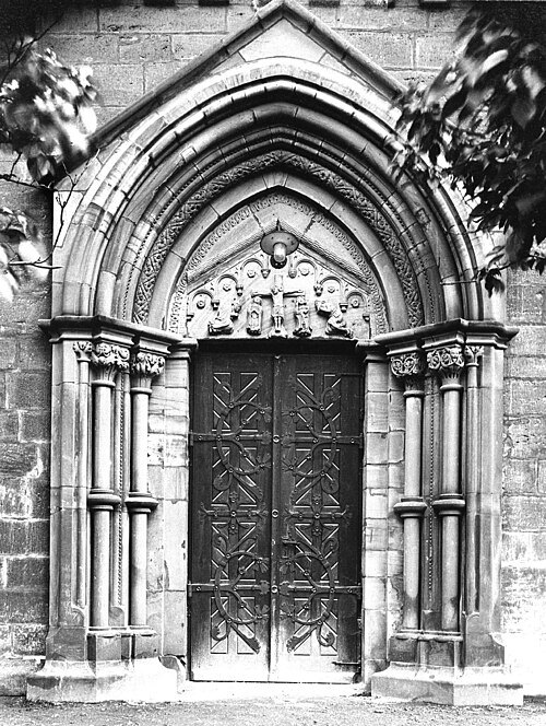
Unknown authorUnknown author / Public domain
church buildingChurch of Our Lady
church building in Arnstadt, Thuringia, Germany
Getting there Nearest stop or station Arnstadt, Bustreff, about 7 min on foot OpenStreetMap
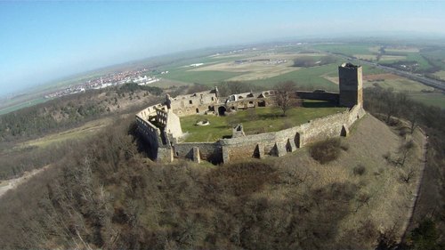 castle ruin
Burg Gleichen
castle ruin in Germany
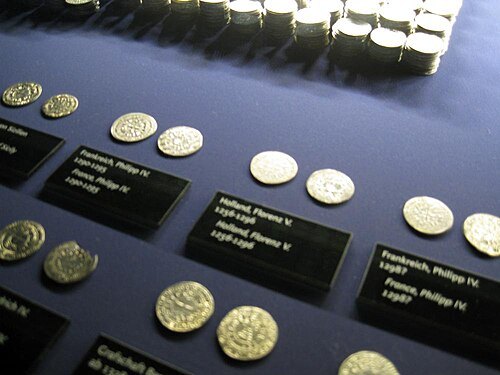
ErfurterFan (talk) / Public domain
archaeological findErfurt Treasure
hoard found in Germany
Getting there Nearest stop or station Erfurt, Busbahnhof, about 13 min on foot OpenStreetMap
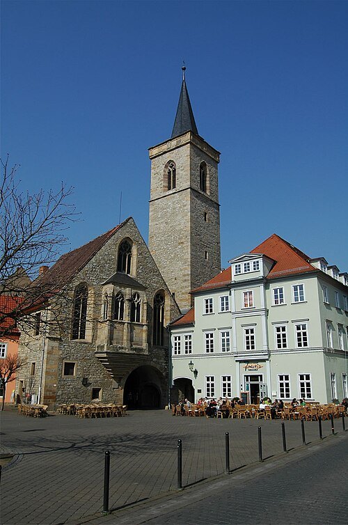 church building
Ägidienkirche (Erfurt)
church
Getting there Nearest stop or station Erfurt, Busbahnhof, about 11 min on foot OpenStreetMap
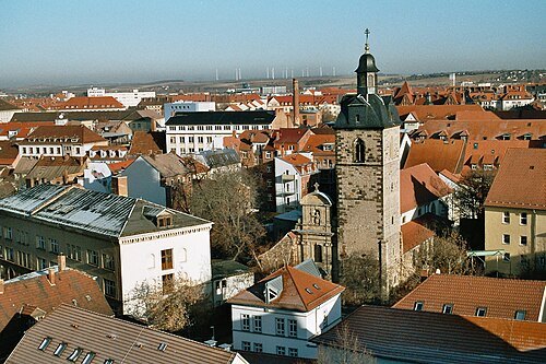 filial church
Schottenkirche (Erfurt)
church in Thuringia, Germany
Getting there Nearest stop or station Erfurt, Busbahnhof, about 12 min on foot OpenStreetMap
- monastery
St. Augustine's Monastery
former church and monastery complex in Erfurt, Germany
Getting there Nearest stop or station Erfurt, Busbahnhof, about 16 min on foot OpenStreetMap
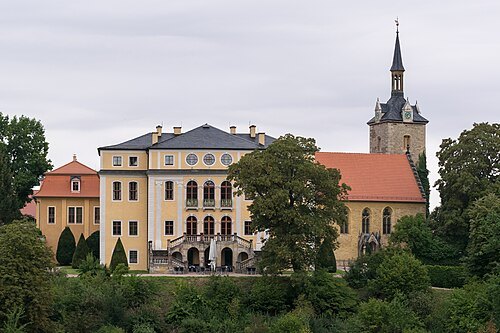
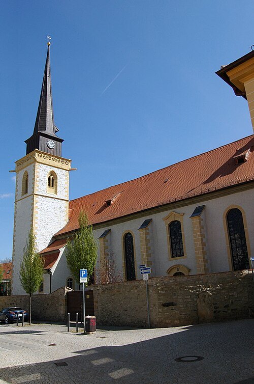
- monastery
Kloster Ichtershausen
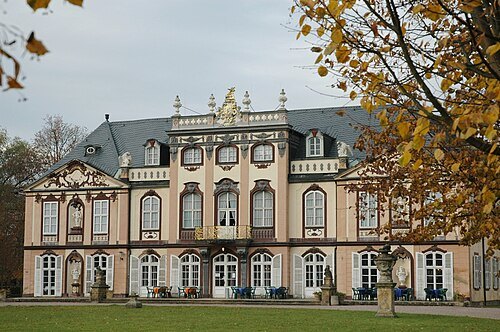
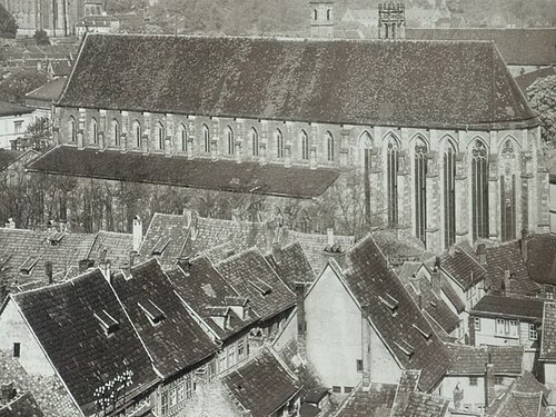 church building
Barfüßerkirche
church building in Erfurt, Thuringia, Germany
Getting there Nearest stop or station Erfurt, Busbahnhof, about 10 min on foot OpenStreetMap
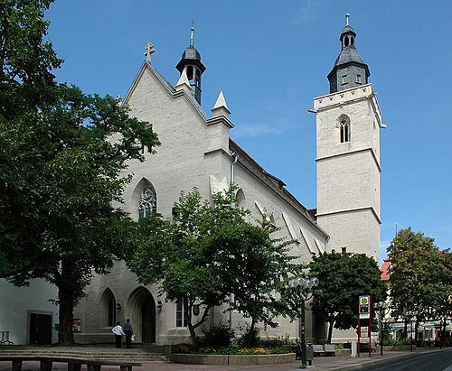 parish church
Wigbertikirche
parish church
Getting there Nearest stop or station Erfurt, Busbahnhof, about 9 min on foot OpenStreetMap
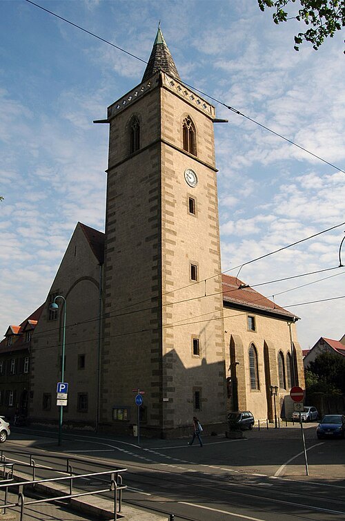
- natural history museum
Natural History Museum of Erfurt
museum in Germany
Getting there Nearest stop or station Erfurt, Busbahnhof, about 14 min on foot OpenStreetMap
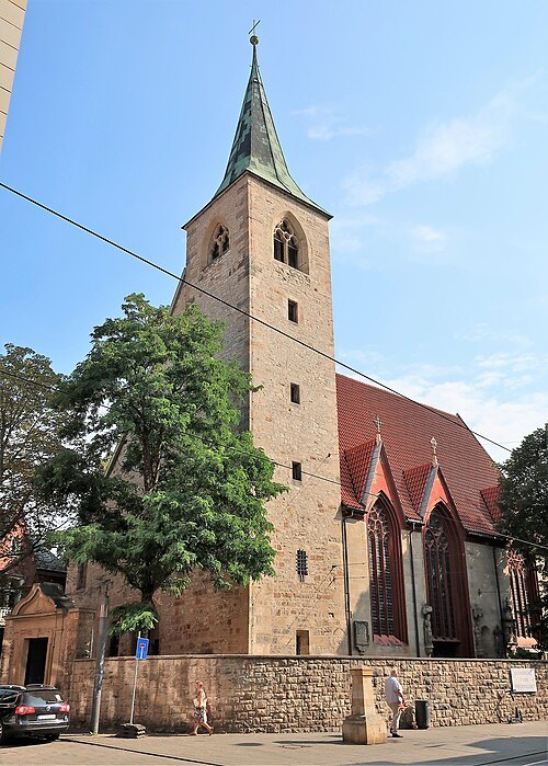
Bärwinkel,Klaus / CC BY-SA 4.0
parish churchSt. Lorenz (Erfurt)
church in Thuringia, Germany
Getting there Nearest stop or station Erfurt, Busbahnhof, about 8 min on foot OpenStreetMap
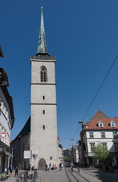 church building
Allerheiligenkirche (Erfurt)
church building in Erfurt, Germany
Getting there Nearest stop or station Erfurt, Busbahnhof, about 15 min on foot OpenStreetMap
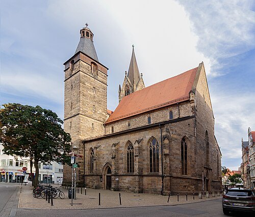 church building
Kaufmannskirche (Erfurt)
church building in Erfurt, Germany
Getting there Nearest stop or station Erfurt, Busbahnhof, about 8 min on foot OpenStreetMap
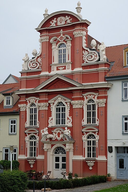 monastery
Kartause Erfurt
church building in Erfurt, Germany
Getting there Nearest stop or station Erfurt Hauptbahnhof, about 13 min on foot OpenStreetMap
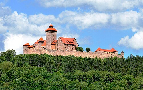
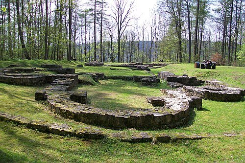 monastery
Walpurgiskloster
human settlement in Germany
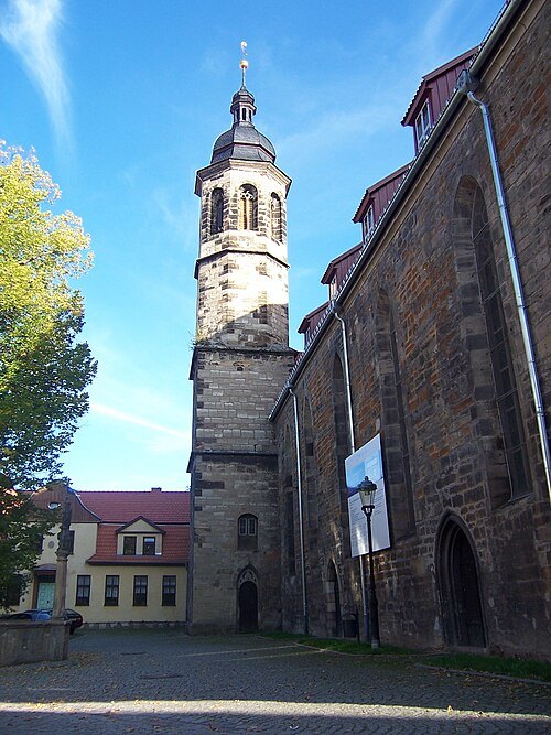
EliasDüsentrieb / CC BY-SA 3.0
church buildingOberkirche (Arnstadt)
church building in Arnstadt, Germany
Getting there Nearest stop or station Arnstadt, Bustreff, about 5 min on foot OpenStreetMap
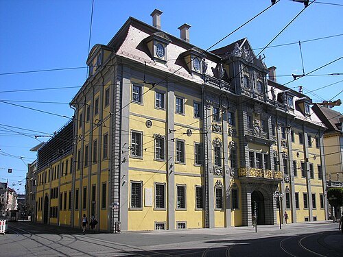 art museum
Angermuseum
museum in Erfurt, Germany
Getting there Nearest stop or station Erfurt, Busbahnhof, about 6 min on foot OpenStreetMap
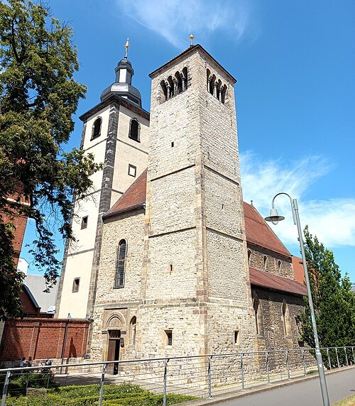 church building
Reglerkirche (Erfurt)
church building in Altstadt (Erfurt), Germany
Getting there Nearest stop or station Erfurt, Busbahnhof, about 3 min on foot OpenStreetMap
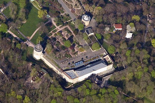 fortress
Citadel Cyriaksburg
fort in Erfurt, Thuringia, Germany
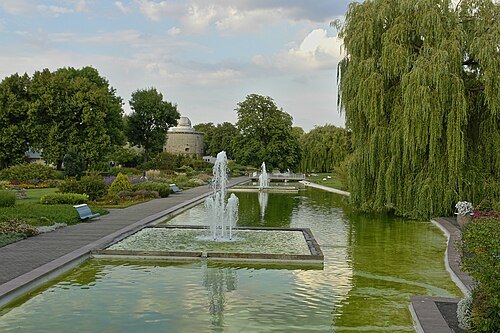
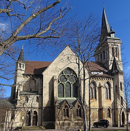 church building
St. Thomas' Church
church building in Erfurt, Germany
Getting there Nearest stop or station Erfurt Hauptbahnhof, about 14 min on foot OpenStreetMap
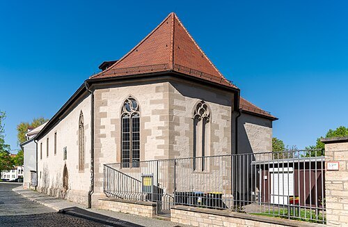 church building
Brunnenkirche (Erfurt)
church
Getting there Nearest stop or station Erfurt Hauptbahnhof, about 16 min on foot OpenStreetMap
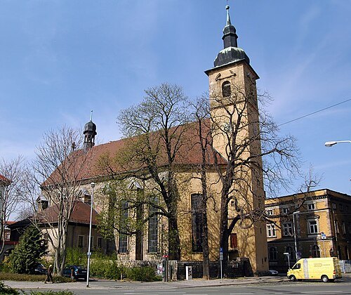 filial church
Cruciskirche (Erfurt)
church in Thuringia, Germany
Getting there Nearest stop or station Erfurt Hauptbahnhof, about 14 min on foot OpenStreetMap
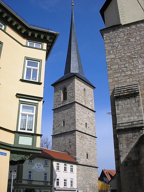 church tower
Jakobsturm
Getting there Nearest stop or station Arnstadt, Bustreff, about 7 min on foot OpenStreetMap
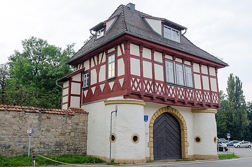 city gate
Fischtor
Getting there Nearest stop or station Arnstadt Süd, about 6 min on foot OpenStreetMap
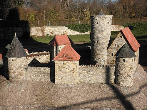 castle
Kevernburg
1100 castle in Arnstadt, Thuringia, Germany
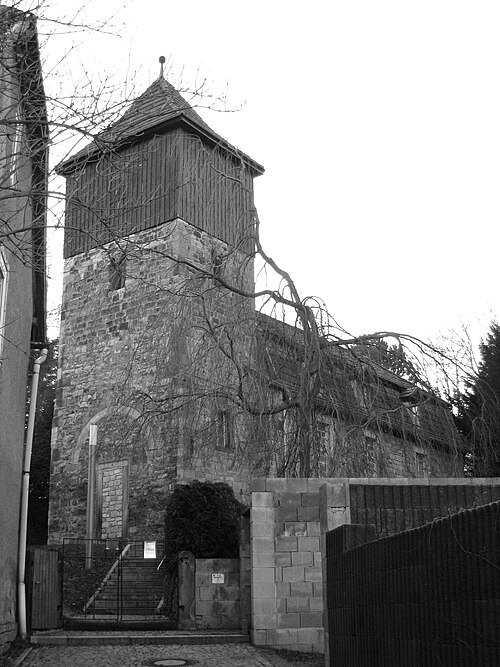 church building
St. Johannis (Angelhausen)
church building in Arnstadt, Germany
Getting there Nearest stop or station Arnstadt Süd, about 17 min on foot OpenStreetMap
 river
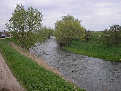
Gera
river in Thüringen, Germany
Getting there Nearest stop or station Plaue (Thür), about 15 min on foot OpenStreetMap
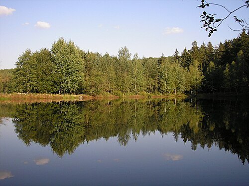
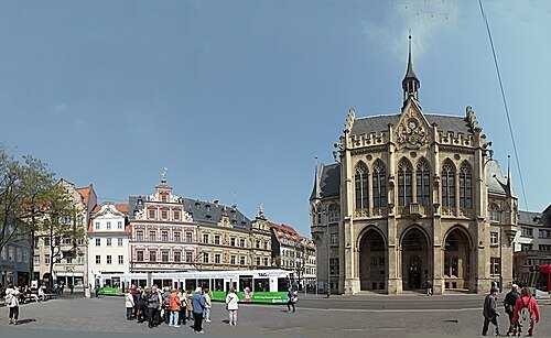 square
Fischmarkt
square in Erfurt, Germany
Getting there Nearest stop or station Erfurt, Busbahnhof, about 12 min on foot OpenStreetMap
- synagogue
Synagogue of Arnstadt
Getting there Nearest stop or station Arnstadt, Bustreff, about 2 min on foot OpenStreetMap
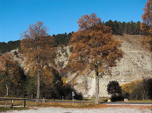
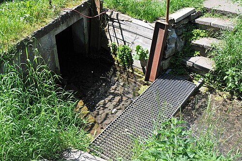 river
Rot
river in Germany
Getting there Nearest stop or station Gotha, about 12 min on foot OpenStreetMap
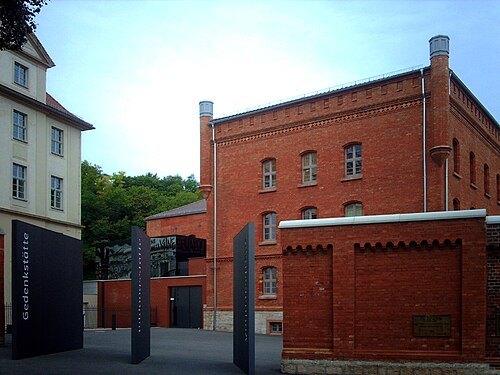 memorial
Memorial and Education Centre Andreasstrasse
Stasi Prison Museum
Getting there Nearest stop or station Erfurt, Busbahnhof, about 18 min on foot OpenStreetMap
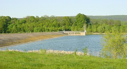
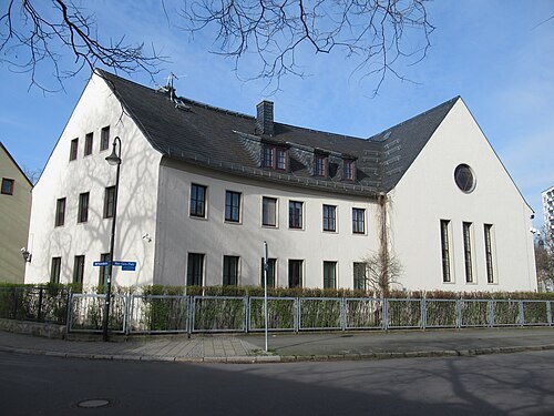 synagogue
Neue Synagoge (Erfurt)
New synagogue on the site of the Große Synagoge torched by Nazis in 1938
Getting there Nearest stop or station Erfurt Hauptbahnhof, about 12 min on foot OpenStreetMap
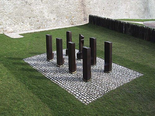
Thomas Nicolai / AAA. / CC BY-SA 3.0
monumentDenkmal für den unbekannten Wehrmachtsdeserteur
monument
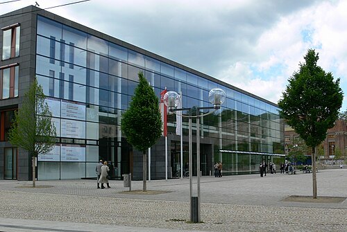
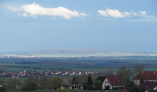 mountain range
Fahner Höhe
mountain range
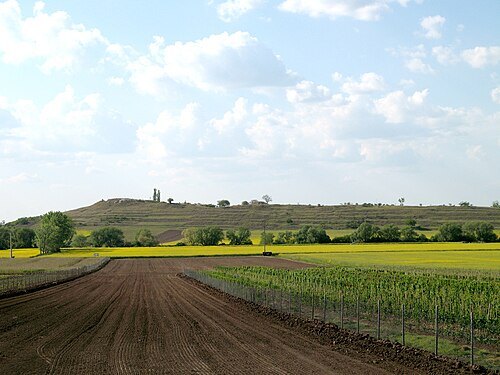 mountain
Schwellenburg
mountain in Germany
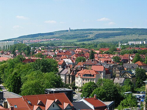
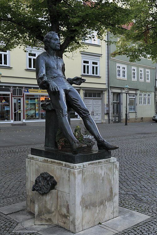 monument
Bach memorial Arnstadt
monument in Arnstadt, Germany
Getting there Nearest stop or station Arnstadt, Bustreff, about 3 min on foot OpenStreetMap


Places to eat
Nothing here matches that. Clear a filter and try again.
Opening hours and tickets: OpenStreetMap contributors. Each one shows the day a volunteer last wrote it down, so check the official site before you set out.