Dresden: what to see and where to eat
Everything below comes from open data and each row says where it came from. We have not been to any of these places and we do not rank them.
Filters
Things to see
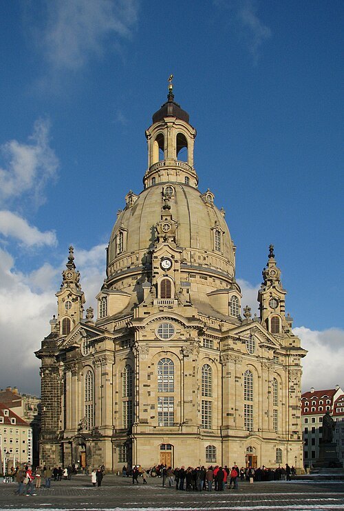 church building
Church of Our Lady
Lutheran church in Dresden, Germany
Getting there Nearest stop or station Dresden Mitte, about 20 min on foot OpenStreetMap
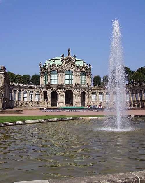
--Immanuel Giel 11:54, 22 September 2005 (UTC) / CC BY-SA 3.0
ruinsZwinger
palace in Dresden, eastern Germany
Getting there Nearest stop or station Dresden Mitte, about 12 min on foot OpenStreetMap
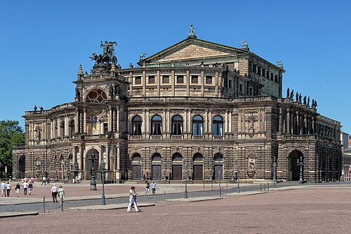 concert hall
Semperoper
opera house in Dresden
Getting there Nearest stop or station Dresden Mitte, about 12 min on foot OpenStreetMap
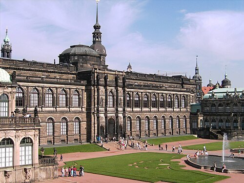 art museum
Gemäldegalerie Alte Meister
art gallery in Dresden, Germany
Getting there Nearest stop or station Dresden Mitte, about 12 min on foot OpenStreetMap
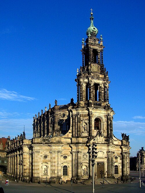 church building
Dresden Cathedral
Catholic cathedral in Dresden, Germany
Getting there Nearest stop or station Dresden Mitte, about 15 min on foot OpenStreetMap
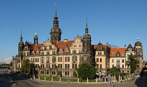 château
Dresden Castle
castle in Dresden, Germany
Getting there Nearest stop or station Dresden Mitte, about 15 min on foot OpenStreetMap
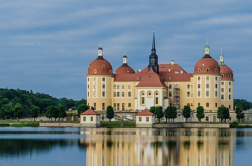
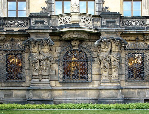 museum
Green Vault
museum in Dresden, Germany
Getting there Nearest stop or station Dresden Mitte, about 14 min on foot OpenStreetMap
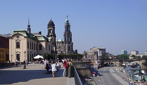 street
Brühl's Terrace
historic architectural ensemble in Dresden, Germany
Getting there Nearest stop or station Dresden Mitte, about 18 min on foot OpenStreetMap
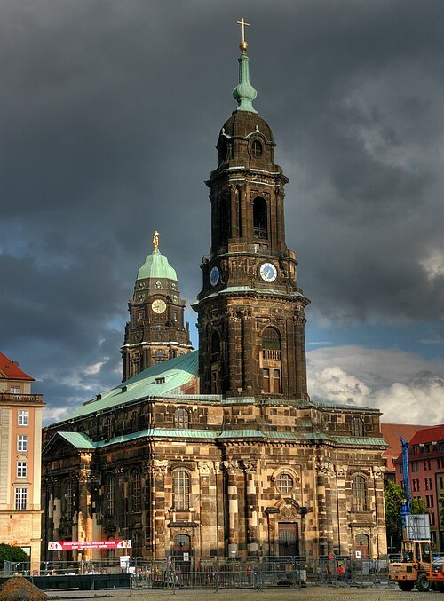 church building
Kreuzkirche
church in Dresden
Getting there Nearest stop or station Dresden Hbf, about 17 min on foot OpenStreetMap
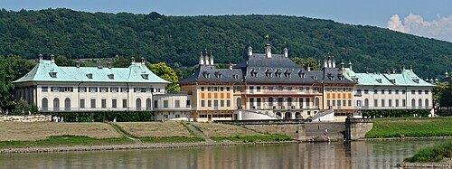 château
Pillnitz Castle
château
Getting there Nearest stop or station Dampferanlegestelle Pillnitz, about 6 min on foot OpenStreetMap
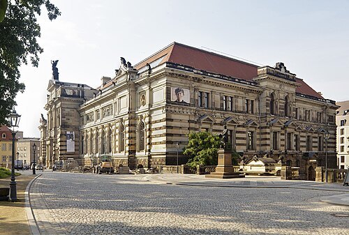
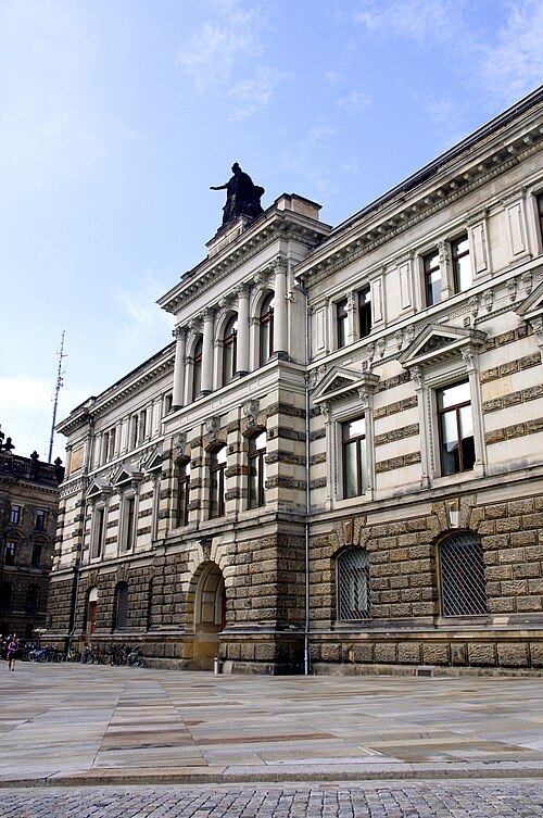
Flickr user Ben Unleashed! / CC BY-SA 2.0
art museumGalerie Neue Meister
art museum in Dresden, Germany; part of Staatliche Kunstsammlungen Dresden
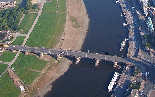
Wolfgang Pehlemann / CC BY-SA 3.0
road bridgeAugustus Bridge
bridge over the river Elbe
Getting there Nearest stop or station Dresden Mitte, about 17 min on foot OpenStreetMap
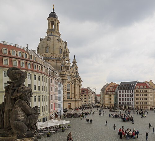
CEphoto, Uwe Aranas / CC BY-SA 3.0
squareNeumarkt
square in Dresden, Germany
Getting there Nearest stop or station Dresden Mitte, about 19 min on foot OpenStreetMap
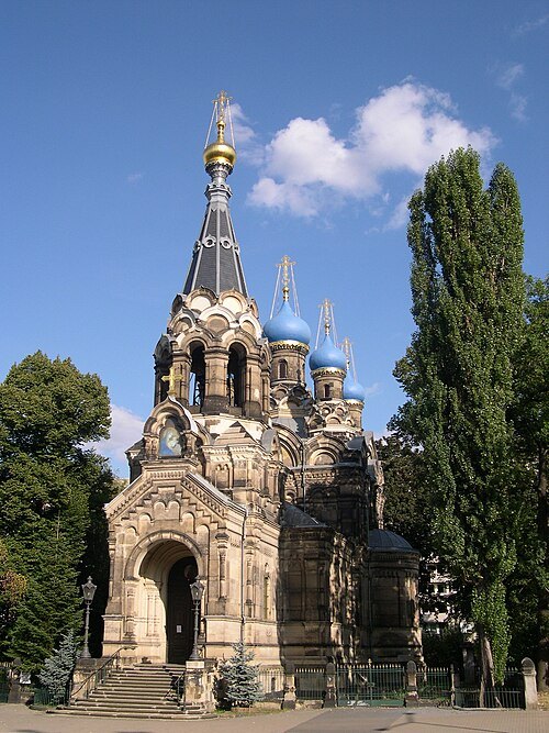
Bernd Hutschenreuther / Public domain
russian orthodox church buildingRussian Orthodox Church
church in Dresden, Germany
Getting there Nearest stop or station Hauptbahnhof, about 11 min on foot OpenStreetMap
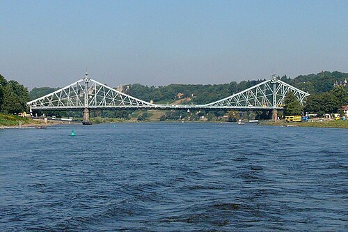 steel bridge
Loschwitz Bridge
bridge over the river Elbe
Getting there Nearest stop or station Dampferanlegestelle Loschwitz, about 1 min on foot OpenStreetMap
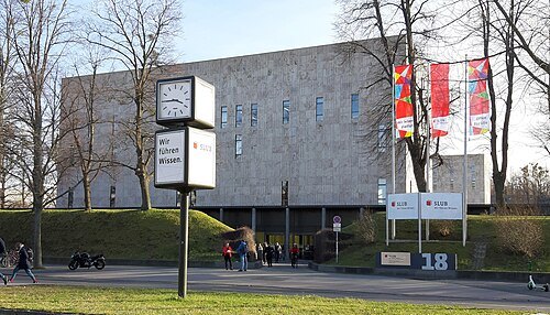 state library of germany
Saxon State and University Library, Dresden
combined state and university library in Dresden, Saxony, Germany
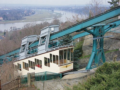
Norbert Aepli, Switzerland (noebu) / CC BY 2.5
funicularDresden Suspension Railway
funicular suspension railway in Dresden, Germany
Getting there Nearest stop or station Dampferanlegestelle Loschwitz, about 8 min on foot OpenStreetMap
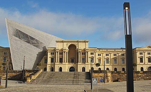
Bundeswehr-Fotos Wir.Dienen.Deutschland. / CC BY 2.0
history museumBundeswehr Military History Museum
military history museum in Dresden, Germany
Getting there Nearest stop or station Dresden Industriegelände, about 16 min on foot OpenStreetMap
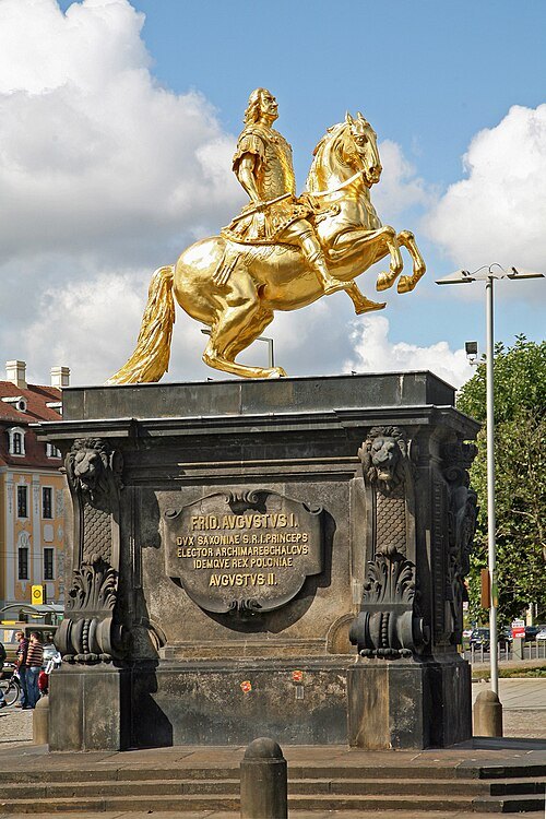 monument
Golden Rider
equestrian statue in Dresden
Getting there Nearest stop or station Dresden-Neustadt, about 13 min on foot OpenStreetMap
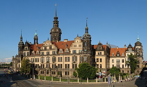 museum
Kupferstich-Kabinett Dresden
collection of prints of the Staatliche Kunstsammlungen Dresden
Getting there Nearest stop or station Dresden Mitte, about 15 min on foot OpenStreetMap
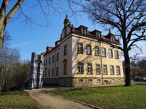 museum
Sonnenstein Euthanasia Centre
Nazi killing facility at Sonnenstein Castle
Getting there Nearest stop or station Pirna, about 13 min on foot OpenStreetMap
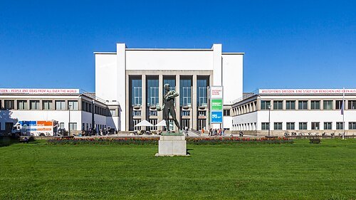
Raimond Spekking / CC BY-SA 4.0
museumGerman Hygiene Museum
museum in Dresden
Getting there Nearest stop or station Dresden Hbf, about 17 min on foot OpenStreetMap
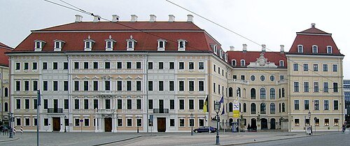 palace hotel
Taschenbergpalais Dresden
building
Getting there Nearest stop or station Dresden Mitte, about 14 min on foot OpenStreetMap
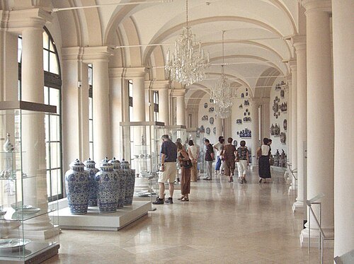
de:Benutzer:Dr. Meierhofer / CC BY-SA 3.0
museumDresden Porcelain Collection
museum in Germany
Getting there Nearest stop or station Dresden Mitte, about 13 min on foot OpenStreetMap
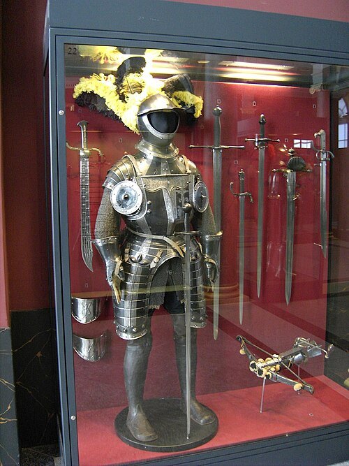 museum
Dresden Armory
museum in Dresden, Germany
Getting there Nearest stop or station Dresden Mitte, about 16 min on foot OpenStreetMap
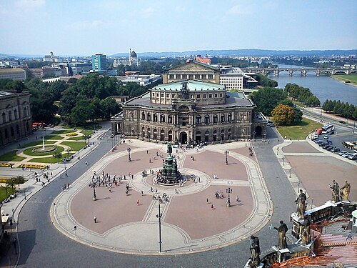
Schriftarchitekt / CC BY-SA 4.0
squareTheaterplatz
square in Dresden, Germany
Getting there Nearest stop or station Dresden Mitte, about 13 min on foot OpenStreetMap
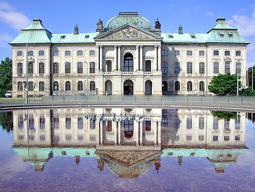 palace
Japanisches Palais
building in Dresden
Getting there Nearest stop or station Dresden-Neustadt, about 11 min on foot OpenStreetMap
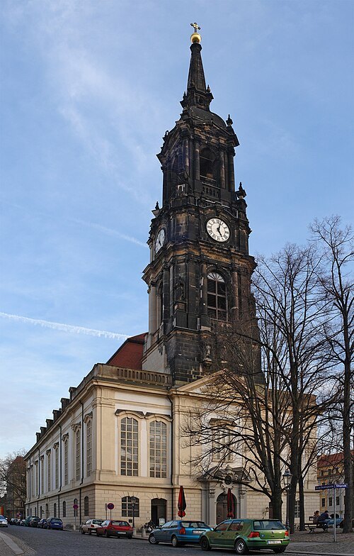 church building
Dreikönigskirche
church in Dresden
Getting there Nearest stop or station Dresden-Neustadt, about 9 min on foot OpenStreetMap
- funicular
Dresden Funicular Railway
railway in Dresden, Germany
Getting there Nearest stop or station Dampferanlegestelle Loschwitz, about 7 min on foot OpenStreetMap
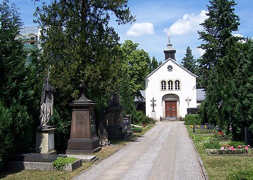 cemetery
Alter Katholischer Friedhof
heritage cemetery in Dresden, Germany
Getting there Nearest stop or station Dresden Mitte, about 9 min on foot OpenStreetMap
- zoo
Dresden Zoo
zoo in Dresden, Germany
Getting there Nearest stop or station Dresden-Strehlen, about 14 min on foot OpenStreetMap
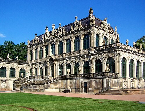 museum
Mathematisch-Physikalischer Salon
museum of historic clocks and scientific instruments
Getting there Nearest stop or station Dresden Mitte, about 11 min on foot OpenStreetMap
Verkehrsmuseum Dresden / CC BY-SA 4.0
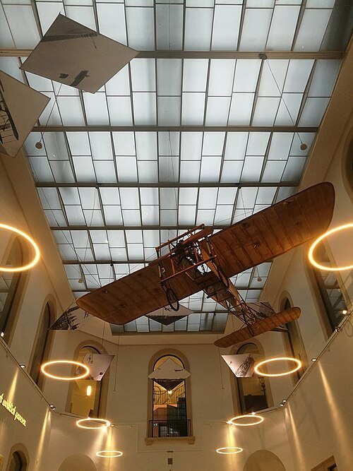
automobile museumDresden Transport Museum
museum in Dresden, Germany
Getting there Nearest stop or station Dresden Mitte, about 18 min on foot OpenStreetMap
Museumsfotograf / CC BY-SA 4.0
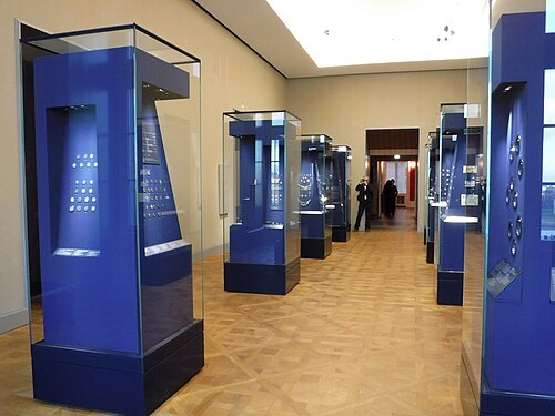
museumMünzkabinett
museum in Dresden, Germany
Getting there Nearest stop or station Dresden Mitte, about 15 min on foot OpenStreetMap
 square
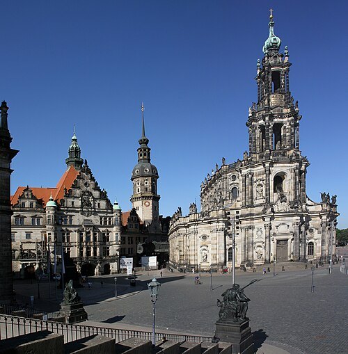
Schloßplatz
square in Dresden
Getting there Nearest stop or station Dresden Mitte, about 16 min on foot OpenStreetMap
- association football venue
Rudolf-Harbig-Stadion
football stadium
Getting there Nearest stop or station Dresden Hbf, about 17 min on foot OpenStreetMap
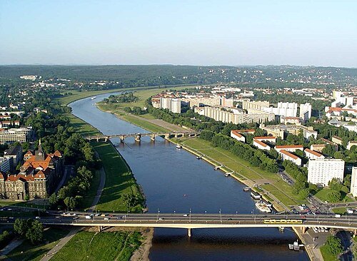
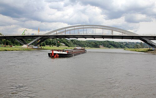 road bridge
Waldschlösschen Bridge
road bridge across the Elbe river in Dresden, Germany
Getting there Nearest stop or station Fähre Johannstadt-Neustadt, about 12 min on foot OpenStreetMap
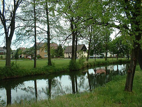
Shelog at German Wikipedia (Original text: Iris Schilke) / CC BY-SA 3.0
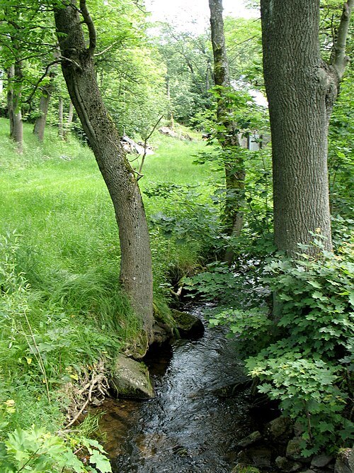
riverWesenitz
river in Germany
Getting there Nearest stop or station Heidenau-Großsedlitz, about 5 min on foot OpenStreetMap
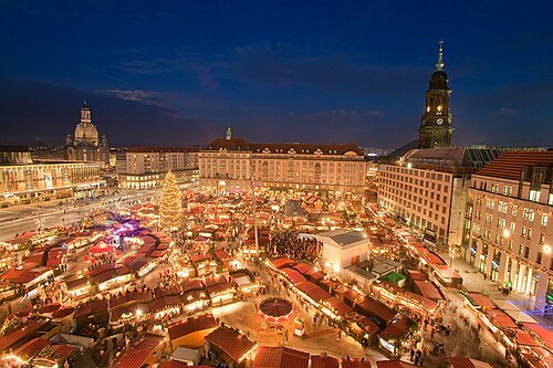 christmas market
Striezelmarkt
annual Christmas market in Dresden, Saxony, Germany
Getting there Nearest stop or station Dresden Hbf, about 18 min on foot OpenStreetMap
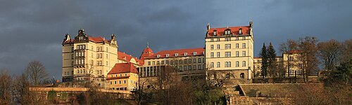 château
Sonnenstein Castle
château near Dresden, Germany
Getting there Nearest stop or station Pirna, about 10 min on foot OpenStreetMap
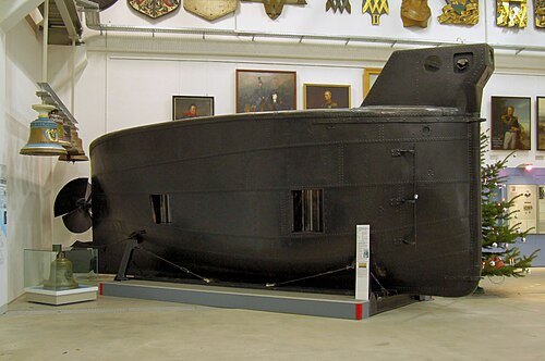
Photograph: Pudelek Derivative work: MagentaGreen / CC BY-SA 3.0
preserved watercraftBrandtaucher
1850 human-powered submarine by Wilhelm Bauer
Getting there Nearest stop or station Dresden Industriegelände, about 15 min on foot OpenStreetMap
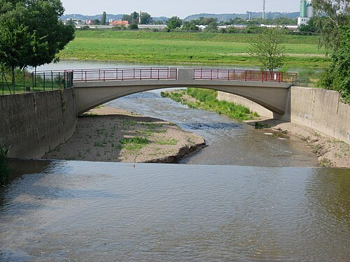
de:Benutzer:VBurg / CC BY-SA 3.0
riverWeißeritz
river, tributary of Elbe, Germany
Getting there Nearest stop or station Freital-Hainsberg West, about 7 min on foot OpenStreetMap
- photo library
Deutsche Fotothek
universal archive for art and cultural history of the Saxon State and University Library, Dresden, Germany
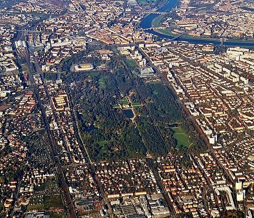 park
Großer Garten
park in Dresden, Germany
Getting there Nearest stop or station Dresden-Strehlen, about 12 min on foot OpenStreetMap
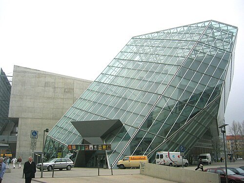
Photo: Andreas Praefcke / CC BY 3.0
movie theaterUfa-Kristallpalast, Dresden
cinema in Dresden
Getting there Nearest stop or station Dresden Hbf, about 9 min on foot OpenStreetMap
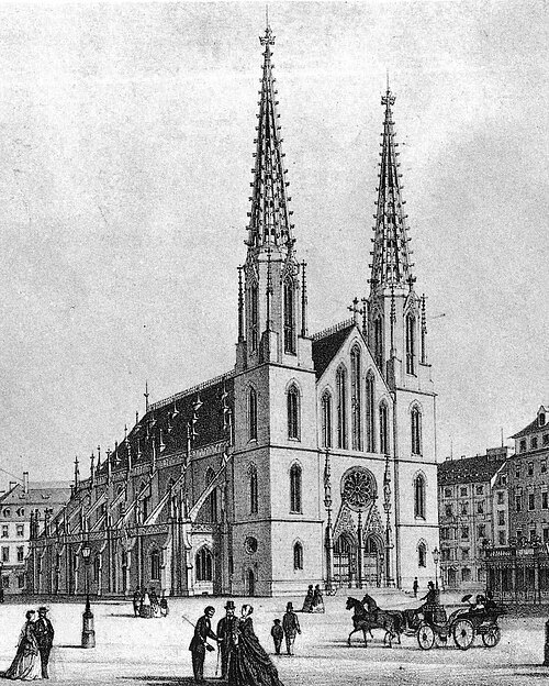
Christian Friedrich Arnold (1832-1890) / Public domain
church buildingSophienkirche
destroyed church building in Dresden, Germany
Getting there Nearest stop or station Dresden Mitte, about 14 min on foot OpenStreetMap
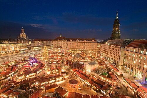 square
Altmarkt
square in Dresden
Getting there Nearest stop or station Dresden Hbf, about 18 min on foot OpenStreetMap
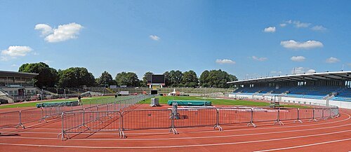 stadium
Heinz-Steyer-Stadion
stadium in the Saxon city of Dresden
Getting there Nearest stop or station Dresden Mitte, about 9 min on foot OpenStreetMap
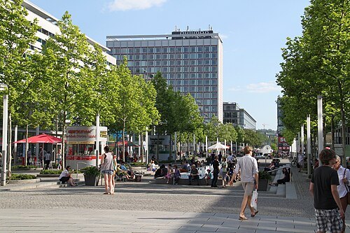 shopping street
Prager Straße
street in Dresden, Germany
Getting there Nearest stop or station Dresden Hbf, about 9 min on foot OpenStreetMap


Places to eat
- restaurant
Försters
Food: german
Nothing here matches that. Clear a filter and try again.
Opening hours and tickets: OpenStreetMap contributors. Each one shows the day a volunteer last wrote it down, so check the official site before you set out.