Cologne: what to see and where to eat
Everything below comes from open data and each row says where it came from. We have not been to any of these places and we do not rank them.
Filters
Things to see
- catholic cathedral
Cologne Cathedral
Roman-Catholic cathedral in Cologne, Germany
Getting there Nearest stop or station Empfangshalle, about 2 min on foot OpenStreetMap
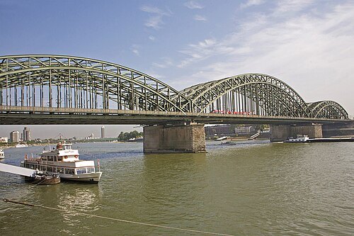 steel bridge
Hohenzollern Bridge
bridge in Cologne, Germany
Getting there Nearest stop or station Breslauer Platz/Hbf, about 6 min on foot OpenStreetMap
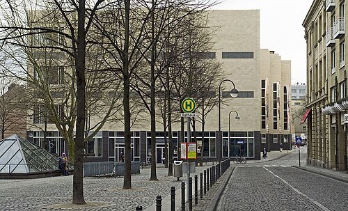
Hans Peter Schaefer - http://www.reserv-a-rt.de / CC BY-SA 3.0
art museumWallraf–Richartz Museum
art museum in Cologne, Germany
Getting there Nearest stop or station Empfangshalle, about 9 min on foot OpenStreetMap
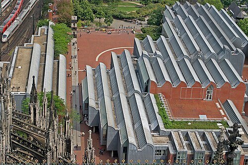 art museum
Museum Ludwig
museum in Cologne, Germany
Getting there Nearest stop or station Empfangshalle, about 4 min on foot OpenStreetMap
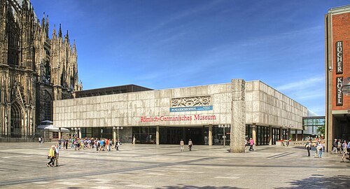
Raimond Spekking / CC BY-SA 4.0
museumRomano-Germanic Museum
archaeological museum of ancient roman and germanic cultures in Cologne, Germany
Getting there Nearest stop or station Empfangshalle, about 3 min on foot OpenStreetMap
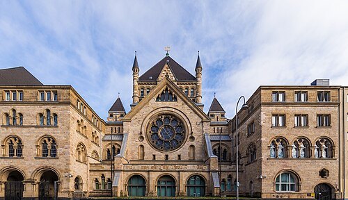
Raimond Spekking / CC BY-SA 4.0
synagogueRoonstrasse Synagogue
synagogue in Cologne
Getting there Nearest stop or station Köln Süd, about 8 min on foot OpenStreetMap
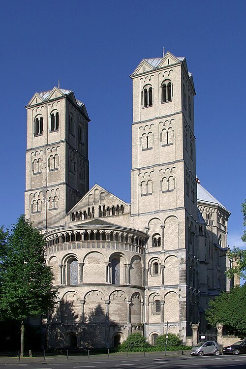
Raimond Spekking / CC BY-SA 4.0
monasterySt. Gereon's Basilica
church in Cologne
Getting there Nearest stop or station Christophstraße / Mediapark, about 5 min on foot OpenStreetMap
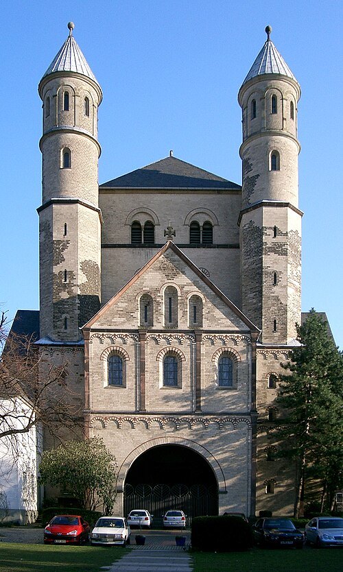
Beckstet at German Wikipedia / CC BY-SA 3.0
church buildingSt. Pantaleon's Church
church in Cologne
Getting there Nearest stop or station Köln Süd, about 12 min on foot OpenStreetMap
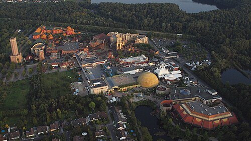
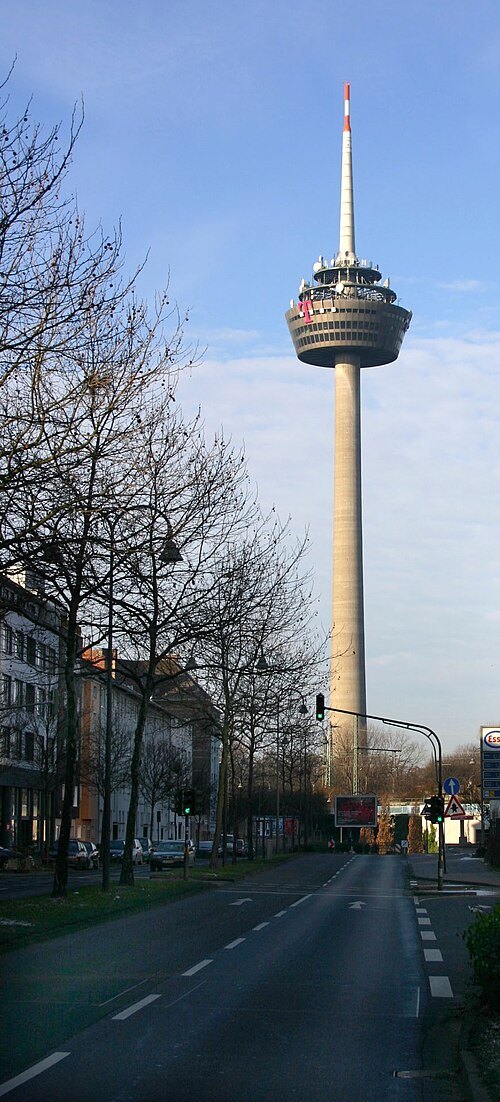 television tower
Colonius
tower in Cologne
Getting there Nearest stop or station Köln West, about 9 min on foot OpenStreetMap
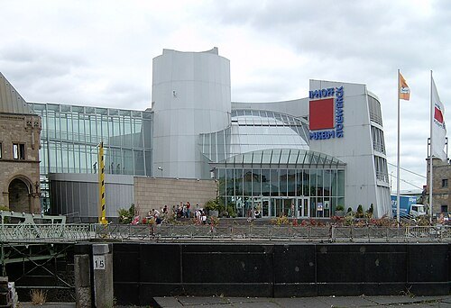
Photo: Arminia, cropped by Elya, / CC BY-SA 3.0
chocolate museumSchokoladenmuseum Köln
museum in Cologne, Germany
Getting there Nearest stop or station Kartäuserhof, about 14 min on foot OpenStreetMap
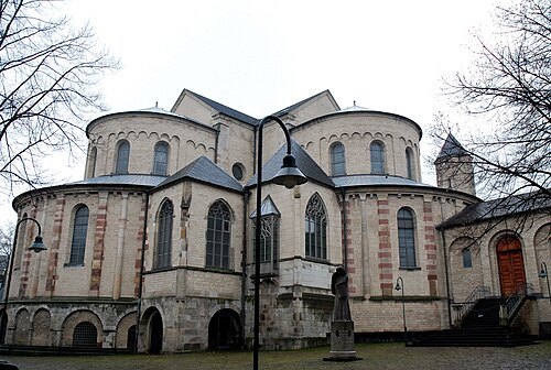 church building
St. Maria im Kapitol
romanesque church in Cologne, Germany
Getting there Nearest stop or station Appellhofplatz/Breite Straße, about 12 min on foot OpenStreetMap
Raimond Spekking / CC BY-SA 4.0
church building incorporated with parish hallBasilica of St. Ursula, Cologne
church building in Altstadt-Nord, Germany
Getting there Nearest stop or station Köln Hansaring, about 6 min on foot OpenStreetMap
- archaeological site
Colonia Claudia Ara Agrippinensium
Roman colony, today Cologne in Germany
Getting there Nearest stop or station Appellhofplatz/Breite Straße, about 8 min on foot OpenStreetMap
Raimond Spekking / CC BY-SA 4.0
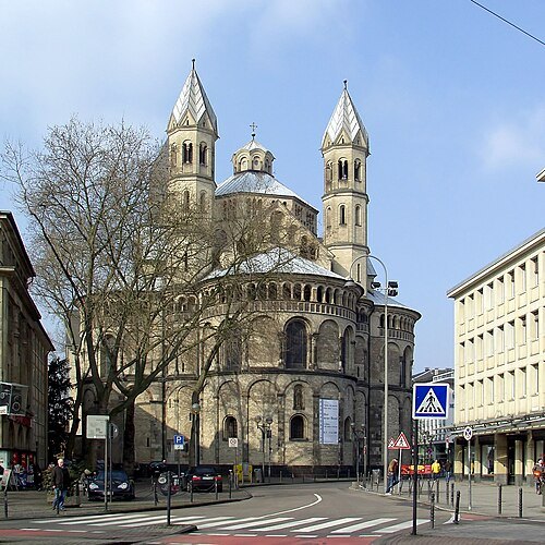
minor basilicaBasilica of the Holy Apostles
church in Cologne-Altstadt-Nord, Germany
Getting there Nearest stop or station Appellhofplatz/Breite Straße, about 8 min on foot OpenStreetMap
Hans Peter Schaefer Url: http://www.reserv-a-rt.de, saturation by User:elya / CC BY-SA 3.0
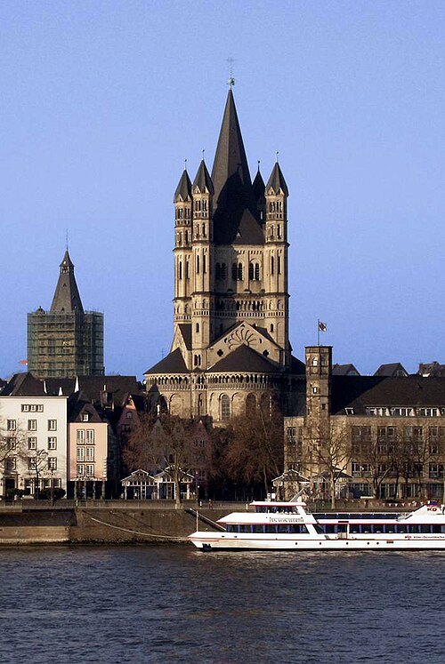
church buildingGreat St. Martin Church
church in Cologne, Germany
Getting there Nearest stop or station Empfangshalle, about 8 min on foot OpenStreetMap
Hans Peter Schaefer http://www.reserv-a-rt.de / CC BY-SA 3.0
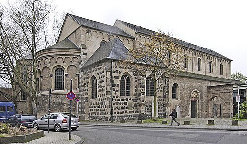
secularized churchSt. Cecilia's Church
Romanesque church in Cologne, Germany
Getting there Nearest stop or station Appellhofplatz/Breite Straße, about 9 min on foot OpenStreetMap
Raimond Spekking / CC BY-SA 4.0
museumFragrance Museum
museum in Cologne, Germany
Getting there Nearest stop or station Empfangshalle, about 8 min on foot OpenStreetMap
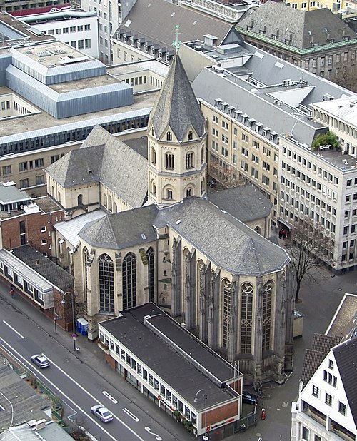
Raimond Spekking / CC BY-SA 4.0
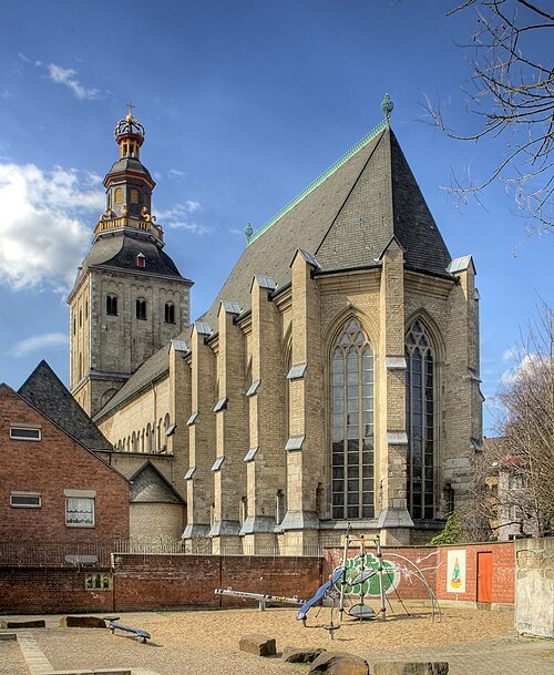
church buildingSt. Andreas Church
church in Köln-Altstadt-Nord, Germany
Getting there Nearest stop or station Empfangshalle, about 4 min on foot OpenStreetMap
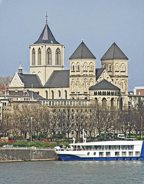 church building
St. Kunibert's Church
church in Cologne, Germany
Getting there Nearest stop or station Breslauer Platz/Hbf, about 7 min on foot OpenStreetMap
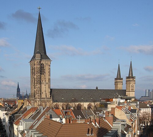
Elke Wetzig (Elya) / CC BY-SA 3.0
minor basilicaBasilica of St. Severin
church building in Altstadt-Süd, Germany
Getting there Nearest stop or station Kartäuserhof, about 3 min on foot OpenStreetMap
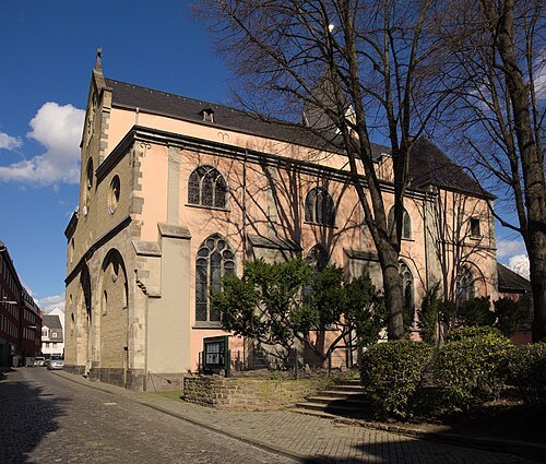 minor basilica
St. Maria Lyskirchen, Cologne
Romanesque church in Cologne
Getting there Nearest stop or station Kartäuserhof, about 14 min on foot OpenStreetMap
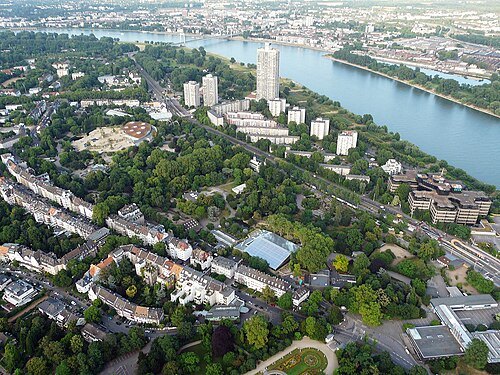 zoo
Cologne Zoological Garden
zoo
Getting there Nearest stop or station Seilbahnstation Zoo, about 2 min on foot OpenStreetMap
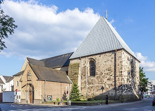
Raimond Spekking / CC BY-SA 4.0
minor basilicaSt. George's Church
one of twelve Romanesque churches in the city of Cologne, Germany
Getting there Nearest stop or station Kartäuserhof, about 12 min on foot OpenStreetMap
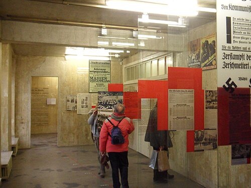
Bryan MacKinnon / CC BY-SA 4.0
memorialNS Documentation Centre of the City of Cologne
NS Documentation Centre - Cologne
Getting there Nearest stop or station Appellhofplatz/Breite Straße, about 2 min on foot OpenStreetMap
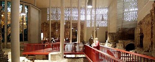
Raimond Spekking / CC BY-SA 4.0
diocesan museumKolumba
art museum
Getting there Nearest stop or station Appellhofplatz/Breite Straße, about 5 min on foot OpenStreetMap
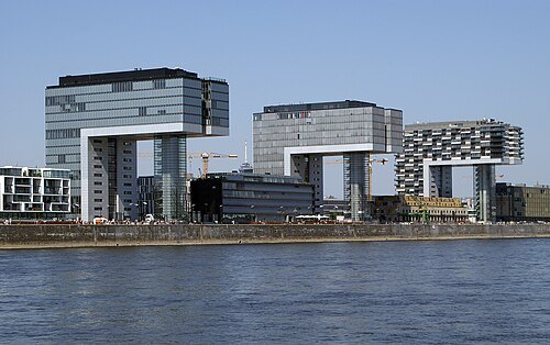
Rolf Heinrich, Köln / CC BY 3.0
streetRheinauhafen
urban renewal project in Cologne, Germany
Getting there Nearest stop or station Kartäuserhof, about 9 min on foot OpenStreetMap
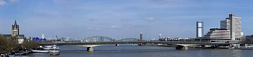
Raimond Spekking / CC BY-SA 4.0
road bridgeDeutz Suspension Bridge
road bridge in Cologne, Germany
Getting there Nearest stop or station Bahnhof Deutz/Messe, about 12 min on foot OpenStreetMap
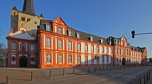
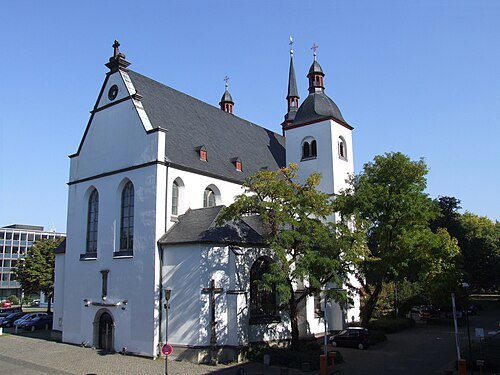 monastery
Deutz Abbey
former monastery in Cologne, Germany
Getting there Nearest stop or station Bahnhof Deutz/Messe, about 7 min on foot OpenStreetMap
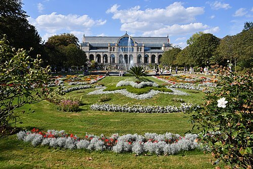
Ladislaus Hoffner / CC BY-SA 4.0
botanical gardenFlora und Botanischer Garten Köln
Cologne Botanical Garden
Getting there Nearest stop or station Seilbahnstation Zoo, about 4 min on foot OpenStreetMap
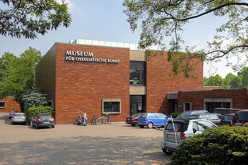
Raimond Spekking / CC BY-SA 4.0
art museumMuseum of East-Asian Art
museum in Cologne
Getting there Nearest stop or station Köln West, about 14 min on foot OpenStreetMap
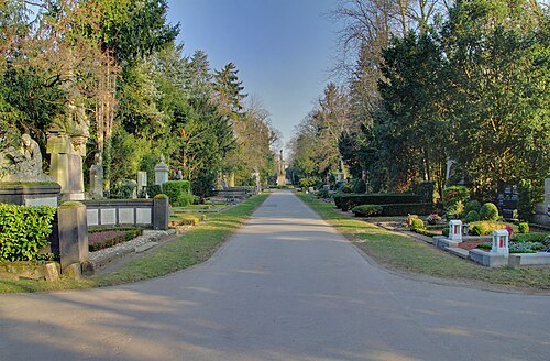 cemetery
Melaten-Friedhof
cemetery in Cologne, Germany
Getting there Nearest stop or station Köln West, about 16 min on foot OpenStreetMap
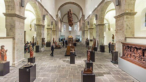
Raimond Spekking / CC BY-SA 4.0
art museumSchnütgen Museum
museum of medieval Christian religious art in Cologne, Germany
Getting there Nearest stop or station Appellhofplatz/Breite Straße, about 9 min on foot OpenStreetMap
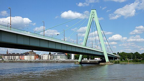
Rolf Heinrich, Köln / CC BY 3.0
cable-stayed bridgeSeverinsbrücke
bridge in Cologne
Getting there Nearest stop or station Kartäuserhof, about 14 min on foot OpenStreetMap
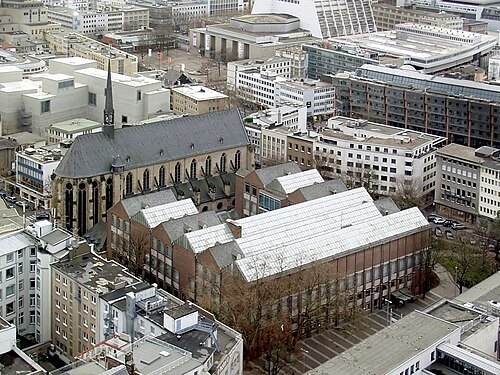
Raimond Spekking / CC BY-SA 4.0
art museumMuseum für Angewandte Kunst
applied art museum in Cologne, Germany
Getting there Nearest stop or station Appellhofplatz/Breite Straße, about 5 min on foot OpenStreetMap
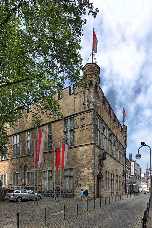
Raimond Spekking / CC BY-SA 4.0
event venueGürzenich
architectural structure in Germany
Getting there Nearest stop or station Empfangshalle, about 10 min on foot OpenStreetMap
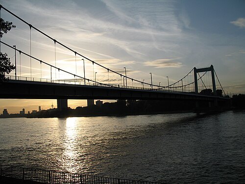
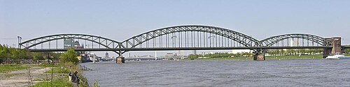
Hans Peter Schaefer --> Hps-poll / CC BY-SA 3.0
steel bridgeSouth Bridge (Cologne)
German railway bridge
Getting there Nearest stop or station Poller Kirchweg, about 14 min on foot OpenStreetMap
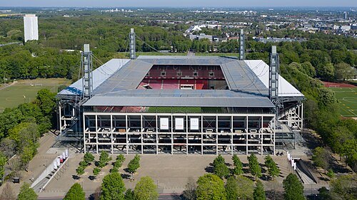
Raimond Spekking / CC BY-SA 4.0
association football venueRheinEnergie Stadion
football stadium and home of 1. FC Köln in the city of Cologne, Germany
- association football venue
BayArena
football stadium in Leverkusen, Germany
Getting there Nearest stop or station Leverkusen Central Station, about 16 min on foot OpenStreetMap
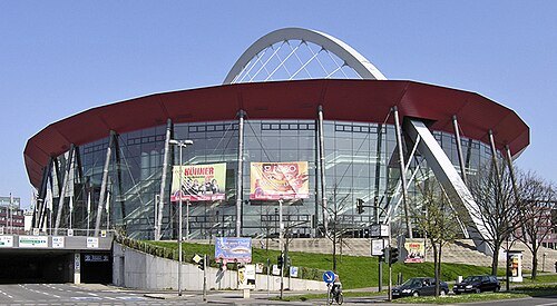
Hans Peter Schaefer / CC BY-SA 3.0
music venueLanxess Arena
music venue and hockey stadium in Cologne, Germany
Getting there Nearest stop or station Deutz Technische Hochschule, about 4 min on foot OpenStreetMap
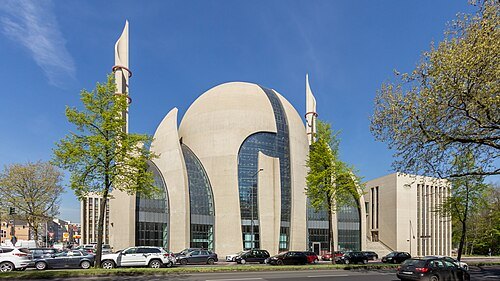
Raimond Spekking / CC BY-SA 4.0
mosqueCologne Central Mosque
mosque
Getting there Nearest stop or station Köln West, about 8 min on foot OpenStreetMap
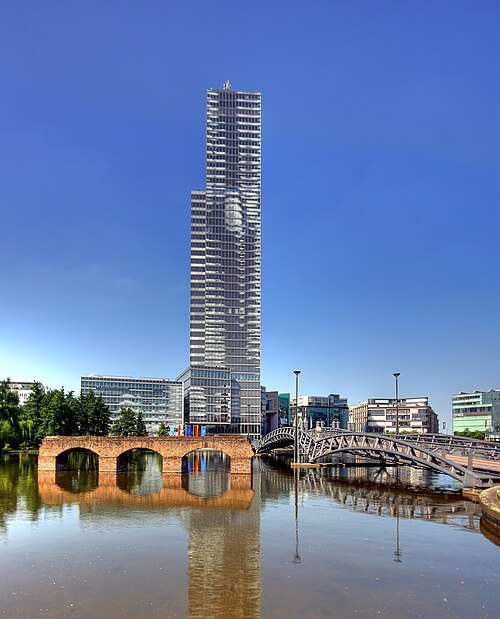
Raimond Spekking / CC BY-SA 3.0
tower blockCologne Tower
office building in Germany, designed by Jean Nouvel (1998-2001)
Getting there Nearest stop or station Christophstraße / Mediapark, about 6 min on foot OpenStreetMap
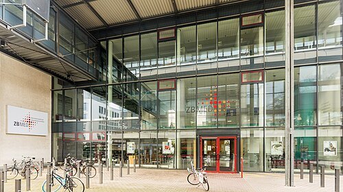
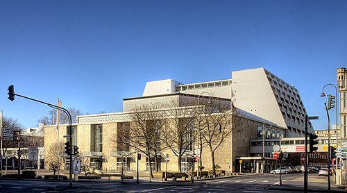
Raimond Spekking / CC BY-SA 4.0
opera houseCologne Opera
building in North Rhine-Westphalia, Germany
Getting there Nearest stop or station Appellhofplatz/Breite Straße, about 3 min on foot OpenStreetMap
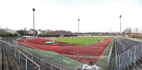
Sebastian Flügel / CC BY-SA 4.0
association football venueSüdstadion
football stadium in Cologne, Germany with a 14,944 capacity including 1,918 covered seats
Getting there Nearest stop or station Köln Süd, about 19 min on foot OpenStreetMap
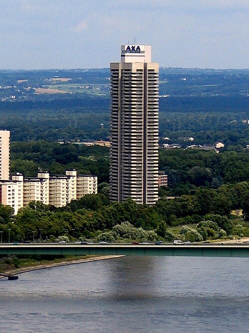 skyscraper
Colonia-Haus
building in Cologne
Getting there Nearest stop or station Seilbahnstation Zoo, about 11 min on foot OpenStreetMap
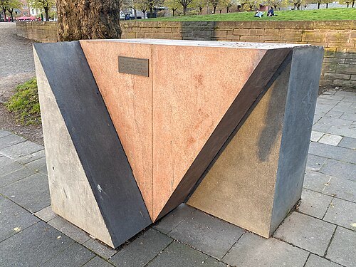 lgbt memorial
memorial to gay and lesbian victims of National Socialism
memorial in Koln
Getting there Nearest stop or station Breslauer Platz/Hbf, about 4 min on foot OpenStreetMap
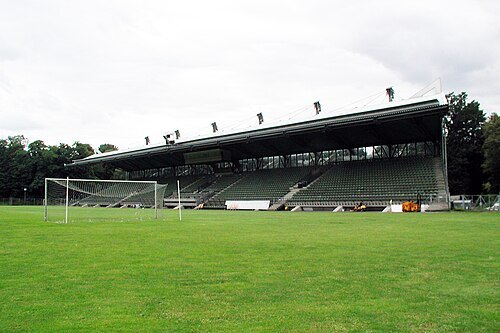
HOWI, cropped by Blackcat / CC BY 3.0
rugby union venueSportpark Höhenberg
German stadium in Cologne
Getting there Nearest stop or station Fuldaer Straße, about 11 min on foot OpenStreetMap
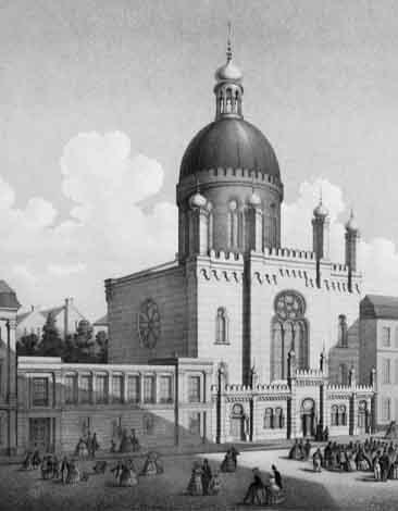
Anton Meder und Carl Emanuel Conrad (1810-1873), / Public domain
synagogueGlockengasse Synagogue
synagogue in Cologne
Getting there Nearest stop or station Appellhofplatz/Breite Straße, about 4 min on foot OpenStreetMap
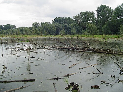 protected area
Worringer Bruch
nature reserve in Cologne, Germany
Getting there Nearest stop or station Köln-Worringen, about 12 min on foot OpenStreetMap
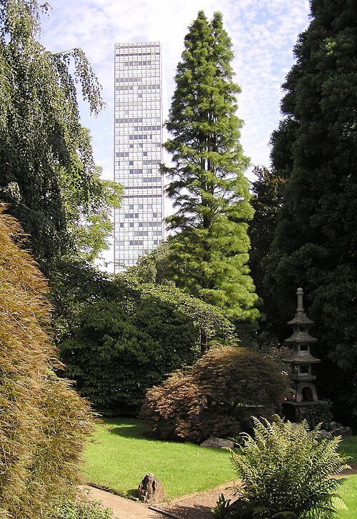 skyscraper
Bayer-Hochhaus
architectural structure
Getting there Nearest stop or station Leverkusen Chempark, about 17 min on foot OpenStreetMap
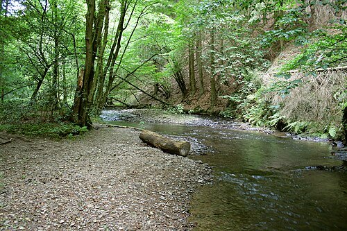
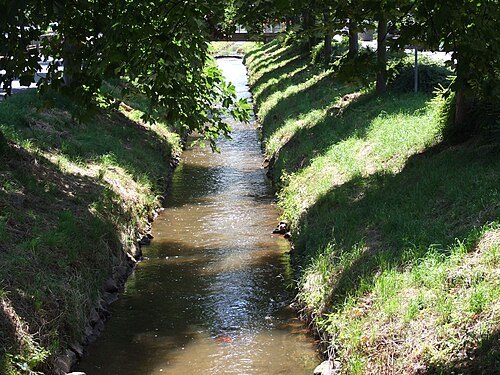
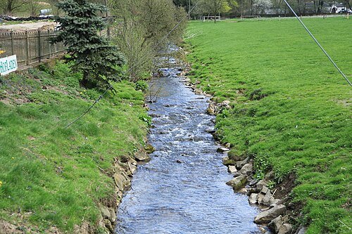 river
Strunde
river in Germany
Getting there Nearest stop or station Köln-Buchforst, about 18 min on foot OpenStreetMap
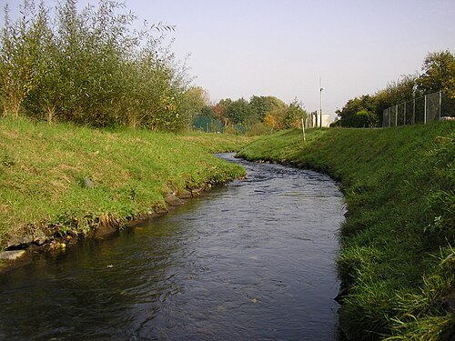
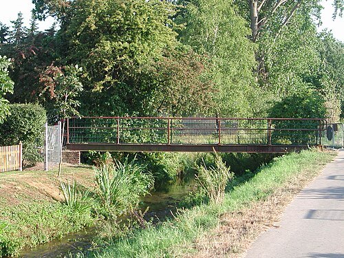
Original uploader was Papa1234 at de.wikipedia / CC BY-SA 3.0
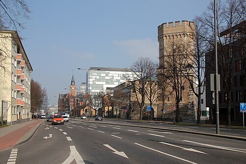
HOWI - Horsch, Willy / CC BY 3.0
old townAltstadt-Süd
city quarter of Cologne No. 101
Getting there Nearest stop or station Kartäuserhof, about 13 min on foot OpenStreetMap


Places to eat
Nothing here matches that. Clear a filter and try again.
Opening hours and tickets: OpenStreetMap contributors. Each one shows the day a volunteer last wrote it down, so check the official site before you set out.