Bonn: what to see and where to eat
Everything below comes from open data and each row says where it came from. We have not been to any of these places and we do not rank them.
Filters
Things to see
- catholic cathedral
Bonn Minster
church
Getting there Nearest stop or station Zentraler Omnibusbahnhof Bonn, about 3 min on foot OpenStreetMap
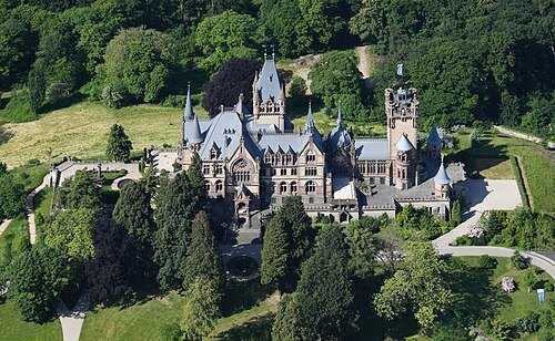 château
Schloss Drachenburg
19th century villa in Königswinter, Germany
Getting there Nearest stop or station Schloß Drachenburg, about 2 min on foot OpenStreetMap
- historic house museum
Beethoven House
museum on and birthplace of Ludwig van Beethoven in Bonn, Germany
Getting there Nearest stop or station Bertha-von-Suttner-Platz / Beethovenhaus, about 2 min on foot OpenStreetMap
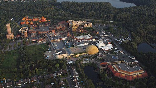
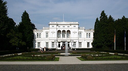 villa
Hammerschmidt Villa
building
Getting there Nearest stop or station Museum Koenig, about 4 min on foot OpenStreetMap
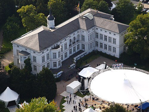 palace
Palais Schaumburg
government office in Bonn
Getting there Nearest stop or station Museum Koenig, about 4 min on foot OpenStreetMap
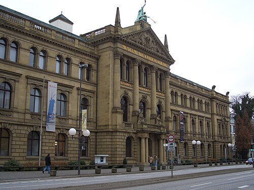
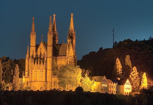
IllusionFactory / CC BY-SA 3.0
catholic pilgrimage churchApollinaris Church
roman-catholic church in Germany
Getting there Nearest stop or station Remagen, about 11 min on foot OpenStreetMap
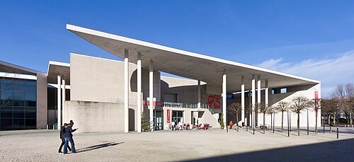
Raimond Spekking / CC BY-SA 4.0
art museumKunstmuseum Bonn
art museum
Getting there Nearest stop or station Heussallee/Museumsmeile, about 3 min on foot OpenStreetMap
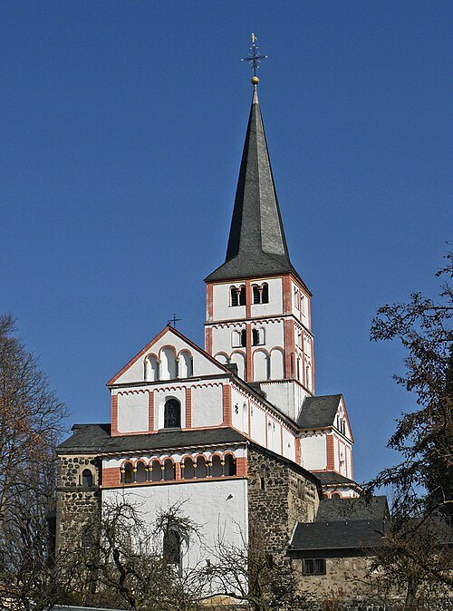 catholic parish church
St Maria and Clemens Church
church in Bonn
Getting there Nearest stop or station Adelheidisstraße, about 13 min on foot OpenStreetMap
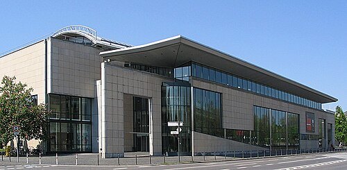 history museum
Haus der Geschichte
museum of contemporary history in Bonn, Germany
Getting there Nearest stop or station Heussallee/Museumsmeile, about 2 min on foot OpenStreetMap
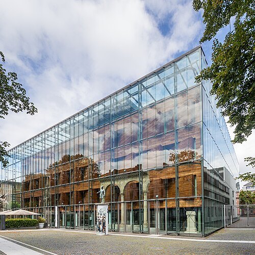
Raimond Spekking / CC BY-SA 4.0
museum buildingLVR-Landesmuseum Bonn
museum in Bonn, Germany
Getting there Nearest stop or station Bonn Hauptbahnhof, about 4 min on foot OpenStreetMap
- women's museum
Bonn Women's Museum
museum in Bonn, Germany
Getting there Nearest stop or station Friedensplatz, about 10 min on foot OpenStreetMap
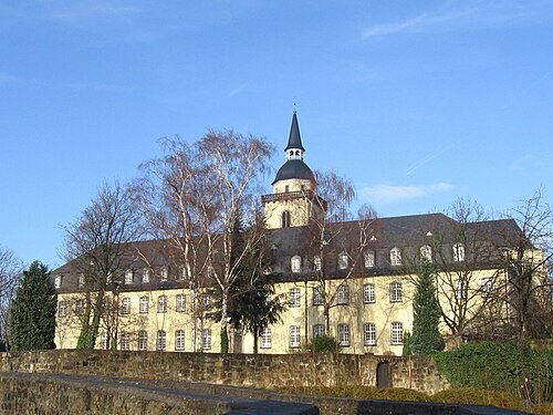
Daniel Tibi (Dti) | daniel-tibi.de / Public domain
abbeyMichaelsberg Abbey, Siegburg
former Benedictine abbey in Siegburg, Germany
Getting there Nearest stop or station Siegburg Bahnhof, about 8 min on foot OpenStreetMap
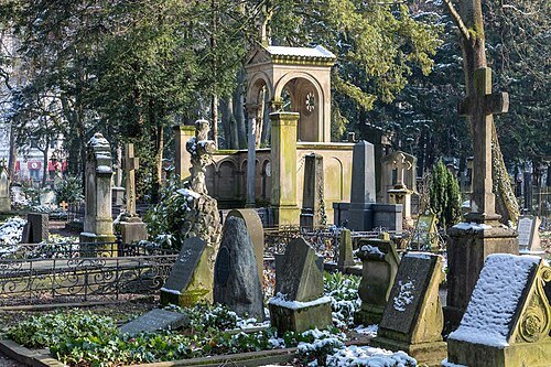 cemetery
Alter Friedhof Bonn
cemetery in Bonn, Germany
Getting there Nearest stop or station Bonn Hauptbahnhof, about 7 min on foot OpenStreetMap
Avi1111 dr. avishai teicher / CC BY-SA 4.0
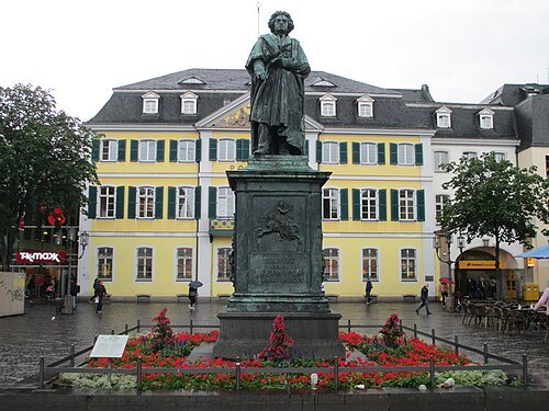
statueBeethoven Monument
statue in Bonn, Germany
Getting there Nearest stop or station Friedensplatz, about 4 min on foot OpenStreetMap
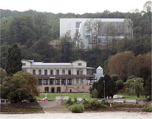
 castle ruin
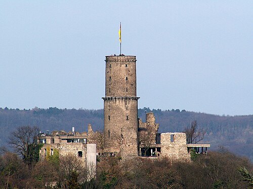
Godesburg
castle ruin
Getting there Nearest stop or station Bad Godesberg Bahnhof, about 8 min on foot OpenStreetMap
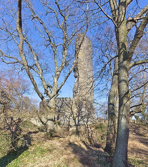
 abbey
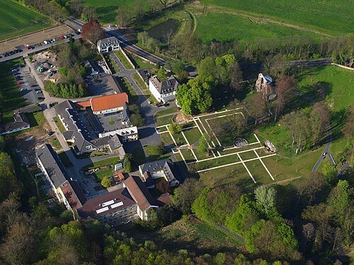
Heisterbach Abbey
also Petersthal, formerly Petersberg, near Oberdollendorf, after which the Hotel Petersberg is named
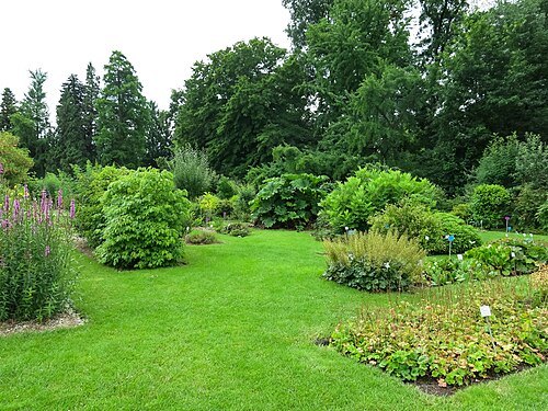 botanical garden
Bonn Botanical Garden
botanical garden
Getting there Nearest stop or station Weberstraße, about 12 min on foot OpenStreetMap
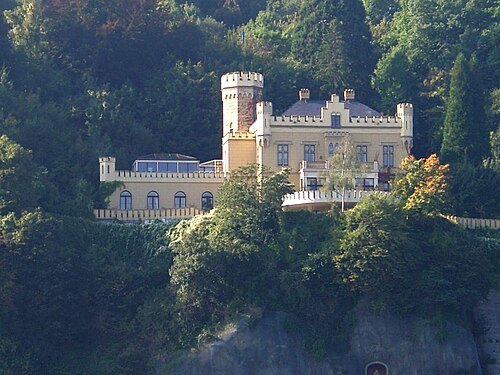 palace
Schloss Marienfels
palace in Remagen, Germany
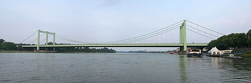 road bridge
Cologne Rodenkirchen Bridge
freeway(A4)-bridge crossing the Rhine south of Cologne
Getting there Nearest stop or station Rodenkirchen Bahnhof, about 16 min on foot OpenStreetMap
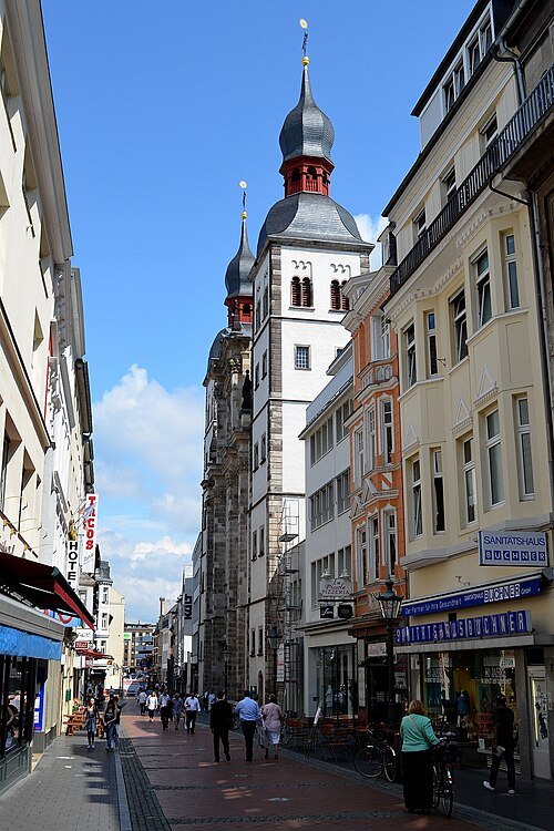 church building
Holy Name Church
Bonn
Getting there Nearest stop or station Bertha-von-Suttner-Platz / Beethovenhaus, about 3 min on foot OpenStreetMap
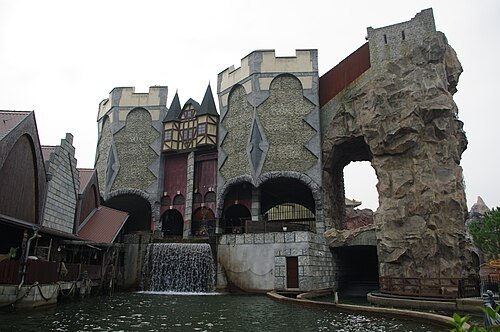
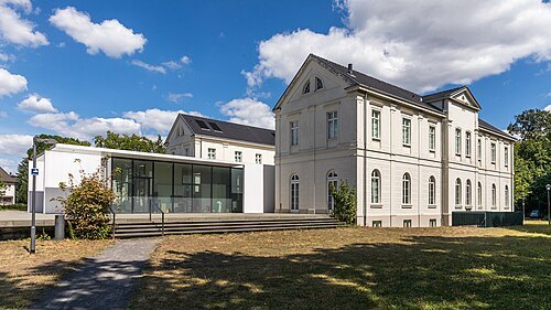
Raimond Spekking / CC BY-SA 4.0
museumMax Ernst Museum
museum in Germany
Getting there Nearest stop or station Brühl, about 3 min on foot OpenStreetMap
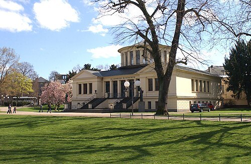 archaeological museum
Akademisches Kunstmuseum
art museum in Bonn
Getting there Nearest stop or station Universität / Markt, about 4 min on foot OpenStreetMap
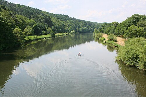
The original uploader was Olbertz at German Wikipedia. (Original text: Olbertz) / CC BY-SA 3.0
riverSieg
river in Germany
Getting there Nearest stop or station Autofähre Mondorf / Christophorus, about 5 min on foot OpenStreetMap
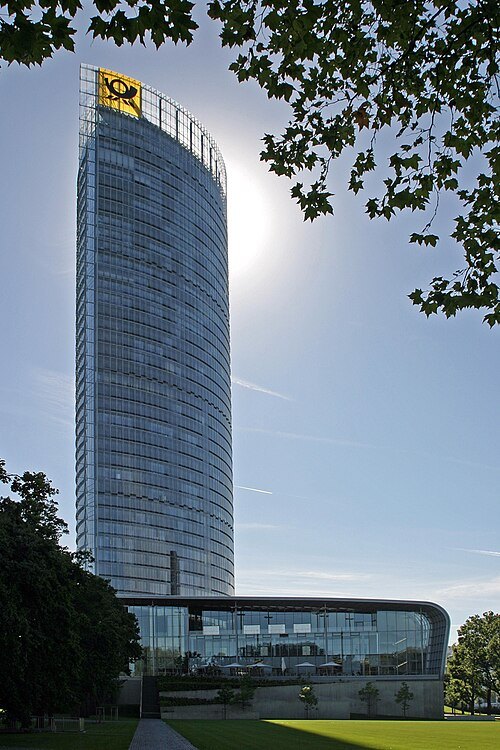 skyscraper
Post Tower
High-rise building in Bonn, Germany
Getting there Nearest stop or station Ollenhauerstraße, about 8 min on foot OpenStreetMap
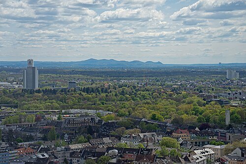
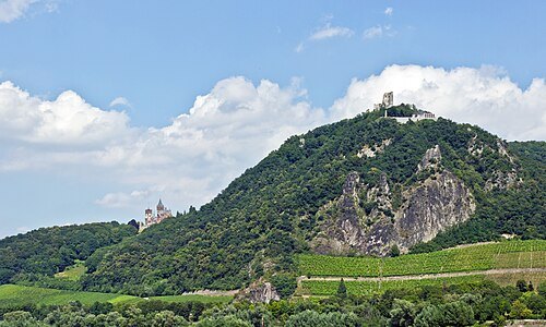
Dmitry Tonkonog and Ksenia Fedosova / CC BY-SA 3.0
mountainDrachenfels
mountain in the Siebengebirge mountain range, Germany
Getting there Nearest stop or station Schloß Drachenburg, about 7 min on foot OpenStreetMap
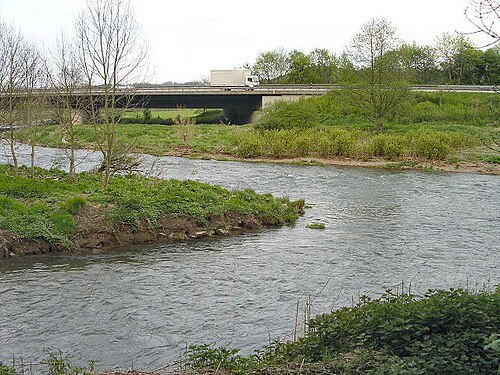 river
Agger
river in Germany
Getting there Nearest stop or station Friedrich-Wilhelms-Hütte, about 16 min on foot OpenStreetMap
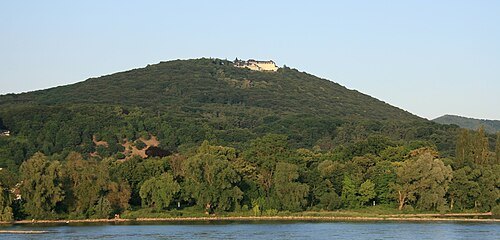 mountain
Petersberg
mountain in the Siebengebirge mountain range near Bonn, Germany
Getting there Nearest stop or station Königswinter, about 20 min on foot OpenStreetMap
- egyptological museum
Bonn Egyptian Museum
egyptological museum in Bonn, Germany
Getting there Nearest stop or station Bonn Hauptbahnhof, about 3 min on foot OpenStreetMap
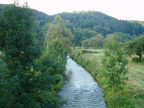
http://de.wikipedia.org/wiki/Benutzer:Bent / CC BY-SA 3.0
riverBröl
river in Germany
Getting there Nearest stop or station Hennef Im Siegbogen, about 16 min on foot OpenStreetMap
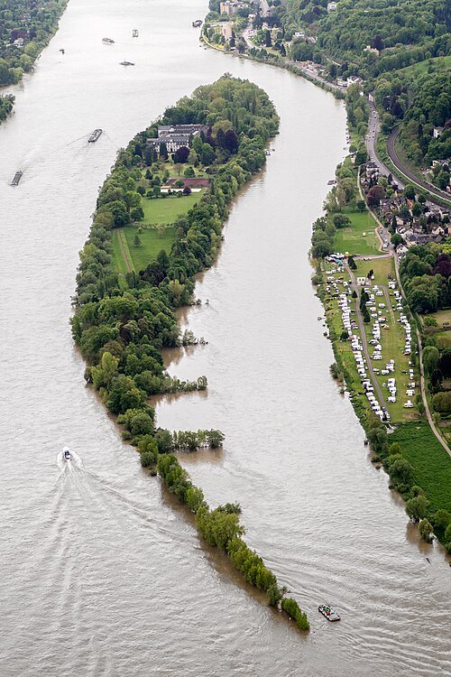 river island
Nonnenwerth
island of the Rhine
Getting there Nearest stop or station Bad Honnef Stadtbahn, about 11 min on foot OpenStreetMap
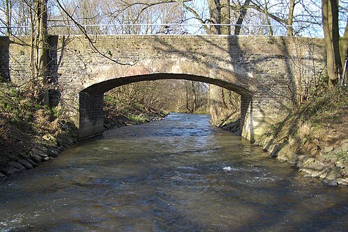
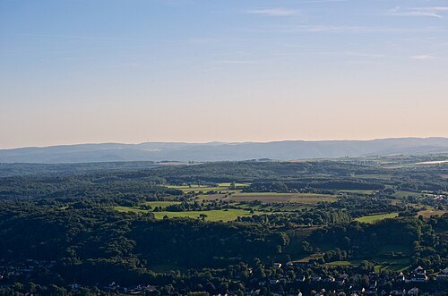
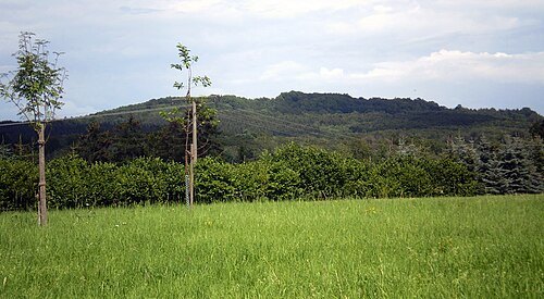
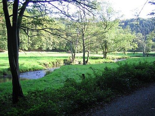
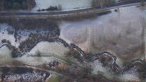
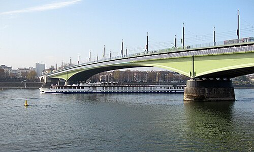 steel bridge
Kennedy Bridge
steel bridge in Bonn, Germany
Getting there Nearest stop or station Bertha-von-Suttner-Platz / Beethovenhaus, about 9 min on foot OpenStreetMap
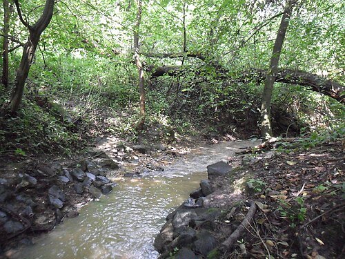
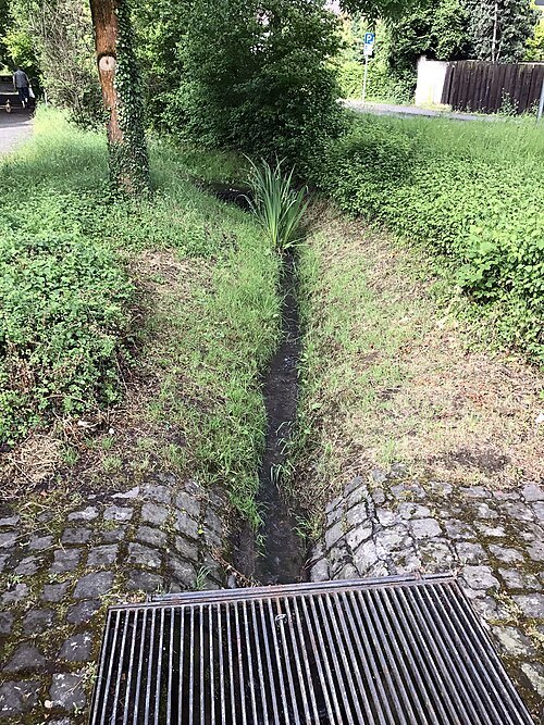 river
Heilsbach
river in Germany
Getting there Nearest stop or station Duisdorf Bahnhof, about 15 min on foot OpenStreetMap
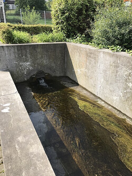 river
Dichbach
river in Germany
Getting there Nearest stop or station Duisdorf Bahnhof, about 14 min on foot OpenStreetMap
- river
Melbbach
river in Germany
Getting there Nearest stop or station Juridicum, about 4 min on foot OpenStreetMap
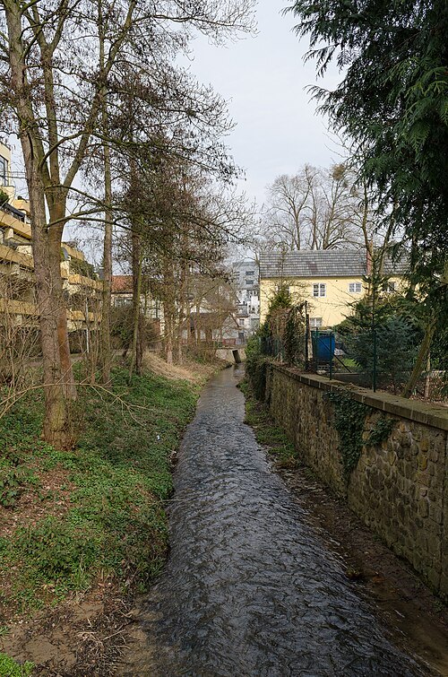
Patrick Ch. Apfeld / CC BY-SA 3.0
riverGodesberger Bach
river in Germany
Getting there Nearest stop or station Autoschnellfähre Bad Godesberg-Niederdollendorf, about 6 min on foot OpenStreetMap
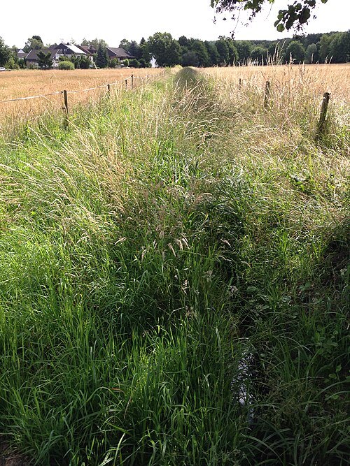 river
Alaunbach
river in Germany
Getting there Nearest stop or station Vilich-Müldorf, about 9 min on foot OpenStreetMap
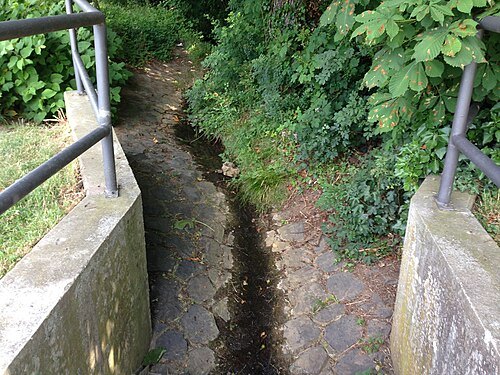 river
Ankerbach
river in Germany
Getting there Nearest stop or station Bonn-Oberkassel, about 4 min on foot OpenStreetMap
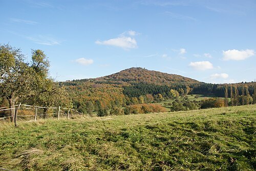
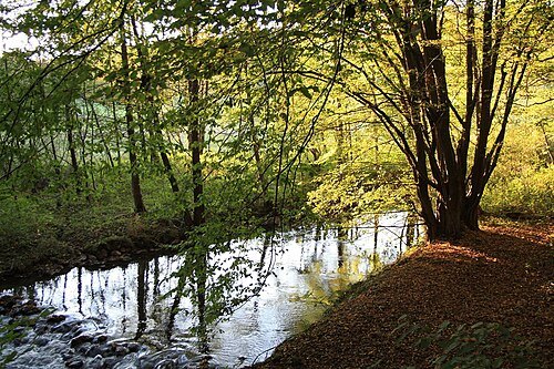
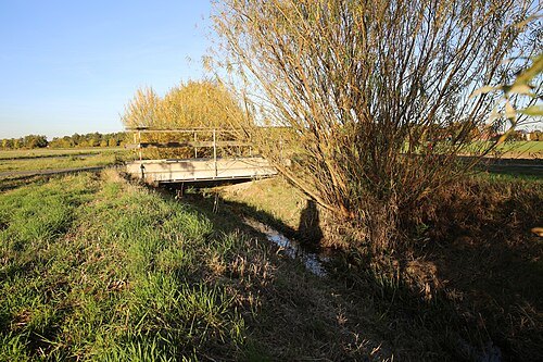
HOWI - Horsch, Willy / CC BY-SA 4.0
riverSiebenbach
river in Germany
Getting there Nearest stop or station Sechtem, about 5 min on foot OpenStreetMap
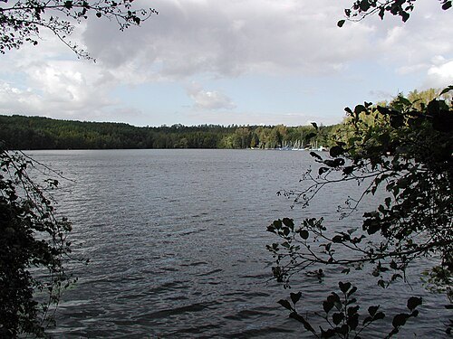 lake
Heider Bergsee
lake in Brühl, Germany
 hill
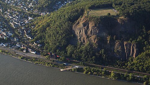
Erpeler Ley
mountain in Germany
Getting there Nearest stop or station Erpel (Rhein), about 6 min on foot OpenStreetMap


Places to eat
Nothing here matches that. Clear a filter and try again.
Opening hours and tickets: OpenStreetMap contributors. Each one shows the day a volunteer last wrote it down, so check the official site before you set out.